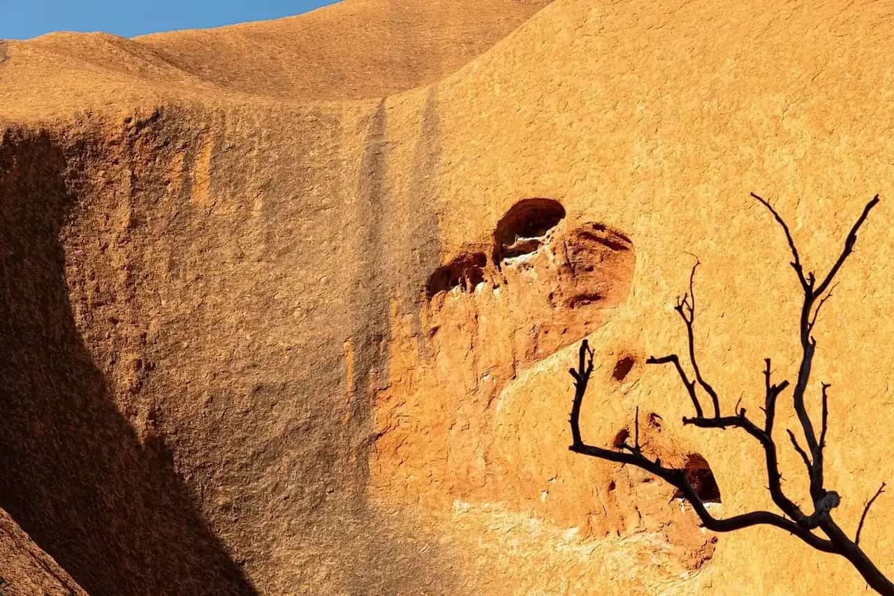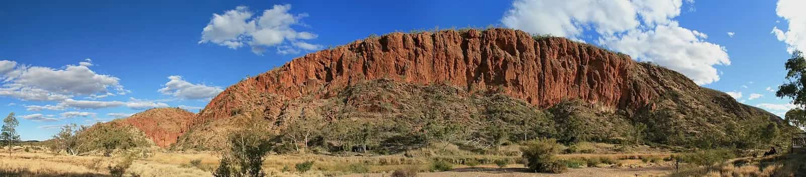
Mount Augustus is one of the most remote national parks in Western Australia, in the Gascoyne region between Carnarvon and Newman. The mountain, Burringurrah, dominates the plains and changes colour through the day. Parks and Wildlife recognises the Burringurrah people as Traditional Owners. The park is jointly managed by the Department of Biodiversity, Conservation and Attractions (DBCA) and the Wajarri Yamaji Aboriginal Corporation under WA's Plan for Our Parks initiative.
The Loop Trail
The 45 km Loop Trail is 2WD friendly, according to Parks and Wildlife, and it reaches every site in the park: Aboriginal rock engravings (petroglyphs), gorges and open plains. Drive it slowly and allow time for short walks along the way. Wildlife is most active at dawn and dusk. Look for bungarras (goannas), perenties, euros and birds of prey.
Walk trails
Parks and Wildlife says all trails in the park are essentially unmodified, often steep, and have limited signage on the harder routes. Trails include:
| Trail | Distance (return) | Notes |
|---|---|---|
| Gum Grove Trail | 500 m | Shady river red gums, birdlife, some steps and loose rocks |
| Corella Trail | 500 m | Along Cattle Pool. An important Wajarri site, so stay on the trail |
| Ooramboo Trail | 550 m | To a low escarpment with petroglyphs |
| Flintstone Rock Trail | 650 m | An Aboriginal cultural site along a rocky creek bed, about 30 minutes |
| Petroglyph Trail | Short | Wajarri engravings on a rock wall. Look but don't touch |
| Kotka Gorge Trail | 2.7 km | Rough, steep, with rock scrambling |
| Goordgeela Trail | 3 km | Difficult, up a steep rocky watercourse to a northern lookout |
| Edney's Trail | 5 km | Very steep, with scrambling, to Edney's Lookout |
| Summit Trail | Full day | Very challenging. Only for very fit, experienced bushwalkers |
Parks and Wildlife asks visitors to respect the Wajarri Traditional Owners' request not to walk the mount at night, for safety and heritage reasons.
The Summit Trail rules
The Summit Trail is a full-day, very challenging hike. Parks and Wildlife warns that heat stress can kill, and that some hikers haven't survived it. There's no rescue helicopter in the region. The trail is:
- open from May to August
- closed after 7 am in September, October, March and April, so you must start before 7 am in those months
- closed from November to February
Before attempting it, spend a few days on shorter trails. Fill out the Summit Hiking Form, available online or from Mount Augustus Tourist Park, and leave it on your dashboard. Turn back if you feel fatigued.
Cattle Pool
Cattle Pool is a natural, permanent pool busy with birdlife, including blue-winged kookaburras and sacred kingfishers. Parks and Wildlife says it's suitable for a dip or a paddle in a canoe.
Heat and safety
Parks and Wildlife says the risks of exposure and dehydration are significant here. From September to April they're extreme, with temperatures often above 40°C, and radiant heat from the rocks can add another 5–10°C. Its advice:
- Hike in the coolest part of the day, and avoid hot weather.
- Carry and drink at least 1 litre of water per person per hour of hiking. There's no drinking water in the park.
- Hike in groups of three or more, and stay on marked trails.
- Wear a broad-brimmed hat, loose long sleeves, sturdy footwear and sunscreen.
- Carry a PLB or satellite phone. Mobile coverage is extremely limited.
- Leave your plans with a trusted person, and agree on a time to raise the alarm.
See outback summer heat and remote area travel safety.
Getting there
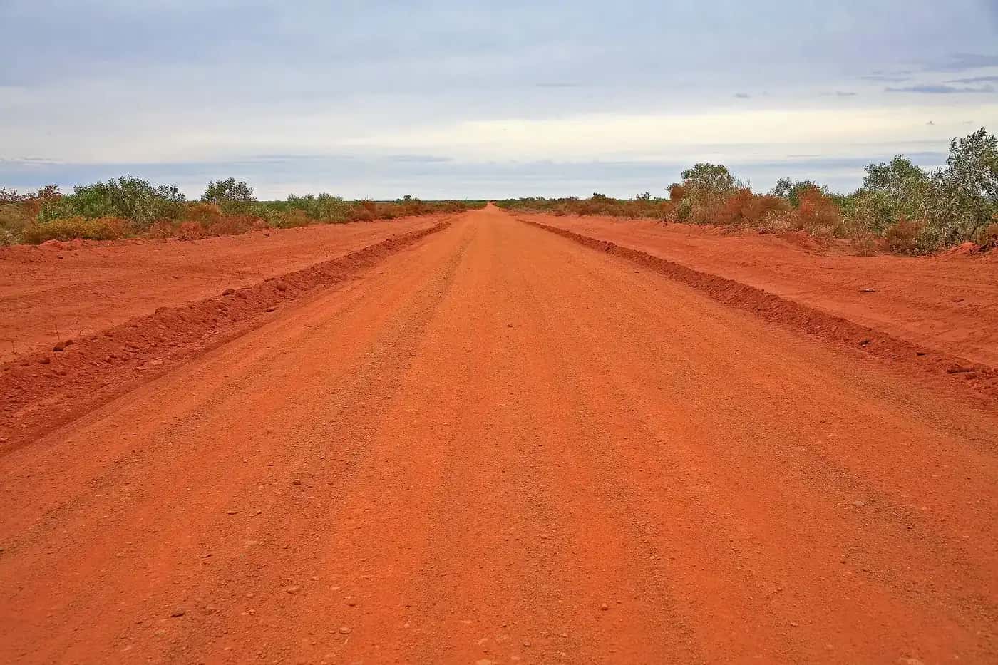
Mount Augustus is very remote, with long, mostly unsealed roads from the Gascoyne coast or from the Great Northern Highway near Newman. Roads can close after rain. Carry enough fuel, water and spare tyres, and check the Main Roads WA travel map and local shire road reports. See fuel, permits and road conditions.
Fees and rules
- No park entry fee.
- No dogs or other pets.
- No drinking water in the park.
- Leave rock engravings and cultural sites untouched.
Where to stay
Mount Augustus Tourist Park, near the national park, is the main base. Parks and Wildlife says Summit Hiking Forms are available there. Check its facilities and opening season before you go. Parks and Wildlife's Gascoyne office can advise on current park conditions.
Best time to visit
The cooler months, roughly May to August, are the safest and most comfortable, and they're also when the Summit Trail is fully open. Nights can be cold. See outback weather by month.
Related guides
Also in the Gascoyne: Kennedy Range National Park and the coastal gateway town of Carnarvon.
Frequently asked questions
Is Mount Augustus worth visiting?
For travellers who enjoy remote places, yes. You can drive the 45 km Loop Trail, see Aboriginal petroglyphs, paddle at Cattle Pool, spot wildlife and, in the right season, tackle the summit hike. Entry is free, but the park is very remote and needs careful planning.
Is the road to Mount Augustus sealed?
No. Access roads to Mount Augustus are long and largely unsealed, and can close after rain. The 45 km Loop Trail within the park is described by Parks and Wildlife as 2WD friendly. Check Main Roads WA and the shire's road reports before you go.
How long does it take to climb Mount Augustus?
Parks and Wildlife describes the Summit Trail as a full-day, very challenging hike for very fit, experienced bushwalkers only. It's open from May to August, must be started before 7 am in September, October, March and April, and is closed from November to February.
What are some interesting facts about Mount Augustus?
The mountain is known as Burringurrah to its Traditional Owners. The park is jointly managed by WA's Department of Biodiversity, Conservation and Attractions and the Wajarri Yamaji Aboriginal Corporation. It has no entry fee, and a 45 km loop drive gives access to its gorges, plains and petroglyphs.
Sources and further reading
Facts on this page were checked against these primary and official sources. Conditions change — confirm before you travel or buy.
- Mount Augustus National Park — Department of Biodiversity, Conservation and Attractions (WA)
- Travel map — Main Roads Western Australia