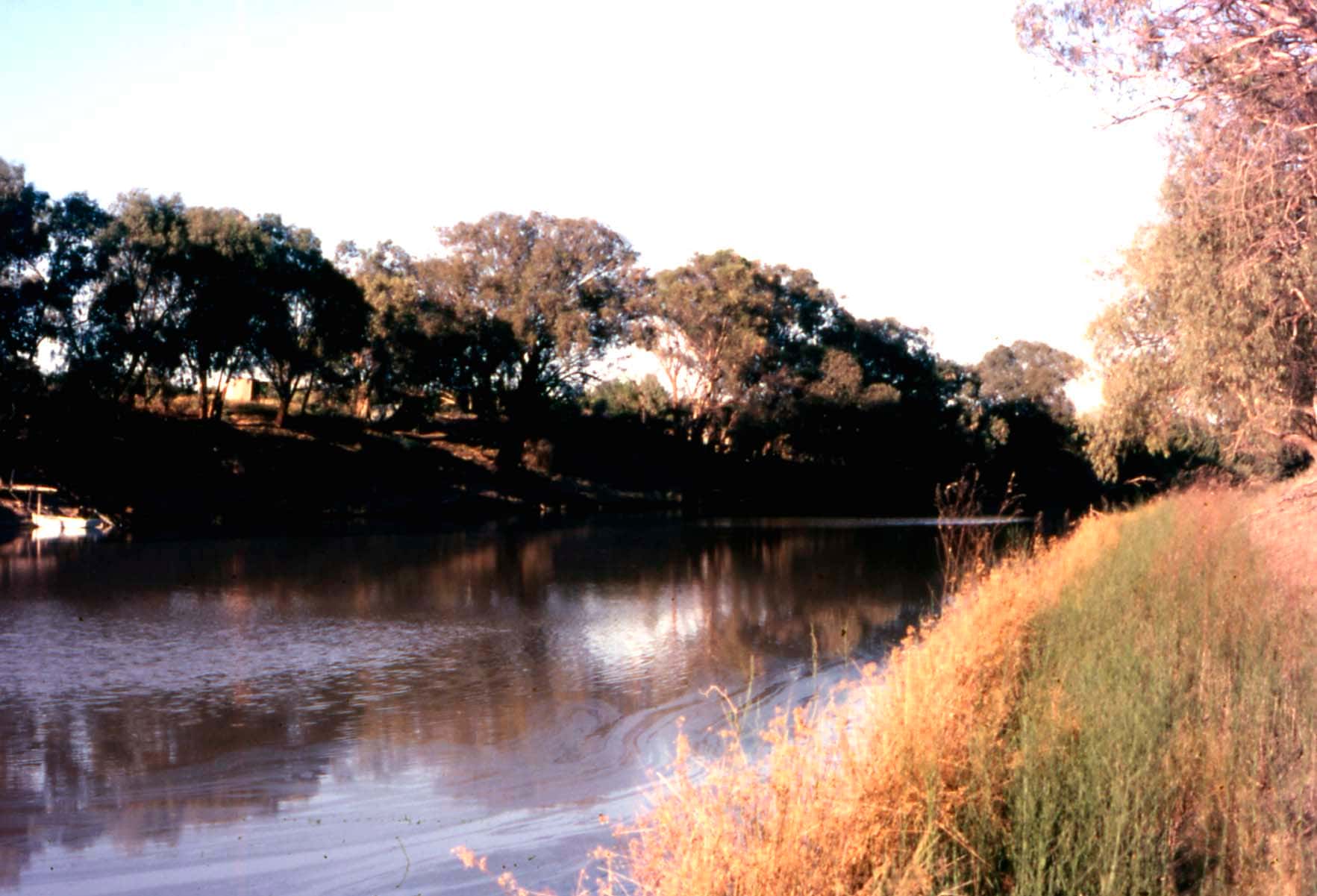
The Darling River, known to many Aboriginal communities as the Baaka or Barka, has sustained Aboriginal people for tens of thousands of years. It still shapes life in far western NSW. The Darling River Run is a touring route that follows it through some of the state's most remote and atmospheric country: river red gum forests, wide plains, old paddle-steamer ports, bush pubs and small communities.
The route
The official Darling River Run site says the route is about 950 km, depending on which roads, side trips and river crossings you choose. Several sections have eastern and western road options, so distances vary. From north to south, the main towns and villages are:
- Brewarrina: home of the ancient Aboriginal fish traps.
- Bourke: the "Back O' Bourke" hub, with Darling River cruises.
- Louth: a small river village with a historic pub.
- Tilpa: famous for its bush pub. See outback pubs.
- Wilcannia: a former river port with sandstone buildings.
- Menindee: the lakes and Kinchega National Park.
- Pooncarie: a quiet river township.
- Wentworth: where the Darling meets the Murray.
You can also start at Wentworth and drive north. The official site lists side trips to places such as Walgett, Cobar and White Cliffs. Mildura is close to the southern end.
How many days to allow
The official site says most travellers allow 7 to 14 days, and recommends taking longer. Some people spend a month on the run. Slow travel suits the route: riverside camping, station stays, fishing and long evenings by the fire.
Can you drive it in a normal car?
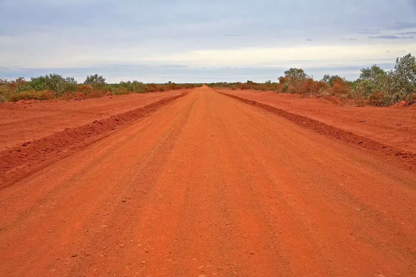
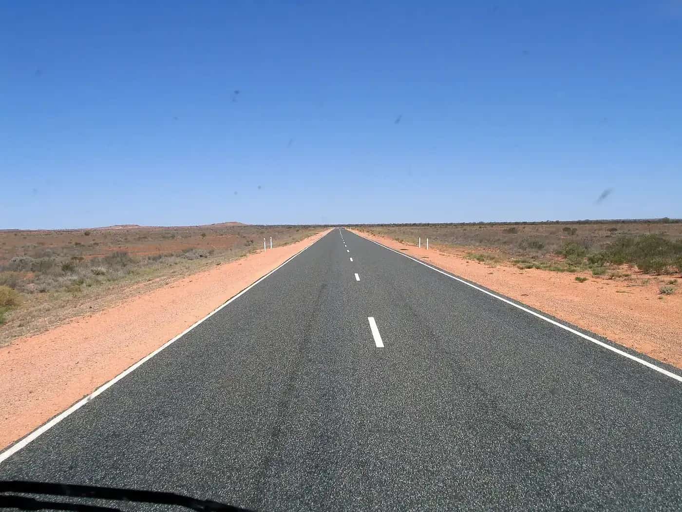
The official site says most sections can be driven in a regular 2WD in dry conditions. However:
- Many roads are unsealed.
- Conditions can change quickly after rain.
- Some remote sections can become muddy or closed.
A 4WD adds flexibility for side tracks, station stays and remote camps. Never drive on a closed road. Driving on closed unsealed roads can damage them and leave you stranded. Check council road reports and Live Traffic NSW before each leg. See 4WD driving.
Caravans and motorhomes
The route is popular with caravanners, and the official site says many sections are accessible to caravans in suitable weather. Monitor weather and road conditions closely, carry enough supplies to wait out a closure, and plan flexible itineraries. See caravanning in the outback.
Best time to go
The official site recommends:
- Autumn (March to May)
- Winter (June to August): cooler days, campfires and comfortable touring.
- Spring (September to November)
Summer can be extremely hot, often above 40°C, and some station stays close in the hotter months. See outback weather by month.
Highlights
The official site lists highlights including:
- The Brewarrina Fish Traps
- Historic outback pubs
- River camping and sunsets over the Darling
- Menindee Lakes and Kinchega National Park
- Mungo National Park
- Aboriginal cultural experiences
- Paddle-steamer history
- Pastoral stations and station stays
- Birdlife and wildlife
National parks along the way
The official site lists Mungo, Kinchega, Mutawintji, Gundabooka and Toorale national parks along or near the route, and mentions Paroo-Darling, Sturt and Culgoa as well. Check NSW National Parks for current access and camping bookings.
Fuel and supplies
The official site lists fuel in towns including Brewarrina, Bourke, Louth, Tilpa, Wilcannia, Menindee and Wentworth. Distances between towns can be long. Fill up regularly, carry water, and don't rely on remote fuel outside normal trading hours. See fuel, permits and road conditions.
Camping and accommodation
Options include free camping, riverside camping reserves, station stays, caravan parks, national park campgrounds and private bush camps, along with pubs, motels and cabins in town. When camping:
- Respect private property.
- Follow fire restrictions.
- Take your rubbish with you.
- Check access conditions.
See outback camping, free camping rules and outback station stays.
Travel respectfully
The Baaka has deep cultural significance to many Aboriginal nations in western NSW. Learn about local culture and support Aboriginal-led experiences where you can. See Aboriginal-led experiences and visiting Country respectfully.
Related guides
Frequently asked questions
How long does it take to do the Darling River Run?
The official Darling River Run site says most travellers allow 7 to 14 days. It recommends allowing longer, and says it's not unusual for travellers to spend a month on the run.
Can you take a caravan on the Darling River Run?
Yes, in suitable conditions. The official site says many sections are accessible to caravans in good weather, but many roads are unsealed and conditions can change quickly after rain. Monitor road reports carefully and never drive on closed roads.
Where does the Darling River Run start and finish?
The official site says the route generally starts at Brewarrina in the north and runs south-west to Wentworth, where the Darling River meets the Murray. You can also travel it in reverse.
What is the best time to do the Darling River Run?
The official site recommends autumn (March to May), winter (June to August) and spring (September to November). Summer temperatures can exceed 40°C, and some station stays close in the hotter months.
Sources and further reading
Facts on this page were checked against these primary and official sources. Conditions change — confirm before you travel or buy.
- Darling River Run Q&A — The Darling River Run
- Runs — The Darling River Run
- Live Traffic NSW — Transport for NSW