Outback Queensland was the largest section of the original Outback Now town directory — Cameron Corner, Thargomindah, Dirranbandi, Millmerran, Cloncurry, Betoota and many more — reflecting how many small towns are scattered across the state's west. This guide covers the towns travellers visit most, plus places that readers and other websites linked to for years.
Regions at a glance
Central West — Longreach, Winton, Barcaldine and Boulia: pastoral heritage, the dinosaur trail and the Tree of Knowledge.
South West — Charleville, Cunnamulla, Thargomindah, Quilpie, Windorah and Birdsville: bilbies, bore baths, opal fields and the Channel Country.
Outback North and Gulf — Mount Isa, Cloncurry, Hughenden, Richmond, Camooweal, Normanton and Karumba: mining, marine fossils, gorges and barramundi.
Maranoa and Capricorn — Roma, Mitchell, Duaringa and the gemfields: oil and gas history, spa towns and sapphires.
Town guides
- Longreach
- Winton
- Birdsville
- Barcaldine
- Boulia
- Charleville
- Mitchell
- Cloncurry
- Mount Isa
- Hughenden
- Richmond
- Camooweal
- Normanton
- Duaringa
Getting around
The state's outback highways are sealed but long, often single-lane-each-way and shared with road trains. Unsealed roads in the Channel Country, including routes to Birdsville and Bedourie, close after rain; check QLDTraffic daily. Queensland Rail's outback trains — the Spirit of the Outback to Longreach, the Westlander to Charleville and the Inlander to Mount Isa — are a relaxed alternative.
When to go
April to September is peak season, with most events, tours and museum programs running. Summer is very hot and the Gulf has a wet season from roughly November to April. See best time to visit.
Queensland's outback
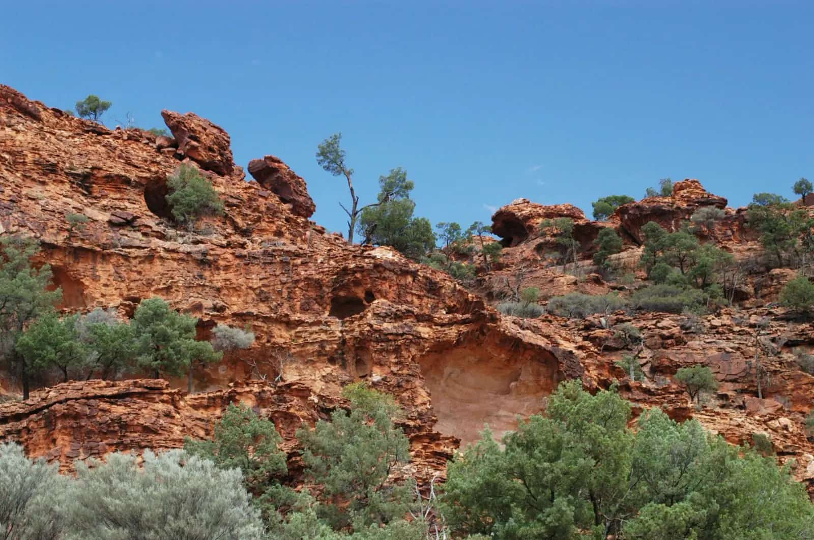
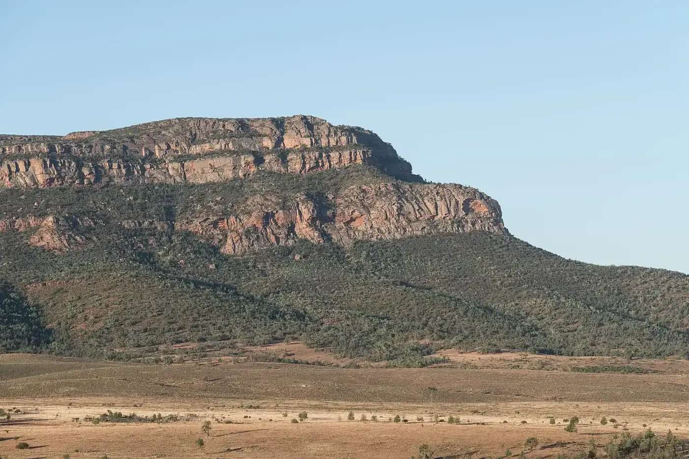
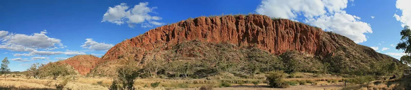
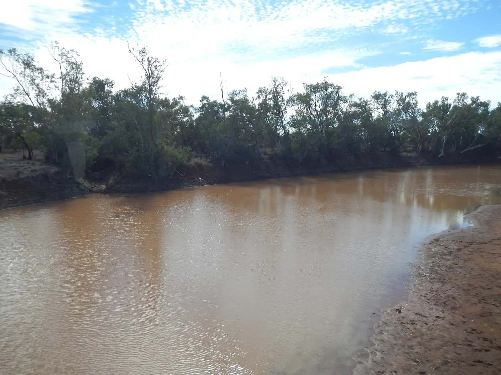
Outback Queensland covers a vast area west of the Great Dividing Range, from the New South Wales border to the Gulf of Carpentaria and from the Darling Downs to the Northern Territory and South Australian borders. It includes grazing country of Mitchell grass downs, the Channel Country's braided rivers, red sand dunes on the edge of the Simpson Desert, gorges in the Gulf Country and mining towns in the north-west. Tourism and Events Queensland and the regional tourism organisation Outback Queensland Tourism promote the region, and the state government's QLDTraffic website provides road information.
More town guides
- Roma — the Maranoa's regional centre, with its Big Rig and saleyards.
- Cunnamulla — the Warrego River and the Cunnamulla Fella.
- Thargomindah — hydro power history and the Bulloo River.
- Quilpie — boulder opal country.
- Windorah — red dunes and Cooper Creek.
- Blackall — the Black Stump and woolscour.
- Julia Creek — the dunnart and the Flinders Highway.
- Emerald — gateway to the gemfields.
- Karumba and Burketown — fishing towns on the Gulf.
- Croydon — gold-rush heritage and the Gulflander.
- St George and Millmerran — gateways from the Darling Downs.
Themes to explore
- Dinosaurs and fossils — the Dinosaur Trail through Winton, Hughenden and Richmond, and the Eromanga Natural History Museum near Quilpie.
- Pastoral and aviation heritage — Longreach's Stockman's Hall of Fame and the Qantas Founders Museum.
- Artesian water — the bore baths of the Great Artesian Spa Tour.
- Events — the Birdsville Races, Mount Isa Rodeo and camel races.
- National parks — Carnarvon Gorge, Boodjamulla, Porcupine Gorge, Idalia and Currawinya.
Getting there
Regional airlines connect Brisbane and Townsville with outback centres including Longreach, Mount Isa, Charleville, Roma and Emerald. Queensland Rail runs three outback train services: the Westlander (Brisbane to Charleville), the Spirit of the Outback (Brisbane to Longreach via Rockhampton) and the Inlander (Townsville to Mount Isa). By road, the main highways are sealed but long; check QLDTraffic before you travel.
Climate and seasons
Summers are hot across the outback, with temperatures often above 40°C in the south-west and Channel Country. The Gulf has a tropical wet season from about November to April, with heavy rain and flooding that can close roads for weeks. Winters are dry and mild, with cold nights in the south. The cooler months are the main tourist season, when most attractions and tours operate full schedules.
Safety
Outback Queensland is remote, and some roads are unsealed. Carry plenty of water and fuel, plan for long distances, and avoid driving at night. In the Gulf, saltwater crocodiles are present in rivers and estuaries. Read our outback safety guide and crocodile safety.
Suggested loop
A two-week loop from Brisbane: Roma, Charleville, Quilpie, Windorah, Longreach, Winton, Barcaldine and back via Emerald and Carnarvon Gorge. Allow extra time for side trips and check road conditions for unsealed sections.
Regional visitor centres
Accredited visitor information centres operate in most outback Queensland towns, often run by local councils. They are the best source of current information on roads, events, tours and accommodation, and many double as museums or galleries. Larger centres include those in Longreach, Winton, Charleville, Mount Isa (Outback at Isa) and Roma. Staff can also advise on fuel availability and opening hours in smaller towns along your route, which is especially useful on public holidays and in the quieter summer months.
Fishing and water
Rivers such as the Warrego, Paroo, Thomson, Barcoo, Diamantina and Gulf rivers offer fishing for yellowbelly, catfish and, in the north, barramundi. Queensland fishing rules apply, including size and possession limits and closed seasons.
Explore the Channel Country and Gulf Country region guides, and the Matilda Way.
Plan a drive: outback Queensland road trip.
Queensland's outback parks include Idalia near Blackall, Porcupine Gorge north of Hughenden and Rinyirru (Lakefield) on Cape York.
Guides in this section
Outback Queensland
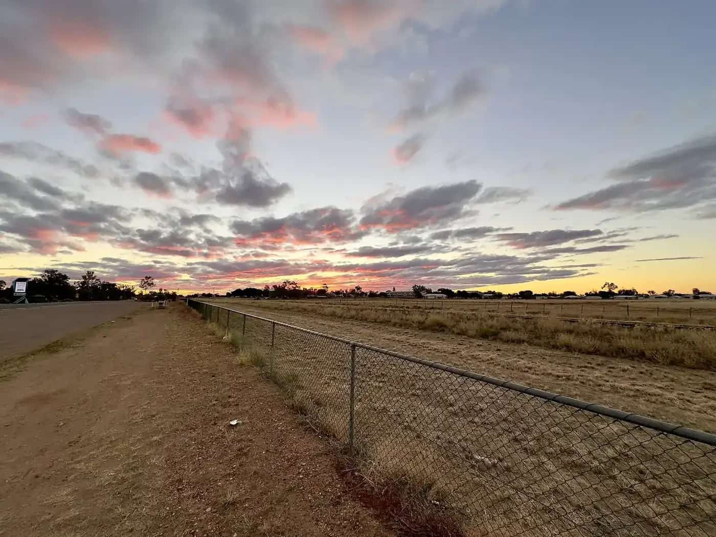
Longreach
Longreach, Queensland: the Australian Stockman's Hall of Fame, Qantas Founders Museum, Thomson River sunset cruises and how to get there.
Read · 7 min
Outback Queensland
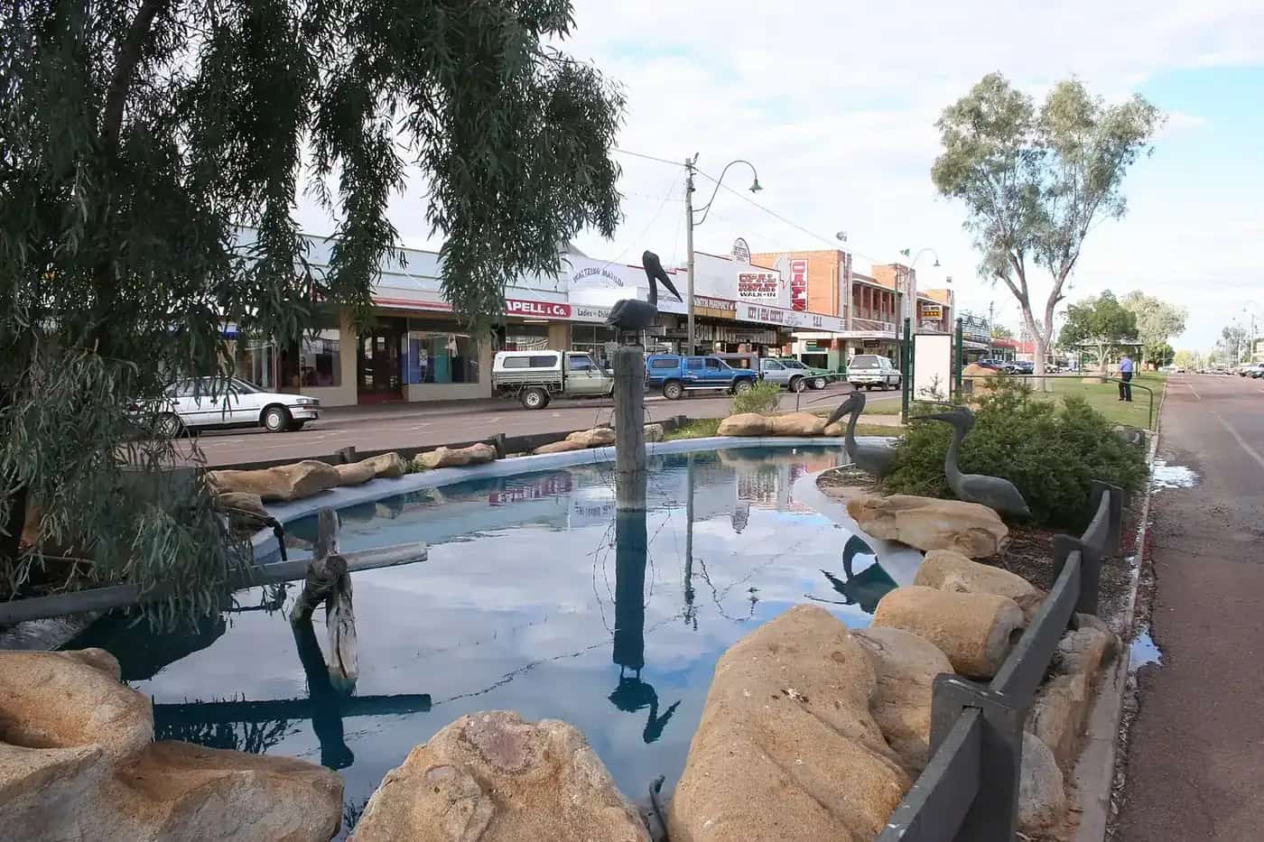
Winton
Winton, Queensland: Australian Age of Dinosaurs, Lark Quarry trackways, the Waltzing Matilda Centre, Royal Open Air Theatre and Bladensburg National Park.
Read · 6 min
Outback Queensland
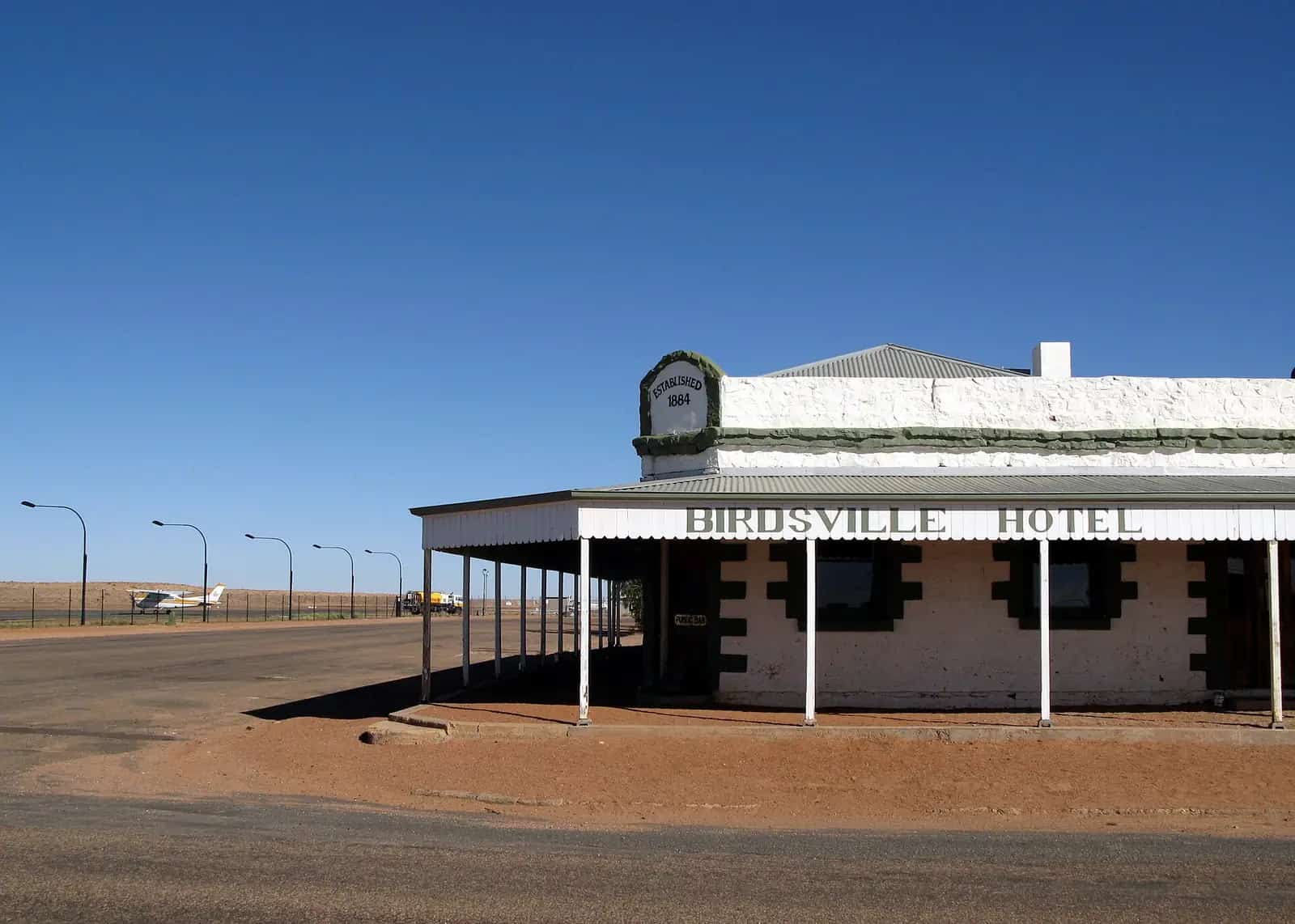
Birdsville
Birdsville, Queensland: why it's famous, the Birdsville Races, the Birdsville Hotel, Big Red dune, the Birdsville Track and road access.
Read · 5 min
Outback Queensland
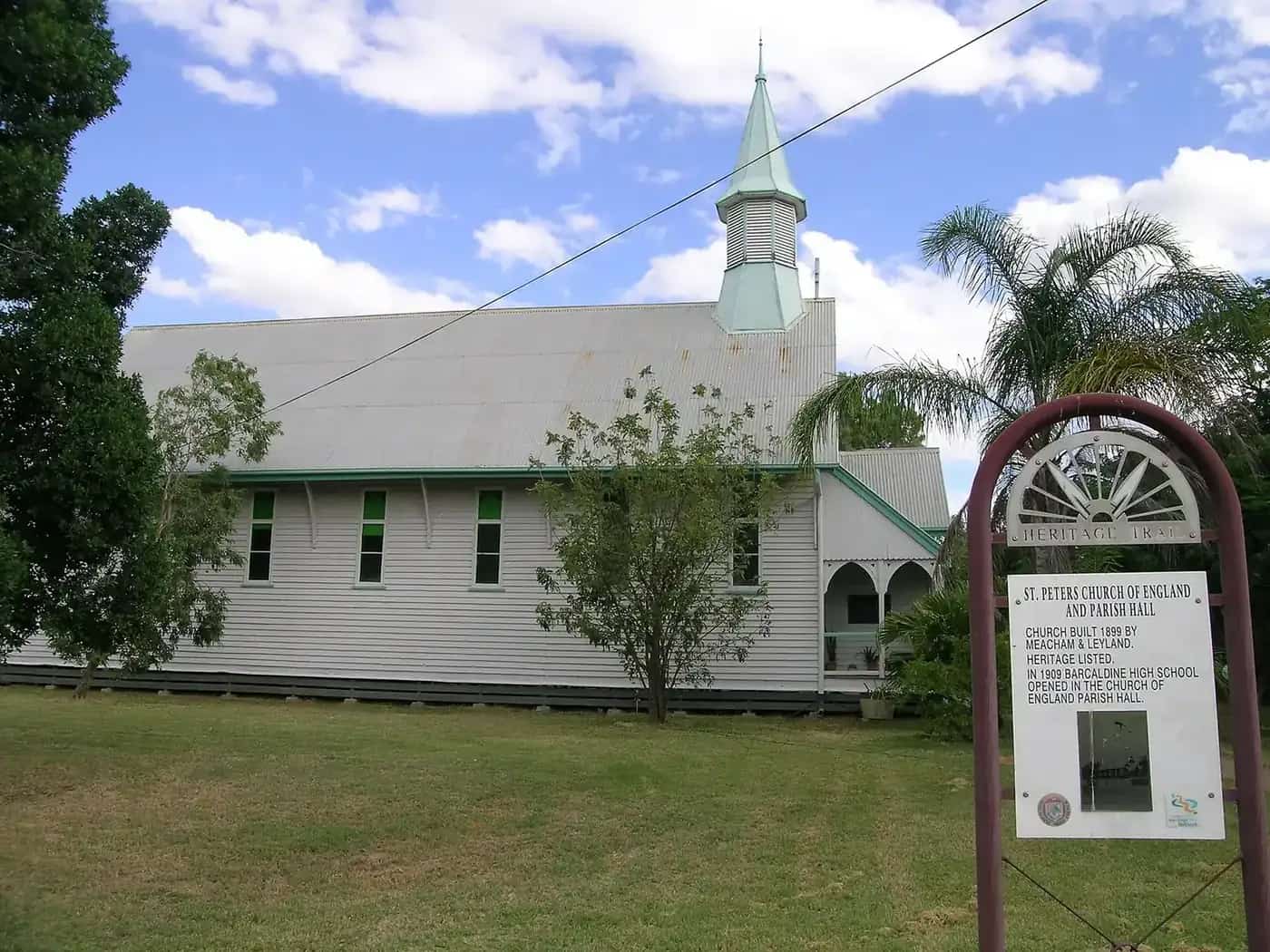
Barcaldine
Barcaldine, Queensland: the Tree of Knowledge memorial, the 1891 shearers' strike, Australian Workers Heritage Centre, historic pubs and caravan parks.
Read · 5 min
Outback Queensland
Boulia
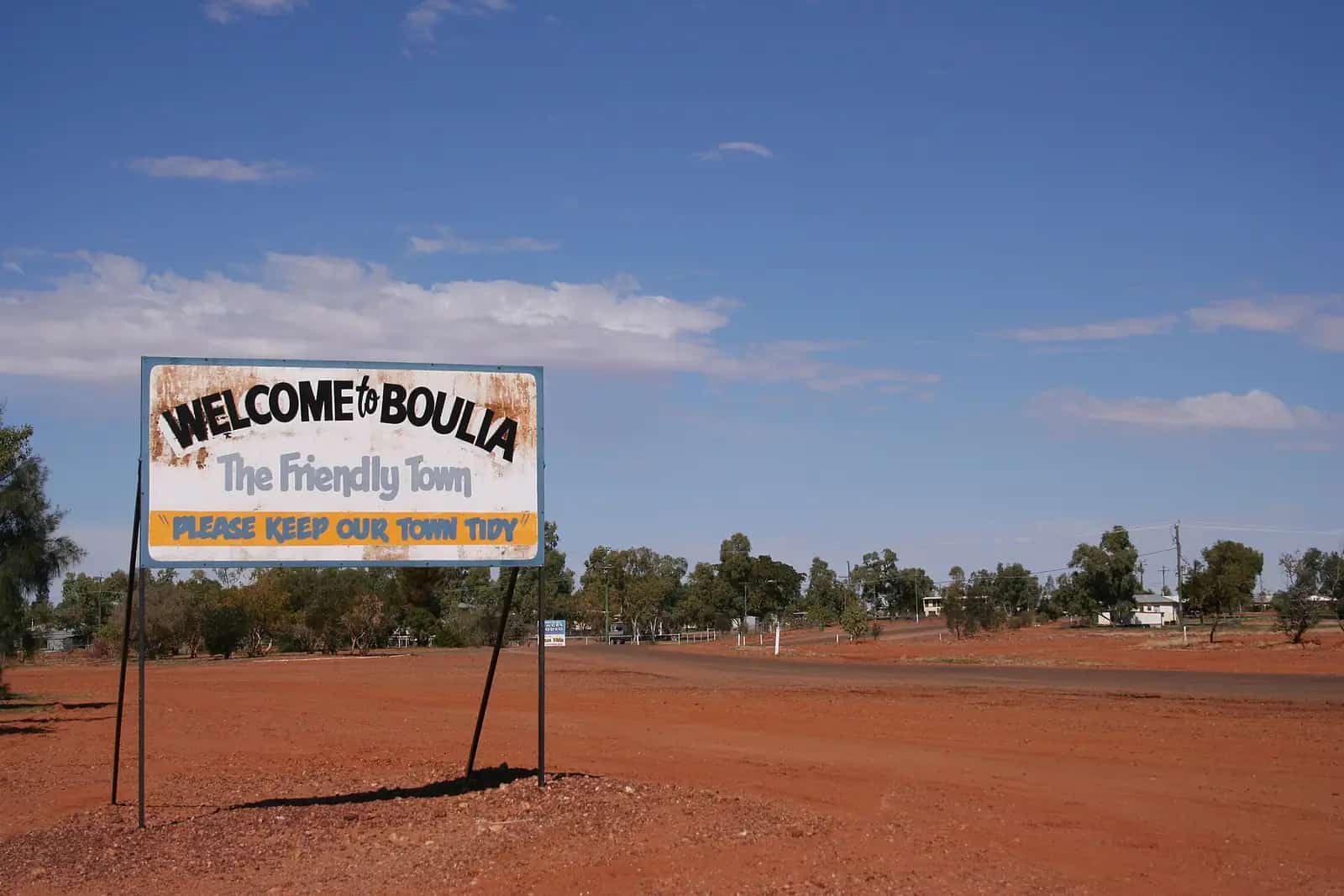
Boulia, Queensland: the Min Min Encounter, the Boulia Camel Races, the Stone House museum, Burke and Wills history and travel tips for the Channel Country.
Read · 5 min
Outback Queensland
Charleville
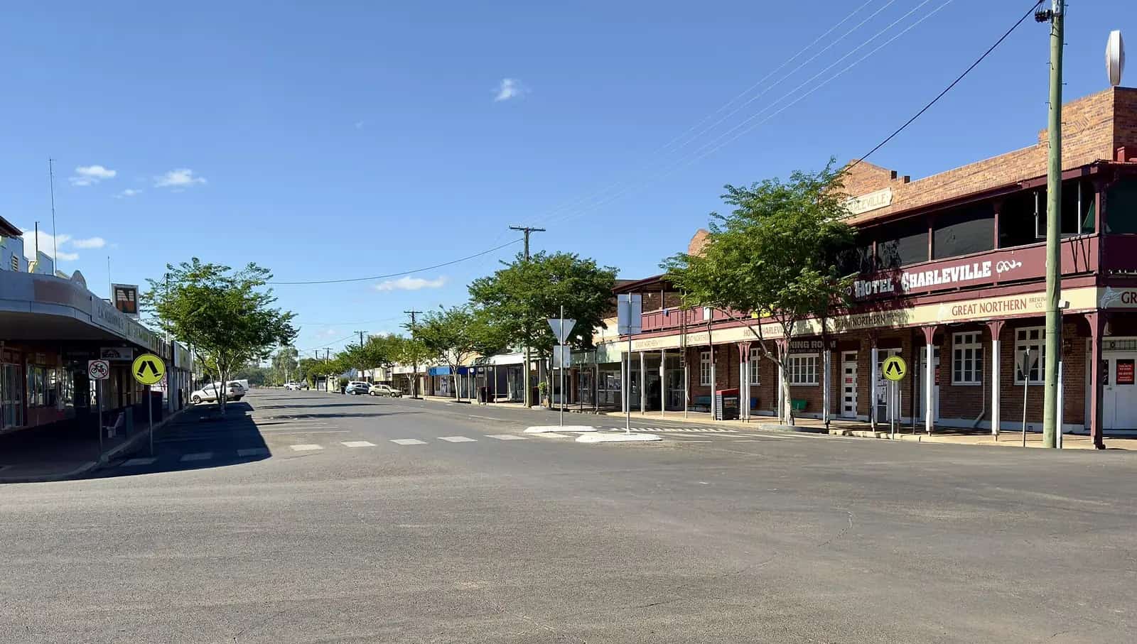
Charleville, Queensland: the bilby experience, Cosmos Centre stargazing, Royal Flying Doctor Service visitor centre, WWII history and the Warrego River.
Read · 5 min
Outback Queensland
Mitchell
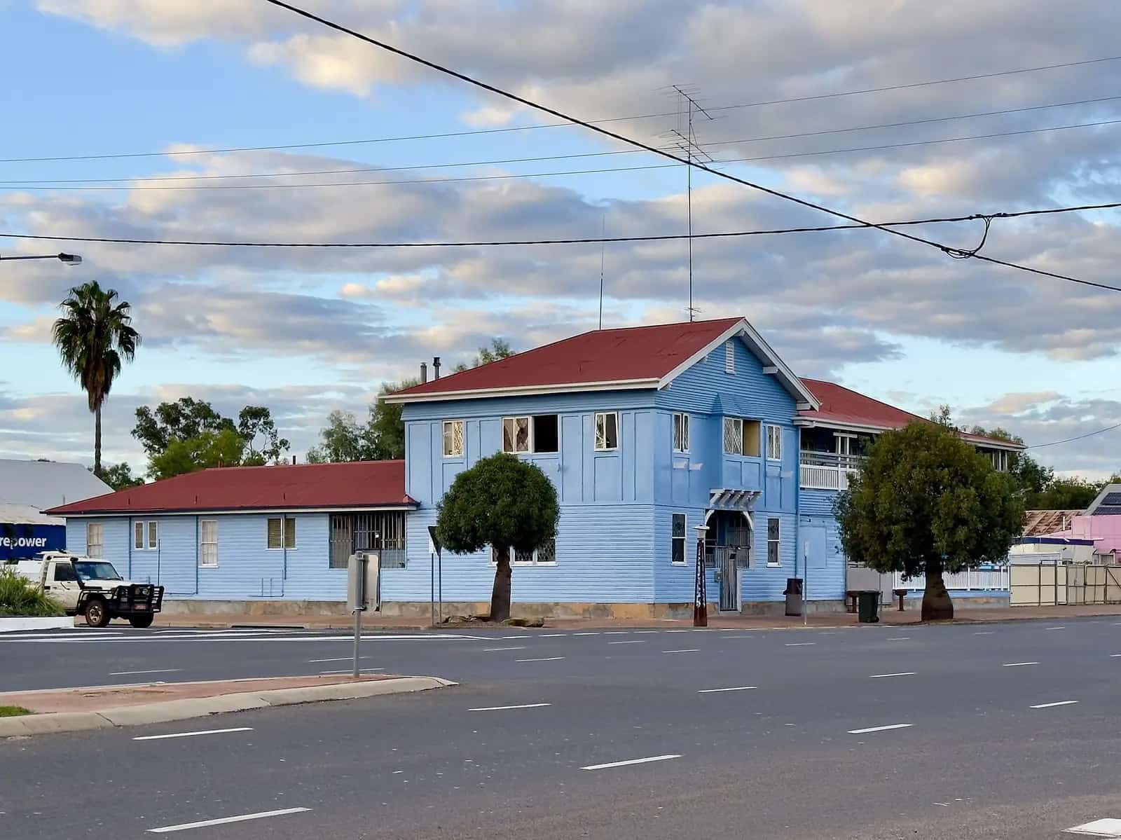
Mitchell, Queensland: soak in the Great Artesian Spa, walk the Maranoa River, learn about the Kenniff brothers and catch the camel races and ute muster.
Read · 5 min
Outback Queensland
Cloncurry
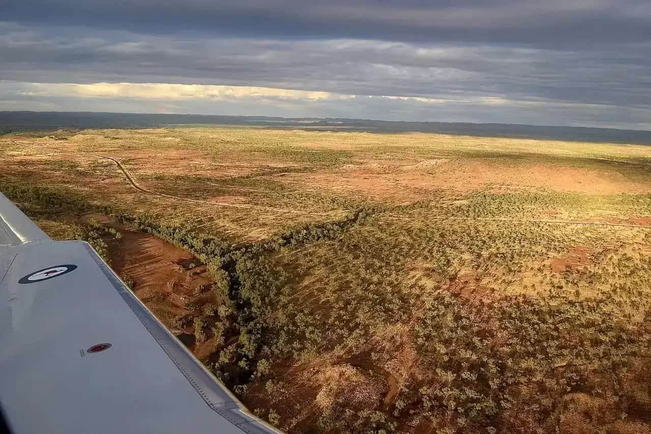
Cloncurry, Queensland: John Flynn Place and the birth of the Flying Doctor, Burke and Wills history, Chinaman Creek Dam and Mary Kathleen.
Read · 6 min
Outback Queensland
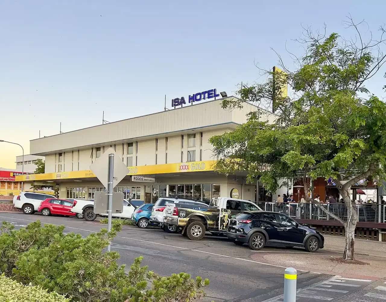
Mount Isa
Mount Isa, Queensland: Outback at Isa, the Hard Times Mine tour, Riversleigh fossils, Lake Moondarra, the Mount Isa Rodeo and getting there by road.
Read · 6 min
Outback Queensland
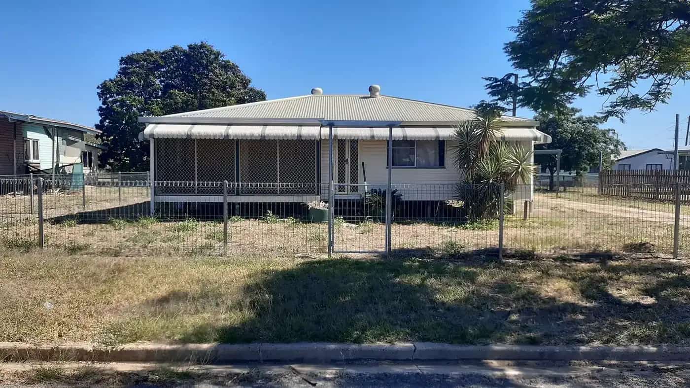
Hughenden
Hughenden, Queensland: the Flinders Discovery Centre and Muttaburrasaurus, Porcupine Gorge National Park, the Flinders River and the dinosaur trail.
Read · 5 min
Outback Queensland
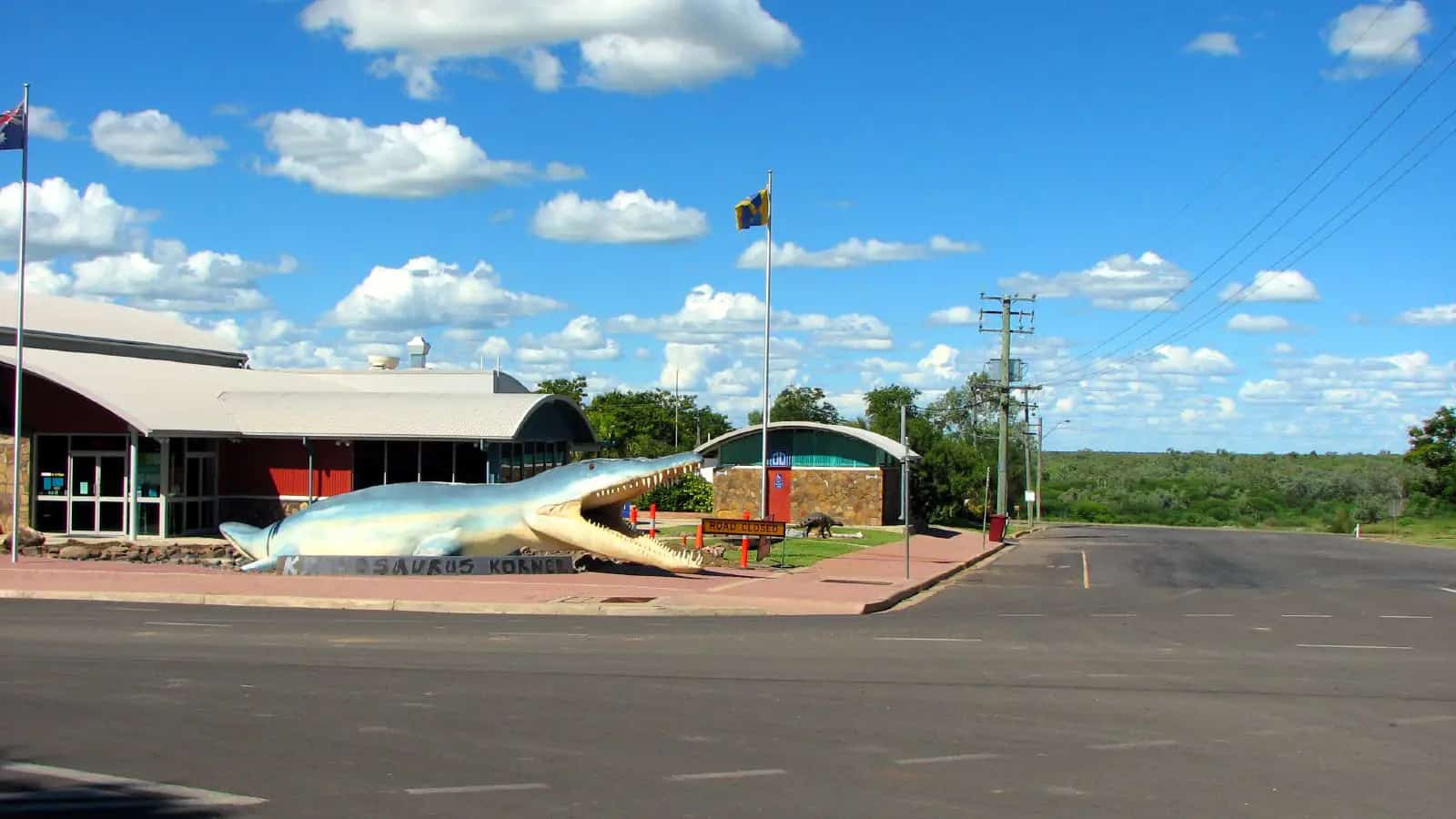
Richmond
Richmond, Queensland: Kronosaurus Korner's marine reptile fossils, fossicking for fossils, Lake Fred Tritton and the Flinders Highway dinosaur trail.
Read · 6 min
Outback Queensland
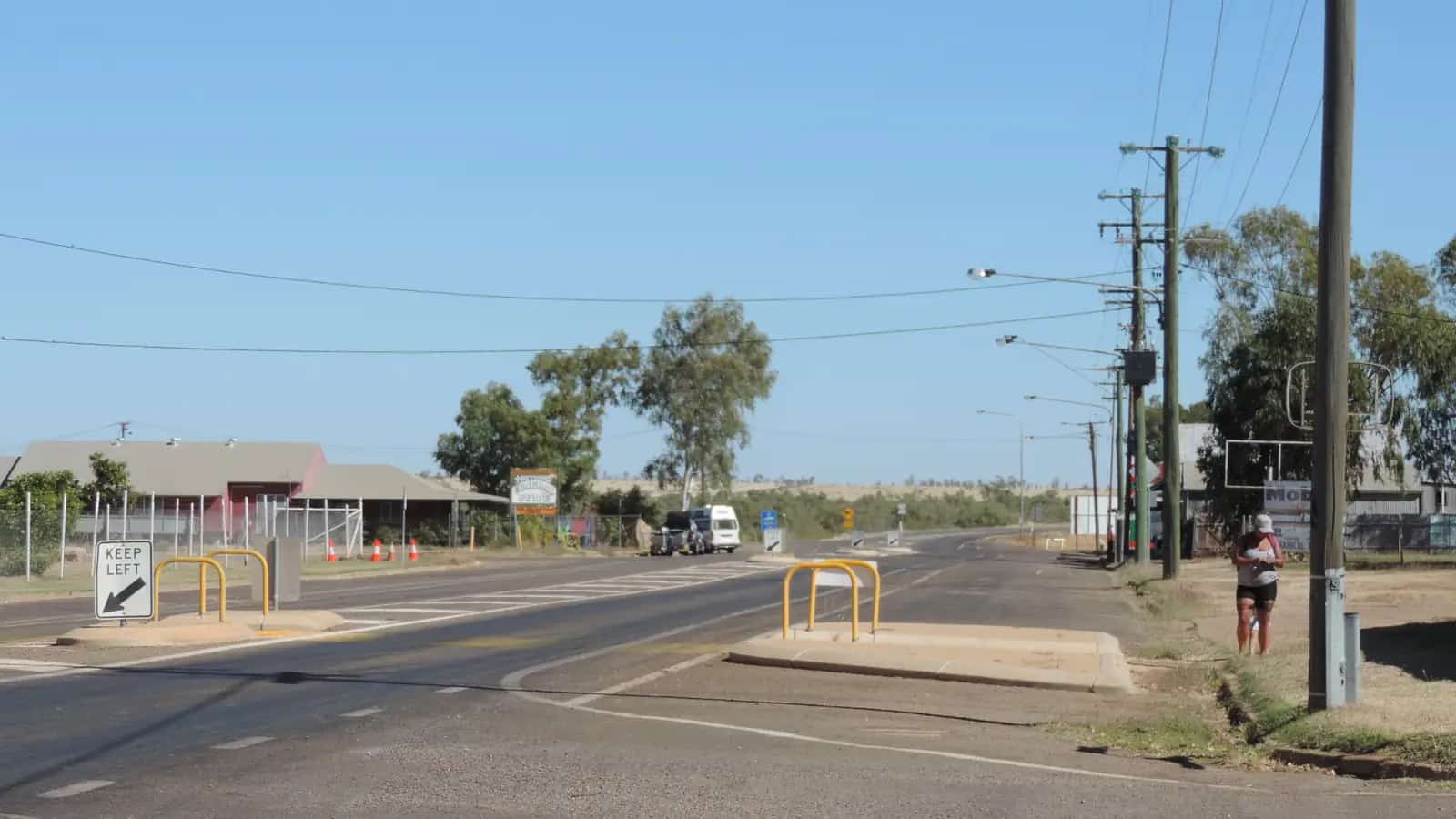
Camooweal
Camooweal, Queensland: the last town before the NT, Camooweal Caves National Park, the Drovers Camp, billabongs and fuel tips for the Barkly Highway.
Read · 5 min
Outback Queensland
Normanton
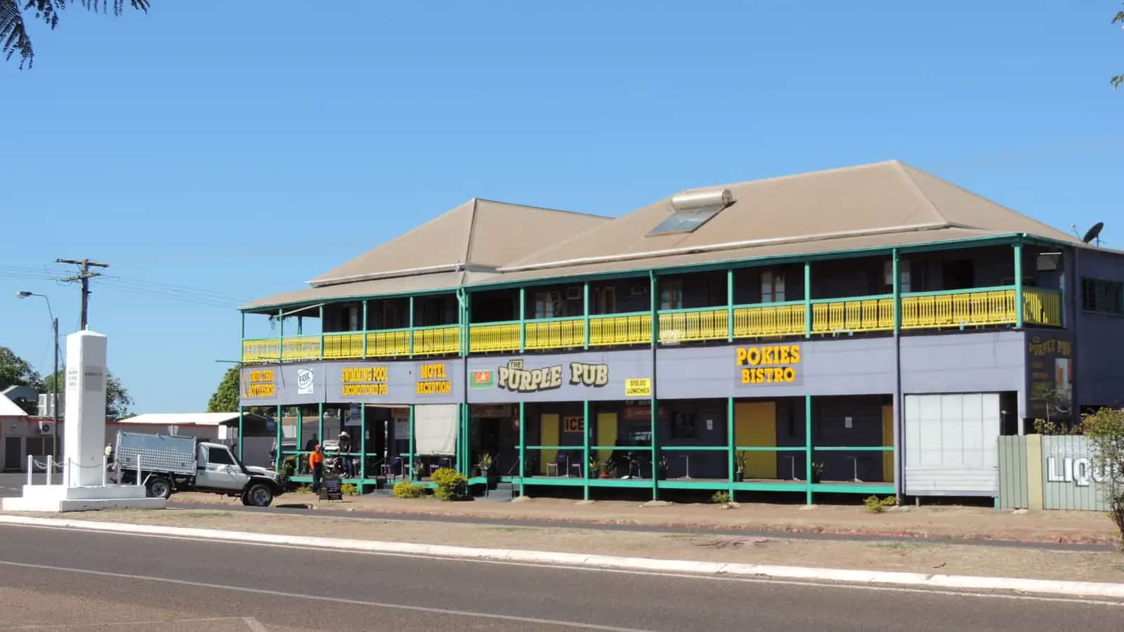
Normanton, Queensland: the Gulflander train to Croydon, Krys the Savannah King crocodile, the Purple Pub, barramundi fishing and Gulf Country travel tips.
Read · 5 min
Outback Queensland
Duaringa
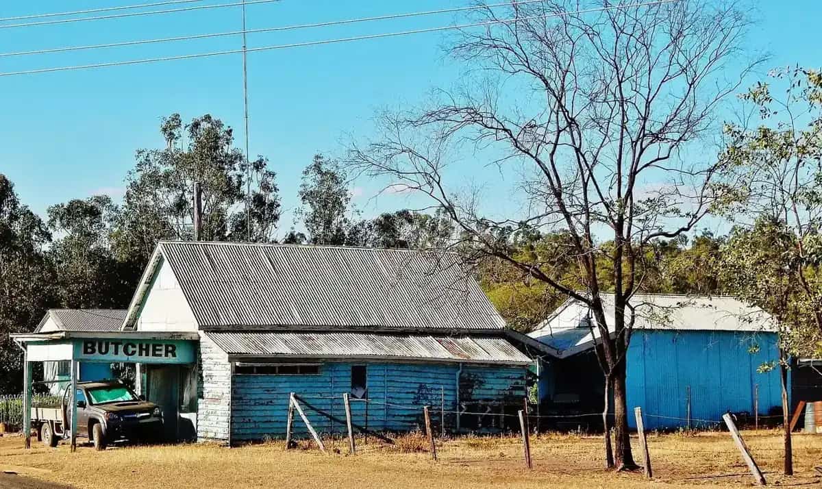
Duaringa, Queensland: Mackenzie Park lagoon, the historic pub and nearby Blackdown Tableland on the Capricorn Highway.
Read · 5 min
Queensland · South West
Thargomindah
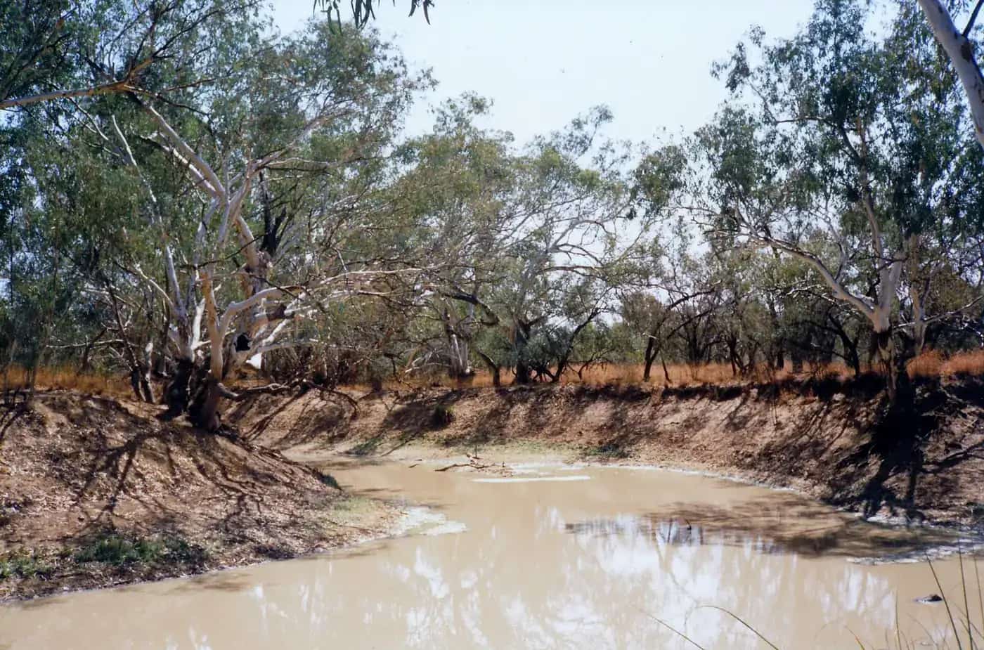
Thargomindah travel guide: the historic hydro-electric plant powered by artesian water, the Bulloo River, Lake Bindegolly and Noccundra.
Read · 5 min
Queensland · South West
Cunnamulla
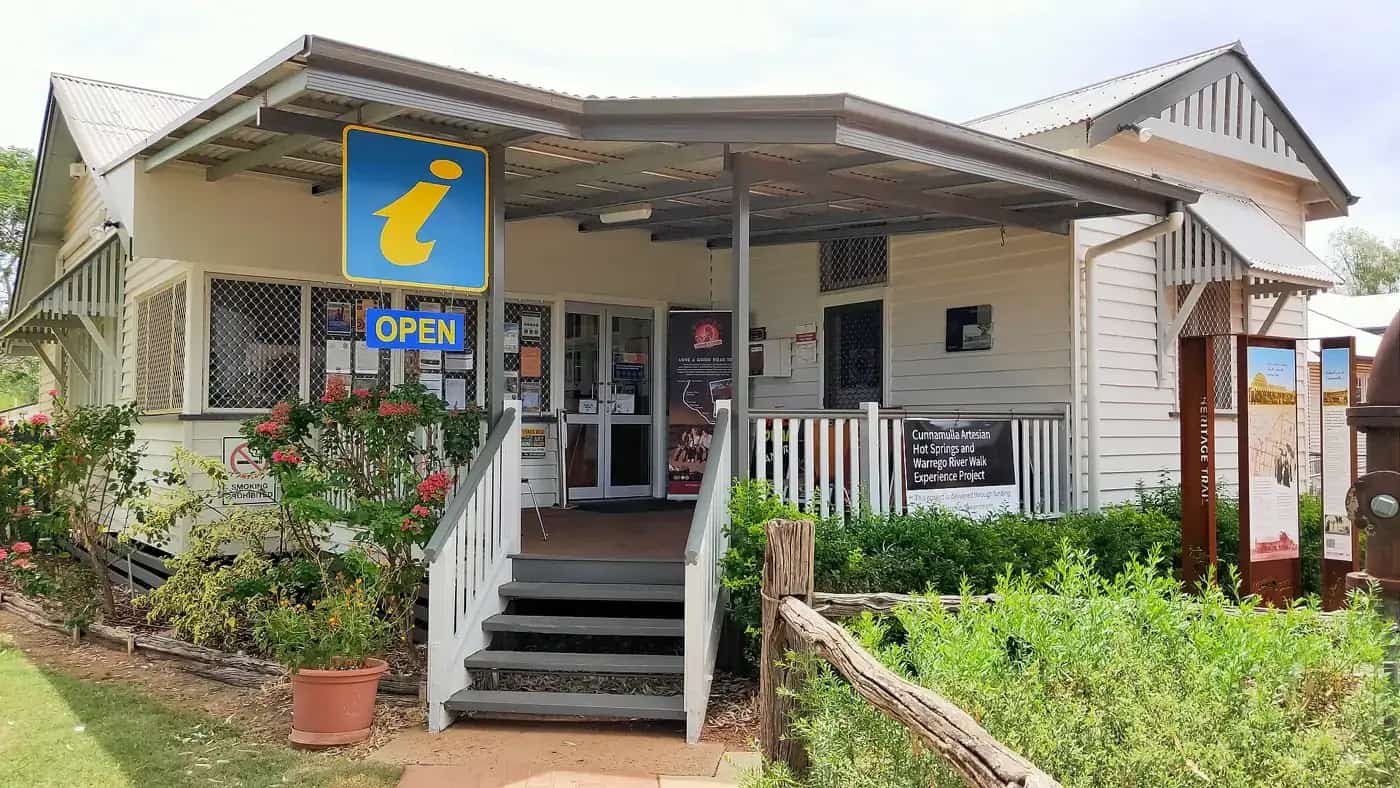
Cunnamulla travel guide: the Cunnamulla Fella statue and centre, the Warrego River, the Robber's Tree, artesian spa and Yowah opal fields.
Read · 5 min
Queensland · Channel Country
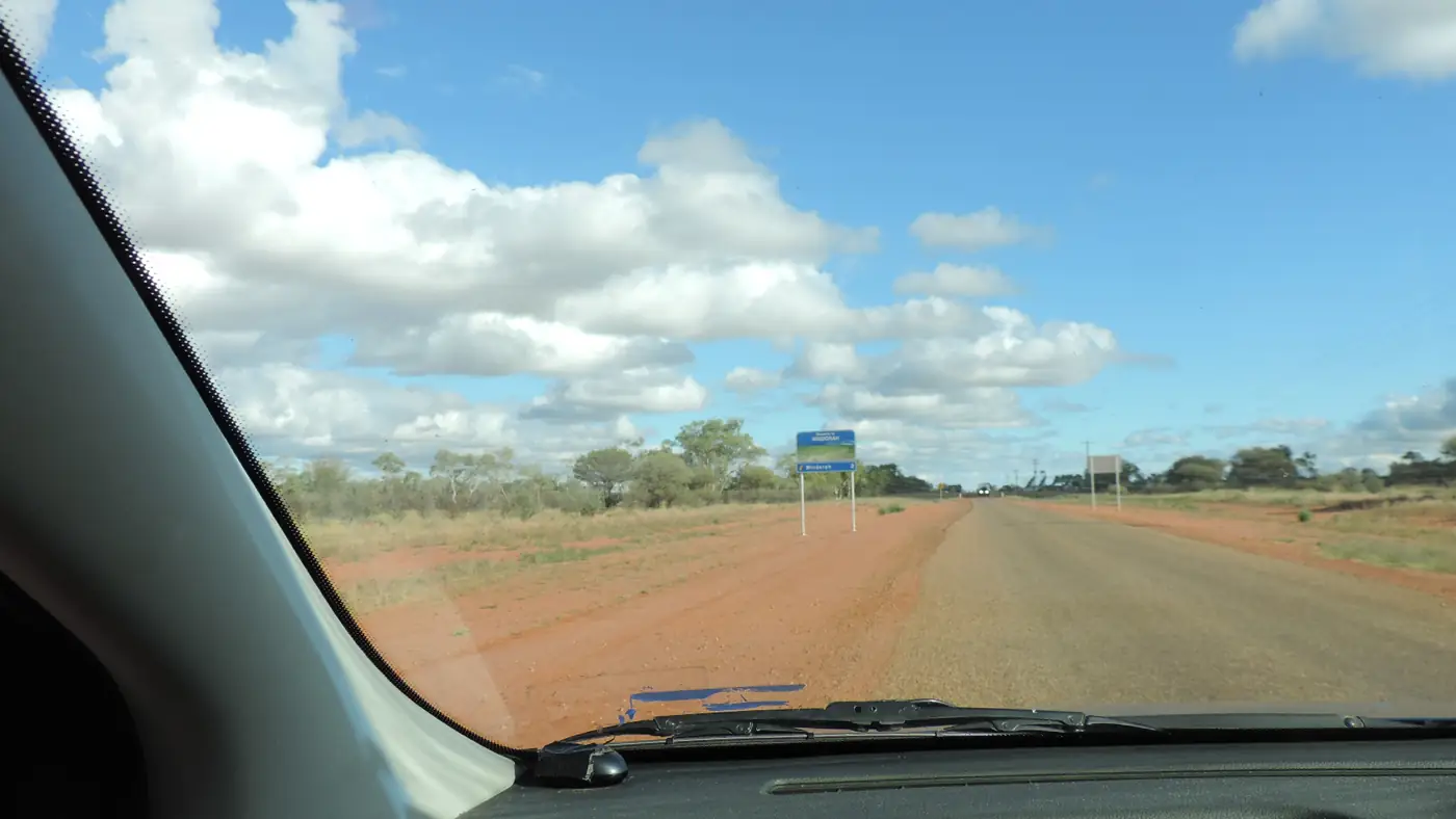
Windorah
Windorah travel guide: Channel Country town near Cooper Creek, the red sandhills, International Yabby Races, solar farm and fishing.
Read · 5 min
Queensland · Maranoa
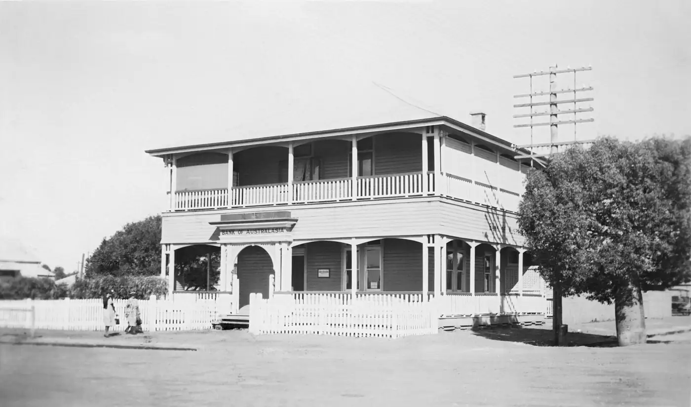
Roma
Roma travel guide: Queensland's first town proclaimed after separation, the Big Rig oil and gas museum, the bottle tree Heroes Avenue and the saleyards.
Read · 5 min
Queensland · Darling Downs
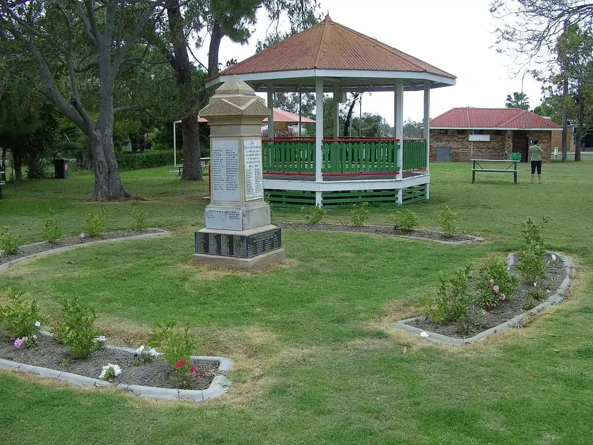
Millmerran
Millmerran travel guide: western Darling Downs farming town, home of the Australian Camp Oven Festival, its murals, history and nearby attractions.
Read · 5 min
Queensland · South West
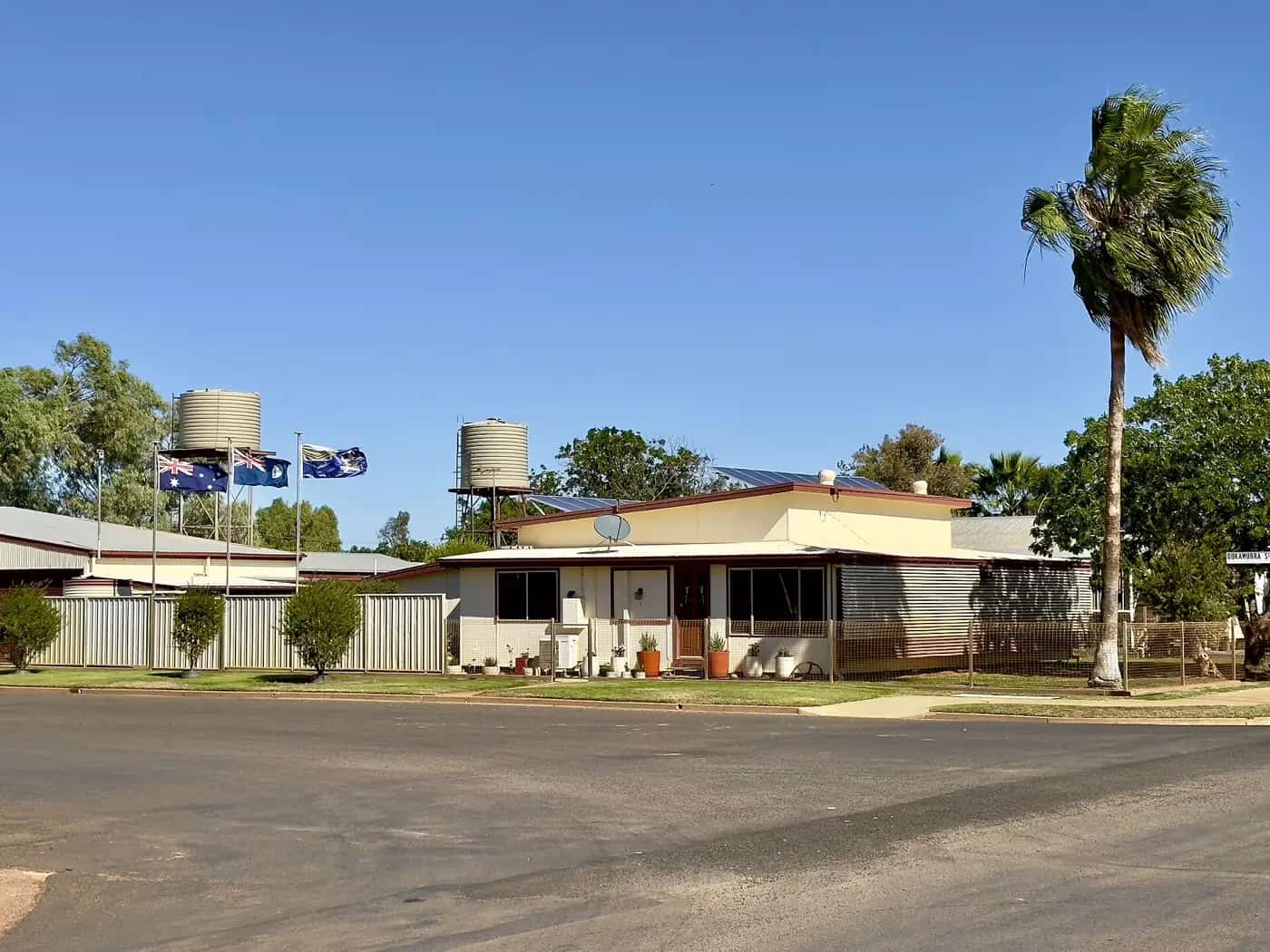
Quilpie
Quilpie travel guide: south-west Queensland's boulder opal town on the Bulloo River, the opal altar, Baldy Top lookout and fossicking.
Read · 5 min
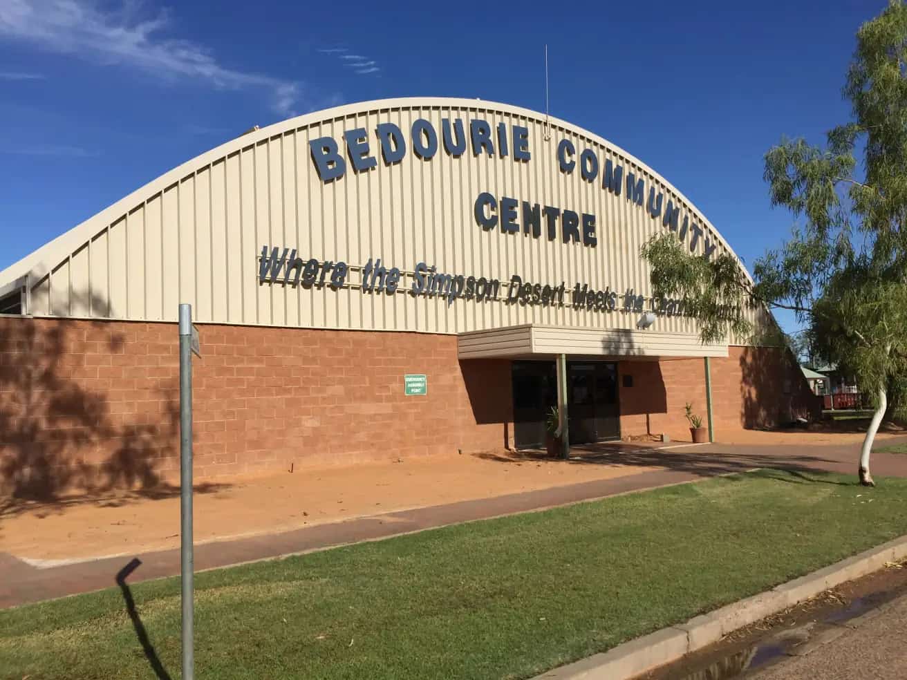
Queensland · Channel Country
Bedourie
Bedourie travel guide: the Diamantina Shire's administrative centre in Channel Country, its artesian spa, mud-brick hotel, camel races and travel tips.
Read · 4 min
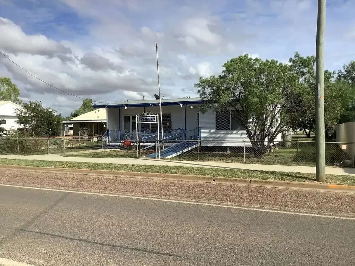
Queensland · North West
Julia Creek
Julia Creek travel guide: the Flinders Highway town known for the Dirt n Dust Festival, the endangered Julia Creek dunnart, artesian baths and travel tips.
Read · 5 min
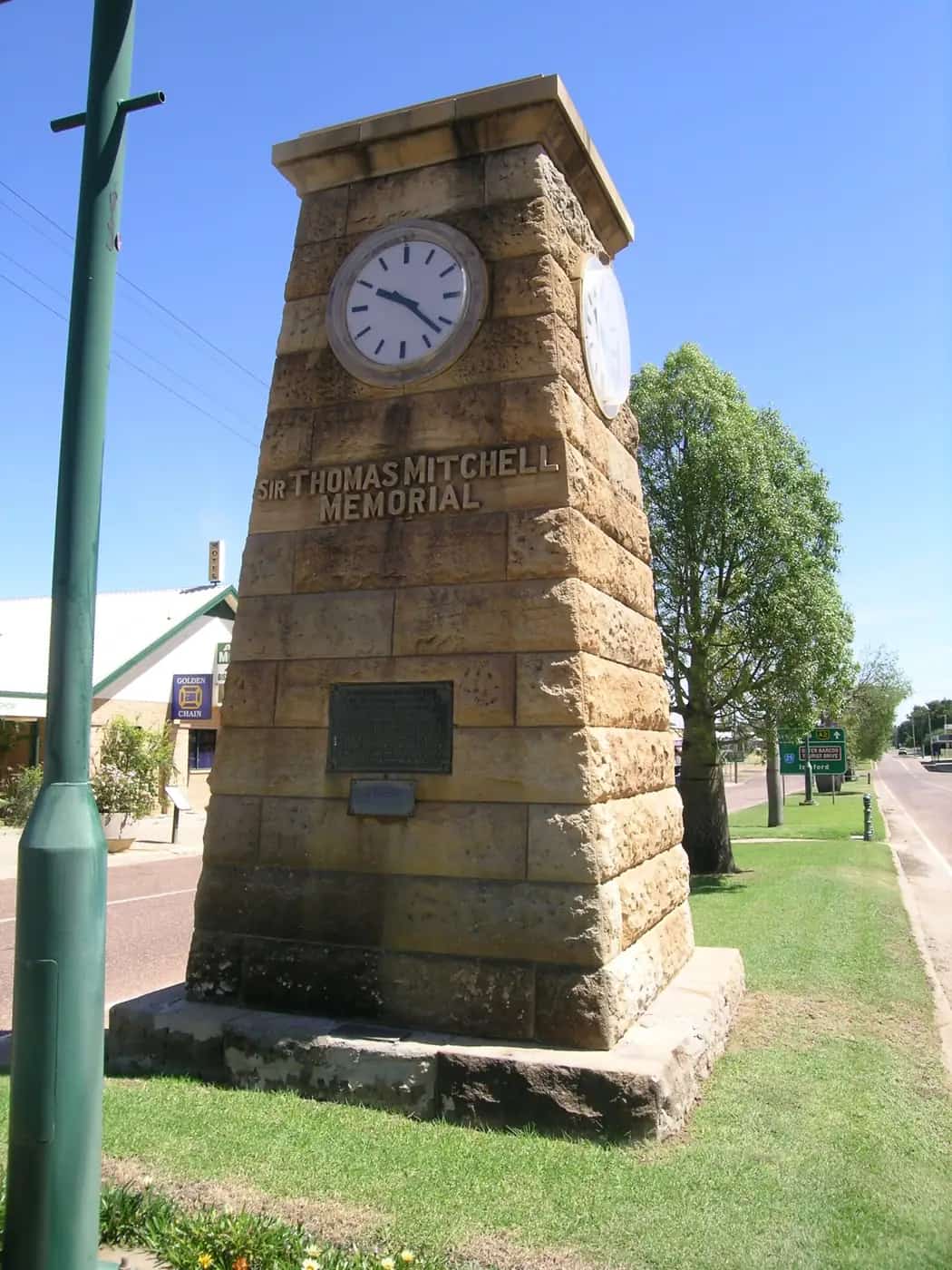
Queensland · Central West
Blackall
Blackall travel guide: the Black Stump, the historic Blackall Woolscour, Jackie Howe's shearing record, the artesian aquatic centre and travel tips.
Read · 5 min
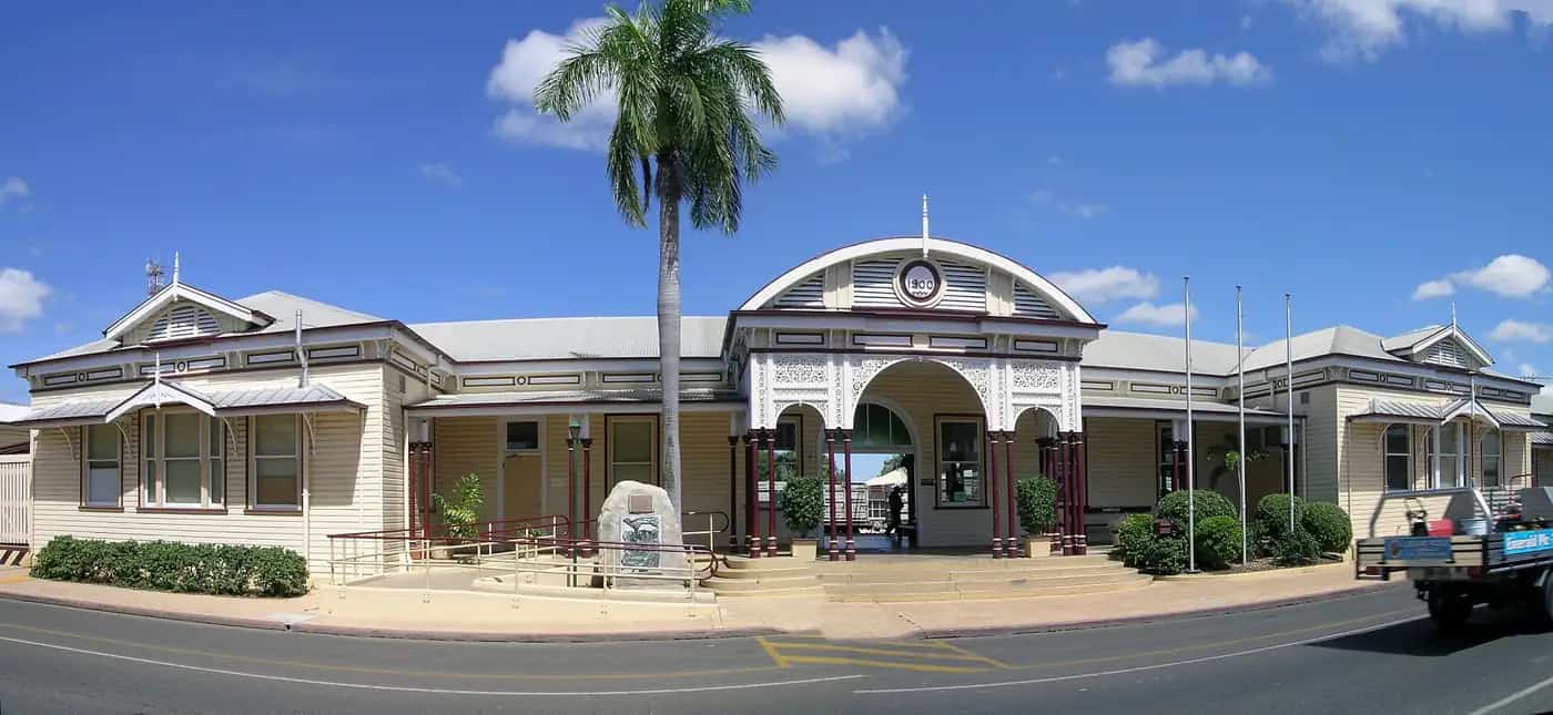
Queensland · Central Highlands
Emerald
Emerald travel guide: the Central Highlands' main town, the Sapphire and Rubyvale gemfields, Lake Maraboon, the Big Easel and travel tips.
Read · 5 min
Queensland · Gulf Country
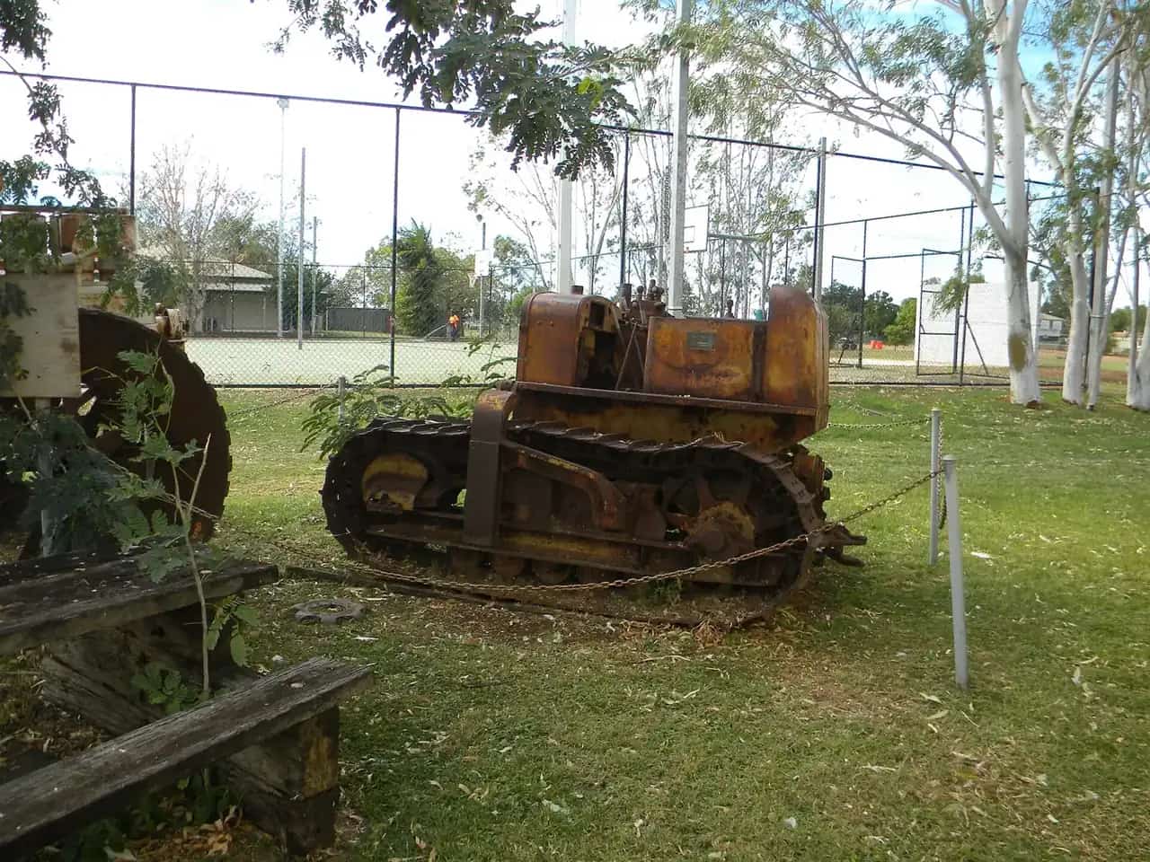
Burketown
Burketown travel guide: the Gulf town known for the Morning Glory cloud, barramundi fishing on the Albert River, the Savannah Way and travel tips.
Read · 5 min
Queensland · Gulf Country
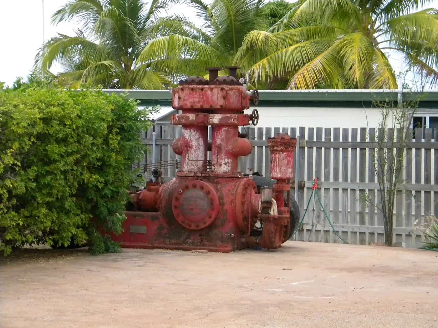
Karumba
Karumba travel guide: the Gulf of Carpentaria fishing town, sunset at Karumba Point, the Barramundi Discovery Centre, prawn trawlers and crocodile safety.
Read · 5 min
Queensland · Gulf Country
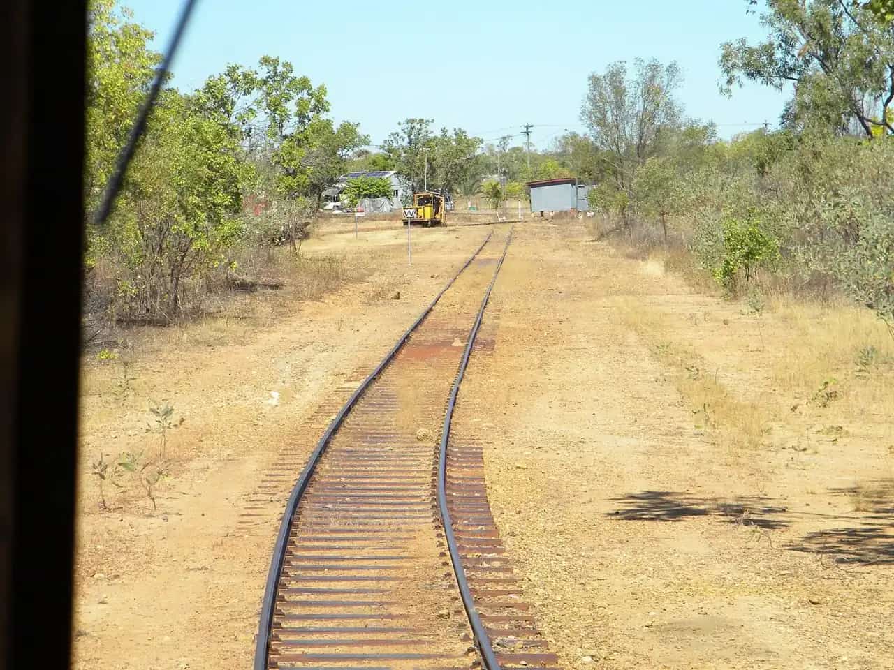
Croydon
Croydon travel guide: the Gulf Country gold rush town, its heritage precinct, the Gulflander rail motor terminus and travel tips.
Read · 5 min
Queensland · South West
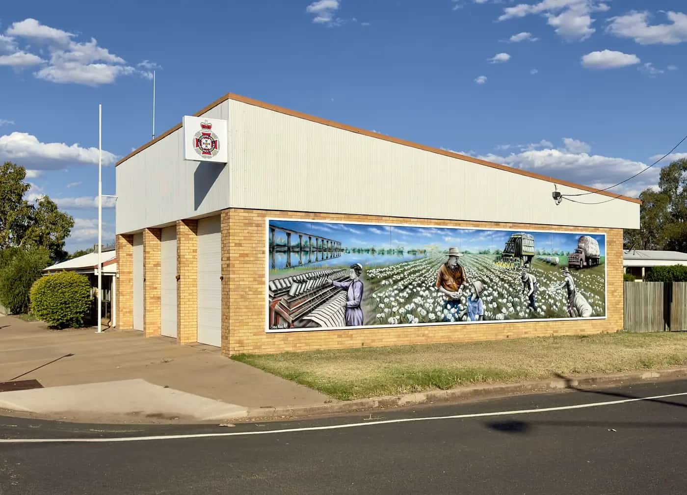
St George
St George travel guide: the Balonne River town at the crossroads of south-west Queensland, its weir, cotton and grape industries, and travel tips.
Read · 5 min
Frequently asked questions
What are the best things to see and do in outback Queensland?
Highlights include the Australian Stockman's Hall of Fame and Qantas Founders Museum in Longreach, the Waltzing Matilda Centre and Australian Age of Dinosaurs in Winton, the Birdsville Races, Charleville's bilbies and Cosmos Centre, the bore baths of the south-west and the Gulflander train at Normanton.
How do you get to outback Queensland?
Drive on sealed highways such as the Warrego, Landsborough (Matilda Way), Capricorn and Flinders; take Queensland Rail's Spirit of the Outback, Westlander or Inlander trains; or fly to regional airports including Longreach, Charleville, Mount Isa and Birdsville.
What is the Matilda Way?
A touring route through outback Queensland, broadly following the Mitchell and Landsborough highways from the NSW border near Hungerford/Barringun north via Cunnamulla, Charleville, Longreach and Winton to Cloncurry and Karumba.
Sources and further reading
Facts on this page were checked against these primary and official sources. Conditions change — confirm before you travel or buy.
- Outback Queensland — Outback Queensland Tourism Association
- QLDTraffic — Queensland Government
- Queensland Rail Travel — outback trains — Queensland Rail