The Plenty Highway is a shortcut between central Australia and western Queensland. From the Stuart Highway north of Alice Springs it runs east past Gemtree, the Harts Range and Jervois to the Queensland border, continuing as the Donohue Highway to Boulia. The route crosses the Country of the Arrernte and Alyawarr peoples.
Highlights
- Gemtree — a caravan park known for fossicking tours for garnets and zircons.
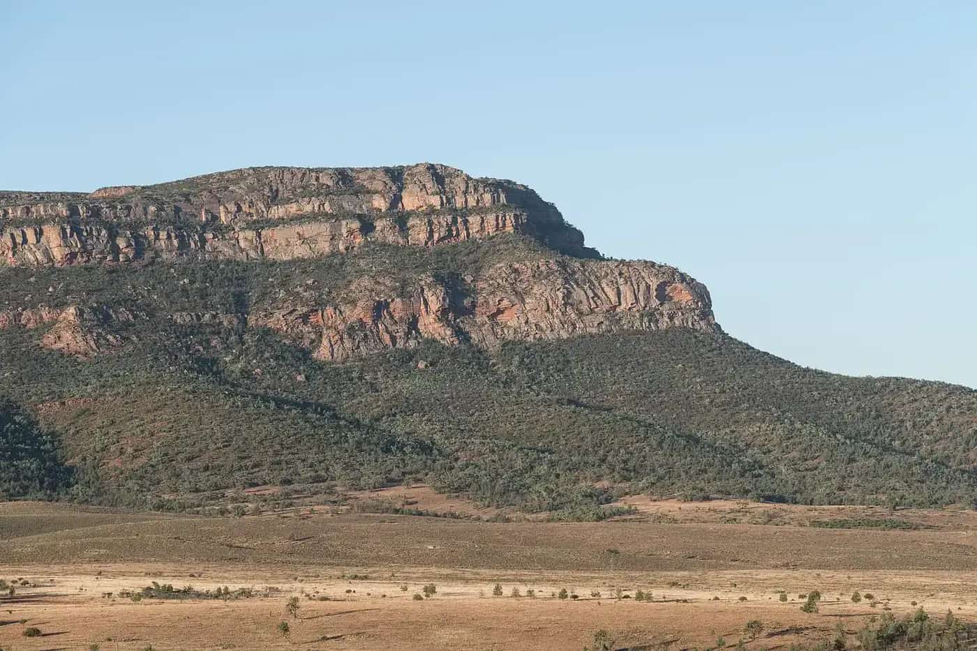
- Harts Range (Atitjere) — rugged ranges and an Aboriginal community; the Harts Range races are held in some years.
- Jervois — a station and former mine site.
- Tobermorey — a station near the Queensland border that has offered fuel and camping.
- Boulia — Min Min light country at the eastern end.
Conditions
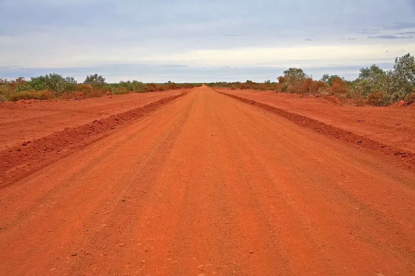
The highway is mostly unsealed, with corrugations, bulldust and floodways. Conditions vary greatly. It is generally passable for high-clearance vehicles in dry weather; a 4WD is recommended. Rain can close it.
Fuel and services
Services are few and far between. Fuel has been available at Gemtree, Atitjere, Jervois and Tobermorey at various times, but availability is not guaranteed. Carry a large reserve.
Best time to go
April to September is best.
Safety
Carry water, spare tyres, a satellite communication device and enough food for extra days. Remember that the NT is on Central Time and Queensland on Eastern Time.
The Outback Way
The Plenty Highway, together with the Donohue Highway in Queensland, forms part of the Outback Way, a route of roughly 2,700 km linking Laverton in Western Australia with Winton in Queensland via Uluru and Alice Springs. Governments are progressively sealing sections, so conditions change from year to year. Check the latest information before you go.
Fossicking at Gemtree
Gemtree, about 140 km from Alice Springs, is known for fossicking for garnets and zircons in the surrounding Harts Range region. Guided tag-along fossicking trips and equipment hire have been offered from the caravan park. A fossicking permit is required in the Northern Territory; check current rules with NT authorities or ask at Gemtree.
Aboriginal communities and art
The highway passes through the Country of Eastern Arrernte, Alyawarr and Anmatyerr peoples, among others. Atitjere (Harts Range) has a community art centre. Communities are private, so do not enter without permission, and follow signs. Respect the guidance in our visiting Country respectfully guide.
Suggested itinerary
Day one. Leave Alice Springs, turn east off the Stuart Highway and drive to Gemtree. Spend the afternoon fossicking and camp overnight.
Day two. Continue east past Harts Range and Jervois, camping at a station or bush camp along the way.
Day three. Cross into Queensland, where the road becomes the Donohue Highway, and continue to Boulia. Watch for the time change at the border.
Vehicle preparation
A high-clearance vehicle is strongly recommended, and a 4WD is the best choice, especially for towing. Carry two spare tyres, a compressor, recovery gear, extra fuel and plenty of water. Reduce tyre pressures on gravel and corrugations, and slow down. Dust from oncoming vehicles and road trains can blind you; pull over and wait if visibility is poor. See our 4WD driving guide.
Camping
Camping options include Gemtree caravan park, stations that have offered camping, and bush camps along the route. Leave no trace and take rubbish with you. Do not camp in creek beds, which can flood quickly.
Wildlife and landscapes
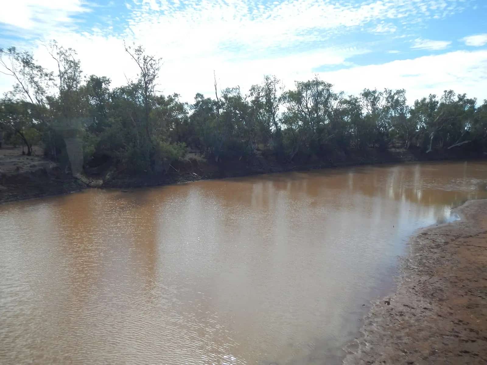
The highway crosses mulga woodland, spinifex plains, rocky ranges and dry river beds lined with river red gums. Look for red kangaroos, emus, wedge-tailed eagles, bustards and, after rain, flocks of budgerigars. Cattle are common on unfenced sections, so slow down when you see stock near the road and avoid driving at dawn, dusk and night. Watch for wandering camels too, as feral camels are found in this part of Central Australia.
Combining with other routes
From Boulia, continue east to Winton and Longreach, or north to Mount Isa. In the west, the Plenty Highway starts near Alice Springs, so it links neatly with the West MacDonnell Ranges and Uluru.
Communications
Mobile coverage is limited along the Plenty Highway, mostly to communities and roadhouses. Carry a satellite device and a registered personal locator beacon for the long stretches between services. A UHF radio is useful for talking to other road users and road trains.
Leave no trace
Take all rubbish with you to the next town or roadhouse. Use toilets where they're provided, or bury waste well away from water and campsites. Stay on formed roads and tracks.
Photography
The red plains, termite mounds and big skies of the Plenty country photograph well in the soft light of morning and evening. Pull well off the road when stopping, and watch for road trains.
Dust and overtaking
Dust from vehicles in front, especially road trains, can cut visibility to almost nothing. Turn your headlights on, drop back until the dust clears, and only overtake where you can see well ahead. When a road train comes towards you, slow down and move as far left as is safe. Use UHF radio to coordinate with truck drivers where possible.
Related guides
The Plenty Highway forms part of the Outback Way from Laverton to Winton.
Frequently asked questions
How long does it take to drive the Plenty Highway?
Most travellers allow two to three days between the Stuart Highway and Boulia, stopping at Gemtree and other points along the way.
Is the Plenty Highway sealed?
Only partly. Sections near the Stuart Highway end have been sealed, and sealing continues as part of the Outback Way project, but long stretches remain unsealed gravel and can be corrugated or closed after rain.
Is the Plenty Highway sealed?
Only partly. Sealed sections near the Stuart Highway give way to long stretches of gravel, which can be badly corrugated and close after rain. Check the NT Road Report and QLDTraffic.
Where can I fossick on the Plenty Highway?
Gemtree, about 140 km from Alice Springs, is known for fossicking for garnets and zircons. In the NT, fossicking requires a permit or must be done in designated areas — ask at Gemtree.
Sources and further reading
Facts on this page were checked against these primary and official sources. Conditions change — confirm before you travel or buy.
- Outback Way — Outback Way
- NT Road Report — Northern Territory Government
- QLDTraffic — Queensland Government
- Plenty Highway (Wikipedia) — Wikipedia