This guide brings together the practical planning that underpins every trip on Outback Now. Read it alongside our outback safety guide.
Fuel
- Know your range. Work out your vehicle's real-world range, which is lower when towing, on sand or corrugations, or with a loaded roof rack.
- Plan stops. Identify reliable fuel stops and their opening hours. Remote roadhouses and stations may close on some days or run out.
- Carry a reserve. Approved jerry cans, carried safely, provide a margin.
- Fuel types. Low-aromatic fuel is supplied in some remote areas of the NT, WA and SA to reduce petrol sniffing; most modern vehicles can use it.
- Fuel prices. Remote fuel is more expensive; budget accordingly.
Road conditions
Outback roads change quickly. Check the official source on the day you travel, and again at each town:
- SA: DIT outback road warnings.
- Qld: QLDTraffic and shire road reports.
- NSW: Live Traffic NSW and shire road reports.
- NT: NT Road Report.
- WA: Main Roads WA travel map and shire road reports.
Closed means closed — fines apply in several states for driving on closed roads.
Permits and passes
- National parks: many parks charge entry or camping fees. Book campsites through the relevant state parks service.
- SA Desert Parks Pass: required for several remote desert parks.
- Aboriginal land in the NT: permits are issued by the Central Land Council, Northern Land Council and others.
- Aboriginal land in WA and SA: permits are needed for many areas, including the Anangu Pitjantjatjara Yankunytjatjara (APY) Lands in SA and parts of WA's deserts. Check requirements well in advance.
- Fossicking: most states require a fossicking licence or permit.
Communications
Mobile coverage is limited outside towns. Carry a satellite phone, satellite messenger or PLB, and know how to use it.
Planning fuel in practice
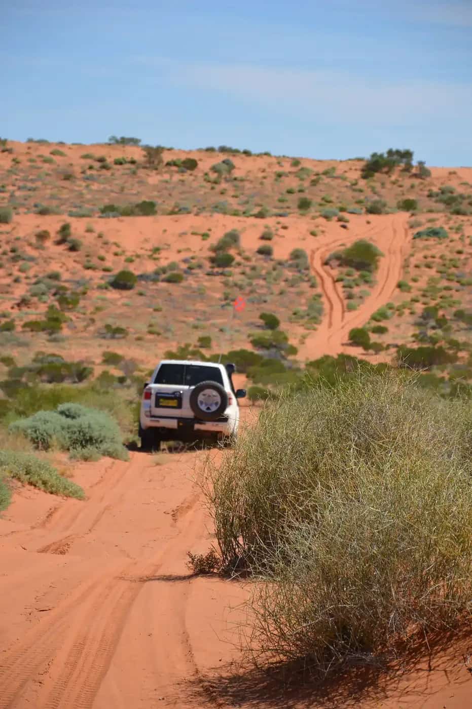
On remote routes, plan fuel as a series of legs between reliable stops. For each leg, compare the distance with your realistic range and add a generous margin — many experienced travellers aim to arrive with at least a quarter of a tank or more. Conditions that increase fuel use include sand, mud, strong headwinds, towing, heavy loads, roof racks, air conditioning and low-range driving.
Roadhouses and station fuel outlets in remote areas may have limited opening hours, close on public holidays or run out during busy periods and events. Ring ahead if you are relying on a single outlet. Some remote outlets only sell diesel or only offer card payments when their systems are working, so carry some cash as a backup.
When carrying spare fuel, use approved jerry cans, secure them so they can't move, and keep them away from passengers. Petrol should not be carried inside the passenger compartment.
Understanding road reports
Road report terminology varies by state, but common categories include:
- Open — open to all traffic, but conditions may still be rough.
- Caution / Open with care — hazards such as water over the road, washouts, potholes or bulldust.
- 4WD only / High clearance only — conventional vehicles should not attempt it.
- Closed — no vehicles allowed. Closures protect roads and drivers, and heavy fines can apply.
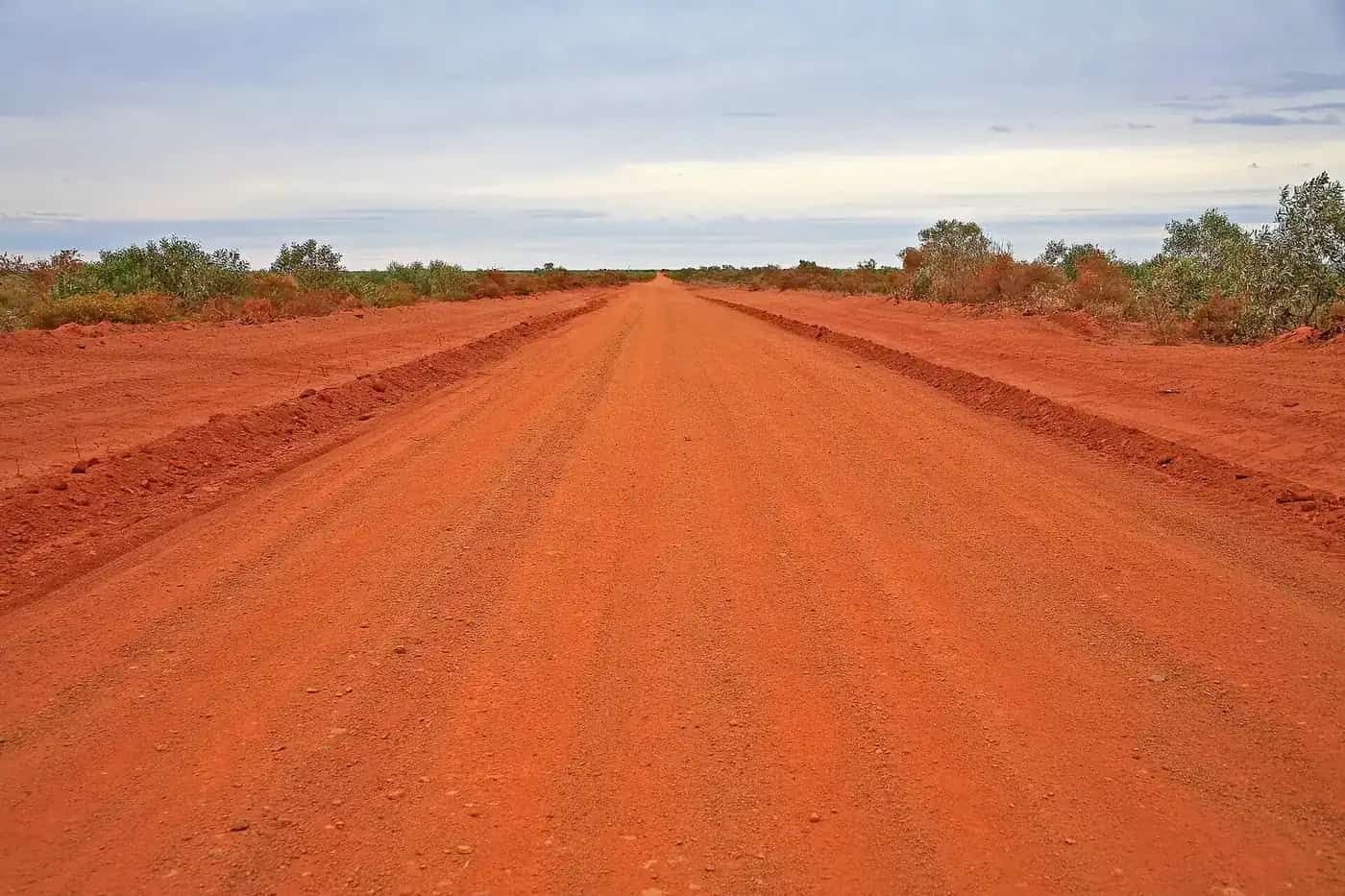
Unsealed roads often close after rain and may take days to reopen. Check reports on the day you travel and again at each town, and talk to locals — police stations, roadhouses and visitor centres often know the latest conditions.
Quarantine and biosecurity
States restrict the movement of some fruit, vegetables, plants and honey to protect agriculture from pests such as fruit fly. Western Australia has quarantine checkpoints for travellers entering from the east, including on the Victoria Highway near Kununurra and on the Eyre Highway at Eucla. South Australia has fruit fly restrictions at entry points on some highways. Check the relevant state biosecurity website before travelling, and plan meals so you aren't carrying restricted items when you cross.
Fossicking rules in more detail
Fossicking for gems, gold and fossils is a popular outback activity, but the rules differ by state. Queensland requires a fossicking licence, available online from the state government, and fossicking is only permitted in designated areas or with landholder permission. Western Australia requires a miner's right for prospecting and fossicking. South Australia regulates opal fields with precious stones prospecting permits and has designated public noodling areas in Coober Pedy and Andamooka. In NSW and the NT, rules vary by location. Always check with the state mining or resources department and get landholder permission before entering private land.
Remote travel essentials
Alongside fuel and permits, carry enough water for at least several days beyond your plans, spare tyres, a first-aid kit and a means of emergency communication. Leave a trip plan with someone reliable and agree a time when they should raise the alarm if they haven't heard from you. Our remote-area travel safety guide explains trip plans, PLBs and satellite devices.
Weather
Check the Bureau of Meteorology forecasts and warnings before setting out, especially for heat, storms, flooding and fire danger. Rain hundreds of kilometres away can flood creeks and close roads days later in the Channel Country and the Lake Eyre Basin.
Fire danger
Check the fire danger rating for the districts you are travelling through each day, using the relevant state fire service. On days of high fire danger, avoid travel through bushland where possible and know where you would shelter. Total fire bans mean no open fires and may restrict other activities.
Related guides
Further reading
Frequently asked questions
How much fuel should I carry?
Plan for the longest distance between reliable fuel stops, plus a reserve — many travellers allow 20 to 30 percent extra for headwinds, sand and detours. Fuel consumption rises on corrugated and sandy roads and when towing.
Do I need a permit to drive through Aboriginal land?
Often, yes. In the NT, permits for Aboriginal land are issued by the land councils; in WA and SA, access to Aboriginal lands is managed by the relevant authorities and Aboriginal organisations. Main highways through Aboriginal land usually do not need a permit, but leaving them may.
What is the SA Desert Parks Pass?
A pass for visiting and camping in several remote South Australian desert parks, including Witjira, Munga-Thirri–Simpson Desert and Kati Thanda–Lake Eyre. Check National Parks and Wildlife Service SA for current options.
Sources and further reading
Facts on this page were checked against these primary and official sources. Conditions change — confirm before you travel or buy.
- Outback road warnings — Government of South Australia
- QLDTraffic — Queensland Government
- Live Traffic NSW — Transport for NSW
- NT Road Report — Northern Territory Government
- Main Roads WA travel map — Main Roads Western Australia
- Central Land Council permits — Central Land Council
- Northern Land Council permits — Northern Land Council
- National Parks and Wildlife Service SA — Government of South Australia