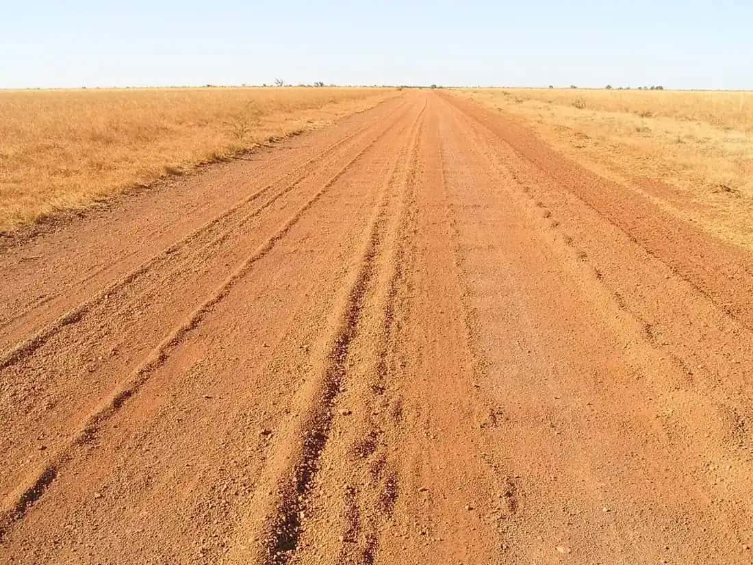
The Gulf Country takes in the low-lying land around the southern and western shores of the Gulf of Carpentaria. Most visitors experience the Queensland side, the Gulf Savannah, which stretches from the Gulf coast inland towards Croydon, Georgetown and the Mount Isa region. The Northern Territory side, around Borroloola, is even more sparsely populated. This is a tropical region with a strong wet and dry season, huge tidal rivers, mangroves, salt pans and savanna woodland.
Towns
- Normanton: the Carpentaria Shire centre. It's known for the Purple Pub, the replica of Krys the Savannah King crocodile, and the Gulflander train to Croydon.
- Karumba: at the mouth of the Norman River, and about 70 km by sealed road from Normanton. It's famous for fishing, prawning and sunsets over the water. The Barramundi Discovery Centre explains the life cycle of the barramundi.
- Burketown: on the Albert River, near the Gulf coast. It's best known for the Morning Glory roll clouds.
- Croydon: a historic gold rush town with a heritage precinct, and the eastern end of the Gulflander line.
- Doomadgee, Gregory and Borroloola: smaller communities further west, along the Savannah Way and the rivers. Some community land needs a permit, so check before you visit.
Highlights
The Gulflander
The Gulflander is a historic rail motor that runs on the Normanton–Croydon line, which was never connected to the rest of Queensland's rail network. Check current timetables, because services are limited and seasonal.
The Morning Glory
The Morning Glory is a rare roll cloud that can stretch from horizon to horizon. It's most often seen in the early morning between about September and November, and Burketown is the best-known place to see it. It isn't guaranteed on any given day.
Fishing
The Gulf is renowned for barramundi, threadfin salmon, mud crabs and other species. Queensland has size and bag limits, and a closed season for barramundi in Gulf waters. Check the current rules with Fisheries Queensland before you fish, and stay well back from the water's edge.
Boodjamulla (Lawn Hill) and Riversleigh
South-west of Burketown, Boodjamulla National Park protects the spring-fed Lawn Hill Gorge. The nearby Riversleigh fossil fields are part of the Australian Fossil Mammal Sites World Heritage area. See the Boodjamulla guide.
Wetlands and birdlife
After the wet, the Gulf's wetlands and salt pans attract huge numbers of waterbirds, including brolgas and migratory shorebirds. See birdwatching.
Undara and the eastern Gulf Savannah
On the eastern edge of the Gulf Savannah, Undara Volcanic National Park protects lava tubes formed by an ancient volcanic eruption. Access to the tubes is by guided tour. Nearby Georgetown and the gemfields around it add fossicking to a trip along the Savannah Way.
History
The Gulf has a long Aboriginal history, and many groups still live on and care for Country around the Gulf's rivers and islands. European exploration came by sea and by land. Burke and Wills' expedition reached the tidal channels of the Gulf near present-day Normanton in 1861, and the site of their northernmost camp is marked near the town. See Burke and Wills. In the late nineteenth century, Normanton grew as a port and Croydon boomed with a gold rush, which led to the Normanton–Croydon railway. Cattle stations still dominate the land today.
Camping and accommodation
Towns such as Karumba, Normanton and Burketown have caravan parks, motels and hotels, but they fill up in the peak of the dry season, when fishing is popular. Book ahead, especially in winter. Bush camping is possible in some areas, but much of the land is pastoral lease or Aboriginal land. Ask permission or use designated sites, and follow local fire rules. See our outback camping guide.
Weather: the wet and the dry
Bureau of Meteorology long-term averages for Normanton Airport:
| Month | Mean max (°C) | Mean rain (mm) |
|---|---|---|
| January | 34.0 | 258.0 |
| April | 34.3 | 32.2 |
| July | 29.9 | 3.5 |
| October | 36.9 | 6.8 |
| November | 37.0 | 44.9 |
Source: BOM climate statistics for Normanton Airport (029063), about 25 years of records. Annual mean rainfall is about 845 mm, falling almost entirely in the wet season.
The dry season, roughly May to October, has warm, sunny days, low rainfall and the most reliable road access. October and November are very hot as the build-up begins. The wet season, roughly December to March or April, brings monsoon rain, flooding and cyclone risk. Roads can close for weeks, and towns can be cut off by floodwater. See our outback weather by month guide.
Roads and getting there
- The Savannah Way runs east–west through the Gulf, linking Cairns with Normanton, Burketown and Borroloola and continuing to the Top End and the Kimberley. Sections in the west are unsealed. See the Savannah Way.
- The Matilda Way reaches the Gulf from the south via Cloncurry, finishing at Karumba. See Matilda Way.
- Flights: regional flights serve some Gulf towns. Check current schedules with the airlines.
Check QLDTraffic and the relevant council's road reports before travelling, particularly early or late in the dry season.
Safety
- Crocodiles: saltwater crocodiles live in rivers, estuaries and along the coast. Don't swim, and keep well back from the water's edge. See crocodile safety.
- Heat and humidity: carry plenty of water and plan for very hot conditions, especially in the build-up.
- Remoteness: fuel stops can be far apart. Carry extra fuel, food and water, and a satellite communicator or PLB.
Planning your days
A first visit to the Gulf Country works well as a loop from the Matilda Way. Drive north to Normanton and Karumba, allowing a few days for fishing and sunsets over the Gulf. Then continue west on the Savannah Way toward Burketown, or east toward Croydon, if roads are open. Allow at least a week, and build in spare days for road conditions.
Road conditions and seasons
The Gulf Country is tropical, and its dry season, roughly May to October, is the main touring time. BOM records Normanton's average January rainfall at 258.0 mm, and the wet season can close unsealed roads and cut sealed roads at floodways. Check QLDTraffic (13 19 40) and local council road reports before you travel. See wet season and road closures.
Safety in the Gulf
Saltwater crocodiles live in Gulf rivers, estuaries and coastal waters. Never swim, and keep well back from the water's edge, including when fishing or launching boats. See crocodile safety. Distances between towns are long, so carry water and food for extra days, and a satellite device. See water and food planning.
Related guides
Frequently asked questions
Why is it called the Gulf Country?
Because it surrounds the Gulf of Carpentaria, the large, shallow sea between Cape York and Arnhem Land. Rivers such as the Norman, Flinders, Leichhardt, Albert, Gregory and McArthur flow across the savanna into the Gulf. In Queensland the region is also promoted as the Gulf Savannah.
Why is it called the Gulf of Carpentaria?
The Gulf was named in the 1600s by Dutch navigators, after Pieter de Carpentier, a governor-general of the Dutch East India Company. Dutch ships were among the first Europeans to chart its coast.
When is the best time to visit the Gulf Country?
The dry season, roughly May to October, is best. Bureau of Meteorology averages for Normanton Airport show almost no rain from May to October and about 258 mm in January. Many roads, including unsealed sections of the Savannah Way, can close in the wet season.
What is there to do in the Gulf Country?
Popular activities include barramundi and other fishing from Karumba and Burketown, riding the Gulflander between Normanton and Croydon, sunsets over the Gulf at Karumba Point, birdwatching on the wetlands, and visiting Boodjamulla (Lawn Hill) National Park and the Riversleigh fossil site. In spring, Burketown is known for the Morning Glory clouds.
Sources and further reading
Facts on this page were checked against these primary and official sources. Conditions change — confirm before you travel or buy.
- Climate statistics for Normanton Airport (029063) — Bureau of Meteorology
- Gulf Savannah — Tourism and Events Queensland
- Gulf Savannah destinations — The Savannah Way
- Getting here — Carpentaria Shire Council