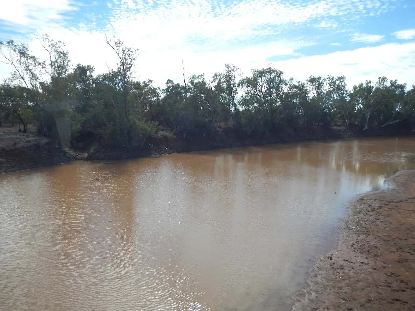
The Channel Country isn't a state or council area. It's a natural region, defined by the river systems that drain the far west of Queensland into the Lake Eyre Basin. The Queensland Government's WetlandInfo service treats it as a bioregion: a land of braided channels, gibber plains, red sand dunes and wide floodplains that can turn green after rain. It extends across the border into north-east South Australia, where Cooper Creek and the Diamantina reach the Lake Eyre region.
The rivers
- The Georgina River rises in the north-west, near the Northern Territory border, and flows south past Boulia country.
- The Diamantina River flows past Diamantina National Park and Birdsville, before continuing into South Australia as Warburton Creek.
- Cooper Creek begins where the Thomson and Barcoo rivers meet, near Windorah. It flows south-west past the Burke and Wills Dig Tree and Innamincka towards Lake Eyre.
These rivers are dry or reduced to waterholes for much of the time. When heavy monsoon rain falls in the north, the floodwater spreads slowly across the channels over weeks or months. This "flood pulse" drives a boom in fish, waterbirds and pasture, and the floodplain grasses have long supported cattle grazing. It's also why roads can be cut for long periods even when the local weather is fine.
Aboriginal Country
The Channel Country is the Country of many Aboriginal nations. Birdsville is on Wangkangurru Yarluyandi Country and Boulia is on Pitta Pitta Country, and there are many other groups across the region. Waterholes along the rivers were vital meeting and trading places, and many sites remain culturally significant. Some are protected and shouldn't be disturbed. Interpretive signs and visitor centres in the towns are a good place to start learning about local history. Our guide to visiting Country respectfully explains the basics.
Towns of the Channel Country
- Birdsville: the most famous Channel Country town. It's home to the Birdsville Hotel and the Birdsville Races, and it's the gateway to the Simpson Desert and the top of the Birdsville Track.
- Bedourie: the Diamantina Shire's administrative centre, with an artesian spa and a historic mud-brick hotel.
- Betoota: a tiny locality between Birdsville and Windorah, best known for its old hotel.
- Windorah: near the junction of the Thomson and Barcoo, known for its red sand dunes and the Windorah yabby races.
- Boulia: on the Burke River, home of the Min Min Encounter and the Boulia Camel Races. See our camel races guide.
- Innamincka: on Cooper Creek in South Australia, at the top of the Strzelecki Track.
- Quilpie and Thargomindah sit on the region's eastern and southern edges.
Things to see
- Big Red (Nappanerica): a large dune about 35 km west of Birdsville at the edge of Munga-Thirri–Simpson Desert National Park.
- Diamantina National Park: remote river country and red ranges between Boulia and Windorah, with basic camping.
- The Dig Tree: the Burke and Wills site on Cooper Creek near the Queensland–SA border. See Burke and Wills.
- Waterholes and birdlife: after floods, waterbirds gather in large numbers on Channel Country lakes and waterholes. See birdwatching.
- Kati Thanda-Lake Eyre: downstream in SA, the lake fills only occasionally. See the Kati Thanda guide.
Events through the year
Many travellers time a Channel Country trip around an event. Accommodation and camping fill fast at these times, and roads are busier.
- Boulia Camel Races: traditionally held in July, with long-distance camel races, entertainment and markets.
- Big Red Bash: a music festival held near Big Red in July. The organisers say the 2026 Big Red Bash was cancelled after floodwater inundated the site, and the 2027 event (6–8 July 2027) will be the final one.
- Birdsville Races: held each September since 1882, and the region's most famous event.
- Windorah yabby races and other local race days: smaller events with a strong community feel.
Our seasonal events calendar and festivals, rodeos and race days guide list more. Always confirm dates with the organisers, because events can be postponed or cancelled when it rains or roads flood.
A droving history
Channel Country stations have shipped cattle south for well over a century. Before road trains, mobs were walked along stock routes such as the Birdsville Track to the railhead at Marree. Our droving and stock routes guide tells that story.
Weather
Bureau of Meteorology long-term averages for Birdsville Airport, covering about 26 years:
| Month | Mean max (°C) | Mean rain (mm) |
|---|---|---|
| January | 40.8 | 22.1 |
| March | 35.9 | 40.3 |
| June | 21.5 | 11.5 |
| July | 21.9 | 5.4 |
| October | 33.6 | 9.3 |
Source: BOM climate statistics for Birdsville Airport (038026). Annual mean rainfall at the site is about 145 mm, but totals vary enormously from year to year.
The local rainfall is low. Floods usually come from rain hundreds of kilometres upstream. Winter days are mild and nights are cold, while summer days are extremely hot. See our outback weather by month guide.
Roads and access
The Channel Country is connected by a mix of sealed, part-sealed and unsealed roads. Roads into Birdsville, Bedourie and Windorah have sealed sections, but long stretches of dirt remain, and many roads close after rain or when floodwater is coming down the rivers. Check QLDTraffic (13 19 40), the relevant shire council's road reports and SA's Outback Road Warnings before you leave, and again each day. Never drive through floodwater or onto closed roads, because heavy fines apply and you may be stranded for a long time. Distances are long: Boulia Shire Council puts Boulia about 194 km from Bedourie and 383 km from Birdsville.
Planning tips
- Carry extra fuel, water and food, and a satellite communicator or PLB. See remote area travel safety.
- Book accommodation well ahead for event weekends, such as the Birdsville Races in September. Towns can be full months in advance.
- Expect basic services. Fuel, food and accommodation are limited, and opening hours vary.
- Take rubbish out with you. Bins are few and far between.
Related guides
Frequently asked questions
Why is it called the Channel Country?
Because of its rivers. The Georgina, Diamantina and Cooper Creek systems spread across very flat floodplains in many shallow, interlacing channels, waterholes and temporary wetlands, rather than in single deep riverbeds. In big floods these channels can join up across vast areas. Most of the water is lost to evaporation and soakage before it reaches Kati Thanda-Lake Eyre.
What towns are in the Channel Country?
Channel Country towns include Birdsville, Bedourie and Betoota in Diamantina Shire, Windorah, Jundah and Stonehenge in Barcoo Shire, and Boulia. Innamincka, on Cooper Creek in South Australia, is often included too. They're small, widely spaced communities, and most have only a few hundred residents or fewer.
What is the most remote town in Queensland?
There's no single official answer, but Birdsville and Bedourie in the far south-west are often described as among Queensland's most remote towns, because of the long distances to larger centres. The Australian Bureau of Statistics classes the whole Channel Country as Very Remote Australia.
When is the best time to visit the Channel Country?
The cooler months, roughly April to September, are the most comfortable. Bureau of Meteorology averages for Birdsville Airport show mean maximums of about 21.5°C in June and above 40°C in January. Flooding can cut roads at any time of year after big rain upstream, so check QLDTraffic and SA road reports.
Sources and further reading
Facts on this page were checked against these primary and official sources. Conditions change — confirm before you travel or buy.
- Channel Country bioregion facts and maps — Queensland Government (WetlandInfo)
- Lake Eyre Basin catchment story — Queensland Government (WetlandInfo)
- Climate statistics for Birdsville Airport (038026) — Bureau of Meteorology
- Birdsville, Bedourie & Betoota — Diamantina Shire Council
- Maps, directions and self-drive loops — Boulia Shire Council
- The Final Big Red Bash — Outback Music Festival Group