Outback South Australia was a big part of the old Outback Now directory, with pages for Innamincka, Mintabie, Marree, Oodnadatta, Andamooka and the Flinders towns. The state's outback is one of the easiest to reach from a capital city: Port Augusta, three hours from Adelaide, is the gateway.
Town guides
- Coober Pedy — opal capital and underground town.
- Marree — railway and cameleer heritage at the junction of two tracks.
- William Creek — a pub and airstrip on the Oodnadatta Track, gateway to Lake Eyre flights.
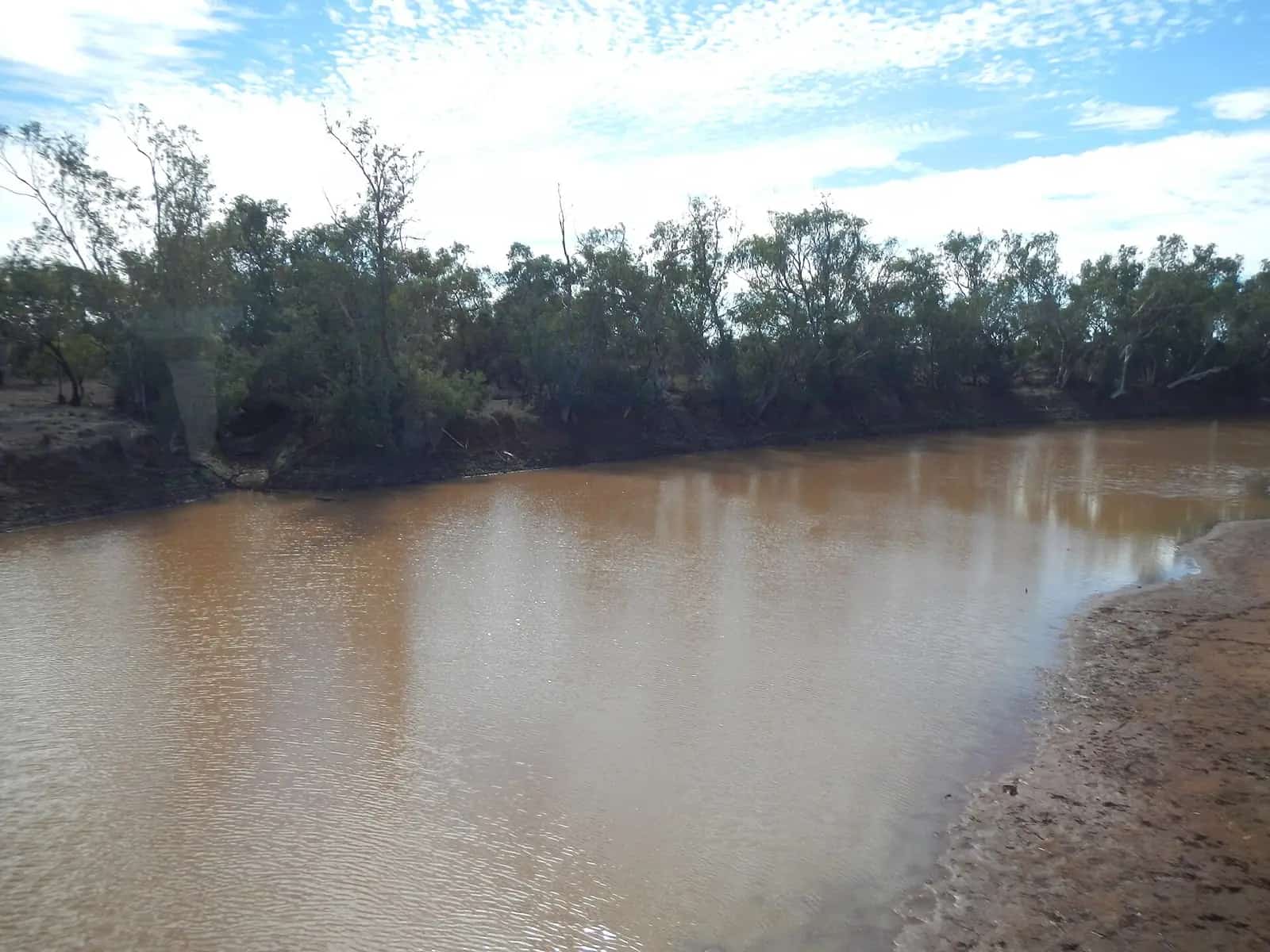
- Innamincka — Cooper Creek and the Burke and Wills story.
The Flinders Ranges
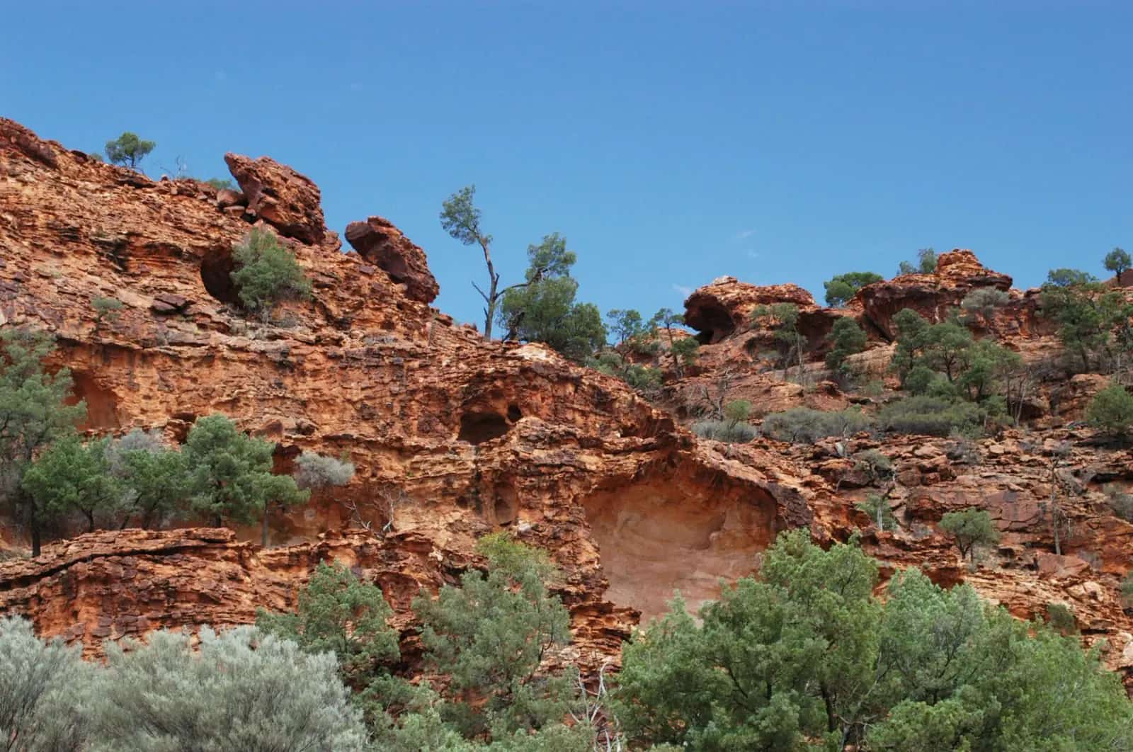
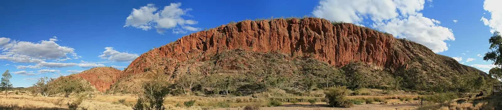
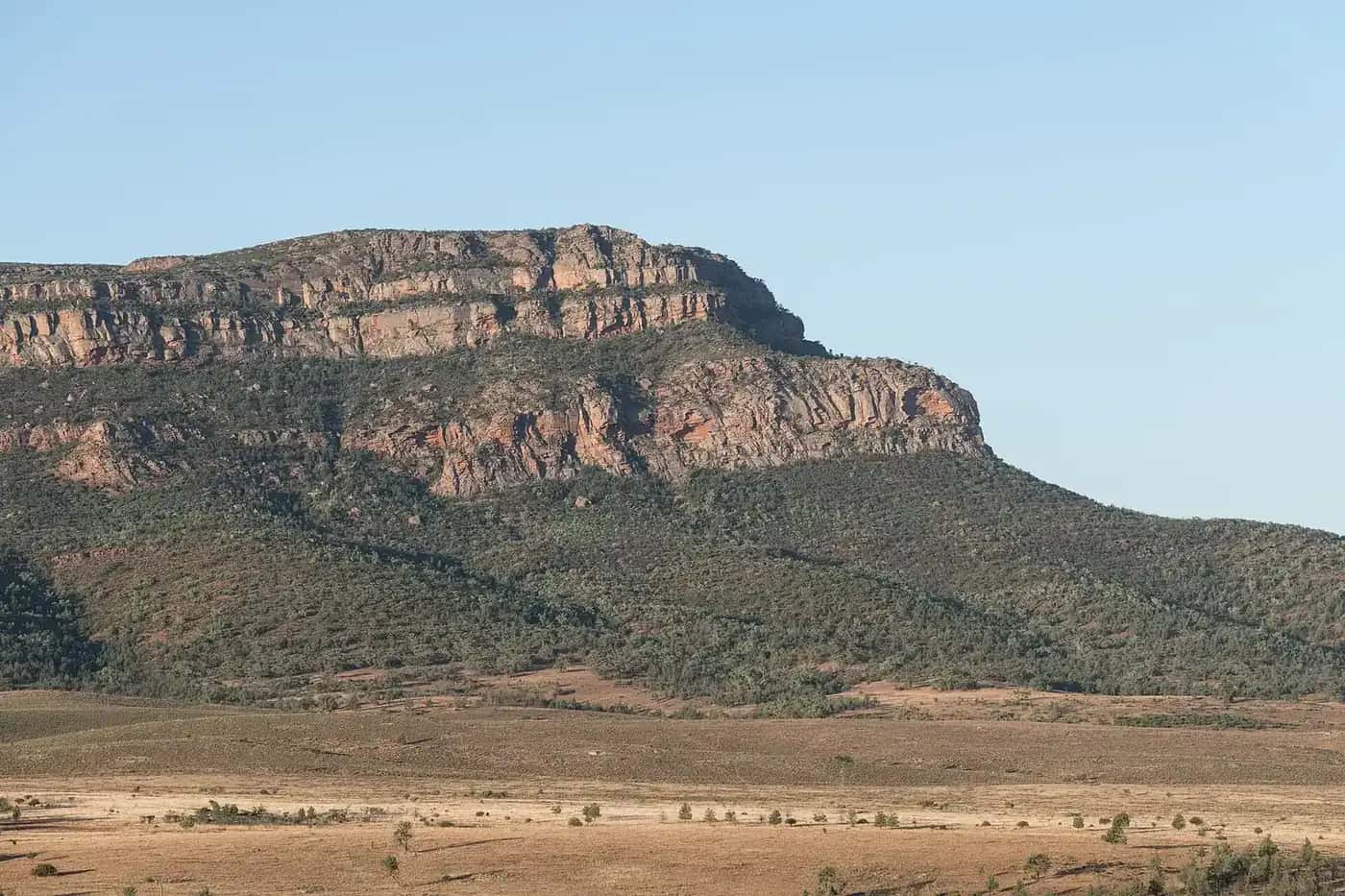
Ikara-Flinders Ranges National Park, Wilpena Pound, the Brachina Gorge geological trail and towns such as Hawker, Quorn, Blinman and Leigh Creek make the Flinders an ideal first outback trip. See our national parks guide.
The great tracks
- Oodnadatta Track — Marree to Marla via William Creek and Oodnadatta, following the old Ghan railway and a string of mound springs.
- Birdsville Track — Marree to Birdsville, about 520 km of gibber and sand.
- Strzelecki Track — Lyndhurst to Innamincka through the Cooper Basin oil and gas fields.
All three are unsealed and close after rain. A high-clearance vehicle, spare tyres and plenty of fuel and water are essential.
Getting there
The Stuart Highway runs north from Port Augusta to Coober Pedy and the NT — see Adelaide to Darwin. The Ghan stops at Port Augusta and Manguri (for Coober Pedy) on some departures.
Outback South Australia at a glance
South Australia is often called the driest state in the driest inhabited continent, and most of it is outback. From Port Augusta at the head of Spencer Gulf, the land stretches north to the NT border and the Simpson Desert, west to the Nullarbor and east to the Corner Country with NSW and Queensland. Highlights include the ancient ranges of the Flinders, the vast salt lake of Kati Thanda–Lake Eyre, the opal fields of Coober Pedy and Andamooka, and three of Australia's most famous outback tracks.
More towns to know
- Andamooka — a quirky opal-mining town near Roxby Downs.
- Roxby Downs — the modern town built for the Olympic Dam mine.
- Leigh Creek — a former coal-mining town in the northern Flinders.
- Hawker — a gateway to Wilpena Pound and the central Flinders.
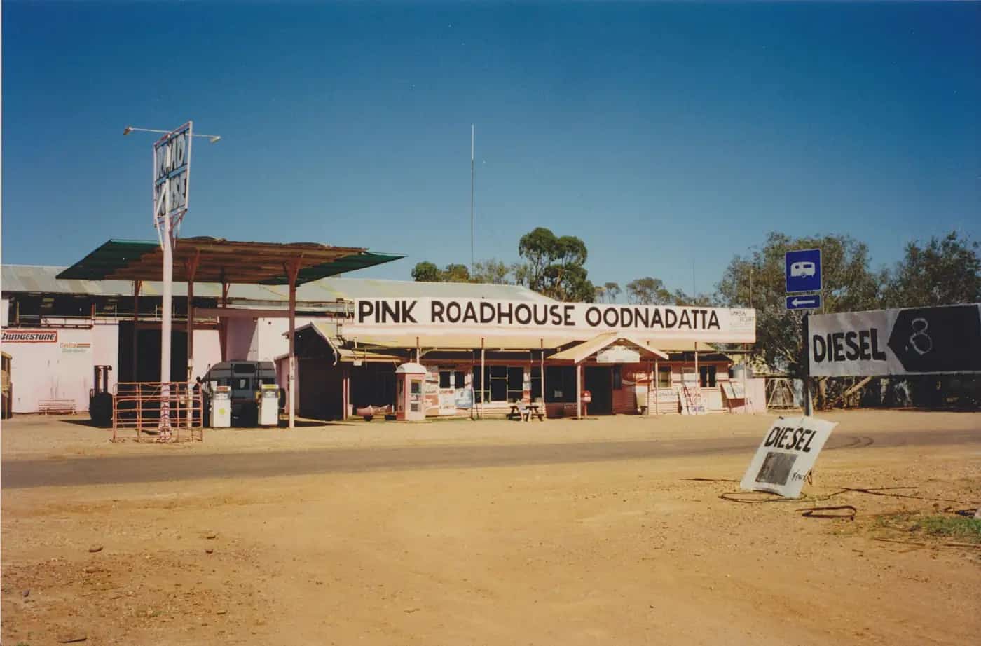
- Oodnadatta — the Pink Roadhouse and old Ghan railway town.
- Port Augusta — the crossroads of the outback.
The Flinders Ranges in more detail
The Flinders Ranges are among the oldest landscapes in Australia, with rock layers recording hundreds of millions of years of Earth's history. The Brachina Gorge Geological Trail passes through layers of rock with signs explaining their age, and the Ediacara fossils found in the region record some of the earliest complex life on Earth. The ranges are on Adnyamathanha Country, and the Adnyamathanha people co-manage Ikara-Flinders Ranges National Park. Further north, Vulkathunha-Gammon Ranges National Park and Arkaroola Wilderness Sanctuary offer rugged scenery, ridgetop tours and stargazing.
Kati Thanda–Lake Eyre
Kati Thanda–Lake Eyre is Australia's largest salt lake and the lowest point on the continent. It is usually dry, but floods from Queensland's Channel Country rivers occasionally fill parts of it, attracting waterbirds in vast numbers. The best way to appreciate its scale is on a scenic flight from William Creek, Marree or Coober Pedy. The lake is jointly managed with the Arabana people, and visitors are asked not to walk or drive on the lakebed.
The Nullarbor and far west
West of Port Augusta, the Eyre Highway crosses the Nullarbor Plain to WA, passing the Head of Bight, where southern right whales can be seen from viewing platforms in winter, and the Bunda Cliffs. The far west also includes the Great Victoria Desert and Aboriginal lands that require permits.
Permits and passes
Many of South Australia's outback parks require a Desert Parks Pass or park entry permit from National Parks and Wildlife Service SA. The APY Lands in the far north-west and the Maralinga Tjarutja Lands require entry permits from the relevant land holding bodies. Read our guide to fuel, permits and road conditions.
Road conditions
South Australia's Department for Infrastructure and Transport publishes outback road warnings and closures, updated regularly. Unsealed roads close quickly after rain and can stay closed for days. Driving on closed roads can attract heavy fines. Check before you go and at each town.
When to go
Autumn, winter and spring are the main seasons. The Flinders Ranges can be visited year-round, though summer is hot. The far north is best from about May to September, and the Simpson Desert parks close over summer.
Suggested trip
A classic outback SA loop from Adelaide runs through the Clare Valley to the Flinders Ranges, north to Marree, along the Oodnadatta Track to William Creek and Coober Pedy, then back south on the Stuart Highway. Allow at least ten days.
Visitor centres
Visitor information centres in Port Augusta (the Wadlata Outback Centre), Hawker, Coober Pedy and Roxby Downs can advise on road conditions, permits and tours before you head north.
Plan a drive: outback South Australia road trip.
Guides in this section
Outback South Australia
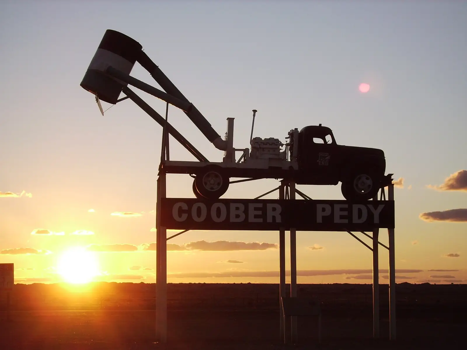
Coober Pedy
Coober Pedy guide: underground homes, churches and hotels, opal mine tours and noodling, the Breakaways, the Dog Fence and how many days to stay.
Read · 7 min
Outback South Australia
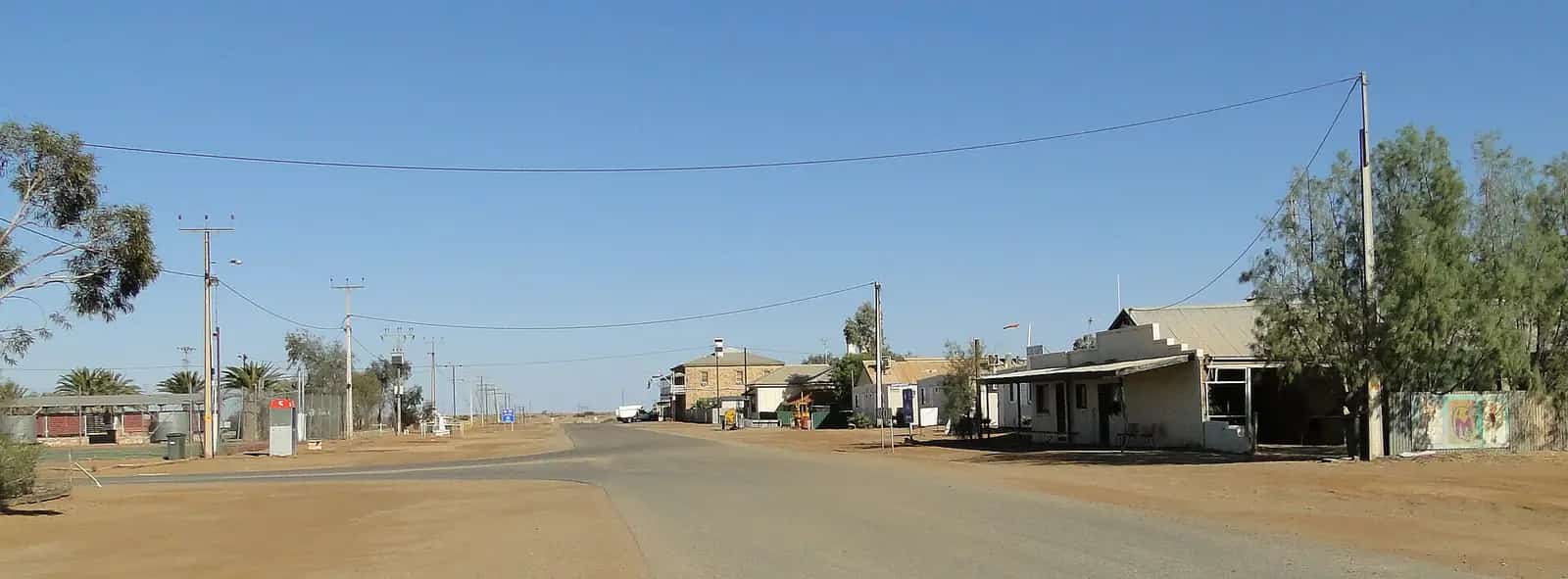
Marree
Marree, South Australia: Ghan railway and Afghan cameleer heritage, the start of the Oodnadatta and Birdsville tracks and Lake Eyre flights.
Read · 5 min
Outback South Australia
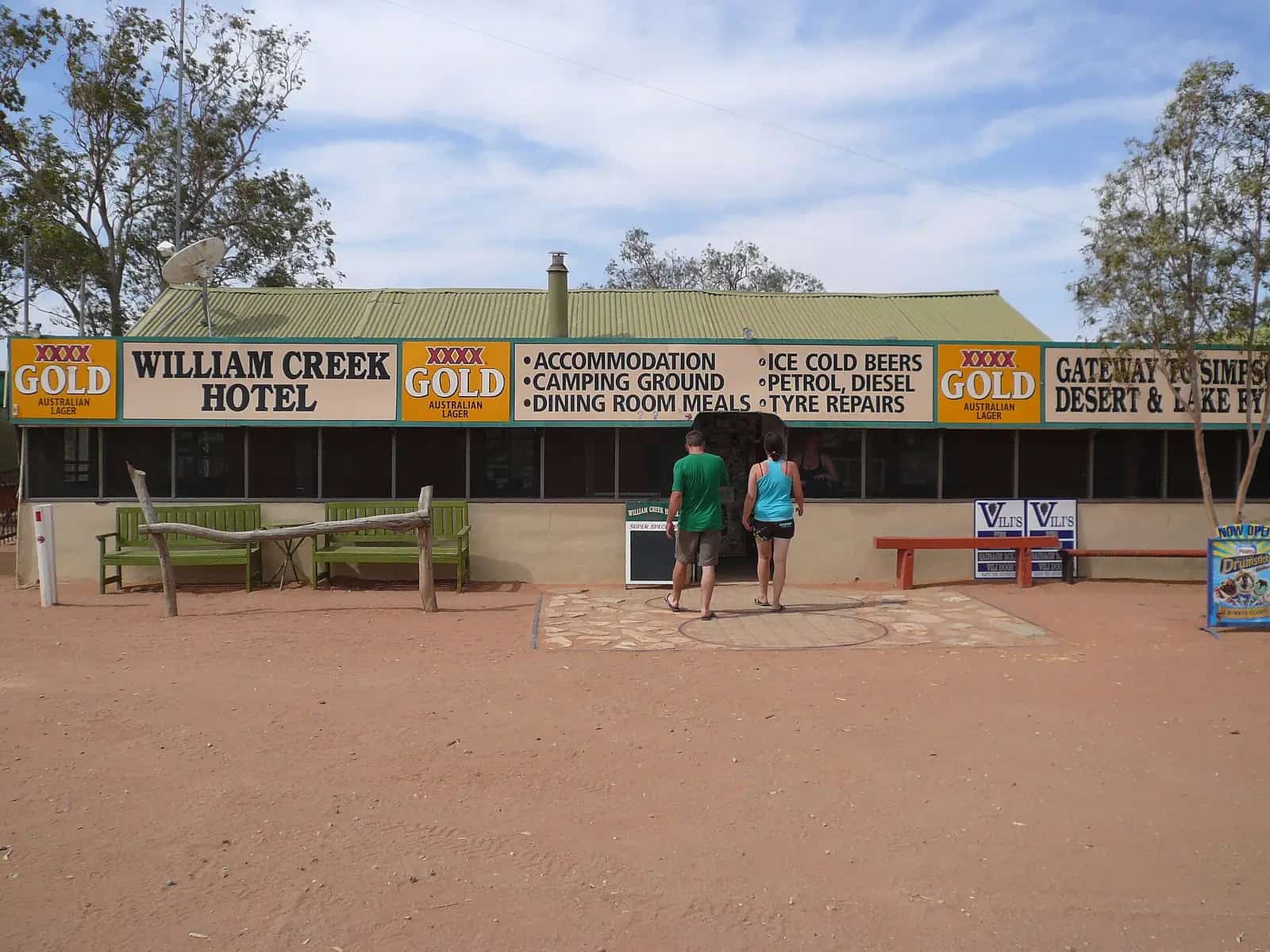
William Creek
William Creek, South Australia: one of the state's smallest towns, the historic hotel, Lake Eyre scenic flights, mound springs and Oodnadatta Track tips.
Read · 5 min
Outback South Australia
Innamincka
Innamincka, South Australia: Cooper Creek waterholes, the Dig Tree and Burke and Wills sites, Innamincka Regional Reserve, Coongie Lakes and road access.
Read · 5 min
South Australia · Far North
Oodnadatta
Oodnadatta travel guide: the Pink Roadhouse, the old Ghan railhead, Australia's temperature record, Arabana Country, Witjira and Dalhousie Springs.
Read · 5 min
South Australia · Far North
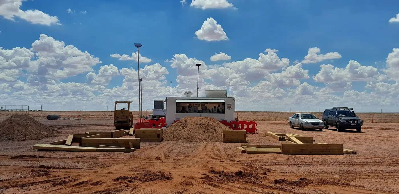
Andamooka
Andamooka travel guide: the opal mining town near Lake Torrens, its dugout homes, fossicking, the Andamooka opal and travel tips.
Read · 5 min
South Australia · Far North
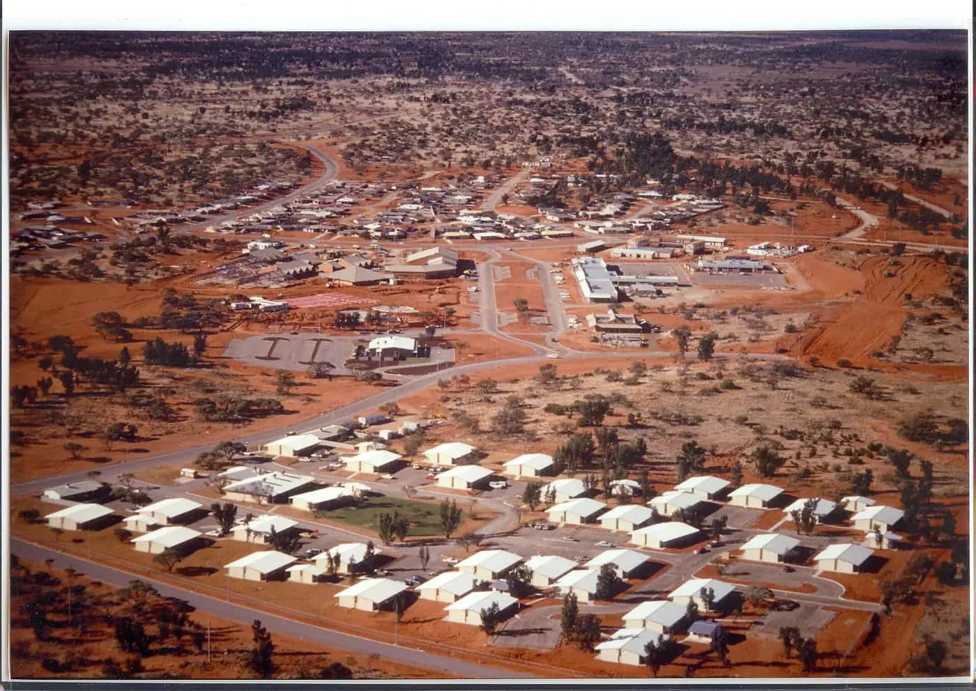
Roxby Downs
Roxby Downs travel guide: the town built for the Olympic Dam mine, the Arid Recovery reserve, Andamooka nearby and travel tips.
Read · 5 min
South Australia · Flinders Ranges
Leigh Creek
Leigh Creek travel guide: the former coal mining town, gateway to the northern Flinders Ranges, Arkaroola and the Strzelecki Track, with travel tips.
Read · 5 min
South Australia · Flinders Ranges
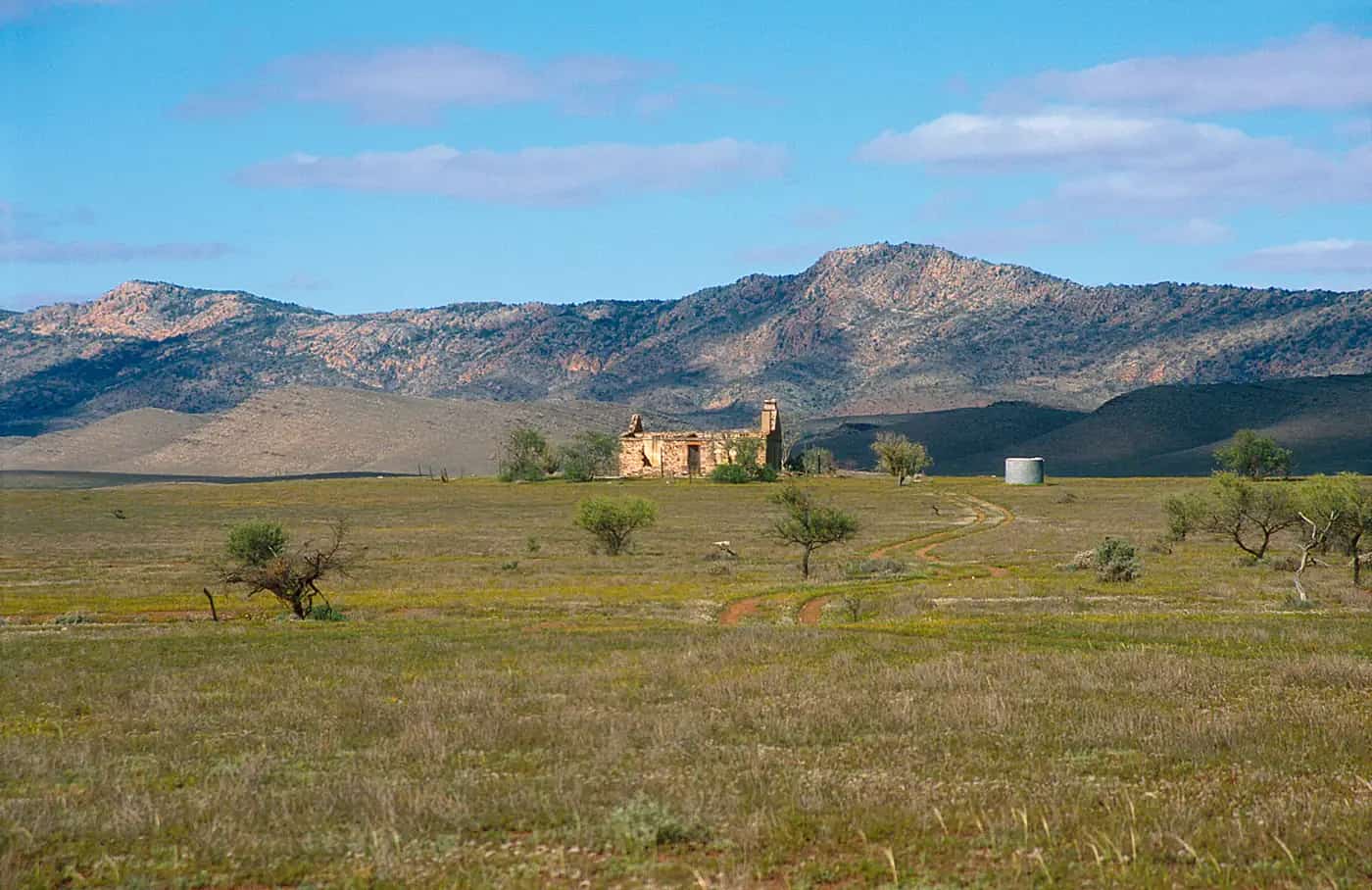
Hawker
Hawker travel guide: the Flinders Ranges railway town near Wilpena Pound, Jarvis Hill lookout, Yourambulla Caves rock art and travel tips.
Read · 5 min
South Australia · Upper Spencer Gulf
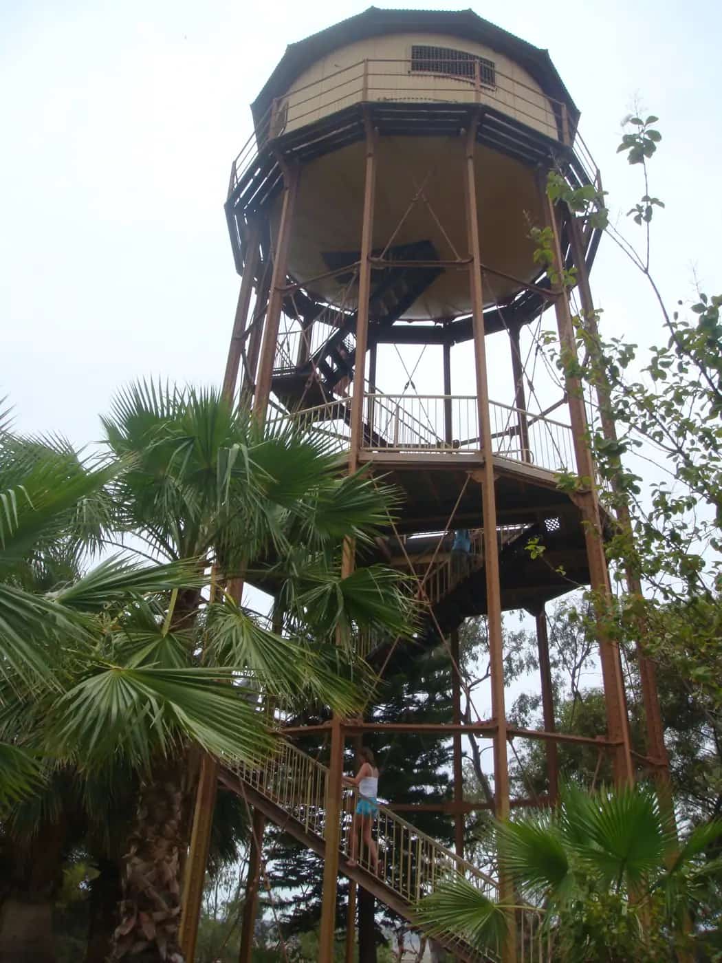
Port Augusta
Port Augusta travel guide: the crossroads of the Stuart, Eyre and Augusta highways, the Australian Arid Lands Botanic Garden and Wadlata Outback Centre.
Read · 6 min
Frequently asked questions
Do I need a permit for outback South Australia?
A Desert Parks Pass is needed for several desert parks, including Witjira and the Simpson Desert, and some Aboriginal lands such as the APY Lands require permits. Check with National Parks and Wildlife Service SA and the relevant land council.
Are the outback tracks in SA sealed?
No. The Oodnadatta, Birdsville and Strzelecki tracks are unsealed and can close after rain. Check DIT's outback road warnings before travelling.
Sources and further reading
Facts on this page were checked against these primary and official sources. Conditions change — confirm before you travel or buy.
- Outback road warnings — Department for Infrastructure and Transport SA
- Desert Parks Pass — National Parks and Wildlife Service SA
- Flinders Ranges and Outback — South Australian Tourism Commission