Wet season closure dates
Queensland Parks and Wildlife Service (QPWS) says Rinyirru (Lakefield) National Park, including all its camping areas, closes through the wet season every year:
| Camping areas | Closed |
|---|---|
| South of Lakefield ranger base (e.g. Kalpowar Crossing, Old Laura Homestead, Twelve Mile, Horseshoe Lagoon) | 1 December to 31 May |
| North of Lakefield ranger base (e.g. Hann Crossing, Sweetwater Lake, Annie River, Bizant River) | 1 December to 30 June |
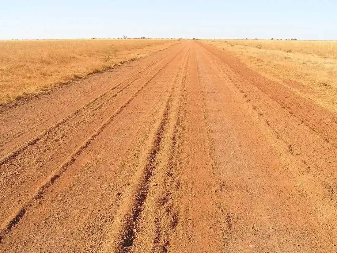
These dates can vary with weather and road conditions, and roads and camping areas can also close after heavy rain. Check park alerts, Queensland Traffic or Cook Shire Council before setting out.
Traditional Owners and joint management
The Aboriginal Traditional Owners welcome you to their Country and ask that you respect it. They are:
- the Lama Lama and Kuku Thaypan peoples
- the Bagaarrmugu, Mbarimakarranma, Muunydyiwarra, Magarrmagarrwarra, Balnggarrwarra and Gunduurwarra clans, and related families.
The park is Cape York Peninsula Aboriginal Land (CYPAL), jointly managed by the Rinyirru Aboriginal Corporation and the Queensland Government. "Rinyirru" is the name of the culturally significant Jeanette Hill area and a bora ground near Blue Lagoon, in the north of the park.
Formerly Lakefield National Park, it was gazetted in 1979, and Marina Plains was added in 2005. QPWS says it's the second largest park in Queensland.
Rarda-Ndolphin (Low Lake) is a restricted access area. Visitors may only go to the car park and viewing area.
Landscapes
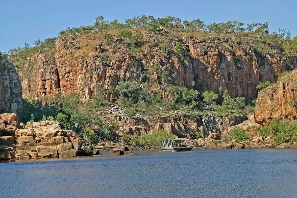
In the north, impenetrable mangroves line the estuaries and coast of Princess Charlotte Bay. Behind them are salt flats and marine plains, then eucalypt and paperbark woodlands. Tall paperbarks and patches of gallery rainforest fringe many rivers. In the south, sandstone hills and escarpments dominate.
The park also has European heritage, with links to early explorers, the Palmer Goldfields and the early cattle industry.
Things to do
Birdwatching and wildlife. Early morning and late afternoon are best:
- Red Lily and White Lily lagoons, about 8 km north of Lakefield ranger base. Red lotus lilies carpet Red Lily Lagoon, which has a viewing platform. Look for magpie geese and comb-crested jacanas.
- Catfish Waterhole, on the North Kennedy River off Lakefield Road. Look for waterbirds, turtles and crocodiles.
- The Nifold Plain, a treeless, flat landscape dotted with termite mounds, home to finches and bustards.
- Sweetwater Lake and Rarda-Ndolphin (Low Lake), picturesque lakes with lilies and wetland birds.
Walking. The Kalpowar discovery walk is 4 km return and takes about 1.5 hours (easy). It follows the Normanby River through vine forest and back through open woodland.
Heritage. At Old Breeza Homestead, a lagoon and 100-year-old mango trees mark the site, along with remnant buildings and cattle yards. Camping isn't permitted there. The Old Laura Homestead is in the south of the park.
Fishing and boating.
- Fishing. Recreational fishing is permitted at all camping areas.
- Boats. Private boats are allowed, but canoes aren't recommended because of crocodiles.
- Princess Charlotte Bay. The Bizant River boat ramp gives the best boat access, and there's no vehicle access to the bay. Check Great Barrier Reef zoning before entering the marine parks.
- Speartooth sharks. The critically endangered speartooth shark has been found in the Bizant River. Treat all sharks with care and return them to the water unharmed.
4WD, trail bikes and cycling.
- Where. Ride or drive the internal roads only. Off-road driving and riding aren't allowed.
- Licences and registration. Drivers and riders must be licensed and vehicles road-registered. Quad bikes aren't permitted for recreation.
- Bicycles. These aren't allowed on walking tracks.
Camping
QPWS lists more than 20 camping areas, ranging from secluded sites by scenic waterholes to large areas at major river crossings.
- Kalpowar Crossing has the best facilities in the park: toilets, showers, picnic tables and wheelchair-accessible toilets. It's spread along an 8 km stretch of permanent waterholes on the Normanby River. Generators aren't allowed here.
- Hann Crossing, on the North Kennedy River, has toilets.
- Most other areas have no facilities. Examples include Annie River, Bizant River, Melaleuca Waterhole, Midway Waterhole, Old Faithful, Sweetwater Lake and Twelve Mile Lagoon.
Booking rules:
- Book an e-permit in advance. Self-registration isn't available.
- Display your booking tag at your camp site.
- The maximum stay is 21 consecutive nights.
- Book early, because many areas are very popular.
Generators are allowed everywhere except Kalpowar Crossing, below 65 dB(A) measured at 7 m, and only between 8 am and 7 pm.
Campfires are allowed except during fire bans. Don't collect firewood in the park.
No dogs are permitted.
Getting there
| Route | Directions | Approx. time |
|---|---|---|
| From Cairns | Peninsula Developmental Road through Laura, then the Lakefield turn-off about 2 km north of Laura | Cairns to Laura 5–6 hr; Laura to New Laura ranger base 45 min; New Laura to Lakefield ranger base 45 min |
| From Cooktown | Battle Camp Road, 4WD only | About 3 hr to New Laura ranger base |
| From Coen | Peninsula Developmental Road to the Lakefield turn-off at Musgrave Roadhouse, then via Hann Crossing, 4WD only | About 3 hr from the turn-off to Lakefield ranger base |
QPWS says the park is about 340 km north-west of Cairns. Access isn't suitable for caravans.
Fuel and supplies:
- Laura, 84 km south-west of Lakefield ranger base, has fuel, meals, supplies and mechanical repairs.
- Musgrave Roadhouse, 109 km north-west, has fuel, meals, toilets, showers, limited supplies and some repairs.
When to go
QPWS says the best time is the cooler dry season, June to September. Average maximums then are 30–33°C, and July and August nights average a minimum of 14°C.
From October to December, the "build up" brings very high humidity, thunderstorms and maximums around 35°C. The wet season, usually December to May, prevents access to Lakefield and most of Cape York.
Crocodile safety
QPWS says estuarine crocodiles occur in the creeks, rivers, swamps, waterholes and along beaches. The park is one of only six key areas for estuarine crocodile conservation in Queensland.
- Never swim where crocodiles may live.
- When fishing, stand a few metres back from the water's edge.
- Never clean fish or leave scraps near the water or your camp.
- Camp at least 2 m above the high-water mark and at least 50 m from the water's edge.
- Be extra careful at night and in the breeding season, September to April.
Stinging jellyfish may also be present in tidal waters. Mosquito nets are recommended for camping.
Nearby: see our Cape York track guide, our crocodile safety guide and our guide to birdwatching in the outback.
Frequently asked questions
What to do in Lakefield National Park?
QPWS highlights fishing and boating, birdwatching at Red Lily and White Lily lagoons and Catfish Waterhole, the 4 km Kalpowar discovery walk, and the historic Old Laura and Breeza homesteads. You can also take 4WD, trail-bike and cycling trips on the internal roads, and camp at more than 20 bush camping areas beside rivers and waterholes.
When is Lakefield National Park open?
QPWS says the park, including all camping areas, closes through the wet season every year. Camping areas south of Lakefield ranger base close from 1 December to 31 May, and areas north of it from 1 December to 30 June. Dates can vary with weather and road conditions.
Can you take a caravan into Lakefield National Park?
No. QPWS says access into Rinyirru (Lakefield) is not suitable or recommended for caravans, and the park's roads and camping areas aren't suitable for caravans, campervans or buses. Make sure your vehicle is in good mechanical condition, with suitable suspension and cooling.
Are there crocodiles in Lakefield National Park?
Yes. QPWS says estuarine crocodiles occur in the creeks, rivers, swamps, waterholes and along the beaches. The park is one of only six key areas for estuarine crocodile conservation in Queensland. Never swim where crocodiles may live, and camp at least 50 m from the water's edge.
Do you need to book camping at Lakefield?
Yes. QPWS says all camping must be booked in advance with an e-permit before you arrive. Self-registration isn't available and there's no mobile coverage on site. The maximum stay at any camping area is 21 consecutive nights.
Sources and further reading
Facts on this page were checked against these primary and official sources. Conditions change — confirm before you travel or buy.
- Rinyirru (Lakefield) National Park (CYPAL) — Queensland Parks and Wildlife Service
- About Rinyirru (Lakefield) National Park — Queensland Parks and Wildlife Service
- Things to do, Rinyirru (Lakefield) National Park — Queensland Parks and Wildlife Service
- Camping, Rinyirru (Lakefield) National Park — Queensland Parks and Wildlife Service
- Visiting safely, Rinyirru (Lakefield) National Park — Queensland Parks and Wildlife Service
- Queensland Traffic — Queensland Government