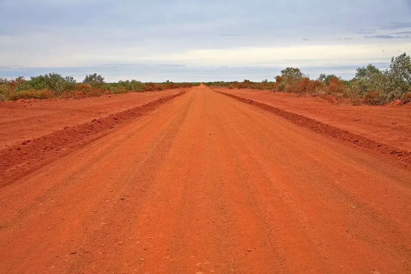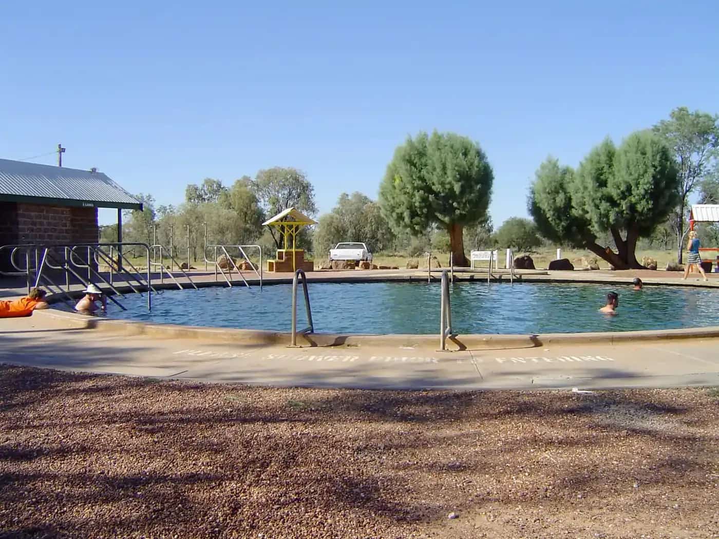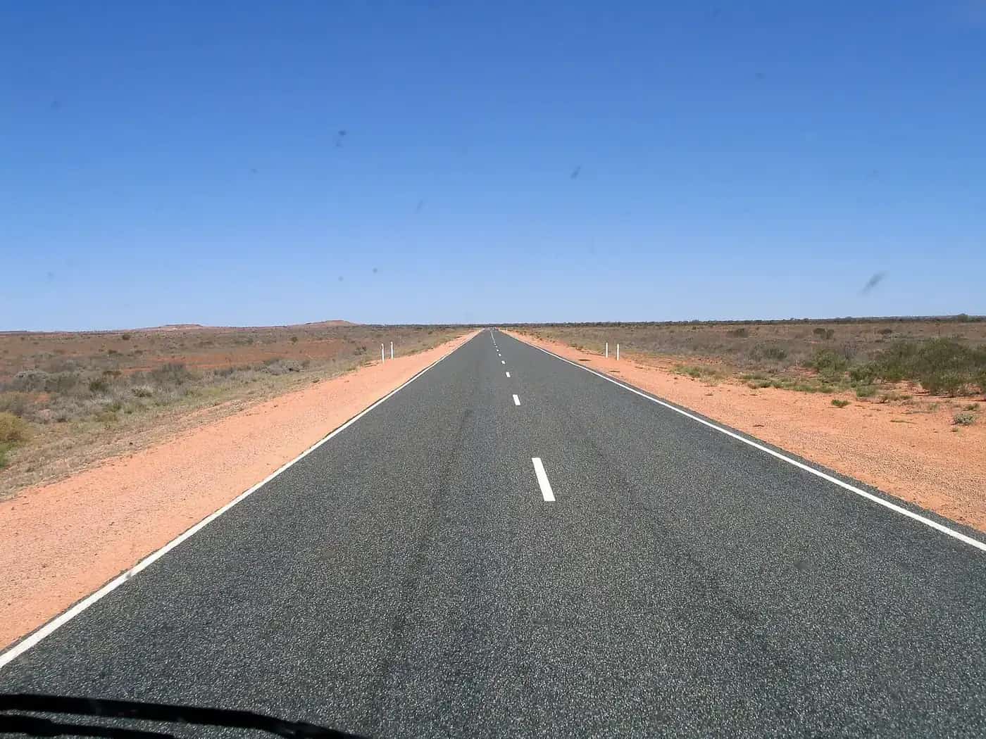
The Nullarbor crossing is one of Australia's classic road trips. Its name comes from Latin for "no tree", and it fits. For hundreds of kilometres the Eyre Highway crosses flat, treeless limestone plain. In places it swings south to run along the top of the Bunda Cliffs above the Great Australian Bight. Most people drive it as part of a Perth to Adelaide trip (about 2,700 km by the most direct route) or a lap of Australia.
The crossing at a glance
| Start and finish | Norseman (WA) and Ceduna (SA) |
| Distance | About 1,206 km on the Eyre Highway |
| Road | Sealed all the way; no 4WD needed |
| Fuel stops | 13, from 12 km to 191 km apart |
| Days to allow | Two long days minimum; three is more comfortable |
| Quarantine | WA checkpoint at Eucla (westbound); SA disposal bins at Ceduna (eastbound) |
The figures for distances, fuel stops and days come from Nullarbor Net, an independent traveller's guide. Fuel stop hours change, so phone ahead if you're relying on one.
Fuel stops west to east
| Stop | State | Leg from previous | From Norseman |
|---|---|---|---|
| Norseman | WA | — | 0 km |
| Balladonia | WA | 191 km | 191 km |
| Caiguna | WA | 182 km | 373 km |
| Cocklebiddy | WA | 64 km | 437 km |
| Madura | WA | 91 km | 528 km |
| Mundrabilla | WA | 115 km | 643 km |
| Eucla | WA | 66 km | 709 km |
| Border Village | SA | 12 km | 721 km |
| Nullarbor Roadhouse | SA | 186 km | 907 km |
| Yalata | SA | 94 km | 1,001 km |
| Nundroo | SA | 52 km | 1,053 km |
| Penong | SA | 76 km | 1,129 km |
| Ceduna | SA | 77 km | 1,206 km |
The longest legs are Norseman to Balladonia (191 km), Border Village to Nullarbor Roadhouse (186 km) and Balladonia to Caiguna (182 km). If your vehicle can't comfortably cover 250 km on a tank with a margin, carry an approved jerry can. Nullarbor Net also notes that, when it checked in September 2026, there was no 24-hour fuel heading east between Norseman and Madura (528 km). That matters if you might be driving late.
A three-day plan
Day 1: Norseman to Cocklebiddy or Madura (about 440–530 km). Start with the long run to Balladonia. You'll pass the 90 Mile Straight, which Nullarbor Net lists at 146.6 km without a turn and describes as Australia's longest straight road. Break the drive at Caiguna.
Day 2: Madura to Border Village or Nullarbor Roadhouse (about 190–380 km). The highway drops down the Madura Pass onto the Roe Plains. At Eucla there's the old telegraph station ruins in the dunes. Cross the border at Border Village, then stop at the Bunda Cliffs lookouts east of the border.
Day 3: Nullarbor Roadhouse to Ceduna (about 300 km). Cross the last of the treeless plain, then head through Yalata, Nundroo and Penong into Ceduna, where you'll find full services. From Ceduna, Port Augusta is about 470 km further east.
Reverse the plan if you're heading west. Stretch it to four days if you want a slower pace or extra time at the lookouts.
Quarantine
Both states run quarantine controls to keep out pests such as fruit fly.
- Heading into WA: the WA quarantine checkpoint on the Eyre Highway at Eucla operates 24/7. WA's Department of Primary Industries and Regional Development (DPIRD) says most fresh fruit and vegetables are prohibited, apart from specified permitted items. Honey is prohibited unless it has a health certificate.
- Heading into SA: Primary Industries and Regions SA (PIRSA) prohibits bringing fresh fruit into South Australia, and there are disposal bins at Ceduna. For honey, PIRSA advises calling the Fruit Fly Hotline on 1300 666 010.
Plan your shopping so you arrive at the border with little or no fresh produce. Eat it, or bin it before the checkpoint.
Time zones
The crossing spans Western time, the unofficial "Central Western" time used around Caiguna to Border Village, and South Australian time. Your phone may not change for the unofficial zone. Check roadhouse opening hours in local time so you don't arrive just after the pumps close.
Driving safely
Main Roads WA's long-distance driving advice covers planning rest stops, managing fatigue and sharing the road with heavy vehicles. On the Nullarbor:
- Fatigue: take a break at least every two hours. Rest areas and roadhouses are spaced along the route.
- Wildlife and stock: kangaroos, wombats, emus, camels and livestock can be on the road, especially at dawn, dusk and night. Avoid driving in those hours. See kangaroos and driving safety.
- Road trains: give them room, and only overtake with a long, clear view ahead.
- Crosswinds: strong winds off the Bight can push caravans and high vehicles around. Slow down in gusty conditions.
- Communications: mobile coverage is limited between roadhouses. Carry a satellite messenger or PLB, and see remote area travel safety.
Caravans and camping
The Eyre Highway suits caravans because it's sealed throughout. Roadhouses typically offer powered and unpowered sites, and there are free roadside rest areas along the route. Follow the signs at each site on overnight stays. See free camping rules by state and caravanning in the outback.
When to go
The cooler months, roughly April to October, are the most comfortable, with cold mornings in mid-winter. Summer brings hot days, although southerly changes off the ocean can bring sudden cooler spells. School holidays fill roadhouse accommodation, so book ahead if you aren't camping.
Connecting routes
- West of Norseman, the Goldfields: Kalgoorlie-Boulder and Coolgardie.
- East of Ceduna: Port Augusta and the Flinders Ranges.
- North from Port Augusta, the Stuart Highway: Adelaide to Darwin.
Highlights along the way
The Nullarbor is often described as empty, but there's plenty to stop for if you allow the time:
- The 90 Mile Straight: the long straight between Balladonia and Caiguna. The signs at each end are a classic photo stop.
- Eucla: the ruins of the old telegraph station, partly buried by sand dunes, recall the Overland and East–West telegraph era. See the Overland Telegraph Line.
- The Bunda Cliffs: east of Border Village, signposted lookouts look over sheer cliffs dropping into the Great Australian Bight. Stay behind barriers, as the cliff edges are unstable.
- Head of Bight: east of Nullarbor Roadhouse, this is a well-known site for viewing southern right whales in the winter season, roughly June to October. Access and fees are managed locally, so check before you go.
- Ceduna: oysters, beaches and full services after the crossing.
How much does it cost?
Costs vary widely with your vehicle and style of travel. Fuel is the biggest variable. Nullarbor Net notes that you should expect to pay more for fuel on the crossing than in the cities. Roadhouse accommodation and meals are also priced for remoteness. Free rest areas keep camping costs low. Budget for at least two to three nights' accommodation or camping, and fill up at Norseman or Ceduna, where prices are usually lower.
Is the Nullarbor dangerous?
The crossing itself is straightforward on a sealed road, but the distances mean small problems can become big ones. The most common risks are:
- Fatigue on the long straights: share the driving, and stop every two hours.
- Animal strikes at night: kangaroos, wombats, emus, camels and stock can be on the road.
- Overtaking road trains: only pass with a long, clear view ahead.
Carry water, keep your fuel topped up, and tell someone your plans. With those precautions, it's one of the more forgiving long outback drives.
Related guides
Frequently asked questions
How long does it take to drive the Nullarbor?
Norseman to Ceduna is about 1,206 km. Allow at least two long days, or three for a more comfortable pace with time for the Bunda Cliffs lookouts and rest breaks. Perth to Adelaide is about 2,700 km by the most direct route, so most people take four to six days end to end.
How many fuel stops are on the Nullarbor?
There are 13 fuel stops between Norseman and Ceduna, most of them roadhouses, ranging from 12 km to 191 km apart. The longest gaps are Norseman to Balladonia (191 km), Border Village to Nullarbor Roadhouse (186 km) and Balladonia to Caiguna (182 km).
Is it safe to drive across the Nullarbor?
Yes, for a prepared driver in a well-maintained vehicle. The road is sealed. The main risks are fatigue, wildlife and stock at dawn, dusk and night, road trains, and long gaps between services. Take regular breaks, avoid driving after dark, and carry water and a way to call for help.
What is the best month to travel the Nullarbor?
Autumn, winter and spring are the most comfortable. Summer can be very hot, although coastal winds can bring cooler changes. Expect cold mornings in winter.
Can you take fruit across the Nullarbor?
Generally no. Western Australia's border checkpoint on the Eyre Highway at Eucla operates 24/7, and most fresh fruit and vegetables and honey are prohibited entering WA. Heading east, South Australia prohibits bringing fresh fruit in, with quarantine disposal bins at Ceduna. Check the current lists before you go.
Sources and further reading
Facts on this page were checked against these primary and official sources. Conditions change — confirm before you travel or buy.
- Nullarbor fuel stops and distances — Nullarbor Net
- Crossing the Nullarbor — Nullarbor Net
- What can I bring into WA? — Department of Primary Industries and Regional Development, WA
- Quarantine WA border checkpoints — Department of Primary Industries and Regional Development, WA
- Travelling to South Australia — Primary Industries and Regions SA
- Regional and long distance driving — Main Roads Western Australia