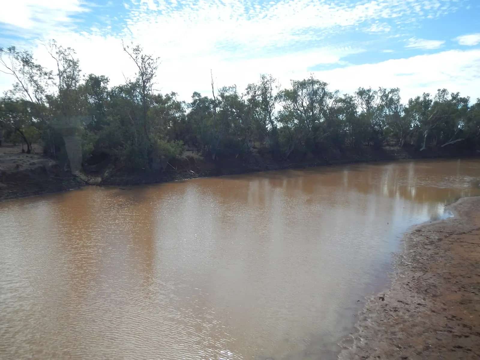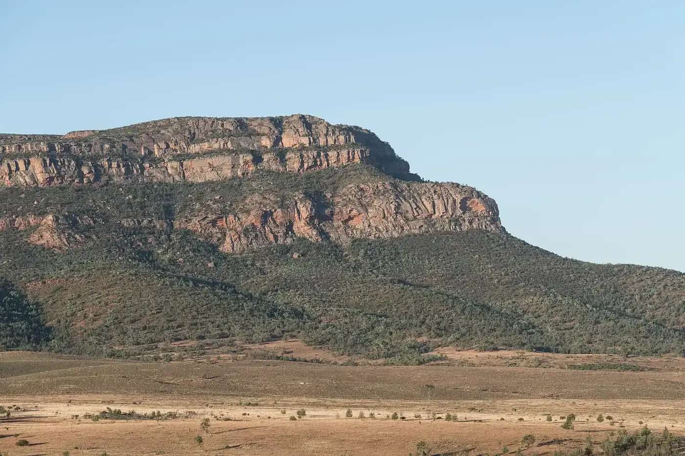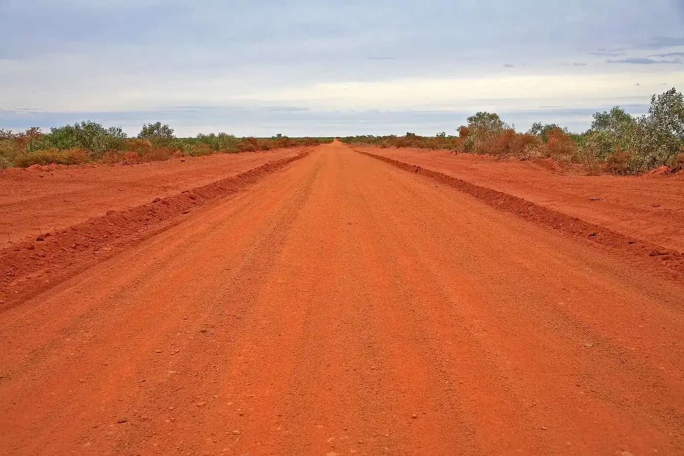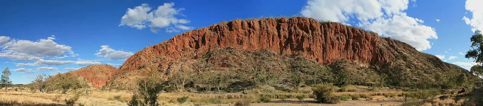
The Larapinta Trail follows the ridges and gorges of Tjoritja / West MacDonnell National Park west of Alice Springs. It's Arrernte Country. The trail links many of the park's best-known places, and the NT Government lists highlights including Simpsons Gap, Ellery Creek Big Hole, Ormiston Gorge and Mount Sonder.
The route
The trail starts at the Alice Springs Telegraph Station and runs west to finish on the summit of Mount Sonder, the highest point on the trail. It's divided into 12 sections. The NT Government says each takes one or two days to walk. Most trailheads have vehicle access, although some need a high-clearance 4WD. That means you can join or leave the trail at many points, and walk it in parts over several trips.
Section highlights include:
- Simpsons Gap: an early section close to Alice Springs.
- Standley Chasm: a narrow cleft in the range, with a private campground.
- Brinkley Bluff: one of the trail's best-known high points and campsites.
- Hugh Gorge and Ellery Creek Big Hole: a waterhole popular for swimming in warmer weather.
- Serpentine Gorge and Counts Point: ridge-top views across the ranges.
- Ormiston Gorge: a major trailhead with facilities.
- Mount Sonder: a pre-dawn climb for sunrise is the traditional finale.
How many days?
Walking end to end usually takes around 2 to 3 weeks, depending on fitness and rest days. The NT Government publishes suggested itineraries for different lengths. Many walkers do the western sections (Ormiston Gorge to Mount Sonder) or a few days near Alice Springs instead. Guided operators run shorter trips of about 6 to 9 days that walk the best sections with vehicle support.
Fees and bookings
To walk overnight, you must:
- pay walking trail fees, and
- book and pay camping fees for a designated campsite for each night you'll be on the trail.
Book and pay online before you go, through the NT Parks booking system. Visitors to the NT also need an NT Parks Visitor Pass. Check current fees on the NT Parks website.
Campgrounds
The NT Government lists 26 designated campgrounds along the trail, including Simpsons Gap, Jay Creek, Brinkley Bluff, Hugh Gorge, Ellery Creek, Serpentine Gorge, Counts Point, Ormiston Gorge, Finke River and Redbank Gorge. There's also a privately run campground at Standley Chasm. You must camp only at designated sites. The only exception is an emergency, injury or illness.
Water and food
Water is provided at many trailheads and some campsites, but supplies vary and can fail, so check the current conditions page before you set out. Most end-to-end walkers arrange food drops, either their own (placed by vehicle at trailheads) or through a commercial service, because carrying food for weeks isn't practical. See water and food planning.
Best time to walk
The walking season is the cooler months, roughly April to September. Days are mild, but nights on exposed ridges can drop below freezing in mid-winter. From October to March, extreme heat makes long sections dangerous. See travelling in summer heat.
Safety
- Register your plans with someone reliable, and carry a personal locator beacon or satellite messenger. Mobile coverage is very limited.
- Carry enough water for the hottest part of each day, and know where the next reliable source is.
- Wear sturdy boots. The ground is rocky and loose, and ankle injuries are common.
- Walk early in warmer weather, and rest in the shade at midday.
- Check the current conditions page for closures, water status and fire danger.
See remote-area safety.
Guided or self-guided?
Self-guided walkers book their own campsites, arrange transport and food drops, and carry full packs. Guided trips handle logistics, often with semi-permanent camps and vehicle transfers, so you carry only a day pack. Both are popular. Guided trips book out early for the peak months.
Getting there
The eastern trailhead is the Alice Springs Telegraph Station, about 4 km north of town. Transfer services run to the western trailheads, or you can arrange private transport. Alice Springs has the nearest airport, and The Ghan stops there.
Respecting Country
The trail passes many places of significance to Arrernte people. Stay on the marked track, leave rock art and cultural sites untouched, and follow any signs. See visiting Country respectfully.
Related guides
Frequently asked questions
How long does the Larapinta Trail take to walk?
The NT Government says each of the 12 sections takes one or two days. Walking the full trail end to end usually takes around 2 to 3 weeks, including rest and resupply days. Fit walkers on a guided or supported trip sometimes cover the highlights in 6 to 9 days by skipping or shuttling sections.
How much does it cost to walk the Larapinta Trail?
Overnight walkers pay a walking trail fee plus camping fees for each designated campground, booked online before they go. Visitors to the NT also need an NT Parks Visitor Pass. Check the NT Parks booking system for current fees. Guided walks and food-drop or transfer services cost extra.
Is it possible to walk the Larapinta Trail in 7 days?
Not end to end for most people. The full trail is more than 230 km, which is over 30 km a day for a week, on rough, rocky ground. Many seven-day guided trips walk selected sections, including Mount Sonder, and use vehicle transfers between trailheads.
Are there dingoes on the Larapinta Trail?
Dingoes live in the West MacDonnell Ranges and may visit campsites. Never feed them, store food securely, and keep children close. Report aggressive dingoes to rangers.
When is the best time to walk the Larapinta Trail?
The cooler months, roughly April to September. Summer temperatures are extreme, and walking long sections in the heat is dangerous. Winter nights can drop below freezing, so carry warm gear.
Sources and further reading
Facts on this page were checked against these primary and official sources. Conditions change — confirm before you travel or buy.
- Plan your Larapinta Trail walk — Northern Territory Government
- Larapinta Trail suggested itineraries — Northern Territory Government
- Larapinta Trail current conditions — Northern Territory Government