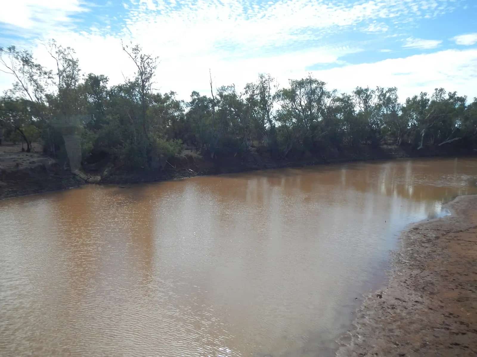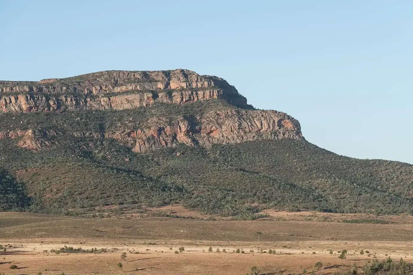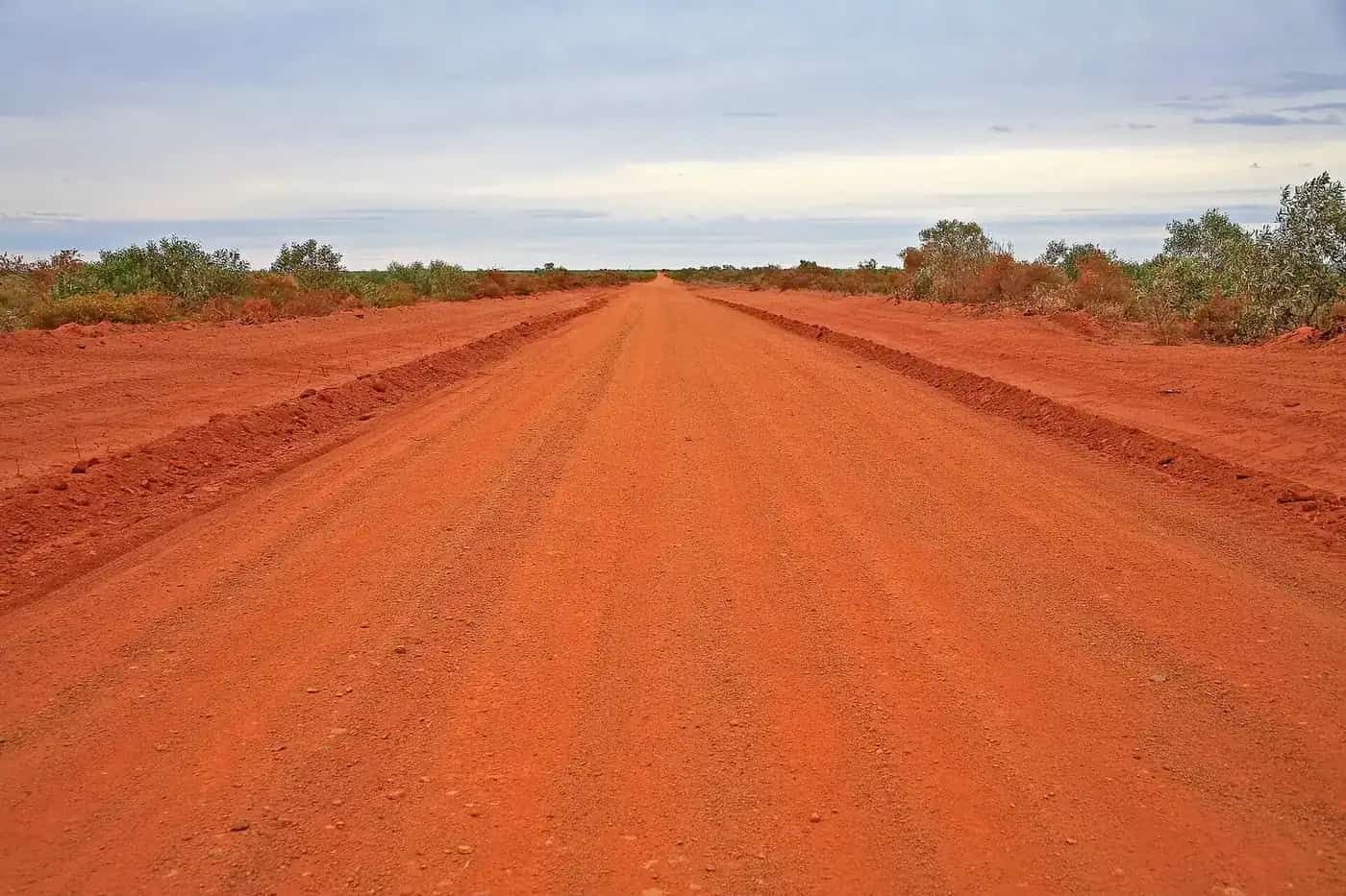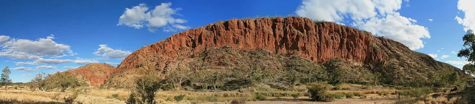
The Mereenie Loop is the rough, beautiful heart of the Red Centre Way. From the West MacDonnell Ranges and Hermannsburg (Ntaria), it heads south-west across Aboriginal land to Watarrka (Kings Canyon), passing through desert country of red sand, desert oaks and distant ranges. Combined with the sealed Larapinta and Namatjira drives, it creates a loop between Alice Springs, the West Macs, Kings Canyon and Uluru.
Route overview
A typical loop from Alice Springs:
- Head west on Namatjira Drive through the West MacDonnell Ranges, or on Larapinta Drive to Hermannsburg.
- Join the Mereenie Loop road, unsealed, towards Kings Canyon.
- Arrive at Watarrka National Park (Kings Canyon).
- Continue to Uluru-Kata Tjuta via Luritja Road and the Lasseter Highway, or return to Alice Springs.
You can drive it in either direction.
The permit
The road crosses Aboriginal land, so you need a Mereenie Tour Pass issued on behalf of the Central Land Council.
- Discover Central Australia lists it at about $5 per vehicle, valid for three days.
- Buy it in person at the Alice Springs Visitor Information Centre, the Central Land Council office in Alice Springs, the Standley Chasm shop, the Hermannsburg General Store, Kings Canyon Resort reception or Kings Creek Station reception. Glen Helen reception was listed as unavailable due to closure.
- It's issued in person rather than online.
- It covers travel on the road only. It doesn't allow you to leave the road or visit communities.
Carry your pass and check current details with the Central Land Council or local visitor information before you travel.
Road conditions
The Mereenie Loop is unsealed. Expect:
- Corrugations, sometimes severe.
- Sandy patches and bulldust.
- Washouts or closures after rain.
- Wildlife, cattle and camels on the road.
Discover Central Australia recommends 4WD vehicles only, or off-road-permitted AWDs. Caravans and camper trailers should be off-road models. If you're hiring, check the vehicle is allowed on the Mereenie Loop. The sealed alternative between Alice Springs and Kings Canyon, via the Stuart and Lasseter highways and Luritja Road, takes about 5 hours without stops. Lower tyre pressures can make the ride smoother and safer. Always check NT Road Report before you set out. See 4WD driving.
Fuel and supplies
There's no fuel and no facilities on the loop. Plan to fill up at:
- Alice Springs or Kings Canyon, which Discover Central Australia recommends before you set off.
- Hermannsburg store or Kings Creek Station, which have fuel and limited supplies.
Glen Helen is also listed for fuel, but it has been affected by closures, so check before you rely on it. Alice Springs to Kings Canyon via the loop is about 332 km.
Opening hours can be limited, so check ahead. Carry plenty of water, food and a spare tyre. See fuel, permits and road conditions.
Highlights nearby
- West MacDonnell Ranges: gorges, waterholes and walks such as Simpsons Gap, Standley Chasm, Ormiston Gorge and the Ochre Pits. See West MacDonnell National Park.
- Hermannsburg Historic Precinct: the former Lutheran mission and the art legacy of Albert Namatjira.
- Finke Gorge National Park: Palm Valley, reached on a challenging 4WD-only track from near Hermannsburg.
- Gosses Bluff (Tnorala): a striking crater landform visible along the way, with conditions on access roads varying.
- Kings Canyon: the Rim Walk and Kings Creek Walk. See Watarrka (Kings Canyon).
Rules on the loop
- No camping along the road. Stop for breaks, then keep moving.
- No drinking alcohol along the loop. Sealed alcohol can be carried in the vehicle.
- Watch for wild brumbies, camels and dingoes. Ginty's Lookout, near Kings Canyon, is a good place to stop.
Best time to go
The cooler months, roughly May to September, bring comfortable walking weather. Nights can be very cold. In summer, heat makes walking dangerous in the middle of the day, and storms can close the road. See best time to visit.
Safety tips
- Drive only in daylight, and allow plenty of time.
- Mobile coverage is limited or absent. Carry a satellite communication device.
- Tell someone your plans.
- If you break down, stay with your vehicle.
- Carry at least several litres of water per person per day, plus extra.
See outback safety.
Camping
Camping isn't permitted along the Mereenie Loop. You can stop for breaks, but the pass is for transit only. Camp at campgrounds in the West Macs, Hermannsburg area or Kings Canyon. See outback camping.
Related guides
Nearby: Finke Gorge (Palm Valley).
Frequently asked questions
Do you need a permit for the Mereenie Loop?
Yes. You need a Mereenie Tour Pass from the Central Land Council to travel the road, which crosses Aboriginal land. Discover Central Australia lists the pass at about $5 per vehicle, valid for three days. It's sold in person at outlets in Alice Springs, Standley Chasm, Hermannsburg, Kings Canyon Resort and Kings Creek Station. Check current details before you go.
Do you need a 4WD for the Mereenie Loop?
The road is unsealed and can be heavily corrugated, sandy and rough. A high-clearance 4WD is recommended, and many hire companies don't allow 2WD vehicles on unsealed roads. Conditions change with grading and rain, so check NT Road Report.
Is there fuel on the Mereenie Loop?
No. There's no fuel or other services along the loop itself. Fill up in Alice Springs or Kings Canyon, with fuel also at Hermannsburg and Kings Creek Station, and check their hours in advance.
How long does the Mereenie Loop take?
Allow most of a day for the unsealed section, with stops. Rough patches, corrugations and wildlife mean you should drive slowly and only in daylight.
Sources and further reading
Facts on this page were checked against these primary and official sources. Conditions change — confirm before you travel or buy.
- Mereenie Loop — Discover Central Australia
- Permits — Central Land Council
- NT Road Report — Northern Territory Government