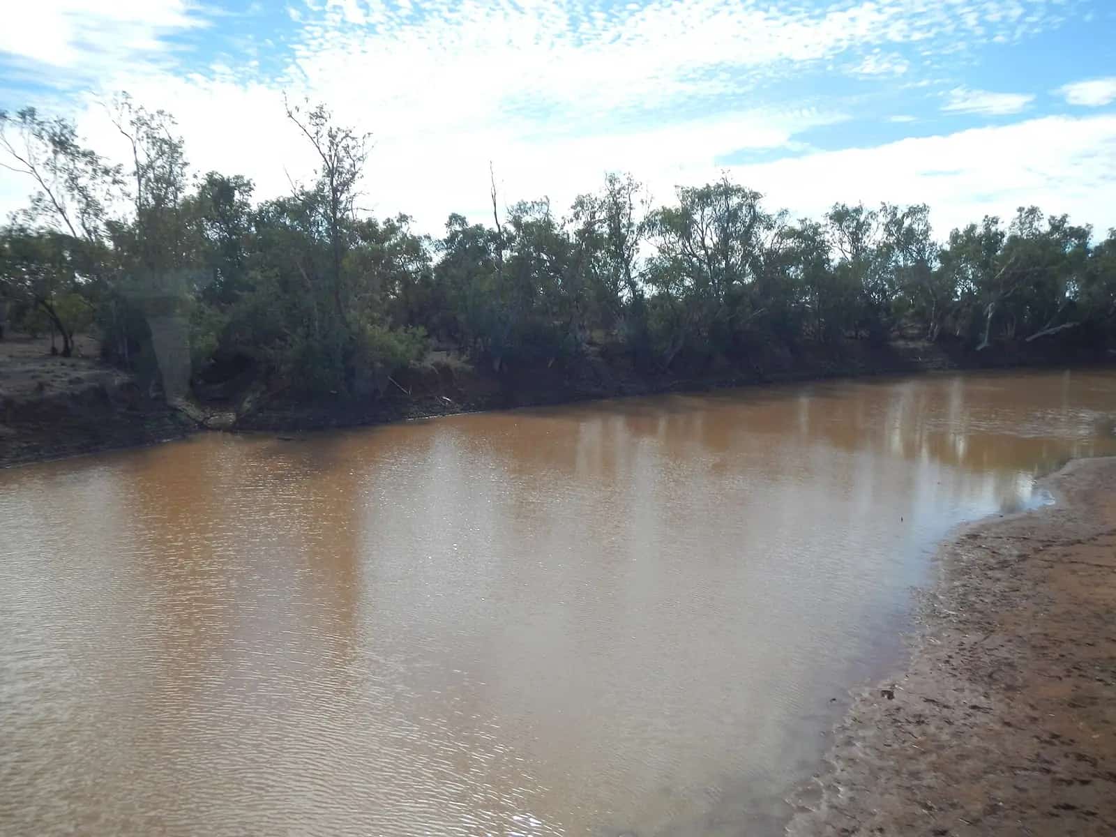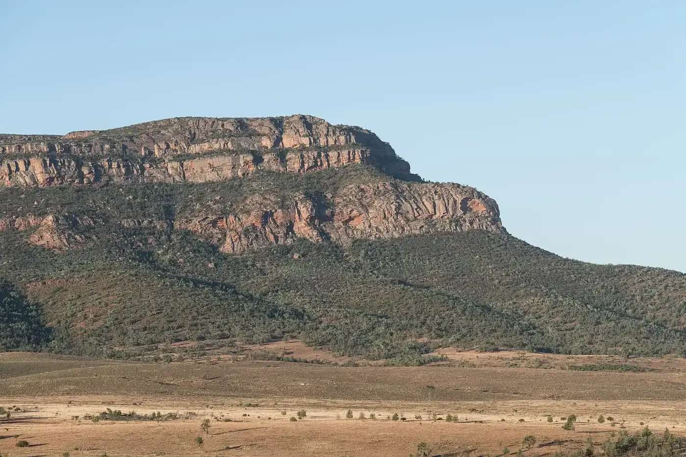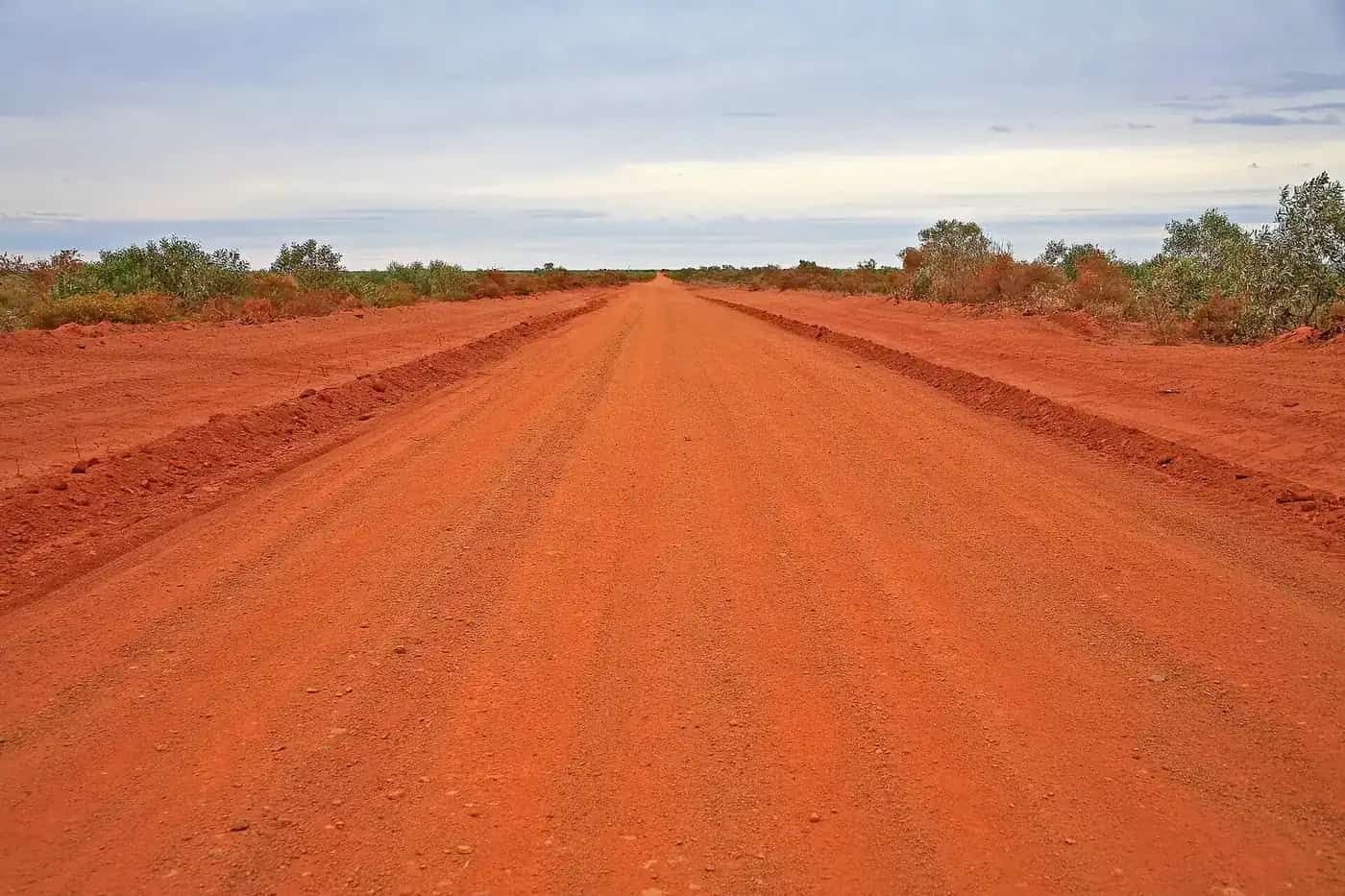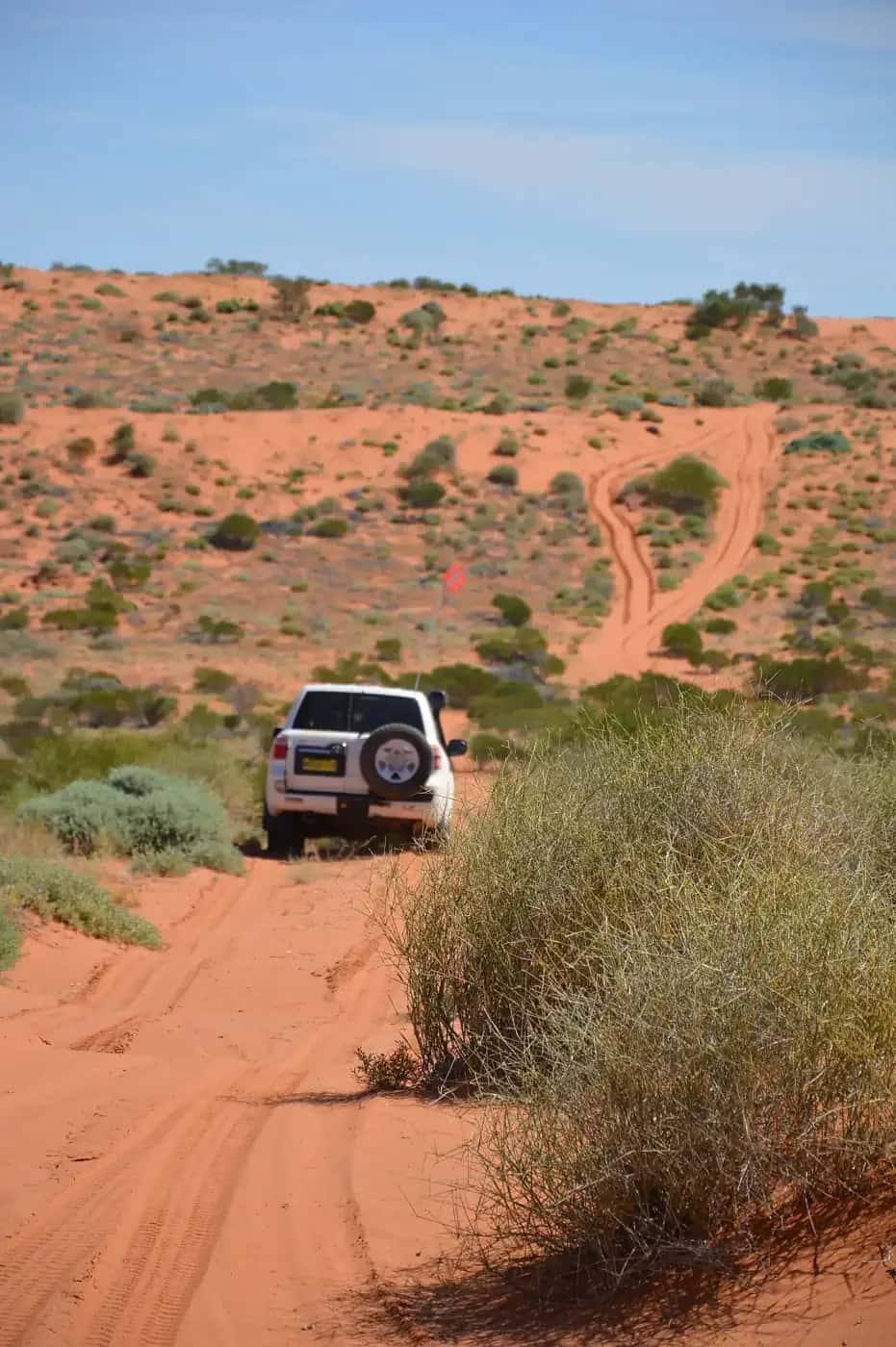
The Canning Stock Route crosses the Gibson, Little Sandy, Great Sandy and Tanami deserts on the Country of many Aboriginal peoples, including the Martu, Manyjilyjarra and Kukatja. It is remote, demanding and unforgettable.
History
In the early 1900s, Kimberley cattlemen wanted a route to move cattle south to the goldfields. Surveyor Alfred Canning led an expedition in 1906–07 to survey a route with wells a day's walk apart, then returned to build them in 1908–10. Canning's methods, including the use of Aboriginal people as guides, involved coercion and violence that is now acknowledged as part of the route's history. The route was rarely used for droving and fell into disuse. It was revived as a 4WD challenge from the 1970s.
The National Museum of Australia's Yiwarra Kuju: The Canning Stock Route exhibition presented the route from the perspective of Aboriginal artists and communities whose Country it crosses.
The route
- Wiluna — the southern start.
- Durba Springs — a scenic gorge and camping area.
- Kunawarritji community — near Well 33, where fuel has been available.
- Lake Gregory and Billiluna — near the northern end.
- Halls Creek — the northern finish via the Tanami Road.
Planning
Most travellers go in convoy, carrying fuel for long stretches or arranging fuel drops. Vehicles must be well maintained and equipped with sand flags, recovery gear and long-range communications. Fuel, water and food planning is critical.
Permits
Permits or passes are required for sections on Aboriginal land and some protected areas. Requirements change, so check current advice with the WA Government and the relevant Aboriginal corporations well before you go.
Safety
The Canning is an expedition for experienced, well-equipped travellers. Carry a satellite phone and a PLB, tell someone your plans, and follow advice on seasons and closures.
The wells and their history
Surveyor Alfred Canning led the expedition that surveyed the route in 1906, and his team built 51 wells between 1908 and 1910, so cattle could be driven from the Kimberley to the goldfields. During the survey, Aboriginal men were captured and chained to force them to reveal water sources. A Royal Commission in 1908 examined the treatment of Aboriginal people during the survey. The route was used for droving only intermittently, and the last drove took place in the late 1950s. Many wells have since collapsed; some have been restored.
The National Museum of Australia's Yiwarra Kuju exhibition presented the Canning Stock Route from the perspective of Aboriginal people whose Country it crosses. It is an excellent resource before you go.
Vehicle and convoy
The Canning is one of the toughest 4WD routes in the world. It crosses hundreds of sand dunes, with long stretches of corrugations and spinifex. Vehicles must be in excellent condition, with heavy-duty tyres, suspension and recovery gear. Travel in convoy with at least one other vehicle. Trailers are strongly discouraged. Tag-along tours operate for those without experience.
Water and fuel planning
Water quality in the wells varies and some are dry or unsafe. Carry enough water for the whole trip, plus a reserve. Fuel use is high in sand. Plan your fuel carefully, considering a fuel drop and current availability at Kunawarritji.
Seasons
May to September is the main travel season. Summer temperatures are extreme, and the route is effectively closed. Rain can make sections impassable at any time.
Respect
The route crosses the Country of many Aboriginal peoples, including Martu, Ngaanyatjarra, Walmajarri and others. Some sites are culturally restricted. Obtain the necessary permits and follow all guidance from Traditional Owners. See visiting Country respectfully.
What to bring
Satellite phone and PLB, spare parts, two or more spare tyres, a comprehensive first aid kit, enough food and water for the whole trip and delays, and detailed maps. Read our remote-area travel safety guide.
Planning resources
Detailed guidebooks, maps and up-to-date trip reports are essential. Many travellers join a tag-along tour or travel with experienced friends for their first trip. Allow time for vehicle preparation before you leave, including suspension checks, a full service and a test run fully loaded. Carry spare parts suited to your vehicle, and know how to use them.
Fines for driving closed roads
In Western Australia, as in other states, shires can close unsealed roads after rain, and driving on a closed road can bring heavy fines. The Canning connects with shire roads at both ends, including around Wiluna and Halls Creek. Check the relevant shire and Main Roads WA updates before setting out and again at each end.
Photography and drones
The red dunes, salt lakes and restored wells make for remarkable images, especially at dawn. Many places along the route are culturally significant to Traditional Owners. Don't photograph rock art or other sites where signs or permit conditions say not to. Check whether your permit conditions cover drone use before you fly.
After the trip
When you finish the route, clean your vehicle thoroughly, including the underbody and radiator, to remove spinifex seeds and mud. That helps stop weeds spreading, and it reduces the fire risk from spinifex lodged near the exhaust and other hot components. Check for damage to suspension, steering and chassis before driving on.
Related guides
Before you go, read 4WD recovery and water and food planning.
Frequently asked questions
Where do you get fuel on the Canning Stock Route?
Fuel is very limited. Many travellers arrange a fuel drop in advance, and fuel has been available at Kunawarritji community. Confirm current arrangements before departure.
How long does it take to drive the Canning Stock Route?
Most travellers allow two to three weeks for the full route between Wiluna and Halls Creek. Some take longer to explore side trips and rest days.
How long is the Canning Stock Route?
About 1,850 km from Wiluna to near Halls Creek, typically taking two to three weeks.
Do you need a permit?
Parts of the route cross Aboriginal land and native title areas where permits or passes are required. Check current requirements with the relevant authorities and Aboriginal corporations before travelling.
When can you travel the Canning?
The cooler months, roughly May to September. Summer heat is dangerous, and rain can make sections impassable.
Sources and further reading
Facts on this page were checked against these primary and official sources. Conditions change — confirm before you travel or buy.
- Canning Stock Route (Shire of Wiluna) — Shire of Wiluna
- Canning Stock Route (Wikipedia) — Wikipedia
- Main Roads WA travel map — Main Roads Western Australia
- Ngurra Kuju Walyja — Canning Stock Route project — National Museum of Australia