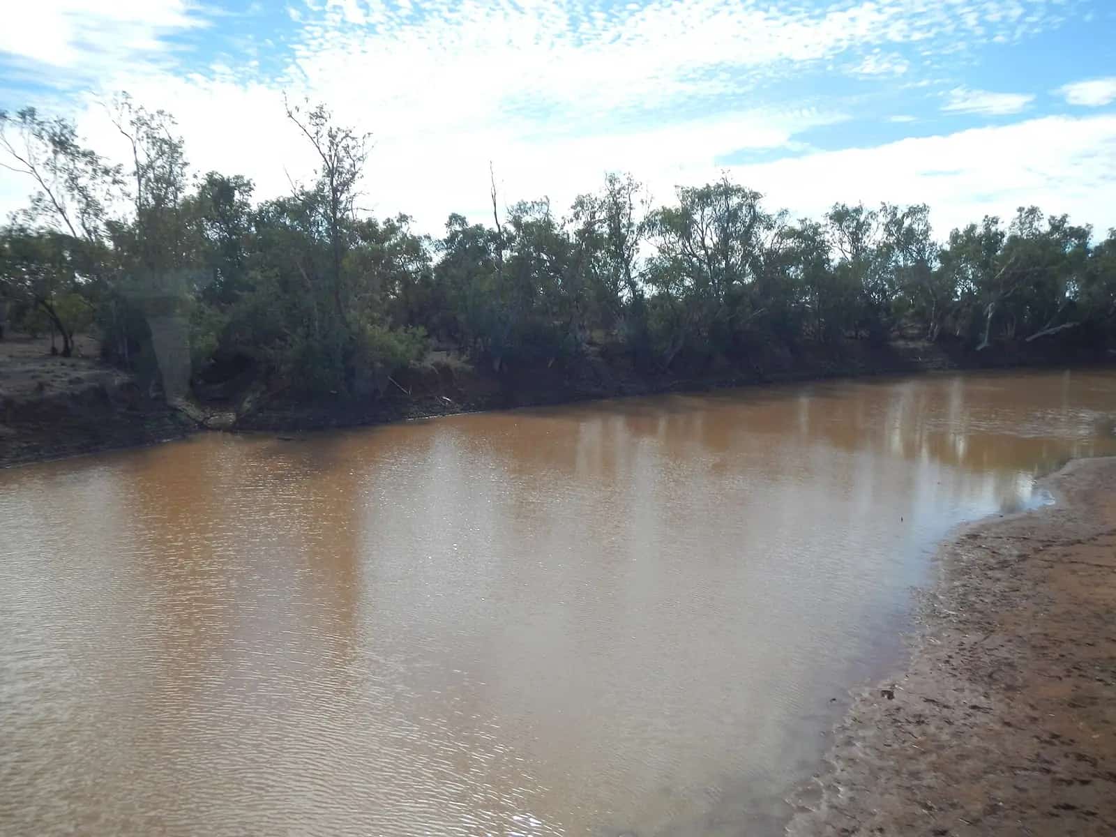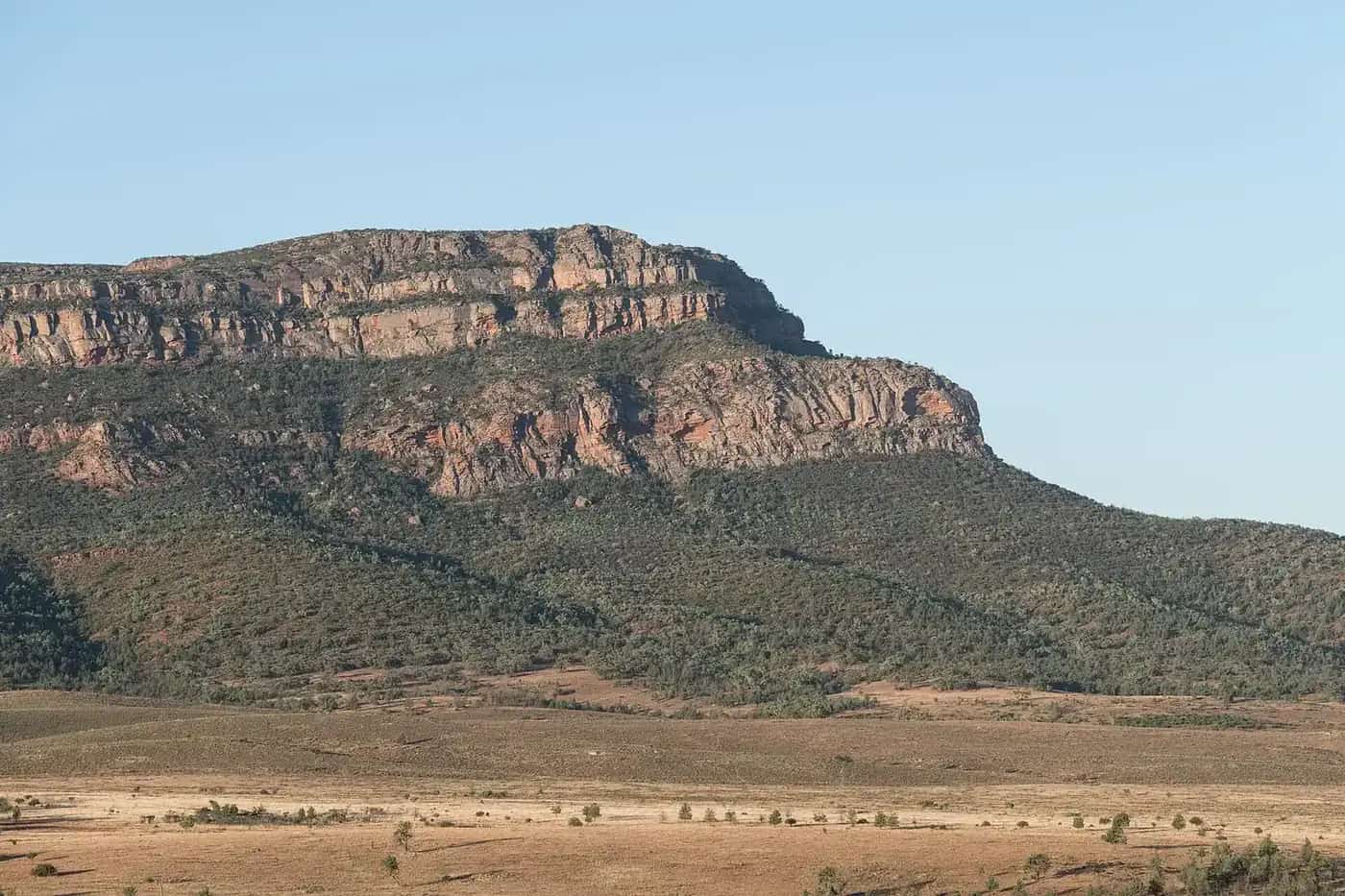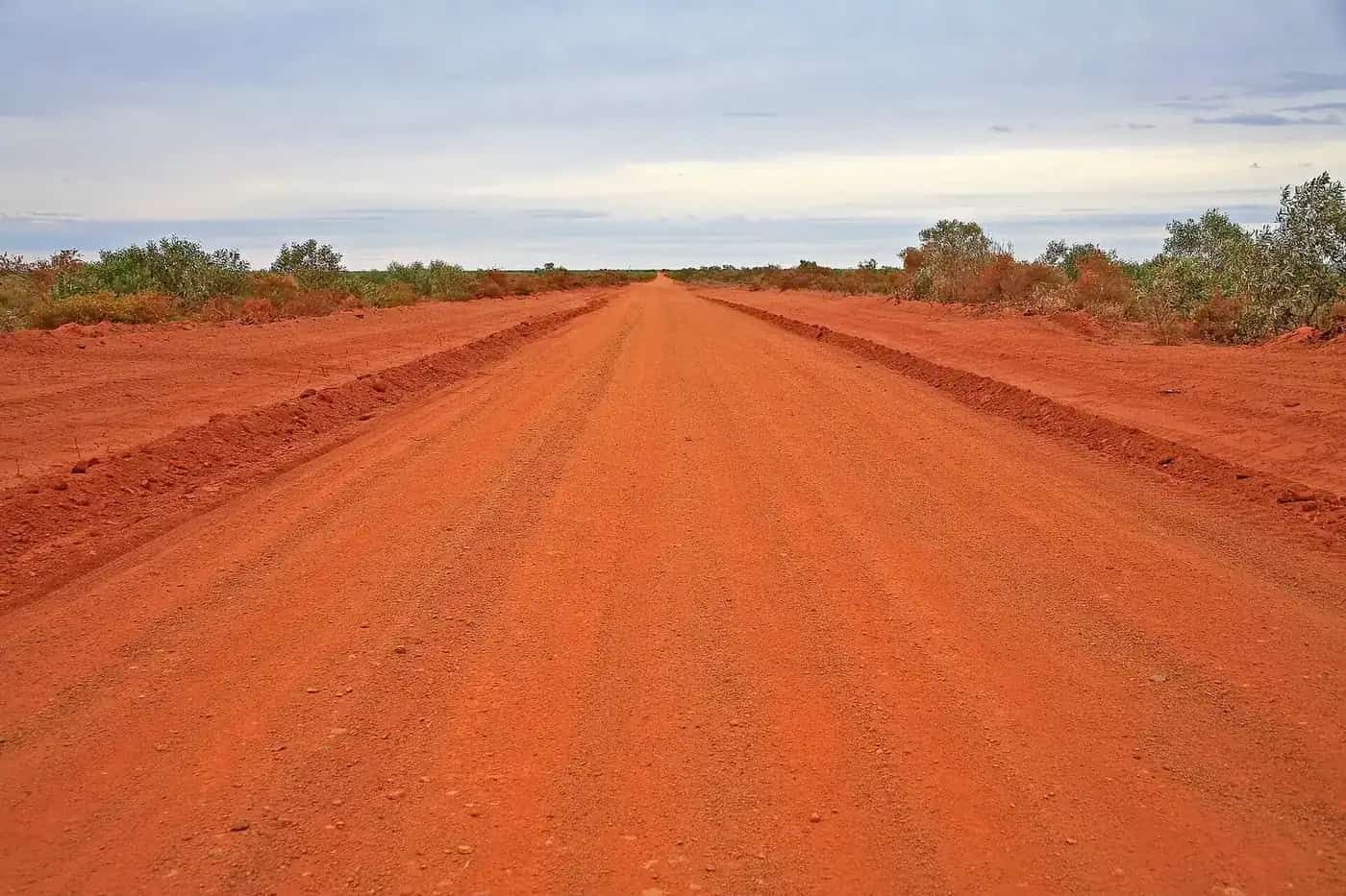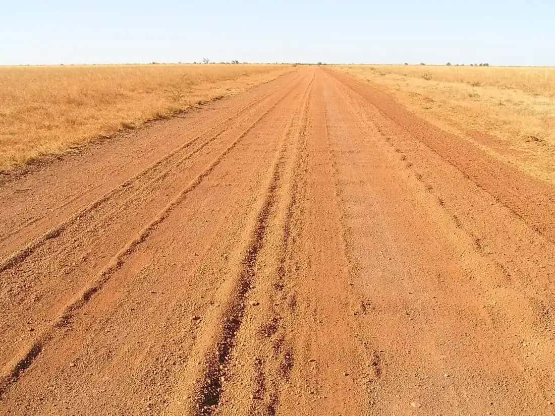
Cape York Peninsula is remote, tropical savannah country, rather than red desert, but the trip shares everything that defines outback travel: huge distances, unsealed roads, river crossings, few services, and the need to be self-reliant. For many 4WD travellers, standing at the tip of the continent is a bucket-list moment.
The route
The main route north is the Peninsula Developmental Road (PDR):
- From Cairns via Mareeba, or from Cooktown, to Lakeland.
- North on the PDR, sealed to Laura, then unsealed through to Coen and beyond.
- Continue north on the PDR and its northern extensions, or take the Old Telegraph Track.
- Cross the Jardine River by ferry.
- On to Bamaga, the Northern Peninsula Area communities and the Tip.
Sealing works continue in sections, so conditions change from year to year. Check QLDTraffic before you go.
The Old Telegraph Track
The Old Telegraph Track (OTT) follows the route of the historic Overland Telegraph Line across creeks such as Gunshot, Palm and Nolan's. It's famous for steep, rutted crossings and deep water.
- It's unmaintained and needs an experienced driver in a well-equipped, high-clearance 4WD.
- It's not suitable for caravans or trailers.
- Use the bypass roads if you're towing or inexperienced.
- Travel with another vehicle, and check crossings on foot only where it's safe from crocodiles.
The Jardine River ferry
The Jardine River can't be safely forded, so most travellers use the Jardine River ferry, run by the Northern Peninsula Area Regional Council (NPARC). For 2026, NPARC lists these hours:
- 1 May to 31 October: 7 am to 6 pm daily.
- 1 November to 30 April: 8 am to 5 pm.
The ferry can't run outside these hours. In the busy May–October period, delays can be significant, so arrive by 4 pm. Crew sometimes take a break between noon and 1 pm. NPARC also notes that fuel isn't currently available at the ferry service station. The next fuel is about 50 km north, at Injinoo, Seisia or Bamaga. Tickets and Jardine River camping can be paid online. Fares are in NPARC's fees and charges document. While the ferry is crossing, engines must be off and everyone must stay in their vehicles.
Camping and permits
- National parks: camping in parks such as Apudthama National Park (CYPAL) needs a camping permit booked online in advance. Self-registration isn't available, and there's no mobile coverage on site.
- Aboriginal land: some areas have their own permits and alcohol restrictions. Respect signs and community rules.
- Bush camping: camp only where permitted, and keep well away from the water's edge because of crocodiles.
See outback camping and visiting Country respectfully.
Best time to go
The dry season, roughly June to November, is the usual travel window. Roads open progressively as they dry out after the wet season.
- June–July: green country and flowing creeks, but some crossings can be deep.
- August–September: popular, with drier roads and busy campgrounds.
- October–November: hot and dusty, with storms possible as the wet approaches.
During the wet season (roughly December to April), many roads close. See wet season and road closures.
Fuel and supplies
Fuel is available at roadhouses and communities along the route, including Laura, Coen and the Northern Peninsula Area, but distances are long and prices are higher. Opening hours vary. Carry a reserve, and stock up in Cairns or Mareeba. See fuel, permits and road conditions.
Vehicle preparation
- A high-clearance 4WD with all-terrain tyres.
- Two spare tyres, a compressor and a repair kit.
- Recovery gear and the skills to use it. See 4WD recovery.
- A snorkel for water crossings, and knowledge of safe crossing techniques.
- Off-road-rated trailers or campers, if towing on bypass roads.
See 4WD driving.
Crocodile safety
Estuarine crocodiles live throughout Cape York's rivers, creeks, swamps, beaches and coastal waters. Never swim, don't clean fish or prepare food at the water's edge, and camp well back from the water. Take care around boat ramps and crossings.
Safety and communication
- Mobile coverage is very limited. Carry a satellite communication device or a PLB.
- Tell someone your plans.
- Medical services are limited and far apart. Carry a well-stocked first aid kit.
See remote area travel safety.
Related guides
Nearby park guide: Rinyirru (Lakefield).
Frequently asked questions
What is the best time to drive to Cape York?
The dry season, roughly June to November, is the usual travel window. Roads often open progressively after the wet season. Early in the season, creek crossings can be deep, and later it becomes hot and dusty. Check Queensland road and park conditions before you go.
Do you need a 4WD for Cape York?
The Peninsula Developmental Road is sealed to Laura, with long unsealed sections beyond. A high-clearance 4WD is strongly recommended. The Old Telegraph Track is unmaintained and needs an experienced driver in a well-equipped 4WD. It isn't suitable for caravans.
How much does the Jardine River ferry cost?
Fares are set by the Northern Peninsula Area Regional Council and published in its fees and charges document. In 2026, the ferry runs 7 am to 6 pm daily from 1 May to 31 October, and NPARC asks travellers to arrive by 4 pm in the busy season.
Do you need a permit to camp on Cape York?
Camping in national parks such as Apudthama requires a camping permit booked in advance online, as self-registration isn't available. Some Aboriginal land and communities have their own permit and alcohol rules. Check before you go.
Is it safe to swim on Cape York?
Estuarine crocodiles live in rivers, creeks, swamps, beaches and the sea throughout Cape York. Never swim in or camp close to the water's edge, and take care at crossings. Be crocwise.
Sources and further reading
Facts on this page were checked against these primary and official sources. Conditions change — confirm before you travel or buy.
- Jardine Ferry — Northern Peninsula Area Regional Council
- Apudthama National Park (CYPAL) camping — Queensland Government
- Apudthama National Park visiting safely — Queensland Government
- QLDTraffic — Queensland Government