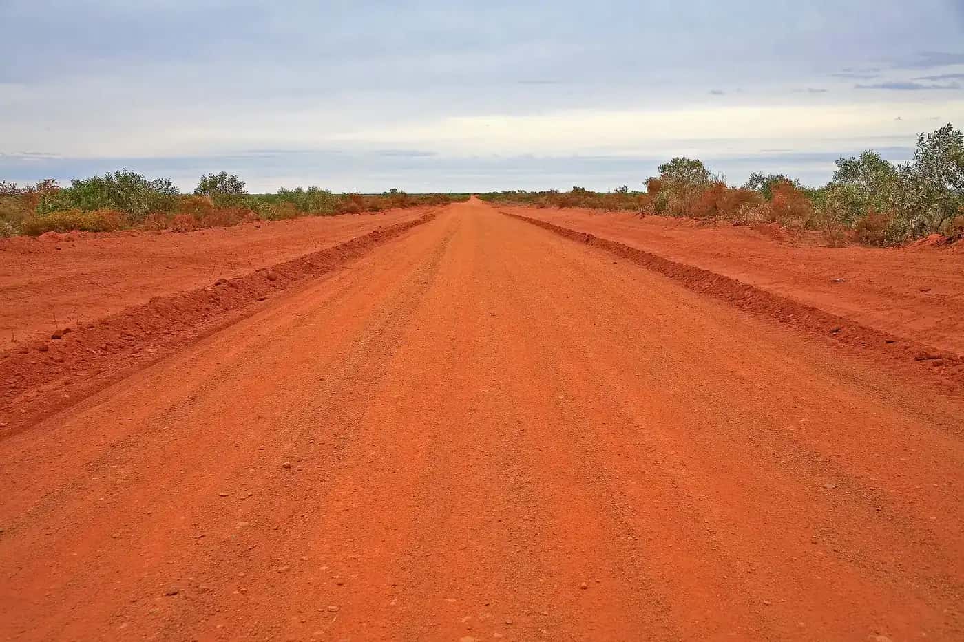
Australians use "the outback" loosely for the remote country beyond the farming belt, but for a traveller the differences between regions matter more than the label. The Kimberley has a monsoon wet season that closes roads for months. The Channel Country can be cut off by floodwater that fell hundreds of kilometres away. Corner Country is cold on winter nights. These pages break the outback into the travel regions people actually plan trips around.
Start here
New to the outback? These links will help you narrow down where to go:
- Iconic first trip: the Red Centre, with Uluru-Kata Tjuta, the West MacDonnell Ranges and Alice Springs.
- Gorges and big wilderness: the Kimberley and the Pilbara, which are best visited in the dry season.
- Remote desert driving: the Channel Country and Corner Country, reached by tracks such as the Birdsville and Strzelecki.
- Fishing and savannah: the Gulf Country, on the Savannah Way.
Seasons vary a great deal between regions, so check our best time to visit guide before you lock in dates.
What counts as the outback?
There's no legal boundary. The closest official measure is the Australian Bureau of Statistics' Remoteness Areas classification, which sorts the country by road distance to service towns. Its most remote category, Very Remote Australia, covers the great majority of the continent's land area but is home to well under 1% of Australians. For more on the definition and a map-style overview, see Where is the outback?.
The regions at a glance
| Region | States | Character | Best season (general guide) |
|---|---|---|---|
| Red Centre | NT | Desert ranges, Uluru, Kata Tjuta, Kings Canyon | About April to September |
| Kimberley | WA | Tropical gorges, waterfalls, boab country, Gibb River Road | Dry season, about May to October |
| Pilbara | WA | Ancient red ranges, Karijini gorges, mining towns | About April to September |
| Channel Country | Qld, SA | Braided rivers, gibber plains, Birdsville | About April to September |
| Gulf Country | Qld, NT | Savanna, barramundi rivers, Gulf of Carpentaria | Dry season, about May to October |
| Corner Country | NSW | Gibber and dunes where three states meet | About April to October |
The seasons in the table are a general guide only. Conditions vary from year to year, so always check the Bureau of Meteorology forecast and the official road reports before you go. Month-by-month averages for key towns are in our outback weather by month guide.
Tropical north or arid interior?
The single biggest planning question is which climate zone you're heading into.
- The tropical north includes the Kimberley, the Top End and the Gulf Country. It has a wet season of roughly November to April, with heavy rain, high humidity and cyclone risk, and many unsealed roads and park areas close. The dry season is the main touring season.
- The arid and semi-arid interior includes the Red Centre, the Channel Country, Corner Country, outback SA and the Goldfields. Here the main issue is heat. Summers can be dangerously hot, while winter days are mild and nights can be close to freezing.
Rain in the arid zone is irregular but important. A big wet season in north Queensland can send water down the Diamantina, Georgina and Cooper Creek for months, filling Kati Thanda-Lake Eyre and cutting roads like the Birdsville Track long after the rain has stopped.
Choosing a region for your trip
- First trip, limited time: the Red Centre has sealed roads to Uluru, Kata Tjuta and Kings Canyon, plus flights into Alice Springs and Yulara. Our Uluru itinerary covers how many days you need.
- Gorges and swimming holes: the Kimberley and the Pilbara, visited in the cooler, drier months.
- Classic remote driving: the Channel Country and Corner Country, with tracks like the Birdsville and Strzelecki.
- Fishing and the tropics: the Gulf Country, with Karumba, Burketown and the Savannah Way.
- History and towns on sealed roads: central-west Queensland along the Matilda Way, with Longreach, Winton and Barcaldine.
Other outback regions on Outback Now
The six regional guides above are only part of the picture. These state guides cover the rest of the outback:
- Outback South Australia: the Flinders Ranges, the opal towns of Coober Pedy and Andamooka, and the Oodnadatta, Birdsville and Strzelecki tracks. See outback South Australia and Ikara-Flinders Ranges National Park.
- Western Australia's Goldfields: Kalgoorlie-Boulder, Coolgardie and Leonora, along with the heritage towns of the 1890s gold rushes. See outback Western Australia.
- The Top End and Katherine region: Nitmiluk Gorge, the Mataranka thermal pools and the Stuart Highway's historic stops. See outback Northern Territory.
- Central-west and south-west Queensland: the Matilda Way towns, bore baths and dinosaur country. See outback Queensland.
- Far west NSW: Broken Hill, Silverton, Menindee and the Darling River towns. See outback New South Wales.
How regions connect by road
Several long-distance routes link the regions, so a big trip can take in more than one:
- The Stuart Highway runs north–south through outback SA and the Red Centre to the Top End.
- The Savannah Way crosses the tropical north from Cairns through the Gulf Country towards the Kimberley. See the Savannah Way.
- The Matilda Way runs through central-west Queensland from Cunnamulla to Karumba on the Gulf. See Matilda Way.
- The Great Northern Highway links Perth with the Pilbara and the Kimberley. See Perth to Darwin.
- The Plenty Highway, part of the Outback Way, links Central Australia with western Queensland. See Plenty Highway.
Planning across regions
Distances between regions are huge, so most people pick one or two per trip. Our one-week and two-week itinerary guides show realistic combinations. Before any trip, read the outback safety guide, choose a suitable vehicle and check fuel, permits and road conditions.
Respecting Country
Every outback region is Aboriginal Country, and much of it is Aboriginal-owned or jointly managed. Some roads and communities require permits, and some sites can't be photographed. See visiting Country respectfully before you go.
Featured guides
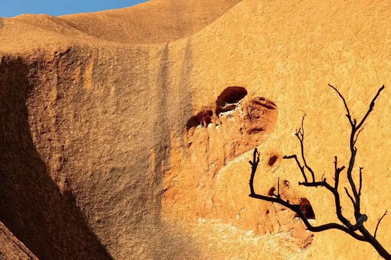
Outback regions · Northern Territory
The Red Centre
Plan a Red Centre trip: Alice Springs, the West MacDonnell Ranges, Kings Canyon, Uluru and Kata Tjuta. Seasons from BOM data, how long to spend, the Mereenie Loop permit and driving tips.
Read · 5 min
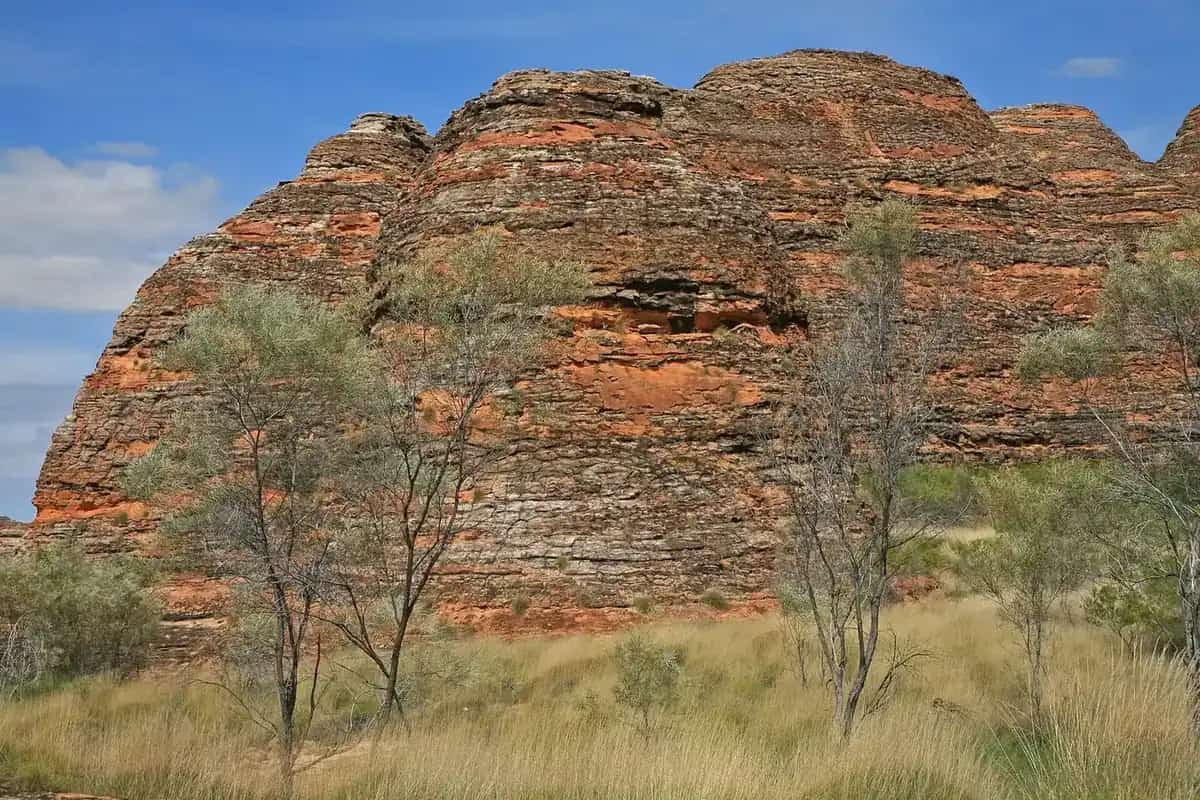
Outback regions · Western Australia
The Kimberley
Plan a Kimberley trip: Broome, the Gibb River Road, Purnululu, Kununurra and Lake Argyle. The dry and wet seasons from BOM data, how many days you need, and road and crocodile safety.
Read · 5 min
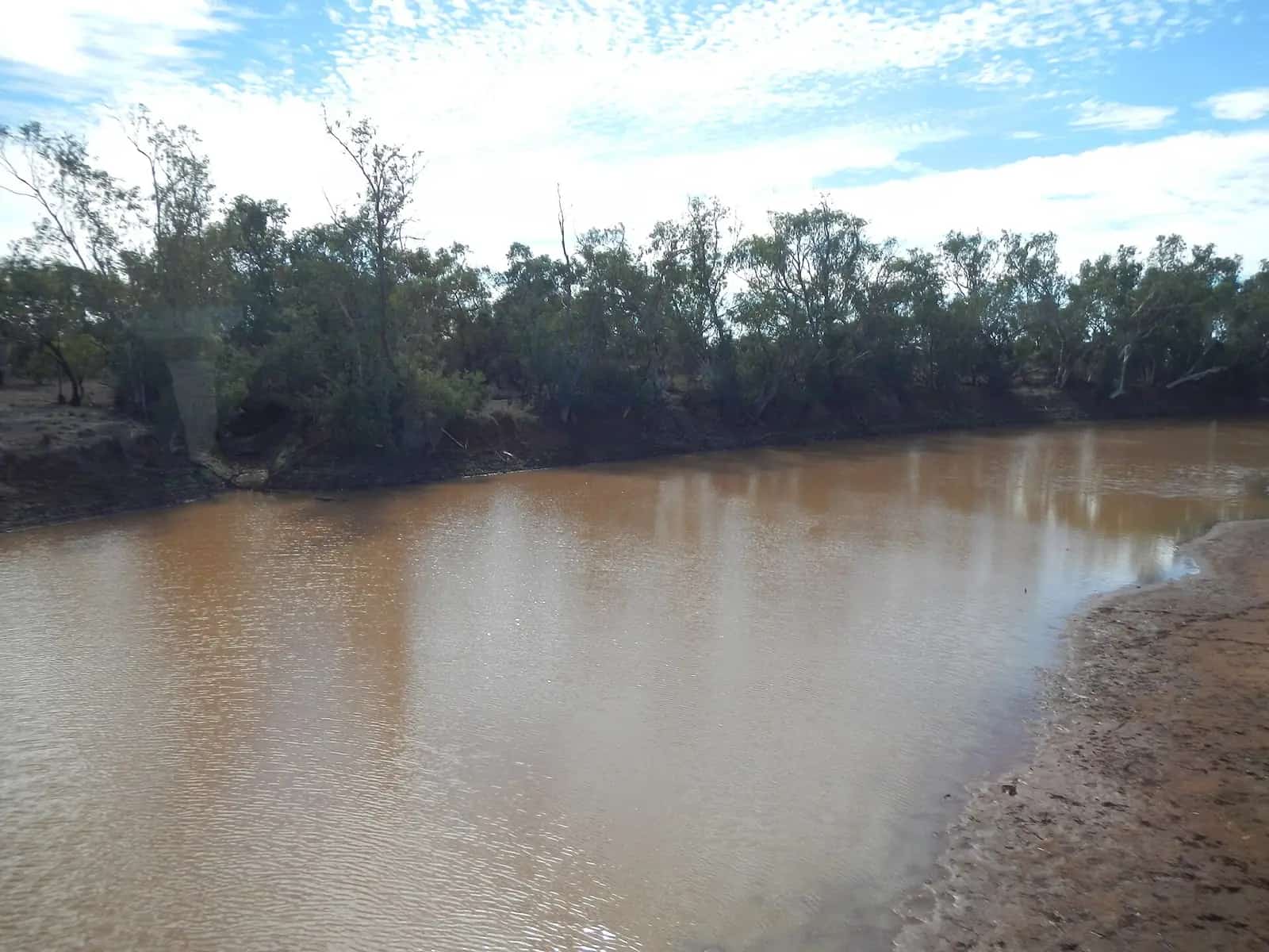
Outback regions · Queensland & South Australia
The Channel Country
Channel Country guide for south-west Queensland and north-east South Australia: why it's called the Channel Country, its towns (Birdsville, Bedourie, Windorah, Boulia and more), floods and road access.
Read · 5 min
Outback regions · New South Wales
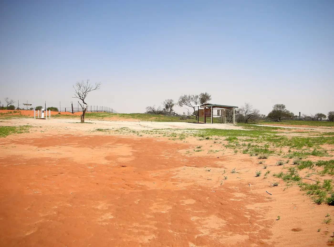
Corner Country
Corner Country guide for far north-west NSW: Tibooburra, Milparinka, Cameron Corner, Sturt National Park and the Sturt's Steps touring route. Distances, fuel, BOM weather and road conditions.
Read · 5 min
Outback regions · Queensland & Northern Territory
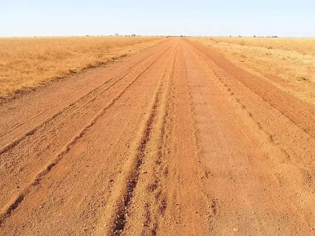
The Gulf Country
Gulf Country (Gulf Savannah) guide: why it's called the Gulf Country, the towns of Normanton, Karumba, Burketown and Croydon, barramundi fishing, the Morning Glory, the wet and dry seasons, and road access.
Read · 5 min
Outback regions · Western Australia
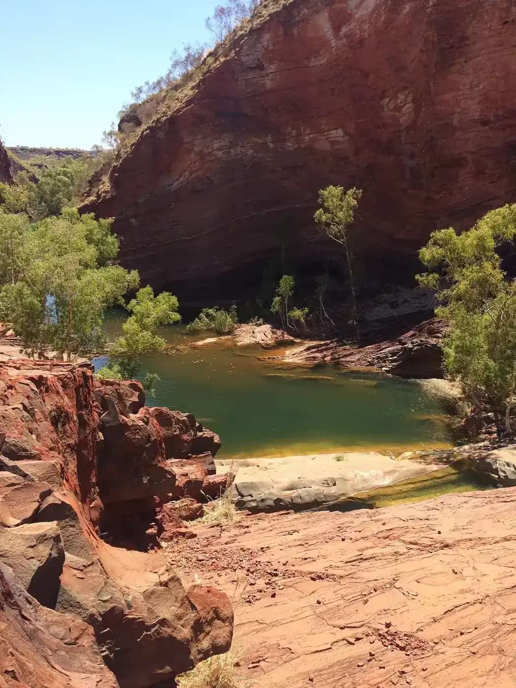
The Pilbara
Pilbara travel guide: where the Pilbara is, how far it is from Perth, Karijini and Millstream-Chichester national parks, Murujuga rock art, the mining towns, and the best time to go based on BOM data.
Read · 5 min
Guides in this section
Outback regions · Northern Territory
The Red Centre
Plan a Red Centre trip: Alice Springs, the West MacDonnell Ranges, Kings Canyon, Uluru and Kata Tjuta. Seasons from BOM data, how long to spend, the Mereenie Loop permit and driving tips.
Read · 5 min
Outback regions · Western Australia
The Kimberley
Plan a Kimberley trip: Broome, the Gibb River Road, Purnululu, Kununurra and Lake Argyle. The dry and wet seasons from BOM data, how many days you need, and road and crocodile safety.
Read · 5 min
Outback regions · Western Australia
The Pilbara
Pilbara travel guide: where the Pilbara is, how far it is from Perth, Karijini and Millstream-Chichester national parks, Murujuga rock art, the mining towns, and the best time to go based on BOM data.
Read · 5 min
Outback regions · Queensland & South Australia
The Channel Country
Channel Country guide for south-west Queensland and north-east South Australia: why it's called the Channel Country, its towns (Birdsville, Bedourie, Windorah, Boulia and more), floods and road access.
Read · 5 min
Outback regions · Queensland & Northern Territory
The Gulf Country
Gulf Country (Gulf Savannah) guide: why it's called the Gulf Country, the towns of Normanton, Karumba, Burketown and Croydon, barramundi fishing, the Morning Glory, the wet and dry seasons, and road access.
Read · 5 min
Outback regions · New South Wales
Corner Country
Corner Country guide for far north-west NSW: Tibooburra, Milparinka, Cameron Corner, Sturt National Park and the Sturt's Steps touring route. Distances, fuel, BOM weather and road conditions.
Read · 5 min
Frequently asked questions
Where is the outback located?
The outback isn't a formal boundary. It's the common name for Australia's remote, sparsely settled interior and north, which covers large parts of Western Australia, the Northern Territory, South Australia, Queensland and western New South Wales. The Australian Bureau of Statistics' remoteness classification is the closest official measure: its 'Very Remote' category covers most of the continent's land area but a very small share of the population.
What are the main outback regions to visit?
The best-known travel regions are the Red Centre around Alice Springs and Uluru, the Kimberley and Pilbara in Western Australia's north, the Channel Country and Gulf Country in Queensland, the Flinders Ranges and Oodnadatta Track country in South Australia, and Corner Country in far north-west New South Wales.
What are some popular outback towns in Australia?
Popular bases include Alice Springs, Broken Hill, Coober Pedy, Longreach, Winton, Birdsville, Mount Isa, Broome, Kununurra and Kalgoorlie-Boulder. Our outback towns hub covers more than 70 towns.
Which outback region is best for a first trip?
Many first-time visitors start with the Red Centre or the Flinders Ranges, because sealed roads reach the main sights and services are better than in the more remote regions. The Kimberley and Channel Country reward experience and a well-prepared vehicle.
What is the most famous outback town?
There's no official ranking. Alice Springs, Broken Hill, Coober Pedy and Birdsville are among the best-known outback towns, and each has a full guide in our towns directory.
What is the biggest town in the outback?
It depends on where you draw the line around the outback and how the town area is counted. Alice Springs, Mount Isa, Kalgoorlie-Boulder and Broken Hill are among the largest outback centres. For current populations, check the ABS Census QuickStats for each town.
Sources and further reading
Facts on this page were checked against these primary and official sources. Conditions change — confirm before you travel or buy.
- Remoteness Areas — Australian Bureau of Statistics
- Kimberley & Pilbara seasons — Australia's North West
- Climate statistics for Australian locations — Bureau of Meteorology