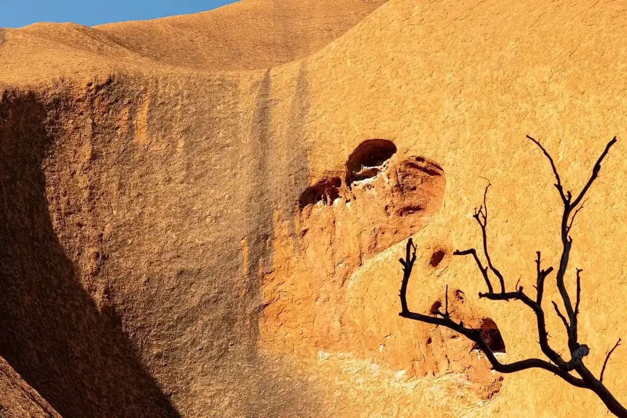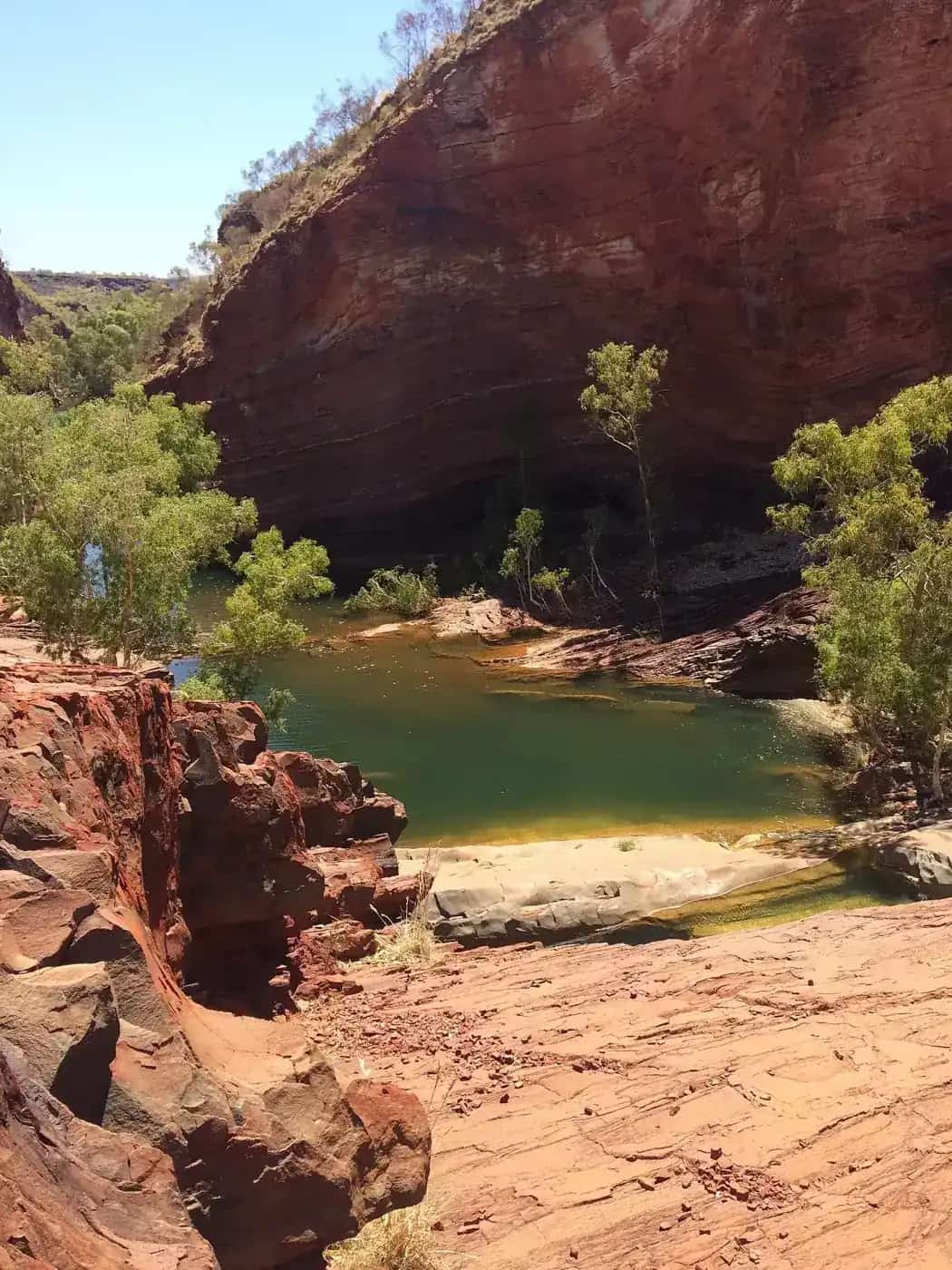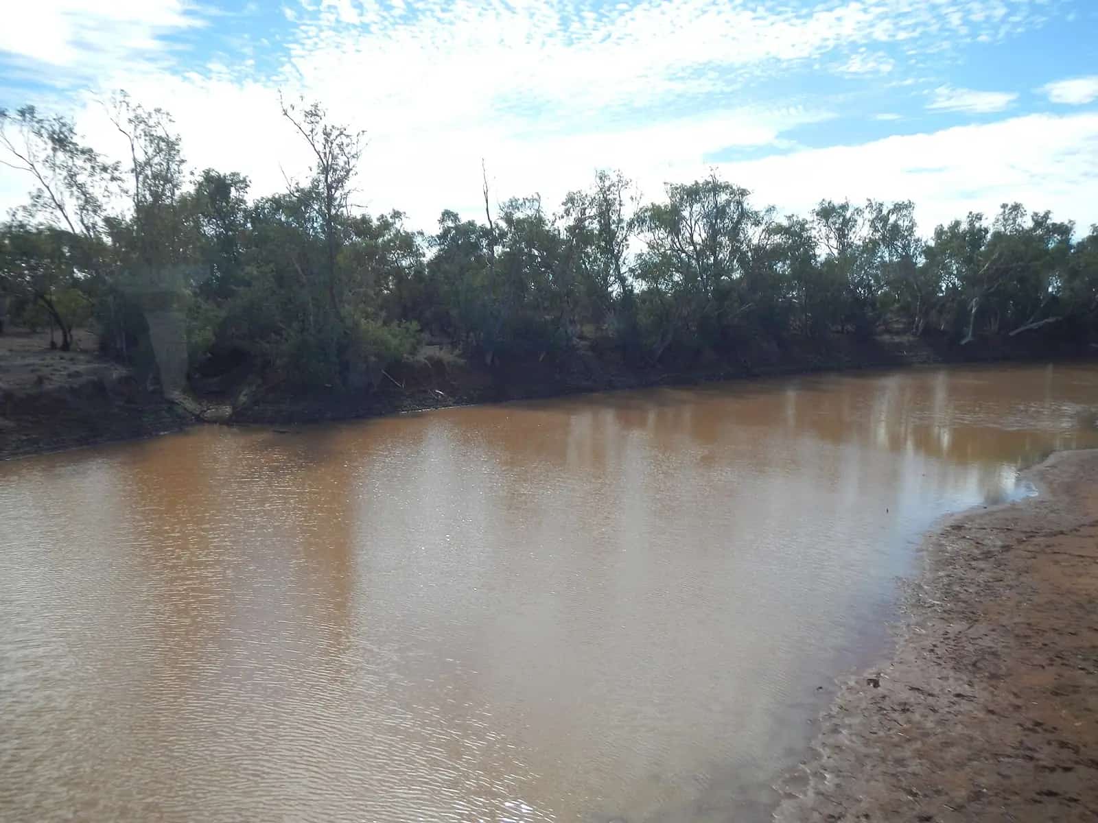
The Kimberley covers a huge area of Western Australia's north, roughly bounded by the Indian Ocean, the Timor Sea and the Northern Territory border. It's sparsely populated and very seasonal, and much of it is Aboriginal land with an extremely long cultural history. Rock art in the region, including Gwion Gwion and Wandjina paintings, is among the most significant in Australia.
Towns and gateways
- Broome is the western gateway, with Cable Beach, a pearling history and flights to Perth and other cities. North of town, the Dampier Peninsula is Bardi Jawi and Nyul Nyul Country, with Aboriginal-run camps and tours.
- Derby, on King Sound, is known for very large tides and is the western end of the Gibb River Road.
- Fitzroy Crossing sits on the Great Northern Highway near Danggu Geikie Gorge.
- Halls Creek is the gateway to Wolfe Creek Crater and the Tanami Road, and is on the way to Purnululu.
- Kununurra is the eastern gateway, beside the Ord River, Lake Argyle and Mirima National Park.
- Wyndham, near the Cambridge Gulf, has the Five Rivers Lookout.
Highlights
The Gibb River Road
The Gibb River Road crosses about 660 km of the Kimberley between Derby and the Great Northern Highway near Kununurra and Wyndham. Along the way are gorges such as Windjana, Bell, Manning and Galvans, and station stays like Home Valley and El Questro. It's unsealed for much of its length and has river crossings, and it's generally open only in the dry season. See our full Gibb River Road guide and the Kimberley road trip itineraries.
Purnululu National Park
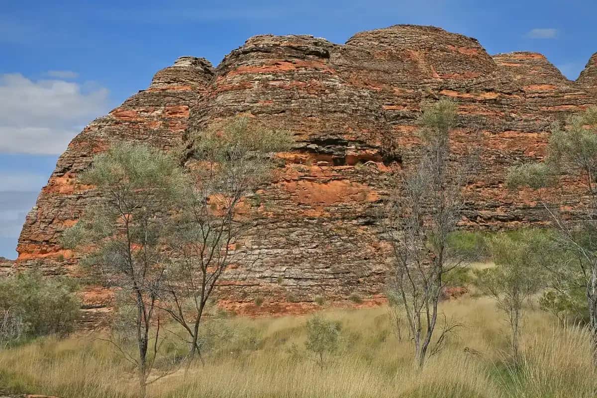
Purnululu's Bungle Bungle Range of striped sandstone domes is World Heritage-listed. Access is by a rough 4WD track from the Great Northern Highway, or by scenic flight from Kununurra, Warmun or Halls Creek. See the Purnululu guide.
Mitchell Falls
Mitchell Falls (Punamii-unpuu) is in Mitchell River National Park on the remote Mitchell Plateau, reached via the Kalumburu Road. The area is in Wunambal Gaambera Country, and visitors need a Uunguu Visitor Pass. Many people see the falls on a helicopter flight from the camping area.
Lake Argyle and the Ord River
Lake Argyle, created by damming the Ord River, is one of Australia's largest artificial lakes. Boat cruises run from Kununurra and the lake. Mirima National Park, on the edge of Kununurra, has short walks through banded sandstone formations similar to the Bungle Bungles.
Danggu Geikie Gorge and Wolfe Creek
Near Fitzroy Crossing, Danggu Geikie Gorge is a limestone gorge on the Fitzroy River, and boat tours have operated there in the dry season. South of Halls Creek, Wolfe Creek Crater is one of the world's best-preserved meteorite craters, reached by an unsealed road.
Aboriginal art and culture
The Kimberley has a strong art movement, and many art centres are Aboriginal-owned. Well-known examples include Mowanjum Art and Culture Centre near Derby, Waringarri Aboriginal Arts in Kununurra and Warmun Art Centre on the Great Northern Highway. On the Dampier Peninsula and elsewhere, Aboriginal-run tours offer ways to learn about Country directly from Traditional Owners. Check opening hours before you visit, because they change with the seasons. Our guides to Aboriginal-led experiences and buying Aboriginal art ethically have more.
Getting there
- Fly: Broome and Kununurra both have airports with flights from Perth, and from Darwin and other cities at some times of year. Flying into one town and out of the other is a popular way to avoid backtracking.
- Drive: the sealed Great Northern Highway links Perth, the Pilbara and the Kimberley, and continues to the Northern Territory via the Victoria Highway. See our Perth to Darwin guide.
- Hire vehicles: 4WD campervans and vehicles can be hired in Broome and Kununurra. Check whether your hire agreement allows unsealed roads such as the Gibb River Road, because many standard agreements don't.
Weather: the wet and the dry
Bureau of Meteorology long-term averages for Kununurra Aero show how sharply the year divides.
| Month | Mean max (°C) | Mean min (°C) | Mean rain (mm) |
|---|---|---|---|
| January | 35.9 | 25.1 | 216.0 |
| April | 35.4 | 21.7 | 32.1 |
| July | 30.8 | 14.7 | 1.4 |
| October | 39.0 | 23.4 | 22.2 |
| November | 39.1 | 25.1 | 61.6 |
Source: BOM climate statistics for Kununurra Aero (002056). Averages hide big variations between years.
Almost all the rain falls in the wet season, roughly November to April. That brings storms, flooding and cyclone risk, along with high humidity. The dry season, roughly May to October, has warm, clear days and cooler nights, and it's when the Gibb River Road, most national park areas and most tours operate. October and November are hot and humid, the period locals often call the build-up. More detail is in our outback weather by month guide.
How long to spend
- One week: pick one end. In the west, combine Broome with the Dampier Peninsula and Windjana Gorge. In the east, combine Kununurra, Lake Argyle, El Questro and a Purnululu scenic flight or overnight trip.
- Two weeks: drive between Broome and Kununurra, either by the Gibb River Road in a high-clearance 4WD or by the sealed Great Northern Highway via Fitzroy Crossing and Halls Creek, with side trips to Purnululu.
- Three weeks or more: add Mitchell Falls, Kalumburu or a coastal cruise.
Safety
- Crocodiles: saltwater crocodiles live in rivers, estuaries, billabongs and along the coast, and can be found well inland. Only swim where it's officially signposted as safe, and read our crocodile safety guide.
- Roads: check Main Roads WA and shire road reports daily. Unsealed roads close after rain, and some don't reopen for weeks.
- Heat and remoteness: carry plenty of water and fuel, and a satellite communicator or PLB. See remote area travel safety.
Permits and passes
WA national parks require a park pass. Some Aboriginal-managed areas need separate passes or permits, including the Uunguu Visitor Pass for the Mitchell Plateau and permits for some communities. El Questro charges its own pass. See fuel, permits and road conditions.
Related guides
- Outback regions
- The Pilbara
- Outback Western Australia
- Perth to Darwin road trip
- The Savannah Way
- Rock art sites
Related park guide: Mitchell River.
Frequently asked questions
How long do you need in the Kimberley?
Allow at least a week for one part of the region, such as Broome and the Dampier Peninsula, or Kununurra, Lake Argyle and Purnululu. Driving between Broome and Kununurra with time for gorges usually takes two weeks or more, and the Gibb River Road alone deserves at least a week.
What is the best month to visit the Kimberley?
The dry season, roughly May to October, is the main touring season. Australia's North West describes it as having warm days and most attractions and tours open. Early in the dry, waterfalls are fuller but some roads may still be closed. Late in the dry it's hotter and the falls are lower.
What is the best Kimberley tour?
That depends on your time and budget. Options include 4WD tours of the Gibb River Road, scenic flights over Purnululu and Mitchell Falls, boat tours on Lake Argyle and the Ord River, and expedition cruises along the coast. Book well ahead for the dry season.
Is the Kimberley open in the wet season?
Broome, Kununurra and the sealed Great Northern Highway generally stay accessible, but heavy rain and flooding can close roads, including sealed ones. The Gibb River Road and many national park areas typically close or are impassable during the wet. Check Main Roads WA and Parks and Wildlife Service alerts.
Sources and further reading
Facts on this page were checked against these primary and official sources. Conditions change — confirm before you travel or buy.
- Kimberley & Pilbara seasons — Australia's North West
- Kimberley region — Australia's North West
- Climate statistics for Kununurra Aero (002056) — Bureau of Meteorology
- Broome to Kununurra via the Gibb River Road — Tourism Western Australia