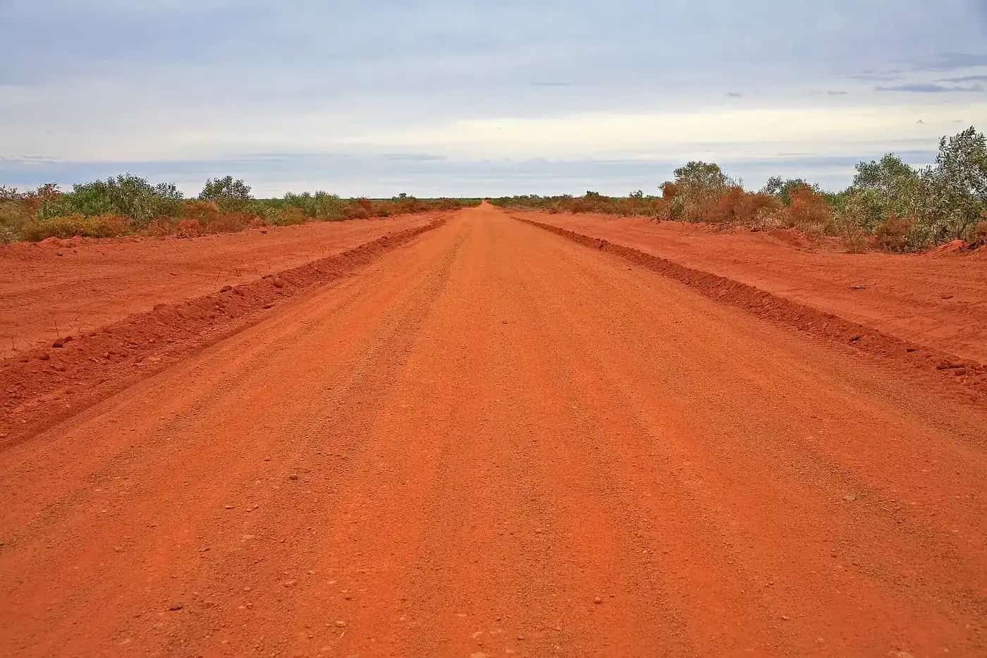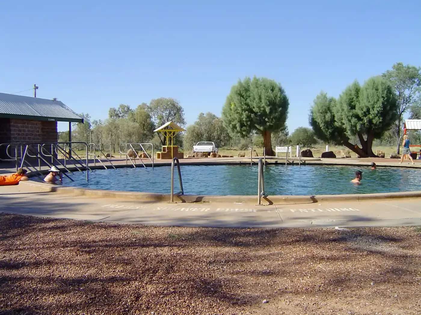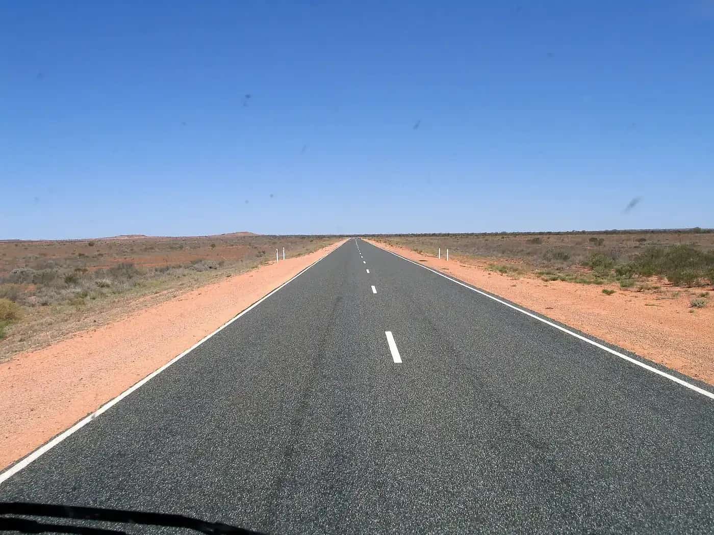
The Gibb River Road crosses the Kimberley between Derby in the west and the Great Northern Highway near Kununurra and Wyndham in the east. For the road itself (history, highlights, conditions and safety), see our Gibb River Road guide. This page is about structuring the trip. For Kimberley trips that skip the Gibb, see Kimberley road trip itineraries.
Key facts from Main Roads WA
- Length: 647 km, mainly unsealed. About 470 km between the Lennard and Pentecost rivers is unsealed.
- Grading: unsealed sections are graded three to four times a year, and a full grade can take up to two months. So conditions vary along the road.
- Season: typically open in the dry season, May to November. Often closed in the wet season, which generally runs from December to April.
- Status: check the Main Roads WA Travel Map and the status boards at each end near Derby and Kununurra. Restrictions such as "High Clearance 4WD only" may apply even when the road is open.
- Side roads: these are managed by other agencies, including the two Kimberley shires and Parks and Wildlife WA. Check them separately.
East to west or west to east?
There's no single right direction:
- West to east (Derby to Kununurra) suits travellers coming from Broome and the west coast. The western gorges (Windjana, Tunnel Creek and Bell Gorge) come first.
- East to west (Kununurra to Derby) suits travellers arriving from Darwin or Katherine on the Victoria Highway. El Questro and the Pentecost River crossing come first.
Main Roads WA notes that the best time to travel is early in the dry season, when rivers and waterfalls may still be flowing. At that time, some sections or side roads may open later than others, so check the status before choosing your start.
10-day itinerary (west to east)
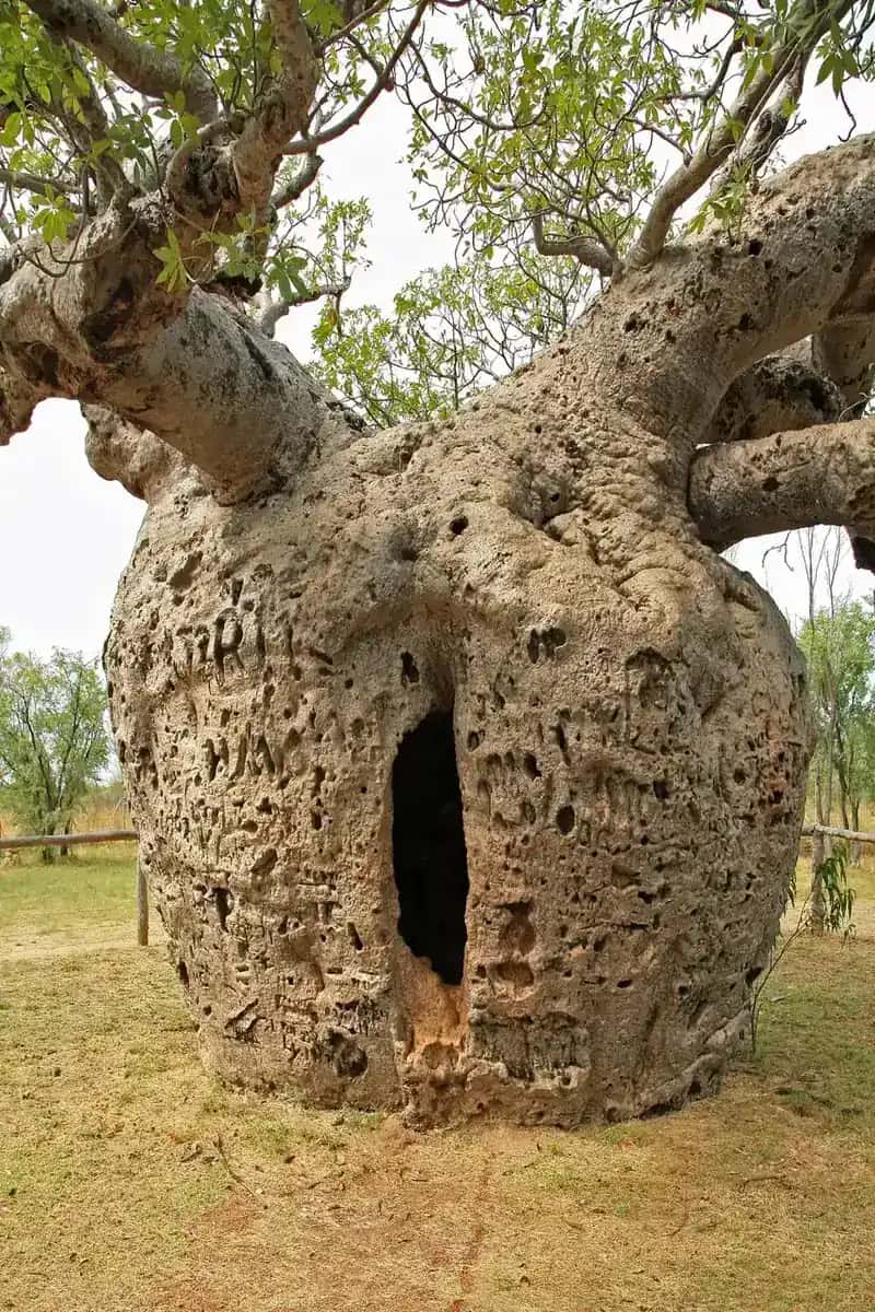
Day 1: Derby, with the Boab Prison Tree and jetty. Stock up and fill up. Days 2–3: Windjana Gorge and Tunnel Creek (check side-road status). Camp nearby. Day 4: Bell Gorge for a swim, if open. Days 5–6: Mount Barnett, Manning Gorge and Galvans Gorge. Day 7: A long drive east toward the Pentecost River. Days 8–9: Home Valley and El Questro gorges and hot springs (passes apply). Day 10: Into Kununurra or Wyndham.
14-day itinerary (add Mitchell Falls)
Follow the 10-day plan to Mount Barnett, then:
Days 7–10: Head north on the Kalumburu Road to the Mitchell Plateau and Mitchell Falls (Punamii-unpuu). A Uunguu Visitor Pass is required. The Kalumburu Road is rough and corrugated and is managed separately, so check its status. It isn't recommended for trailers. Days 11–13: Return to the Gibb, then continue east to the Pentecost River, Home Valley and El Questro. Day 14: Kununurra.
21-day itinerary (Broome to Kununurra with the Bungle Bungles)
Days 1–2: Broome. Day 3: Broome to Derby. Days 4–16: The 14-day Gibb itinerary above, with spare days for rest, weather or punctures. Days 17–18: Kununurra, Lake Argyle and Mirima National Park. Days 19–21: Purnululu National Park (the Bungle Bungles), via the Great Northern Highway and the 4WD access road. Parks and Wildlife WA campgrounds at Purnululu, such as Kurrajong and Walardi, must be booked through Park Stay WA. They can only be booked for the tourist season (May to September), and bookings open up to 180 days ahead. See Purnululu.
Fuel, food and supplies
Fuel has been available at Imintji, Mount Barnett and El Questro, as well as at the towns at each end. Hours and supplies vary. Carry enough fuel to reach the next confirmed supply, and carry food for several days. Don't count on finding fresh produce between Derby and Kununurra. See water and food planning.
Vehicle and gear
Main Roads WA recommends a larger high-clearance 4WD driven in high range. It says caravans, motorhomes and some camper trailers aren't recommended on unsealed roads. Its other tips include:
- Carry spare tyres and a portable air compressor, and adjust tyre pressure to the surface and load.
- Slow down on bends and floodway approaches, don't brake suddenly, and keep your headlights on low beam.
- Don't overtake in dust.
- Never drive through water of unknown depth. The Pentecost River crossing can rise quickly, and crocodiles may be present.
- Stay on the road. The land either side is private property even where there's no fence.
See 4WD recovery and best vehicle for the outback.
Passes and bookings
- WA park entry fees apply in Kimberley parks such as Windjana Gorge (Bandilngan), Tunnel Creek (Dimalurru), Mitchell River, Mirima and Purnululu.
- Park Stay WA: pay your entry fee when you book a campsite online. For consecutive bookings in the same park, entry is payable for the first booking only.
- Station land: El Questro, Home Valley and other stations set their own passes and fees.
How long does the Gibb take to drive?
Driving the Gibb without stopping would take only a few long days, but that misses the point. The gorges, waterholes and station stays are reached by side roads, often rough ones, and they take time. As a guide:
- 3–4 days: transit only, with little time at gorges. Not recommended.
- 7–10 days: the main gorges and a relaxed pace.
- 14 days: adds Mitchell Falls and the Kalumburu Road.
- 21 days or more: combines the Gibb with Broome, Kununurra and the Bungle Bungles.
Remember that unsealed sections are graded only three to four times a year, according to Main Roads WA. Corrugated sections can slow you to a crawl.
Getting there and away
- West end: most travellers start or finish in Broome, about two and a half hours' drive from Derby.
- East end: Kununurra connects with the Victoria Highway to Katherine and Darwin, and Wyndham is a short drive north of the Gibb's eastern junction.
- Flights: Broome and Kununurra both have regular flights, so one-way 4WD hire is possible. Check that hire agreements allow the Gibb, because many don't.
Packing for the Gibb
Bring:
- enough food for several days between supply points
- extra fuel
- at least two spare tyres
- recovery gear
- a first-aid kit
- a satellite phone or PLB
Mobile coverage is very limited along the road. See water and food planning and remote area travel safety.
Related guides
Frequently asked questions
How long should you allow for the Gibb River Road?
Ten days is a comfortable minimum to drive the road and visit the main gorges. Allow 14 days to add the Mitchell Plateau, and around 21 days to combine the Gibb with Purnululu (the Bungle Bungles), Broome and Kununurra.
Is there fuel on the Gibb River Road?
Yes, but it's limited. Fuel has been sold at places such as Imintji, Mount Barnett and El Questro, as well as at Derby, Kununurra and Wyndham at the ends. Hours and supplies vary from season to season, so carry enough fuel to reach the next confirmed supply with a margin.
What is the best vehicle for the Gibb River Road?
Main Roads WA recommends a larger high-clearance 4WD driven in high range, such as a Prado, Pajero or Hilux. It says caravans, motorhomes and some camper trailers are not recommended on unsealed roads.
Is it better to drive the Gibb east to west or west to east?
Either works. Starting in Broome or Derby suits travellers coming up the west coast, while starting in Kununurra suits those arriving from Darwin or Katherine. Early in the dry season, starting at the end that opens first can help. Check Main Roads WA's Travel Map and the status boards near Derby and Kununurra.
Sources and further reading
Facts on this page were checked against these primary and official sources. Conditions change — confirm before you travel or buy.
- Driving Gibb River Road — Main Roads Western Australia
- Main Roads WA Travel Map — Main Roads Western Australia
- Park Stay WA — Department of Biodiversity, Conservation and Attractions
- Park entry fees — Parks and Wildlife Service WA
- Kurrajong Campground, Purnululu — Parks and Wildlife Service WA