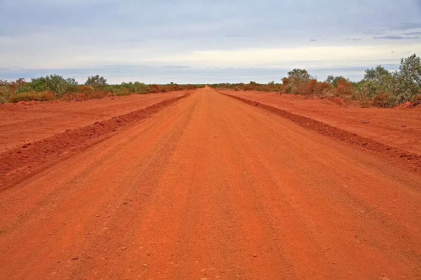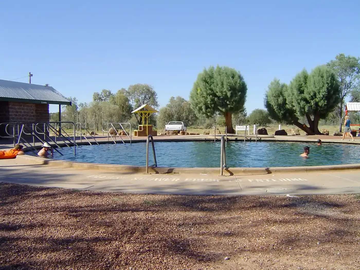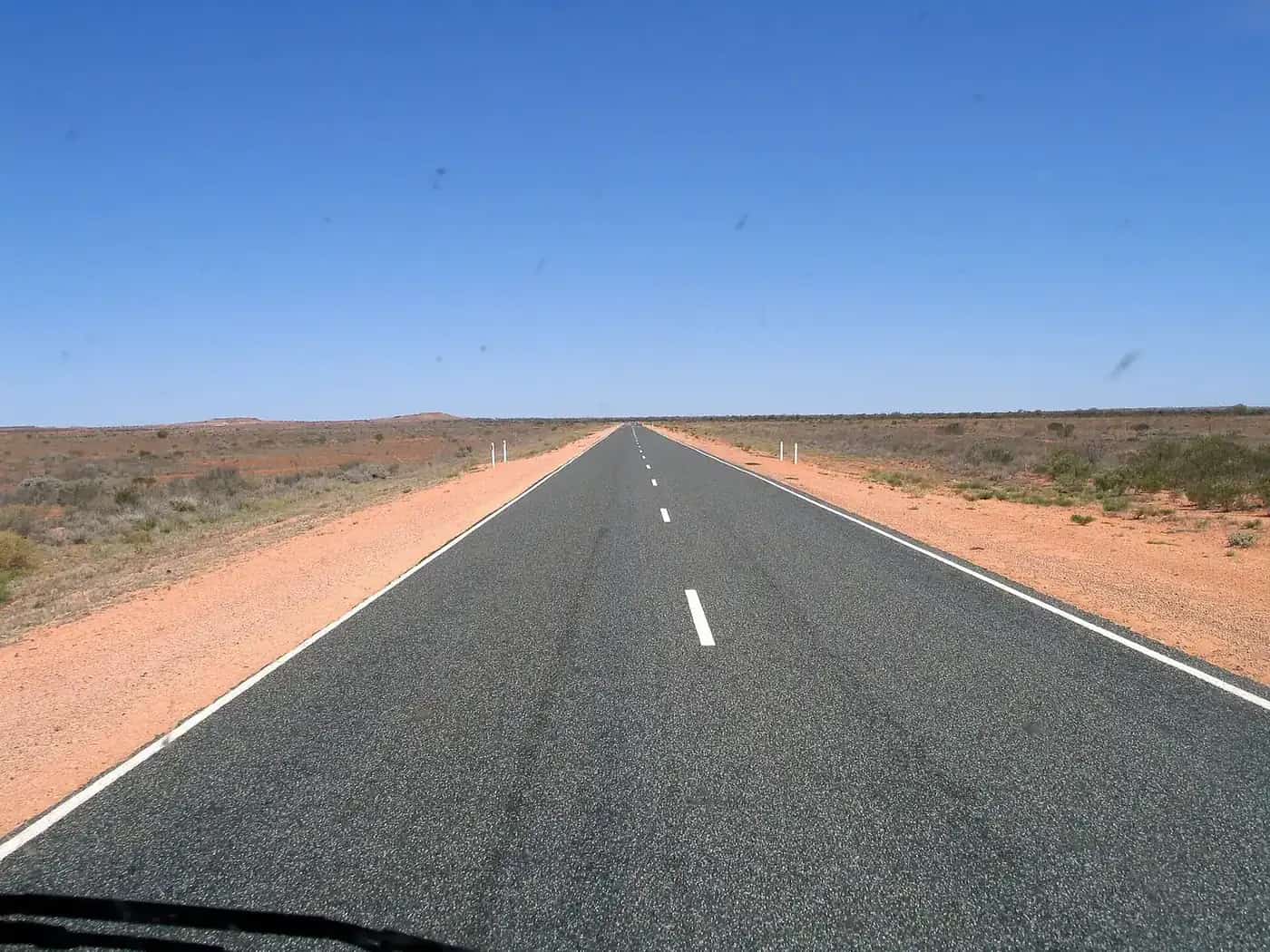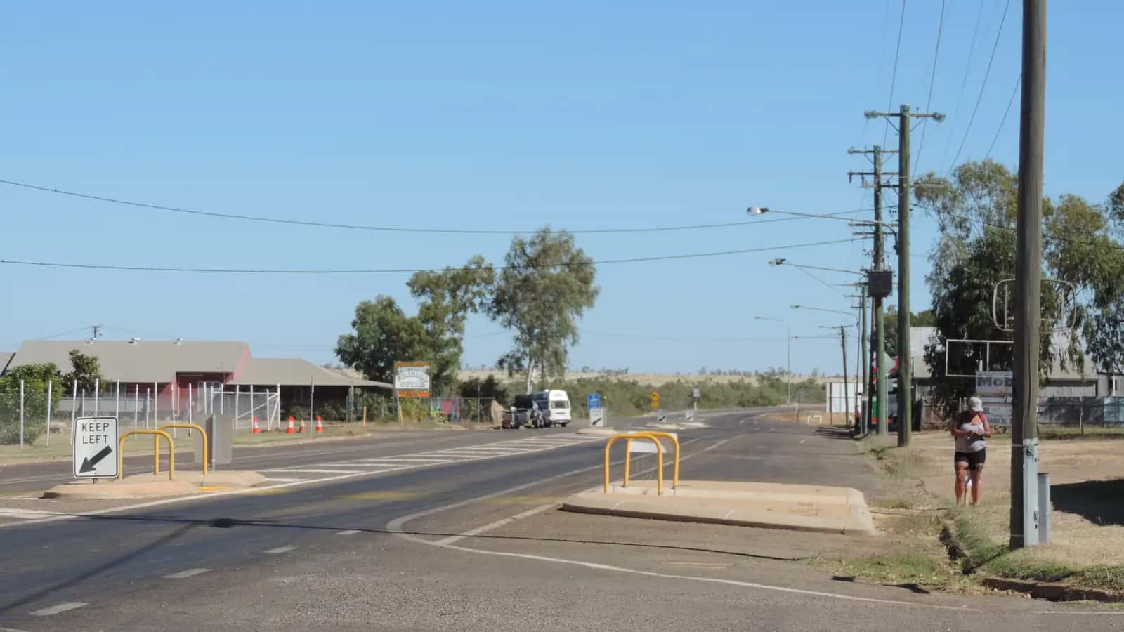
The Barkly Highway is the long east–west link between the NT's Stuart Highway and north-west Queensland. It starts at Three Ways, north of Tennant Creek, and runs east across the Barkly Tableland, past Barkly Homestead and Camooweal, to Mount Isa and then Cloncurry. It's part of many big lap routes, including Darwin to Townsville and the Red Centre to the Queensland coast.
Route and distances
| Section | Approximate distance |
|---|---|
| Three Ways to Barkly Homestead | about 190–210 km |
| Barkly Homestead to Camooweal | about 240 km |
| Camooweal to Mount Isa | about 190 km |
| Mount Isa to Cloncurry | about 120 km |
These are rough guides. Check current maps and signs.
Fuel and supplies
- Three Ways / Tennant Creek: fill up before heading east. Tennant Creek has full services.
- Barkly Homestead: Discover Central Australia describes it as the only fuel and service stop between Tennant Creek and Camooweal. It sells diesel, unleaded 91 and premium 95, and the roadhouse lists its hours as 6 am to 10 pm daily. Phone ahead to confirm.
- Camooweal: a small Queensland town with fuel and basic supplies.
- Mount Isa: full services.
Gaps are long, so fill up whenever you can and carry a reserve. See fuel, permits and road conditions.
Things to see
- The Barkly Tableland: vast open grasslands, cattle stations and huge skies. It's a remarkable landscape, especially at sunrise and sunset.
- Barkly Homestead: a classic roadhouse stop.
- Camooweal: a droving town near the NT border, with the Camooweal Caves National Park nearby. Check access conditions with Queensland Parks.
- Mount Isa: a big mining city with tours, lookouts and the Outback at Isa visitor centre. Time your visit for the Mount Isa Rodeo if you like.
- Cloncurry: a historic town at the junction with the Flinders Highway and the Matilda Way.
Time zone change
The NT and Queensland are in different time zones. Queensland is 30 minutes ahead of the NT, and neither observes daylight saving. Adjust your clock at the border.
Best time to go
The dry season, roughly May to September, brings mild days and cool nights. Summer is very hot, and the wet season can bring storms and local flooding. Check NT Road Report and QLDTraffic before travel. See outback weather by month.
Driving safety
- Road trains are common. Give them plenty of room and only overtake with a long, clear view. See road trains.
- Wildlife and stock: cattle, kangaroos and birds of prey feeding on roadkill are common, especially at dawn, dusk and night. Avoid night driving.
- Fatigue: long, straight, flat roads can be tiring. Stop regularly and share the driving.
- Heat: carry plenty of water.
- Mobile coverage is patchy between towns. Consider a satellite communication device.
See outback safety and outback road rules.
Where to stay
- Roadhouse rooms and camping at Barkly Homestead.
- Caravan parks in Tennant Creek, Camooweal, Mount Isa and Cloncurry.
- Motels and hotels in Tennant Creek, Mount Isa and Cloncurry.
- Rest areas: some allow overnight stays. Check the signs.
See caravanning in the outback.
Planning checklist
- Check roads: NT Road Report for the NT section, and QLDTraffic for Queensland.
- Fuel: fill up in Tennant Creek, then plan your next stops at Barkly Homestead and Camooweal. Carry a reserve in case a pump is out of service.
- Water and food: carry enough for at least a day longer than you expect to need, in case of breakdowns or closures.
- Communication: carry a satellite messenger or PLB, and tell someone your plans and expected arrival time.
- Vehicle: check tyres (including the spare), oil, coolant and lights before you set off. Towing a caravan increases fuel use, so allow for it.
- Time: start early, so you're off the road before dusk.
Suggested itinerary
- Day 1: Tennant Creek to Barkly Homestead, with an afternoon stop and a night at the roadhouse.
- Day 2: Barkly Homestead to Camooweal, with time to explore the town and, if conditions allow, Camooweal Caves National Park.
- Day 3: Camooweal to Mount Isa, then explore the city or continue to Cloncurry.
Faster travellers can drive Three Ways to Mount Isa in one long day, but splitting it reduces fatigue and the risk of driving at dusk.
Combine with other routes
- North or south on the Stuart Highway.
- East from Cloncurry on the Overlanders Way to Townsville, or south on the Matilda Way.
- North to the Gulf Country and the Savannah Way.
- See the outback Queensland road trip and Northern Territory road trip.
Frequently asked questions
How long is the Barkly Highway?
The highway runs about 650 km from Three Ways to Mount Isa, and continues to Cloncurry, making it roughly 750 km in total. Allow a full day or more for the drive.
Where can you get fuel on the Barkly Highway?
The main fuel stops are Barkly Homestead, roughly 200 km east of Three Ways, and Camooweal, just inside Queensland. Mount Isa has full services. Check opening hours and carry a reserve.
Is the Barkly Highway sealed?
Yes, it's sealed. Some sections are narrow, so take care when passing road trains, and watch for wildlife and stock.
Is there anything to see on the Barkly Highway?
The open grasslands of the Barkly Tableland, big skies, Camooweal's drovers' heritage and nearby Camooweal Caves National Park are highlights. Mount Isa has mine tours and the Outback at Isa centre.
Sources and further reading
Facts on this page were checked against these primary and official sources. Conditions change — confirm before you travel or buy.
- Barkly Homestead — Barkly Homestead
- Fuel on the Barkly — Discover Central Australia
- QLDTraffic — Queensland Government
- NT Road Report — Northern Territory Government