The Savannah Way is one of Australia's great adventure drives, linking Cairns in tropical north Queensland with Broome in Western Australia across the top of the continent. The route covers about 3,700 km (more with side trips) through the Gulf Country, the Top End and the Kimberley. It passes lava tubes, gold rush towns, remote fishing spots, hot springs, gorges and Aboriginal communities. It was a favourite itinerary on the original Outback Now, and it remains a bucket-list trip for well-prepared travellers.
Route overview
Cairns – Atherton Tablelands – Undara Lava Tubes – Georgetown – Croydon – Normanton – Burketown – Hells Gate – Borroloola – Roper Bar – Mataranka – Katherine – Timber Creek – Kununurra – (Gibb River Road or Great Northern Highway) – Broome.
Section by section
Cairns to Normanton
From Cairns, the route climbs to the Atherton Tablelands, then heads west through Mount Garnet and Mount Surprise to the Undara Lava Tubes, one of the longest lava tube systems in the world, explored on guided tours. Georgetown and Croydon are historic gold towns. From Normanton, detour to Karumba for Gulf sunsets and fishing. Most of this section is sealed.
Normanton to Borroloola
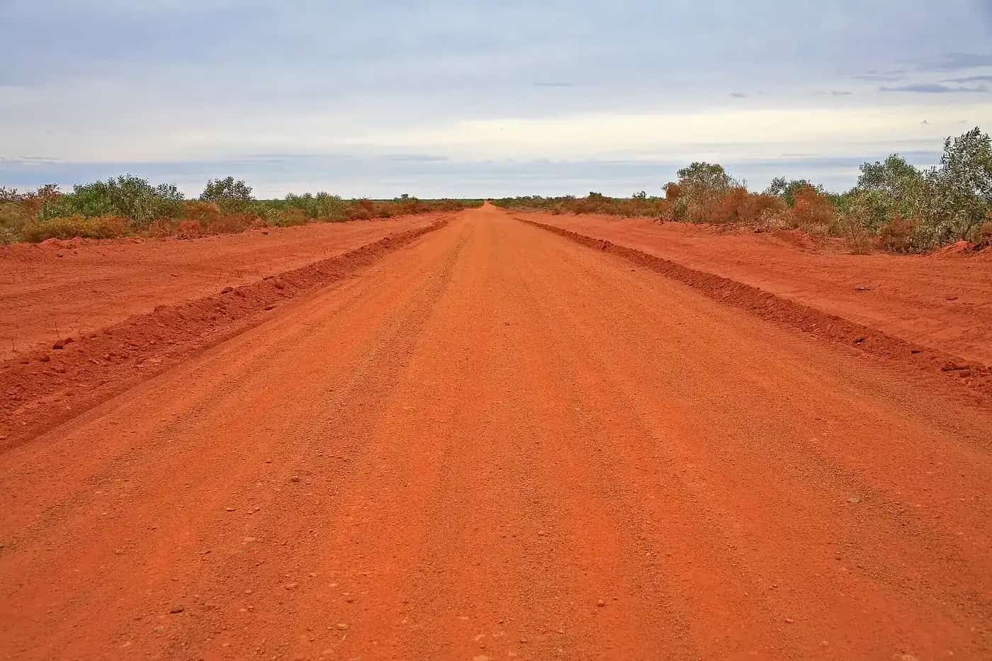
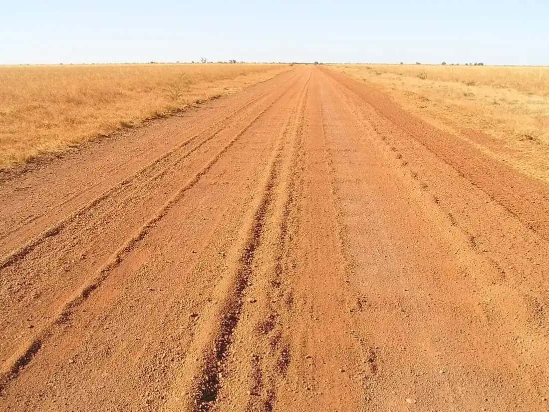
This is the most remote and challenging section. From Normanton, the road heads west to Burketown, then on to Hells Gate Roadhouse near the Northern Territory border. Much of it is unsealed, with river crossings, corrugations and bulldust. Detour south to Boodjamulla (Lawn Hill) for its emerald gorge. In the Territory, the road continues to Borroloola on the McArthur River.
Borroloola to Katherine
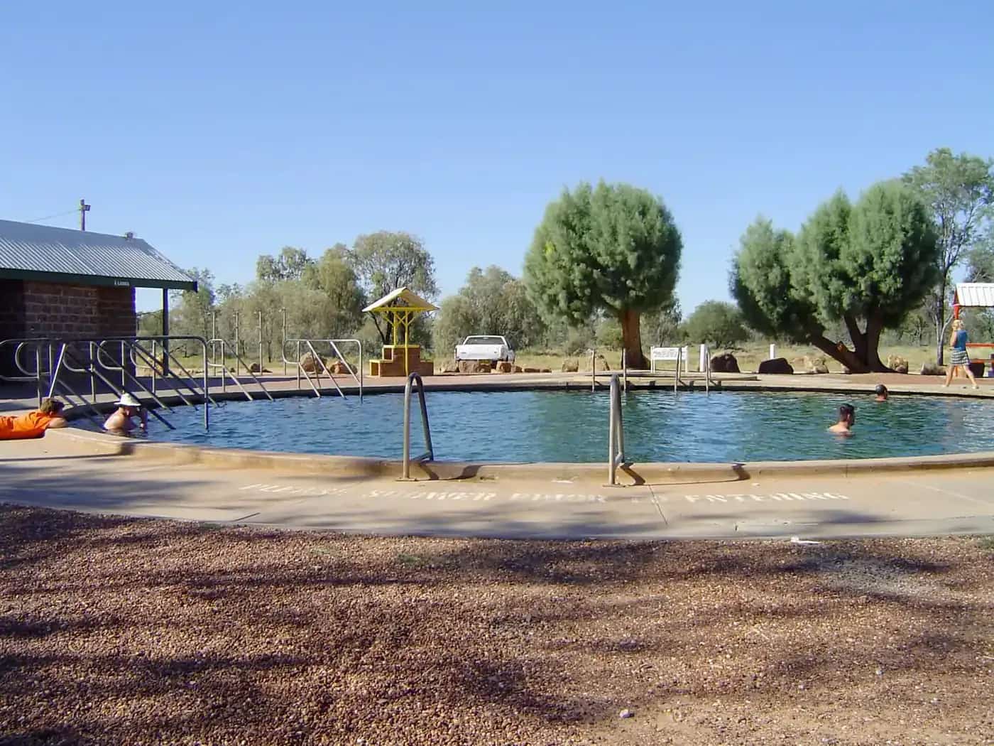
West of Borroloola, the road passes through Limmen National Park, with sandstone formations known as the Lost Cities, and reaches Roper Bar, a river crossing with a store. The Roper Highway then leads to the Stuart Highway near Mataranka, where thermal springs offer a welcome soak, and on to Katherine and Nitmiluk National Park.
Katherine to Kununurra
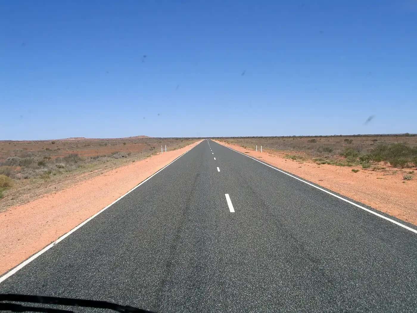
The Victoria Highway is sealed, passing the Victoria River, Judbarra / Gregory National Park and Timber Creek before crossing into Western Australia near Keep River National Park. Expect a quarantine check at the border, and remember that clocks change between time zones.
Kununurra to Broome
From Kununurra, choose between the sealed Great Northern Highway via Halls Creek and Fitzroy Crossing, with a side trip to Purnululu, or the rugged Gibb River Road through the heart of the Kimberley to Derby. Both routes end in Broome.
Highlights
Undara Lava Tubes, the Gulflander train between Normanton and Croydon, Boodjamulla, Lorella Springs and Limmen National Park, Mataranka's thermal pools, Nitmiluk Gorge, Lake Argyle, Purnululu's Bungle Bungles and the Kimberley gorges.
Do you need a 4WD?
For the full route, a high-clearance 4WD with good tyres is strongly recommended. The Gulf section between Normanton and Roper Bar includes long unsealed stretches, river crossings and corrugations, and the Gibb River Road is a serious 4WD route. You can complete a mostly sealed version by detouring via Cloncurry, Mount Isa and the Barkly and Stuart highways, and taking the Great Northern Highway in WA. See our 4WD driving guide.
When to go
Only in the dry season, roughly May to October. Many sections close during the wet, sometimes for months, and floods can wash out roads and crossings. Early in the dry season, some crossings may still be high; later in the season, roads are drier but dustier and more corrugated.
How long does it take?
Allow at least three to four weeks for the full journey with side trips. Six weeks or more lets you slow down, fish, swim and explore.
Preparation and safety
- Fuel: distances between fuel stops can exceed 300 km in the Gulf Country. Carry extra fuel and plan carefully. See fuel, permits and road conditions.
- Tyres and spares: carry two spare tyres, a puncture kit, compressor and recovery gear.
- Water and food: carry extra supplies in case roads close behind or ahead of you.
- Communications: carry a satellite phone or messenger and a registered PLB. Read our remote-area travel safety guide.
- Crocodiles: saltwater crocodiles live in rivers, estuaries and some billabongs across the north. Never swim where you are unsure, and camp well back from the water. See crocodile safety.
- Road conditions: check QLDTraffic, Road Report NT and Main Roads WA daily.
Permits and respect
Some side roads cross Aboriginal land and require permits. Alcohol restrictions apply in some communities. Read our visiting Country respectfully guide.
Fishing and the Gulf
The Gulf of Carpentaria is renowned for barramundi and other sportfish, and towns such as Karumba, Burketown and Borroloola are popular fishing bases in the dry season. Queensland and Northern Territory fisheries rules set size and possession limits and seasonal barramundi closures, which differ between jurisdictions, so check the current rules for each state before you fish. Always fish well back from the water's edge; see crocodile safety.
Practical information
- Distance: about 3,700 km from Cairns to Broome.
- Best time: May to October.
- Related: Outback tracks, Gibb River Road, Boodjamulla, Nitmiluk, Perth to Darwin.
Side trips along the way: Undara lava tubes and Cobbold Gorge.
Nearby park guide: Limmen.
Frequently asked questions
Is there a quarantine check on the Savannah Way?
Yes. Western Australia runs a quarantine checkpoint at the NT/WA border near Kununurra, and restrictions apply to fruit, vegetables, honey and other items. Check current rules before you travel.
What is the best time to drive the Savannah Way?
The dry season, roughly May to October. In the wet season, unsealed sections and river crossings in the Gulf Country and Kimberley often close.
Where does the Savannah Way start and end?
It runs between Cairns in Queensland and Broome in Western Australia, through Normanton, Borroloola, Katherine and Kununurra.
Do you need a 4WD for the Savannah Way?
For the full route, a high-clearance 4WD is recommended because sections in the Gulf Country — such as between Hells Gate and Roper Bar — are unsealed and rough. You can follow sealed highways for much of the distance by detouring via Mount Isa and the Barkly.
How long does it take to do the Savannah Way?
Allow at least three to four weeks for the full journey with side trips.
Is the Savannah Way a sealed road?
Partly. Sections in Queensland and the Victoria Highway are sealed, but long stretches in the Gulf Country are gravel and close in the wet season.
Sources and further reading
Facts on this page were checked against these primary and official sources. Conditions change — confirm before you travel or buy.
- Limmen National Park — Northern Territory Government
- WA quarantine (travelling to WA) — Department of Primary Industries and Regional Development WA
- Main Roads WA road conditions — Main Roads Western Australia
- Savannah Way — Savannah Way Ltd
- QLDTraffic — Queensland Government
- Road report NT — Northern Territory Government