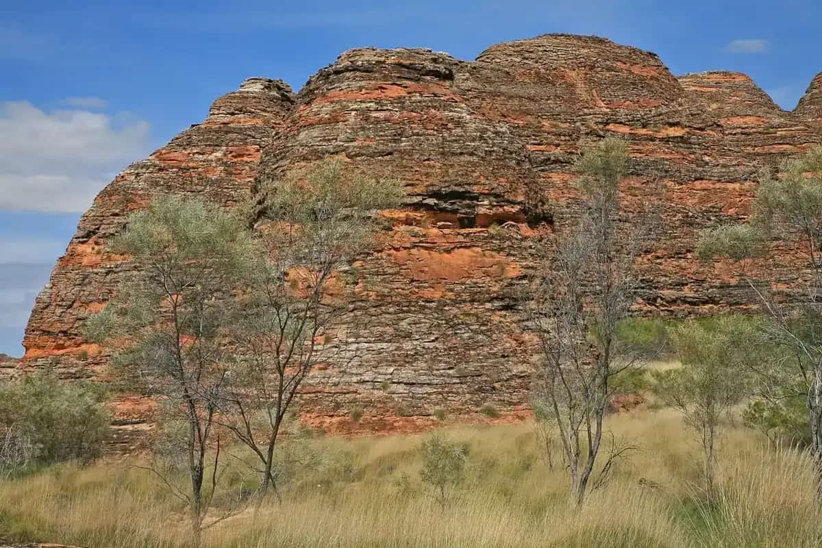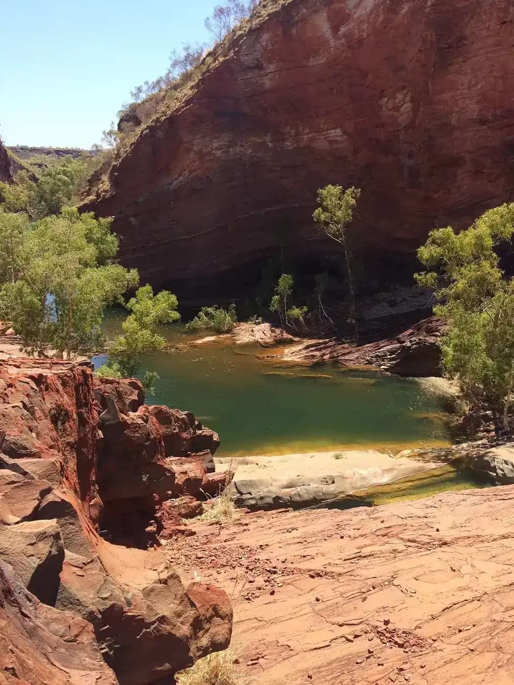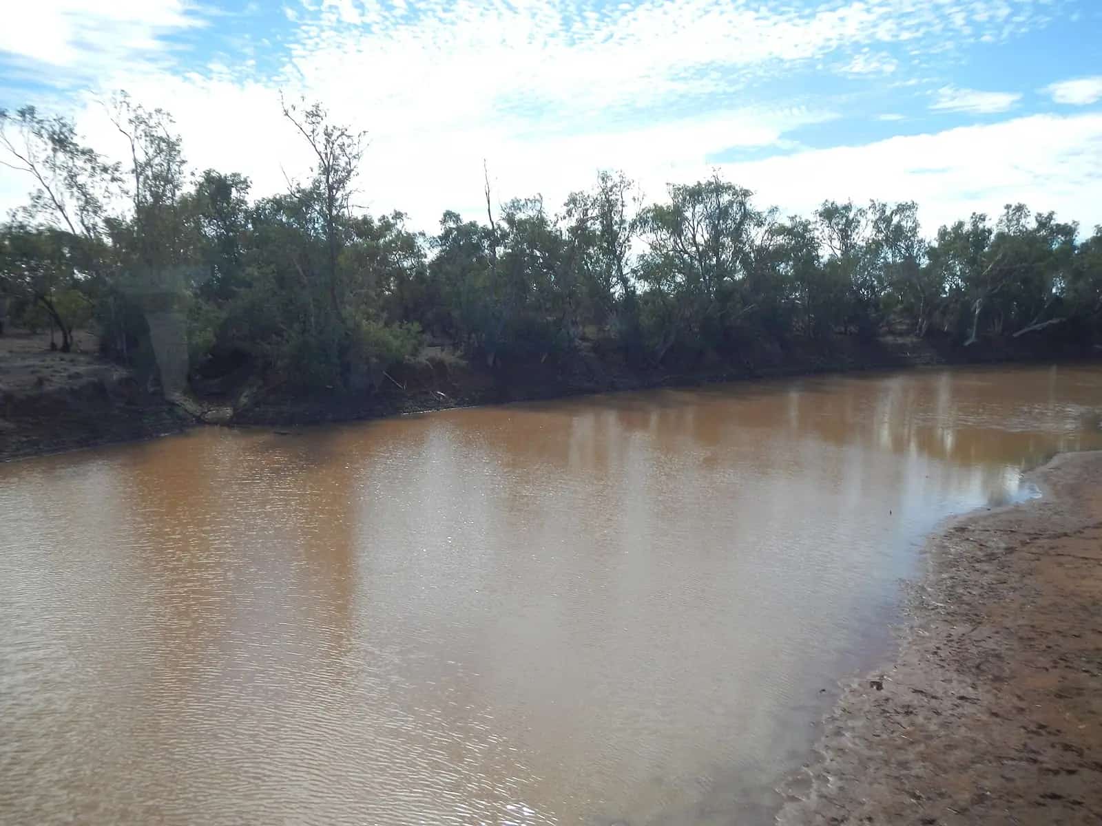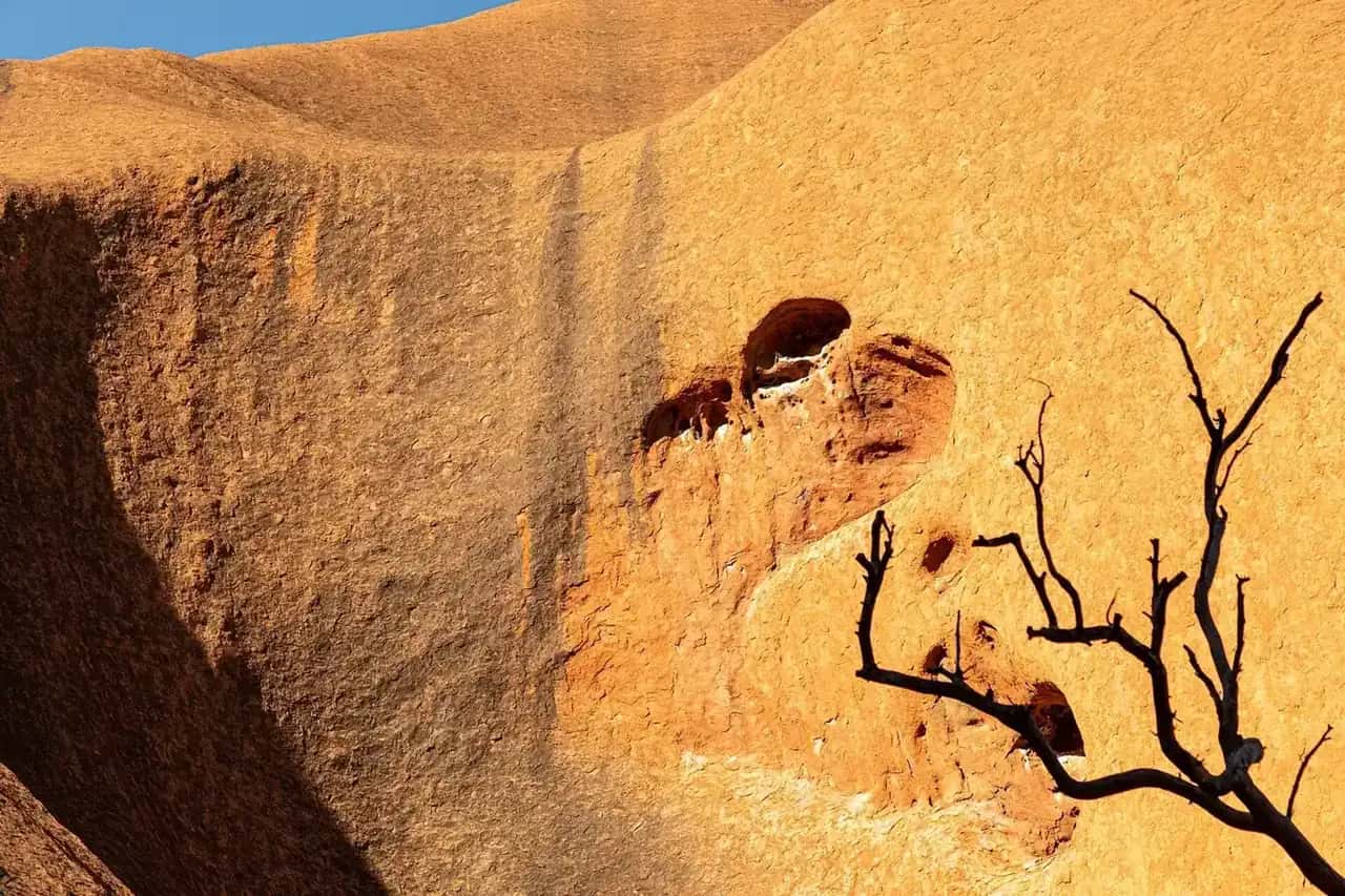
"Red Centre" is the travel-industry name for the arid country of southern Central Australia. It's red sand plains and dunes cut by long quartzite and sandstone ranges. The region's three big drawcards are Alice Springs and the MacDonnell Ranges, Kings Canyon, and Uluru and Kata Tjuta. They're linked by sealed highways and, for 4WD travellers, by the unsealed Mereenie Loop. Together these routes are marketed as the Red Centre Way.
This is Arrernte, Luritja, Pitjantjatjara and Yankunytjatjara Country, among others. Uluṟu-Kata Tjuṯa National Park is owned by its Anangu Traditional Owners and jointly managed with Parks Australia.
The main areas
Alice Springs (Mparntwe)
Alice Springs is the region's service town and transport hub, with flights, hire cars and supermarkets. It's also the start of most self-drive loops. Key stops include the Alice Springs Telegraph Station, the Royal Flying Doctor Service base and the School of the Air. See our Alice Springs guide, and the history of the Overland Telegraph Line and the Royal Flying Doctor Service.
Tjoritja / West MacDonnell Ranges
West of town, Namatjira Drive and Larapinta Drive follow the ranges past a string of gaps and gorges, including Simpsons Gap, Standley Chasm, Ellery Creek Big Hole, Ormiston Gorge and Glen Helen. The Larapinta Trail runs along the range in 12 sections. Our West MacDonnell National Park guide covers walks, camping and swimming.
East MacDonnell Ranges
East of Alice Springs, the Ross Highway runs past Emily Gap and Jessie Gap, both important Arrernte sites. Further on are Trephina Gorge and N'Dhala Gorge, which is known for its rock engravings. The area is quieter than the West MacDonnells, and parts of it are only reachable by 4WD. Check NT Parks for current access before you go.
Watarrka National Park (Kings Canyon)
Kings Canyon is best known for the Rim Walk, which climbs steeply from the car park and loops around the canyon's sandstone domes and cliffs. It's a demanding walk in heat. NT Parks may close or restrict hot-weather walking, so start early and check the Watarrka National Park page for current conditions. There's also a short, easier Kings Creek Walk along the canyon floor.
Uluṟu-Kata Tjuṯa National Park
Uluru and the 36 domes of Kata Tjuta are the reason most people come. Visitors need a park pass. Parks Australia lists the 2026 adult pass at $38 for three days, with under-18s free, but check the official pass page before you go. Accommodation is at Yulara, just outside the park. Our Uluru-Kata Tjuta guide, Yulara guide and Uluru itinerary cover walks, sunrise and sunset viewing and how many days to allow.
Weather and the best time to go
The Bureau of Meteorology's long-term averages for Alice Springs Airport show the shape of the year.
| Month | Mean max (°C) | Mean min (°C) | Mean rain (mm) |
|---|---|---|---|
| January | 36.6 | 21.6 | 41.8 |
| April | 28.4 | 12.6 | 16.5 |
| July | 19.9 | 3.9 | 14.0 |
| October | 31.3 | 14.9 | 19.6 |
Source: BOM climate statistics for Alice Springs Airport (015590), long-term averages. Averages hide extremes. Summer days above 40°C are common, and winter nights can fall below freezing.
For most travellers the best months are about April to September. Winter (June to August) is peak season, with mild days and cold nights. Spring brings rising heat and, after good rain, wildflowers. Summer is very hot. Walks start at dawn, some may close in the heat, and you need to carry much more water. See our outback weather by month and best time to visit guides.
Getting there and getting around
- Fly: there are flights into Alice Springs and into Ayers Rock Airport (Connellan) near Yulara. Many people fly into one and out of the other to save driving time.
- Drive: the Stuart Highway links Alice Springs with Adelaide and Darwin. See our Adelaide to Darwin road trip guide. The Lasseter Highway branches west to Yulara. Distances are long and wildlife is common at dawn and dusk.
- Tours: coach and small-group tours run from Alice Springs and Yulara for travellers who'd rather not drive.
The Mereenie Loop
The Mereenie Loop links the West MacDonnell Ranges with Kings Canyon, saving the long sealed detour back via the Stuart and Lasseter highways. The Central Land Council and NT tourism material describe it as unsealed, often corrugated, and passing through Aboriginal land. You need a permit, known as the Mereenie Tour Pass, and a 4WD is recommended. Information from the visitor centres says the pass can't be bought online. It's sold in person at outlets such as the Alice Springs visitor centre, Glen Helen, Hermannsburg, Kings Creek Station and Kings Canyon. There's no fuel or camping on the loop itself, so plan your fuel carefully. Check NT road reports before you set out.
How long to spend
- 3 to 4 days: fly to Yulara and spend two days at Uluru and Kata Tjuta, then a day at Kings Canyon.
- 5 to 7 days: do the full loop, with Alice Springs and the West MacDonnells (2 days), Kings Canyon (1 to 2 days) and Uluru and Kata Tjuta (2 to 3 days). Our one-week itineraries include a sample plan.
- 10 days or more: add Larapinta Trail sections, Finke Gorge and Palm Valley by 4WD, or the East MacDonnell Ranges.
Desert Park and the Alice Springs area
In and around Alice Springs, the Alice Springs Desert Park displays the plants and animals of Central Australia's desert habitats, and it's a good introduction before heading into the parks. Aboriginal art centres and galleries in town sell works from across the Central Desert. Our guide to buying Aboriginal art ethically explains how to make sure artists are paid fairly.
Practical tips
- Carry plenty of water, even on short walks. On a hot day, start walking at dawn.
- Fuel is available in Alice Springs, at Yulara, Kings Canyon and some roadhouses, but distances between them are long. Fill up whenever you can.
- Respect closures and signs. Some places at Uluru and Kata Tjuta are culturally sensitive and can't be photographed. Our visiting Country respectfully guide explains why.
- Flies can be relentless in warmer months. A fly net is worth packing.
- For remote walking or driving, carry a satellite communicator or PLB. See remote area travel safety.
Related guides
Frequently asked questions
How long should you spend in the Red Centre?
Many visitors spend four to seven days. That's enough for two or three days at Uluru and Kata Tjuta, a day or two at Kings Canyon and a day or two in Alice Springs and the West MacDonnell Ranges. Allow longer if you plan to walk sections of the Larapinta Trail or drive the Mereenie Loop.
How long should you spend in the West MacDonnell Ranges?
One full day covers the main gorges along Namatjira Drive, such as Simpsons Gap, Standley Chasm, Ellery Creek Big Hole and Ormiston Gorge. Two or three days lets you camp, swim when conditions allow and do longer walks.
What is the best time to visit the Red Centre?
The cooler months, roughly April to September, are the most comfortable. Bureau of Meteorology long-term averages for Alice Springs Airport show mean maximums of about 20°C in June and July and about 36.6°C in January. Winter nights are cold, with July mean minimums of about 3.9°C.
Do you need a 4WD for the Red Centre Way?
No, not for the sealed route. You can reach Alice Springs, Kings Canyon and Uluru on sealed roads in a 2WD. The Mereenie Loop between the West MacDonnell Ranges and Kings Canyon is unsealed and often corrugated, needs a permit, and is best driven in a 4WD.
How long to spend at the Uluru Cultural Centre?
Allow at least an hour or two for the Uluṟu-Kata Tjuṯa Cultural Centre, which is near the base of Uluru. It's a good first stop because it explains Anangu law and culture and the park's rules before you start walking.
Sources and further reading
Facts on this page were checked against these primary and official sources. Conditions change — confirm before you travel or buy.
- Climate statistics for Alice Springs Airport (015590) — Bureau of Meteorology
- Buy your pass, Uluṟu-Kata Tjuṯa National Park — Parks Australia
- Watarrka National Park — Northern Territory Government
- Permits — Central Land Council
- Red Centre Way 5 day self drive — Tourism and Events NT