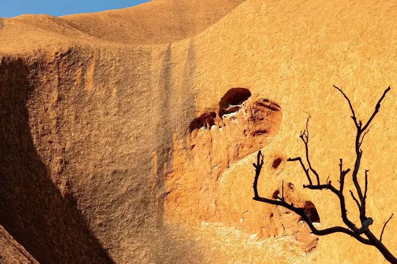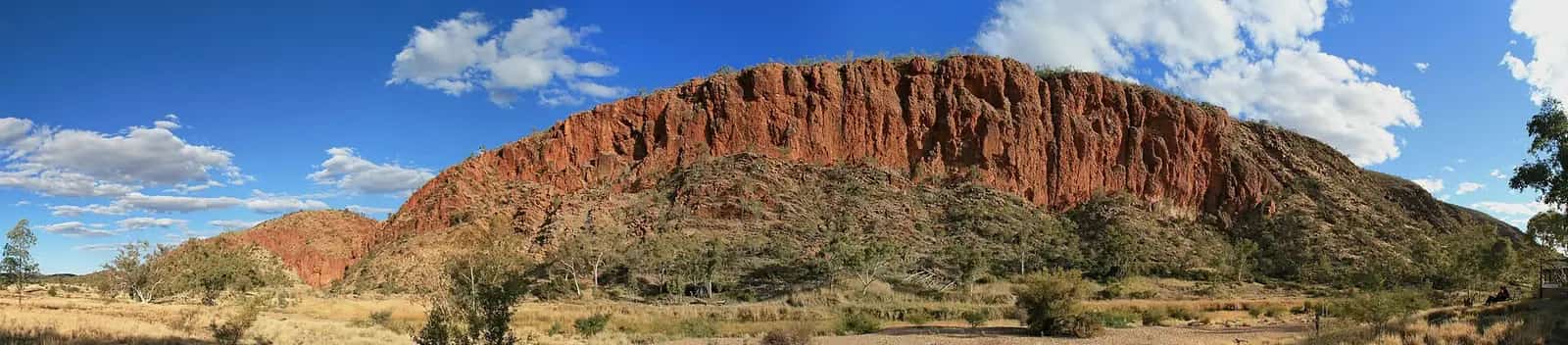
NSW National Parks describes Culgoa as "outback colours: ochre and brown and yellow, scorched by the sun". It's a park of river red gums, wide grassy floodplains and coolabah trees, the species made famous by "Waltzing Matilda". Wildflowers bloom after the wet season. NPWS says the biggest draw is simply the solitude. The park sits right on the NSW-Queensland border, north-east of Bourke and north of Brewarrina.
Aboriginal culture
NPWS says Aboriginal people have a long relationship with Culgoa, and the park has significant archaeological and cultural value. Murrawarri people, from the Gandugari group, consider it traditional land. Other groups, including the Ngemba, Ngaampaa, Paakandji, Morawari and Budjiti, work with NPWS on land management. Murrawarri descendants live around the park, in Weilmoringle, Brewarrina, Goodooga, Bourke and Enngonia, and keep a strong oral history of the region.
Pastoral history
NPWS says Charles Sturt was the first European explorer here, in 1829. By the 1860s, settlements covered the region, with large properties including Byerawering, Cawwell and Burban Grange. The Culgoa River campground is on the old Burban Grange property. NPWS is committed to conserving the area's pastoral history.
Plants and animals
According to NPWS, Culgoa has the largest continuous tract of coolabah woodland left in NSW and is the only national park in the state with Brigalow-gidgee woodland. It also has one of the largest koala populations in northern NSW. Recorded wildlife includes 24 mammals, 170 bird species, 29 lizards, 7 snakes and 15 frogs, and several kinds of long-necked tortoise. Brushtail possums and little pied bats are most active at night, so bring a torch.
Walks
- Mirri Mirru Yurun (River Bank walk). 1 km return, 30 minutes to an hour. An easy stroll along the Culgoa River among river red gums, gidgee and coolabah, with emus and birds around the waterholes. NPWS warns that roads are susceptible to flooding, so check the weather first.
- Culgoa Connellys track. 8 km return, 2–3 hours, from the campground. NPWS rates it grade 5 only because it has no directional signage, and describes it as easy for all ages. The track winds for 4 km through open coolabah woodland. Walking it in the evening brings frogs, cicadas and good stargazing.
- Yuwura Yurun (Sandhill track). A 10 km loop, 3–4 hours, grade 4. It is the most comprehensive walk in the park, crossing sandhills, cypress pine, coolabah and Brigalow-gidgee woodland, mulga, grassland, claypans and dunes.
Bring a hat, sunscreen and plenty of water. There is no mobile reception in the park, so NPWS suggests carrying a topographic map and compass, or a GPS.
Camping
Culgoa River campground has 5 sites for tents, camper trailers and caravans, with toilets and picnic tables. NPWS says it is the preferred spot for caravans in the park. There are no camping fees, but a $6 booking fee applies; book up to 12 people or 2 sites online. Bring drinking water, cooking water and firewood. NPWS notes that the Culgoa River is often dry.
Getting there
NPWS gives two routes from Bourke:
- Dirt route. River Road to Weilmoringle, then left onto Enngonia Road, about 180 km.
- Mostly sealed route. Via Brewarrina, about 220 km, with the last 20 km from Weilmoringle unsealed.
Weilmoringle and Goodooga have no fuel, so fill up before you leave.
Weather and when to visit
NPWS gives these figures:
- Summer. Averages of 21–34.9°C, with a recorded high of 46.4°C.
- Winter. Averages of 5.7–19.6°C, with a recorded low of −3.3°C.
- Rainfall. January is the wettest month and August the driest.
NPWS recommends winter for walking. Spring brings wildflowers after good winter rain. In summer, it suggests hiking only if you are experienced.
Practical information
- Opening. Always open, but the park may close in poor weather or high fire danger.
- Pets. Not permitted.
- Contact. NPWS Bourke office, 02 6830 0200.
Combine Culgoa with Gundabooka and Toorale and the Brewarrina fish traps.
Frequently asked questions
Where is Culgoa National Park?
Culgoa is in north-central NSW on the Queensland border, north-east of Bourke. NSW National Parks says the route from Bourke via River Road and Weilmoringle is about 180 km of dirt road; a mostly sealed route via Brewarrina is about 220 km, with the last 20 km from Weilmoringle unsealed.
Can you camp in Culgoa National Park?
Yes. NSW National Parks lists Culgoa River campground with 5 sites for tents, camper trailers and caravans, plus toilets and picnic tables. There are no camping fees, but a $6 booking fee applies. Bring drinking water, cooking water and firewood.
What is Culgoa National Park known for?
NSW National Parks says Culgoa has the largest continuous tract of coolabah woodland left in NSW, is the only national park in the state with Brigalow-gidgee woodland, and has one of the largest koala populations in northern NSW.
Is there fuel near Culgoa National Park?
No. NSW National Parks says the small townships of Weilmoringle and Goodooga, on either side of the park, offer no fuel, so fill up before you leave.
Sources and further reading
Facts on this page were checked against these primary and official sources. Conditions change — confirm before you travel or buy.
- Culgoa National Park — NSW National Parks and Wildlife Service
- Culgoa National Park - Learn more — NSW National Parks and Wildlife Service
- Culgoa National Park - Visitor info — NSW National Parks and Wildlife Service
- Culgoa River campground — NSW National Parks and Wildlife Service
- Culgoa Connellys track — NSW National Parks and Wildlife Service
- Yuwura Yurun — NSW National Parks and Wildlife Service
- Mirri Mirru Yurun — NSW National Parks and Wildlife Service