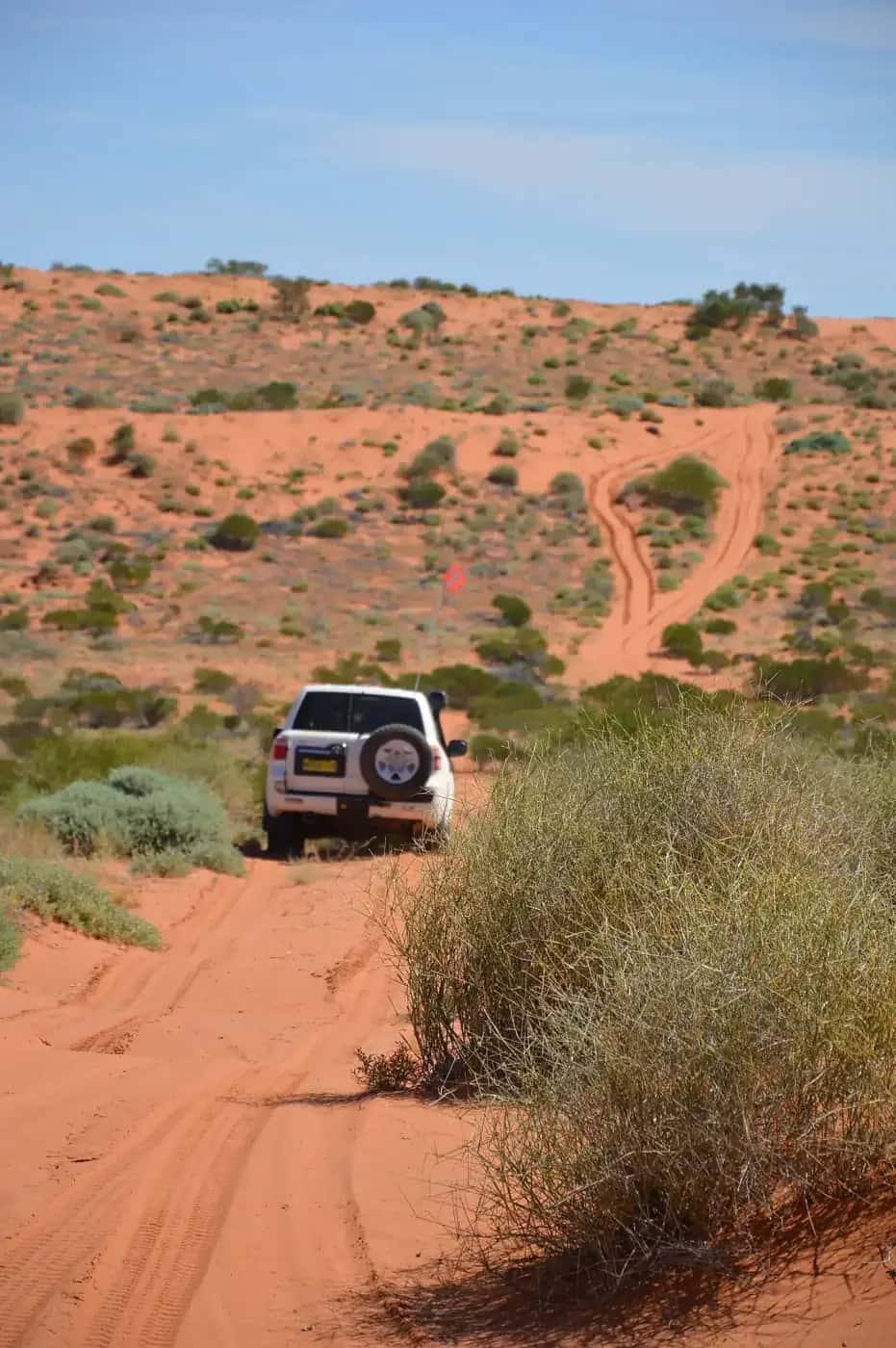
Outback tracks are the roads that made the inland: stock routes, mail runs, beef roads and survey lines that now carry travellers into some of the most remote country on earth. This hub collects our track guides. Each one covers the route, its history, difficulty, fuel and services, the best season and the official sources to check.
Start here
- First unsealed track: the Oodnadatta and Birdsville tracks are popular first outback drives in good conditions. Both start at Marree.
- Expedition level: the Canning Stock Route needs careful planning, self-sufficiency and permits.
- Before you go: read about fuel, permits and road conditions, 4WD driving, 4WD recovery and the wet season and road closures.
The tracks
- Birdsville Track — about 520 km from Marree (SA) to Birdsville (Qld), the classic stock route.
- Oodnadatta Track — about 620 km from Marree to Marla along the old Ghan railway and mound springs.
- Strzelecki Track — about 460 km from Lyndhurst to Innamincka through dune country.
- Gibb River Road — about 660 km across the Kimberley between Derby and the Kununurra–Wyndham area.
- Plenty Highway — the long gravel link between the Stuart Highway near Alice Springs and western Queensland.
- Tanami Road — the remote desert link from Alice Springs to Halls Creek, now being sealed in stages.
- Mereenie Loop — the permit-only unsealed link between the West MacDonnells and Kings Canyon.
- Cape York — the dry-season 4WD trip to the tip, including the Old Telegraph Track and Jardine ferry.
- Larapinta Trail — the 230 km-plus walking track along the West MacDonnell Ranges.
- Canning Stock Route — roughly 1,850 km from Wiluna to near Halls Creek, Australia's toughest classic 4WD expedition.
- Savannah Way — the tropical route from Cairns to Broome, covered in our road trips section.
How hard are they?
| Track | Typical vehicle in dry conditions | Remoteness |
|---|---|---|
| Birdsville Track | High-clearance 2WD or 4WD | High |
| Oodnadatta Track | High-clearance 2WD or 4WD | High |
| Strzelecki Track | High-clearance 2WD or 4WD; heavy industry traffic | High |
| Gibb River Road | 4WD recommended; river crossings | High |
| Plenty Highway | High-clearance vehicle; corrugations | High |
| Canning Stock Route | Equipped 4WD only; long-range fuel | Extreme |
This table is a general guide only. Rain, washouts and maintenance can change any road from easy to impassable overnight, and hire car agreements often exclude unsealed roads. Check the official road report on the day.
Before any track
- Read our outback safety guide and 4WD driving guide.
- Plan fuel stops and carry a reserve — see fuel, permits and road conditions.
- Carry at least two spare tyres, a compressor, recovery gear, plenty of water and a satellite communication device.
- Tell someone your route and when you expect to arrive.
- Respect Aboriginal land: some routes cross Aboriginal-owned land where permits are needed.
Official road condition sources
- South Australia: DIT outback road warnings.
- Queensland: QLDTraffic and local shire road reports.
- New South Wales: Live Traffic NSW.
- Northern Territory: NT Road Report.
- Western Australia: Main Roads WA travel map; shire road reports for local roads.
Which track should I choose?
- First outback track: the Oodnadatta Track and Birdsville Track are well maintained, have regular services and are good introductions to outback driving in dry conditions.
- For Burke and Wills history: the Strzelecki Track leads to Innamincka and the Dig Tree.
- For gorges and swimming: the Gibb River Road offers the Kimberley's famous gorges and station stays.
- For a cross-country link: the Plenty Highway connects Alice Springs to western Queensland.
- For tropical adventure: the Savannah Way crosses the top of Australia.
- For the ultimate challenge: the Canning Stock Route and the Simpson Desert are only for experienced, well-equipped travellers.
When to drive outback tracks
Most tracks are best between April and October. In the tropical north, the dry season from May to October is essential. Desert tracks become dangerous in summer heat, and some parks close. Rain can close any unsealed road at any time. See our seasonal calendar.
Vehicle and gear essentials
Every outback track requires a well-maintained vehicle, two spare tyres, a compressor, recovery gear, extra fuel and water, a first aid kit and reliable communications. Read our remote-area travel safety guide and 4WD driving guide.
Respecting Country
Many outback tracks cross the Country of Aboriginal peoples, and some pass through Aboriginal land where permits are needed. Stay on designated tracks, respect closures and cultural sites, and follow the guidance in our visiting Country respectfully guide.
Tyre pressures
Lowering tyre pressures on unsealed tracks improves traction and ride comfort, and it reduces the risk of punctures and stone damage. Follow your vehicle and tyre manufacturer's advice. Carry an accurate gauge and a reliable compressor so you can reinflate before returning to sealed roads, and slow down when running lower pressures.
Towing on outback tracks
Towing increases the strain on your vehicle and makes recoveries more difficult. If you plan to tow on unsealed tracks, use an off-road trailer built for the conditions, and check your vehicle's towing limits. Some tracks and side roads aren't suitable for trailers at all. Check the managing agency's advice before going.
Leave no trace
Take all rubbish out with you. Bury human waste well away from water and campsites, or use a portable toilet. Use existing campsites and fireplaces, don't drive off formed tracks, and obey any fire restrictions.
Fines and closed roads
Driving on a closed road can bring heavy fines and damages road surfaces. Check road condition reports and obey road closure signs.
Communications
Mobile coverage is limited or absent on most outback tracks. Carry a satellite device and a registered personal locator beacon, and leave your trip plan with someone.
Animals on the road
Cattle, kangaroos, emus and camels may be on or near outback tracks, particularly around dawn, dusk and at night. Avoid driving after dark where possible, slow down when you see animals near the road, and don't swerve violently to avoid them.
Featured guides
Outback tracks
Birdsville Track
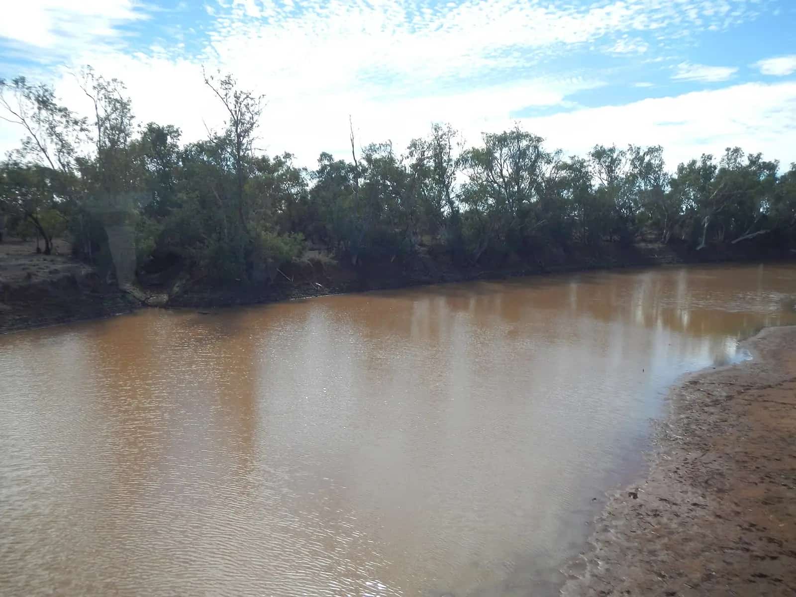
Birdsville Track guide: the 520 km stock route from Marree in South Australia to Birdsville in Queensland, its history, conditions, fuel and camping.
Read · 4 min
Outback tracks
Oodnadatta Track
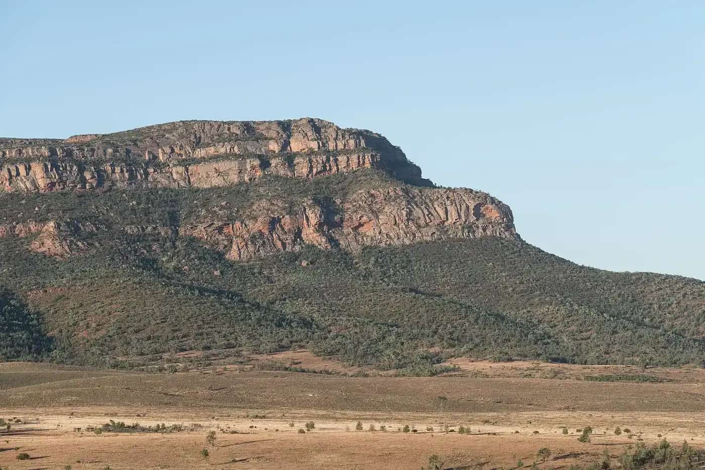
Oodnadatta Track guide: 620 km from Marree to Marla along the old Ghan line, with mound springs, Lake Eyre, William Creek and road conditions.
Read · 4 min
Outback tracks
Strzelecki Track
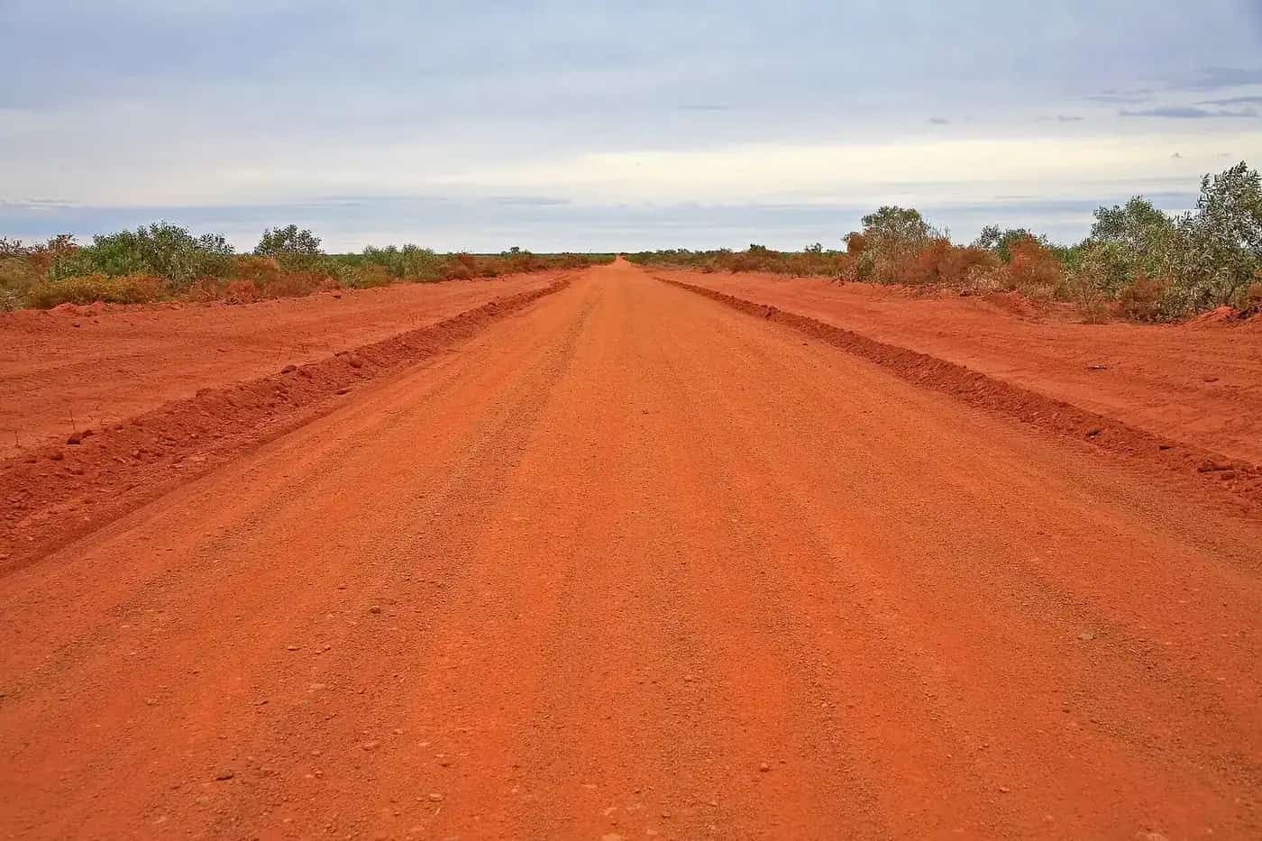
Strzelecki Track guide: about 460 km from Lyndhurst to Innamincka through the Strzelecki Desert, its cattle-duffing history, conditions, fuel and safety.
Read · 4 min
Outback tracks
Gibb River Road
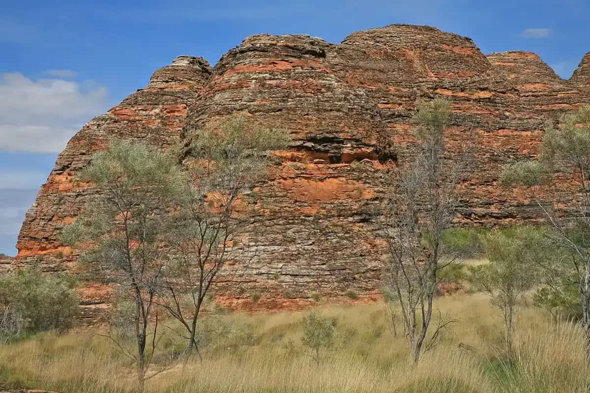
Gibb River Road guide: about 660 km across the Kimberley from Derby to the Kununurra–Wyndham area, with gorges, river crossings, seasons, fuel and permits.
Read · 4 min
Outback tracks
Canning Stock Route
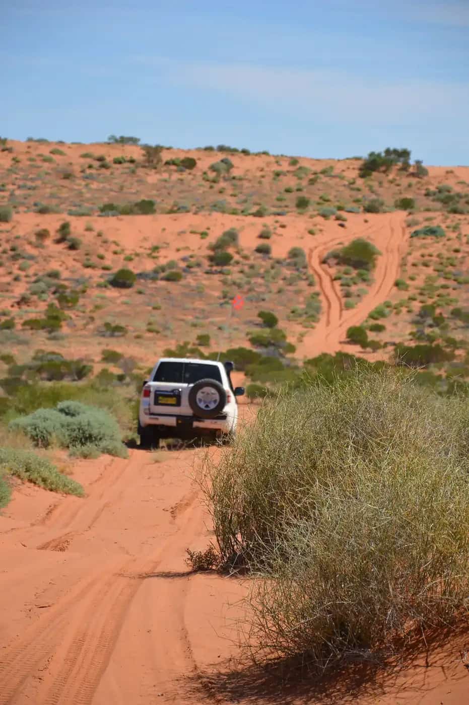
Canning Stock Route guide: about 1,850 km from Wiluna to near Halls Creek across four deserts, its history, permits, fuel planning, seasons and safety.
Read · 4 min
Outback tracks
Plenty Highway
Plenty Highway guide: the long, mostly unsealed outback link from the Stuart Highway near Alice Springs to Boulia in Queensland, with gemstones and fuel.
Read · 4 min
Guides in this section
Outback tracks
Birdsville Track
Birdsville Track guide: the 520 km stock route from Marree in South Australia to Birdsville in Queensland, its history, conditions, fuel and camping.
Read · 4 min
Outback tracks
Oodnadatta Track
Oodnadatta Track guide: 620 km from Marree to Marla along the old Ghan line, with mound springs, Lake Eyre, William Creek and road conditions.
Read · 4 min
Outback tracks
Strzelecki Track
Strzelecki Track guide: about 460 km from Lyndhurst to Innamincka through the Strzelecki Desert, its cattle-duffing history, conditions, fuel and safety.
Read · 4 min
Outback tracks
Gibb River Road
Gibb River Road guide: about 660 km across the Kimberley from Derby to the Kununurra–Wyndham area, with gorges, river crossings, seasons, fuel and permits.
Read · 4 min
Outback tracks
Plenty Highway
Plenty Highway guide: the long, mostly unsealed outback link from the Stuart Highway near Alice Springs to Boulia in Queensland, with gemstones and fuel.
Read · 4 min
Outback tracks
Canning Stock Route
Canning Stock Route guide: about 1,850 km from Wiluna to near Halls Creek across four deserts, its history, permits, fuel planning, seasons and safety.
Read · 4 min
Walking track
The Larapinta Trail
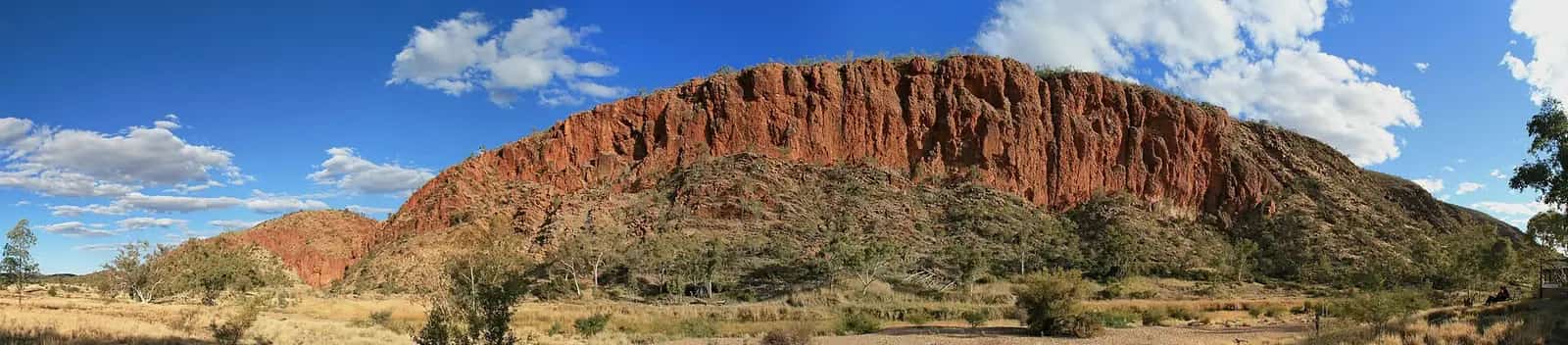
Plan the Larapinta Trail in the West MacDonnell Ranges, NT: more than 230 km in 12 sections from the Alice Springs Telegraph Station to Mount Sonder, how many days it takes, trail and camping fees, the 26 designated campgrounds, food drops, the best months and safety.
Read · 3 min
Outback track
The Tanami Road
Plan the Tanami Road from Alice Springs to Halls Creek: road conditions and the staged sealing works, fuel at Yuendumu and Billiluna, the Rabbit Flat roadhouse closure, permits, the best time to travel, vehicle prep and safety on one of Australia's most remote outback roads.
Read · 4 min
Outback track
The Mereenie Loop
Drive the Mereenie Loop (Red Centre Way) between the West MacDonnell Ranges and Kings Canyon: the Central Land Council permit you need and where to get it, road conditions, whether you need a 4WD, fuel planning, and the sights along the way.
Read · 4 min
Outback track
Cape York by 4WD
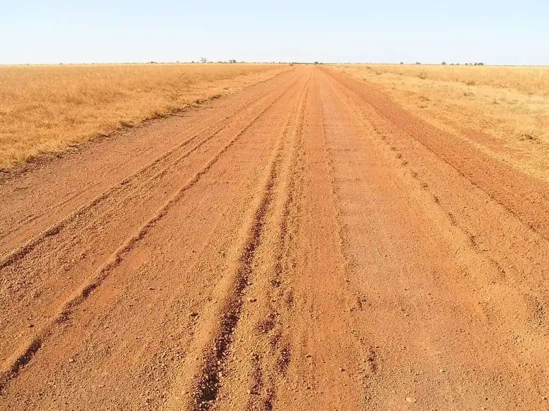
Plan a 4WD trip to the tip of Cape York, Queensland: the Peninsula Developmental Road and bypass roads, the Old Telegraph Track, the Jardine River ferry, camping permits in Apudthama National Park, the best dry-season months, fuel, crocodile safety and vehicle prep.
Read · 3 min
Frequently asked questions
Do I need a 4WD for outback tracks?
It depends on the track and the conditions. Some, like the Birdsville and Oodnadatta tracks, are often passable for well-prepared high-clearance vehicles in dry weather; others, like the Canning Stock Route, are serious expeditions for equipped 4WDs only. Conditions change after rain, so always check the official road report.
Where do I check outback road conditions?
Use the official state sources: SA outback road warnings (DIT), QLDTraffic, Live Traffic NSW, the NT Road Report and the Main Roads WA travel map. Councils and roadhouses also post local updates.
Is it illegal to drive on a closed outback road?
Yes. Driving on roads closed by authorities can bring heavy fines, damages the road and puts you at risk. Wait for the road to reopen.
What is the hardest 4WD track in Australia?
There's no official ranking. The Canning Stock Route is widely regarded as one of the most demanding outback tracks because of its length, sand dunes and lack of services. Conditions on any track change with weather, so check the official road reports before you go.
What is the current condition of the Oodnadatta Track?
Conditions change, and the track can close after rain. Check the South Australian Government's outback road reports and closures before you travel. Our Oodnadatta Track guide links to the official sources.
Sources and further reading
Facts on this page were checked against these primary and official sources. Conditions change — confirm before you travel or buy.
- Outback road warnings — Government of South Australia
- QLDTraffic — Queensland Government
- NT Road Report — Northern Territory Government
- Main Roads WA travel map — Main Roads Western Australia
- Live Traffic NSW — Transport for NSW