The old Outback Now directory covered dozens of WA towns — Kalgoorlie-Boulder, Mt Magnet, Leonora and Laverton, Wyndham, Tom Price, Marble Bar, Broome, Carnarvon, Esperance and more. The guides below focus on the towns that drew the most readers and links.
Town guides
- Kalgoorlie-Boulder — the Golden Mile and the Super Pit.
- Tom Price — Pilbara iron-ore town beside Karijini.
- Carnarvon — Gascoyne gateway to Kennedy Range and Mount Augustus.
- Marble Bar — famed for its heat and jasper bar.
- Broome — pearling town and Kimberley gateway.
- Kununurra — Lake Argyle and the Bungle Bungles.
Regions
Goldfields — Kalgoorlie, Coolgardie, Menzies, Leonora and Laverton: gold-rush streetscapes and salt lakes. Mid West — Mount Magnet, Cue and wildflowers in season. Pilbara — Karijini, Millstream-Chichester and the mining towns. Kimberley — Broome, Derby, Fitzroy Crossing, Halls Creek, Kununurra and Wyndham, the Gibb River Road and Purnululu.
Driving tips
The Great Northern Highway (Perth to Wyndham) is sealed but carries large road trains. Fuel gaps can exceed 250 km. In the north, flood closures are common in the wet season; check Main Roads WA's travel map. See Perth to Darwin.
The size of the WA outback
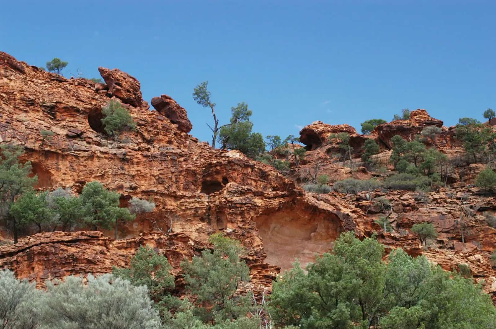
Western Australia is the largest state in Australia, and most of it is outback. Distances are vast: it is a long day's drive just to cross a single region, and towns can be several hundred kilometres apart. The state's outback spans semi-arid goldfields and wheatbelt fringes in the south, the red ranges and gorges of the Pilbara, the deserts of the interior and the tropical savanna and gorges of the Kimberley in the north. Each region has a different climate and travel season.
The Goldfields
The Goldfields-Esperance region grew from the gold rushes of the 1890s. Kalgoorlie-Boulder is the regional city, with grand gold-rush architecture along Hannan Street and the vast Fimiston open pit (the Super Pit) on the Golden Mile. Nearby Coolgardie was the original boom town. North of Kalgoorlie, Menzies is the gateway to Lake Ballard and Antony Gormley's Inside Australia sculptures, while Leonora has the restored Gwalia historic precinct. The Goldfields are reached from Perth via the Great Eastern Highway, and they connect with the Nullarbor crossing to South Australia via the Eyre Highway.
The Mid West and Murchison
Inland from Geraldton, the Murchison is gold, station and wildflower country. Mount Magnet, Cue and Meekatharra are historic gold towns on the Great Northern Highway, and after good winter rain, the region's everlasting daisies and other wildflowers can be spectacular in late winter and spring. Walga Rock, near Cue, has Aboriginal rock art. Kennedy Range and Mount Augustus national parks are further north-west; Mount Augustus (Burringurrah) is a vast monocline rising above the plains.
The Pilbara
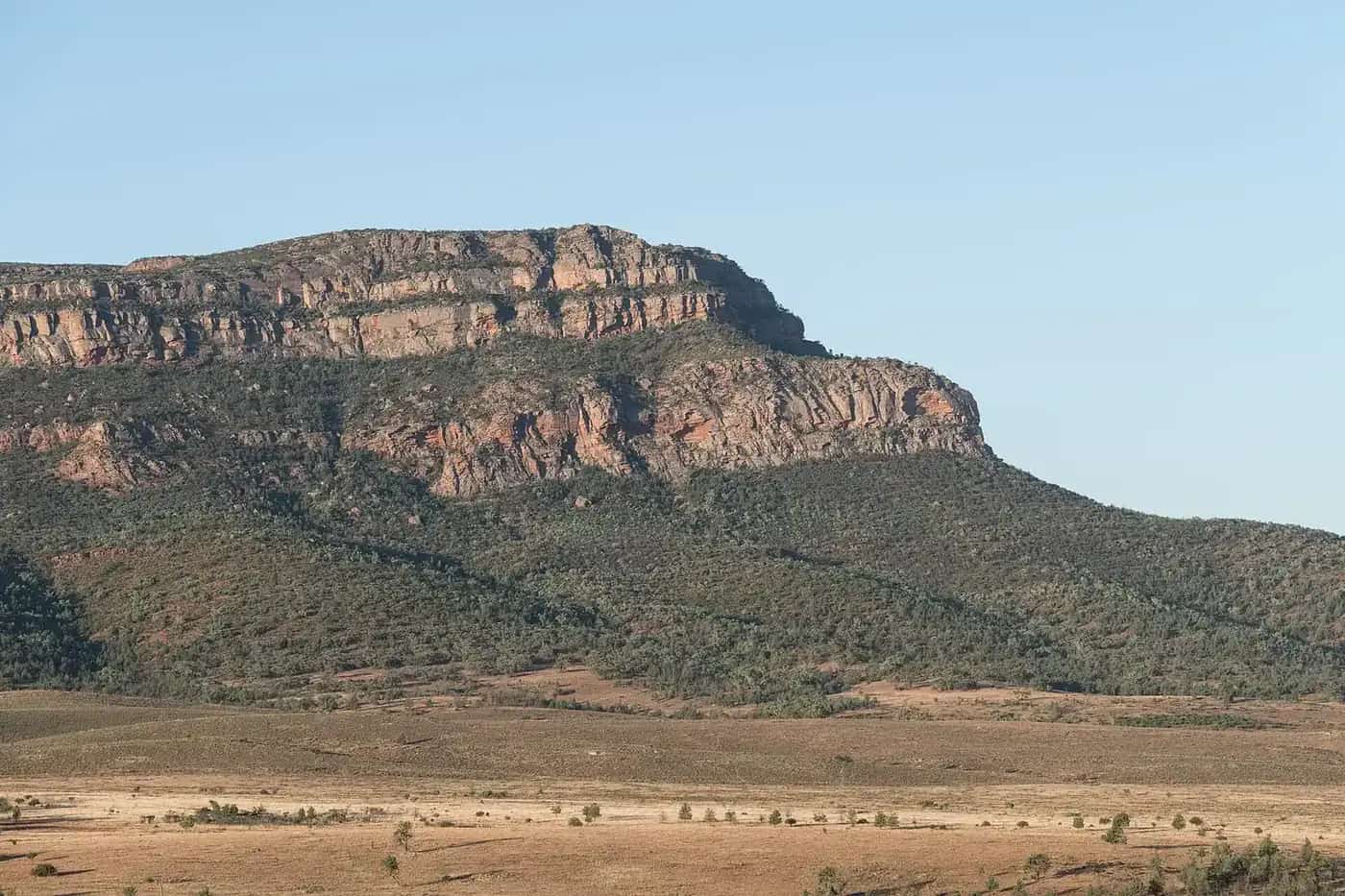
The Pilbara is one of the world's major iron ore regions, with mining towns such as Newman and Tom Price and the ports of Port Hedland and Dampier. It also has some of WA's best natural attractions: Karijini National Park, with its deep gorges, waterfalls and pools; Millstream Chichester National Park; and Murujuga National Park near Karratha, with its World Heritage-listed rock engravings. Marble Bar is famous for its heat. The best time to visit is May to September; summer is extremely hot, with a cyclone season on the coast.
The Kimberley
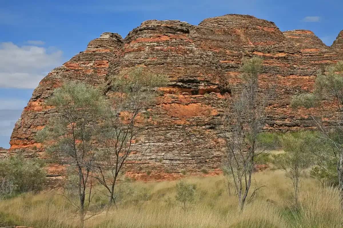
The Kimberley is Australia's last great wilderness frontier — a region of gorges, waterfalls, boab trees and rivers, with a rich Aboriginal cultural heritage. Broome is the gateway in the west, Kununurra in the east. The Gibb River Road crosses the heart of the region, and Purnululu National Park protects the World Heritage-listed Bungle Bungle Range. Towns such as Derby, Fitzroy Crossing, Halls Creek and Wyndham offer services along the Great Northern Highway. Travel is mainly in the dry season, roughly May to October.
The deserts
The deserts of WA's interior — the Great Sandy, Gibson, Little Sandy and Great Victoria — are crossed by a few remote tracks, including the Canning Stock Route and the Great Central Road (part of the Outback Way) from Laverton to Uluru. These routes cross Aboriginal land and require permits, careful preparation and self-sufficiency.
Planning resources
Tourism WA, Parks and Wildlife Service WA, Main Roads WA and local shire councils are the main sources of official travel information. The Main Roads WA travel map shows current road conditions and closures. Many national parks charge entry fees and require campsite bookings through the Park Stay WA system. See our outback safety guide and Perth to Darwin itinerary.
Quarantine
Western Australia has strict quarantine rules. If you're entering WA by road from the east, expect to stop at a checkpoint at the border and declare fresh produce, plants and honey. See fuel, permits and road conditions.
Who it suits
Outback WA rewards travellers with time. Even a single region, such as the Pilbara or the Kimberley, deserves at least two weeks, and many travellers spend a whole dry season exploring the north.
Visitor centres
Visitor centres in Kalgoorlie-Boulder, Newman, Tom Price, Broome, Derby and Kununurra are the best places for current local advice on roads, tours and park access.
Explore the Kimberley and Pilbara region guides.
Plan a drive: outback Western Australia road trip.
Guides in this section
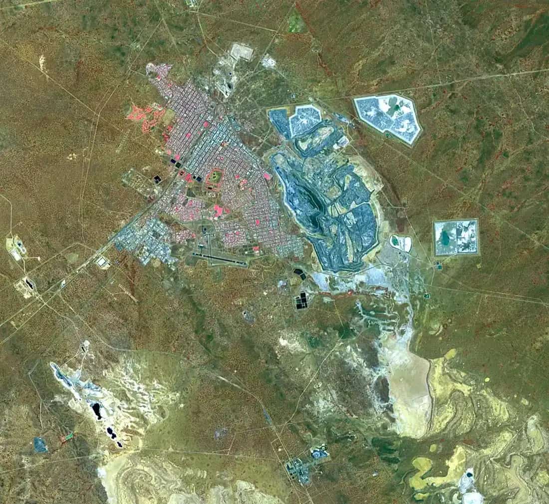
Outback Western Australia
Kalgoorlie-Boulder
Kalgoorlie-Boulder, WA: the KCGM Super Pit lookout, Hannan Street heritage, the Museum of the Goldfields, the Golden Pipeline and Goldfields day trips.
Read · 7 min
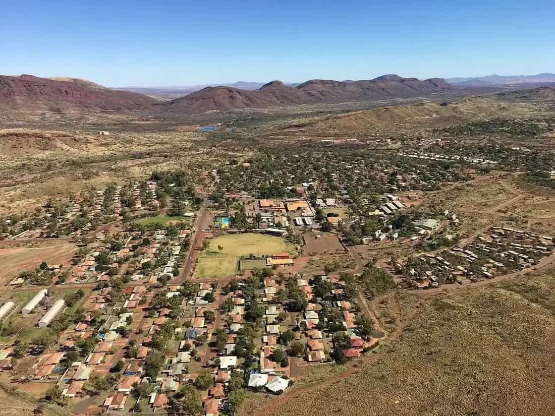
Outback Western Australia
Tom Price
Tom Price, WA: the Pilbara's highest town, Mount Nameless (Jarndunmunha) lookout, mine tours and the best base for Karijini National Park's gorges.
Read · 5 min
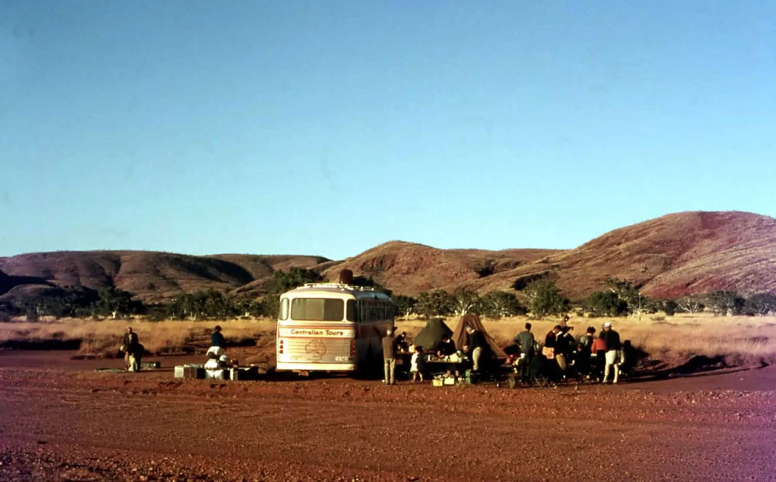
Outback Western Australia
Marble Bar
Marble Bar, WA: the record heatwave, the jasper bar on the Coongan River, Chinaman's Pool, the Ironclad Hotel and Comet Gold Mine, plus visiting tips.
Read · 5 min
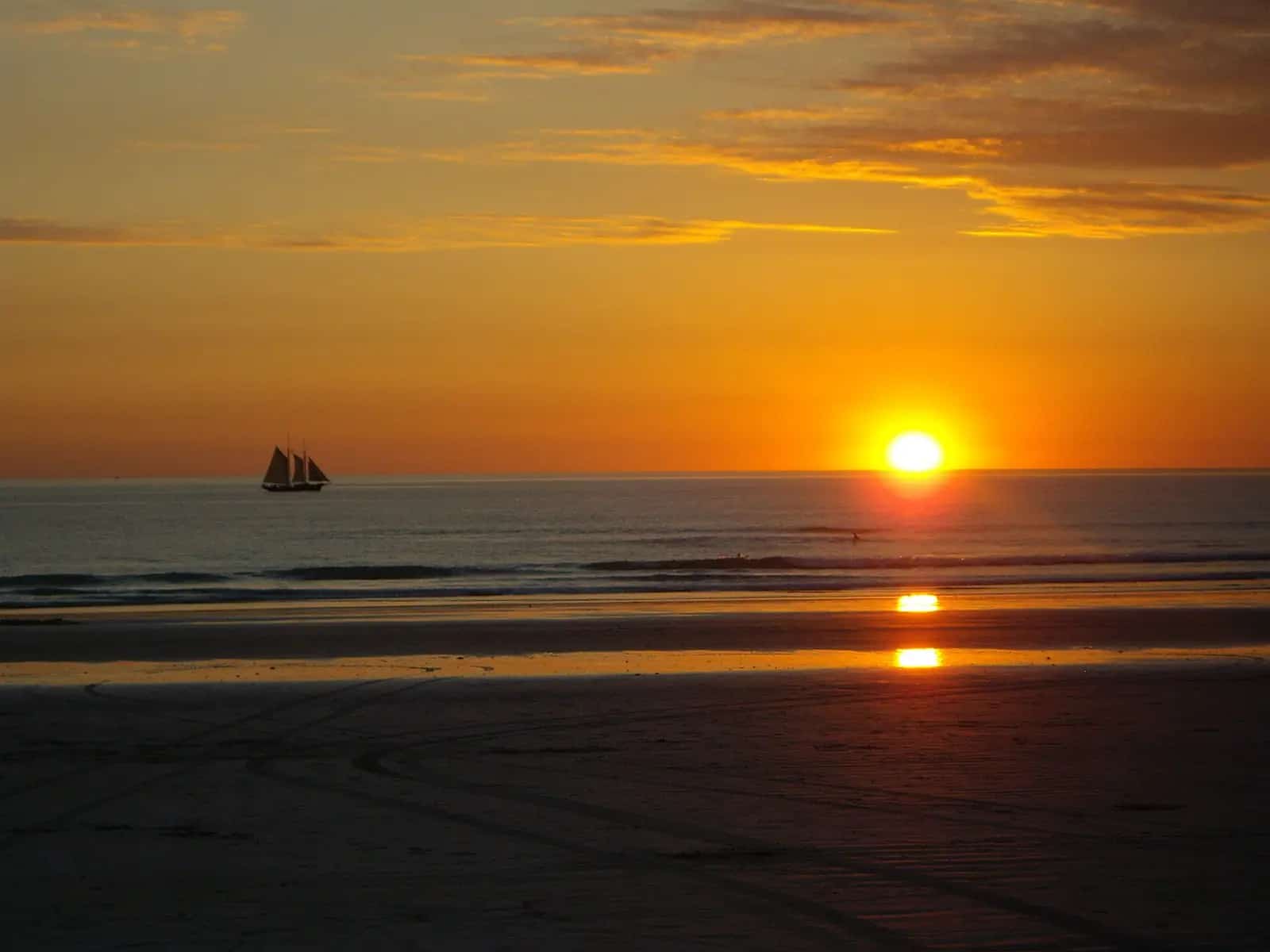
Outback Western Australia
Broome
Broome, WA: Cable Beach sunset camel rides, Staircase to the Moon, pearling history, Gantheaume Point dinosaur footprints and Sun Pictures.
Read · 5 min
Outback Western Australia
Kununurra
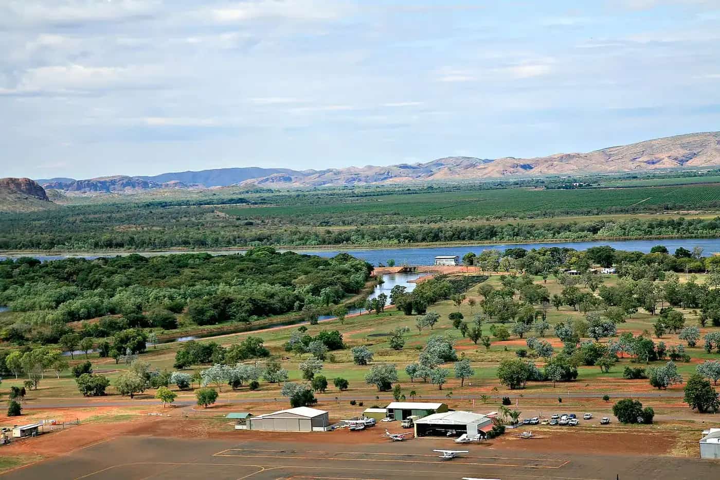
Kununurra, WA: Lake Argyle cruises, Ord River, Mirima National Park, scenic flights over the Bungle Bungles and Kimberley travel tips in the dry season.
Read · 6 min
Western Australia · Kimberley
Wyndham
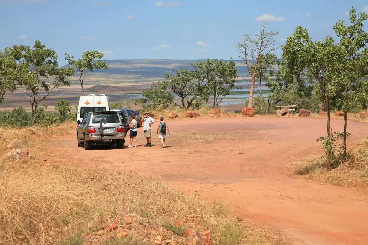
Wyndham travel guide: the Kimberley's oldest port town, the Five Rivers Lookout, Parry Lagoons, the Big Croc, the Prison Boab Tree, history and safety.
Read · 5 min
Western Australia · Goldfields
Coolgardie
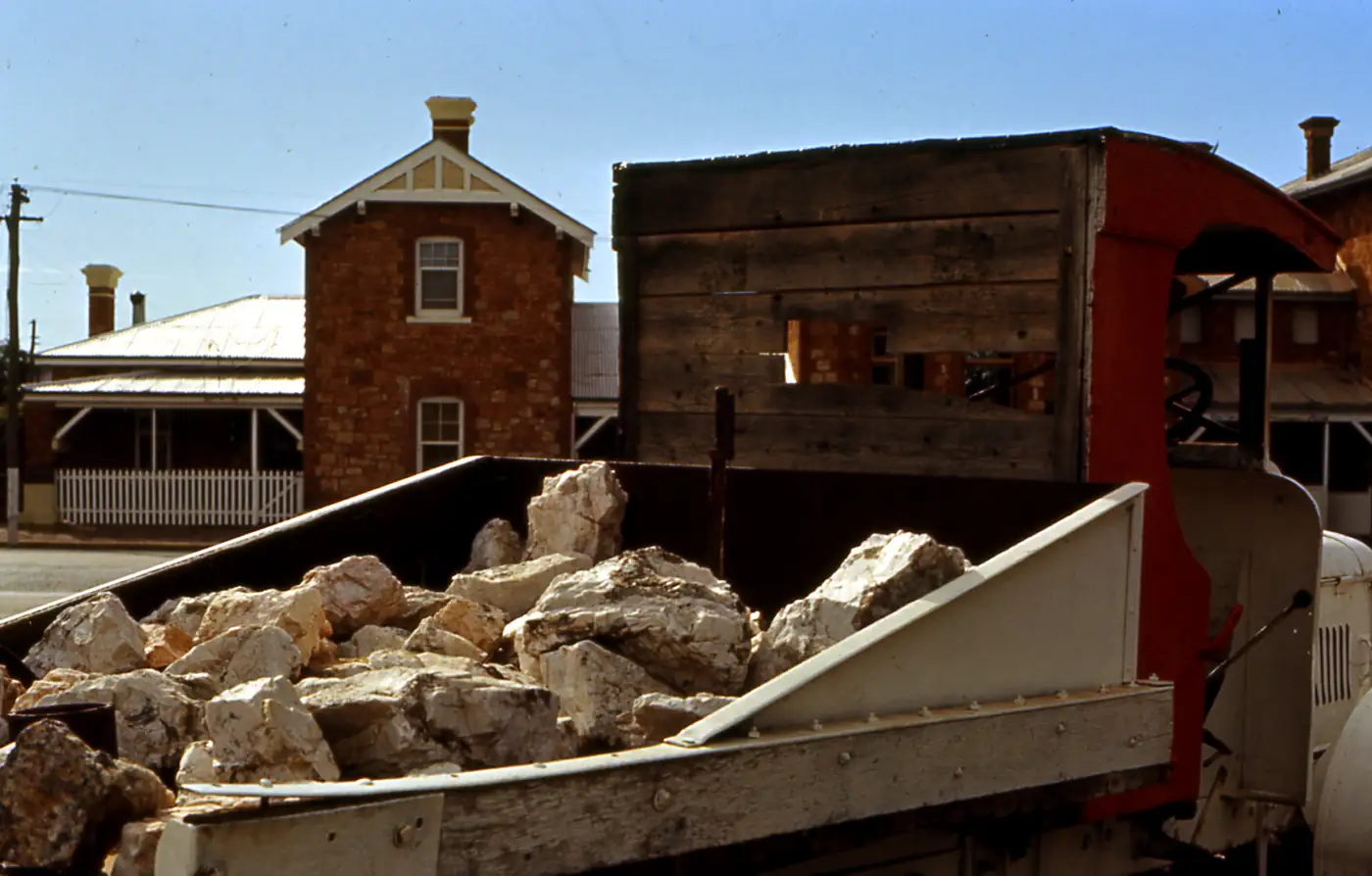
Coolgardie travel guide: the 1892 gold rush town with grand heritage buildings, the Goldfields Exhibition Museum and Warden Finnerty's Residence.
Read · 5 min
Western Australia · Goldfields
Leonora and Gwalia
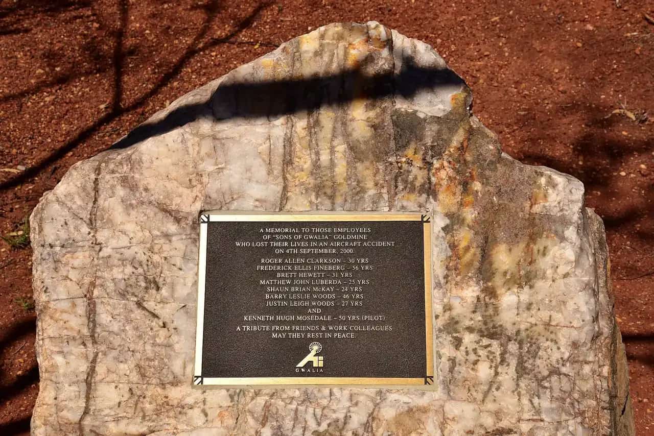
Leonora and Gwalia travel guide: the Goldfields town and neighbouring Gwalia ghost town, Hoover House, the Sons of Gwalia mine and travel tips.
Read · 5 min
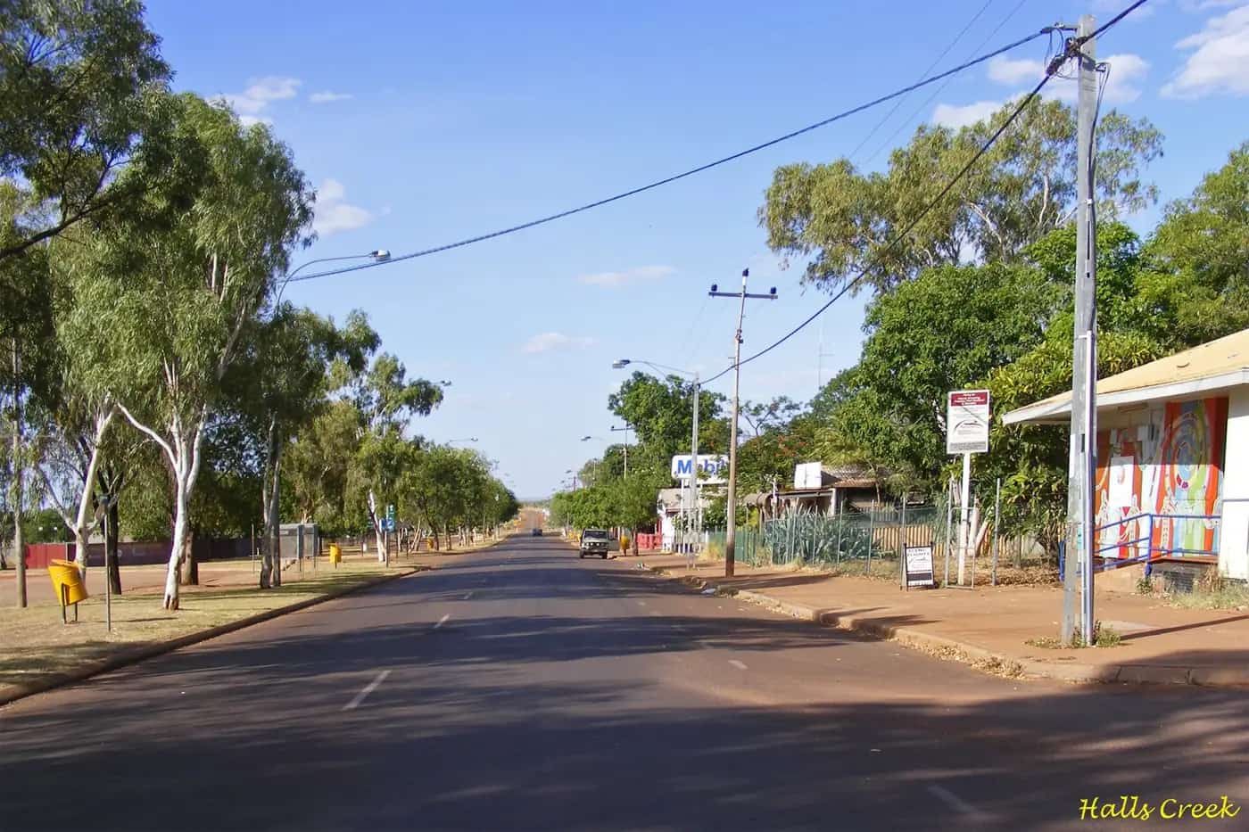
Western Australia · Kimberley
Halls Creek
Halls Creek travel guide: site of WA's first gold rush, the China Wall, Old Halls Creek ruins, Wolfe Creek Crater and travel tips in the Kimberley.
Read · 5 min
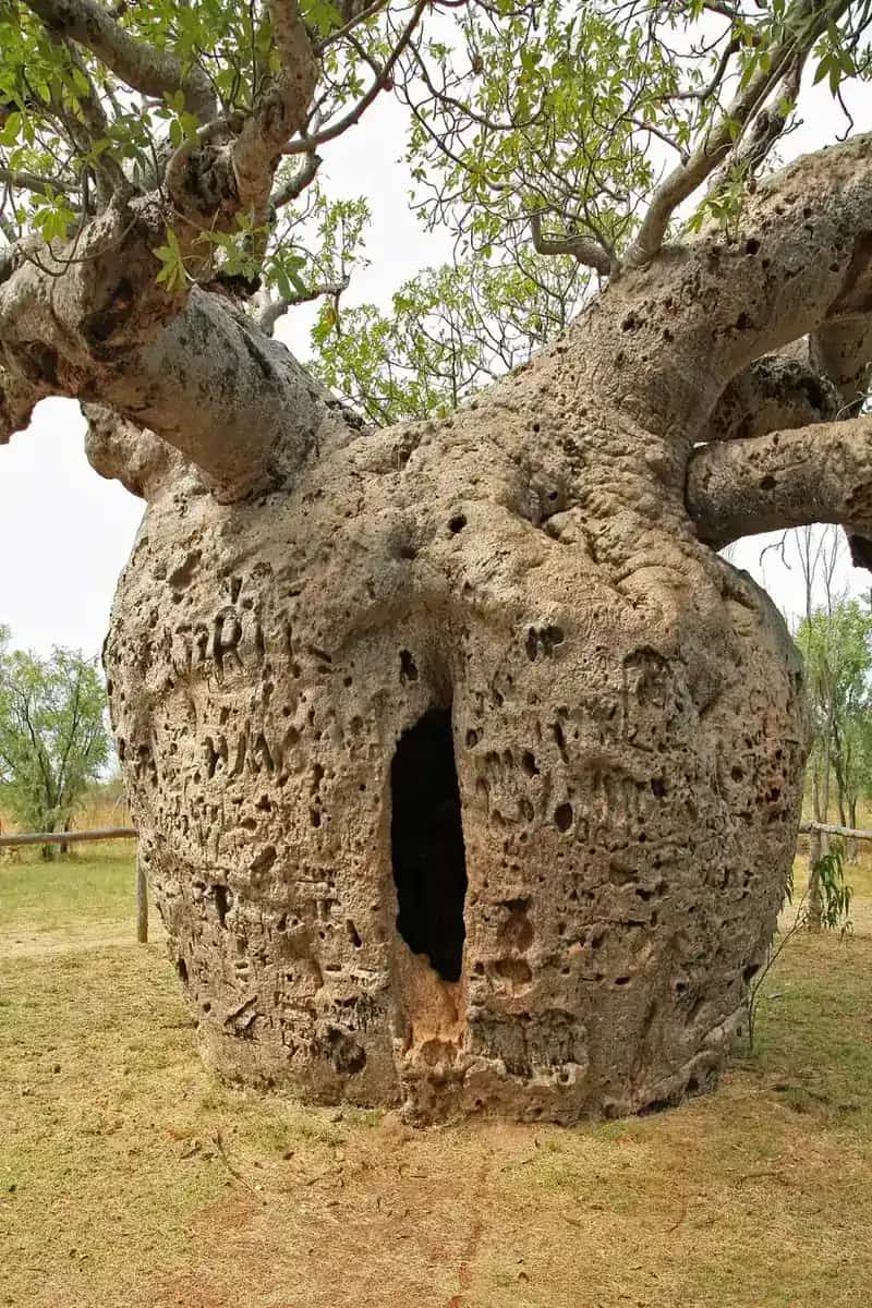
Western Australia · Kimberley
Derby
Derby travel guide: the King Sound town with huge tides, the Boab Prison Tree, the jetty, Horizontal Falls flights and the start of the Gibb River Road.
Read · 5 min
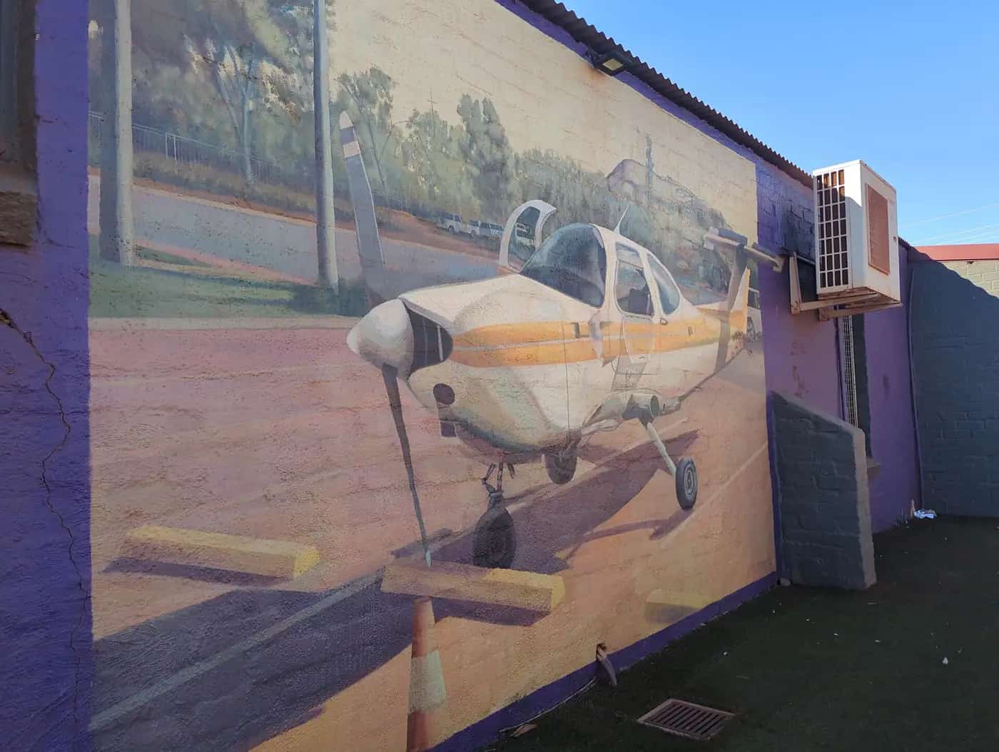
Western Australia · Pilbara
Newman
Newman travel guide: the Pilbara iron ore town at Mount Whaleback, Radio Hill lookout, Ophthalmia Dam and travel tips on the Great Northern Highway.
Read · 5 min
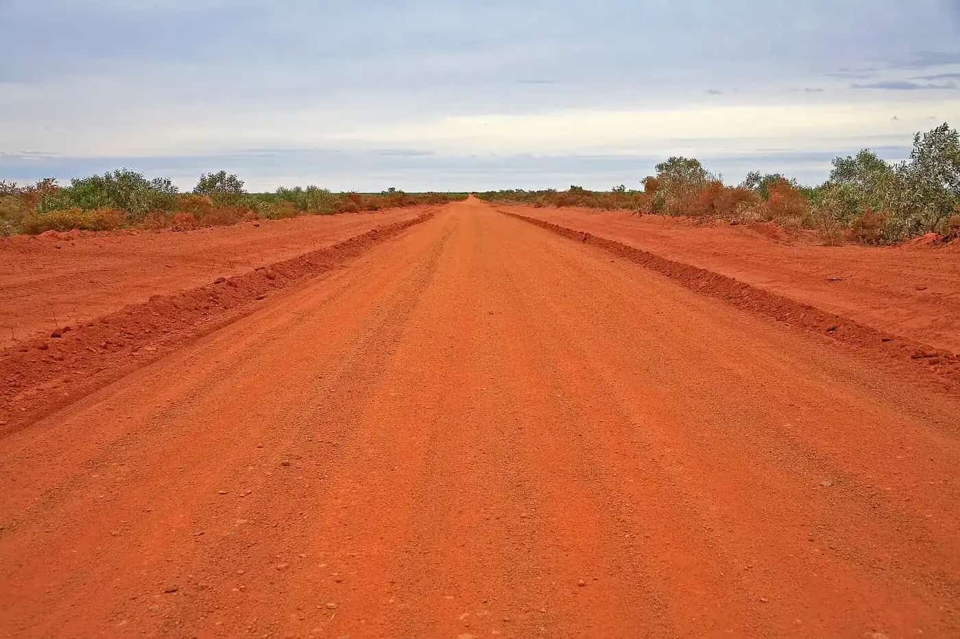
Western Australia · Gascoyne
Carnarvon
Carnarvon travel guide: the Gascoyne's coastal town 902 km north of Perth and gateway to the outback Kennedy Range and Mount Augustus. Covers the One Mile Jetty Precinct, the Space and Technology Museum, the Fruit Loop and growers' markets, Gwoonwardu Mia, how many days to spend, roads and when to visit.
Read · 4 min
Frequently asked questions
How big is outback Western Australia?
WA is Australia's largest state, covering about a third of the continent. Distances between outback towns are often 200 to 400 km, and Perth to Broome is about 2,200 km by the most direct inland route.
When should I visit the Kimberley?
In the dry season, roughly May to October. The Gibb River Road and many attractions close in the wet season.
Sources and further reading
Facts on this page were checked against these primary and official sources. Conditions change — confirm before you travel or buy.
- Main Roads WA travel map — Main Roads Western Australia
- Explore Parks WA — Parks and Wildlife Service WA
- Tourism Western Australia — Tourism Western Australia