The Gibb River Road runs through the heart of the Kimberley, on the Country of many Aboriginal groups, including the Ngarinyin, Worrorra, Bunuba and others. It began as a road built in the 1960s to move cattle from remote stations to the ports of Derby and Wyndham, and has become one of Australia's great 4WD adventures.
Highlights (west to east)
- Derby — western start, with the Prison Boab Tree and the long jetty.
- Windjana Gorge and Tunnel Creek — on a side road (check status), Windjana's limestone walls hold freshwater crocodiles and Devonian reef fossils; Tunnel Creek is a cave passage linked to the story of Jandamarra, the Bunuba resistance leader.
- Bell Gorge — waterfall and swimming hole in King Leopold Ranges Conservation Park.
- Mount Barnett and Manning Gorge — swimming, walking and camping.
- Mitchell Plateau turn-off — a long side trip via the Kalumburu Road to Mitchell Falls (Punamii-unpuu) in Mitchell River National Park; a Uunguu Visitor Pass is required.
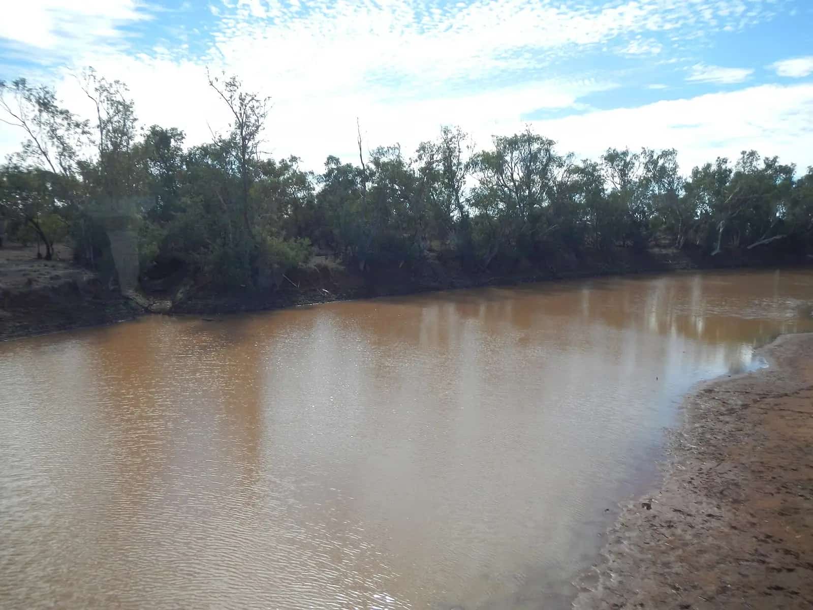
- Pentecost River crossing — a famous river crossing with views of the Cockburn Range.
- El Questro Wilderness Park — gorges, hot springs and accommodation; a park pass applies.
- Great Northern Highway junction — between Kununurra and Wyndham.
Conditions
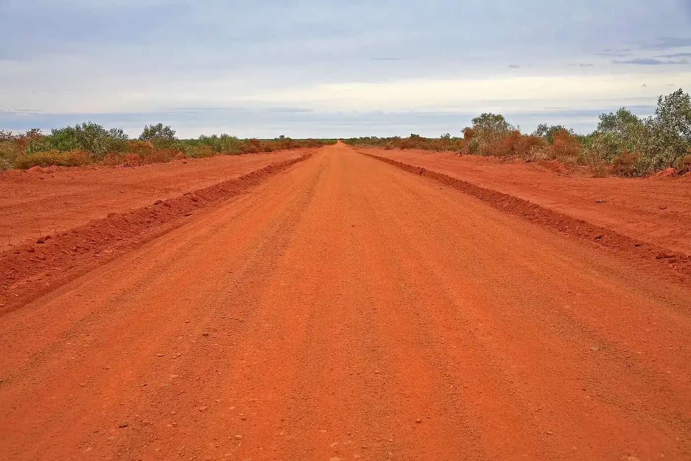
The road includes sealed sections at each end, but most is gravel with corrugations, stones and river crossings. Conditions vary through the season, worst after rain and heavy traffic. Lower tyre pressures appropriately, slow down and carry two spare tyres.
Fuel and supplies
Fuel has been available at places such as Imintji, Mount Barnett and El Questro, but supplies and hours vary. Carry enough fuel and food for extra days.
Permits and passes
WA national parks require a park pass. Some areas on Aboriginal land need visitor passes, such as the Uunguu Visitor Pass for Mitchell Plateau. Check requirements before you go.
Safety
Never swim where saltwater crocodiles may be present. Carry water, a satellite communication device and a first-aid kit. Do not attempt the road in the wet season.
Station stays
Working cattle stations along the Gibb offer camping, cabins and homestead accommodation, with access to gorges and waterholes on their land. Some, such as Home Valley and El Questro in the east, have extensive facilities; others are simpler. Book ahead in the peak season, and check opening dates, as stations close in the wet.
Suggested 10-day itinerary (west to east)
Days 1–2. Leave Derby, visit Windjana Gorge and Tunnel Creek, and camp near Windjana.
Day 3. Bell Gorge for a swim, then camp nearby.
Days 4–5. Manning Gorge and Mount Barnett, and Galvans Gorge.
Days 6–7. Side trip up the Kalumburu Road to Mitchell Falls (allow extra days if you plan the full trip).
Days 8–9. Pentecost River crossing, Home Valley and El Questro gorges and hot springs.
Day 10. Arrive in Kununurra or Wyndham.
Crocodiles and river crossings
Saltwater crocodiles live in some Kimberley rivers, including the Pentecost River. Never wade across crossings without checking depth and current from your vehicle, and never swim where signs warn of crocodiles. See our crocodile safety guide.
Tyres and corrugations
Punctures are common on the Gibb. Carry at least two spare tyres, a repair kit and compressor. Lower tyre pressures to suit the road, slow down on corrugations and watch for sharp rocks. Check your vehicle every evening.
Aboriginal Country
The Gibb crosses the Country of many Aboriginal peoples, including Bunuba, Ngarinyin and Wunambal Gaambera. Some sites require passes, such as the Uunguu Visitor Pass for the Mitchell Plateau. Respect closures and cultural sites, and consider Aboriginal-led tours. See Aboriginal-led experiences.
Fees and passes
Several gorges are within conservation parks or on station land, and fees may apply. El Questro requires a park pass, and the Mitchell Plateau requires a Uunguu Visitor Pass. Some stations charge for access to their gorges. Check current requirements and opening dates before you travel, as they can change from season to season.
What to bring
Bring enough food for several days between supply points, extra fuel, at least two spare tyres, recovery gear, a first aid kit and a satellite phone or PLB. Mobile coverage is very limited along the Gibb.
Communications
Mobile coverage along the Gibb River Road is limited to a few places, such as near Derby, Kununurra and some stations. For the rest of the route, carry a satellite phone or messenger and a registered personal locator beacon. A UHF radio is useful for talking to other drivers and road trains.
Towing on the Gibb
People do tow camper trailers along the Gibb, but corrugations and river crossings make it hard on trailers. Use an off-road trailer with good clearance, and check the hitch, bearings and suspension regularly. Some side tracks, including the Kalumburu Road and the track to Mitchell Plateau, are not recommended for trailers. Check current conditions.
Leave no trace
Take all rubbish out with you, as bins are few and far between. Use toilets where they're provided, and keep soaps and detergents out of waterholes and gorges.
Photography
The Kimberley's gorges, boab trees and red cliffs are spectacular in early morning and late afternoon light.
Related guides
For day-by-day plans, see the Kimberley road trip itineraries and the Kimberley region guide. If you're towing, read caravanning in the outback.
For 10-, 14- and 21-day plans and the east-versus-west question, see Gibb River Road itineraries.
Nearby park guide: Windjana Gorge and Tunnel Creek.
Related park guide: Mitchell River.
Frequently asked questions
How many days do you need for the Gibb River Road?
Allow at least a week; 10 to 14 days lets you explore gorges and side trips such as Mitchell Falls without rushing.
Do you need a 4WD for the Gibb River Road?
Yes. A high-clearance 4WD is strongly recommended for the unsealed sections, river crossings and corrugations. Many hire companies have specific rules about the Gibb.
When is the Gibb River Road open?
The road is generally open in the dry season, from around May to October or November, depending on rainfall. It can close at any time after rain. Check Main Roads WA before setting out.
When is the Gibb River Road open?
Generally only in the dry season, roughly May to October. It closes during the wet season, when rivers flood. Check the Main Roads WA travel map and the Shire road reports.
Do you need a 4WD for the Gibb River Road?
A well-equipped high-clearance 4WD is strongly recommended. The road has corrugations, rocky sections and river crossings such as the Pentecost River.
Are there crocodiles at the river crossings?
Saltwater crocodiles can be present in the Pentecost River and other waterways in the eastern Kimberley. Never walk crossings, and follow all signage.
Sources and further reading
Facts on this page were checked against these primary and official sources. Conditions change — confirm before you travel or buy.
- Mitchell River National Park — Parks and Wildlife Service WA
- Main Roads WA travel map — Main Roads Western Australia
- Explore Parks WA — WA Department of Biodiversity, Conservation and Attractions
- Gibb River Road (Wikipedia) — Wikipedia