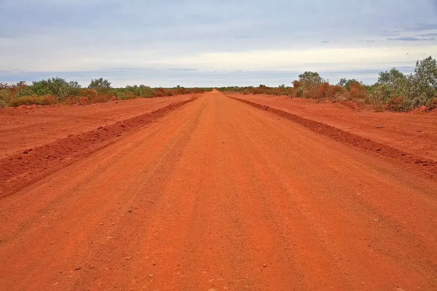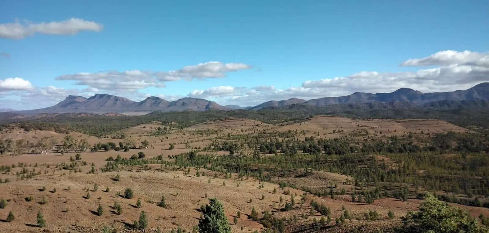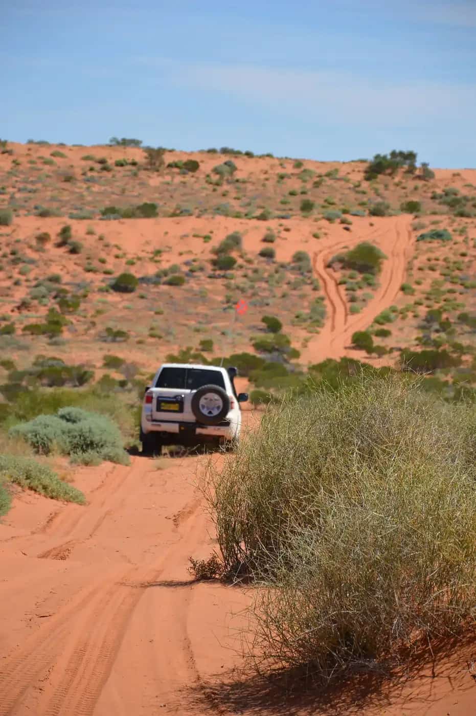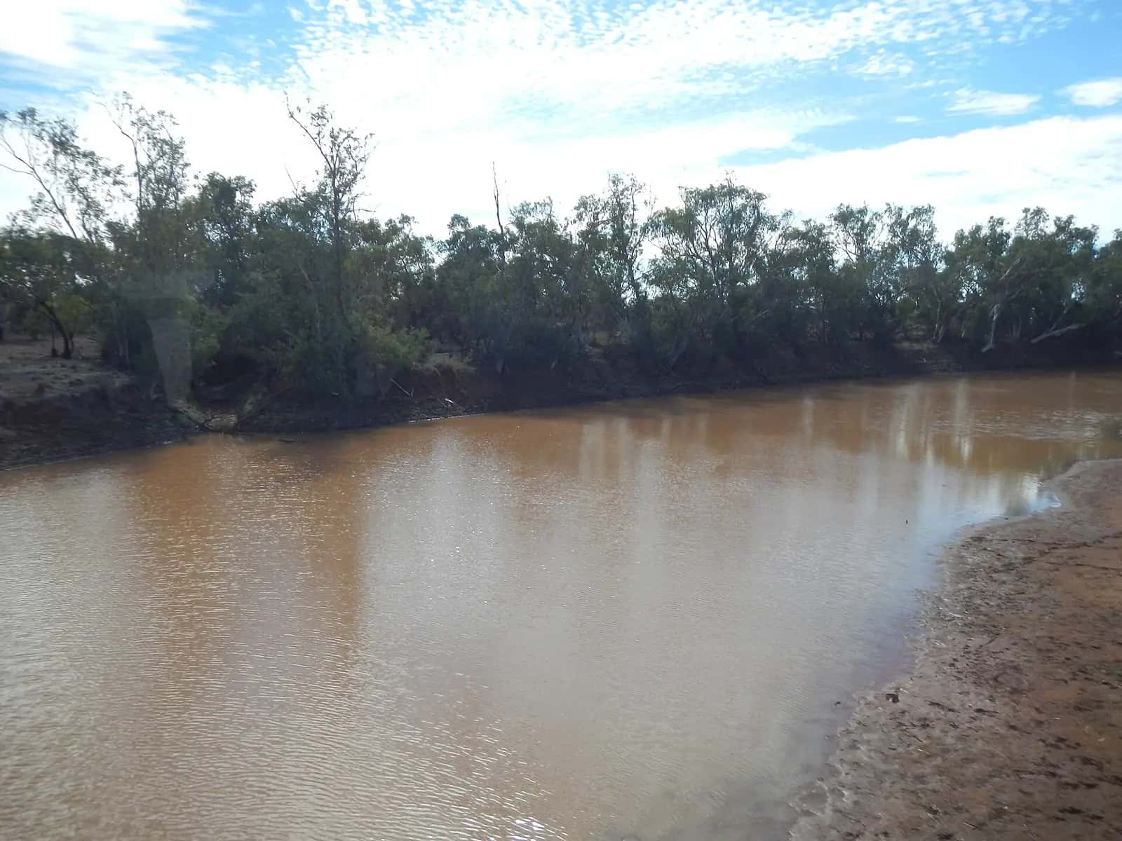
Outback roads are built for dry country. Many are unsealed, and they turn to mud, wash out or flood after rain. Others are sealed but cross low-lying floodways. Understanding the two rain patterns, the tropical wet season and inland storms and floods, helps you choose when to go and what to do when plans change.
The tropical wet season
Across the Top End, the Kimberley and the Gulf Country, the year divides into a wet season and a dry season. Tourism NT describes the NT wet season as November to April, when heavy rain is expected and roads may flood. Main Roads WA says the Gibb River Road is often closed during the wet season, which generally runs from December to April. That's because river crossings become impassable or the road is damaged. Work then begins to repair flood damage, and the road reopens only when it's safe.
Typical wet-season effects:
- Unsealed roads close for weeks or months. Examples include the Gibb River Road, parts of the Savannah Way and many station and park roads.
- Sealed highways can be cut temporarily at floodways and rivers.
- Seasonal park closures: for example, Parks and Wildlife WA's Purnululu campgrounds can only be booked for the tourist season (May to September).
- Tours and stations in the north often close or reduce services over the wet.
If you travel in the wet, stick to sealed routes and towns, build in flexibility, and expect to change plans. The wet season brings green country, full waterfalls and storms, and many locals love it, but it isn't the time for remote 4WD touring. See the Kimberley and Gulf Country guides.
Inland rain and floods
In the arid and semi-arid interior, rain is less predictable but just as disruptive.
- Storms: a single heavy fall can close tracks such as the Birdsville, Oodnadatta and Strzelecki for days. SA's Outback Road Warnings update closures and restrictions, including "4WD only", "no towing" and weight limits.
- Floodwater from afar: Channel Country rivers such as the Diamantina, Georgina and Cooper carry water from the north for weeks after the rain. Cooper Creek in flood can cut the Birdsville Track crossing for months. See Channel Country.
- Black soil: clay soils in western Queensland and parts of the NT become impassable even for 4WDs when wet.
Where to check road conditions
| State | Official source |
|---|---|
| NT | Road Report NT: roadreport.nt.gov.au, 1800 246 199 |
| Queensland | QLDTraffic: qldtraffic.qld.gov.au, 13 19 40 |
| WA | Main Roads WA Travel Map; Gibb River Road status boards near Derby and Kununurra |
| SA | DIT Outback Road Warnings |
| NSW | Live Traffic NSW and council road reports |
Shire and council roads, national park roads and station roads often have their own reports. Main Roads WA notes, for example, that Gibb River Road side roads are managed by other agencies. Check each one. See fuel, permits and road conditions.
Closed means closed
Tourism NT warns that heavy fines may apply for travelling on closed roads, and other states also fine drivers. Driving on wet unsealed roads damages them, delays reopening for everyone, and can leave you stranded and in danger.
Floodwater safety
Tourism NT's advice:
- Wait until the water drops below your vehicle's wading depth (check the owner's manual) before trying to cross.
- Never attempt fast-flowing water.
- Expect the road surface under the water to be damaged, even if you can't see it.
- If in doubt, find another route.
- In the north, don't enter floodwater or go near the water's edge, because of the high risk of saltwater crocodiles.
Heavy rain also reduces visibility and grip. Slow down, keep your headlights on, and pull over if you need to. See crocodile safety and 4WD recovery.
If you're stranded by rain
- Stay put on high ground, and don't try to drive out on closed roads.
- Ration your water and food, and tell someone where you are. Carry a satellite device.
- Roadhouses and towns may be cut off for days, so carry several days' extra supplies on remote routes. See water and food planning.
Choosing when to go
For most travellers, the dry season (around May to October) in the north and the cooler months (around April to September) in the interior are the safest times for unsealed roads. Even then, rain can fall. See best time to visit and outback weather by month.
Travelling in the wet season
If you do visit the north in the wet, these are generally the best options:
- Stick to sealed highways, such as the Stuart Highway, the Victoria Highway and the Great Northern Highway. Accept that even these can be cut briefly.
- Base yourself in towns like Darwin, Katherine, Kununurra or Broome, and take day trips and scenic flights. Seeing waterfalls from the air in the wet can be spectacular. See scenic flights and air tours.
- Book flexible accommodation and flights, and build spare days into your plans.
- Monitor BOM warnings for cyclones, severe storms and flooding.
The build-up and the end of the wet
The months before the rains arrive, often called the build-up, are hot and humid, with growing storms. At the end of the wet, roads reopen gradually as rivers drop and crews repair the damage. Main Roads WA notes, for example, that the Gibb River Road reopens only when it's safe. Early dry-season travellers get full waterfalls, but should expect some roads and campgrounds to open later than others.
Inland floods as a spectacle
Big floods in Channel Country can bring water to Kati Thanda–Lake Eyre. Birds arrive in their thousands, and the desert blooms. Scenic flights are the best way to see the flooded lake, and access by road may be cut for weeks. See Kati Thanda–Lake Eyre National Park.
Related guides
Frequently asked questions
When is the wet season in the outback?
In the tropical north (the Top End, Kimberley and Gulf Country), the wet season generally runs from about November to April. Tourism NT describes the NT wet season as November to April, and Main Roads WA says the Gibb River Road is often closed in the wet season, which generally runs from December to April.
Where can I check outback road closures?
Use the official sources: Road Report NT (roadreport.nt.gov.au or 1800 246 199), QLDTraffic (qldtraffic.qld.gov.au or 13 19 40), Main Roads WA's Travel Map, SA's Outback Road Warnings, and Live Traffic NSW, plus local council road reports for shire roads.
Can you drive on a closed outback road?
No. Tourism NT warns that heavy fines may apply for driving on closed roads, and SA and other states also fine drivers on closed roads. Driving on wet unsealed roads damages them and can strand you far from help.
Is it safe to drive through floodwater?
Generally no. Tourism NT advises waiting until water drops below your vehicle's wading depth (check the owner's manual), never attempting fast-flowing water, and expecting damage to the road surface underneath. In the north, stay away from floodwater and water edges because of saltwater crocodiles.
Sources and further reading
Facts on this page were checked against these primary and official sources. Conditions change — confirm before you travel or buy.
- Road safety — Tourism NT
- Road Report NT — Northern Territory Government
- Driving Gibb River Road — Main Roads Western Australia
- Outback road warnings — Department for Infrastructure and Transport, South Australia
- Rest areas and QLDTraffic — Queensland Government
- Kurrajong Campground, Purnululu — Parks and Wildlife Service WA