The Pilbara covers a huge area of Western Australia, but most of its people live in a handful of towns. Some are coastal ports, like Karratha, Dampier and Port Hedland. Others are inland mining towns, like Newman, Tom Price and Paraburdoo. Between them lie spinifex plains, rugged ranges and deep gorges, on the Country of many Aboriginal groups, including the Banyjima, Kurrama, Yinhawangka, Ngarluma, Yindjibarndi and Nyamal peoples, among others.
Highlights
Karijini National Park
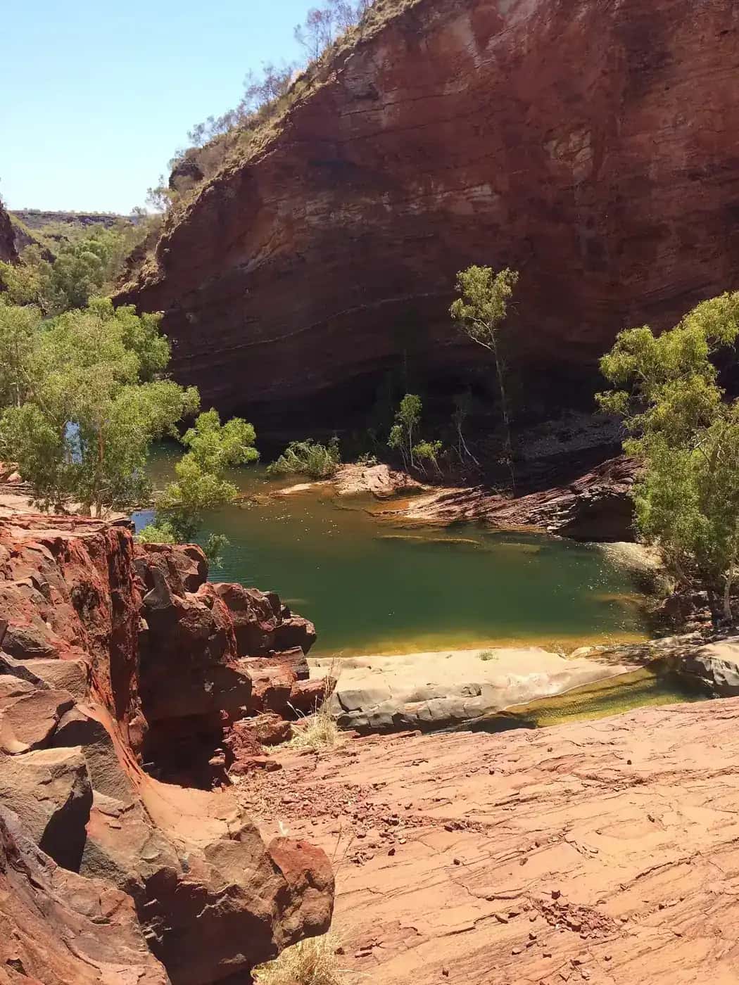
Karijini, in the Hamersley Range, is the Pilbara's best-known destination. It's famous for gorges such as Dales, Hancock, Weano, Kalamina and Hamersley, and for pools like Fern Pool and Fortescue Falls. Some gorge walks are short and easy, but others involve scrambling, wading and narrow ledges. Our Karijini National Park guide covers walks, camping, safety and access. Tom Price is the nearest town with full services.
Millstream Chichester National Park
Inland from Karratha, Millstream Chichester National Park combines the spring-fed oasis of Millstream, including Deep Reach Pool, with the rugged Chichester Range. Australia's North West puts it about 134 km from Karratha, or roughly two and a half hours' drive. Parts of the access are unsealed, so check the park's alerts before you go.
Murujuga
The Burrup Peninsula and the Dampier Archipelago near Karratha hold one of the world's largest concentrations of rock engravings, or petroglyphs. Murujuga National Park is jointly managed with the Murujuga Aboriginal Corporation, and the Murujuga Cultural Landscape was inscribed on the World Heritage List in 2025. Australia's North West puts the park about 20 minutes from Karratha. Guided tours with Aboriginal rangers are the best way to understand the site. See rock art sites.
Coastal towns and islands
Around Karratha, the historic port of Cossack and the town of Point Samson are popular stops. The islands of the Dampier Archipelago are reached by boat. Further north-east, Port Hedland is one of the world's largest bulk export ports, and the ore trains and ships are a sight in themselves.
Marble Bar and the eastern Pilbara
Marble Bar is known for its record-breaking run of hot days in the 1920s and for the jasper bar in the Coongan River that gave the town its name. Newman is the main town in the east, near one of the world's largest open-cut iron ore mines. Travellers heading for the Canning Stock Route, which starts at Wiluna to the south, sometimes pass through Newman.
Ancient rocks and early life
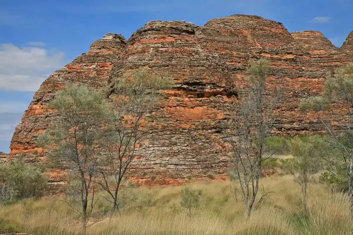
The Pilbara is one of the oldest pieces of continental crust on Earth. Geologists call it the Pilbara Craton. Rocks in parts of the region are around 3.5 billion years old, and some contain stromatolites, layered structures built by microbial communities that are among the oldest evidence of life yet found. The banded iron formations visible in Karijini's gorge walls formed in ancient seas and are the source of the region's iron ore. Visitor centres in Karratha, Tom Price and Newman have interpretive displays, and park signs in Karijini explain the rock layers you'll walk past.
Mining towns
Most inland Pilbara towns were built from the 1960s onwards to house mine workers. They have supermarkets, fuel, medical services and accommodation. Visitor centres can tell you whether mine lookouts or tours are available, because access to mine sites changes with operating and safety needs. Expect accommodation to be expensive and sometimes fully booked by workers, so book ahead.
Camping
Karijini has campgrounds run by Parks and Wildlife Service WA, and Millstream Chichester has campgrounds too. Bookings may be needed in peak season. Free camping is limited near towns and is restricted on mining and pastoral leases, so check signs and local rules. See our outback camping guide.
Weather and the best time to go
Bureau of Meteorology long-term averages for Newman Aero show the inland pattern.
| Month | Mean max (°C) | Mean min (°C) | Mean rain (mm) |
|---|---|---|---|
| January | 39.2 | 25.3 | 68.2 |
| April | 32.1 | 17.7 | 20.6 |
| July | 23.2 | 6.4 | 12.8 |
| October | 35.3 | 17.8 | 5.6 |
Source: BOM climate statistics for Newman Aero (007176). Averages hide extremes. Summer days well above 40°C are common inland.
The cooler months, roughly April or May to September, are the most comfortable for walking and camping. Summer is very hot. It's also cyclone season along the coast, with heavy rain and flash flooding possible inland. Karijini's gorges can be dangerous after rain, and walks may close. See our outback weather by month guide.
Getting there and around
- Fly: there are commercial flights from Perth to Karratha, Port Hedland, Newman and Paraburdoo. Paraburdoo is the closest airport to Karijini.
- Drive: the Great Northern Highway runs inland through Newman to Port Hedland. The North West Coastal Highway follows the coast through Carnarvon and Karratha. Both are sealed, but distances between fuel stops are long.
- Unsealed roads: many park roads and station tracks are unsealed and can close after rain. Some mine-access roads are private and need permission to use.
How long to spend
- 3 to 4 days: fly to Paraburdoo or Newman and spend most of your time in Karijini.
- One week: combine Karijini with Millstream Chichester, then visit Karratha, Murujuga and the coast.
- Two weeks or more: drive from Perth or to the Kimberley, taking in Karijini, the coast and Marble Bar. See our Perth to Darwin road trip.
Safety
- Carry plenty of water, fuel and food, because services are far apart.
- Mining traffic, including road trains and heavy vehicles, is common, so drive with care.
- Saltwater crocodiles can occur in some Pilbara coastal waters and rivers. Follow local signs before swimming.
- Gorge walking can be dangerous. Stay on marked trails, obey closures and take extra care after rain.
- Mobile coverage is limited outside towns. Carry a PLB or satellite communicator, as our remote area travel safety guide explains.
Related guides
Frequently asked questions
Where is the Pilbara in Australia?
The Pilbara is in the north-west of Western Australia, south of the Kimberley and north of the Gascoyne and Mid West. Its coast runs along the Indian Ocean from around Onslow to beyond Port Hedland, and its inland ranges include the Hamersley Range, home to Karijini National Park.
How far is the Pilbara from Perth?
It's a long way. Australia's North West puts Karijini National Park about 1,400 km north of Perth, roughly 15 hours' drive on the inland route. Karratha is about 1,535 km from Perth, and Port Hedland is further still. Many visitors fly from Perth to Karratha, Port Hedland, Newman or Paraburdoo.
What is the Pilbara famous for?
The Pilbara is famous for its iron ore mining, red ranges and gorges, and some of the oldest rocks and fossils on Earth. It's also home to Karijini National Park and to the Murujuga rock engravings on the Burrup Peninsula, which were World Heritage-listed in 2025.
What is the best time to visit the Pilbara?
The cooler months, roughly April or May to September, are the most comfortable. Bureau of Meteorology averages for Newman show mean maximums around 23°C in June and July and above 39°C in December and January. The summer months also bring cyclone risk near the coast and heavy rain inland.
Sources and further reading
Facts on this page were checked against these primary and official sources. Conditions change — confirm before you travel or buy.
- Karijini National Park — Australia's North West
- Karratha — Australia's North West
- Millstream Chichester National Park — Australia's North West
- Climate statistics for Newman Aero (007176) — Bureau of Meteorology
- Kimberley & Pilbara seasons — Australia's North West