This route was one of the original Outback Now's most popular itineraries. It is the classic north–south crossing of Australia, largely following the line of John McDouall Stuart's 1862 expedition and the Overland Telegraph.
Route and distances (approximate)
| Leg | Distance |
|---|---|
| Adelaide – Port Augusta | 310 km |
| Port Augusta – Coober Pedy | 540 km |
| Coober Pedy – Kulgera (NT border area) | 410 km |
| Kulgera – Alice Springs | 275 km |
| Alice Springs – Tennant Creek | 505 km |
| Tennant Creek – Katherine | 670 km |
| Katherine – Darwin | 320 km |
Add about 500 km return for the Uluru detour from Erldunda (it is about 245 km from Erldunda to Yulara).
Highlights
- Flinders Ranges detour from Port Augusta.
- Coober Pedy — underground town and opal fields.
- Uluru-Kata Tjuta and Kings Canyon — via the Lasseter Highway.
- Alice Springs and the MacDonnell Ranges.
- Karlu Karlu / Devils Marbles — granite boulders south of Tennant Creek.
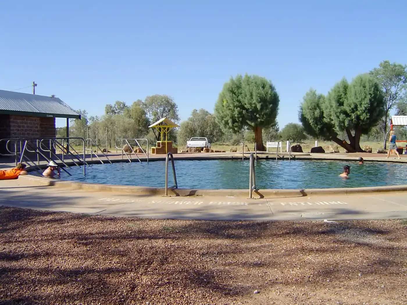
- Daly Waters Pub and the Mataranka thermal pools.
- Katherine and Nitmiluk Gorge.
- Litchfield National Park before Darwin.
Suggested 12-day itinerary
- Adelaide to Port Augusta (or Flinders Ranges)
- To Coober Pedy
- Coober Pedy
- To Yulara (Uluru)
- Uluru-Kata Tjuta
- Kings Canyon
- To Alice Springs (via Ernest Giles Road/Mereenie Loop with permit, or back via the highway)
- West MacDonnell Ranges
- To Tennant Creek via Karlu Karlu
- To Mataranka
- Katherine and Nitmiluk
- To Darwin via Litchfield
Tips
Fill up at every opportunity, especially between Coober Pedy and Kulgera. The Ghan runs the same corridor if you prefer rail. Travel between April and September for the Centre and May to October for the Top End.
The Stuart Highway
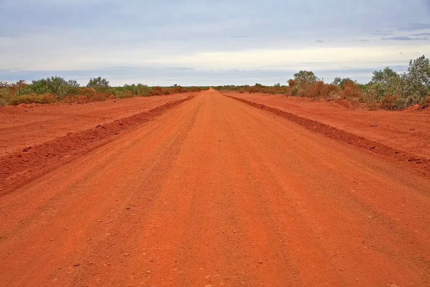
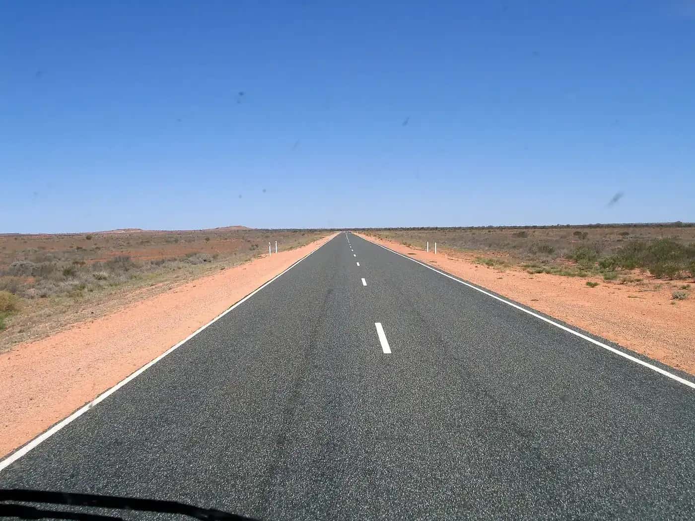
The Stuart Highway runs about 3,000 km from Port Augusta, at the head of Spencer Gulf, to Darwin. It is sealed all the way and named after John McDouall Stuart, whose 1862 south–north crossing it broadly follows, as did the Overland Telegraph Line a decade later. It's a road of contrasts: salt lakes and gibber plains in South Australia, red sand country and the MacDonnell Ranges in the centre, the vast cattle country of the Barkly region, and finally the tropical savanna of the Top End.
South Australia: Port Augusta to the border
Port Augusta is the last city before the outback. North of it, the highway passes the rocket range town of Woomera (a short detour, with a heritage centre and missile park), and a string of salt lakes including Lake Hart, where a rest area overlooks the white lakebed. Glendambo is a roadhouse stop before the long run to Coober Pedy. North of Coober Pedy, Cadney Park and Marla are the main fuel stops before the NT border. Marla is also the junction for the Oodnadatta Track.
The Red Centre
At Erldunda, the Lasseter Highway heads west to Yulara and Uluru-Kata Tjuta. Kings Canyon is reached either via the sealed Luritja Road or the unsealed Mereenie Loop, which needs a permit because it crosses Aboriginal land; permits are available in Alice Springs, Kings Canyon and Hermannsburg. Many travellers spend a week or more in the Red Centre, exploring the West MacDonnell Ranges and the East MacDonnells from Alice Springs.
Alice Springs to Tennant Creek
North of Alice Springs, the highway crosses the Tropic of Capricorn, passes the Aileron roadhouse with its giant Anmatjere man sculpture, Ti Tree and Barrow Creek, with its historic telegraph station. Wycliffe Well markets itself as a UFO hotspot, and soon after, Karlu Karlu / Devils Marbles Conservation Reserve has a campground among the granite boulders — spectacular at sunrise and sunset. Tennant Creek has the Nyinkka Nyunyu Art and Culture Centre and gold-mining history.
The Barkly to the Top End
North of Three Ways, where the Barkly Highway heads east to Queensland, the highway passes Renner Springs, Elliott and Newcastle Waters, a historic droving town. Daly Waters is famous for its pub and as one of the stops on the early air route to England. Larrimah has a small museum, and Mataranka is known for thermal springs in Elsey National Park. Beyond Katherine, the highway passes Pine Creek, a gold-rush town, and Adelaide River, with its war cemetery, before reaching Darwin.
Driving tips
- Speed limits. Some sections of the Stuart Highway in the NT have higher speed limits than elsewhere in Australia; check signage and drive to conditions.
- Road trains. Road trains up to around 53 m long use the highway. Give them room and only overtake when you can see a long way ahead.
- Fatigue. Long, straight sections are monotonous. Plan days of about 400–500 km, rest every two hours and swap drivers.
- Night driving. Avoid it — cattle, kangaroos, camels and wedge-tailed eagles are common. See kangaroos and driving safety.
- Heat. Summer temperatures in the centre are extreme. Carry plenty of water, and stay with your vehicle if it breaks down.
When to go
The dry season and the cooler months in the centre, roughly April to September, are the most comfortable time. Winter nights in the centre can drop below freezing, while the Top End is warm all year. The wet season (November to April) brings humidity, storms and flooding in the north; some side roads close. See best time to visit.
The Ghan
If you'd rather not drive, the Ghan train runs between Adelaide, Alice Springs and Darwin on a schedule that varies by season, with off-train excursions at Katherine, Alice Springs and Coober Pedy or Manguri in some itineraries (see the Ghan stops). Combine train and car with a hire vehicle in Alice Springs or Darwin.
On the way: Karlu Karlu / Devils Marbles, Kings Canyon, Litchfield and Kakadu. See also road trains and our full Stuart Highway guide.
Frequently asked questions
How many days to drive from Adelaide to Darwin?
The drive is about 3,000 km. It can be done in four to five long days, but most travellers allow 10 to 14 days including side trips to Uluru, the MacDonnell Ranges and Nitmiluk.
Is the road from Adelaide to Darwin sealed?
Yes. The Stuart Highway is sealed all the way. Side trips to some attractions involve unsealed roads.
Where should I stop between Adelaide and Darwin?
Popular overnight stops include Port Augusta, Coober Pedy, Marla or Kulgera, Uluru (via a detour), Alice Springs, Tennant Creek, Daly Waters or Mataranka, and Katherine.
What is the road like from Adelaide to Darwin?
A two-lane sealed highway with long straight stretches, road trains and wildlife. Most of the NT section has a posted limit up to 130 km/h on open roads; drive to conditions and avoid dawn, dusk and night.
Sources and further reading
Facts on this page were checked against these primary and official sources. Conditions change — confirm before you travel or buy.
- Road report NT — Northern Territory Government
- Outback road warnings — Department for Infrastructure and Transport SA
- Explorers Way — Tourism NT