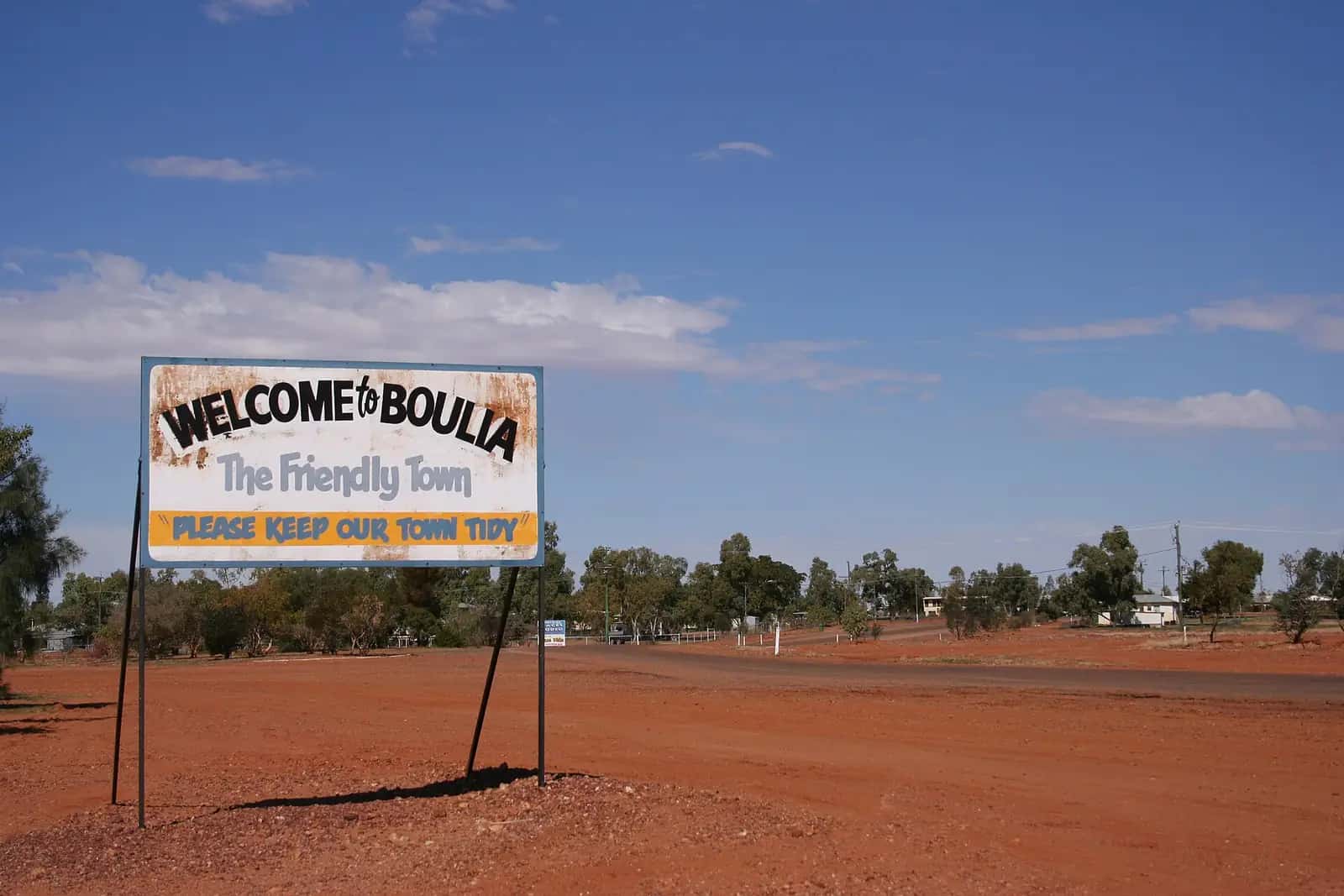
Boulia sits on the Burke River in western Queensland, on Pitta Pitta Country, about 300 km south of Mount Isa. It is a small service town for the surrounding cattle stations and a stop on the route between Winton, Bedourie and Birdsville.
Things to do
Min Min Encounter. An interpretive centre and visitor information centre that recreates the Min Min light legend with an animatronic show, and doubles as the town's tourism hub.
Stone House Museum. One of the oldest buildings in town, with displays on local history, Aboriginal heritage and marine fossils found in the district.
Burke and Wills history. The ill-fated expedition passed through the region in 1861; a tree marked by the party is nearby.
Boulia Camel Races. Held annually, the races have become one of Australia's biggest camel racing events. See outback camel races.
History and Country
Boulia is on the Country of the Pitta Pitta people, who have lived along the Burke River for thousands of years. The town was established in the late 1870s at a crossing of the Burke River and grew as a service centre for pastoral stations. Burke and Wills passed through the district in 1861.
The Min Min light
Boulia is best known for the Min Min light — mysterious lights reported by travellers and station workers across the Channel Country for over a century. Explanations range from bioluminescence to light refraction (a "Fata Morgana" effect), but none has been fully proven. The Min Min Encounter in town presents the legend and local stories in an interactive show.
Stonehouse Museum
The Stonehouse, built in the 1880s from local stone, is one of the oldest buildings in western Queensland. It is now a museum displaying pioneering life and marine fossils from the ancient inland sea.
Boulia Camel Races
Boulia's camel races, held each July, are among the best-known in Australia, with races, markets and entertainment. See our camel races guide.
Burke River and waterholes
The Burke River has permanent waterholes near town, ideal for picnics and birdwatching. The Boulia Sporting Complex hosts events.
Seasons
The cooler months suit visitors best. Summers are hot and dry with occasional storms.
Getting there
Boulia lies about 300 km south of Mount Isa on the Diamantina Developmental Road, and around 365 km west of Winton via the Kennedy Developmental Road. Roads are partly unsealed; check QLDTraffic.
Where to stay and eat
A hotel, caravan park and cafés serve travellers; fuel and supplies are available.
A two-day itinerary
Day 1: Stonehouse Museum, a walk along the Burke River waterholes, and the Min Min Encounter in the evening.
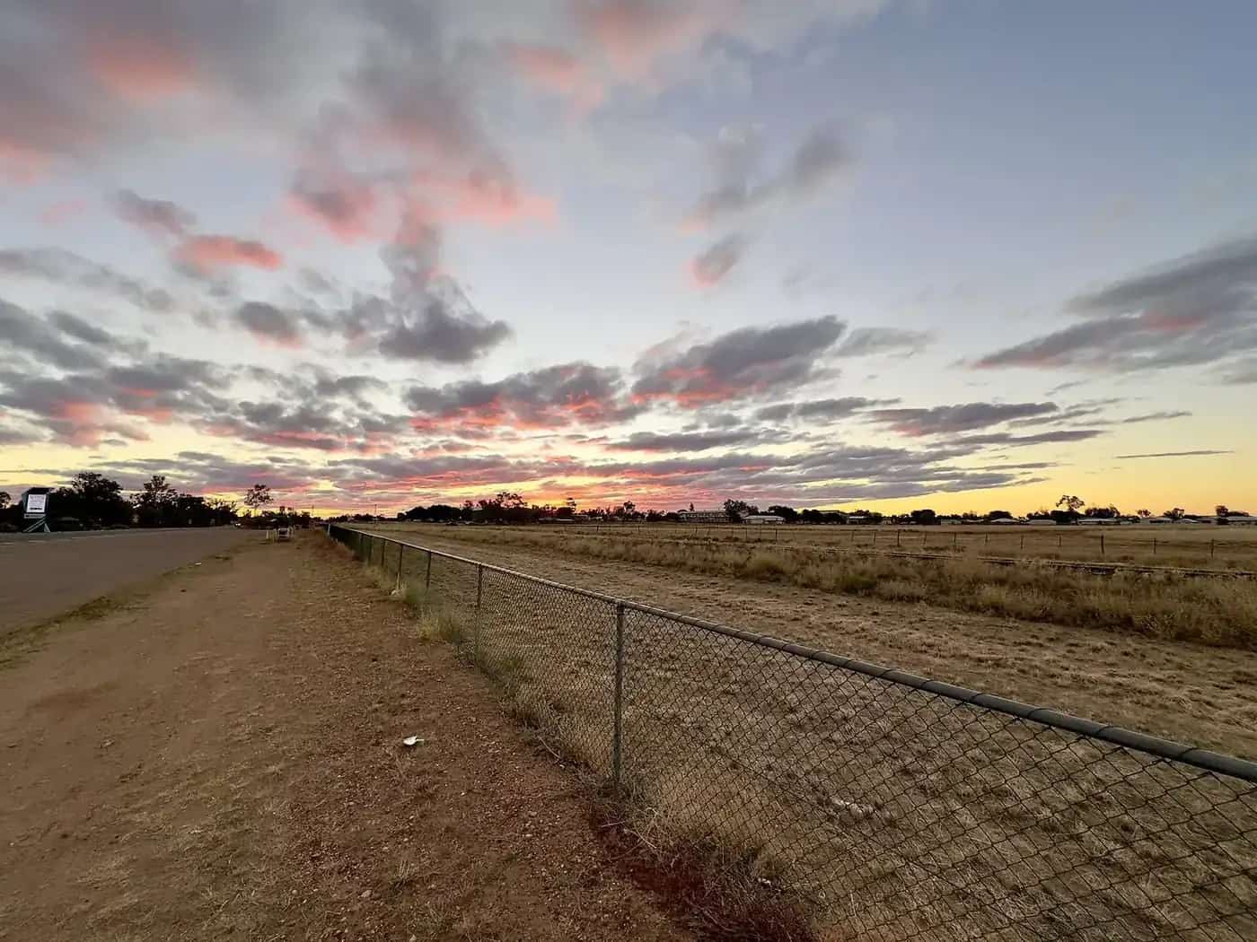
Day 2: Drive out to the Hamilton Hotel ruins or the Burke and Wills tree sites (ask locally for directions and road conditions), then watch sunset over the plains — and keep an eye out for strange lights on the drive back.
The Channel Country
Boulia lies at the edge of the Channel Country, a vast region of braided rivers and floodplains. After rain in the north, water spreads slowly across these plains, turning them green and attracting birdlife. In dry times the country is open and stark. It is cattle country, with some of the largest stations in Queensland.
Safety tips
Distances between towns are long. Carry spare fuel, water and tyres, and a satellite communication device. Unsealed roads close after rain; observe closures, and check QLDTraffic and the Boulia Shire Council road report before setting out. Avoid driving at night because of cattle and wildlife.
Respecting Country
Many sites in the district hold cultural significance for the Pitta Pitta people. Stay on public roads, do not disturb artefacts, and follow any signs asking visitors to keep out.
Who it suits
Boulia suits travellers interested in outback mysteries, fossils and camel racing, as well as those crossing the Channel Country between Mount Isa, Winton and Birdsville.
Fuel, phones and medical help
Fuel is available in town. Mount Isa is about 303 km north and Winton about 366 km east, and there is no fuel on the Winton road, so fill up before leaving either town. Boulia Primary Health Care Centre on Wills Street provides primary care, with on-call nursing and access to the Royal Flying Doctor Service.
Travelling with kids
Kids usually enjoy the Stonehouse Museum and the Min Min Encounter, which tells the story of the famous lights.
Where to next
- Bedourie — about 190 km south, with an artesian spa and the Bedourie camel races.
- Winton — about 365 km east.
- Mount Isa — about 300 km north.
- Birdsville — about 390 km south via Bedourie.
Packing tips
Bring a hat, sunscreen, plenty of water and a torch for the Min Min Encounter and the camping areas. In July, pack warm clothes for the cold desert nights during camel race week.
Fossils of the inland sea
The Boulia district lies over the same Cretaceous marine sediments as Richmond. Fossils of ichthyosaurs, plesiosaurs and fish have been found on local properties, and some are displayed at the Stonehouse Museum.
Diamantina National Park from Boulia
Boulia is the closest town to Diamantina National Park. Queensland Parks and Wildlife Service says the park is 183 km south-east of Boulia, compared with 306 km from Winton, 350 km from Windorah and 275 km from Bedourie. QPWS lists Boulia, Winton and Windorah as the nearest places for fuel and supplies.
The 507,000-hectare park became a national park in 1992 and is the traditional homeland of the Maiawali people. It covers sandstone ranges, the channels and waterholes of the Diamantina River, Mitchell grass plains and dune fields. Highlights include:
- Janets Leap lookout. A view over the braided channels of the Diamantina River.
- Warracoota circuit drive. A 90 km circuit past pastoral relics and stone ruins.
- Riverside camping. Camping at Hunters Gorge and Gum Hole (Nandibargoola).
QPWS recommends a high-clearance 4WD. Roads are unsealed for 200 to 300 km and can be deeply corrugated. There is no mobile coverage. Carry at least two weeks of extra supplies in case rain strands you. Boulia's own approved waste facilities are among those QPWS lists for emptying chemical toilets.
See our Diamantina National Park guide for camping, wildlife and safety.
Practical information
Boulia has fuel, a store, a hotel, a caravan park and a clinic. Roads to Winton and Mount Isa are sealed; roads south to Bedourie and Birdsville have unsealed sections. Check QLDTraffic.
Explore nearby
Frequently asked questions
What is the Min Min light?
A mysterious light reported for more than a century by travellers and stockmen in western Queensland, often around Boulia. Explanations range from atmospheric refraction to folklore. The Min Min Encounter in Boulia tells the story.
When are the Boulia Camel Races?
The races are traditionally held in July. Check the official event website for the current year's date and program.
How far is Boulia from Mount Isa?
Boulia is about 300 km south of Mount Isa. Check Queensland Traffic or phone 13 19 40 for current conditions before you go.
Is Boulia worth visiting?
Yes, especially for the Min Min Encounter, the Stonehouse Museum, the Boulia Camel Races in July and as a base for Diamantina National Park, 183 km to the south-east.
Sources and further reading
Facts on this page were checked against these primary and official sources. Conditions change — confirm before you travel or buy.
- Boulia Shire Council — visit Boulia — Boulia Shire Council
- Boulia Camel Races — Boulia Camel Races
- Diamantina National Park: visiting safely — Queensland Parks and Wildlife Service