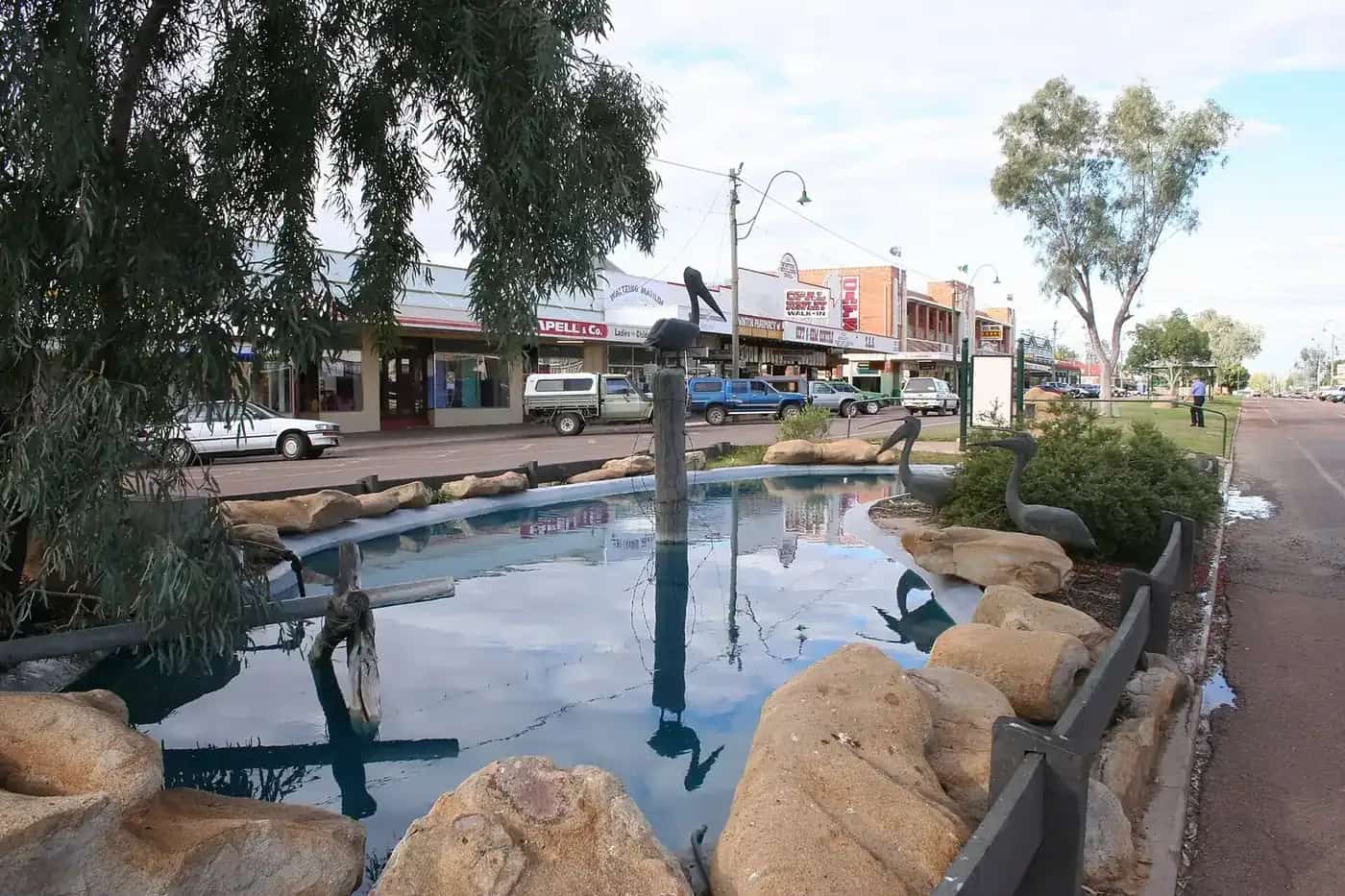
Windorah sits on the edge of the Channel Country, a short drive from Cooper Creek, where the Thomson and Barcoo rivers meet. The permanent population is very small, but the town is a vital stop for travellers heading west to Birdsville and for those exploring the Cooper's floodplains.
History and Country
Windorah is on the Country of the Mithaka people. The name is often said to come from an Aboriginal word meaning "big fish". The township developed in the late nineteenth century as a service centre for pastoral stations. Cooper Creek, with its braided channels, has been a source of life for thousands of years.
Things to do
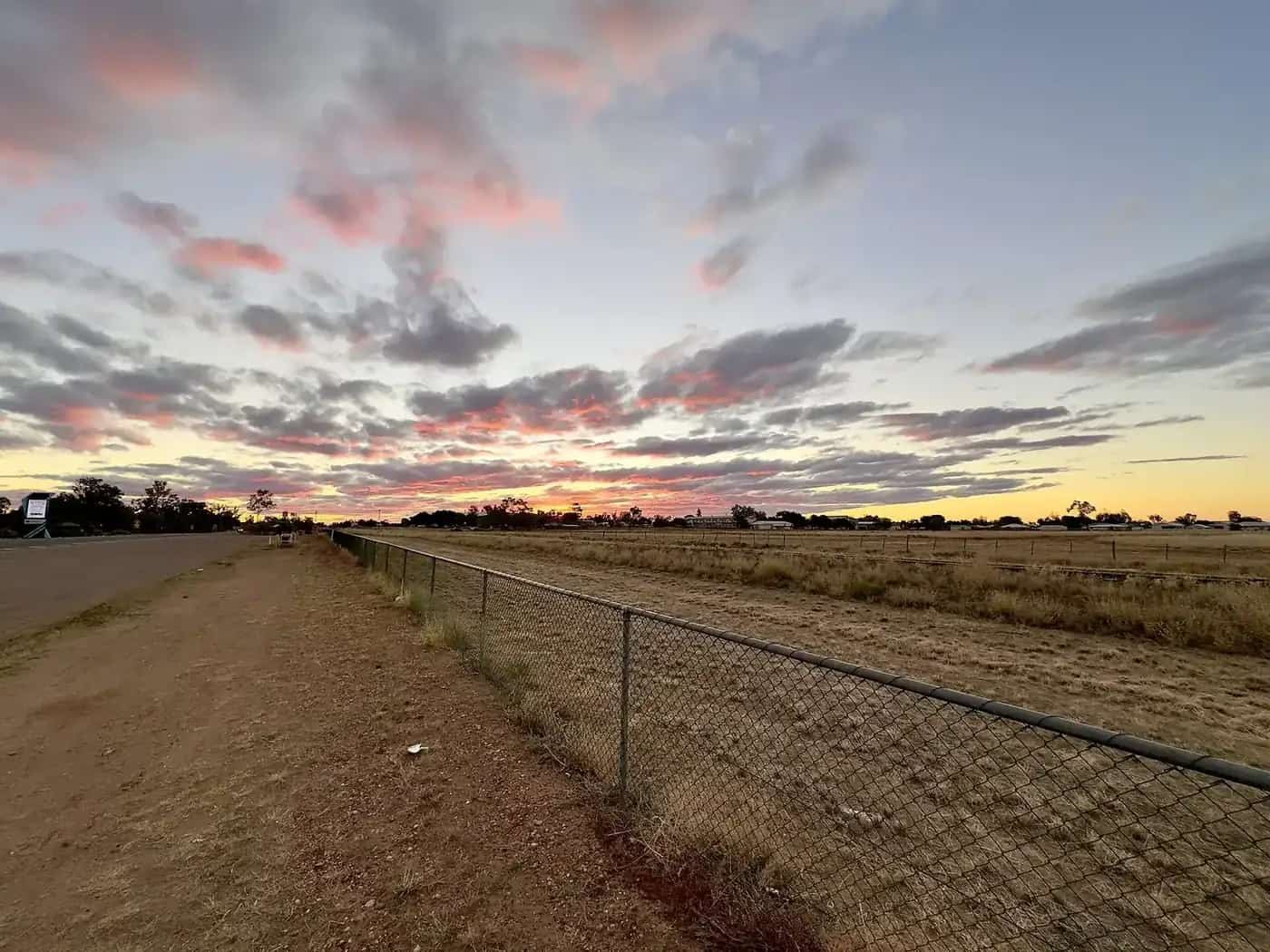
Red sandhills. About 10 km west of town on the road to Birdsville, a set of red sandhills offers great views — especially at sunset.
Cooper Creek. The creek crossing east of town is a popular spot for fishing (yellowbelly and other native fish), camping and birdwatching. Check rules for camping and fishing.
Windorah solar farm. In 2008, Windorah became home to a pioneering solar farm using concentrating solar dishes, supplying part of the town's power. Signs explain the project.
International Yabby Races. Held in some years in autumn, the races attract visitors from across the region. See our Windorah yabby races guide.
Channel Country floods. After heavy rain in the north, water spreads across the Cooper's channels, creating vast inland wetlands. Scenic flights may operate at these times.
A short itinerary
Day 1: Arrive in the afternoon, check into the hotel or caravan park, and watch sunset from the sandhills.
Day 2: Spend the morning fishing or birdwatching at Cooper Creek, then continue to Birdsville or return east.
Seasons
April to October is the best time to visit. Summer temperatures are very high, and floods can close roads.
Getting there
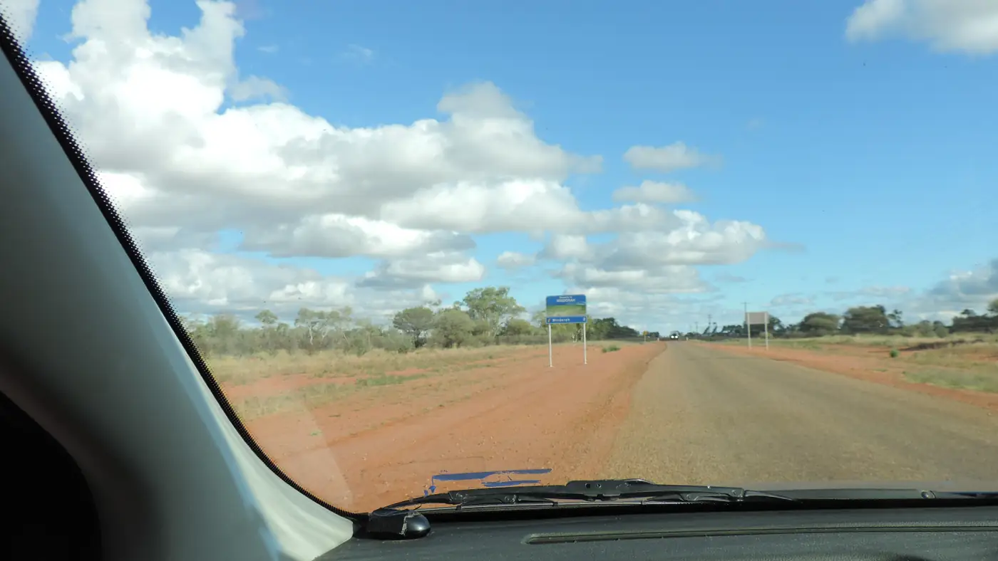
Windorah is about 240 km west of Quilpie and about 1,200 km west of Brisbane. The road from Quilpie is mostly sealed; the road west to Birdsville includes unsealed sections. Check QLDTraffic and the Barcoo Shire Council road report.
Where to stay and eat
The Western Star Hotel, a caravan park and camping at Cooper Creek. A store sells basic supplies.
Travel safety
Carry plenty of water and fuel, spare tyres and a satellite communication device. Avoid driving at night because of cattle and wildlife.
The Channel Country explained
The Channel Country covers a huge area of south-west Queensland and neighbouring parts of South Australia and the Northern Territory. Its rivers — the Thomson, Barcoo, Diamantina and Georgina — rarely flow as single channels. Instead, they spread into networks of shallow, braided channels across flat floodplains. Rain falling hundreds of kilometres north in the monsoon season can take weeks to reach Windorah. When it does, the Cooper may spread tens of kilometres wide, cutting roads and isolating stations, before drying back to a chain of waterholes. Floodwaters bring fresh grass, and the country has long been prized for fattening cattle.
Jundah and Stonehenge
North of Windorah, the small towns of Jundah and Stonehenge sit on the Thomson River in Barcoo Shire. Jundah has a museum and riverside camping. Both make quiet stops on the Thomson Developmental Road between Windorah and Longreach.
Who it suits
Windorah suits travellers heading to Birdsville and the Simpson Desert, anglers, birdwatchers and anyone who loves wide open spaces. It is a classic overnight stop.
Packing tips
Bring fishing gear, a camp chair for sunset on the sandhills, insect repellent and plenty of water. In winter, nights can be very cold.
Respecting Country
Many sites along the Cooper are significant to the Mithaka people. Stay on public roads and tracks, leave no trace, and respect any signs asking visitors to keep out.
The road to Birdsville
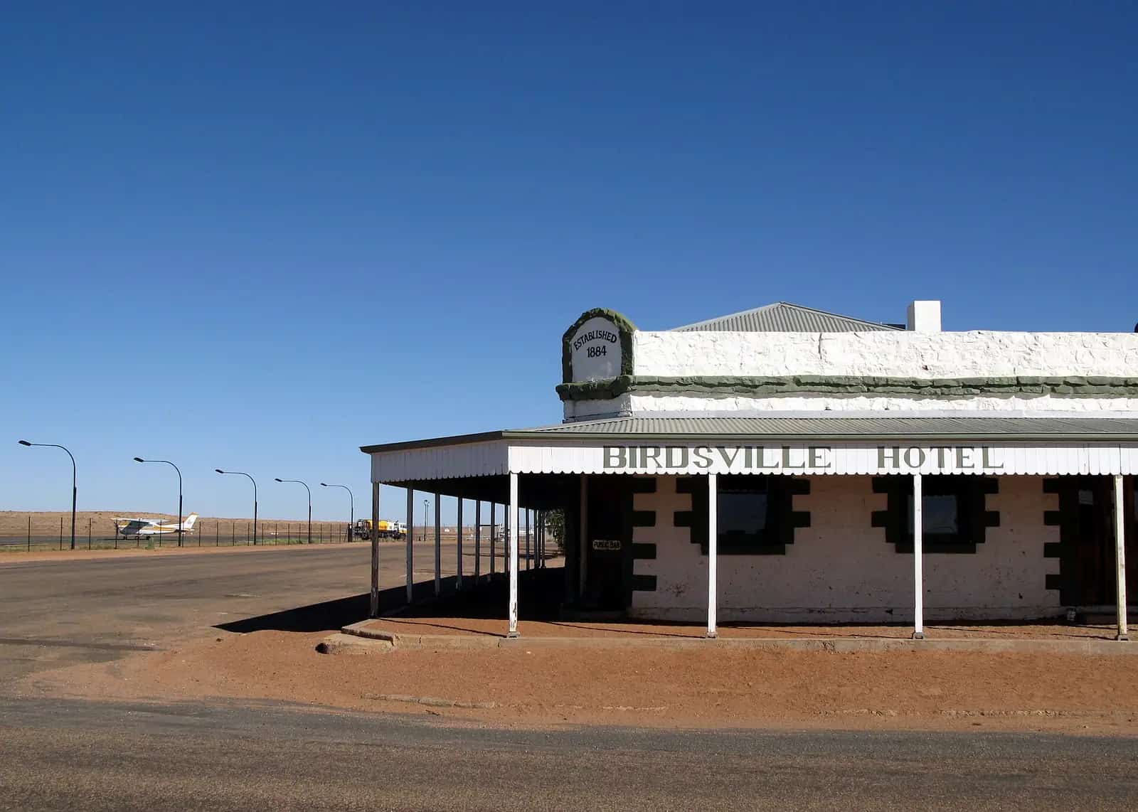
West of Windorah, the road to Birdsville crosses some of the most remote country in Queensland, with long stretches between fuel and few services. Sections have been sealed in recent years, but parts remain unsealed and can close after rain. Check QLDTraffic and the Barcoo and Diamantina shire councils before leaving, fill up in Windorah and carry extra water, food and fuel. Expect road trains, cattle on the road and dust. If you are towing, reduce speed on unsealed sections and check your van at each stop. See fuel, permits and road conditions.
When the Cooper floods
After big wet seasons in central and northern Queensland, floodwaters move slowly down the Thomson and Barcoo into Cooper Creek, and the Cooper can spread many kilometres wide near Windorah. Floods can arrive weeks after the rain and may close roads for extended periods even under blue skies. If you're caught by rising water, stay where you are, keep in touch with the shire and police, and never attempt to cross a flooded road. The upside is a landscape transformed, with waterbirds arriving in huge numbers.
Fishing on the Cooper
Golden perch (yellowbelly), spangled perch and catfish are common catches in the Cooper's waterholes, along with yabbies. Queensland fishing rules set size and possession limits; check them before you fish. Use approved yabby traps only, as some designs are prohibited because they can drown air-breathing wildlife.
Night skies
With almost no light pollution, Windorah's night skies are spectacular. On clear, moonless nights, the Milky Way stretches from horizon to horizon. Walk a short distance from town lights or watch from your campsite at Cooper Creek.
Supporting a small town
With only a handful of businesses, Windorah relies on passing travellers. Buying fuel, a meal at the pub or supplies at the store helps keep services running for locals and future visitors.
More to see around Windorah
Barcoo Shire Council's Visit Barcoo site lists several stops beyond the sandhills and the Cooper.
- Whitula Gate Museum. A slab hut built in 1906 and moved into town in 1994.
- Nature drive. A 12 km self-guided drive with 45 signposted plant species.
- Rabig Park. A town park established in 1980.
- The old courthouse. Now known as "Tar Pot's" house.
- J.C. Hotel ruins. The remains of an old hotel about 80 km west of town.
Visit Barcoo says Sando's red sandhills are about 12 km west of town on private property, so follow signs and respect access rules. Free camping is available on the eastern side of Cooper's Creek, with toilets, and fires are allowed; check for any fire bans before lighting one.
The Windorah visitor centre is at 7 Maryborough Street (07 4656 3063). Visit Barcoo lists hours of 8:30am–5pm weekdays and 8am–2pm on weekends from March to October, and 8:30am–2pm on Monday, Wednesday and Friday from November to February.
Practical information
- Services: fuel, store, hotel, health clinic and police.
- Nearest larger town: Quilpie.
- Next stops: Birdsville (west), Jundah (north), Quilpie (east).
Explore nearby
See the Channel Country region guide.
Nearby park guide: Diamantina National Park.
Frequently asked questions
Where is Windorah?
In far south-west Queensland, about 240 km west of Quilpie and about 380 km east of Birdsville.
What are the Windorah yabby races?
A light-hearted event in which yabbies (freshwater crayfish) race on a track. See our yabby races guide.
Is there fuel in Windorah?
Yes, fuel and basic supplies are available, but distances to the next fuel are long.
Can you camp at Cooper's Creek near Windorah?
Yes. Visit Barcoo lists free camping on the eastern side of Cooper's Creek near Windorah, with toilets, and says fires are allowed. Check for fire bans before lighting one.
Where is the Windorah visitor centre?
Visit Barcoo lists the visitor centre at 7 Maryborough Street, phone 07 4656 3063. Hours change between the cooler months (March to October) and summer.
Sources and further reading
Facts on this page were checked against these primary and official sources. Conditions change — confirm before you travel or buy.
- Barcoo Shire Council — Barcoo Shire Council
- QLDTraffic — Queensland Government
- Windorah (Wikipedia) — Wikipedia
- Visit Barcoo — Barcoo Shire Council