The original Outback Now offered two versions: Perth to Darwin via Mount Magnet, and via Broome and Kununurra. This guide combines them.
Inland route
Perth – New Norcia – Mount Magnet – Cue – Meekatharra – Newman – Tom Price and Karijini – Port Hedland – Broome – Fitzroy Crossing – Halls Creek – Purnululu – Kununurra – Timber Creek – Katherine – Darwin.
Coastal variation
Follow the North West Coastal Highway via Geraldton, Kalbarri, Shark Bay, Carnarvon, Coral Bay and Exmouth (Ningaloo Reef), then rejoin at Port Hedland or via Karijini.
Highlights
Gold-rush towns of the Murchison, Karijini's gorges, Marble Bar detour, Broome's Cable Beach, Geikie Gorge at Fitzroy Crossing, the Bungle Bungles, Lake Argyle and Nitmiluk.
Tips
Fuel gaps can exceed 250 km. There is a WA–NT border quarantine checkpoint — fresh fruit, vegetables and honey are restricted entering WA. Travel in the dry season, roughly May to October.
Overview
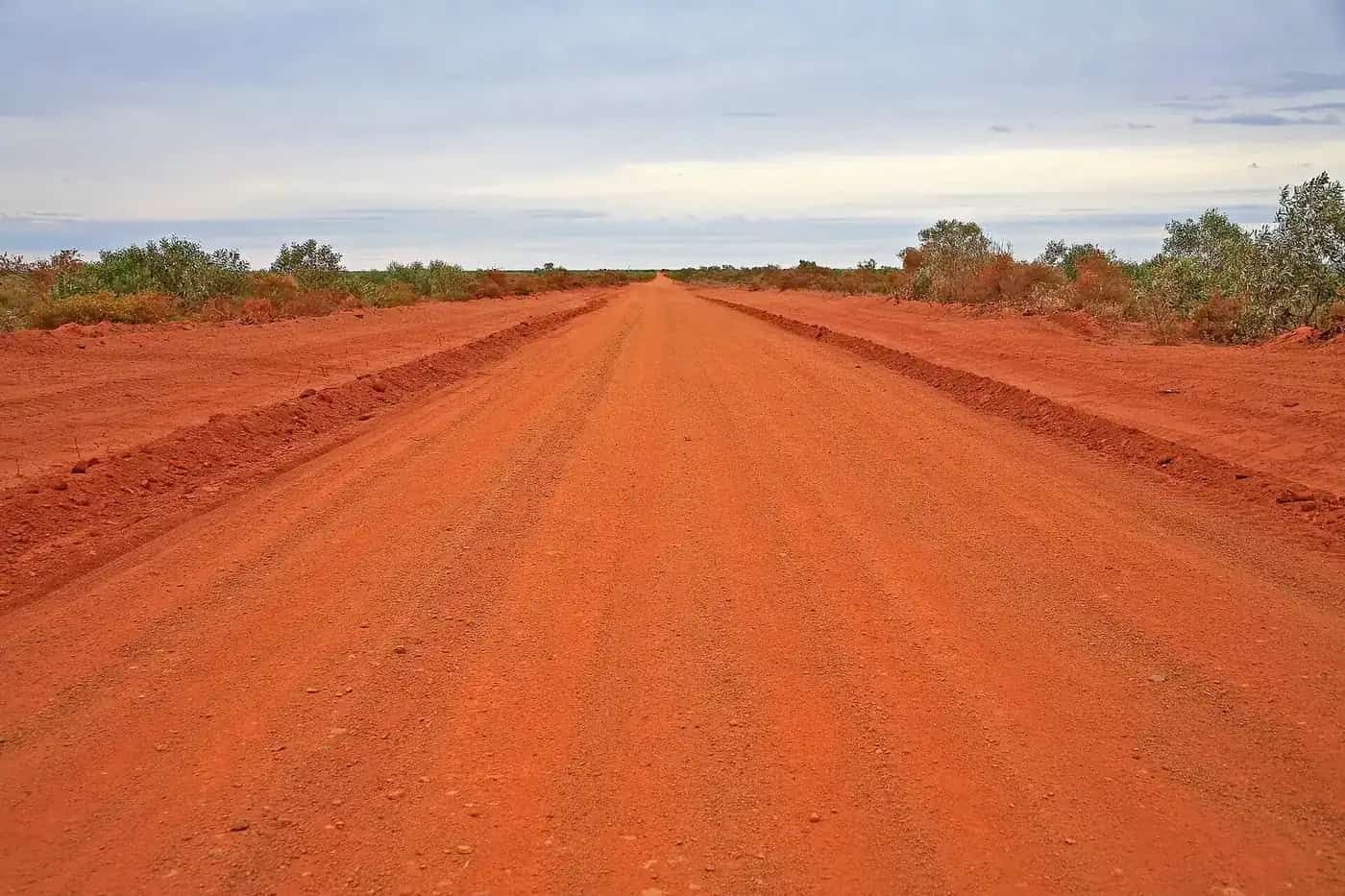
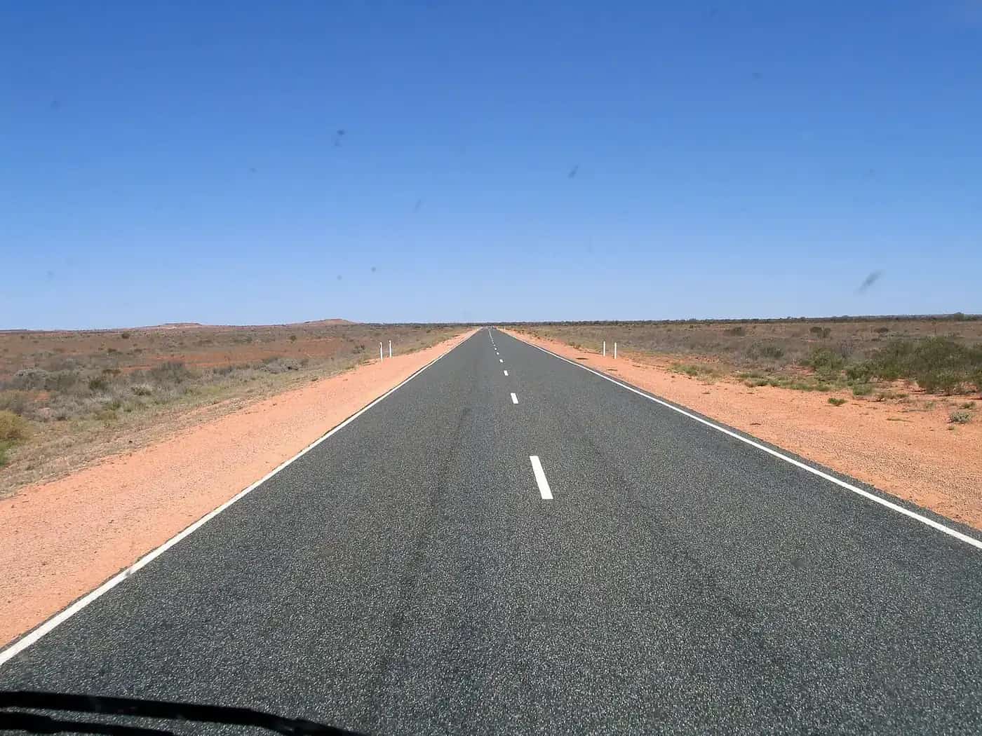
Driving from Perth to Darwin is one of Australia's great road trips, covering roughly 4,000 km or more depending on the route and side trips. The inland route follows the Great Northern Highway through the Murchison goldfields and the Pilbara before joining the coast at Port Hedland and continuing through the Kimberley. The coastal variation adds Ningaloo Reef, Shark Bay and the Coral Coast. Both routes can be driven on sealed roads, with optional unsealed side trips such as the Gibb River Road.
The Murchison and the goldfields
North of Perth, the Great Northern Highway passes New Norcia, a Benedictine monastery town, before entering the Murchison. Mount Magnet, Cue and Meekatharra grew during the gold rushes of the 1890s; Cue, in particular, has well-preserved stone buildings. Wildflowers can be spectacular in late winter and spring after good rain. Distances between towns are long, and the country is dotted with mining operations and station land.
The Pilbara
Newman is a mining town built for the Mount Whaleback iron ore mine, with mine tours offered in some seasons. From there, a detour west reaches Tom Price and Karijini National Park, with its gorges, waterfalls and swimming holes. Back on the highway, Port Hedland is a major iron ore port. Marble Bar, known for its record-breaking run of hot days in the 1920s, is a short detour inland.
Port Hedland to Broome
The highway skirts the Great Sandy Desert, passing Sandfire Roadhouse and access roads to Eighty Mile Beach, a long beach famous for shorebirds and shell collecting. Broome is a resort town with Cable Beach, pearling history and the Broome Bird Observatory.
The Kimberley
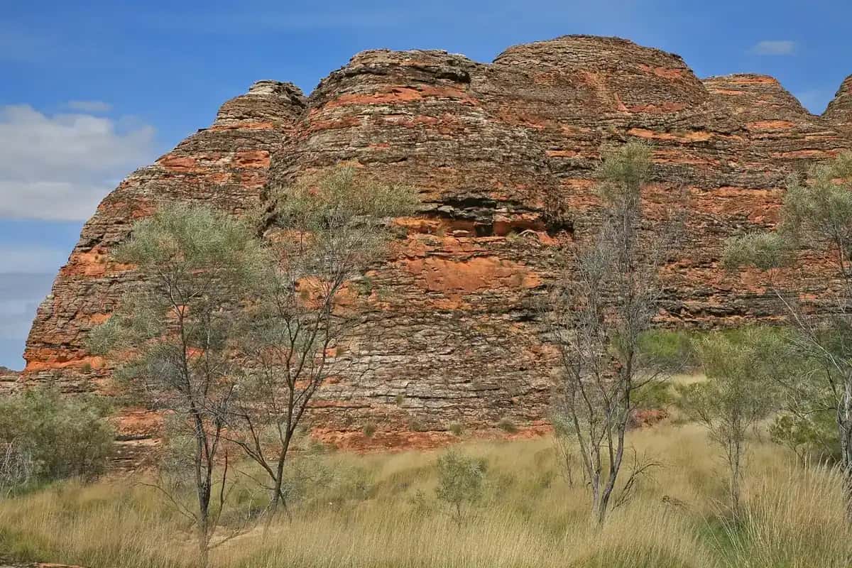
From Broome, the highway heads to Derby, with its boab Prison Tree and huge tides, and on to Fitzroy Crossing, gateway to Danggu Geikie Gorge. Halls Creek has the natural quartz "China Wall" and access to Wolfe Creek Crater. North of Halls Creek is the turn-off to Purnululu National Park and the Bungle Bungle Range; the access track is 4WD only. Kununurra sits beside the Ord River, with Lake Argyle and Mirima National Park nearby. A detour north reaches Wyndham and the Five Rivers Lookout.
Into the Northern Territory
East of Kununurra, the Victoria Highway crosses into the Northern Territory and passes Timber Creek, the Victoria River and Judbarra / Gregory National Park before reaching Katherine. From there, the Stuart Highway leads north to Darwin.
Border and time zones
There is a quarantine checkpoint at the WA–NT border near Kununurra for travellers entering WA. Fresh fruit, vegetables, honey and some other items are restricted, so plan your food shopping accordingly. When you cross into the NT, clocks move forward; the NT is ahead of WA, so allow for the time change in your planning.
Planning tips
- Fuel: some gaps between roadhouses exceed 250 km. Carry extra fuel and fill up at every opportunity.
- Season: the dry season, roughly May to October, is the only practical time to travel the northern half. Cyclones and flooding can affect the Pilbara and Kimberley from November to April.
- Bookings: caravan parks in Broome, Exmouth and Kununurra fill up in peak season; book ahead.
- Road trains: iron ore and cattle road trains are common. Give way, keep left and allow plenty of room.
See our guides to fuel, permits and road conditions and outback safety.
Suggested itinerary (three weeks)
1–3. Perth to Newman via New Norcia, Mount Magnet, Cue and Meekatharra. 4–6. Tom Price and Karijini National Park. 7. Port Hedland, with an optional detour to Marble Bar. 8–10. Eighty Mile Beach and Broome. 11–12. Derby and Fitzroy Crossing. 13. Halls Creek. 14–15. Purnululu (on a tour or with a high-clearance 4WD). 16–17. Kununurra, Lake Argyle and Wyndham. 18–19. Timber Creek and Katherine. 20–21. Litchfield National Park and Darwin.
Adjust to suit your pace, and add extra days for the Gibb River Road or the coastal variation.
Who it suits
This route suits travellers with at least three weeks, a reliable vehicle and a taste for long distances. It rewards those who slow down: gorges in Karijini, sunsets on Cable Beach and the rivers of the Kimberley are best enjoyed without a tight schedule.
Frequently asked questions
How long does it take to drive from Perth to Darwin?
About 4,000 km depending on route. Allow at least two weeks, and three or more to enjoy Karijini, Broome and the Kimberley.
Is the Great Northern Highway sealed?
Yes. The Great Northern Highway from Perth to Wyndham is sealed, and the Victoria Highway continues sealed to Katherine. The Gibb River Road alternative is mostly unsealed.
Sources and further reading
Facts on this page were checked against these primary and official sources. Conditions change — confirm before you travel or buy.
- Main Roads WA travel map — Main Roads Western Australia
- Road report NT — Northern Territory Government