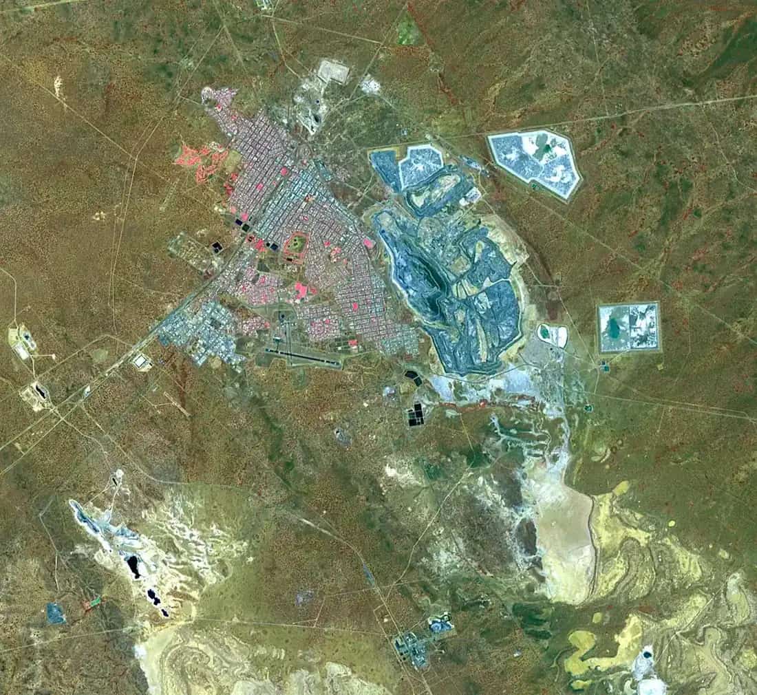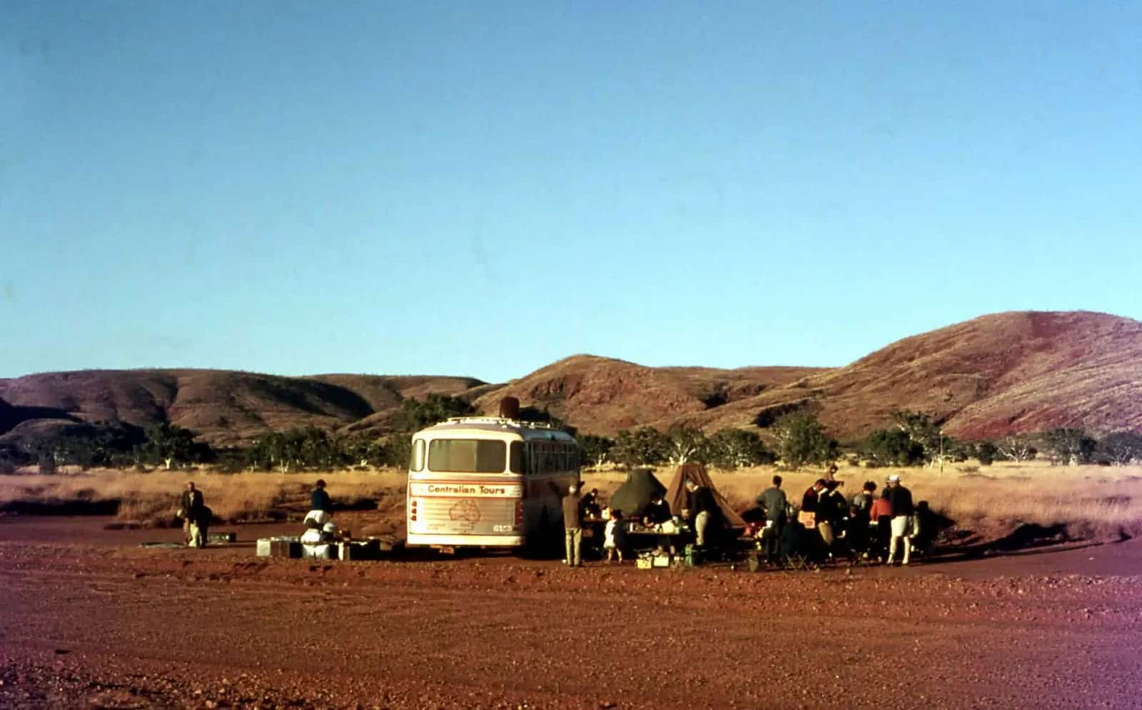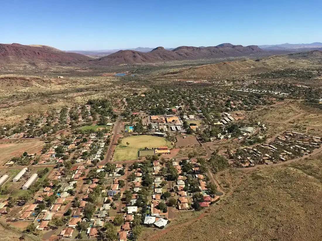
Tom Price was built in the 1960s to house workers at the iron-ore mine of the same name, which was named after an American steel executive who championed Pilbara iron ore. It sits about 750 m above sea level on Eastern Guruma Country.
Things to do
Mount Nameless (Jarndunmunha). A 4WD track and walking trail climb to a summit lookout over the town and mine — superb at sunset.
Mine tours. Visitor tours of the iron-ore operations have run from the visitor centre in the past; check current availability.
Karijini National Park. Hamersley, Hancock, Weano, Joffre, Kalamina and Dales gorges offer swimming holes, waterfalls and walks of all grades. See our national parks guide.
History and Country
Tom Price is on the Country of the Eastern Guruma people. Iron ore deposits in the Hamersley Range were identified in the early 1960s, after export restrictions on iron ore were lifted. The mine and town were named after Thomas Moore Price, a vice-president of the US steel company Kaiser Steel, who encouraged development of the Pilbara iron ore industry. The town was built by Hamersley Iron (now part of Rio Tinto) in the 1960s and was handed over to local government in later decades.
Mining
The Mount Tom Price mine is one of several large open-cut iron ore mines in the Pilbara. Ore is railed to ports at Dampier and Cape Lambert. Ask at the visitor centre about any public mine tours.
Karijini National Park in detail
Karijini is Western Australia's second-largest national park and is jointly managed with the Banyjima, Kurrama and Innawonga peoples. Its gorges cut deep into ancient banded iron formations.
- Dales Gorge — Fortescue Falls and Fern Pool, with walks for most fitness levels.
- Weano and Hancock gorges — narrow chasms and Handrail Pool, with difficult, Class 5 and 6 sections.
- Joffre Gorge — a spectacular curved waterfall.
- Mount Bruce (Punurrunha) — WA's second-highest peak, with a summit walk.
The Karijini Visitor Centre explains the park's natural and cultural history. Flash flooding can make gorges dangerous; follow all signage.
Seasons
April to October is the best time to visit. Summers are extremely hot, and cyclones can bring heavy rain.
Getting there
Tom Price is about 1,550 km north of Perth. Flights operate from Perth to Paraburdoo, about 80 km south. The road from Paraburdoo is sealed; some park roads are unsealed.
Where to stay
Motels, a caravan park and accommodation in Karijini, including camping and eco-retreat options.
Safety
Distances are vast. Carry water and fuel, and avoid driving at night.
Karijini gorge safety
Karijini's gorges are beautiful but have claimed lives. Rocks are slippery, water is cold even in summer, and flash floods can surge through narrow chasms after rain upstream — even when it is not raining where you are. Follow the trail class ratings, which run from easy Class 1 walks to Class 6 routes that need experience and specialist equipment. Never enter a gorge if rain is forecast, do not jump into pools, and turn back if a section is beyond your ability. Ranger stations and the visitor centre can advise on current conditions, and some trails close in the hottest months.
Wildlife and wildflowers
The Hamersley Range supports red kangaroos, euros, rock-wallabies, echidnas and the Pilbara olive python, along with many birds of prey. After winter rain, the spinifex country flowers with yellow cassias, purple mulla mullas and Sturt's desert peas. Early morning and late afternoon are the best times to see wildlife and to photograph the red ranges.
Mount Nameless in detail
Mount Nameless (Jarndunmunha), about 1,128 m high, rises just west of town. A 4WD track and a steep walking trail climb to the summit, where views stretch across the Hamersley Range and the Tom Price mine. Start early in warm weather, carry water and allow two to three hours return for the walk.
Fuel, phones and medical help
Tom Price Hospital is on Mine Road. The next fuel south is Paraburdoo, which Visit Ashburton puts at just over 80 km away on a sealed road and describes as a good place to refuel before Karijini.
Travelling with kids
Kids may enjoy Karijini's shorter walks and swimming spots, where conditions allow. Mount Nameless lookout is also a great family drive.
Where to next
- Paraburdoo — about 80 km south, with an airport serving the region.
- Karijini Eco Retreat and Dales campground — inside the park, about 90 to 120 km away depending on the area.
- Millstream Chichester National Park — north, with palm-fringed pools on the Fortescue River.
- Newman — east, the Pilbara's other large mining town.
- Exmouth and Ningaloo — a long drive west to the coast.
Packing tips
Bring sturdy walking shoes with good grip, a swimsuit, a warm layer for cold mornings, sunscreen, and at least several litres of water per person per day. Fly nets are welcome in the Pilbara. Fuel is limited inside Karijini, so fill up in Tom Price.
More things to do in Tom Price
Mount Nameless (Jarndunmunha). Visit Ashburton says the mountain is about 4 km from town. It's a classic sunrise or sunset spot, with views over the town and the mine. The hike takes about 2.5 hours return. The 4WD track is steep and not suitable for inexperienced drivers.
Rio Tinto mine tour. Visit Ashburton lists a tour of about two hours, departing from the Tom Price Visitor Centre. It takes in views of the open-cut pit, machinery, processing plants and train loading. Book through the visitor centre, and check what clothing and footwear are required.
The visitor centre. On Central Road, the Tom Price Visitor Centre provides local information, tour bookings and the permits needed to use the rail access road. Ask staff about current road and park conditions before heading into Karijini.
Is Tom Price worth visiting?
For most travellers, Tom Price is worth a stop as the closest town to Karijini National Park, with supermarkets, fuel and accommodation. Add a mine tour and Mount Nameless, and it's easy to fill a day before or after the gorges.
Altitude and climate
Tom Price is often described as Western Australia's highest town. Its elevation means nights can be cool in the dry season, from about May to September, even though days are warm. Summer brings extreme heat and storms. Plan walks for early morning.
Practical information
Tom Price has a supermarket, fuel, a hospital and accommodation. Gorge walks can be dangerous; follow signs and avoid gorges during rain. Summer is very hot.
Explore nearby
Nearby: Millstream Chichester National Park, via the permit-only Rio Tinto rail access road.
Elsewhere in WA's north-west: Carnarvon and Kennedy Range.
Frequently asked questions
How far is Tom Price from Karijini?
The western entrance of Karijini National Park is about 50 km from Tom Price, and the main gorges are a 60 to 90-minute drive.
How far is Tom Price from Perth?
About 1,500 km north of Perth by road.
Is Tom Price worth visiting?
Yes, as the closest town to Karijini National Park. Add the Rio Tinto mine tour and Mount Nameless (Jarndunmunha) for sunset views.
How long is the Mount Nameless walk?
Visit Ashburton says the hike to Mount Nameless (Jarndunmunha), about 4 km from town, takes about 2.5 hours return. The 4WD track is steep and not for inexperienced drivers.
Sources and further reading
Facts on this page were checked against these primary and official sources. Conditions change — confirm before you travel or buy.
- Karijini National Park — Parks and Wildlife Service WA
- Shire of Ashburton — visit Tom Price — Shire of Ashburton
- Tom Price attractions — Shire of Ashburton
- Mine Tours — Shire of Ashburton