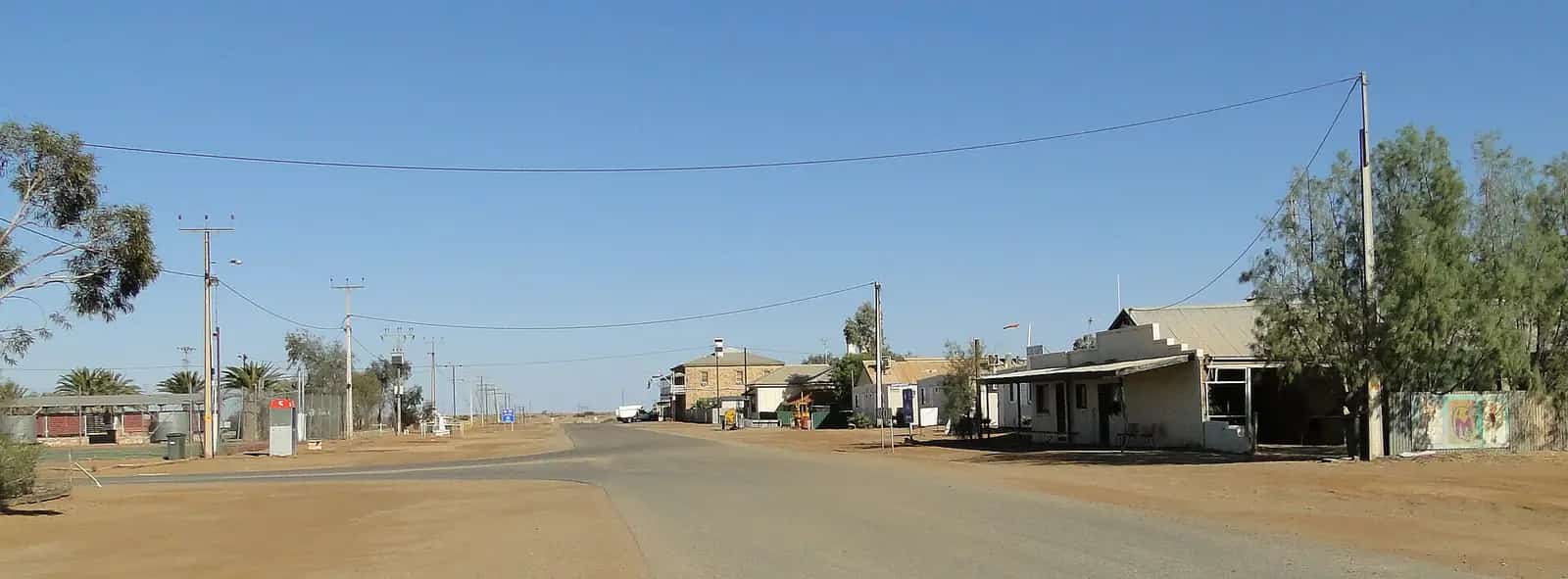
William Creek sits on Arabana Country beside the old Ghan railway line, surrounded by the vast Anna Creek Station. The permanent population is tiny, but in the cooler months travellers on the Oodnadatta Track fill the campground.
Things to do
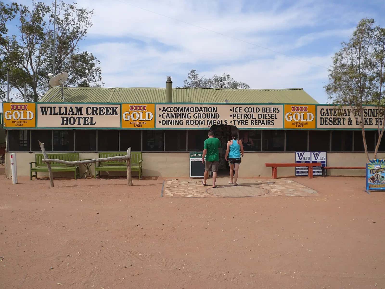
William Creek Hotel. The historic pub, its walls covered in business cards, notes and memorabilia, is a classic outback stop.
Lake Eyre scenic flights. Flights over Kati Thanda-Lake Eyre, Australia's largest salt lake, leave from the airstrip.
Mound springs. Along the track towards Marree, natural springs fed by the Great Artesian Basin — including the Bubbler and Blanche Cup in Wabma Kadarbu Mound Springs Conservation Park — are fascinating to visit.
Old Ghan ruins. Bridges, sidings and fettlers' cottages line the track.
History and Country
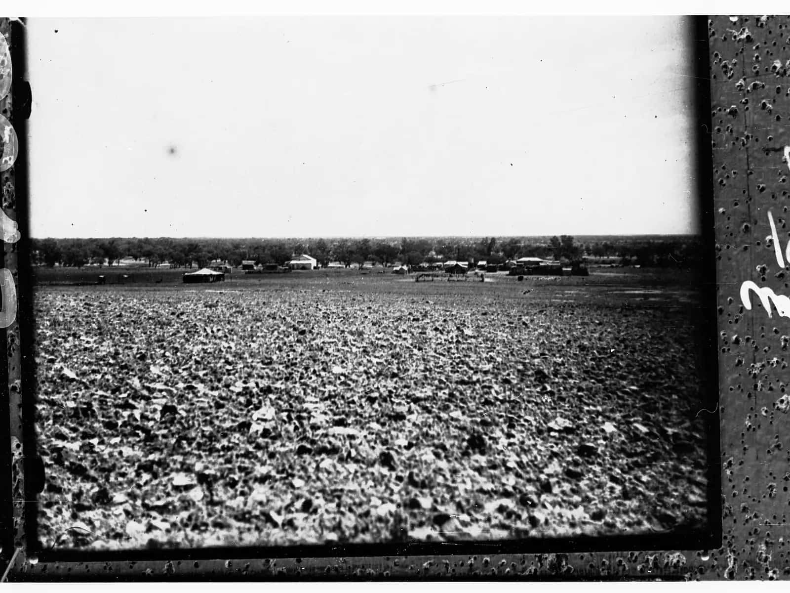
William Creek is on the Country of the Arabana people, whose Native Title over a large area including Kati Thanda–Lake Eyre was recognised by the Federal Court in 2012. The settlement began as a siding on the Central Australia Railway, the original narrow-gauge Ghan line, which reached the area in the late 1880s. Fettlers, drovers and station hands passed through for decades. When the railway was replaced by a new standard-gauge line further west in 1980, the old line was abandoned, and William Creek became a stop on the Oodnadatta Track for travellers rather than trains.
Anna Creek Station
William Creek is surrounded by Anna Creek Station, regularly described as the world's largest working cattle station, covering about 24,000 square kilometres — larger than some countries. Its homestead is not open to the public, but the station's sheer scale is part of the William Creek experience.
Kati Thanda–Lake Eyre
William Creek is the closest settlement to Lake Eyre North. Scenic flights from the airstrip take in the lake, the Painted Hills (on private land and only visible from the air) and the surrounding desert. Flights are especially popular when the lake holds water, which happens only occasionally after big rains in Queensland. The lake is within Kati Thanda–Lake Eyre National Park; road access via Halligan Bay requires a 4WD and a Desert Parks Pass.
The Oodnadatta Track
The track runs about 620 km between Marree and Marla, following the old Ghan railway and a line of Great Artesian Basin mound springs that guided Aboriginal travellers and, later, explorers. Highlights include the ruins of railway sidings, the Algebuckina Bridge (the longest bridge on the old line), and the springs at Coward Springs and Wabma Kadarbu Mound Springs Conservation Park.
A short itinerary
Day 1: Drive from Marree, stopping at the mound springs and Coward Springs, then a sunset drink at the William Creek Hotel.
Day 2: Morning scenic flight over Lake Eyre, then continue north to Oodnadatta or west to Coober Pedy.
Seasons
April to October is best. Summer temperatures are extreme, and the track can be closed by rain at any time of year.
Getting there
William Creek is about 200 km from Marree and about 170 km east of Coober Pedy, both on unsealed roads. Check South Australia's outback road warnings before travelling.
Where to stay
The hotel offers rooms and cabins, and there is a campground. Fuel and basic supplies are available.
Safety
Carry plenty of water, spare tyres and a satellite communication device. If the road closes, wait — fines apply for driving on closed outback roads.
Painted Hills
The Painted Hills, on Anna Creek Station, are a remote range of eroded hills banded in red, yellow and white. They are not accessible by road; scenic flights from William Creek are the only way to see them. The colours are striking in the early morning or late afternoon.
The Dog Fence and station life
The Dog Fence runs through the region south of William Creek. Life on stations such as Anna Creek revolves around cattle mustering, water management and the challenges of distance. Drovers' stories, bush poetry and the pub's memorabilia offer glimpses of station life.
Who it suits
William Creek suits travellers on the Oodnadatta Track, aviation enthusiasts taking scenic flights, and anyone wanting a classic outback pub experience.
Fuel, phones and medical help
There is no medical service at William Creek. The nearest health services are in Coober Pedy and Oodnadatta.
Unleaded and diesel are sold 24 hours from the William Creek Hotel's self-service bowser, and the hotel is also the main place for food, information and accommodation. The next fuel is Coober Pedy (about 167 km west), Marree (about 204 km south-east) or Oodnadatta (about 201 km north-west).
Travelling with kids
Children often enjoy the quirky William Creek Hotel and scenic flights over Kati Thanda-Lake Eyre, if your budget allows.
Where to next
- Coober Pedy — about 170 km west.
- Oodnadatta — north along the track, with the famous Pink Roadhouse.
- Lake Eyre North — via Halligan Bay (4WD and Desert Parks Pass).
- Marree — south-east along the track.
Packing tips
Bring fly nets, a hat, sunscreen and warm clothes for cool nights. Scenic flights may have weight limits; check with the operator.
Driving to Lake Eyre from William Creek
National Parks and Wildlife Service South Australia says Kati Thanda–Lake Eyre National Park is about 60 km east of William Creek. From town, travel south-east on the Oodnadatta Track for about 7 km to the park access track, then follow it to Halligan Bay Point via Armistice Bore and ABC Bay. The track is a 4WD-only public access route through pastoral land, and it is closed from 1 December to 15 March.
The park service advises travelling in convoy and carrying spare fuel, water and food. There is no mobile phone coverage in the park. Halligan Bay Point has camp sites with toilets and two picnic shelters, while William Creek itself has a campground with toilets and showers.
The best time to visit is April to October. Summer temperatures in the area can exceed 50°C. Check the Desert Parks Bulletin and the road condition report before you leave.
Practical information
Services are limited to the hotel, fuel, basic supplies and camping. Carry water, spares and extra fuel. The Oodnadatta Track can close after rain — check DIT's outback road warnings. Continue to Coober Pedy or back to Marree.
Explore nearby
Back down the track: Coward Springs.
Frequently asked questions
How do you get to William Creek?
Via the unsealed Oodnadatta Track from Marree (about 200 km) or from Coober Pedy (about 165 km) on an unsealed road. Check road conditions first.
Is William Creek inside a cattle station?
William Creek is surrounded by Anna Creek Station, historically one of the largest cattle stations in the world.
How far is Lake Eyre from William Creek?
National Parks SA says Kati Thanda–Lake Eyre National Park is about 60 km east of William Creek, reached by a 4WD-only track to Halligan Bay Point that is closed from 1 December to 15 March.
When is the best time to visit William Creek?
National Parks SA recommends April to October for nearby Kati Thanda–Lake Eyre. Summer temperatures can exceed 50°C, and the 4WD access track to the lake is closed from 1 December to 15 March.
Sources and further reading
Facts on this page were checked against these primary and official sources. Conditions change — confirm before you travel or buy.
- Outback road warnings — Department for Infrastructure and Transport SA
- Kati Thanda-Lake Eyre National Park — National Parks and Wildlife Service SA
- Kati Thanda-Lake Eyre National Park — Department for Environment and Water, South Australia