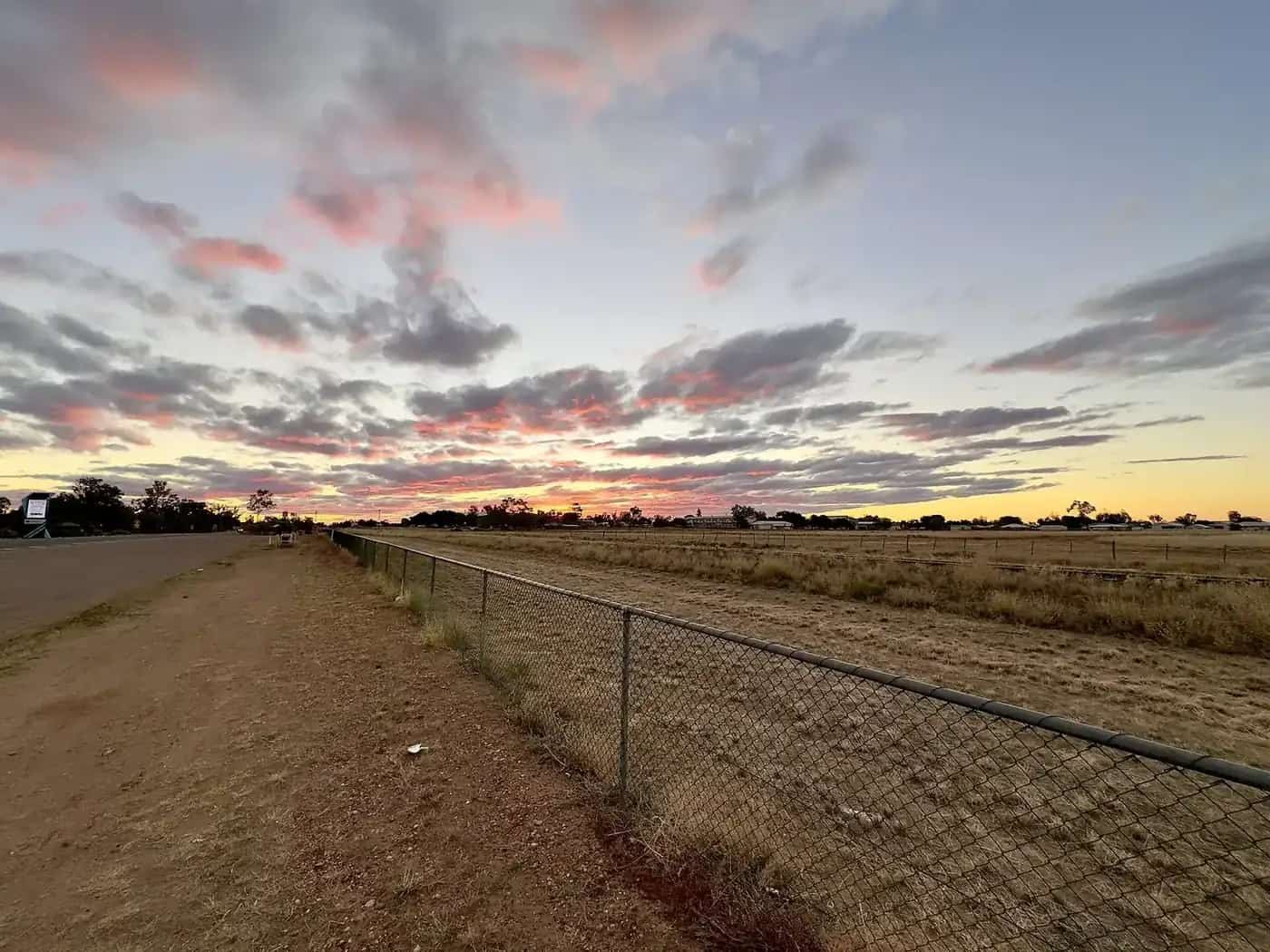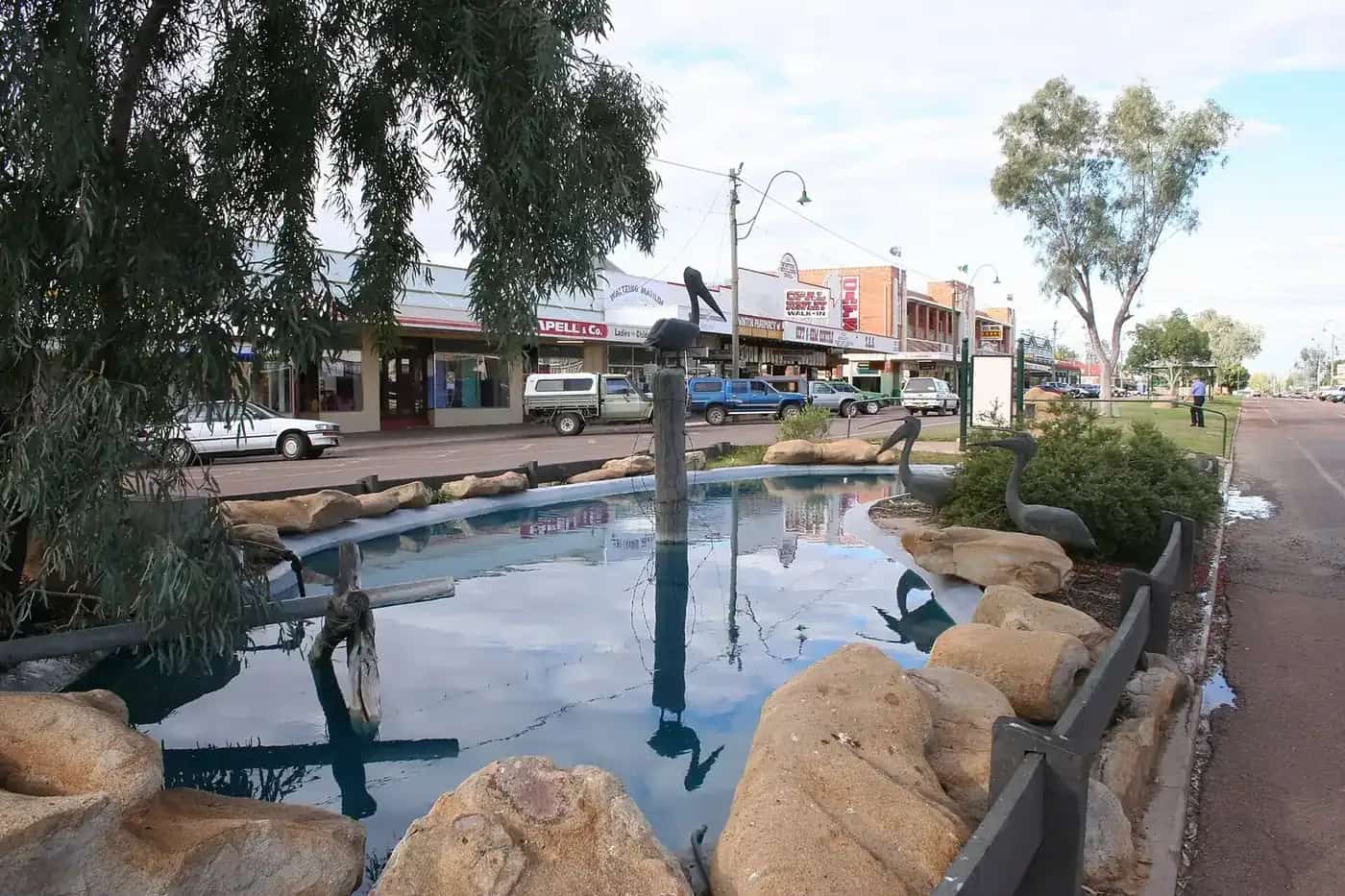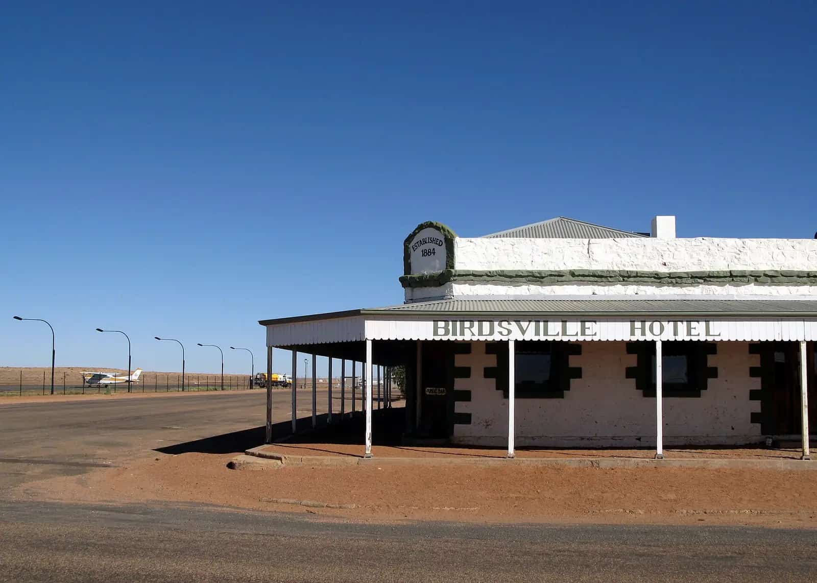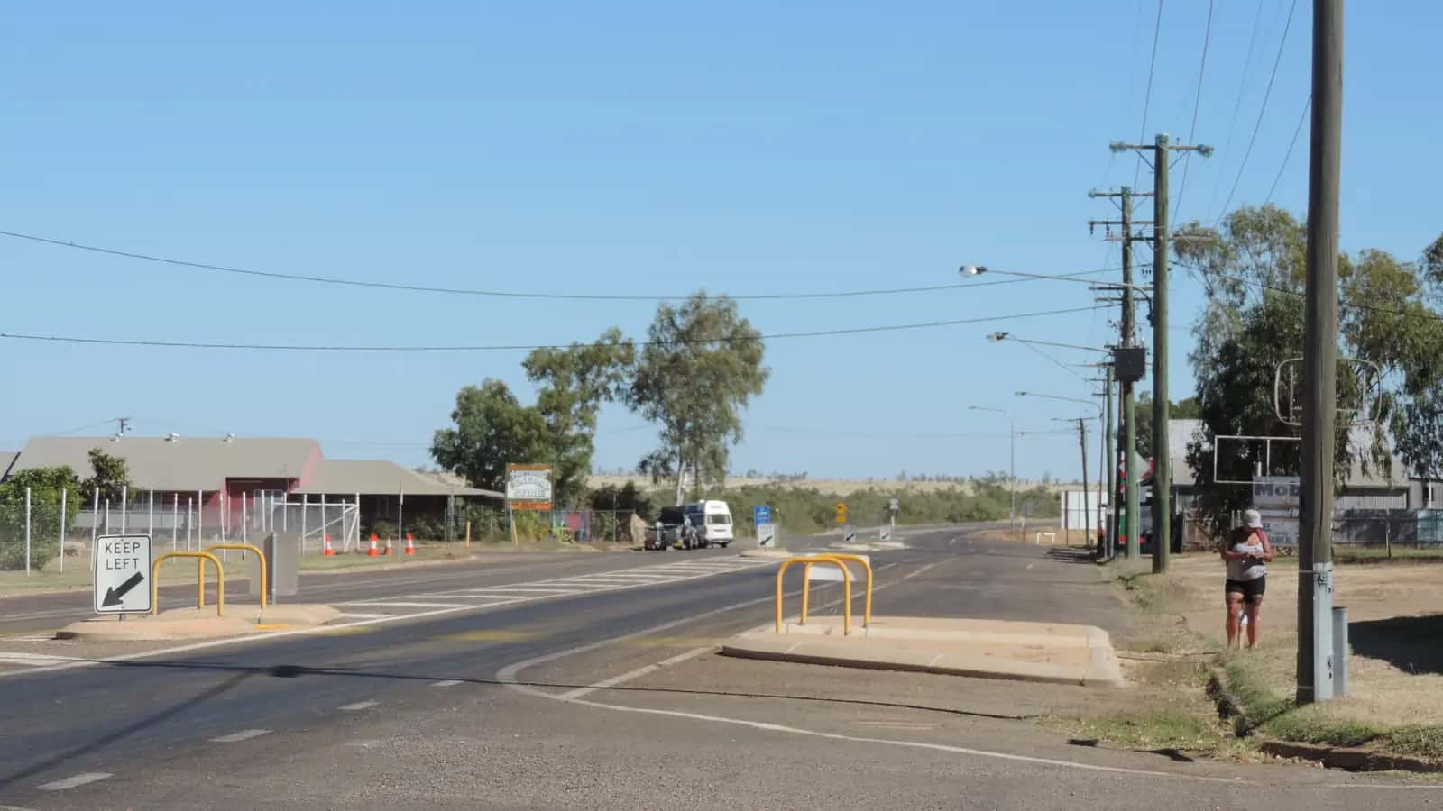
Camooweal grew as a stopping place for drovers bringing cattle across the Barkly Tableland from the Territory. It is on Indjalandji-Dhidhanu Country, and although it is administered by Mount Isa City Council it feels a world away.
Things to do
Camooweal Caves National Park. About 24 km south of town, the park protects sinkholes leading into dolomite caves, with walking tracks and a campground. Do not enter the caves without permits and caving experience.
Drovers Camp. A volunteer-run museum honouring the drovers who moved cattle along the stock routes; the town has hosted a drovers' festival in some years.
Billabongs. Nearby waterholes on the Georgina River system are popular with birdwatchers and campers.
Freckleton's Store. A historic general store that has served the town for generations.
History and Country
The Indjalandji-Dhidhanu people are the Traditional Owners of the Camooweal district, along the Georgina River. Camooweal was gazetted in the 1880s as a border town and supply point for stations of the Barkly Tableland. From the late nineteenth century until road trains replaced them in the second half of the twentieth century, drovers moved huge mobs of cattle along stock routes from the Territory through Camooweal to railheads in Queensland. The town was an important customs and stock-inspection point, and the drovers' camps on the Georgina became legendary.
The Drovers Camp Festival
The Camooweal Drovers Camp Festival, held in some years in August, celebrates the drovers with reunions, bush poetry, campdrafting and displays. The Drovers Camp Museum, run by volunteers, has photographs, saddles, packs and stories from the droving era; opening hours vary seasonally.
Wiliyan-ngurru (Camooweal Caves) National Park
The park protects a network of sinkholes and caves formed in dolomite over millions of years. Queensland Parks and Wildlife Service now lists the park as Wiliyan-ngurru National Park. Two short walks lead to the sinkholes. The walk to Little Nowranie Cave is 70 m return. The walk to Great Nowranie Cave is 220 m return, through eucalypt woodland and spinifex to a fenced viewing area. QPWS says access inside the caves is not allowed, and the sinkhole edges are unstable, so stay behind the rails. Camping is not permitted in the park. The nearest camping is at Camooweal, where there is a caravan park and a hotel. The park road is unsealed and may close after rain.
Wildlife and birdwatching
The billabongs and waterholes along the Georgina River system attract brolgas, jabirus, ducks, raptors and many other species, especially as the dry season progresses and water becomes scarce elsewhere. Early morning is best. Bring binoculars and a field guide.
The Barkly Tableland
West of Camooweal, the Barkly Highway crosses the Barkly Tableland — open Mitchell grass plains stretching to the horizon, home to some of the largest cattle stations in the world. Distances are vast; the Barkly Homestead Roadhouse is about 260 km west and Tennant Creek about 460 km.
A short itinerary
Morning: Drovers Camp Museum and Freckleton's Store.
Afternoon: Camooweal Caves National Park sinkhole walks.
Evening: Sunset over a billabong, then dinner at the pub.
Seasons
The dry season (April to October) is best. The wet season can be very hot and storms can close unsealed roads.
Getting there
Camooweal is on the Barkly Highway, about 190 km north-west of Mount Isa and about 13 km from the NT border. The highway is sealed. Watch for road trains and cattle on the road.
Where to stay and eat
A hotel, roadhouse, caravan parks and the national park campground. Fuel and basic supplies are available.
Safety
Carry water and fuel, especially heading west into the Territory. Check road reports in the wet season, and remember that the NT is on Central Time, half an hour behind Queensland.
Droving history in detail
From the late nineteenth century, cattle from the Barkly Tableland and the Victoria River district were walked to markets and railheads in Queensland along routes such as the Barkly Stock Route and the Georgina stock route. Drovers and their teams spent months on the road, moving mobs of a thousand head or more between waterholes and bores. Camooweal, near the border, was where many mobs were inspected and dipped before entering Queensland. Road trains and improved highways from the 1960s brought the era to a close, but droving remains part of the region's identity and is celebrated at the Drovers Camp.
Who it suits
Camooweal suits travellers crossing between Queensland and the Northern Territory, history lovers interested in droving, birdwatchers, and those wanting a quiet overnight stop before the long run across the Barkly.
Where to next
- Mount Isa — about 190 km south-east.
- Barkly Homestead — about 260 km west in the NT.
- Tennant Creek — about 460 km west.
- Boodjamulla (Lawn Hill) National Park — north via unsealed roads; check conditions.
Packing tips
Bring binoculars for the billabongs, a torch for the campground, and plenty of water. Fuel prices in remote areas are higher than in cities, so budget accordingly.
Nowranie Waterhole and the cave walks
Queensland Parks and Wildlife Service manages Wiliyan-ngurru National Park, formerly Camooweal Caves, as a day-use park. There are two short walks and a waterhole.
- Little Nowranie Cave. This 70 m return walk starts at the southern end of the Nowranie Caves car park and takes about 10 minutes. Take care on the loose rocks around the sinkhole.
- Great Nowranie Cave. This 220 m return walk starts at the eastern end of the car park and takes about 30 minutes. It passes through open eucalypt woodland and spinifex, with signs explaining the landscape.
- Nowranie Waterhole. A permanent waterhole on Nowranie Creek, with picnic tables. Signs explain the waterhole's importance to the Indjalandji-Dhidhanu people.
QPWS says access inside the caves is not allowed. Stay behind the safety rails, because the sinkhole edges are unstable and have steep cliffs.
Wildlife. Ghost bats and other insect-eating bats roost in the caves and come out after dark. Owls also roost there and hunt small mammals such as long-haired rats. In the daytime, look for ridge-tailed monitors on the rocky outcrops. At the waterhole you may see water monitors, spoonbills, cormorants, herons and ducks.
Dawn and dusk are the best times for wildlife. Camping is not permitted in the park, so stay at Camooweal's caravan park or hotel, or in Mount Isa.
Practical information
Camooweal has fuel, a roadhouse, a hotel, a store and camping. The next fuel west is at the Barkly Homestead roadhouse, about 260 km into the NT, so fill up. See the Brisbane-to-Darwin options for routes through here.
Explore nearby
Frequently asked questions
How far is Camooweal from Mount Isa?
About 190 km north-west of Mount Isa on the sealed Barkly Highway, and roughly 13 km from the NT border.
Can you go inside Camooweal Caves?
No. Queensland Parks and Wildlife Service says access inside Little Nowranie and Great Nowranie caves is not allowed. Short walks of 70 m and 220 m return lead to viewing areas at the sinkholes. Stay behind the safety rails, because the edges are unstable.
Is Camooweal worth visiting?
Yes, as a stop on the Barkly Highway. Camooweal is the last Queensland town before the NT border and has droving history and the Drovers Camp. Nearby Wiliyan-ngurru (Camooweal Caves) National Park has sinkhole walks and Nowranie Waterhole.
Sources and further reading
Facts on this page were checked against these primary and official sources. Conditions change — confirm before you travel or buy.
- Camooweal Caves National Park — Queensland Parks and Wildlife Service
- Mount Isa City Council — Camooweal — Mount Isa City Council
- Wiliyan-ngurru National Park: things to do — Queensland Parks and Wildlife Service