The original Outback Now published articles on the Adventure Way and travelling it from Brisbane through to Adelaide. This guide brings them together.
Route
Brisbane – Toowoomba – Dalby – Moonie – St George – Bollon – Cunnamulla – Eulo – Thargomindah – Noccundra – Innamincka. From Innamincka, continue south on the Strzelecki Track to Lyndhurst and the Flinders Ranges, then Adelaide.
Highlights
St George for the Balonne River. Cunnamulla with its Artesian Fountain and Cunnamulla Fella statue. Eulo for artesian mud baths. Thargomindah for its historic hydro-power plant. Noccundra and its lonely stone hotel. Innamincka and Cooper Creek's Burke and Wills sites.
Tips
Fuel up at every town. The Strzelecki Track carries heavy oilfield traffic; drive with lights on and give way generously. Combine with the Great Artesian Spa Tour.
About the Adventure Way
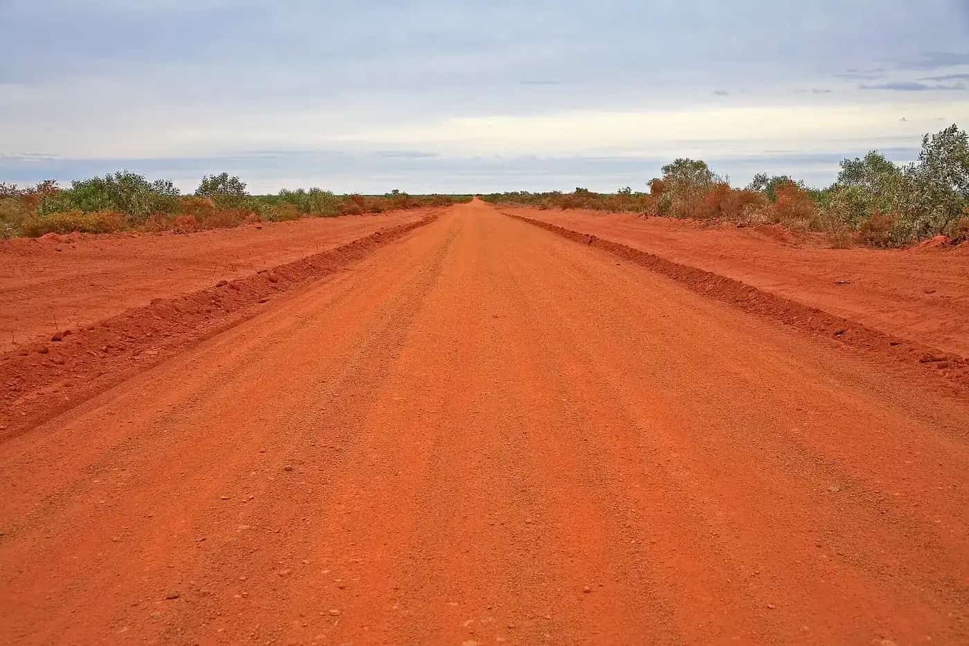
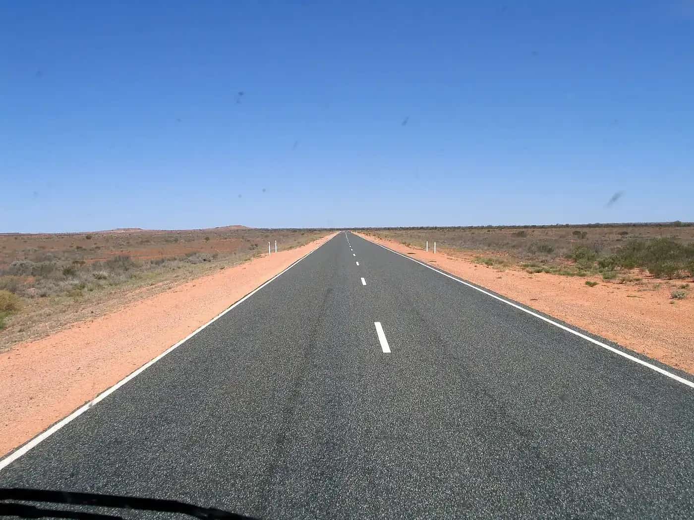
The Adventure Way is a touring route promoted by the councils and tourism bodies of south-west Queensland. It runs west from Brisbane across the Darling Downs and Maranoa into the Channel Country and on to the South Australian border at Innamincka, linking bore-water towns, river crossings and some of the most remote country in the state. The total distance from Brisbane to Innamincka is well over 1,000 km. Most of the route east of Thargomindah is sealed; west of Thargomindah, sections towards Innamincka are unsealed and can close after rain. Check QLDTraffic and the Bulloo Shire road report before travelling.
Section by section
Brisbane to St George. The route crosses the Great Dividing Range at Toowoomba and heads west through Dalby and the Western Downs, an area of grain, cotton and gas fields. Moonie is a small town known for Australia's first commercial oil field, discovered in the early 1960s. St George, on the Balonne River, has irrigated cotton country, riverside camping and the nearby Nindigully Pub.
St George to Cunnamulla. The road passes Bollon, a small town on Wallam Creek, before reaching Cunnamulla on the Warrego River. Cunnamulla is a base for exploring Currawinya National Park and Bowra Sanctuary, both known for birdlife.
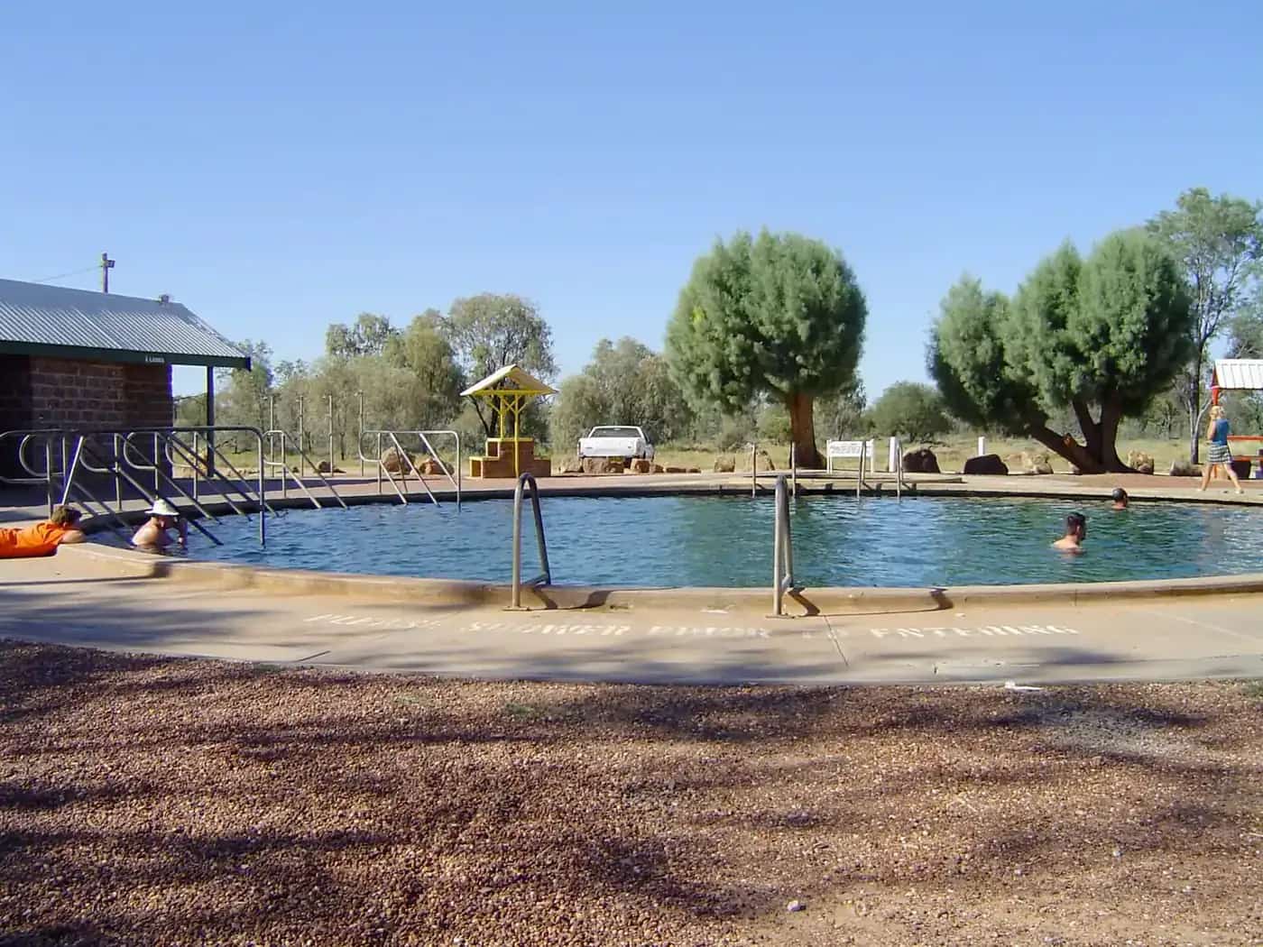
Cunnamulla to Thargomindah. Eulo, a tiny town on the Paroo River, is known for its artesian mud baths and its history as an opal-mining and Cobb & Co town. Further west, Lake Bindegolly National Park protects a chain of salt and freshwater lakes that attract waterbirds after rain. Thargomindah has its hydro power plant, bore baths and the Bulloo River.
Thargomindah to Innamincka. West of Thargomindah, the route passes Noccundra, with its historic stone hotel by the Wilson River, and continues through oil and gas country to the border. The Dig Tree, on Cooper Creek, is reached by a short detour just before the border; see Burke and Wills. Innamincka sits on the Cooper, inside the Innamincka Regional Reserve, with access to the Coongie Lakes wetlands.
Planning
- Time: allow at least a week from Brisbane to Innamincka with stops, longer if you plan to explore parks.
- Fuel: available in each main town, but check opening hours and carry a reserve for the far west.
- Vehicle: a conventional vehicle can manage the sealed sections in dry weather; a high-clearance or 4WD vehicle is recommended for the western end and the Strzelecki Track.
- Accommodation: motels, hotels and caravan parks in the larger towns; camping at Noccundra, the Dig Tree and Innamincka.
- Season: April to September is most comfortable. Summer is very hot, and heavy rain can close roads for days or weeks.
Continuing to Adelaide
From Innamincka, the Strzelecki Track heads south-west to Lyndhurst in the northern Flinders Ranges, then sealed roads lead through Leigh Creek and Hawker to Port Augusta and Adelaide. The track is unsealed and carries oilfield traffic. An alternative return to the east runs via Tibooburra and the Corner Country of NSW; see Tibooburra.
Parks along the way
- Currawinya National Park — Ramsar-listed lakes south-west of Cunnamulla. Access tracks may be 4WD only after rain.
- Lake Bindegolly National Park — walking track around the lakes near Thargomindah.
- Innamincka Regional Reserve and Coongie Lakes — managed by National Parks and Wildlife Service SA; a Desert Parks Pass or park entry permit is needed.
Read our guides to fuel, permits and road conditions and outback camping before you set off.
Communications and safety
Mobile coverage is good in the larger towns but patchy or absent between them, particularly west of Thargomindah and around Innamincka. Carry a satellite phone, satellite messenger or personal locator beacon, and let someone know your plans. If your vehicle breaks down, stay with it — a vehicle is much easier to find than a person on foot. Read remote-area travel safety for more detail.
Who it suits
The Adventure Way suits travellers who want an outback experience without the most extreme remote tracks, birdwatchers heading for Currawinya and Coongie Lakes, and history lovers following Burke and Wills.
Many travellers also drive it in reverse, finishing with a soak in the bore baths of the east.
Further reading
Frequently asked questions
Is the Adventure Way sealed?
Most of the route through Queensland is sealed as far as the Noccundra area, but the final section to Innamincka includes unsealed roads that close after rain. Check QLDTraffic and SA's outback road warnings.
How long is the Adventure Way?
Roughly 1,100 to 1,200 km from Brisbane to Innamincka, depending on route.
Sources and further reading
Facts on this page were checked against these primary and official sources. Conditions change — confirm before you travel or buy.
- QLDTraffic — Queensland Government
- Outback road warnings — Department for Infrastructure and Transport SA