The Murray River is the NSW–Victoria border for much of its length, and it is the reason this hub exists. Visit Victoria sells The Murray as paddle steamers, houseboats, river red gum forests, farm gates and wineries. That is the Echuca–Yarrawonga–Swan Hill story. On the original Outback Now directory, The Murray also meant the far north-west around Mildura — the Mallee, salt lakes and the jump-off for Mungo National Park — and the Upper Murray town of Corryong. Visit Victoria now splits those ends: Mildura stays in The Murray; Corryong is listed under the High Country. Both still sit on the river. This page keeps them together because that is how travellers using this site actually join a Victorian river trip to outback NSW.
Mildura and Sunraysia
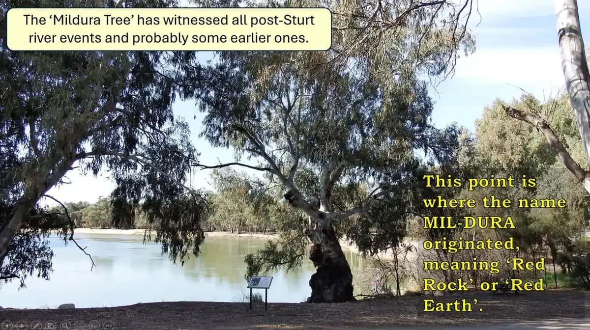
Mildura is a regional city on the Murray in Victoria’s far north-west, on the Country of the Latji Latji people. Visit Victoria also names Ngintait among the first peoples of Millewa-Mallee. Canadian-born brothers George and William Chaffey founded an irrigation colony here in 1887; citrus, grapes and dried fruit followed, and the city remains the hub of Sunraysia. It is about 540 km from Melbourne (about six hours), on the Sturt Highway corridor that also links toward Adelaide, and it has a regional airport.
Visit Victoria’s Mildura pages emphasise paddle-steamer cruises, houseboats, the Langtree Avenue dining strip, and day trips into older, drier country. Rio Vista House and the Mildura Arts Centre occupy the Chaffey-era precinct. About 30 km away in NSW, Wentworth sits at the junction of the Darling (Baaka) and the Murray; the Perry Sandhills are the red-dune side trip both Visit Mildura and Visit Victoria name. For a working-town guide, use Mildura.
We do not have separate pages for Swan Hill, Echuca or Ouyen. Visit Victoria and Parks Victoria are the right sources for those. Wentworth is a New South Wales town at the Murray–Darling junction — use Wentworth.
Mallee parks: Victoria’s outback edge
Parks Victoria manages the parks that make Mildura feel like an outback gateway:
- Murray-Sunset National Park — one of Victoria’s largest parks, west of Mildura, with mallee woodland, remote tracks and the Pink Lakes, which can colour from algae and salt. Many tracks are 4WD and some close in wet weather or extreme summer. Parks Victoria publishes closures (including conservation programs that can shut campgrounds on weeknights). Check the live park page, not a printout.
- Hattah-Kulkyne National Park — south of Mildura, lakes and river red gums that fill when the Murray floods, with mallee between the water. Birdlife follows the water.
- Wyperfeld National Park and the Big Desert, further south in the Mallee, continue the same red-sand, dry-lake country. Big Desert Wilderness Park is for experienced walkers; there are no vehicle tracks.
These parks are the Victorian answer to the question in our Victoria towns guide: the state has no Red Centre, but it does have this semi-arid north-west. Carry water, say so on a trip plan, and read outback safety. Fire danger in the Mallee in summer is not a footnote.
Mungo, Menindee and Broken Hill from Mildura
Mildura is the closest major town to Mungo National Park in NSW, about 110 km north-east. Mungo is part of the Willandra Lakes World Heritage Area, jointly managed with the Paakantji (Barkindji), Ngiyampaa and Mutthi Mutthi peoples. The Walls of China lunette and the burials of Mungo Lady and Mungo Man (around 40,000 to 42,000 years old) are the reason people leave the bitumen. Roads are unsealed and close after rain; NSW National Parks is the authority. From Mildura you can also continue to Menindee and Broken Hill on the NSW side. Check Live Traffic NSW as well as Traffic Victoria.
Corryong and the Upper Murray
Corryong is a different Murray: a valley town of 1,186 people (ABS 2021 UCL) against the alpine escarpment, 430 km north-east of Melbourne on Visit Victoria’s figure, reached on the sealed Murray Valley Highway from Albury–Wodonga. Visit Victoria’s Murray touring page puts that last hop at about 90 minutes upstream from Albury–Wodonga. The Australian Government’s River Murray Valley pages list Dhudhuroa, Djilamatang, Ngarigo, Walgalu and Yaitmathang among Upper Murray Traditional Owners.
Visit Victoria’s Corryong page is about Jack Riley — presented as the stockman who inspired Banjo Paterson’s The Man from Snowy River — his grave, the Man from Snowy River Museum at 103 Hanson Street, and the April bush festival. Parks and walks it names include Cudgewa Bluff Falls in Burrowa-Pine Mountain National Park and Mount Mitta Mitta Regional Park. Alpine National Park wilderness 4WD and walking country sits behind the town; pick up maps at the Corryong Visitor Information Centre, 50 Hanson Street (Towong Shire). Kosciuszko National Park is across the NSW border (NSW NPWS), not a Parks Victoria area.
Bureau of Meteorology averages for Corryong Airport (082169) show a January mean maximum of 32.3°C, a July mean maximum of 11.8°C and mean annual rainfall of 806.4 mm, with July the wettest mean month (83.4 mm). That is a wetter, cooler climate than Mildura’s Mallee. Snow belongs to the ranges above town, not to the valley streets.
Tintaldra’s historic pub and 1864 store, and Towong Turf Club’s grandstand (Visit Victoria notes its Phar Lap film connection), are named High Country side trips. Confirm opening hours at the visitor centre.
Getting there and getting around
Mildura: Calder Highway from Melbourne, Sturt Highway east–west, flights to Mildura Airport. Corryong: Murray Valley Highway from Albury–Wodonga / Tallangatta. A single “Murray road trip” that tries to do both in a weekend will disappoint you; they are opposite ends of Victoria. A week can run Melbourne–Mildura–Mungo–Broken Hill, or Melbourne–Albury–Corryong–Kosciuszko, or, with more time, the river itself from the Upper Murray down toward Echuca and then the Mallee.
Unsealed Mallee and Mungo roads close after rain. Alpine tracks close for snow and fire. Parks Victoria and NSW National Parks alerts override any itinerary. See fuel, permits and road conditions.
When to go
Visit Victoria and Parks Victoria both treat autumn and spring as the comfortable Mallee seasons. Summer at Mildura is hot, with high fire danger in Murray-Sunset. Winter days are often mild; nights are cold. Corryong’s year is inverted in feel: winter is wetter and alpine roads may carry snow, while summer is the high-country walking and river season. See best time to visit.
Who it suits
Mildura suits travellers who want a full-service base, river time and a day trip that actually reaches World Heritage dunes. Corryong suits people following the river into the mountains, or coming off the NSW Snowy side. Together they bookend Victoria’s Murray: irrigation oasis and high-country town, with Parks Victoria mallee in between and outback NSW just over the river from Mildura.
Use the Mildura Visitor Information Centre and, at the other end, Towong Shire’s centre at 50 Hanson Street, Corryong. For park access, start with Parks Victoria for Murray-Sunset, Hattah-Kulkyne and Alpine, and NSW National Parks for Mungo.
Towns in this region
Victoria · Sunraysia
Mildura
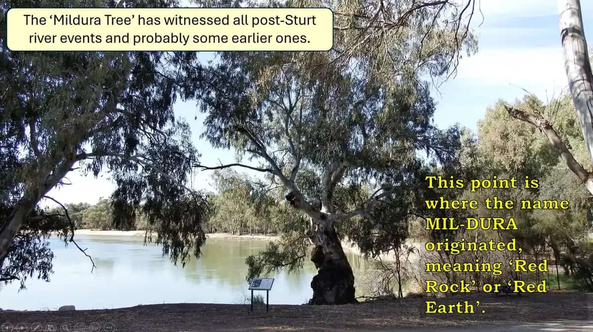
Mildura travel guide: the Murray River city, paddle steamers, Rio Vista House, gateway to Mungo National Park and Murray-Sunset, and travel tips.
Read · 5 min
Victoria · The Murray
Corryong
Corryong, Victoria: Upper Murray town 430 km from Melbourne, Man from Snowy River Museum and April bush festival, visitor centre, parks and how to get there.
Read · 6 min
Frequently asked questions
Is there an outback in Victoria?
Not in the strict sense used for the Centre or the Kimberley. Parks Victoria’s north-west parks — Murray-Sunset, Hattah-Kulkyne, Wyperfeld — and the Mallee around Mildura are the state’s closest landscapes to outback NSW. Visit Victoria describes Mildura as perched on the edge of the wild Australian outback.
How far is Mildura from Melbourne?
About 540 km north-west, roughly a six-hour drive, on our Mildura guide and Victorian touring practice via the Calder Highway. Mildura Airport has flights from capital cities. Visit Victoria also lists Corryong at 430 km north-east of Melbourne.
How far is Mildura from Mungo National Park?
About 110 km north-east, mostly on unsealed roads that close after rain. Check NSW National Parks alerts. Mungo is in NSW, in the Willandra Lakes World Heritage Area, but Mildura is the usual Victorian base.
Where does Corryong fit?
The original Outback Now directory grouped Corryong with The Murray because it sits on the river and the Murray Valley Highway. Visit Victoria currently files Mildura in The Murray region and Corryong in the High Country. Visit Victoria’s Murray touring notes also describe Corryong as about 90 minutes upstream from Albury–Wodonga.
What is Corryong’s population?
1,186 people at the 2021 Census (ABS Urban Centre and Locality UCL215027). Median age 52.
Sources and further reading
Facts on this page were checked against these primary and official sources. Conditions change — confirm before you travel or buy.
- The Murray — Visit Victoria
- Mildura — Visit Victoria
- Corryong — Visit Victoria
- Murray-Sunset National Park — Parks Victoria
- Hattah-Kulkyne National Park — Parks Victoria
- Alpine National Park — Parks Victoria
- Traffic Victoria — Department of Transport and Planning Victoria
- Live Traffic NSW — Transport for NSW
- Mungo National Park — NSW National Parks and Wildlife Service
- Corryong (2021 Census QuickStats, UCL215027) — Australian Bureau of Statistics
- Climate statistics for Corryong Airport (082169) — Bureau of Meteorology