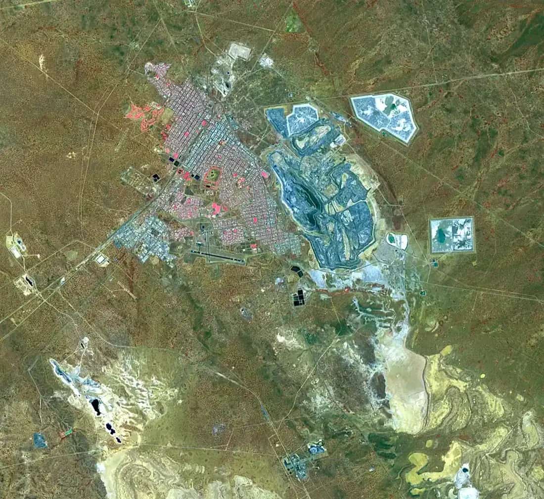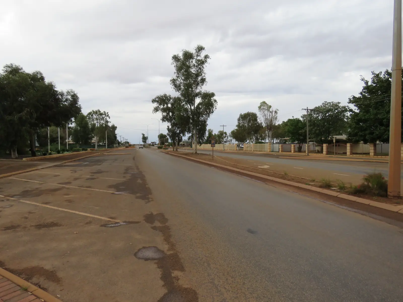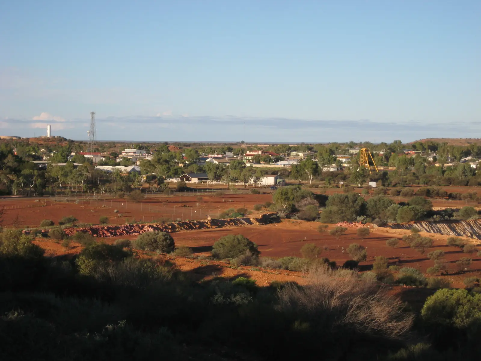
At a glance
Sourced facts only. Distances and services change — confirm before you travel.
- Local government
- Shire of Cue
- Traditional Owners
- Wajarri people named by the Shire of Cue for Walga Rock / WalganhaThat wording is for the rock-art site. This hub does not flatten the whole shire onto one townsite label. Confirm current wording at 72 Austin Street.
- Nearest regional city
- Mount Magnet, 80 km south (Shire of Cue About page); Meekatharra 120 km north on the same page (48-hour RV page separately puts Meekatharra approximately 110 km north).
- Capital
- About 650 km north-east of Perth (Shire of Cue About page). Golden Outback’s Walga Rock product page separately calls Cue an eight-hour drive north-east of Perth.
- Nearest fuel
- Shire of Cue Fuel and General Grocery page names Cue Roadhouse / General Store, (08) 9963 1218. Confirm on arrival.
- Nearest hospital or clinic
- Cue Health Centre (WA Country Health Service Midwest hospitals page). Acute and emergency services 8.00am to 4.00pm Monday to Friday.
- Mobile coverage
- Check Telstra and Optus coverage maps before travel; do not assume a signal off the highway.
- Best time to visit
- Cooler BOM Cue mean maxima May–August (July 18.4 °C on the 1897–1985 temperature series). Golden Outback names wildflowers July to September.
Climate
Monthly means from the Bureau of Meteorology station Cue (007017). This is not a forecast. Listed open. Temperature 87 years (1897–1985); rainfall 128 years (1894–2026). Latest available data 11 November 2026. Nearby open Mount Magnet Aero (007600) is a separate airfield table — do not blend.
| Month | Mean max (°C) | Mean min (°C) | Rainfall (mm) |
|---|---|---|---|
| Jan | 37.8 | 22.8 | 27.5 |
| Feb | 36.7 | 22.4 | 29.1 |
| Mar | 34.0 | 20.1 | 24.9 |
| Apr | 29.0 | 15.8 | 18.3 |
| May | 23.2 | 11.1 | 23.8 |
| Jun | 19.1 | 8.2 | 27.8 |
| Jul | 18.4 | 6.9 | 24.5 |
| Aug | 20.4 | 7.7 | 16.8 |
| Sep | 24.6 | 10.1 | 6.9 |
| Oct | 28.3 | 13.1 | 6.7 |
| Nov | 32.8 | 17.2 | 9.6 |
| Dec | 36.2 | 20.7 | 15.2 |
Cue in pictures
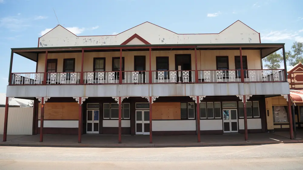
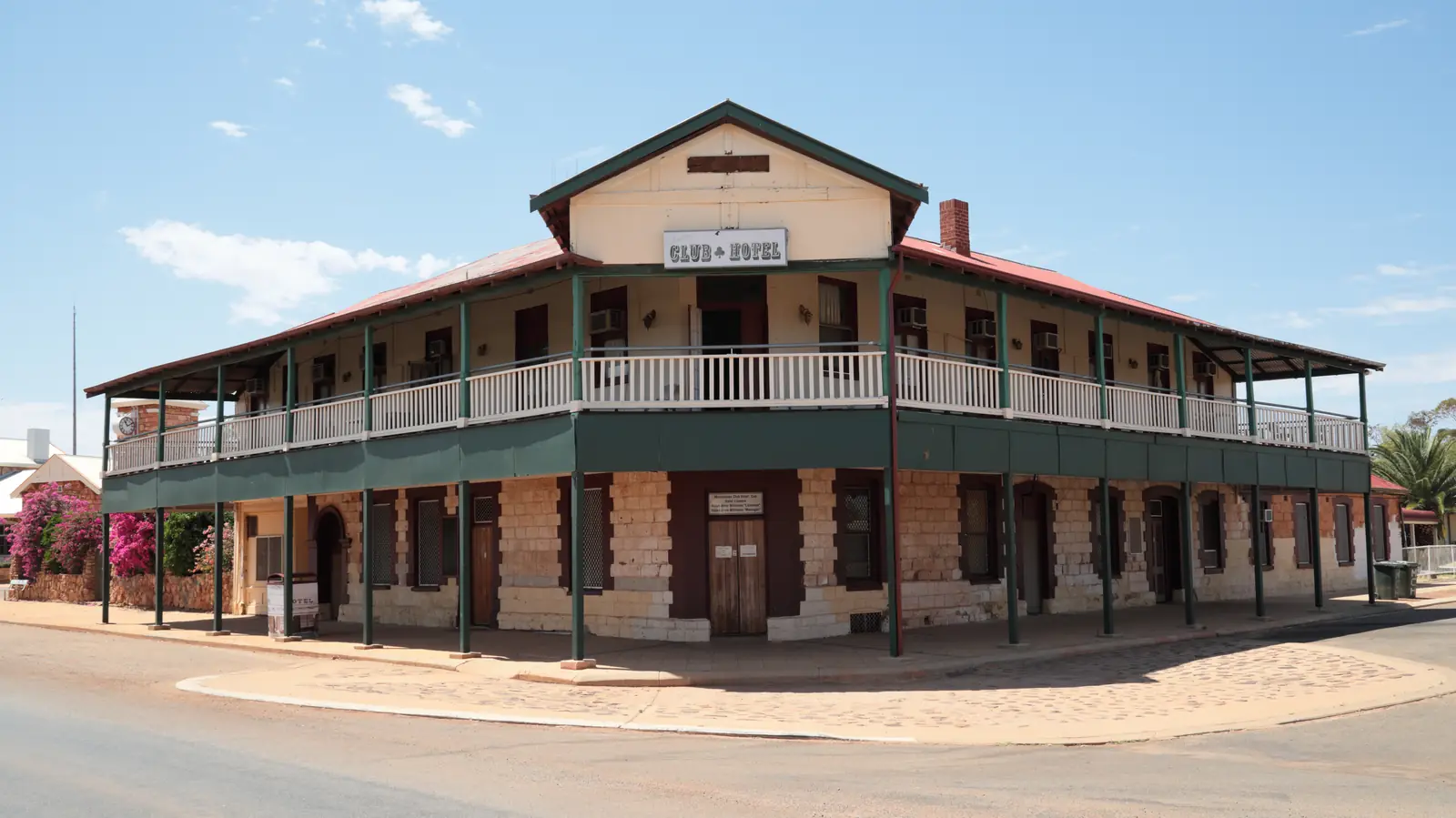
Building with verandah in CuePhoto: Toby Hudson · CC BY-SA 3.0 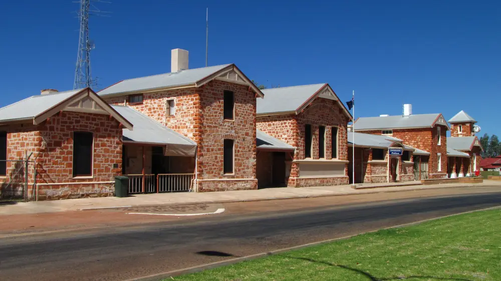
Cue Police StationPhoto: Calistemon · CC BY-SA 3.0 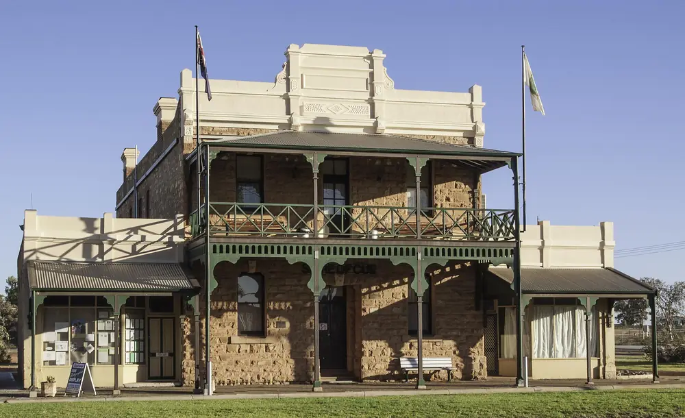
Cue Shire OfficesPhoto: Michal Lewi · CC BY-SA 4.0 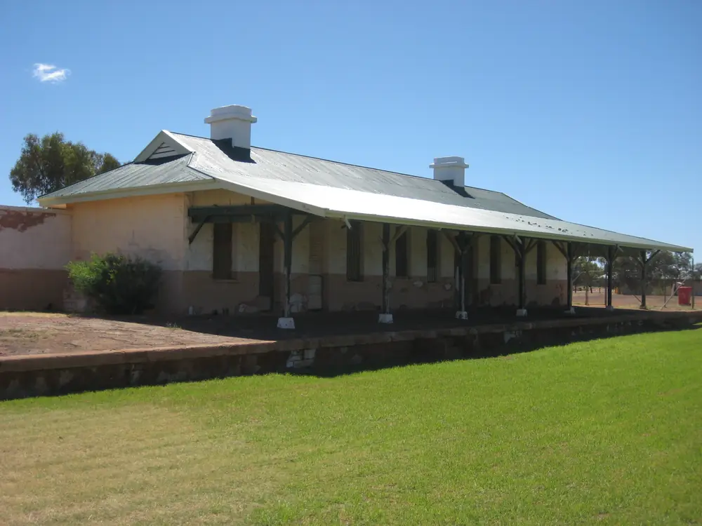
Cue Railway StationPhoto: Calistemon · CC BY-SA 3.0
Australia’s Golden Outback calls Cue the Queen of the Murchison: late-1890s gold-rush buildings still in everyday use, an hour’s drive north of Mount Magnet on the Great Northern Highway. This is the gold town in the Shire of Cue, not a billiards cue and not a coastal suburb. It sits in the Golden Outback hub. The Shire of Cue About page puts the town about 650 km north-east of Perth, 80 km north of Mount Magnet and 120 km south of Meekatharra.
The highway through Cue is sealed. After rain, check the Main Roads WA travel map before you treat those heritage verandahs as a guaranteed next stop, and carry water when January heat is on the Cue BOM table. The Australian Bureau of Statistics does not publish a 2021 Urban Centre (UCL) named Cue. Use suburbs-and-localities SAL50359: 140 people.
Where it is, and how far
Cue is the highway town between Mount Magnet and Meekatharra. The shire About page is the sourced kilometre table below. The shire’s 48-hour RV page uses a different Meekatharra figure — approximately 110 km north — so both official sentences are printed rather than averaged. Golden Outback’s Cue page gives driving time from Mount Magnet, not a Perth kilometre. The Walga Rock product page separately calls Cue an eight-hour drive north-east of Perth.
| Place | Distance from Cue (sourced) |
|---|---|
| Perth | about 650 km south-west (Shire of Cue About page) |
| Mount Magnet | 80 km south (Shire of Cue About page); an hour’s drive (Golden Outback) |
| Meekatharra | 120 km north (About page); approximately 110 km north (48-hour RV page) |
| Walga Rock / Walganha | approximately 48 km south-west (shire Walga page); 48 km west (Golden Outback Cue page) |
| Day Dawn | approximately 6 km south-west (shire Day Dawn page) |
| Nallan Station | approximately 12 km north (shire Stay in Cue page) |
| Lake Nallan | approximately 20 km north (shire Stay in Cue and 48 Hours pages) |
Sandstone is the eastern Murchison neighbour on this site. The Shire of Mount Magnet Miners Pathway notes, used on this site’s Mount Magnet guide, warn that Meekatharra to Sandstone is not sealed. Do not treat every Cue side road as Great Northern Highway bitumen. The Perth to Darwin drive uses this highway.
Facts at a glance
Population. Australian Bureau of Statistics 2021 Census, Suburbs and Localities SAL50359 Cue: 140 people. Median age 63. Sex split 52.4% male / 47.6% female. Aboriginal and/or Torres Strait Islander people 12 (8.6%). 25 families, 193 private dwellings. No UCL. A 2021 local-government QuickStats code for the Shire of Cue was not confirmed in this research, so this hub does not invent an LGA headcount. Read ABS QuickStats for Cue.
Climate. Bureau of Meteorology CUE, 007017, commenced 1894, location 27.43°S, 117.89°E, elevation 453 m, status: open. Mean maximum temperature (87 years, 1897–1985): January 37.8 °C, July 18.4 °C, annual 28.4 °C. Mean minimum: January 22.8 °C, July 6.9 °C, annual 14.7 °C. Mean rainfall (128 years, 1894–2026): annual 232.3 mm; February 29.1 mm wettest mean month; October 6.7 mm driest. Full columns: BOM Cue. For a still-open nearby airfield temperature series, use Mount Magnet Aero, 007600. See Cue weather.
Visitor information. Cue Community and Visitor Centre, 72 Austin Street, Monday–Friday 8:30 am–4:30 pm, (08) 9963 1198 on the 48 Hours in Cue page. The Heritage Centre is inside that building. Shire Office, 73 Austin Street, (08) 9963 8600, shire@cue.wa.gov.au. Cue Tourist Park, 1 Convict Court, (08) 9963 1107, touristpark@cue.wa.gov.au.
Shire area. The About page prints 13,716 km².
Traditional Owners
The Shire of Cue Walga Rock page names Walganha as a place of deep cultural significance to Wajarri people, with an extensive gallery of Aboriginal paintings under the granite overhang. Heritage Council inHerit records Walga Rock (also Walganna Rock) as a Wajarri rock art and Dreaming site, with a municipal inventory adopted 28 November 1996. That is the sourced Country wording for the art site. This guide does not flatten the whole shire onto one label beyond what those pages print. Confirm current wording at 72 Austin Street. Do not touch, wet, trace or climb on painted surfaces. The shire says camping is not permitted at Walga Rock.
History
The shire History page is the sourced town story. In the early 1890s an Aboriginal prospector known as Governor found a large gold nugget at Cuddingwarra, west of the present townsite — the page also says a ten-ounce nugget around nine miles west. On New Year’s Day 1892, Michael Fitzgerald and his party found gold at the Kintore Blow, near today’s Austin Street. Fitzgerald’s partner Tom Cue travelled approximately 80 kilometres to Nannine to register the claim; the developing town took his name. Cue was officially established as a town in 1893.
Golden Outback repeats the Queen of the Murchison line and names the Cue Hotel, government buildings, post office, courthouse, police station and Bell’s Emporium among buildings still in use. The shire History page adds that the former Gentlemen’s Club now serves as the Shire Office, and that Government Buildings, the courthouse precinct and other landmarks remain. Day Dawn, a few kilometres south-west, grew around the Great Fingall mine; the mine closed in 1918. Big Bell was a later, purpose-built mining town established in 1936. This hub does not invent gazettal trivia beyond those pages.
Things to do
Start at the Cue Community and Visitor Centre and the Heritage Centre at 72 Austin Street. The shire attractions page puts locally collected mining and pastoral displays there. Call into the Shire Office at 73 Austin Street for the historical photograph collection from the late 1800s and early 1900s, displayed across two storeys.
Heritage Trail — the shire Heritage Trail page retraces gold-mining-era buildings and also points visitors to Big Bell, Day Dawn and the old tent hospital site at Milly Soak. The 48 Hours itinerary names eight in-town stops: Heritage Centre; photograph collection; Government Buildings (1895–1897, locally quarried granite); Masonic Lodge (1899, timber and galvanised iron); old railway station and platform (railway closed 1978); Old Gaol (1896) and Pensioner Huts (moved to Cue in 1958); Old Municipal Chambers (opened 1896); and the octagonal rotunda on the site of the town’s first sunk well. Access to individual buildings varies — ask at the visitor centre.
Cue Lookout (also Water Tank Hill Lookout on the town map) sits just north of town. Walk the trail or drive Scenic Lookout Access Road (gravel). The shire calls it a sunset stop.
Walga Rock / Walganha — approximately 48 km from Cue. Golden Outback: largest gallery of Aboriginal rock paintings in Western Australia; granite monolith about one and a half kilometres long; product page also prints 5 kilometres in diameter and second largest monolith in Australia. Shire: free entry, no camping, day trip only, look don’t touch. Road conditions change. Confirm before you leave town.
Day Dawn — approximately 6 km south-west. Great Fingall Mine Office, built 1902; fencing for safety; view from outside. Originally the “Four Mile”.
Big Bell — ghost town established 1936; shire: around 850 residents in its historic mining era; ruins of the Big Bell Hotel. Remote road from Cue via Big Bell Road.
Lake Nallan, Garden Granite Rock (about 18 km south-east on the 48 Hours page), Afghan Rock (about 36 km north-west) and Dalgaranga impact crater (named there without a kilometre from Cue) are optional geological detours if daylight and the road allow. Golden Outback also names Nallan Lake nature reserve, Milly Soak after rain, gold prospecting and Nallan Station. Fossicking is not a free-for-all on other people’s leases; ask the visitor centre and see fossicking and gem fields.
Wildflowers July to September on Golden Outback’s Cue page.
A fuller order of a day: things to do in Cue.
Where to stay
The shire Stay in Cue page groups caravan sites, historic accommodation, motel rooms, station stays and a free short-stay RV option. Named types on that page:
- Cue Tourist Park — 1 Convict Court, powered and unpowered sites, tent camping and cottages, (08) 9963 1107
- Cue Roadhouse and Motel — 12 Austin Street, (08) 9963 1218
- Murchison Club Hotel — 66 Austin Street, motel rooms, bar and dining, (08) 9963 1020
- Queen of the Murchison guest house — 53 Austin Street, (08) 9963 1625
- Nallan Station Stay — approximately 12 km north, 0477 366 370
- Lake Nallan bush camping — approximately 20 km north, self-contained, 48 hours, no facilities, no campfires
- Free 48-hour RV stop — northern corner of Dowley Street and Robinson Street, dump point on site
Book before you arrive. The shire says mining, contractors, events, school holidays, wildflower season and winter travellers fill a small inventory. This page does not invent extra motels or prices.
- How to choose: Cue accommodation
- Parks: Cue caravan parks
- Feature your business
If Cue is full, Mount Magnet is 80 km south and Meekatharra is on the highway north. Those are distance facts, not booking guarantees.
Caravan and camping
The highway is sealed through town. Official named van options are the Cue Tourist Park, the 48-hour RV stop for self-contained vehicles, Lake Nallan (self-contained, 48 hours) and Nallan Station. Walga Rock, Day Dawn, Big Bell, Garden Granite Rock and the lookout are not caravan parks. After rain, unsealed legs are a Main Roads and shire-conditions question. Read Cue caravan parks and caravanning in the outback.
Fuel and services
The shire Fuel and General Grocery page names Cue Roadhouse / General Store, (08) 9963 1218, and meals at Queen of the Murchison Guest House and Cafe, (08) 9963 1625. The Stay in Cue and 48-hour RV pages are explicit: Cue does not have a full supermarket. Limited basic food is at the roadhouse. Full supermarket shopping is in Mount Magnet (about 80 km south) and Meekatharra (about 110 km north on the RV page). Potable water for travellers is named at the Oasis Visitor Parking day stop opposite the visitor centre in Austin Street. This guide does not list bowser brands or hours. Fill here before unsealed legs, and still carry extra water. See fuel, permits and road conditions.
Road access
Great Northern Highway — sealed freight road. Road trains, heat, animals at dusk. Main Roads WA travel map, 138 138.
South: Mount Magnet, then Paynes Find and the Geraldton or Perth approaches. North: Meekatharra, then a long run toward Newman on the same highway. The Perth to Darwin drive uses this corridor. East toward Sandstone is a gravel question, not a default sedan loop. Walga Rock is on Cue Dalgaranga Road on Golden Outback’s product page. Do not drive around closed signs to keep a rock-art booking.
Nearby parks and towns
Explore Parks WA did not return a dedicated Walga Rock park page in this research. Nature and culture stops are shire and Golden Outback sites: Walganha, Lake Nallan, Garden Granite Rock, Afghan Rock, Milly Soak, Cue Lookout. Day Dawn and Big Bell are historic townsites, not national parks.
On this site:
- Mount Magnet — 80 km south; Mining and Pastoral Museum, Tourist Trail
- Meekatharra — highway north; Peace Gorge, largest Murchison centre on Golden Outback’s wording
- Sandstone — eastern neighbour; London Bridge on heritage listings
- Kalgoorlie-Boulder — Goldfields service city, not a Cue suburb
Leonora, Laverton and Warburton sit on the wider Golden Outback hub if you are looping rather than running the highway north.
When to go, and how long
January mean maximum 37.8 °C at Cue is hot for the Heritage Trail at midday. July 18.4 °C mean maximum is the walking season on paper; July mean minimum 6.9 °C is why a van night needs a layer. Annual rain 232.3 mm still includes storm bursts that close gravel. Golden Outback names wildflowers July to September without a guaranteed peak week.
One night covers main street, Heritage Centre and the lookout. Two nights is the shire’s own 48 Hours in Cue plan: town and Day Dawn / Big Bell on day one, Walga Rock on day two. Three nights only if Nallan, Garden Granite Rock or prospecting is open and legal. See Cue weather. Operators: feature your business. The listings slot on this hub stays empty until a checked operator appears.
Plan this trip
Tell us the dates, who you are travelling with and where you need help. We reply with planning notes for Cue — we are not a booking agent.
Events and road-conditions newsletter
Occasional notes on outback festivals, race days and official road-condition sources — not a daily blast. We use these details only to send the newsletter.
Western Australia · Golden Outback
Cue accommodation
Where to stay in Cue: Cue Tourist Park, roadhouse motel, Murchison Club Hotel, Queen of the Murchison guest house, Nallan Station and the shire’s free 48-hour RV stop. Confirm before you arrive.
Read · 4 min
Western Australia · Golden Outback
Cue caravan parks
Camping in Cue: Cue Tourist Park powered sites, the shire’s free 48-hour RV stop and Lake Nallan self-contained camping as named by the Shire of Cue. Confirm before you unhitch.
Read · 4 min
Western Australia · Golden Outback
Cue weather
Cue climate from BOM Cue (007017): January mean max 37.8 °C, July 18.4 °C, annual rainfall 232.3 mm. Temperature means 1897–1985; rainfall 1894–2026. Mount Magnet Aero remains a nearby open airfield table.
Read · 4 min
Western Australia · Golden Outback
Things to do in Cue
Things to do in Cue: Heritage Centre and photograph collection, Austin Street buildings, Walga Rock art, Day Dawn Great Fingall office, Big Bell ruins and Cue Lookout.
Read · 5 min
Frequently asked questions
What is Cue’s population?
140 people at the 2021 Census for suburbs-and-localities SAL50359. Median age 63. The ABS does not publish a 2021 Urban Centre (UCL) named Cue on the QuickStats pages used here.
How far is Cue from Mount Magnet and Meekatharra?
The Shire of Cue About page puts Cue 80 km north of Mount Magnet and 120 km south of Meekatharra, about 650 km north-east of Perth. The shire’s 48-hour RV page separately puts Meekatharra approximately 110 km north. Golden Outback describes an hour’s drive north from Mount Magnet.
What is the weather like in Cue?
BOM Cue (007017) has a January mean maximum of 37.8 °C, a July mean maximum of 18.4 °C and annual mean rainfall of 232.3 mm. Temperature means use 1897–1985. Rainfall means run 1894–2026. The station is listed open. Nearby open airfield temperatures are at Mount Magnet Aero.
Whose Country is Walga Rock on?
The Shire of Cue Walga Rock page names Walganha as a place of deep cultural significance to Wajarri people. inHerit records Walga Rock as a Wajarri rock art and Dreaming site. Confirm current wording at the Cue Community and Visitor Centre.
Where is the Cue visitor centre?
The shire’s 48 Hours in Cue page places the Cue Community and Visitor Centre at 72 Austin Street, Cue WA 6640, Monday–Friday 8:30 am–4:30 pm, phone (08) 9963 1198. The Heritage Centre is inside that building. The Shire Office is at 73 Austin Street, (08) 9963 8600.
Is Cue on a sealed highway?
Yes. The Shire of Cue About page places the town on the Great Northern Highway between Mount Magnet and Meekatharra. Check the Main Roads WA travel map before unsealed legs to Walga Rock, Day Dawn or Big Bell.
Sources and further reading
Facts on this page were checked against these primary and official sources. Conditions change — confirm before you travel or buy.
- Midwest hospitals and health services — WA Country Health Service
- Cue 2021 Census QuickStats (SAL50359) — Australian Bureau of Statistics
- Climate statistics for Cue (007017) — Bureau of Meteorology
- Climate statistics for Mount Magnet Aero (007600) — Bureau of Meteorology
- About — Queen of the Murchison — Shire of Cue
- The History of Cue — Shire of Cue
- Walga Rock — Shire of Cue
- 48 Hours in Cue — Shire of Cue
- Stay in Cue — Shire of Cue
- Things to See and Do — Shire of Cue
- Cue Tourist Park — Shire of Cue
- Free 48-Hour RV Stop — Shire of Cue
- Day Dawn — Shire of Cue
- Big Bell Ghost Town — Shire of Cue
- Cue Lookout — Shire of Cue
- Heritage Trail — Shire of Cue
- Fuel and General Grocery — Shire of Cue
- Cue — Australia’s Golden Outback — Australia's Golden Outback
- Walga Rock — Australia’s Golden Outback — Australia's Golden Outback
- Walga Rock — inHerit — Heritage Council of Western Australia
- Main Roads WA travel map — Main Roads Western Australia