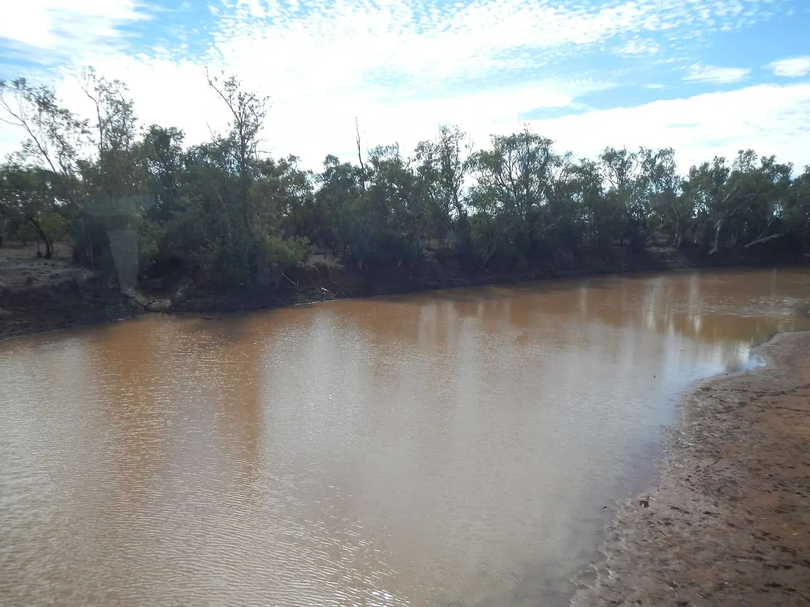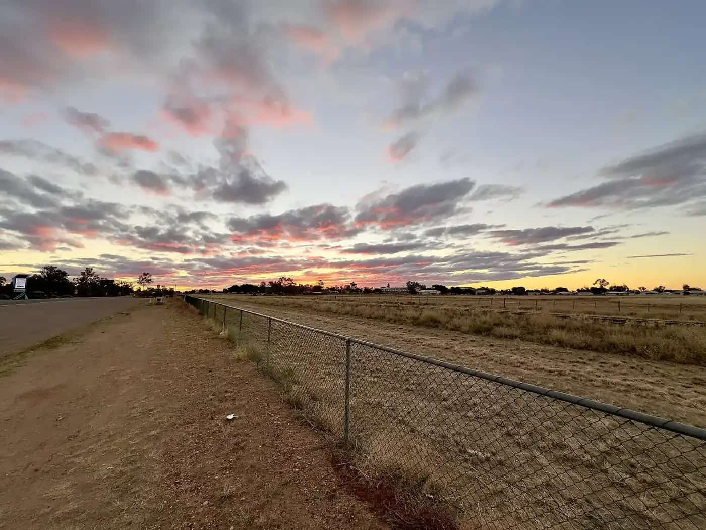
The central west is the part of outback Queensland most travellers mean when they talk about the Matilda Way. Mitchell grass downs stretch around Longreach, Winton, Barcaldine and Blackall. Further west the country drops into the Channel Country around Boulia, Bedourie and Birdsville, where the Georgina, Diamantina and Cooper Creek systems braid across floodplains on their way towards Kati Thanda–Lake Eyre. Outback Queensland Tourism promotes the region as dinosaur country, pastoral heritage and remote river towns. This page is the hub for our town guides.
Towns of the central west
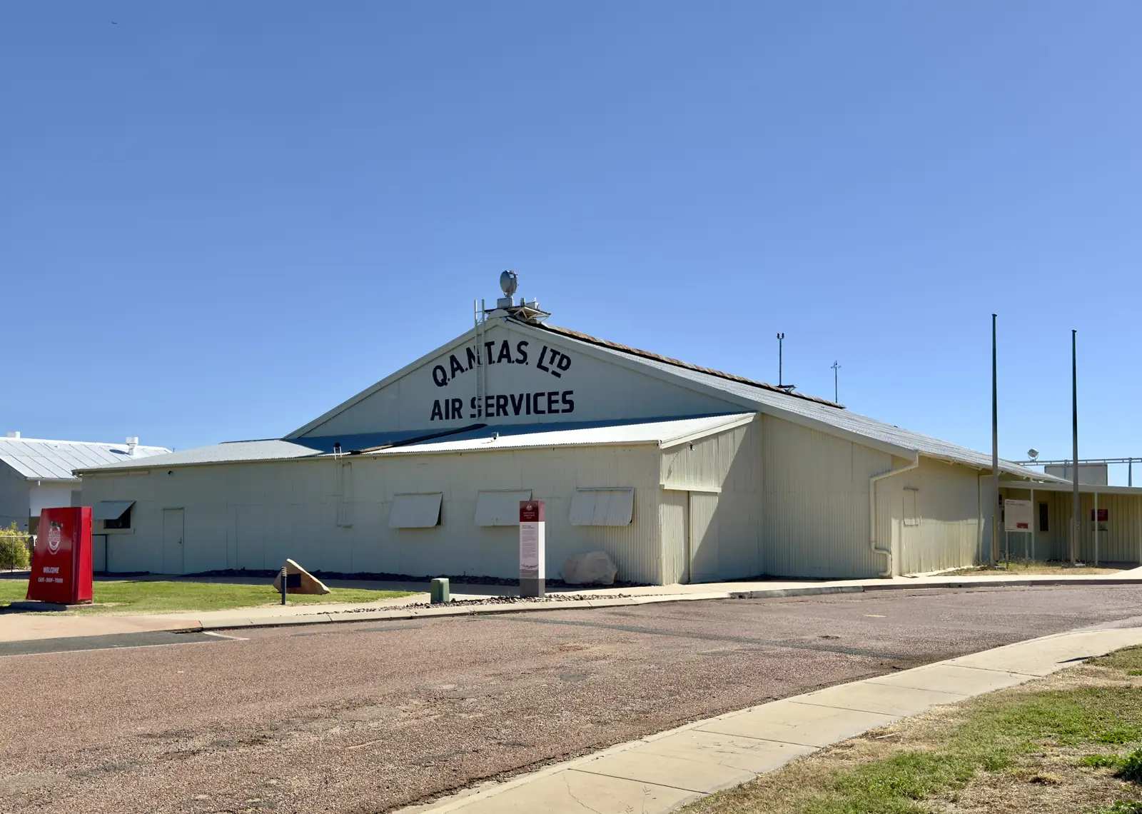
- Longreach sits on the Thomson River on Iningai Country. It is the best-known base in the region, with the Australian Stockman's Hall of Fame and the Qantas Founders Museum. Qantas was founded in Winton in 1920, moved its operations to Longreach in 1921 and built aircraft in the heritage-listed hangar before shifting headquarters to Brisbane in 1930. Thomson River sunset cruises run in the cooler months. The Spirit of the Outback train terminates here.
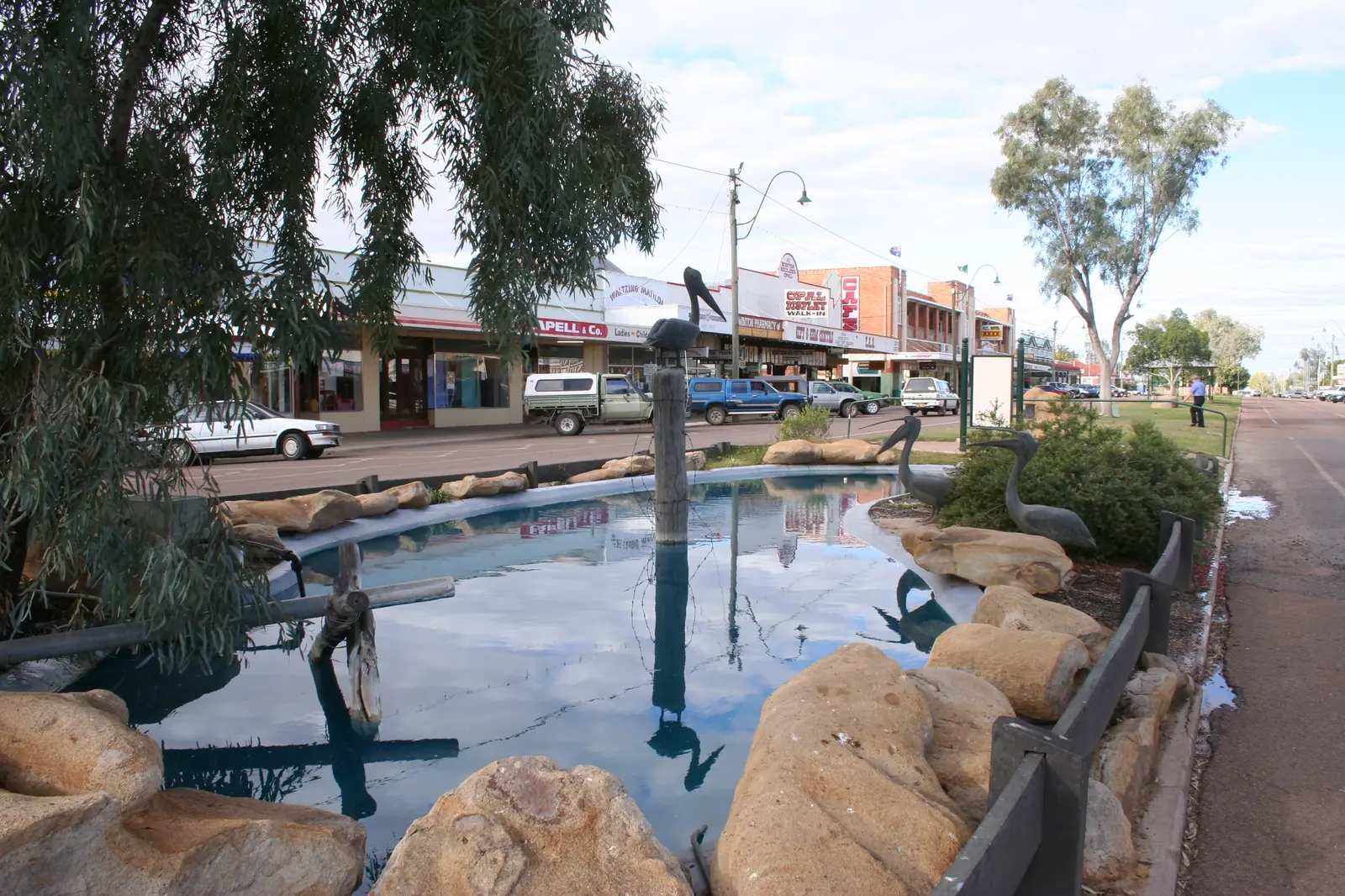
- Winton, about 180 km north-west, is the dinosaur capital and the town where Waltzing Matilda was first performed publicly at the North Gregory Hotel in 1895. The Australian Age of Dinosaurs museum, Lark Quarry dinosaur trackways (about 110 km south-west) and the Waltzing Matilda Centre are the main draws, with Bladensburg National Park on the edge of town.
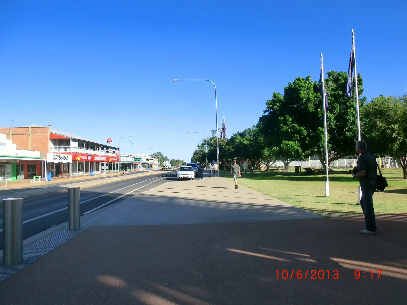
- Barcaldine lies at the junction of the Capricorn and Landsborough highways, about 105 km east of Longreach. The 1891 shearers' strike gathered here, and the Tree of Knowledge memorial shelters the preserved trunk of the ghost gum that was the strikers' meeting place. The Australian Workers Heritage Centre tells the labour story. The town is known as the Garden City of the West for its artesian water.
- Blackall sits on the Barcoo River, about 210 km south-east of Longreach on the Matilda Way. The heritage-listed Blackall Woolscour, built in 1908, still runs steam-driven tours. A statue honours shearer Jackie Howe, who in 1892 shore 321 sheep in under eight hours with blade shears at Alice Downs station. The Black Stump survey marker of 1887 is linked with the phrase "beyond the black stump". Idalia National Park is nearby.
- Tambo is the Blackall-Tambo town on the Landsborough Highway between Blackall and Augathella.
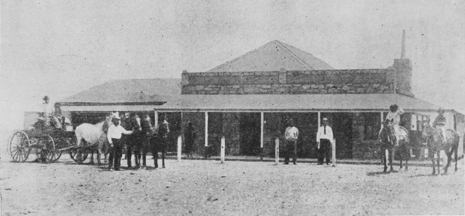
- Ilfracombe is the Landsborough Highway town 27 km east of Longreach, named for Machinery Mile and the Wellshot Hotel.
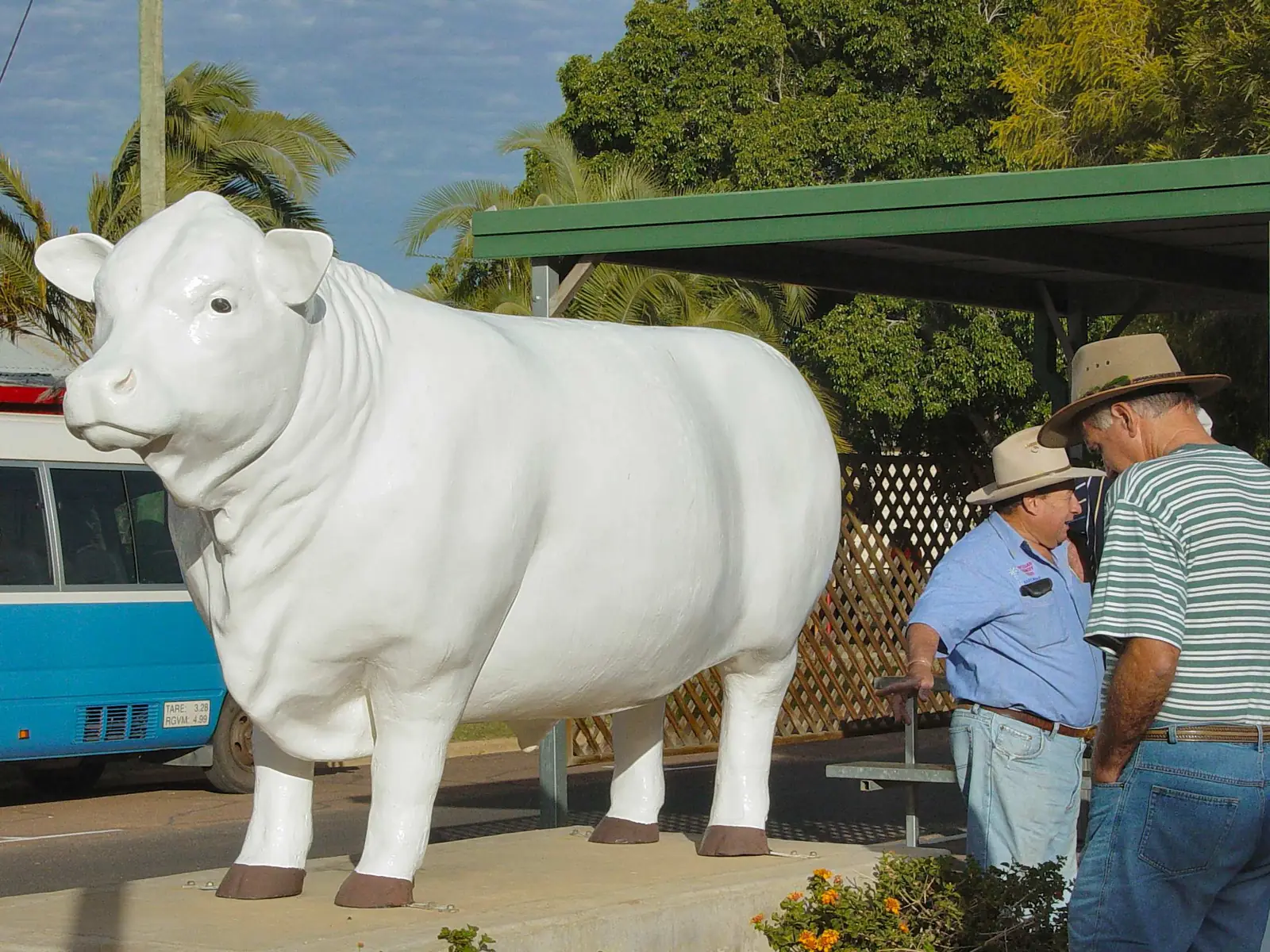
- Muttaburra is the Barcaldine Region town off the Landsborough, home of the Muttaburrasaurus Interpretation Centre and a centre-of-Queensland monument.
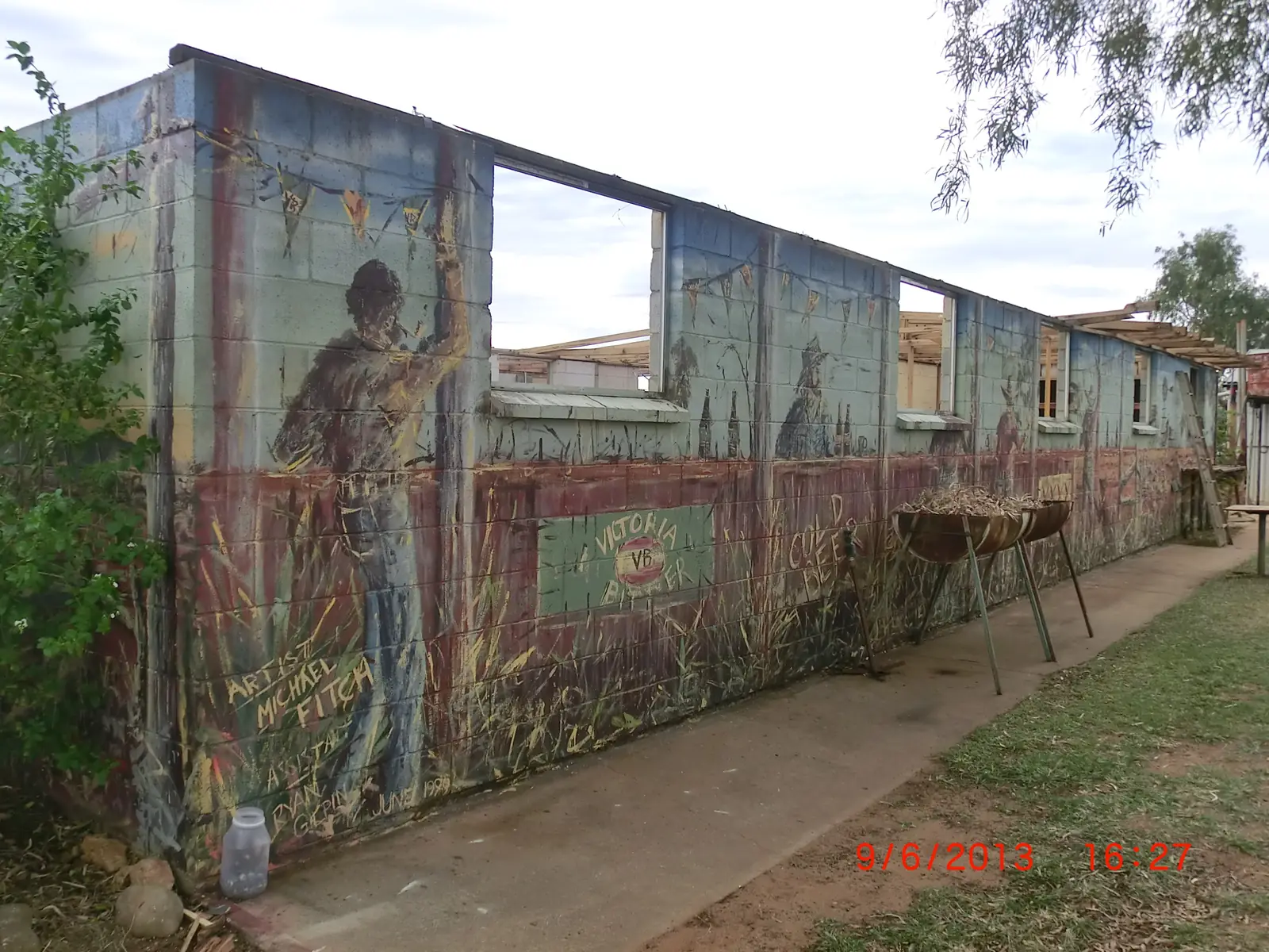
- Aramac is north of Barcaldine — White Bull country and the Lake Dunn Sculpture Trail.
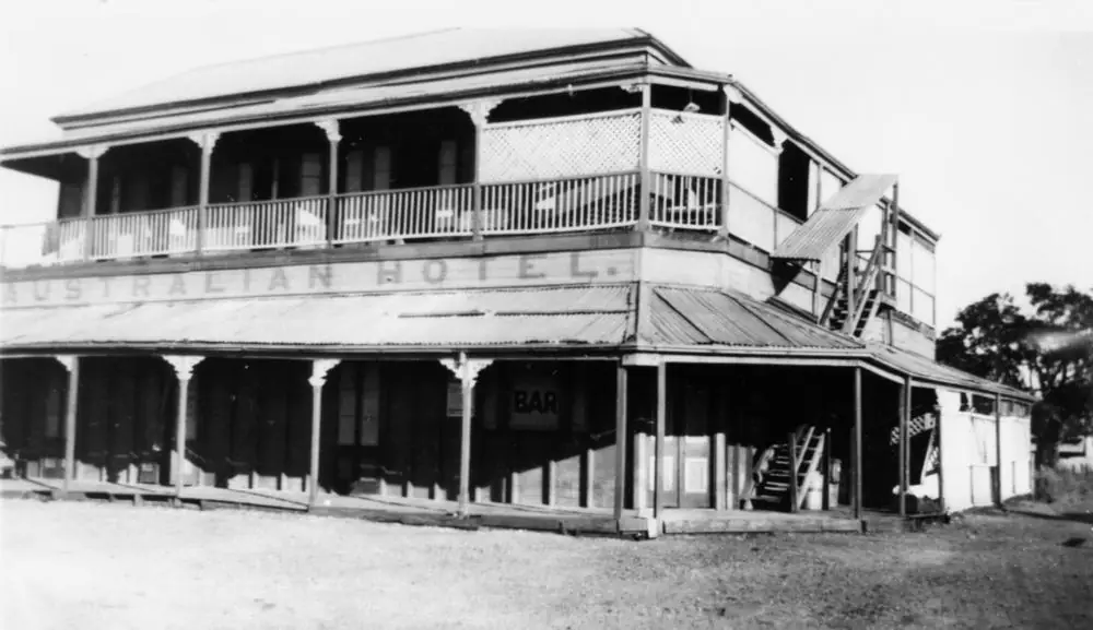
- Betoota is the tiny Channel Country locality between Windorah and Birdsville, not a city. ABS 2021 does not publish a Betoota urban centre or suburbs-and-localities count.
- Stonehenge is the Barcoo Shire Thomson River locality (Queensland, not Wiltshire).
- Isisford is the Barcoo / Longreach Regional Council town on the Barcoo River south-west of Longreach.
- Yaraka is a tiny Barcoo rail locality south of Isisford.
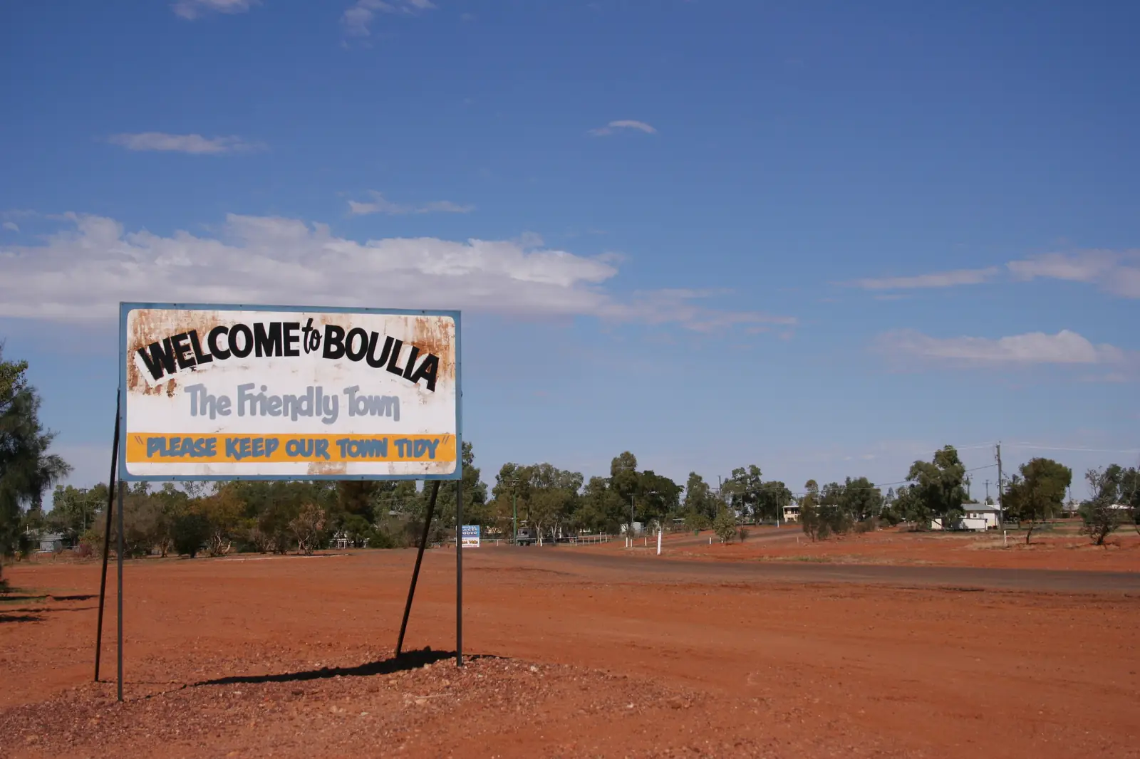
- Boulia is on Pitta Pitta Country on the Burke River, about 300 km south of Mount Isa. The Min Min Encounter tells the story of the unexplained light reported across western Queensland. The Stone House Museum holds marine fossils and local history, and the Boulia Camel Races are held in July. Diamantina National Park is about 183 km to the south-east.
- Bedourie is the Diamantina Shire's administrative centre, roughly 190 km north of Birdsville on the Eyre Creek floodplain. It has an artesian spa (Diamantina Shire Council lists the water at about 38–40°C), a rammed-earth Pisé House from 1896, and camel races, usually in July.
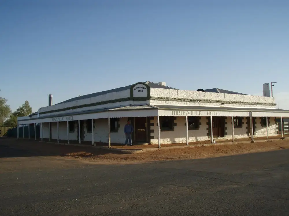
- Birdsville sits on Wangkangurru Yarluyandi Country on the Diamantina River at the edge of the Simpson Desert. The Birdsville Races have run since 1882. The 1884 Birdsville Hotel, Big Red dune (Nappanerica) about 35 km west, and the top of the Birdsville Track make it one of Australia's most famous remote towns. Bedourie is the nearest town.
Getting around
The Matilda Way follows sealed highways — the Mitchell, Landsborough and Burke Developmental roads — from the south-west through Blackall, Barcaldine, Longreach and Winton. Outback Queensland Tourism lists the full Cunnamulla-to-Karumba drive at about 1,812 km. The Capricorn Highway is the sealed east–west route from Rockhampton to Barcaldine and Longreach.
Channel Country roads are a different proposition. The Birdsville Developmental Road from Windorah has sealed and unsealed sections. Routes between Winton, Boulia, Bedourie and Birdsville include long unsealed stretches that close after rain, sometimes for days, even when it is not raining locally — floodwater from the north can take weeks to arrive. Driving on a closed road can attract fines. Check QLDTraffic (13 19 40) every day, and SA's outback road warnings if you are heading down the Birdsville Track to Marree.
Queensland Rail's Spirit of the Outback is the relaxed alternative to the long drive from Brisbane. Regional flights serve Longreach, Winton and Birdsville. Fuel, water and a road-condition check are not optional on the unsealed legs. See outback safety and fuel, permits and road conditions.
When to go
April to September is peak season. Bureau of Meteorology averages for Birdsville Airport show mean maximums of about 21.5°C in June and above 40°C in January. The same pattern holds across the downs: hot summers, dry winters and cold nights. Most museum programs, stockman's shows and river cruises run in the cooler months. Events cluster then too — camel races in Boulia and Bedourie in July, the Birdsville Races in September, and the Vision Splendid Outback Film Festival in Winton in winter. Book well ahead for race week. See best time to visit.
Themes
Dinosaurs and fossils. The Dinosaur Trail is centred on Winton, with the Australian Age of Dinosaurs and Lark Quarry. Hughenden and Richmond, in outback north, complete the trail. Marine fossils also turn up in the Boulia district, a reminder that this country was an inland sea.
Pastoral and aviation heritage. Longreach's Stockman's Hall of Fame and Qantas Founders Museum sit a short drive from Barcaldine's Tree of Knowledge and Blackall's woolscour. Wool and cattle still shape the downs.
Channel Country. Birdsville, Bedourie and Boulia belong to the Channel Country as well as this town hub. After floods, waterbirds gather on waterholes; roads can stay closed for long periods. Munga-Thirri–Simpson Desert National Park is west of Birdsville.
Artesian water. Bedourie's spa and Blackall's artesian-heated aquatic centre are part of the wider Great Artesian Spa story that continues into the south-west.
A suggested loop
A two-week outback Queensland loop from Brisbane often runs Roma and Charleville in the south-west, then north on the Matilda Way to Blackall, Barcaldine, Longreach and Winton, with a side trip to Boulia if roads are open. Birdsville is a dedicated expedition, not a casual add-on: allow extra days and a road-condition plan. Visitor information centres in Longreach, Winton, Barcaldine, Blackall, Boulia, Bedourie and Birdsville are the best source of current opening hours, fuel and events.
Plan the drive with the Matilda Way and outback Queensland road trip guides, and return to the outback Queensland state hub for neighbouring regions.
Towns in this region
Outback Queensland
Longreach
Longreach, Queensland: the Australian Stockman's Hall of Fame, Qantas Founders Museum, Thomson River sunset cruises and how to get there.
Read · 7 min
Outback Queensland
Winton
Winton, Queensland: Australian Age of Dinosaurs, Lark Quarry trackways, the Waltzing Matilda Centre, Royal Open Air Theatre and Bladensburg National Park.
Read · 6 min
Outback Queensland
Birdsville
Birdsville, Queensland: why it's famous, the Birdsville Races, the Birdsville Hotel, Big Red dune, the Birdsville Track and road access.
Read · 6 min
Outback Queensland
Barcaldine
Barcaldine, Queensland: the Tree of Knowledge memorial, the 1891 shearers' strike, Australian Workers Heritage Centre, historic pubs and caravan parks.
Read · 5 min
Outback Queensland
Boulia
Boulia, Queensland: the Min Min Encounter, the Boulia Camel Races, the Stone House museum, Burke and Wills history and travel tips for the Channel Country.
Read · 5 min
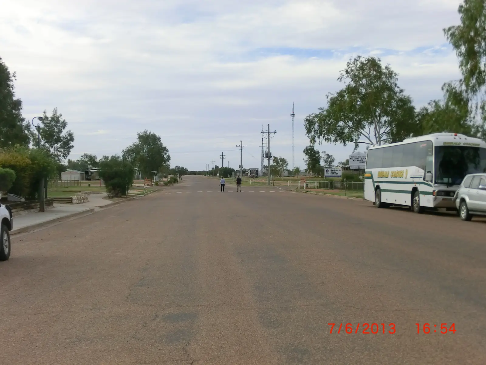
Queensland · Channel Country
Bedourie
Bedourie travel guide: the Diamantina Shire's administrative centre in Channel Country, its artesian spa, mud-brick hotel, camel races and travel tips.
Read · 4 min
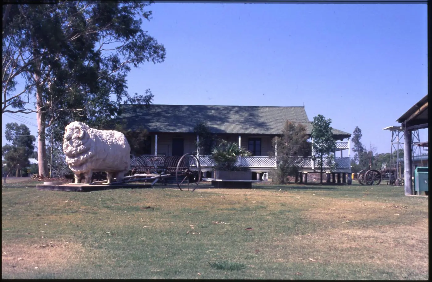
Queensland · Central West
Blackall
Blackall travel guide: the Black Stump, the historic Blackall Woolscour, Jackie Howe's shearing record, the artesian aquatic centre and travel tips.
Read · 5 min
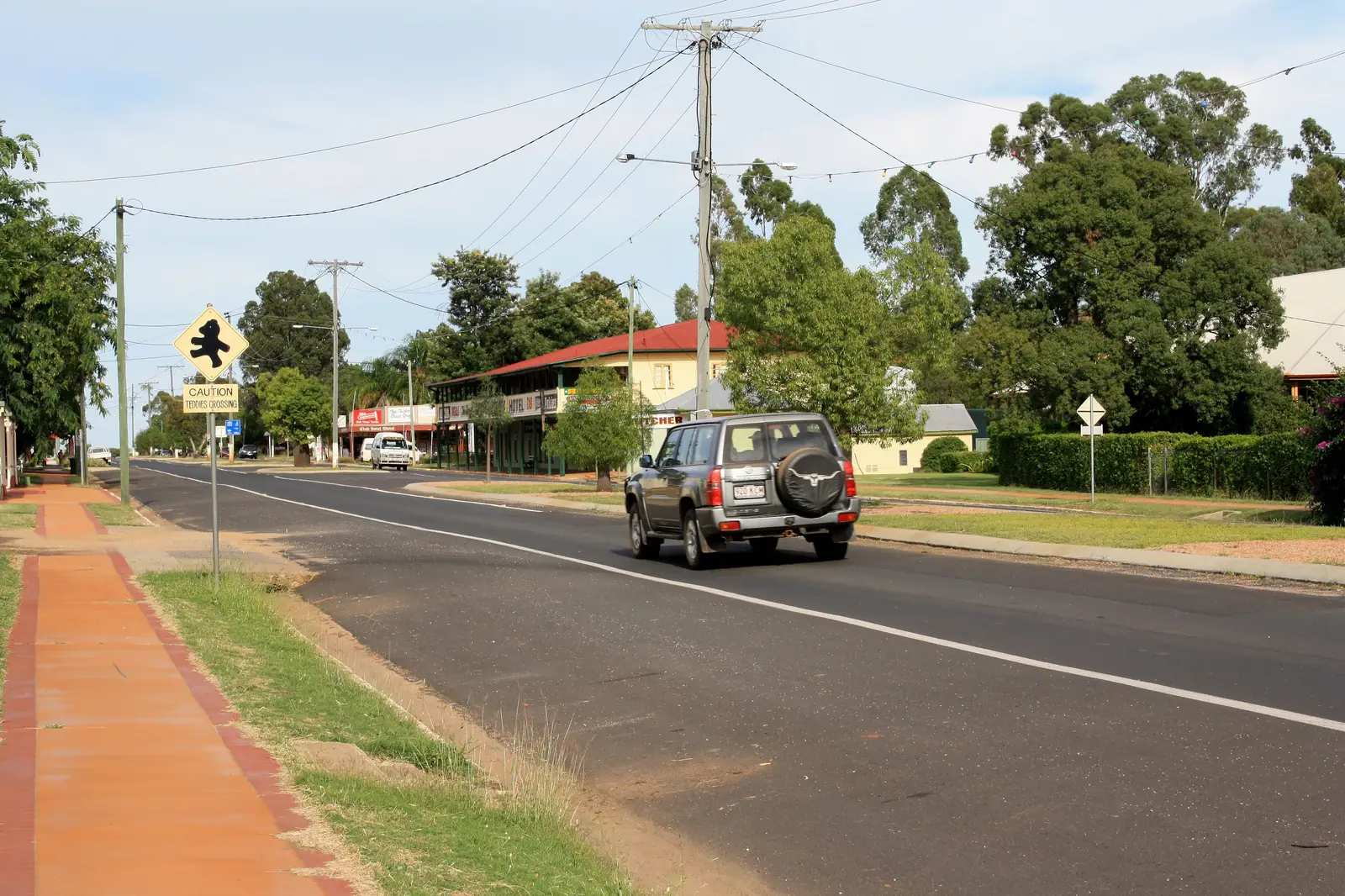
Queensland · Central West
Tambo
Tambo travel guide: Blackall-Tambo Regional Council town on the Landsborough Highway / Matilda Way, Tambo Teddies, heritage precinct, Barcoo River, stays and Salvator Rosa access.
Read · 8 min
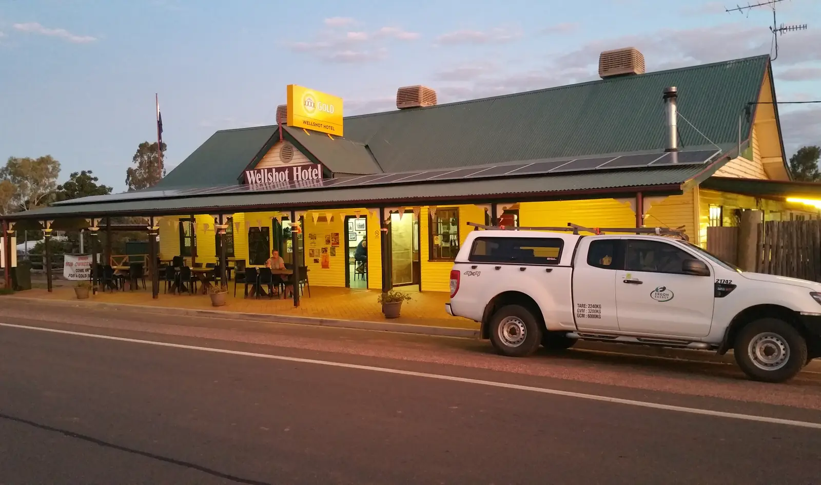
Queensland · Central West
Ilfracombe
Ilfracombe travel guide: Longreach Regional Council town 27 km east of Longreach on the Landsborough Highway — Lynn Cameron Machinery Mile, Wellshot Centre, artesian spa and Heritage Precinct.
Read · 8 min
Queensland · Central West
Betoota
Betoota travel guide: tiny Diamantina Shire locality on the gibber plain between Windorah and Birdsville — Betoota Hotel, Dreamtime Serpent, Deon’s Lookout. Not a city.
Read · 8 min
Queensland · Central West
Muttaburra
Muttaburra travel guide: Barcaldine Region town at the geographic centre of Queensland — Muttaburrasaurus Interpretation Centre, Dr Arratta museum, Cassimatis store and river camping.
Read · 7 min
Queensland · Central West
Aramac
Aramac travel guide: Barcaldine Region town north of Barcaldine — Harry Redford’s White Bull, Tramway Museum, 209 km Lake Dunn Sculpture Trail and Freedom of Choice Park.
Read · 7 min
Queensland · Central West
Stonehenge
Stonehenge, Queensland travel guide: Barcoo Shire town on the Thomson Developmental Road — Address Book, John Egan Pioneer Track, XXXX Hill and Thomson River. Not Stonehenge in Wiltshire.
Read · 8 min
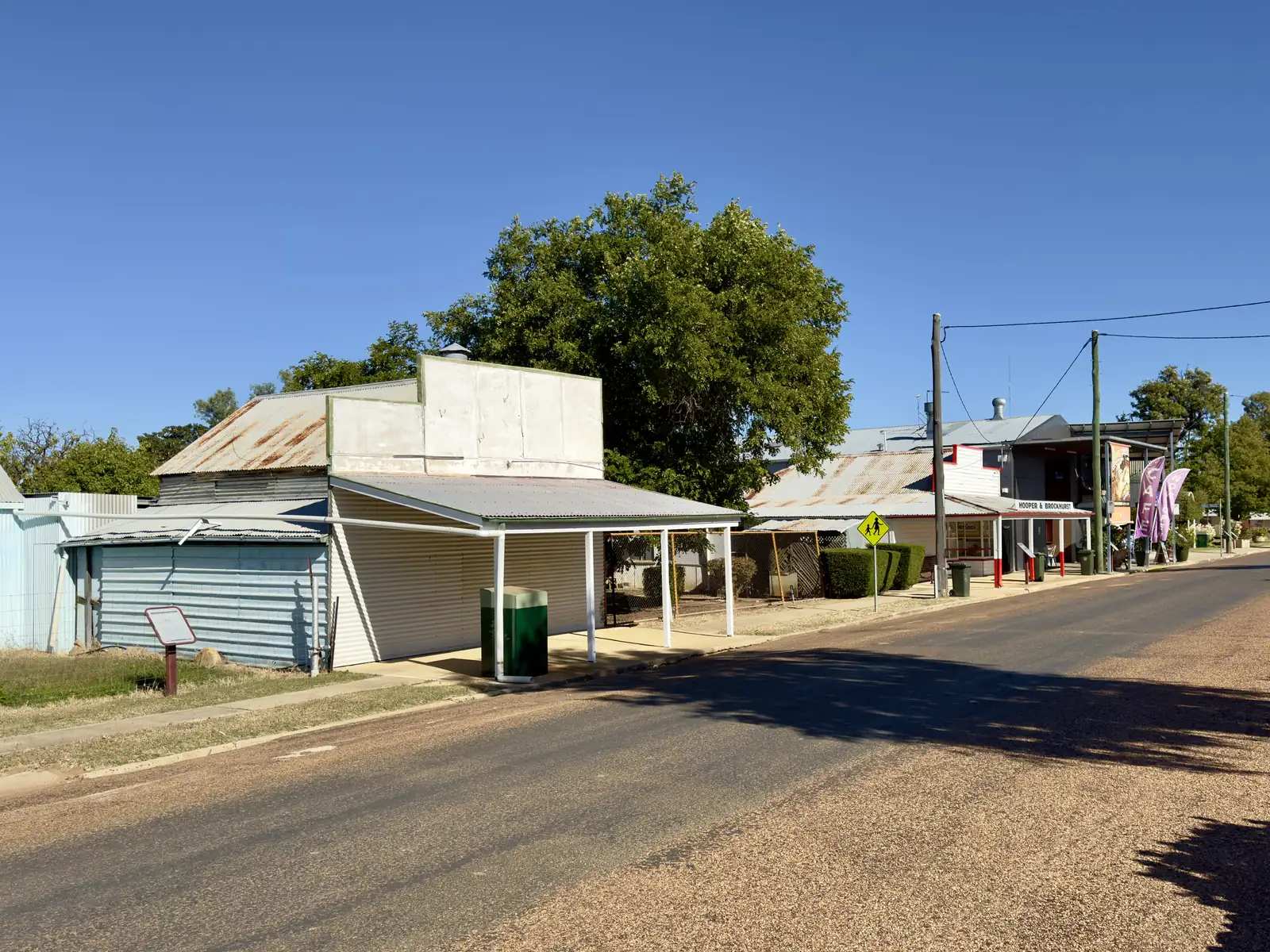
Queensland · Central West
Isisford
Isisford travel guide: Longreach Regional Council town on the Barcoo — Outer Barcoo Interpretation Centre, Big Yellowbelly, Oma Waterhole 16 km and Idalia access. Sourced facts only.
Read · 10 min
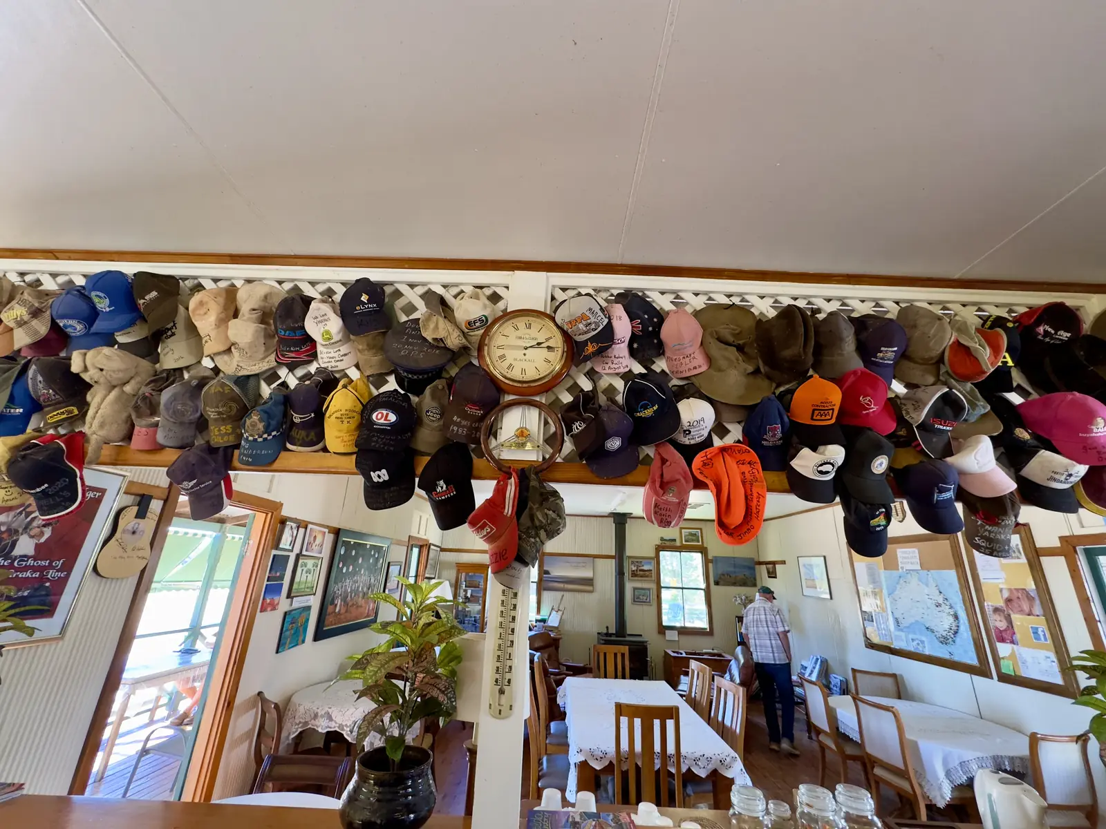
Queensland · Central West
Yaraka
Yaraka travel guide: tiny Longreach Region locality 100 km from Isisford — Mount Slowcombe lookout, named powered van sites, Welford southern approach. No 2021 Census count. Sourced facts only.
Read · 8 min
Frequently asked questions
Which towns are in central west Queensland?
This hub covers Longreach, Winton, Barcaldine, Blackall, Tambo, Ilfracombe, Muttaburra, Aramac, Betoota, Boulia, Bedourie and Birdsville. They sit on the Landsborough (Matilda Way), Capricorn and Kennedy highways and on the Channel Country roads that run south to the South Australian border.
How do you get to the central west?
Drive west from Rockhampton on the Capricorn Highway to Barcaldine and Longreach, or north on the Matilda Way from Charleville. Queensland Rail's Spirit of the Outback runs from Brisbane to Longreach via Rockhampton. Regional flights serve Longreach, Winton and Birdsville. Check QLDTraffic before you travel.
What is the best time to visit?
April to September is the main touring season, when museums, river cruises and most events run. Summers are very hot. Channel Country roads to Birdsville, Bedourie and Boulia close after rain even when the local weather is fine.
Do you need a 4WD for Birdsville and Bedourie?
The Matilda Way towns — Longreach, Winton, Barcaldine and Blackall — sit on sealed highways. Routes to Birdsville and Bedourie include long unsealed sections. A high-clearance 4WD is strongly recommended, and those roads close after rain. Check QLDTraffic and, for the Birdsville Track, SA's outback road warnings.
Sources and further reading
Facts on this page were checked against these primary and official sources. Conditions change — confirm before you travel or buy.
- Outback Queensland — Outback Queensland Tourism Association
- QLDTraffic — Queensland Government
- Matilda Way — Drive Queensland
- Climate statistics for Birdsville Airport (038026) — Bureau of Meteorology
- Diamantina Shire Council — visitors — Diamantina Shire Council
- Experience Longreach — Longreach Regional Council