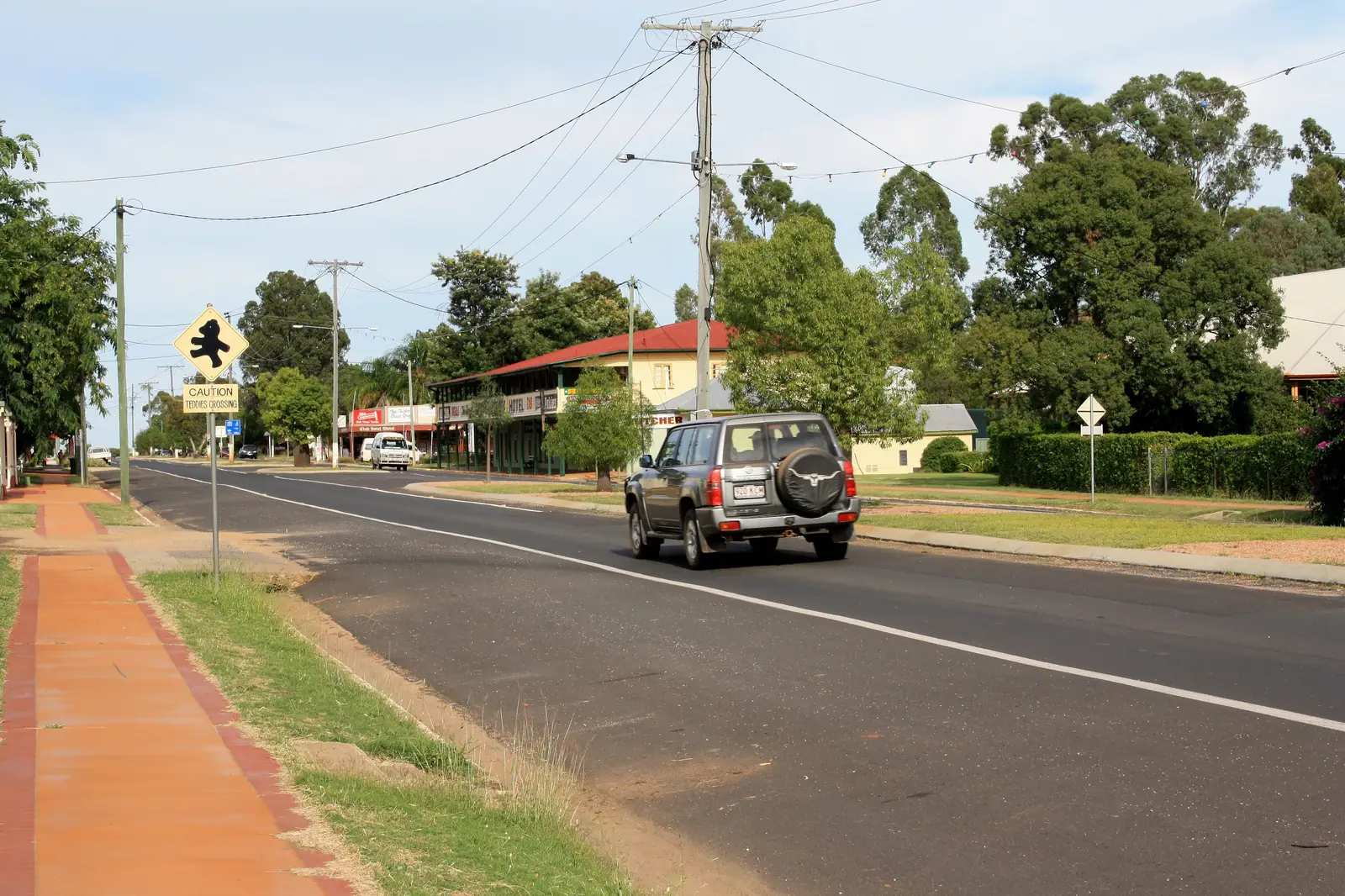
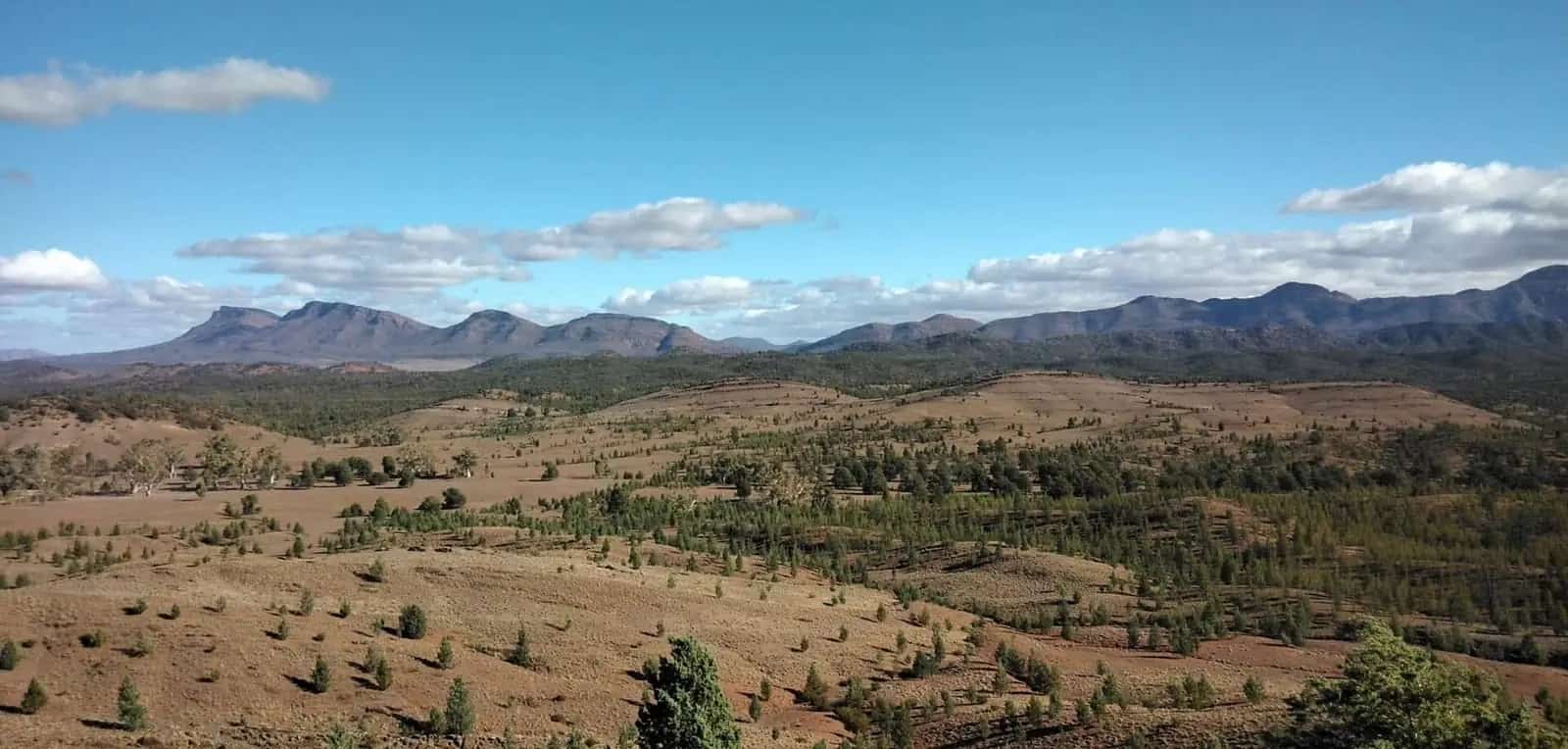
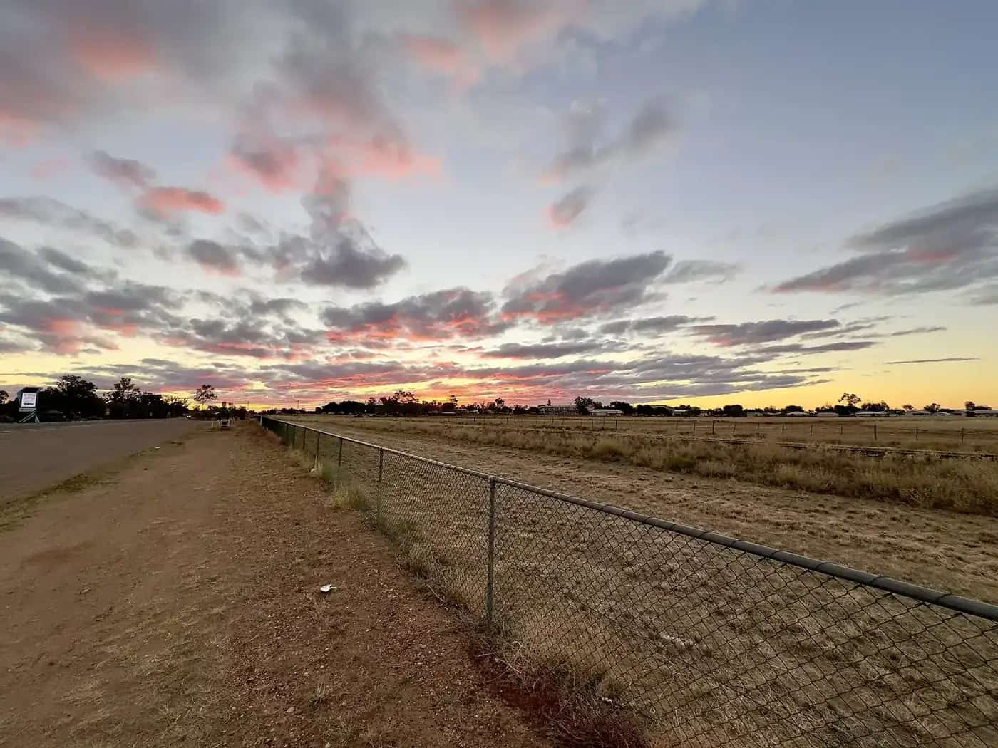
Tambo sits on the Barcoo at the Bureau of Meteorology’s Tambo Post Office station (035069). The station commenced in 1877. The published location is 24.88°S, 146.26°E, elevation 395 m, status Open. The summary page fetched for this guide listed latest available data 10 November 2026. Figures will drift as extra years are added. Always open the BOM climate statistics for Tambo Post Office before you treat a number as current.
This page does not fill empty months from memory. Hottest and coolest months below are the months with the highest and lowest mean maximum temperature.
Climate table (Tambo Post Office 035069)
| Period | Mean maximum (°C) | Mean minimum (°C) | Mean rainfall (mm) | Mean days rain ≥ 1 mm | Mean clear days |
|---|---|---|---|---|---|
| January (hottest mean max) | 35.1 | 20.6 | 78.9 | 6.1 | 9.7 |
| February | 33.9 | 20.0 | 76.5 | 5.6 | 8.0 |
| March | 32.5 | 17.8 | 61.3 | 4.5 | 11.5 |
| April | 29.2 | 12.8 | 36.7 | 2.5 | 12.8 |
| May | 25.0 | 8.2 | 32.7 | 2.4 | 13.8 |
| June | 21.7 | 5.0 | 27.9 | 2.5 | 15.5 |
| July (coolest mean max) | 21.4 | 3.9 | 26.4 | 2.4 | 18.3 |
| August | 23.7 | 5.2 | 18.5 | 1.9 | 19.0 |
| September | 27.5 | 9.2 | 21.1 | 2.1 | 18.2 |
| October | 31.1 | 13.9 | 35.5 | 3.7 | 15.9 |
| November | 33.3 | 17.2 | 48.1 | 4.5 | 11.3 |
| December | 34.8 | 19.3 | 68.7 | 5.3 | 10.6 |
| Annual | 29.1 | 12.8 | 531.2 | 43.5 | 164.6 |
Temperature means: 94 years (1931–2026). Rainfall mean: 145 years (1877–2026). Clear-day means: 54 years (1957–2010). August is the driest rainfall month (18.5 mm) and the clearest (19.0 mean clear days). Median (decile 5) annual rainfall is 518.3 mm. 9am relative humidity is highest in June (70%) and lowest in November (44%) on that table. 3pm humidity is low year-round (annual mean 34%).
What the averages mean on the ground
Summer. A January mean maximum of 35.1 °C is hot working weather on the Barcoo. The Coolibah Walk and Tambo Dam picnic belong in the early morning or late afternoon. Storms are more likely in the warmer months. The Landsborough Highway can still close on the floodplain. Check QLDTraffic (13 19 40). Salvator Rosa’s unsealed roads are the first to go — Queensland Parks says they become impassable in wet weather. Do not drive around closed signs to “just have a look at the park”.
Winter. A July mean maximum of 21.4 °C is the comfortable season for the Heritage Precinct, Tambo Teddies and Arthur Street. July’s mean minimum of 3.9 °C is why hoses freeze, swags feel thin, and a cabin is a climate choice. June mean minimum is 5.0 °C. Pack layers even if you never leave the highway. Clear-day means peak in July and August — good walking light, cold nights.
Rainfall. 531.2 mm a year over 145 years is not wet tropics and not desert. The wetter half is still summer (January 78.9 mm, February 76.5 mm, December 68.7 mm), but winter is not bone-dry (July 26.4 mm). That pattern favours autumn and spring for caravan travel if you want to reduce storm risk, without pretending August is empty of weather. For a forecast, use BOM; averages are not a week-ahead prediction.
Wind and humidity. 9am wind is strongest in October (14.7 km/h mean) and September (14.3 km/h) on the table. 3pm humidity in the 20s and 30s is why skin and dust feel like western Queensland, not the coast.
When to visit Tambo
If you are choosing months for comfort:
- Autumn and spring — the usual compromise between January heat and July night chill, and still inside school-holiday peaks at times, so book accommodation.
- Winter days — good for town walks and Teddies; start early if you want photographs without frost on unhitched hoses. Salvator Rosa is more likely to be driveable than in a wet January, but Parks alerts still rule.
- Summer — possible if you have air-conditioning, extra water and a QLDTraffic habit. Do not tent at Stubby Bend on a 35.1 °C mean-max month unless you know what you are doing.
Tambo is about 862 km from Brisbane on the 2026 visitor guide. People drive the Matilda Way year-round when the highway is open. Climate is a packing and booking problem more than a “closed season” problem, unlike Cape York. See best time to visit the outback. Tambo is colder at night than Georgetown Airport’s July 13.2 °C mean minimum; it is not a Gulf town.
Station notes
This guide uses Tambo Post Office 035069 because that is the BOM climate-averages table for the town. The rainfall record from 1877 is why the annual mean is trustworthy as a long average and still hides flood years. If you need every month’s millimetres, do not copy a screenshot from a blog — open BOM.
Elevation 395 m is modest. It does not make Tambo a hill station. It does help explain colder winter nights than the humid coast 862 km east.
Combining weather with a trip plan
Tambo Dam swimming is “when water levels allow” on the Outback Queensland page. We do not have a sourced “best swimming month”, so we do not invent one. Ask at 9 Arthur Street.
Salvator Rosa changes the weather problem from heat to access. Take extra fuel and water even in July. Check Queensland Parks alerts as well as QLDTraffic. The park visiting-safely page puts nearest hospital services at Tambo 134 km south-west of that section.
For towing, wet grass on park sites after summer storms is as much a problem as the highway. See Tambo caravan parks and caravanning in the outback.
Related
Plan this trip
Tell us the dates, who you are travelling with and where you need help. We reply with planning notes for Tambo — we are not a booking agent.
Frequently asked questions
What is the hottest month in Tambo?
January has the highest mean maximum at Tambo Post Office, 35.1 °C. July has the lowest mean maximum, 21.4 °C, and the lowest mean minimum, 3.9 °C.
How much rain does Tambo get?
Annual mean rainfall is 531.2 mm over 145 years (1877–2026). January’s mean is 78.9 mm; August’s mean is 18.5 mm, the driest month in the table.
Does rain close the road to Salvator Rosa?
Yes, it can. Queensland Parks says unsealed access roads become impassable in wet weather and are high-clearance 4WD only. Check park alerts and QLDTraffic.
Sources and further reading
Facts on this page were checked against these primary and official sources. Conditions change — confirm before you travel or buy.
- Climate statistics for Tambo Post Office (035069) — Bureau of Meteorology
- Tambo (L) 2021 Census QuickStats — Australian Bureau of Statistics
- Salvator Rosa — visiting safely — Queensland Parks and Wildlife Service
- QLDTraffic — Queensland Government
- Outback weather by month — Outback Now