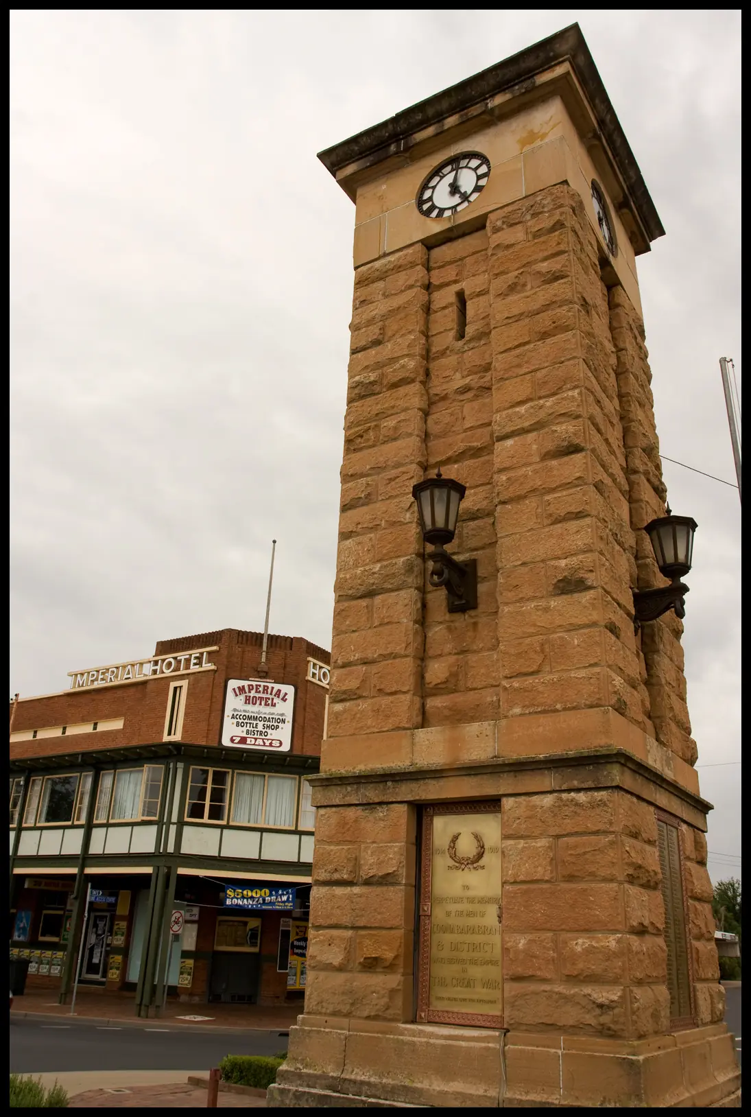
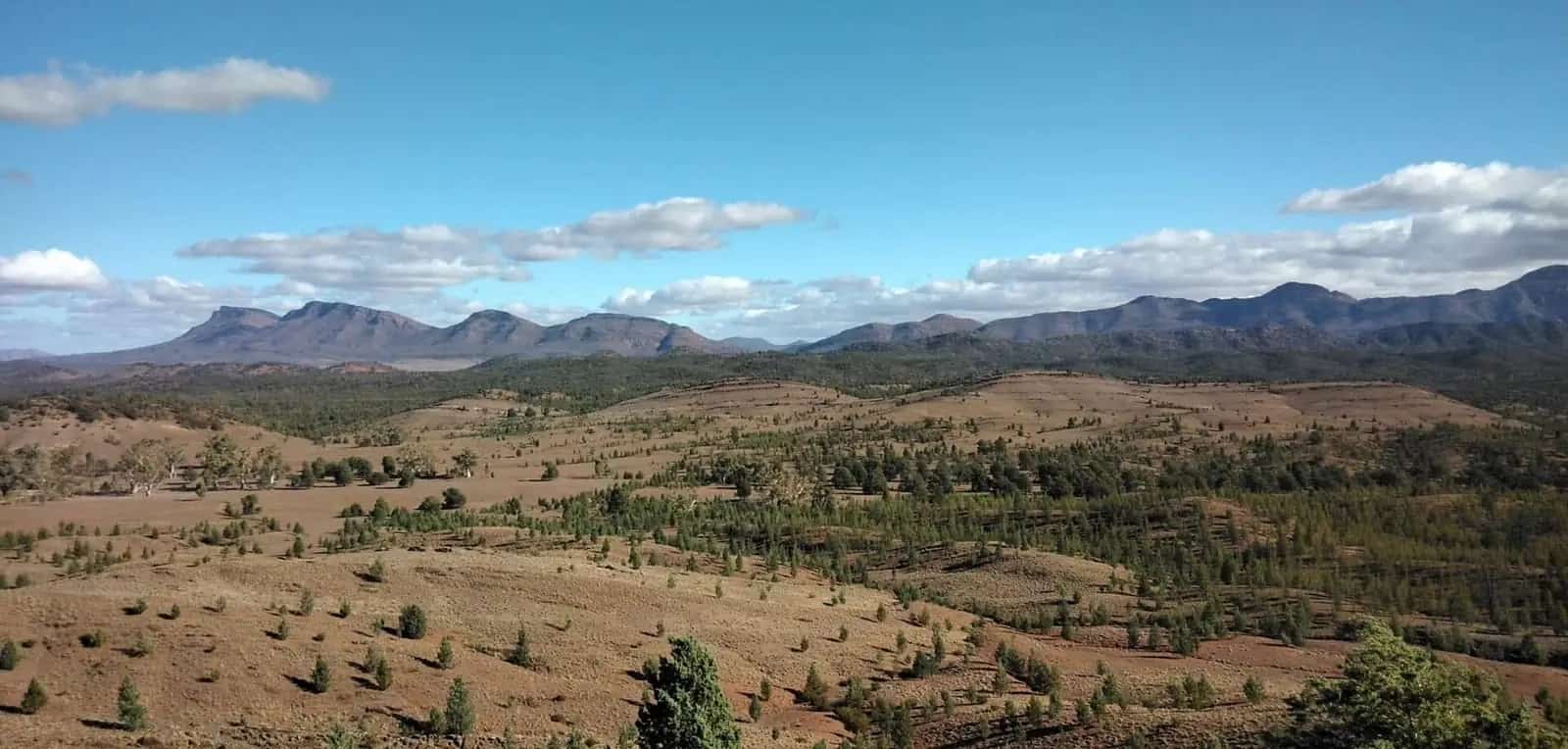
All climate figures on this page come from the Bureau of Meteorology climate statistics for Coonabarabran Airport AWS, station number 064017, as published on the averages table (product date on the BOM page: 14 November 2026 when this research was copied). We do not invent monthly rainfall breakdowns that are not in our notes, and we do not mix this station with a different Coonabarabran site.
Station facts:
- Commenced 2001
- Latitude 31.33°S, longitude 149.27°E
- Elevation 645 m
- Mean annual rainfall 703.8 mm (23 years, 2001–2026)
- Hottest month by mean maximum: January 31.2°C
- Coolest month by mean maximum: July 14.2°C
Read the live table: BOM Coonabarabran Airport AWS. Means shift as extra years are added.
The Coonabarabran town guide is the hub. For walking and camping decisions see things to do and caravan parks.
How this compares with towns further west
Seven hundred millimetres a year is a lot wetter than Nyngan (Nyngan Airport mean 445.6 mm) and far wetter than the far-west desert stations. January’s 31.2°C mean maximum is hot, but it is not the 34-plus mean maximum of Moree Aero or Nyngan Airport. Elevation is the simple reason: 645 m at the airport AWS, on the fall of the Warrumbungle Range, versus a couple of hundred metres on the plains.
That mix — inland heat in summer, real winter cold at night in the park, and enough rain to close clay side roads — is what you plan around. It is still “inland NSW”, not a tropical wet season and not alpine snow country.
Summer
January is the hottest month on the mean-maximum series. Day walks on exposed rhyolite in Warrumbungle National Park need water, a hat and an early start. Fire danger can close the park; that decision is NPWS, not this page. Check park alerts and Live Traffic NSW the morning you drive the John Renshaw Parkway.
Siding Spring day visits (8:30am–4:00pm) still run in summer on the observatory’s published hours unless the visitor page says otherwise — confirm there. Caravans stay off the mountain road in every season.
For heat illness, driving hours and how inland towns actually feel in January, see outback summer heat. Coonabarabran is milder than Channel Country, but a van on the Newell at 3pm is still a hot box.
Winter
July’s mean maximum of 14.2°C is the coolest in the airport series. That is a cool day, not a polar one, and it is why winter is popular for walking and astronomy. The catch is the night. NSW National Parks states that winter nights in the park can drop below freezing. A motel in town and a tent at Camp Blackman are different climates after dark.
Short days mean you should not stack a long park walk and a late run back to the Newell. Frost on the park road is possible; drive to the conditions.
Winter is also when Dark Sky camping is most attractive: long nights, cooler air, less haze. Pack as if you will get a frost, because NPWS says you might.
Rain and the 704 mm year
The 703.8 mm annual mean is a 23-year figure from 2001 to 2026. It tells you Coonabarabran is not a desert town. After rain, the Newell can still be open while unsealed access tracks and some park surfaces are not. We do not have a sourced wettest-month figure in the Wave 1 notes, so we do not guess one. Use the BOM table for month-by-month rainfall, and use NPWS plus Live Traffic NSW for whether you can actually get into the range.
Carry a wet-weather plan: a town bed, not a low-lying unbooked camp, if storms are forecast.
When to go
There is no single official “best month” sentence on the visitor pages used here. From the BOM means and NPWS frost note:
- Autumn and spring — most comfortable for park walking (between the January heat and the July frost)
- Winter — best for long nights and astronomy, with freezing park nights and 14.2°C July days
- Summer — usable if you walk early, watch fire danger, and treat January’s 31.2°C mean maximum as a heat plan, not a surprise
School holidays overlay all of that. Book accommodation ahead rather than reading a climate table as a vacancy forecast.
See also outback weather by month and best time to visit.
What weather does not change
- Park entry process and the $8-per-vehicle figure belong on the NPWS page; confirm them regardless of season.
- Siding Spring remains a day facility; it is not open at night for public viewing in winter either.
- Highway freight does not stop for a pretty frost. Drive the Newell as a truck route in every month.
Population 2,387 (2021 UCL) does not change with the weather either; it is here so this page’s sources include the Census QuickStats used across the Coonabarabran set: ABS UCL115043.
Plan this trip
Tell us the dates, who you are travelling with and where you need help. We reply with planning notes for Coonabarabran — we are not a booking agent.
Frequently asked questions
What is Coonabarabran’s climate?
Bureau of Meteorology averages for Coonabarabran Airport AWS (064017) show a mean annual rainfall of 703.8 mm, a January mean maximum of 31.2°C and a July mean maximum of 14.2°C.
When is the hottest month?
January, with a mean maximum of 31.2°C at Coonabarabran Airport AWS.
Does it freeze in the Warrumbungles?
NSW National Parks notes that winter nights in Warrumbungle National Park can drop below freezing. July is the coolest month by mean maximum in the airport record (14.2°C).
Sources and further reading
Facts on this page were checked against these primary and official sources. Conditions change — confirm before you travel or buy.
- Climate statistics for Coonabarabran Airport AWS (064017) — Bureau of Meteorology
- Coonabarabran (2021 Census QuickStats, UCL115043) — Australian Bureau of Statistics
- Warrumbungle National Park — visitor info — NSW National Parks and Wildlife Service
- Live Traffic NSW — Transport for NSW