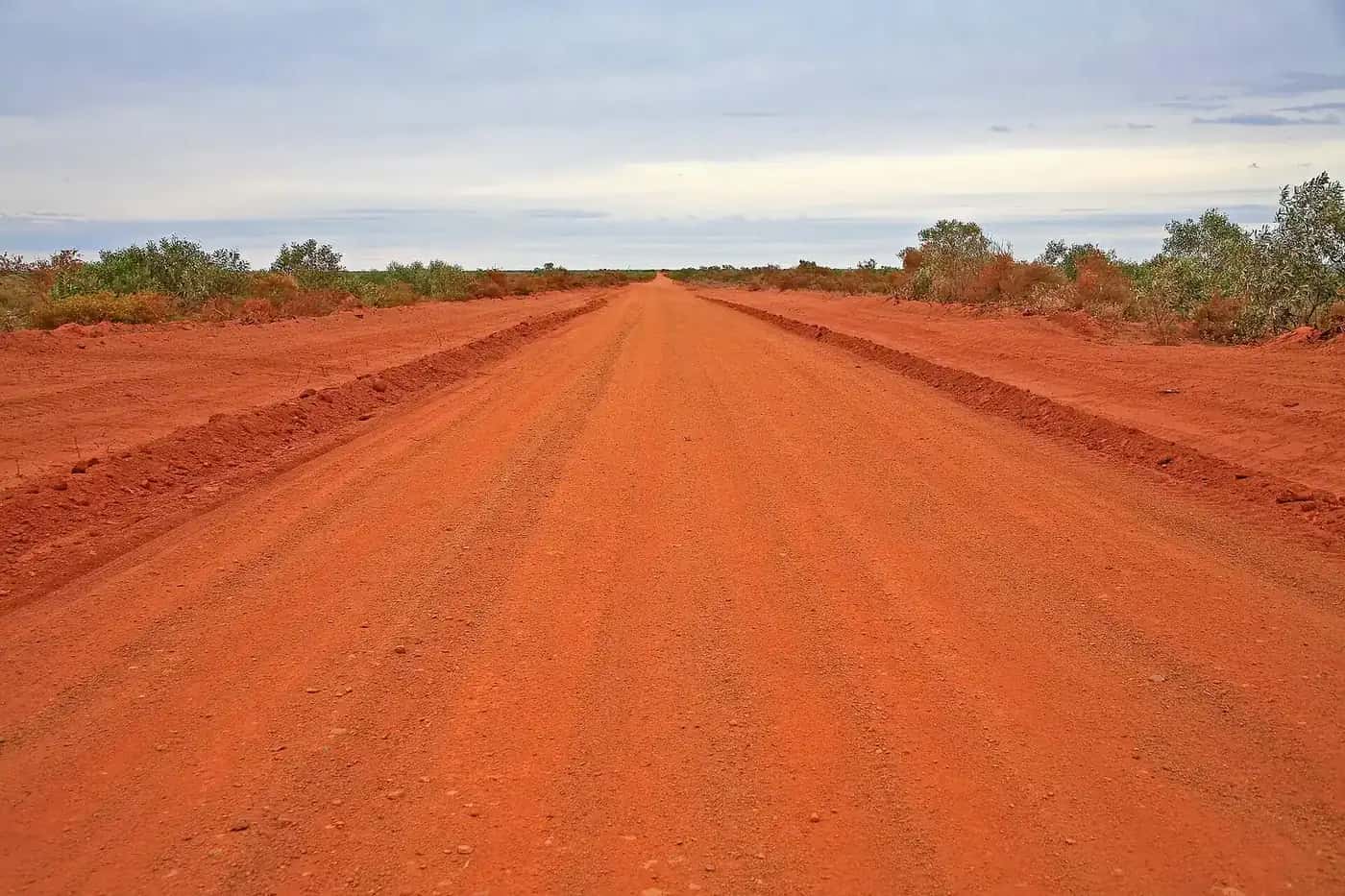
On the original Outback Now directory, Explorer Country covered the inland New South Wales country west of the ranges where the Newell and Oxley highways meet — Dubbo as the regional city, Coonabarabran as the astronomy town, and the volcanic Warrumbungle Range between them. Destination NSW no longer uses the Explorer Country label. It files Dubbo under the Greater Western Plains and Coonabarabran under the Warrumbungle area. The geography has not moved: this is still the sealed-road step between Sydney and outback NSW.
Why it matters on an outback trip
Most Sydney–Bourke or Sydney–Broken Hill drives pass this way. Dubbo is the last large service city with a full airport, hospital, supermarkets and a long choice of motels before the Mitchell Highway thins toward Nyngan and Cobar. Coonabarabran sits on the Newell, the inland route between Victoria and Queensland, so Melbourne–Brisbane travellers cross the same country. It is also worth a stay in its own right: NSW National Parks calls Warrumbungle National Park Australia’s first Dark Sky Park, and the Australian National University runs Siding Spring Observatory on the range.
Dubbo as a gateway city
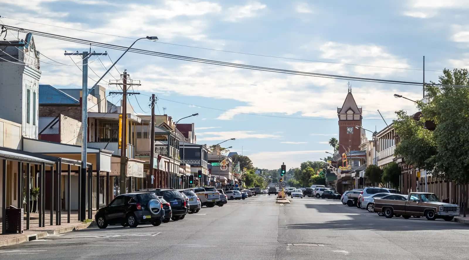
Destination NSW brands Dubbo as the City of Smiles and the hub of the Great Western Plains. The main family draw it names is Taronga Western Plains Zoo. The same pages point to limestone caves around Wellington, Lake Burrendong, and stargazing once you leave the city lights. Dubbo Airport is the usual fly-drive door for the Warrumbungles: Destination NSW and Bogan Shire both describe Nyngan as about a two-hour drive west of that airport, and Destination NSW puts Coonabarabran about two hours north-east.
The Dubbo town guide is now live. Use it with Destination NSW’s Dubbo and the Great Western Plains pages, then continue west into outback NSW or north to Coonabarabran. Fuel, parts and groceries are straightforward in Dubbo; they are not, in the same way, once you are beyond Nyngan. Bathurst and Gulgong are the other Explorer Country hubs on this rebuild.
Coonabarabran and the Warrumbungles
Coonabarabran is the town closest to the wilderness. Warrumbungle Shire’s thematic history places the shire at the meeting of Gamilaraay (north-east), Wiradjuri (south) and Wayilwan (west) Country; Coonabarabran sits on the Gamilaraay side of that description. Destination NSW and Warrumbungle Region tourism market the town as the astronomy capital of Australia.
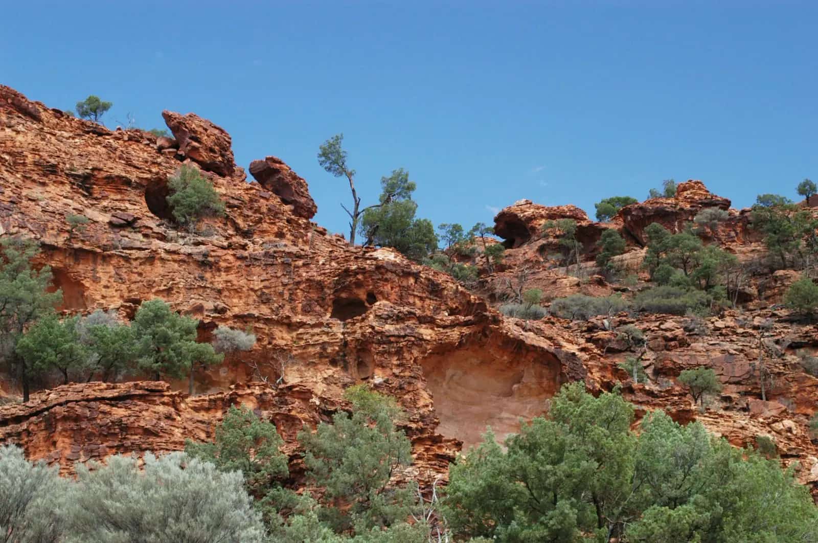
The range itself is the eroded remnant of an extinct shield volcano. NSW National Parks’ signature landmark is the Breadknife, a rhyolite dyke that towers 90 metres above the valley floor. The Breadknife and Grand High Tops walk is listed among the state’s best day walks. Campgrounds and walking tracks were rebuilt after the 2013 wildfires; drop into the Warrumbungle Visitor Centre on John Renshaw Parkway for current track notes and a star chart. A park entry fee applies; confirm it on the NPWS page before you go.
Destination NSW also lists a 70 km Coonabarabran–Warrumbungle–Tooraweenah scenic drive through Timor Valley, Timor Rock, Whitegum lookout and Canyon picnic area. Tooraweenah is the southern gateway village on the other side of the park.
Siding Spring Observatory
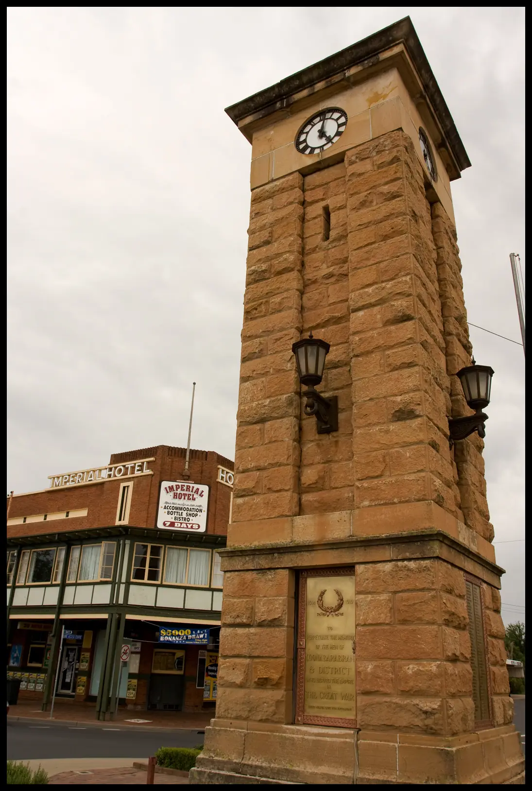
Siding Spring, about 28 km west of the Coonabarabran town clock on ANU figures (27 km on the observatory’s own visitor page), is Australia’s premier optical astronomy research facility. Day visits are the public offering; the working telescopes are not a night-time public observatory. The visitor page is explicit that caravans are not allowed on the mountain road. If you want a night sky under the Dark Sky Park rules, camp in the national park or join a local night operator listed on the observatory and Destination NSW pages — do not expect to walk into the dome after dark.
The International Dark-Sky Association designation for Warrumbungle National Park dates from 2016 on Destination NSW’s Coonabarabran page. High altitude, low humidity and little artificial light are the physical reasons the ANU put the telescopes here. See our stargazing and dark skies guide for how to observe without wrecking other people’s night vision.
Other places Destination NSW names
The Coonabarabran Visitor Information Centre on the Newell Highway houses the Australian Museum Diprotodon Exhibition — a free display of the giant marsupial found nearby at Cox’s Creek, on Warrumbungle Region and Destination NSW listings. North-east of town, Destination NSW points to the Pilliga forest complex (Pilliga Nature Reserve, Timmallallie National Park and adjoining state conservation areas) and the Sandstone Caves on Gamilaraay Country. Coonamble, north-west, is listed for its Nickname Hall of Fame street portraits and a large June long-weekend rodeo and campdraft; Gulargambone sits on the same Castlereagh Highway. Rankins Springs is the Mid-Western Highway Explorer Country locality with a full guide. West Wyalong is the Bland Shire Newell Highway town (not Griffith). Condobolin and Lake Cargelligo are the Lachlan Shire neighbours on this rebuild. Gilgandra, south of the range, is noted for windmills and First World War history and does not yet have a town page here.
Getting there and getting around
Coonabarabran sits at the Newell Highway and Oxley Highway junction. From Sydney, ANU gives about 500 km; Destination NSW gives about six hours’ driving. From Dubbo, plan around two hours. Tamworth is also described as about two hours by Warrumbungle Region tourism, without a published kilometre figure on that page. Fly to Dubbo and hire a car if you want to skip the Newell truck traffic.
Check Live Traffic NSW for Newell Highway incidents, harvest-season road trains and park-road closures on extreme fire-danger days. NSW National Parks notes the park may close in poor weather or fire danger. See road trains and outback summer heat.
When to go
Coonabarabran is higher and greener than the Barrier Highway. BOM’s Coonabarabran Airport record still shows a hot January (mean max 31.2°C) and a cool July (mean max 14.2°C), with about 704 mm of rain a year — wetter than Nyngan or Broken Hill. Winter walking in the Warrumbungles means frost and short days; summer means fire risk and heat on exposed rhyolite. Autumn and spring suit the Grand High Tops. After rain the range is at its greenest, but clay side roads can close.
Linking into a longer NSW trip
A natural corridor is Sydney or Canberra to Dubbo, a night or two for the zoo and supplies, Coonabarabran for the park and Siding Spring, then west on the Newell and Mitchell toward Nyngan, Bourke or Cobar. The Castlereagh Highway from this belt also leads toward Walgett and Lightning Ridge. South-east, the Newell continues toward the Riverina. For the far west, use the outback NSW hub and the outback NSW road trip.
Start at the Coonabarabran Visitor Information Centre on the Newell, or at Dubbo’s accredited centre, for current opening hours. Park notes come from the Warrumbungle Visitor Centre inside the national park.
Towns in this region
Explorer Country
Coonabarabran
Coonabarabran travel guide: Warrumbungle National Park, Siding Spring Observatory, the Astronomy Capital of Australia, and how to get there on the Newell Highway.
Read · 10 min
New South Wales · Explorer Country
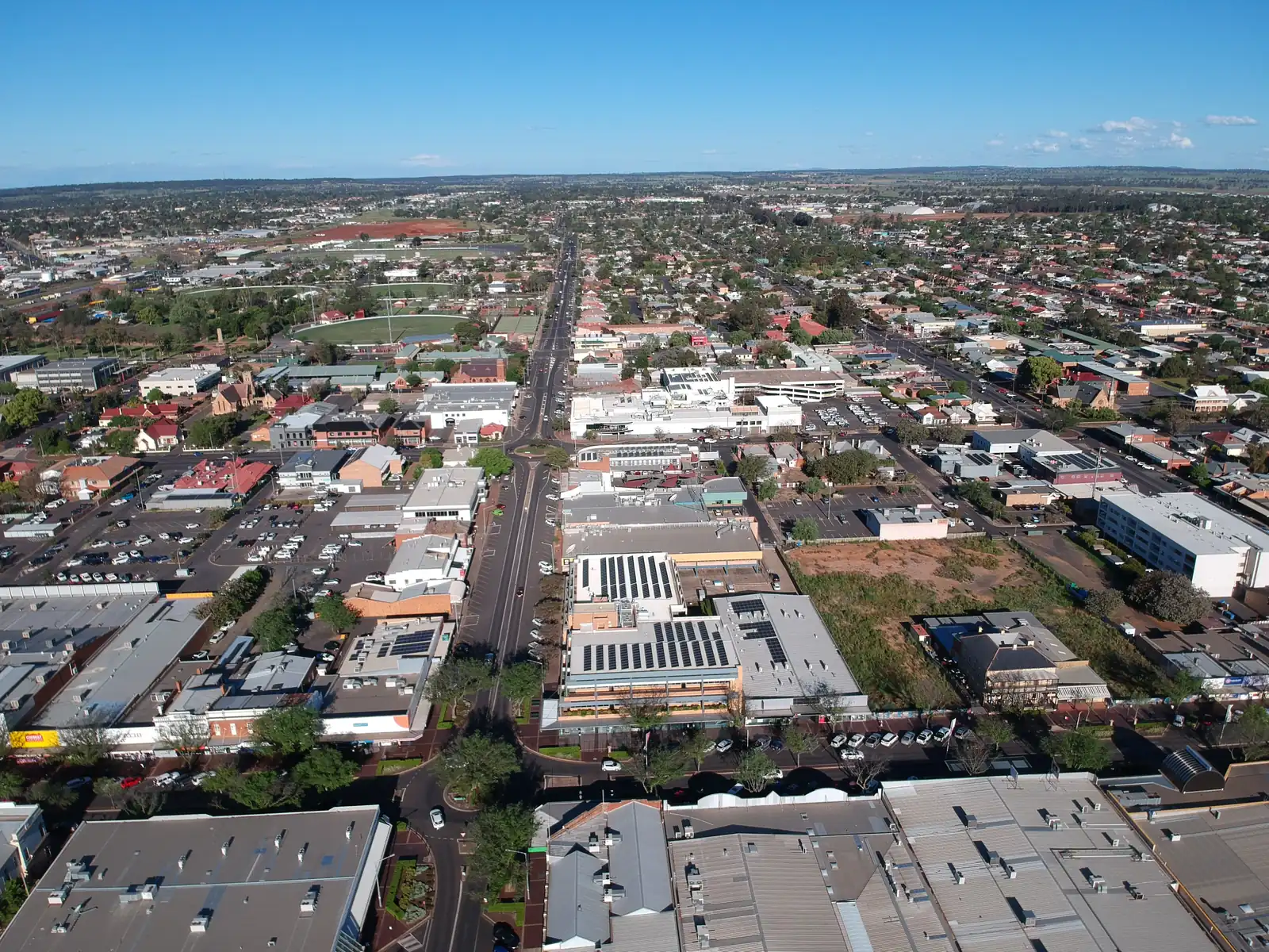
Dubbo
Dubbo travel guide: Macquarie River gateway on the Newell, Mitchell and Golden highways, Taronga Western Plains Zoo, visitor centre, stays and sealed-road access west.
Read · 9 min
New South Wales · Explorer Country
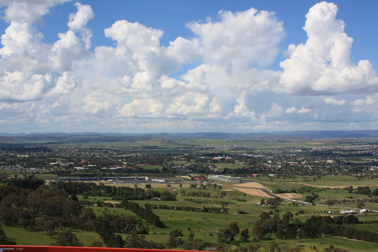
Bathurst
Bathurst travel guide: Macquarie River gateway on the Central Tablelands, Mount Panorama/Wahluu, visitor centre at 1 Kendall Avenue, stays and sealed-road access inland.
Read · 8 min
New South Wales · Explorer Country
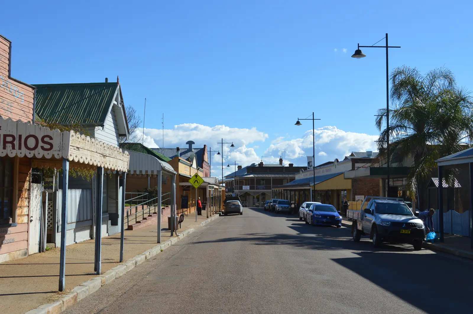
Gulgong
Gulgong travel guide: 1870s gold town on Wiradjuri Country, Pioneers Museum, Henry Lawson Centre, Holtermann photographs, stays and sealed access from Dubbo.
Read · 7 min
New South Wales · Explorer Country
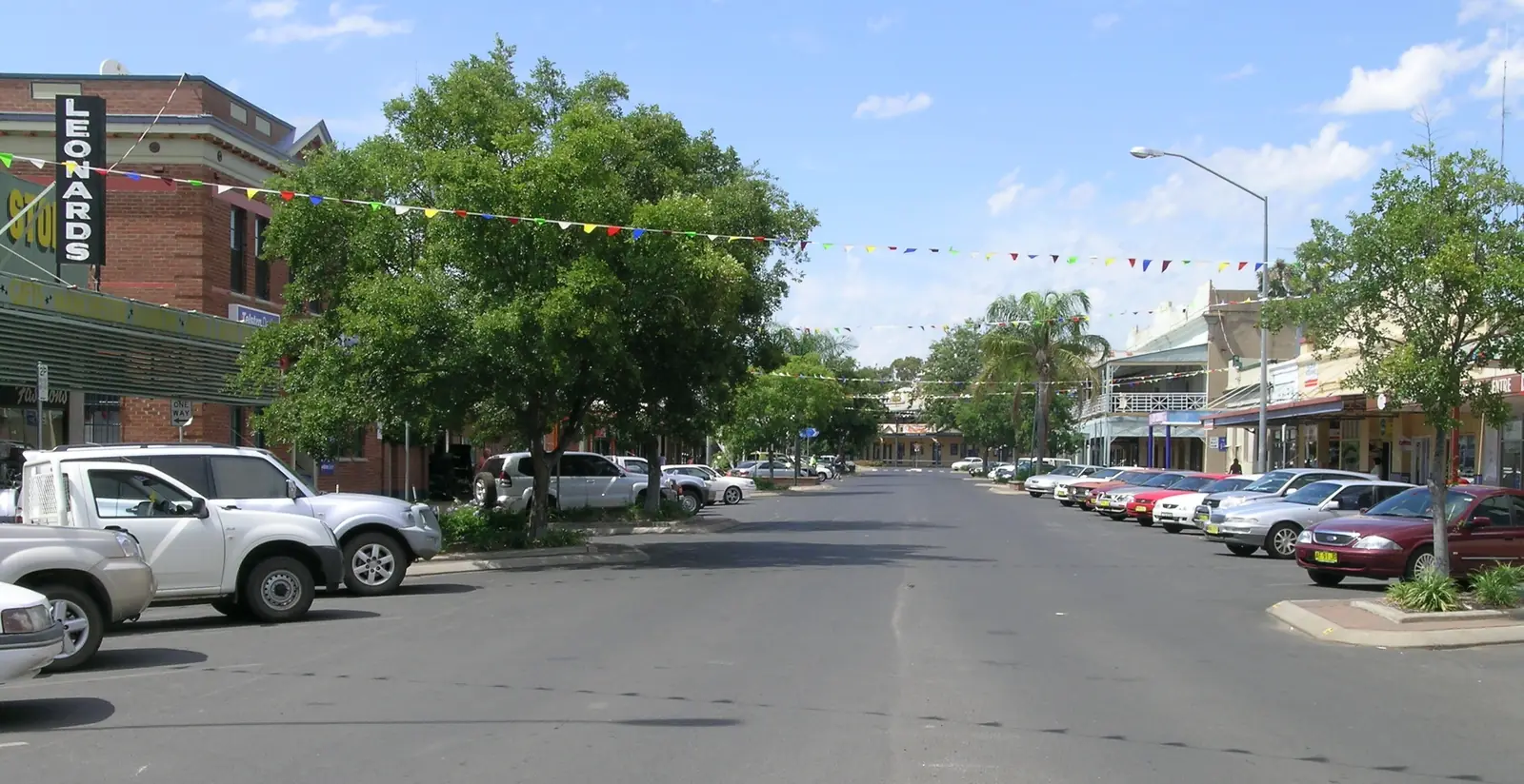
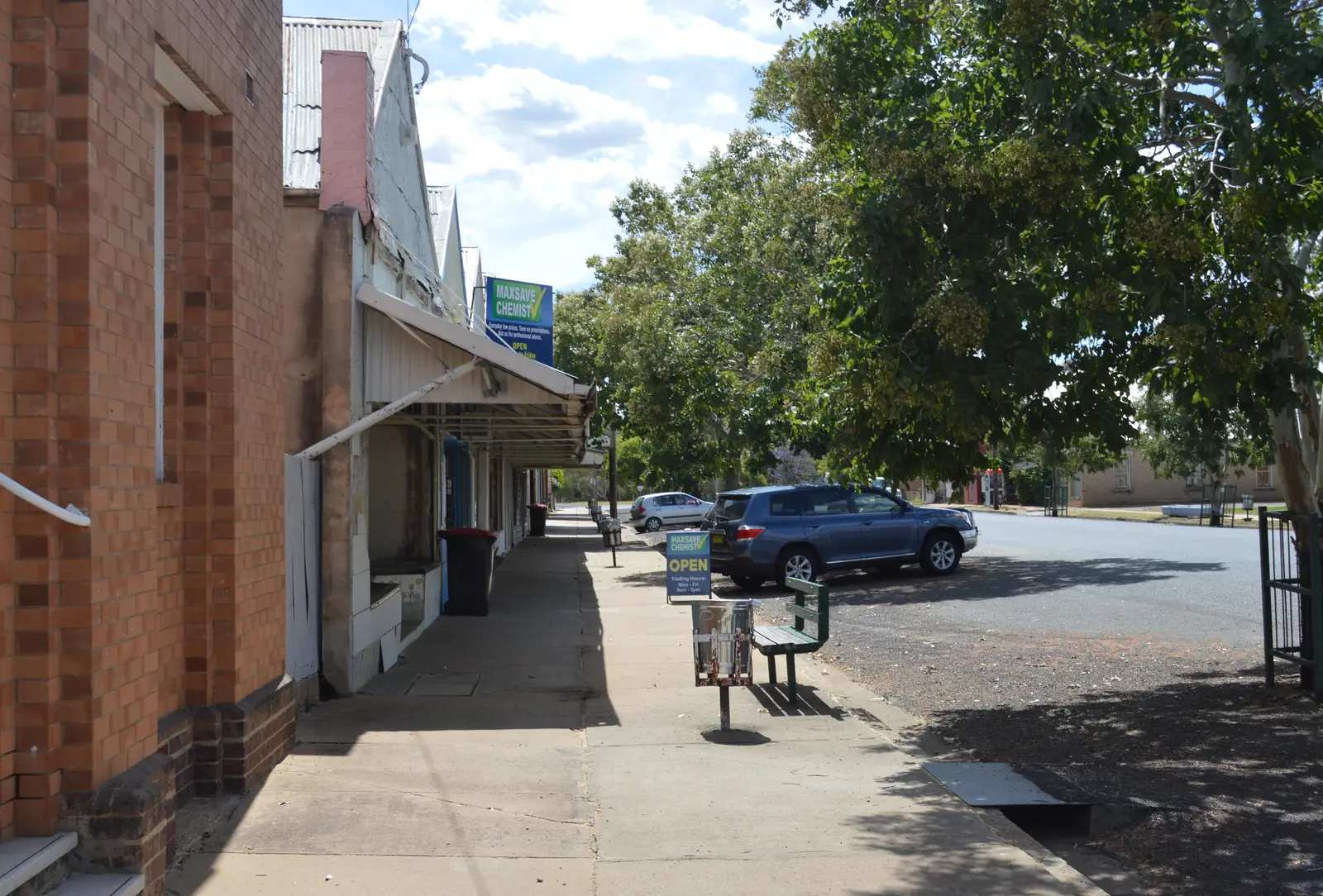
Coonamble
Coonamble travel guide: Coonamble Shire town on the Castlereagh River — water tower mural, Museum Under the Bridge, June rodeo, Macquarie Marshes and Warrumbungle gateway. ABS 2021 and BOM Coonamble Airport.
Read · 9 min
New South Wales · Explorer Country
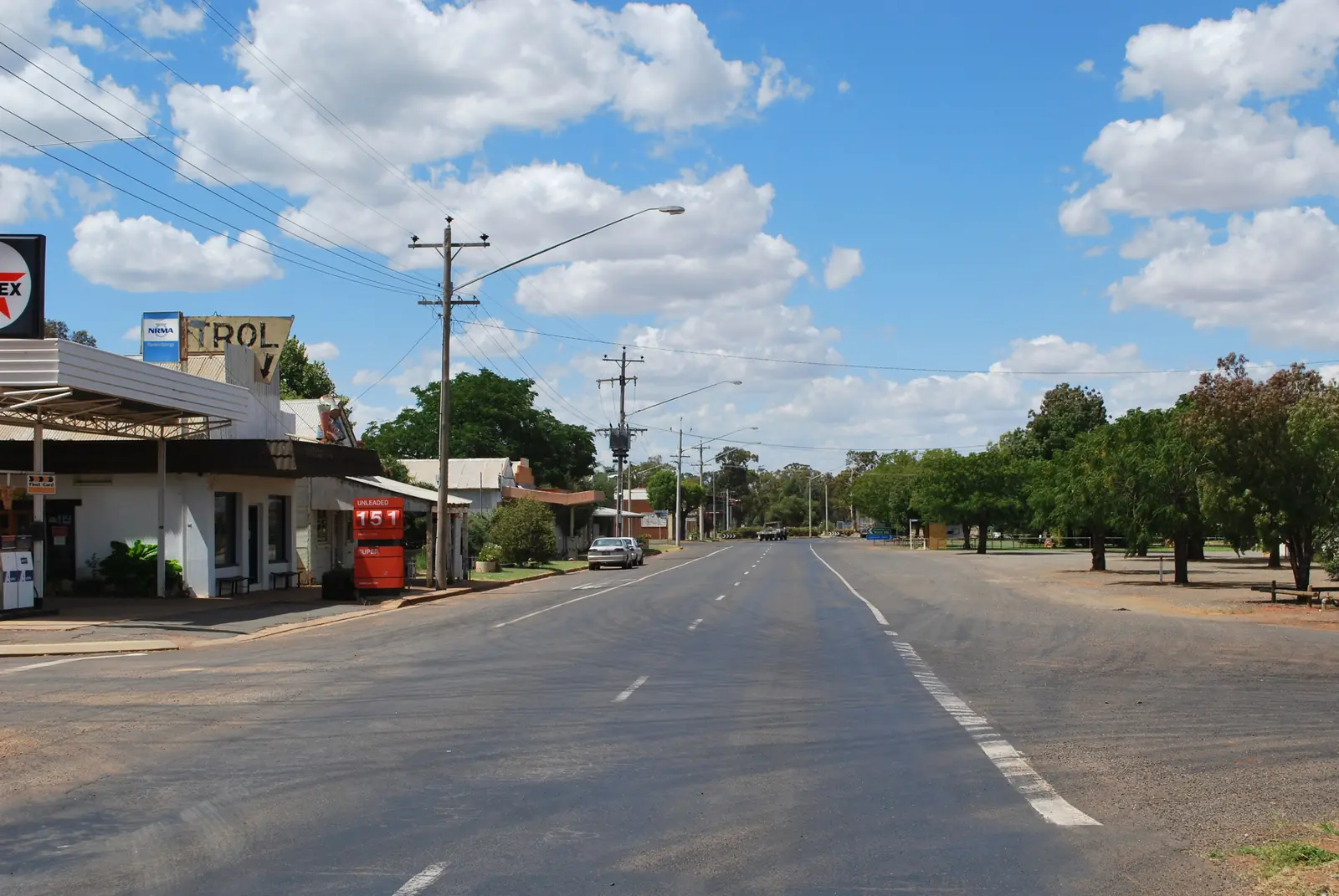
Gulargambone
Gulargambone travel guide: Coonamble Shire village 115 km north of Dubbo — watering hole for many galahs, corrugated-iron sculptures, community-owned post office, hotel and caravan park. ABS 2021 UCL122064.
Read · 7 min
New South Wales · Explorer Country
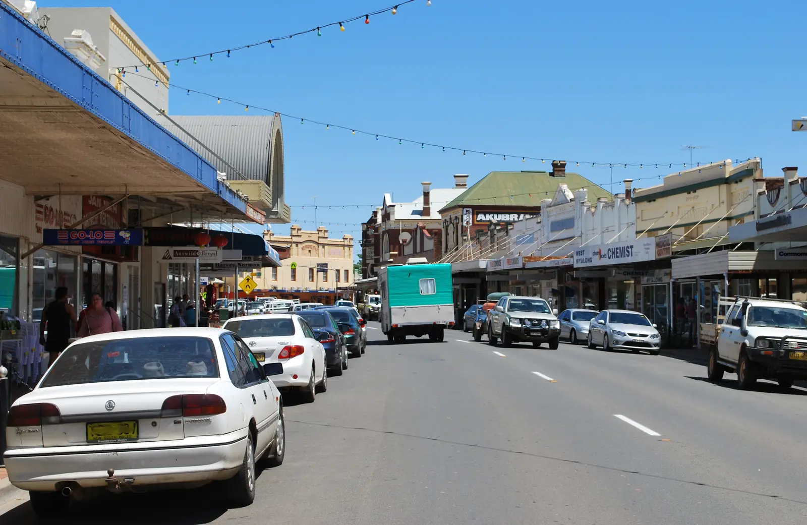
Rankins Springs
Rankins Springs travel guide: Carrathool Shire village on the Mid Western Highway — seven bird hides, Wally’s Junk Art Gallery, Resilience Sculpture, council caravan park and motel. ABS 2021 SAL13329.
Read · 7 min
New South Wales · Explorer Country
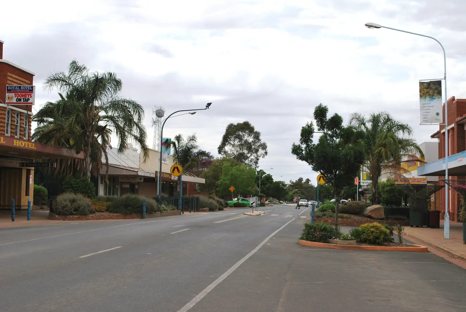
West Wyalong
West Wyalong travel guide: Bland Shire town at the Newell and Mid-Western Highway crossroads — Crooked Mile, True Blue poppet head, visitor centre, stays and BOM West Wyalong Airport AWS. Not a Griffith page, not a second Wyalong hub.
Read · 9 min
New South Wales · Explorer Country
Condobolin
Condobolin travel guide: Lachlan Shire town on the Lachlan River — Gum Bend Lake, Utes in the Paddock, Wiradjuri Study Centre, Riverview Caravan Park and BOM Condobolin Airport AWS. Neighbour Lake Cargelligo.
Read · 8 min
New South Wales · Explorer Country
Lake Cargelligo
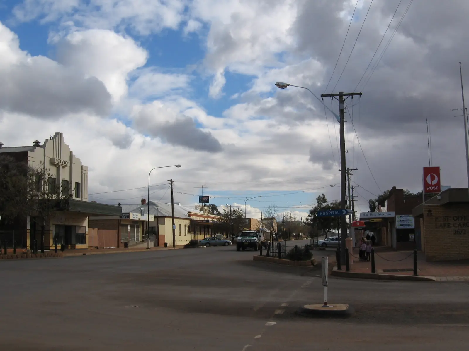
Lake Cargelligo travel guide: Lachlan Shire lake town — 1,440-hectare inland lake, foreshore track, visitor centre gem collection, Lakeview Caravan Park and BOM Lake Cargelligo Airport. Neighbour Condobolin.
Read · 7 min
New South Wales · Explorer Country
Tottenham
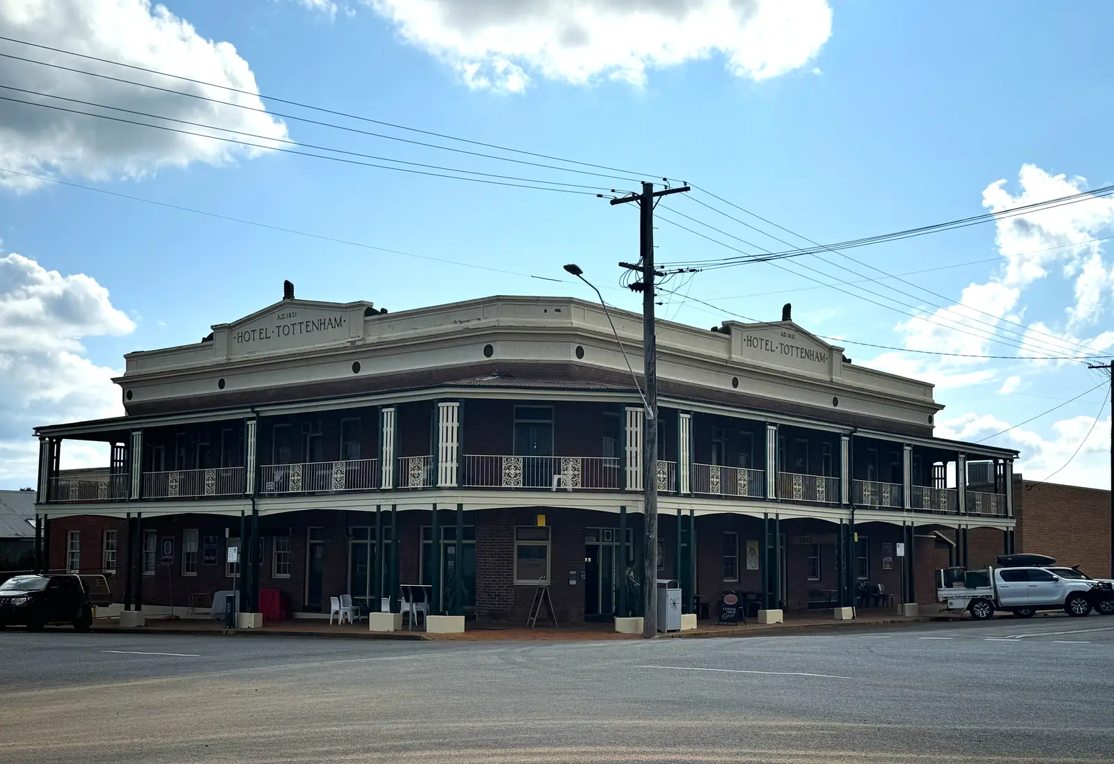
Tottenham travel guide: Lachlan Shire town 132 km north of Condobolin, 41 km from the Centre of NSW cairn. ABS 2021 SAL13941: 451 people. Not Tottenham London. Nearby BOM Condobolin Airport AWS.
Read · 7 min
Frequently asked questions
What is Explorer Country?
Explorer Country is the name used on the original Outback Now town directory for inland NSW around Dubbo, Coonabarabran and the Warrumbungles. Destination NSW now publishes much of this country as the Greater Western Plains (Dubbo) and the Warrumbungle area. Both sit on sealed highways between Sydney and outback NSW.
How far is Coonabarabran from Sydney?
The Australian National University’s Siding Spring pages give about 500 km north-west of Sydney. Destination NSW describes the drive as about six hours via the Blue Mountains or the Hunter, and about two hours north-east of Dubbo.
Do I need a 4WD for the Warrumbungles?
No, for the main park road. NSW National Parks access to Warrumbungle National Park is via the sealed John Renshaw Parkway (Timor Road). Siding Spring Observatory’s visitor page says caravans must not use the narrow mountain road to the telescopes; park in town or at the designated parking at the bottom.
When is the best weather?
Bureau of Meteorology averages for Coonabarabran Airport AWS (064017) show a January mean maximum of 31.2°C, a July mean maximum of 14.2°C and mean annual rainfall of 703.8 mm. NSW National Parks notes that winter nights in the park can drop below freezing. Autumn and spring are the most comfortable for walking.
What is Coonabarabran’s population?
2,387 people at the 2021 Census (ABS Urban Centre and Locality UCL115043). The larger suburb/locality figure is 3,477 (SAL11043) and should not be mixed with the town UCL.
Sources and further reading
Facts on this page were checked against these primary and official sources. Conditions change — confirm before you travel or buy.
- Warrumbungle area — Destination NSW
- Coonabarabran — Destination NSW
- Dubbo and the Great Western Plains — Destination NSW
- Warrumbungle National Park — NSW National Parks and Wildlife Service
- Siding Spring Observatory — how to get here — Australian National University
- Siding Spring Observatory visitors — Siding Spring Observatory
- Climate statistics for Coonabarabran Airport AWS (064017) — Bureau of Meteorology
- Coonabarabran (2021 Census QuickStats, UCL115043) — Australian Bureau of Statistics
- Live Traffic NSW — Transport for NSW