At a glance
Sourced facts only. Distances and services change — confirm before you travel.
- Population
- 1,149 people (UCL115081, 2021 Census)
- Local government
- Carrathool Shire
- Traditional Owners
- Ngiyampaa people named by Carrathool Shire for Willandra CreekThat is a park-and-creek sentence, not a High Street acknowledgement. Confirm a townsite wording at Red Dust & Paddy Melons Gallery.
- Nearest regional city
- Griffith City Airport then about 75 minutes (Destination NSW). A Hillston–Griffith kilometre is not printed on that page.
- Capital
- 7.5 hours’ drive from Sydney and 6.5 hours from Melbourne (Destination NSW). Kilometres to those capitals are not printed on that page.
- Nearest fuel
- Service town — confirm bowsers in Hillston; this guide does not name a brand
- Mobile coverage
- Check Telstra and Optus coverage maps before travel; do not assume a signal on the Willandra access road.
- Best time to visit
- April–May and August fishing festival window (council). Cooler BOM Hillston Airport mean maxima May–September. Council opens the swimming pool November to March.
Climate
Monthly means from the Bureau of Meteorology station Hillston Airport (075032). This is not a forecast. Closed 8 October 2025. Town station on the weather subpage — copied here rather than a farther open alternative. Commenced 1881. Elevation 122 m. Temperature maxima 93 years (1907–2025); rainfall 135 years (1881–2025). Forecasts still come from the Bureau.
| Month | Mean max (°C) | Mean min (°C) | Rainfall (mm) |
|---|---|---|---|
| Jan | 33.6 | 18.5 | 31.8 |
| Feb | 32.9 | 18.3 | 26.9 |
| Mar | 29.4 | 15.2 | 33.3 |
| Apr | 24.4 | 10.6 | 27.9 |
| May | 19.4 | 7.3 | 32.9 |
| Jun | 15.8 | 4.8 | 35.1 |
| Jul | 15.1 | 3.8 | 30.3 |
| Aug | 17.2 | 4.9 | 30.6 |
| Sep | 20.9 | 7.1 | 28.7 |
| Oct | 24.8 | 10.4 | 36.1 |
| Nov | 28.6 | 13.8 | 30.8 |
| Dec | 31.7 | 16.4 | 30.2 |
Hillston in pictures
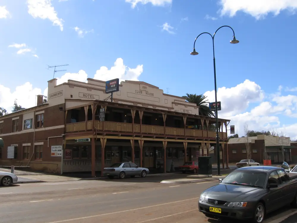
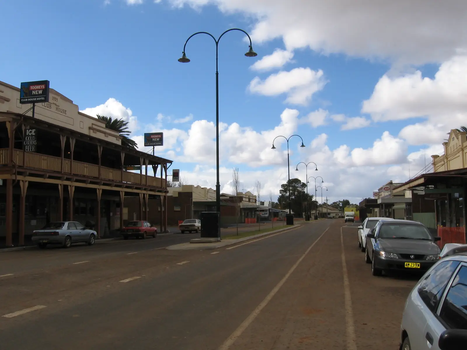
Hillston Club House HotelPhoto: Mattinbgn · CC BY-SA 3.0 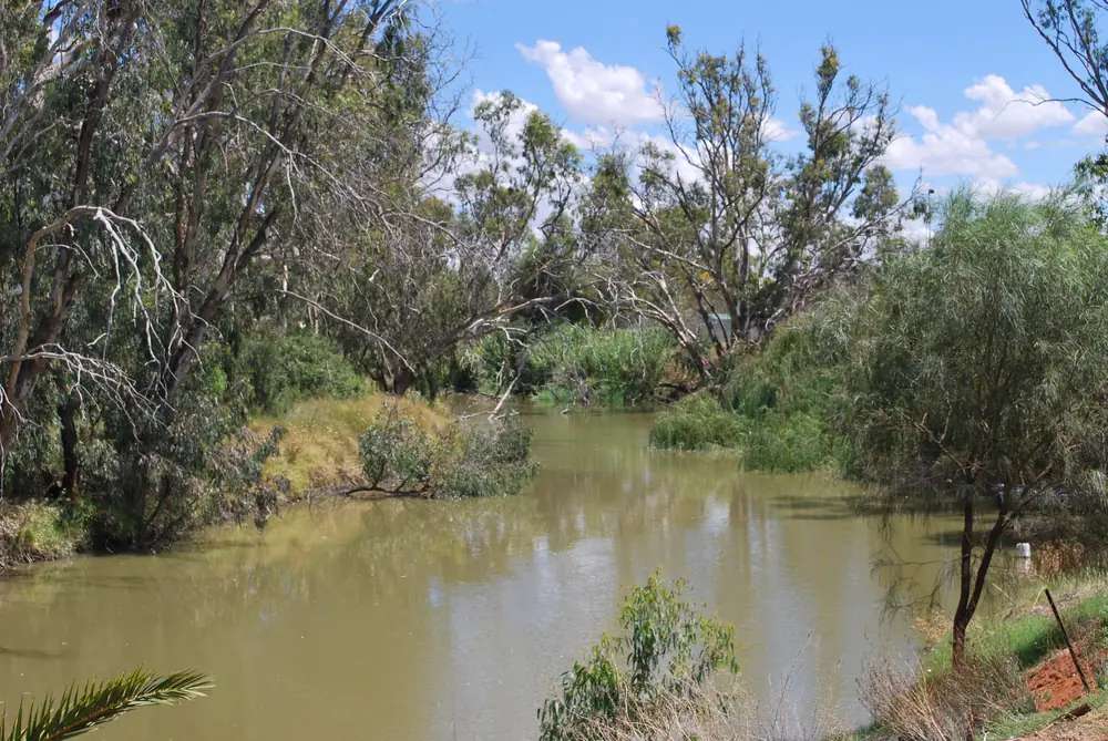
The Lachlan River at HillstonPhoto: Mattinbgn (talk · contribs) · CC BY 3.0 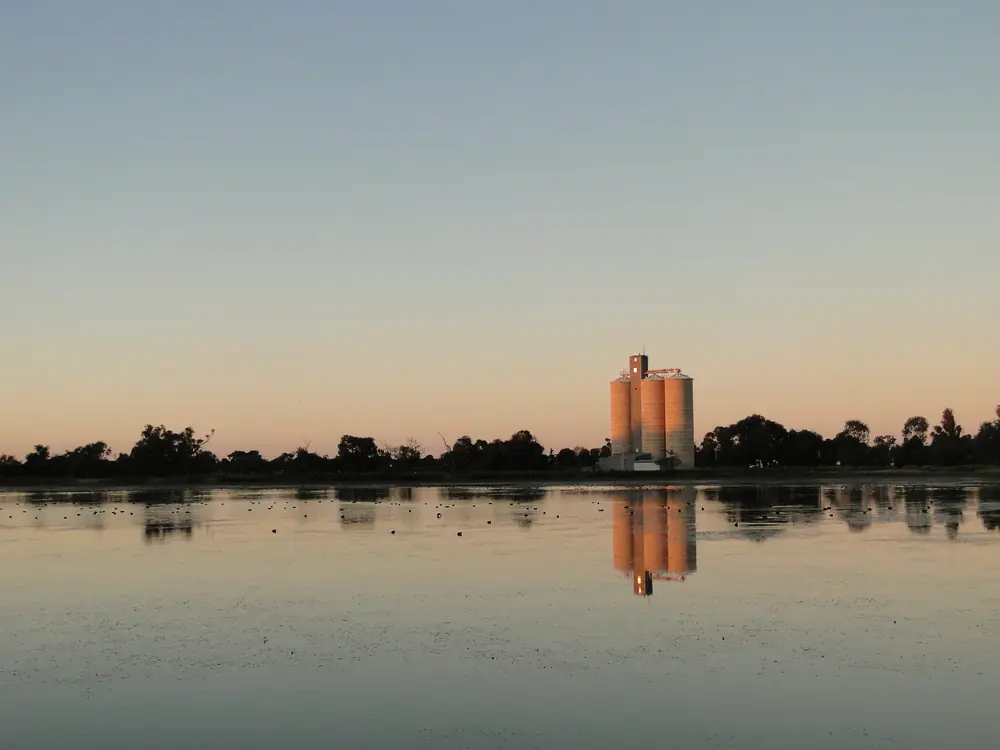
Hillston grain siloPhoto: Peterdownunder · CC BY-SA 4.0 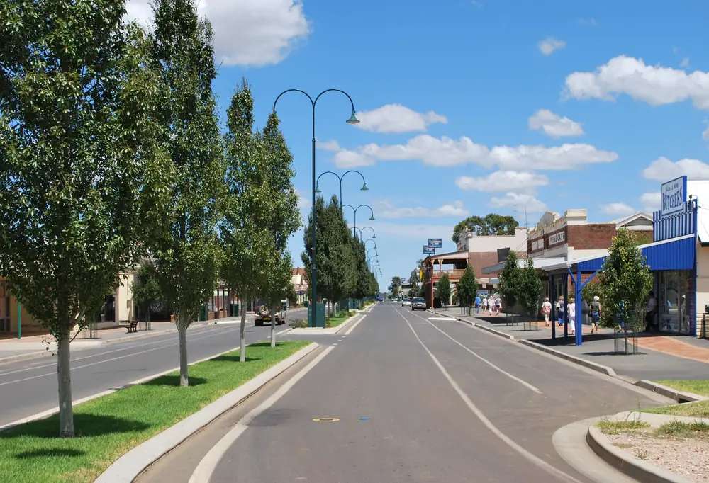
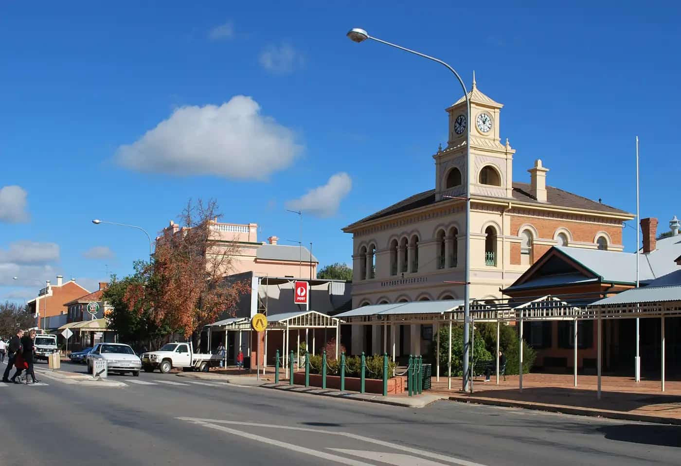
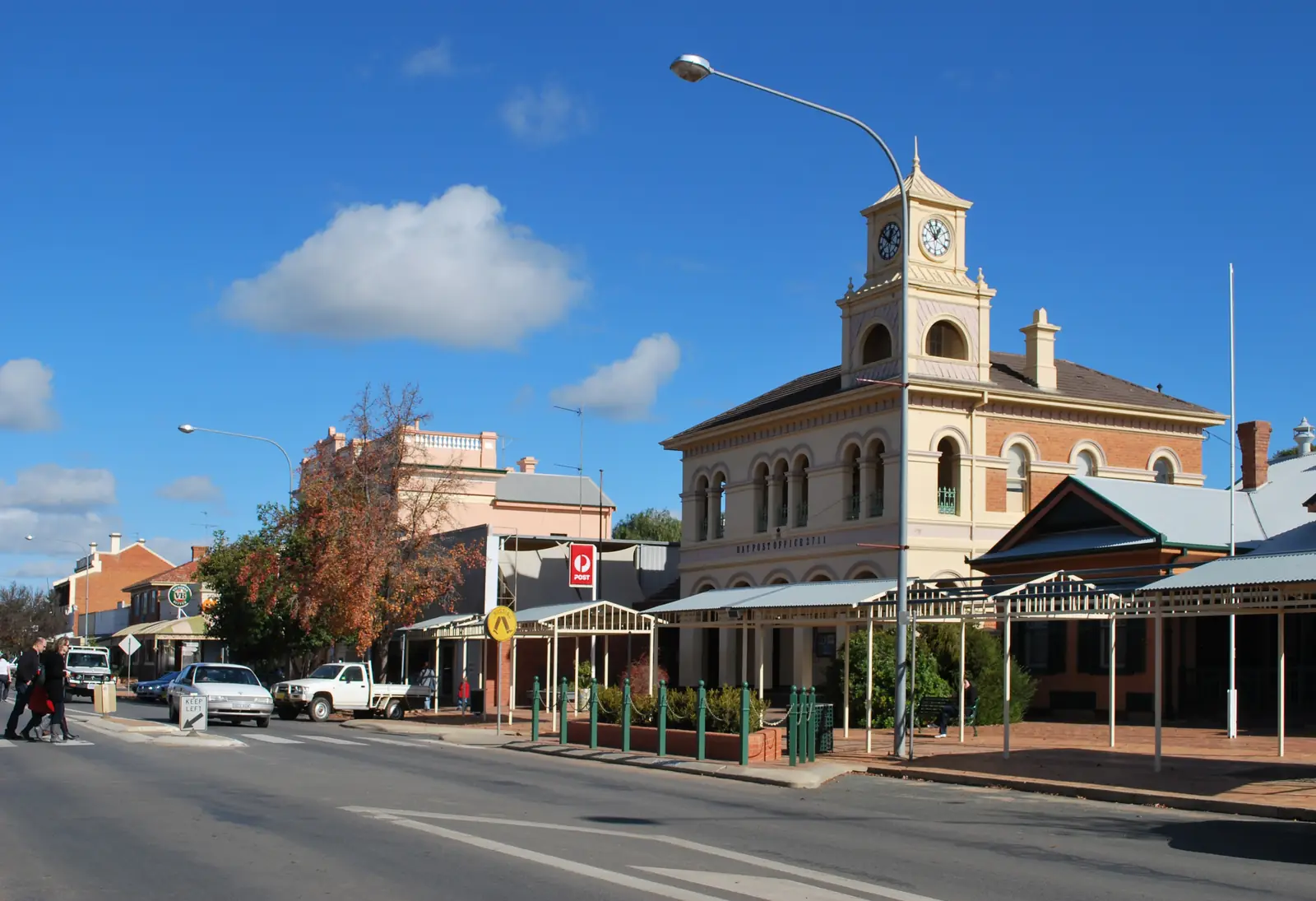
High Street in HillstonPhoto: Mattinbgn (talk · contribs) · CC BY 3.0
Hillston sits on the Lachlan River in the western Riverina, on the Kidman Way. Destination NSW calls it a small town with country swagger and an important stop on that touring route. Carrathool Shire’s visitor page is the local inventory: a High Street gallery that doubles as the visitor centre, Lake Woorabinda, the swinging bridge, riverside camping and Willandra National Park 64 km out. On this site the plains neighbour is Hay. Hillston is irrigation and river country at the outback edge, not a far-west desert town.
The 2021 Census counted 1,149 people in the Hillston urban centre (UCL115081). Median age 37. Sex split 49.3% male / 50.7% female. Read the ABS QuickStats page.
Where it is, and how far
Destination NSW puts Hillston at 7.5 hours from Sydney and 6.5 hours from Melbourne, or fly to Griffith City Airport and drive about 75 minutes. Exact road kilometres to Sydney are not on that page, so this guide does not invent them.
The Kidman Way is the inland touring spine Visit NSW names, linking country from the south toward Barringun in the north through Bourke. Hillston is a river town on that line. The Lachlan is the water that made closer settlement possible after explorer John Oxley’s 1817 visit — council quotes Oxley calling the country “uninhabitable” and “useless for all purposes of civilized man,” then records how wrong that assessment proved.
| Place | Official note |
|---|---|
| Sydney | 7.5 hours’ drive (Destination NSW) |
| Melbourne | 6.5 hours’ drive (Destination NSW) |
| Griffith City Airport | About 75 minutes (Destination NSW) |
| Willandra National Park | 64 km from Hillston (Carrathool Shire) |
| Hillston Cotton Gin | 15 km on the Roto Road (Carrathool Shire) |
| Hay | Riverina neighbour on this site; plains and Murrumbidgee, not the Lachlan |
Check Live Traffic NSW after rain on the Lachlan floodplain. Do not drive around closed signs to keep a lake ski day.
Facts at a glance
Population. Australian Bureau of Statistics 2021 Census, Urban Centres and Localities UCL115081: 1,149 people. Families 263. Private dwellings 556. Average household size 2.2. Use the ABS UCL QuickStats.
Climate. Bureau of Meteorology station Hillston Airport (075032). Location 33.49°S, 145.52°E, elevation 122 m. Commenced 1881. Closed 8 October 2025. The table remains the official climate averages page. Annual mean rainfall 374.6 mm over 135 years (1881–2025). Hottest month by mean maximum: January 33.6 °C. Coolest month by mean maximum: July 15.1 °C. Full columns sit on the BOM Hillston Airport table and on Hillston weather. Forecasts still come from the Bureau; this closed airport gauge is the climate story.
Visitor centre. Red Dust & Paddy Melons Gallery on High Street doubles as the Visitor Information Centre (Carrathool Shire and Visit NSW). Council’s Hillston District Office is 139–145 High Street, (02) 6961 7600, weekdays 8.30am–4.15pm. Historical Society Museum is open by appointment — (02) 6967 2305 or 0402 169 730.
Traditional Owners
Carrathool Shire’s Hillston page records that Willandra Creek was an important travel route and food source for the Ngiyampaa people of these western plains. NSW National Parks’ Willandra page is the park authority. This hub uses the council’s Ngiyampaa sentence for the park and creek. It does not flatten the whole townsite to one nation without a council acknowledgement sentence for High Street. Confirm wording at the gallery. Read visiting Country respectfully.
History
Council traces European exploration to John Oxley in 1817, then settlement from the early 1860s. The place was known as Daisy Plains, then Redbank. In 1869 a post-office application forced a new name because another Redbank already existed; the town was named Hillston after William Ward Hill. It celebrated 150 years in 2013.
Visit NSW adds that water from the Lachlan and an underground aquifer supports a diverse agriculture: oranges, cherries, potatoes, almonds, walnuts and grain, plus cotton. Council names a cotton gin 15 km out on the Roto Road, processing on average 70,000 bales a year when operating, with visits by arrangement on (02) 6967 2951.
The High Street Heritage Trail is the in-town history walk; pick up a brochure at the visitor centre or use council’s interactive map. This guide does not invent extra gazettal trivia.
Things to do
Start at Red Dust & Paddy Melons Gallery / Visitor Information Centre on High Street. Local art, Hillston Black Garlic (grown, fermented and packed in town, on the council page), maps and road advice.
Lake Woorabinda Precinct — man-made lake, walking track, birdlife (pelicans, swans, cockatoos named by council), swimming pool November to March, John Fensom Lions Explorer Park with BBQ, toilets, play equipment, skate park and fitness gear. Water skiing when levels allow.
Lachlan River — swinging bridge, river walking trail, fishing for Murray cod or golden perch (council wording), free riverside camping. Treat the river as working water.
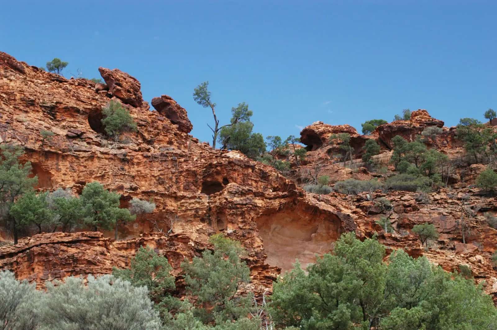
Willandra National Park, 64 km — former Big Willandra Station, 60 km of Willandra Creek frontage, homestead and shearing precinct, camping. Park entry listed at $8 per vehicle per day on the NPWS page; confirm. Dry-weather access. Our Willandra National Park guide covers the park.
A fuller list is on things to do in Hillston.
Where to stay
Visit NSW names a caravan park with tents and cabins. Council names free riverside camping. This hub does not rank motels or quote prices.
- Confirm rooms and parks at the gallery / VIC on High Street, or the district office (02) 6961 7600.
- How to choose: Hillston accommodation
- Parks and camping: Hillston caravan parks
- Operator enquiries: feature your business
If Hillston is full, Hay is the neighbouring town with more beds on this site. That is geography, not a vacancy feed.
Caravan and camping
Vans use Hillston because the Kidman Way is a touring spine and because you can choose a town park, riverside camping (council) or Willandra (NPWS). Pets, fires and stay limits differ. Read Hillston caravan parks. After rain, the Lachlan and park dirt are the constraint. Live Traffic NSW and NPWS first.
Fuel and services
Hillston is a small service town of 1,149 people. Assume fewer hours than Griffith or Hay. This guide does not list bowser brands. Fill up when you can. Carry water if you are riverside camping rather than in a park.
Road access
The Kidman Way is the sealed touring route Visit NSW names through Hillston. It is a freight road. After rain on the Lachlan, check Live Traffic NSW. Willandra access is dry-weather; NPWS says the park may close for poor weather or fire danger.
South toward Griffith and the irrigation cities; west toward Hay on Riverina roads; north along the Kidman Way toward outback NSW. The Riverina hub and outback NSW road trip put those choices in a longer loop.
Nearby parks and towns
Parks:
- Willandra National Park — 64 km; not the same as the Willandra Lakes / Mungo World Heritage Area.
Towns on this site:
- Hay — Murrumbidgee, Hay Plains, Cobb Highway.
- The Riverina hub.
Griffith does not have a full guide here yet. Use Visit NSW and the Hillston VIC.
When to go, and how long
January’s mean maximum of 33.6 °C is hot for a midday river walk. July’s 15.1 °C mean maximum is the comfortable season. Council names Lake Woorabinda Festival on the second Saturday in March and Hook Like & Sinker Fishing Festival on the last full weekend in August. The pool runs November–March. See Hillston weather.
One night is enough for High Street and the swinging bridge. Two nights lets you add Willandra if the dirt is open. Three nights only if both festivals and the park are in play.
Operators who want a checked listing: feature your business. The listings slot stays empty until then.
Plan this trip
Tell us the dates, who you are travelling with and where you need help. We reply with planning notes for Hillston — we are not a booking agent.
Events and road-conditions newsletter
Occasional notes on outback festivals, race days and official road-condition sources — not a daily blast. We use these details only to send the newsletter.
New South Wales · Riverina
Hillston accommodation
Where to stay in Hillston: caravan park with cabins named by Visit NSW, free riverside camping named by Carrathool Shire, and motel rooms confirmed at the visitor gallery.
Read · 3 min
New South Wales · Riverina
Hillston caravan parks
Caravan parks and camping in Hillston: town park with cabins named by Visit NSW, free riverside camping named by Carrathool Shire, and Willandra National Park camping 64 km out.
Read · 3 min
New South Wales · Riverina
Hillston weather
Hillston climate from Bureau of Meteorology Hillston Airport (075032, closed 2025): January mean maximum 33.6 °C, July 15.1 °C, annual rainfall 374.6 mm over 135 years. Full monthly table.
Read · 3 min
New South Wales · Riverina
Things to do in Hillston
Things to do in Hillston: Red Dust & Paddy Melons Gallery, Lake Woorabinda, Lachlan swinging bridge, High Street heritage trail and Willandra National Park 64 km out.
Read · 4 min
Frequently asked questions
How far is Hillston from Sydney and Melbourne?
Destination NSW describes Hillston as a 7.5-hour drive from Sydney and a 6.5-hour drive from Melbourne. You can also fly to Griffith City Airport and drive about 75 minutes.
What is Hillston’s population?
1,149 people at the 2021 Census for the Hillston urban centre (UCL115081). Median age 37.
What river is Hillston on?
The Lachlan. Carrathool Shire and Visit NSW both describe riverside walking, the swinging bridge and fishing. Willandra National Park, 64 km from town on the council page, sits on Willandra Creek.
Where is the visitor centre?
Red Dust & Paddy Melons Gallery on High Street doubles as Hillston’s Visitor Information Centre, according to Carrathool Shire. The Hillston District Office is at 139–145 High Street, phone (02) 6961 7600.
Whose Country is the nearby national park on?
Carrathool Shire’s Hillston page records that Willandra Creek was an important travel route and food source for the Ngiyampaa people. Confirm a townsite acknowledgement with council.
What is the weather like?
Bureau of Meteorology means for Hillston Airport (075032, closed October 2025) show a January mean maximum of 33.6 °C, a July mean maximum of 15.1 °C and annual mean rainfall of 374.6 mm over 135 years.
Sources and further reading
Facts on this page were checked against these primary and official sources. Conditions change — confirm before you travel or buy.
- Hillston 2021 Census QuickStats (UCL115081) — Australian Bureau of Statistics
- Climate statistics for Hillston Airport (075032) — Bureau of Meteorology
- Hillston — Carrathool Shire Council
- Hillston — Destination NSW
- Willandra National Park — NSW National Parks and Wildlife Service
- Live Traffic NSW — Transport for NSW