At a glance
Sourced facts only. Distances and services change — confirm before you travel.
- Local government
- Western Downs Regional Council
- Mobile coverage
- Check Telstra and Optus coverage maps before travel; do not assume a signal.
- Best time to visit
- May–September on Dalby Airport cooler mean maxima (labelled neighbour table)
Climate
Monthly means from the Bureau of Meteorology station Dalby Airport (041522). This is not a forecast. Open. Labelled Western Downs neighbour table. Commenced 1992. Elevation 346 m.
| Month | Mean max (°C) | Mean min (°C) | Rainfall (mm) |
|---|---|---|---|
| Jan | 32.7 | 18.9 | 74.3 |
| Feb | 31.7 | 18.4 | 74.8 |
| Mar | 30.2 | 16.7 | 64.9 |
| Apr | 27.3 | 12.5 | 19.8 |
| May | 23.2 | 8.4 | 38.4 |
| Jun | 20.2 | 5.4 | 28.8 |
| Jul | 19.8 | 4.1 | 23.8 |
| Aug | 22.0 | 4.8 | 21.9 |
| Sep | 25.8 | 8.6 | 26.7 |
| Oct | 28.6 | 12.8 | 58.5 |
| Nov | 30.6 | 15.6 | 74.4 |
| Dec | 31.9 | 17.6 | 90.1 |
Tara in pictures
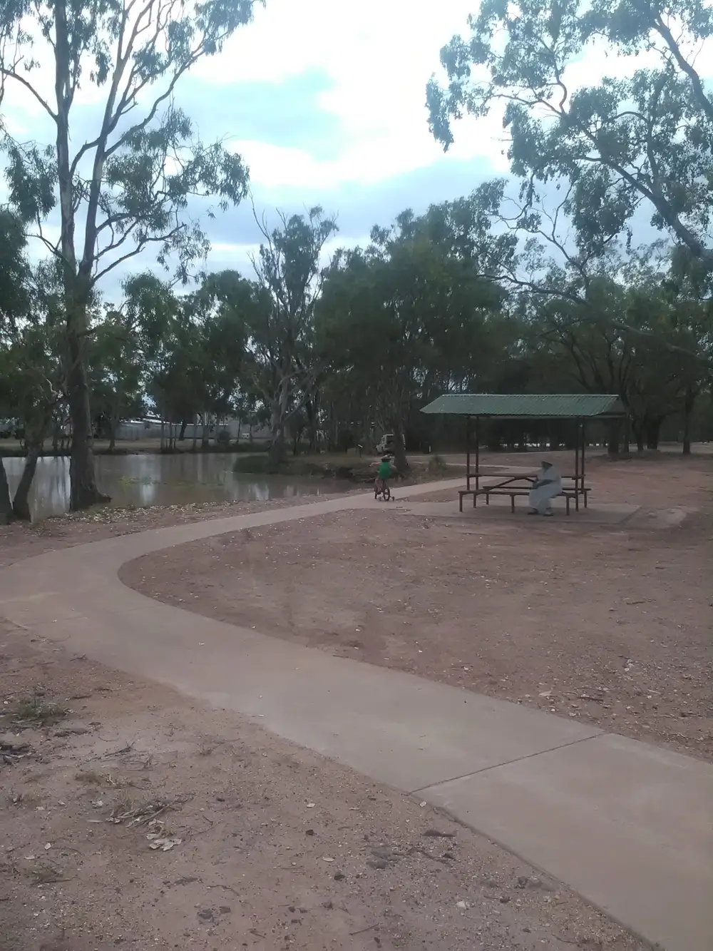
Tara LagoonPhoto: Jack Bliskin · CC BY-SA 4.0 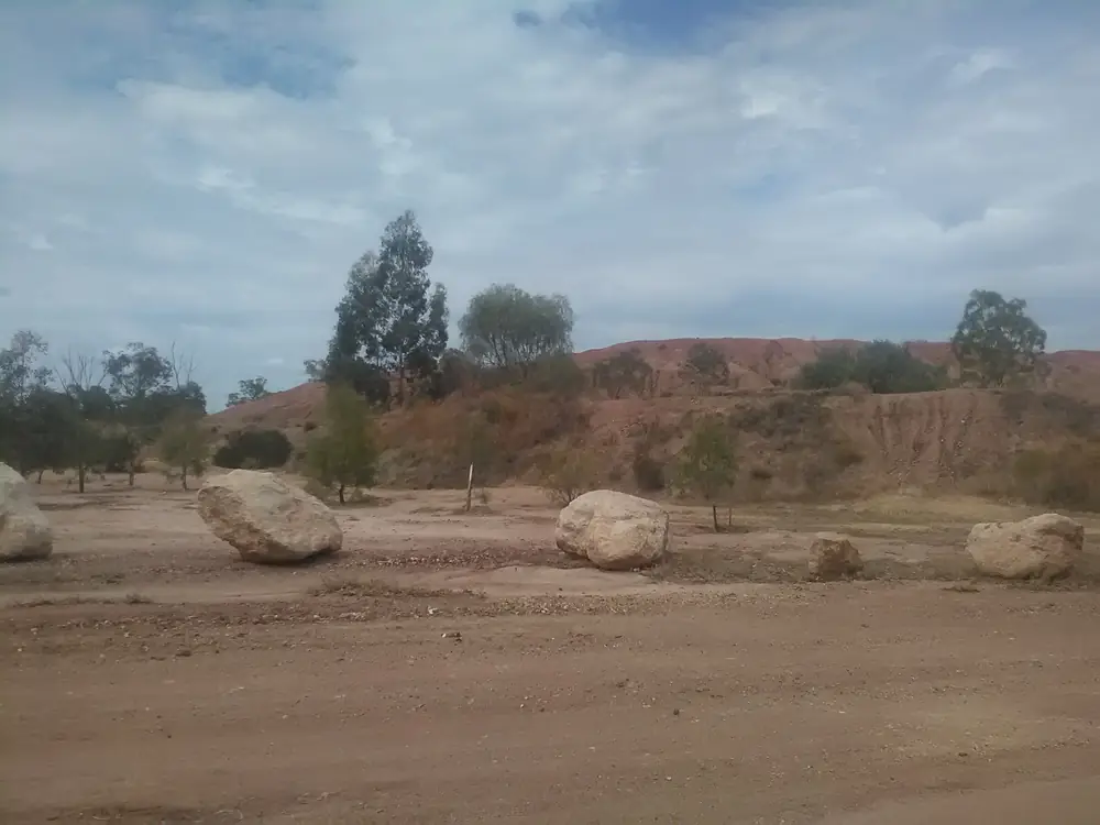
Tara Lagoon Park and Rock formationPhoto: Jack Bliskin · CC BY-SA 4.0 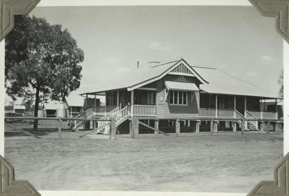
Police Station at TaraPhoto: Item is held by John Oxley Library, State Library of Queensland. · Public domain 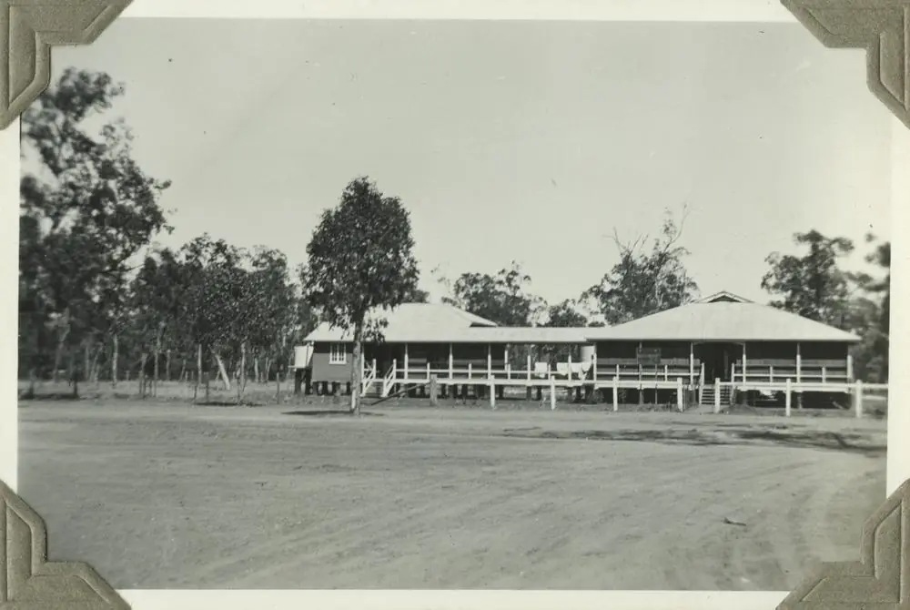
Tara District HospitalPhoto: Item is held by John Oxley Library, State Library of Queensland. · Public domain
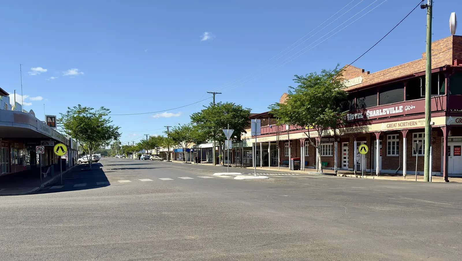
Tara is a Western Downs town in Queensland’s south-west inventory, reached from the Moonie Highway then the Surat Developmental Road. Western Downs Queensland’s Tara page describes a town of lagoon parklands, a district museum, a Hugh Sawrey connection at the Commercial Hotel, and a biennial Festival of Culture and Camel Races. The official festival site listed 31 July–2 August 2026 and later published 2026 race results. This hub treats that meeting as the last dated festival on those pages. It does not invent a 2028 calendar. Confirm the next event at the Tara Customer Service Centre.
The Australian Bureau of Statistics publishes both an urban centre and a much larger locality. Use UCL321099 Tara (L) for the town: 728 people, median age 41, sex split 48.6% male / 51.4% female, 161 families, 398 private dwellings. Use SAL32745 Tara (Qld) only if you mean the whole locality: 1,980 people, median age 48. Do not mix the two in one sentence.
The Moonie and Surat Developmental roads are sealed in ordinary weather. You still need QLDTraffic after storms, because a two-leg run from Dalby is no use if the highway is closed.
Where it is, and how far
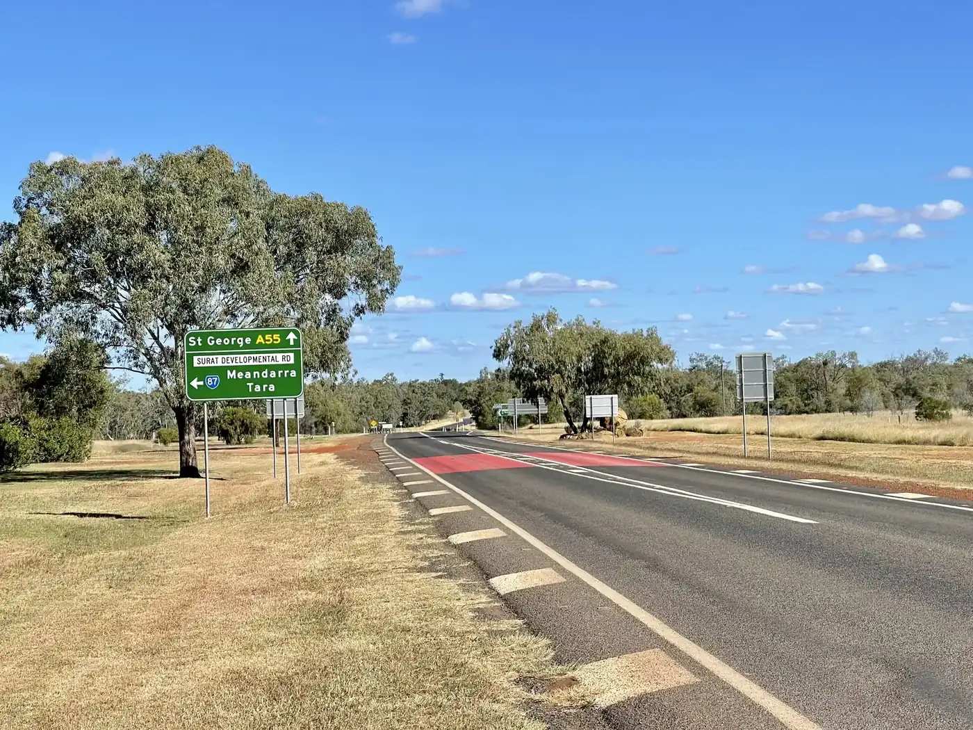
Tara sits west of Dalby on the Western Downs, south of Chinchilla and east of Surat. Western Downs Queensland’s getting-here page names the Moonie Highway (State Route 49) from Dalby toward Thargomindah, and the Warrego Highway (A2) as the region’s major arterial. The festival FAQ is the page that prints the Tara legs: from Dalby, Moonie Highway about 44 km, then right onto the Surat Developmental Road for about 44 km; from Chinchilla, the Tara–Chinchilla Road about 70 km; from Surat, via Glenmorgan, Surat Developmental Road about 87 km. Festival media copy also puts Tara three and a half hours west of Brisbane and two hours west of Toowoomba. This hub does not invent a single Tara–Miles or Tara–St George kilometre that is not on those pages.
| Place | Distance from Tara (sourced) |
|---|---|
| Dalby | about 44 km on the Moonie Highway plus about 44 km on the Surat Developmental Road (festival FAQ) |
| Chinchilla | about 70 km on the Tara–Chinchilla Road (festival FAQ) |
| Surat (via Glenmorgan) | about 87 km on the Surat Developmental Road (festival FAQ) |
| Moonie | about 45 km north on the Leichhardt Highway then about 28 km on the Surat Developmental Road (festival FAQ) |
| Myall Park Botanic Garden | 7 km from Glenmorgan, named as a nearby stop on Western Downs Queensland’s Tara page — not a Tara main-street kilometre |
Miles is the next Warrego Highway service town north of this pocket. St George is further south-west on the Balonne. They are neighbours on this site, not 20-minute Tara side roads.
Facts at a glance
Population. ABS 2021 Census, Urban Centre UCL321099: 728 people. Median age 41. 161 families, 398 private dwellings. Locality SAL32745: 1,980 people. Use the Tara (L) UCL QuickStats for the town.
Climate. Bureau of Meteorology’s Queensland rainfall list records TARA TOWNSHIP, 041099 at about 27.28°S, 150.46°E, April 1911–October 2014. BOM does not publish a monthly climate-averages table for Tara. The nearest published table on the Moonie Highway is Dalby Airport, 041522, commenced 1992, elevation 346 m, January mean maximum 32.7 °C, July 19.8 °C, July mean minimum 4.1 °C, annual rainfall 598.6 mm (34 years, 1992–2026). Full columns: BOM Dalby Airport. See Tara weather.
Visitor information. Tara Customer Service Centre, 19 Fry Street, (07) 4678 7804, info@wdrc.qld.gov.au — Western Downs Queensland’s Talk to a Local and Getting Here pages. Accredited visitor information centres on the same Getting Here list are Dalby (Pioneer Park Museum, 17 Black Street, (07) 4679 4461), Miles and Chinchilla. Surat’s Cobb & Co Changing Station, 62 Burrowes Street, (07) 4626 5136, is the Maranoa desk to the west.
Traditional Owners
Western Downs Regional Council’s First Nations page acknowledges Traditional Owners of the Western Downs: the Barunggam to the west of Dalby, the Iman (Yiman) around Wandoan, the Bigambul around the Tara area, and the Wakka Wakka and Jarowair around the Bunya Mountains. The council footer repeats Barunggam, Iman (Yiman), Bigambul, Wakka Wakka and Jarowair as custodians of the region. This hub uses Bigambul for Tara as printed on that council page, without flattening five groups onto one label for the whole Western Downs. Confirm wording with 19 Fry Street.
History
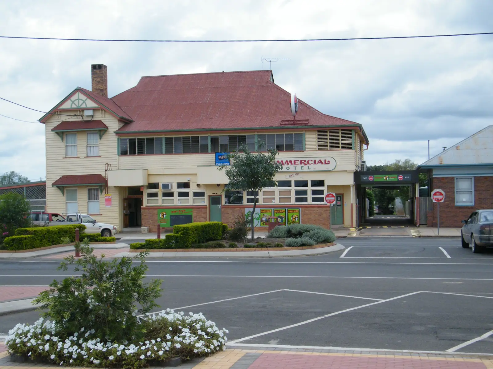
Western Downs Queensland’s Tara page points visitors to the Tara and District Historical Museum for pioneering memorabilia, Settlers Park, the Tara Memorial Hall Honour Board and cenotaph, and the Bertie Barden Clock. The same page names artist Hugh Sawrey and places his outback work at the Commercial Hotel, and a mural by Regina Hyland at Tara Lagoon Parklands. Graeme McCullogh painted windows in town.
The biennial Festival of Culture and Camel Races is the event Western Downs and the festival site both describe. Festival copy calls it professional racing overseen with Racing Queensland, with seven races on Saturday (400 m) and seven on Sunday (600 m). The 2026 program dates on that site were 31 July–2 August 2026. Results for 2026 were published on the same site. Treat the next meeting as unconfirmed until Western Downs or the festival calendar prints a date.
Moonie, named on the Tara page as a nearby town, is where Western Downs says Queensland’s first commercial oil was discovered in October 1961. That is Moonie history, not a Tara museum claim.
Things to do
Tara Lagoon Parklands — Western Downs: stroll, picnic, birding, fishing by the lagoon, Walk of Remembrance, Regina Hyland mural. Getting Here names a dump point here (off Showground Road).
Tara and District Historical Museum — pioneering collection on the town page.
Self-guided architecture and painted windows — Western Downs names buildings of different eras and Graeme McCullogh’s windows.
Walk of Remembrance, Settlers Park, Memorial Hall, Bertie Barden Clock — the heritage cluster on the town page.
Sunset Way — Western Downs: self-drive west from Tara to Surat. Another sunset spot is named 4 km east.
Myall Park Botanic Garden — at Glenmorgan, 7 km from that town on the Tara page, not in Tara’s main street.
Meandarra ANZAC Memorial Museum — named as a nearby stop, not a Tara building.
See things to do in Tara.
Where to stay
Official visitor copy names types rather than a ranked inventory:
- Tara Lagoon Parklands — camping and caravans on the festival stay page; dump point on Western Downs Getting Here
- Tara Caravan Park, Milne Street — named on the festival stay page
- Tara Hotel Motel, Baddley’s Lane, and Commercial Hotel, 45 Day Street — named on the same festival stay page
- Tara Spa Apartments, 18 Milne Street — named there as pet-friendly; confirm with the operator
Confirm at (07) 4678 7804. Festival free camping at the showgrounds is an event arrangement with its own dates, not a year-round town park.
- How to choose: Tara accommodation
- Camping detail: Tara caravan parks
- Operator enquiries: feature your business
If Tara is full, Dalby is the Moonie Highway service town to the east and Miles sits on the Warrego. Those are neighbour facts, not booking guarantees.
Caravan and camping
Vans use Tara as a Western Downs overnight off the Moonie Highway. Official named camps are Tara Lagoon Parklands and Tara Caravan Park as printed on the festival stay page, plus event camping when a festival date is listed. Western Downs Getting Here: dump point at Tara Lagoon Parklands; casual parking Day Street (eastern end). Ask 19 Fry Street for stay limits. Read Tara caravan parks and outback camping.
After rain, the Condamine–Moonie floodplain is the constraint. QLDTraffic first.
Fuel and services
A town of 728 people in the urban centre has more services than a 50-person Channel Country locality, but it is still not Dalby. This guide does not list bowser brands. Western Downs Getting Here names dump point and casual parking, not a hospital. Fill up when you can; Dalby, Miles and Chinchilla are the larger Western Downs service towns on the same official pages. For current questions, use Western Downs Regional Council and (07) 4678 7804.
Road access
The Moonie Highway (State Route 49) is the sealed Dalby–south-west spine; the Surat Developmental Road is the sealed town approach described in the festival FAQ. The Tara–Chinchilla Road is the northern sealed link. These are freight roads, shared with road trains. After rain, check QLDTraffic and 13 19 40. Do not drive around closed signs to keep a lagoon walk.
East: Dalby, then the Warrego to Toowoomba. North: Chinchilla or Miles. West: Glenmorgan, Surat, then St George country. South: Moonie at the Leichhardt–Moonie crossroads.
Nearby parks and towns
Named nature and garden sites:
- Tara Lagoon Parklands and birding trails (Western Downs Queensland)
- Myall Park Botanic Garden, 7 km from Glenmorgan
- Sunset Way toward Surat
Towns on this site:
- Dalby — Moonie Highway start, Pioneer Park VIC
- Miles — Warrego Highway, Historical Village
- Chinchilla — Warrego Highway, about 70 km on the festival FAQ
- Surat — Cobb & Co Changing Station, about 87 km via Glenmorgan
- St George — Balonne River, further south-west
When to go, and how long
Dalby Airport’s January mean maximum of 32.7 °C is hot for a lagoon walk at midday. July’s 19.8 °C mean maximum is the comfortable walking season; July’s 4.1 °C mean minimum is why a lagoon camp needs a layer. Annual rainfall 598.6 mm is wetter than Channel Country tables and wetter in summer (December mean 90.1 mm at Dalby Airport). Two hours at the lagoon, museum and memorial cluster is the minimum. A night lets you use a named park if the customer service centre has confirmed it. Two nights only if you are adding Sunset Way to Surat, Glenmorgan’s garden, or a festival that actually has a printed date.
Operators who want a checked listing: feature your business. The listings slot on this hub stays empty until then.
Plan this trip
Tell us the dates, who you are travelling with and where you need help. We reply with planning notes for Tara — we are not a booking agent.
Events and road-conditions newsletter
Occasional notes on outback festivals, race days and official road-condition sources — not a daily blast. We use these details only to send the newsletter.
Queensland · South West
Tara accommodation
Where to stay in Tara: Tara Lagoon Parklands, Tara Caravan Park and hotels named on the festival stay page. Confirm at the Tara Customer Service Centre, 19 Fry Street.
Read · 3 min
Queensland · South West
Tara caravan parks
Camping in Tara: Tara Lagoon Parklands and Tara Caravan Park as named on official Western Downs and festival stay pages. Confirm at 19 Fry Street.
Read · 3 min
Queensland · South West
Tara weather
Tara climate: BOM Tara Township (041099) has no monthly averages table. Use Dalby Airport (041522): January mean max 32.7 °C, July 19.8 °C, 598.6 mm rain.
Read · 4 min
Queensland · South West
Things to do in Tara
Things to do in Tara: Tara Lagoon Parklands, district museum, Walk of Remembrance, Sunset Way to Surat, and the biennial Festival of Culture and Camel Races.
Read · 4 min
Frequently asked questions
How far is Tara from Dalby, Chinchilla and Surat?
The Tara Festival FAQ describes the Dalby approach as about 44 km on the Moonie Highway then about 44 km on the Surat Developmental Road. The same page puts the Chinchilla–Tara road at about 70 km, and the Surat approach via Glenmorgan at about 87 km on the Surat Developmental Road.
What is Tara’s population?
728 people at the 2021 Census for the Tara urban centre (UCL321099). Median age 41. The suburbs-and-localities figure (SAL32745, Tara (Qld)) is 1,980 people and is not the town count.
Are the Tara camel races still held?
Western Downs Queensland describes a biennial Tara Festival of Culture and Camel Races, every second August. The official festival site listed 31 July–2 August 2026 and published 2026 race results. This hub does not invent a 2028 date. Confirm the next meeting with the Tara Customer Service Centre.
Where is the visitor centre?
There is no accredited Tara visitor information centre on Western Downs Queensland’s VIC list. Use the Tara Customer Service Centre, 19 Fry Street, phone (07) 4678 7804, info@wdrc.qld.gov.au. The accredited desks are Dalby, Miles and Chinchilla.
What is the weather like in Tara?
BOM lists Tara Township (041099) as a rainfall station but does not publish a monthly climate-averages table. Use Dalby Airport (041522): January mean maximum 32.7 °C, July 19.8 °C, annual rainfall 598.6 mm.
Can I camp at Tara?
Yes, as named types. Western Downs Queensland names a dump point and casual parking at Tara Lagoon Parklands. The festival’s stay page names Tara Caravan Park, Tara Lagoon Parklands camping and hotel motels. Confirm current rules at 19 Fry Street.
Sources and further reading
Facts on this page were checked against these primary and official sources. Conditions change — confirm before you travel or buy.
- Tara (L) 2021 Census QuickStats (UCL321099) — Australian Bureau of Statistics
- Tara (Qld) 2021 Census QuickStats (SAL32745) — Australian Bureau of Statistics
- Climate statistics for Dalby Airport (041522) — Bureau of Meteorology
- Western Downs Queensland — Tara — Western Downs Regional Council
- Getting Here — Western Downs Queensland — Western Downs Regional Council
- First Nations People — Western Downs Regional Council — Western Downs Regional Council
- Tara Festival of Culture and Camel Races — about camel racing — Tara Festival of Culture and Camel Races
- QLDTraffic — Queensland Government