At a glance
Sourced facts only. Distances and services change — confirm before you travel.
- Local government
- Western Downs Regional Council
- Nearest regional city
- Brisbane 335 km (about 3 hours 45 minutes); Roma 141 km west (about 1 hour 30 minutes) on Western Downs Queensland’s Miles town map
- Capital
- Brisbane 335 km (Western Downs Queensland Miles town map)
- Mobile coverage
- Check Telstra and Optus coverage maps before travel; do not assume a signal.
- Best time to visit
- May–September on Miles Constance Street cooler mean maxima
Climate
Monthly means from the Bureau of Meteorology station Miles Constance Street (042112). This is not a forecast. Open. Commenced 1997. Elevation 305 m.
| Month | Mean max (°C) | Mean min (°C) | Rainfall (mm) |
|---|---|---|---|
| Jan | 34.0 | 20.6 | 69.0 |
| Feb | 33.0 | 20.0 | 72.9 |
| Mar | 31.3 | 18.2 | 73.0 |
| Apr | 27.8 | 13.3 | 26.3 |
| May | 23.7 | 8.3 | 27.3 |
| Jun | 20.5 | 5.8 | 32.2 |
| Jul | 20.3 | 4.4 | 20.6 |
| Aug | 22.9 | 5.5 | 29.9 |
| Sep | 26.8 | 9.9 | 25.4 |
| Oct | 29.7 | 14.1 | 49.4 |
| Nov | 31.5 | 17.2 | 63.8 |
| Dec | 33.1 | 19.2 | 85.1 |
Miles in pictures
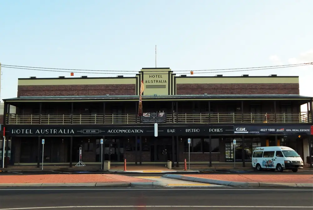
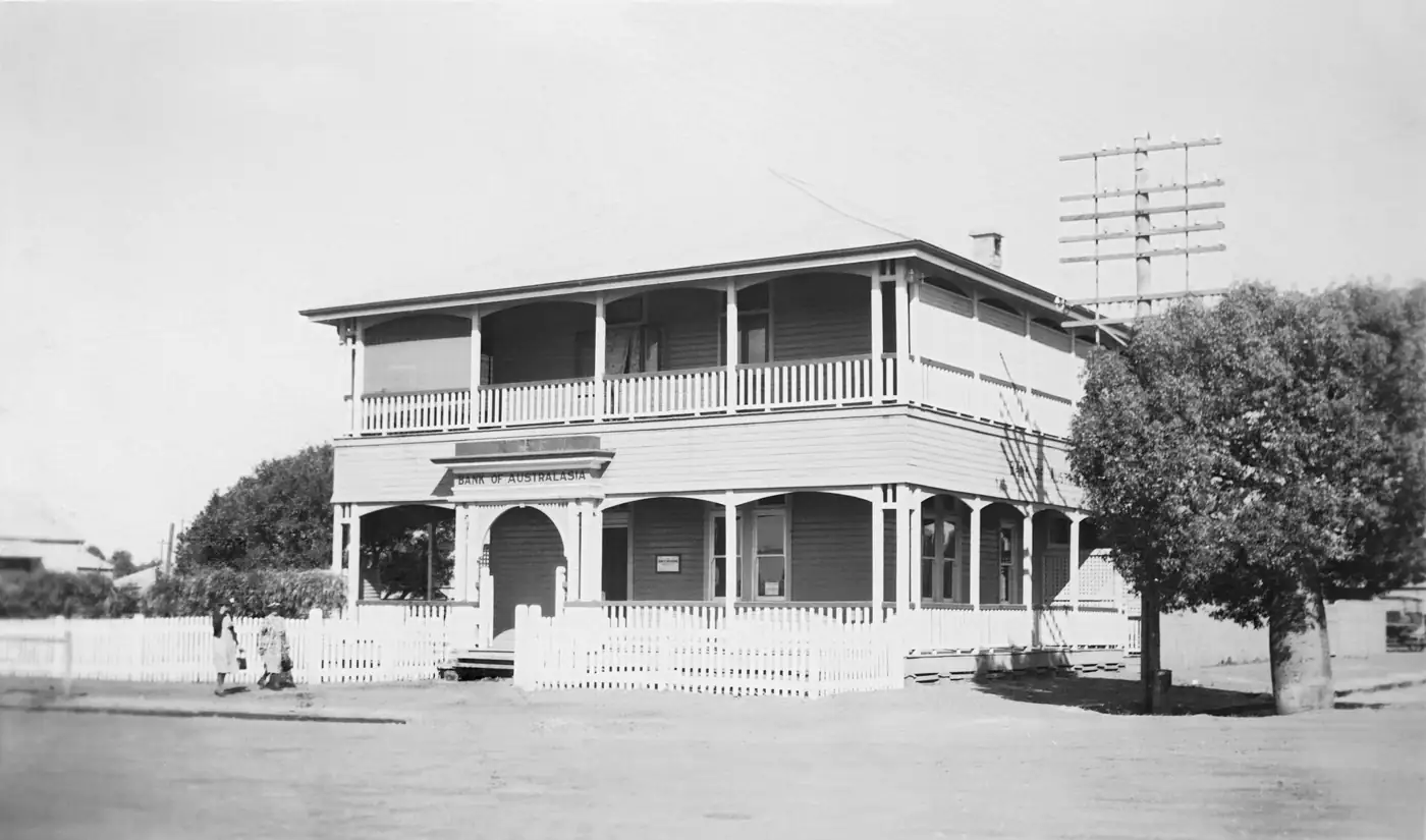
A hotel in MilesPhoto: RegionalQueenslander · CC BY-SA 4.0 
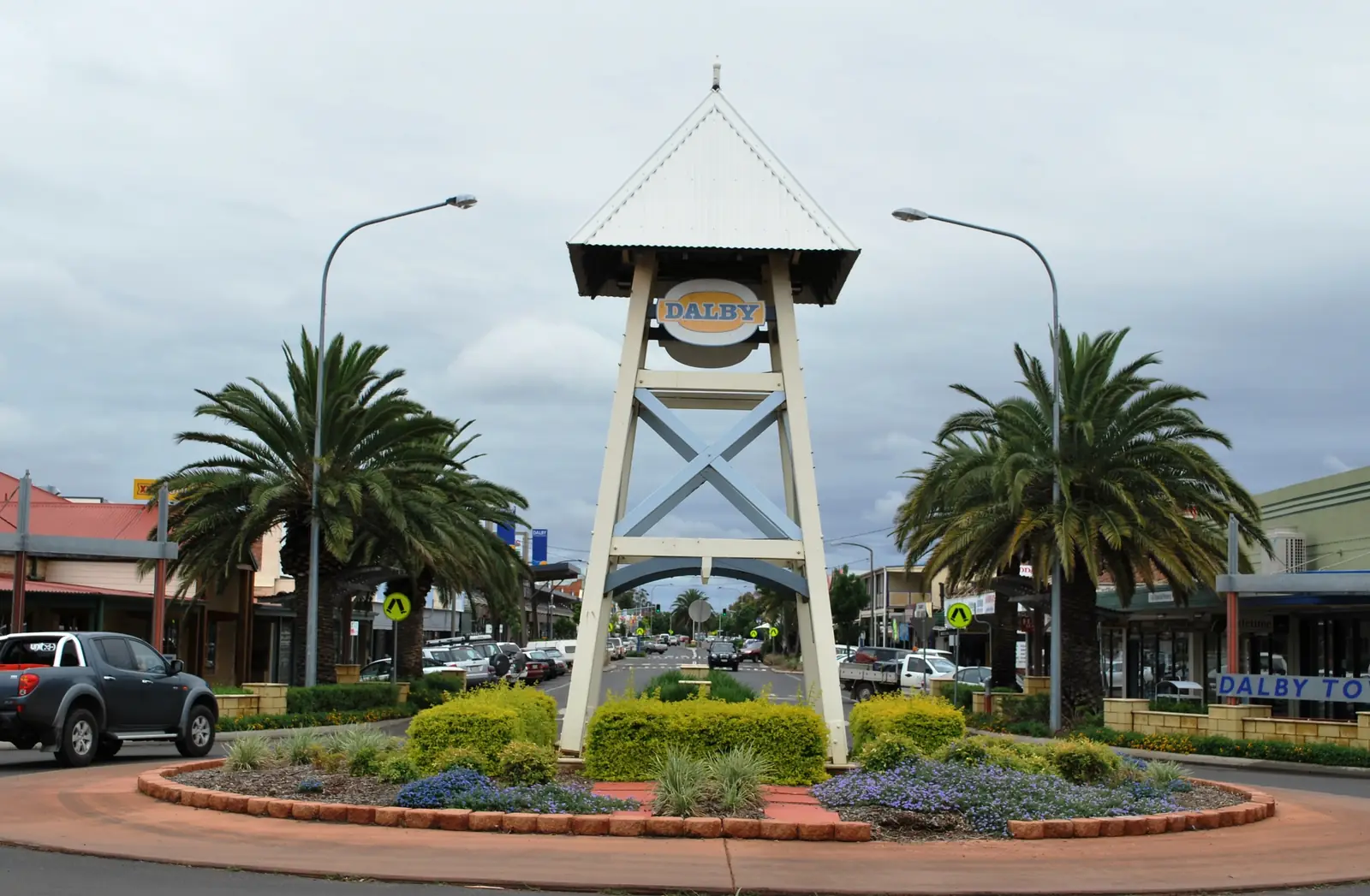
Welcome to Miles signPhoto: RegionalQueenslander · CC BY-SA 4.0 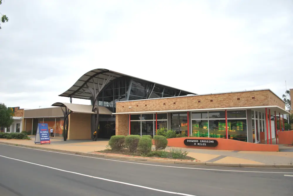
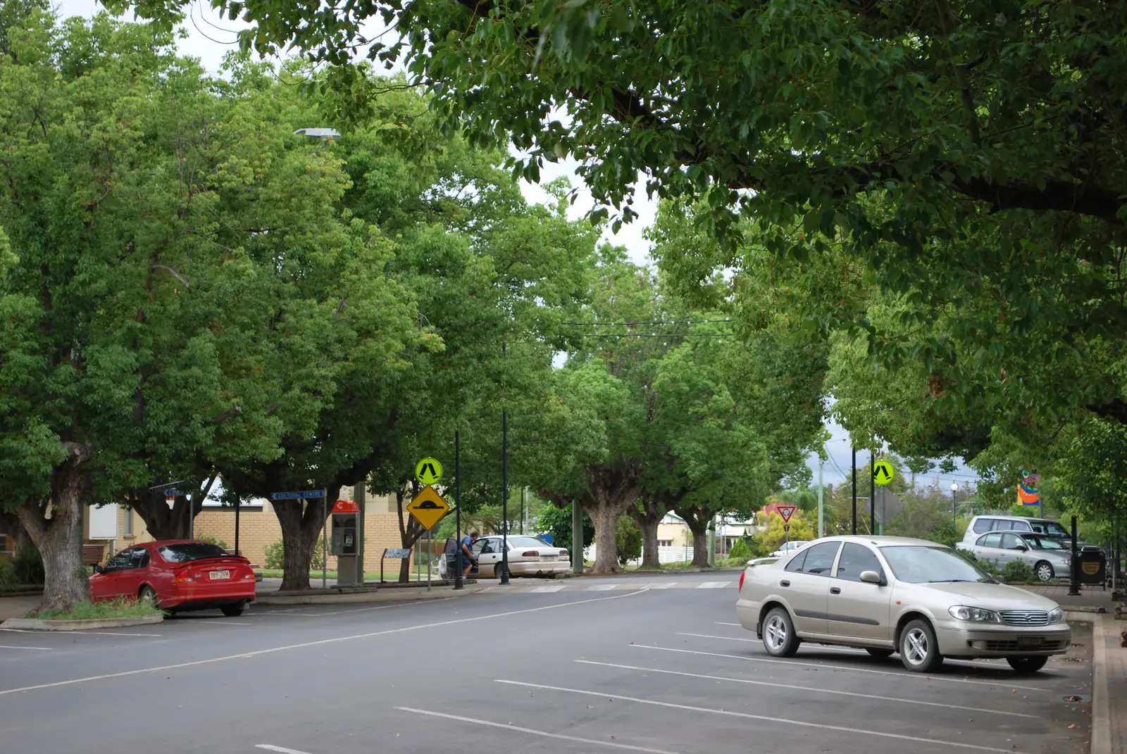
Dogwood Crossing in MilesPhoto: Mattinbgn · CC BY-SA 3.0 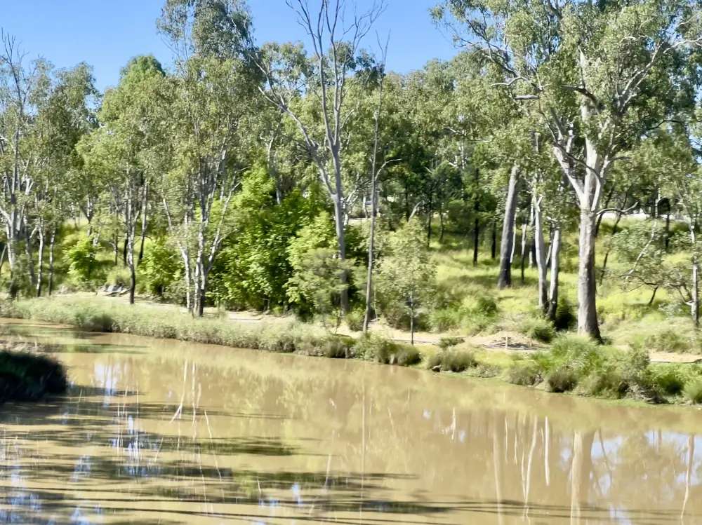
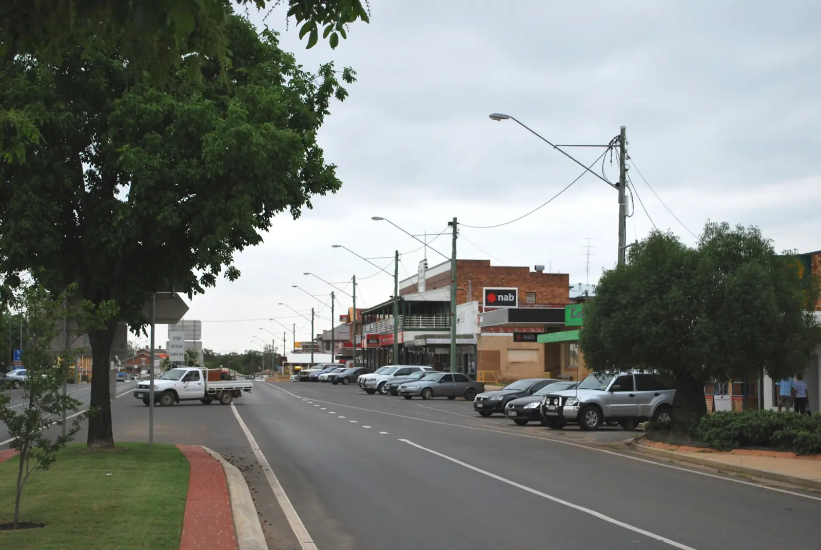
Dogwood Creek in MilesPhoto: Kgbo · CC BY-SA 4.0
Miles, Queensland — search it as Miles Qld if you want the town, not a distance — sits at the sealed crossroads of the Warrego Highway (A2) and the Leichhardt Highway (A5) on the Darling Downs and Western Downs. Western Downs Queensland’s Miles town map puts Brisbane 335 km east (about 3 hours 45 minutes), Dalby 123 km east, Chinchilla 47 km east, and Roma 141 km west. The same map lists Wandoan 69 km, Condamine 33 km, Dulacca 41 km, Gil Weir 6 km and Possum Park 20 km. This is farming, energy and highway country, not Channel Country. Use Miles to see the Historical Village, restock, and decide whether you are staying on the Warrego or turning north or south on the Leichhardt.
Where it is, and how far
Western Downs tourism describes Miles as the town where the Warrego and Leichhardt highways meet. Distances below are from the council tourism town map. They are driving kilometres, not a guarantee of time in harvest traffic or after storms.
| Place | Distance from Miles (Western Downs town map) |
|---|---|
| Brisbane | 335 km (about 3 hours 45 minutes) |
| Dalby | 123 km |
| Chinchilla | 47 km |
| Roma | 141 km (about 1 hour 30 minutes) |
| Wandoan | 69 km |
| Condamine | 33 km |
| Dulacca | 41 km |
| Gil Weir | 6 km |
| Possum Park | 20 km |
| Goondiwindi | 209 km |
| Taroom | 130 km |
If you are continuing west, Roma is the next large service centre on the Warrego. East, Chinchilla and then Dalby sit on the same sealed highway toward Toowoomba and Brisbane. South, Condamine is 33 km on the council map; Caliguel Lagoon is listed 40 km. North, the Leichhardt Highway runs toward Wandoan (69 km on this map) and Taroom (130 km from Miles on this map). Surat is not on this junction — it is on the Carnarvon Highway south of Roma.
Dalby’s own town map lists Miles at 126 km. Use each council map as published rather than averaging the two figures.
Facts at a glance
The Australian Bureau of Statistics counted 1,349 people in the Miles urban centre at the 2021 Census (Urban Centres and Localities code UCL315062). Median age was 39. The sex split was 48.7% male and 51.3% female. That UCL figure is the one to use for the town. The suburbs-and-localities geography (SAL31833) counted 1,874 people; do not mix the two. Read the ABS QuickStats page for Miles UCL.
Climate figures come from the Bureau of Meteorology station Miles Constance Street (042112), which commenced in 1997. Elevation is 305 m. Location is 26.66°S, 150.18°E. The annual mean rainfall is 568.4 mm over 24 years of record (1997–2026) on the summary table. The hottest month by mean maximum is January at 34.0 °C; the coolest month by mean maximum is July at 20.3 °C. December is the wettest month on the same table (85.1 mm mean); July is the driest (20.6 mm). The full monthly table is on the BOM climate page for Miles Constance Street. Our Miles weather page explains what those averages mean for a visit. BOM also publishes a longer-running Miles Post Office (042023) table; this guide uses Constance Street because it is the open station behind current daily observations.
Miles is large enough for fuel, groceries and a visitor desk, which is why caravanners treat it as a practical overnight between Dalby and Roma. It is not a 12,000-person Downs centre like Dalby. Plan for smaller opening hours after dark.
Traditional Owners
Western Downs Regional Council’s First Nations page names the Barunggam to the west of Dalby, the Iman (Yiman) around Wandoan, the Bigambul around Tara, and the Wakka Wakka and Jarowair around the Bunya Mountains. Miles sits west of Dalby on the Warrego, inside that council area. The council does not publish a separate single-nation sentence for the Miles townsite on that page. This guide follows the council wording rather than flattening several nations into one label. Read the council’s First Nations People page and its Acknowledgement.
Confirm plaque or school-project wording with the Miles Visitor Information Centre on (07) 4627 1492 before treating a single-nation claim as settled.
History
Western Downs tourism treats Miles as a highway-and-heritage town. The stop the region still uses is Miles Historical Village Museum, operating since 1971 (the museum marked 50 years in 2021 on the council heritage page). Western Downs describes more than 30 authentic and original buildings from the 19th and 20th centuries; the Miles town page also says 34 buildings. Use the live museum and visitor-centre wording on the day you go rather than treating either count as a trivia score.
The village is on the Warrego Highway at the eastern entrance to town, 141 Murilla Street. It shares a front door with the accredited visitor information centre. That pairing is the reason Miles appears on Warrego itineraries: you can get maps and walk a streetscape without leaving the highway strip.
Dogwood Crossing is named on the Miles town page as the cultural heart — an art gallery, library and community spaces. ANZAC Park is the starting point for the Miles Soundtrail, an audio walk Western Downs describes as stories of belonging and identity. Drillham (20 km west) is described as a former railway settlement whose creek-side weir watered steam locomotives. Dulacca (42 km west on the town page; 41 km on the map) was founded in 1879 with the railway; the Dulacca Hotel is the “Pink Pub on the Hill”, dating to 1908. Condamine (33 km south) is home to the Condamine Bell story and a replica bell in Condamine Bell Park. Those are council tourism points, not a full pastoral gazetteer. This guide stops where Western Downs stops.
Things to do
Start at the Miles Visitor Information Centre / Miles Historical Village Museum, 141 Murilla Street. Western Downs lists the centre there; the phone number is (07) 4627 1492. The museum page lists opening hours 7 days, 8.30am–4.30pm, last admission 3.30pm, closed Christmas Day, with admission fees. Confirm before a public holiday. Ask for current camping rules at Gil Weir, which district drives are open, and whether the seasonal wildflower map is available.
Miles Historical Village Museum is the main reason to stop. Wander the buildings or book a guided tour through the museum’s own site. Western Downs also names a sunset tour. This page does not publish ticket prices; they belong on the official museum pages, which can change.
Dogwood Crossing is the gallery and library stop in town. ANZAC Park has the Remembrance Wall and a rare German artillery field gun on the Miles town page, plus the Soundtrail start. Dogwood Creek walking track is the in-town nature walk. Chinaman’s Lagoon is named for waterlilies — Western Downs calls them a rare tropical waterlily surviving in a handful of Australian locations. Treat that as visitor-centre wording, not a botanical paper.
Gil Weir, about 6 km south, is the close water stop: pelicans, fishing (permit required on the camping page) and a short drive. Back to the Bush Festival is listed as a biennial September event. Spring wildflower self-drives toward Gurulmundi are seasonal; pick up the map at the information centre when it is in season.
A fuller list, with how to order a day, is on things to do in Miles.
Where to stay
Western Downs tourism groups Miles stays as hotels and motels in town, caravan parks with sites and cabins, and camping at Gil Weir (48-hour stay on the camping page; fishing licence required; powered craft less than 10 hp). Nearby Dulacca and Condamine pubs and motels appear on the same hotel directory. This page does not publish a ranked list of operators, prices or ratings. Named businesses change hands; the official directories are kept current.
- Hotels and motels: Western Downs — Miles hotels and motels
- Caravan and camping: Camping and caravanning in Miles
- How to choose a type of stay: Miles accommodation
- Parks and camping in more detail: Miles caravan parks
- Empty listings slot and operator enquiries: feature your business
Book ahead for school holidays, the Back to the Bush Festival, and long weekends. Gil Weir is a weir camp, not a town caravan park; facilities and rules differ.
Caravan and camping
Miles works as a van overnight because both highways are sealed, the town has dump points and potable water on the Western Downs getting-here page, and you can be in a park or at Gil Weir the same afternoon. Western Downs names Miles Crossroads Caravan Park, Columboola Country, and Possum Park on its camping page, plus Gil Weir. Confirm pet rules, site length and whether you need to book. Read Miles caravan parks and the general caravanning in the outback guide before you tow west of Roma, where services thin out.
Western Downs lists Miles as an RV-friendly town, with dump points at Industrial Lane or Corbett Drive (near the railway station), potable water at the visitor information centre, and casual parking on Corbett Drive behind ANZAC Park. Check signs on the day.
Fuel and services
Miles is a small highway town of 1,349 people in the urban centre. Fuel, groceries and food sit on and just off Murilla Street. This guide does not list brand names or opening hours that go stale. For current local-service questions, use Western Downs Regional Council and the visitor centre at 141 Murilla Street. Fill up here if you are heading north on the Leichhardt or west to Roma after hours; do not assume every smaller Downs town has 24-hour fuel.
Mobile coverage is generally good in town and along the Warrego. It can drop on the Condamine and Gurulmundi side roads. Carry water in summer even on the short run to Gil Weir.
Road access
Sealed highways meet at Miles:
- Warrego Highway (A2) — Brisbane–Toowoomba–Dalby–Chinchilla–Miles–Roma and on toward Charleville.
- Leichhardt Highway (A5) — north toward Wandoan and Taroom; south toward Condamine, Moonie and Goondiwindi.
These are freight roads. Expect road trains, harvest trucks and, after storms, water over the Condamine floodplain. Check QLDTraffic and call 13 19 40 before you leave, especially in summer storm season. Do not drive around closed signs on the Warrego or Leichhardt.
A suggested outback Queensland road trip often uses this sealed on-ramp. Miles is the junction, not the remote stretch. West of Roma the country opens; east of Dalby you are still on the farming Downs.
Nearby parks and towns
Nature and heritage sites named in Western Downs visitor material (not national parks in town):
- Miles Historical Village Museum, 141 Murilla Street
- Dogwood Crossing (gallery and library)
- Dogwood Creek walking track
- Chinaman’s Lagoon
- Gil Weir (camping and fishing, permit required)
- Condamine Bell Park, 33 km south
- Caliguel Lagoon, 40 km on the Miles map
There is no national park inside Miles. Bunya Mountains National Park is a Dalby-side day trip on the Dalby town map (63 km from Dalby), not a Miles roadside stop.
Towns on this site:
- Dalby — 123 km east on the Miles map; Pioneer Park Museum, Lake Broadwater, Bunya Mountains approaches
- Chinchilla — 47 km east; melon capital, Botanic Parkland, weir camping
- Roma — 141 km west; Big Rig, bottle trees, saleyards
- Surat — Cobb & Co Changing Station, reached via Roma rather than a Miles shortcut
- Millmerran — Gore Highway Downs town, not on this junction
- Wandoan — 69 km north on the Leichhardt; Waterloo Plain, Avenue of Honour
- Taroom — 130 km from Miles on this map; Banana Shire / Capricorn Burnett on this site, Steel Wings and Isla Gorge
Drillham, Dulacca, Condamine and Tara appear on Western Downs pages. Use the council visitor pages for those stops if they still lack a full guide here.
When to go, and how long
For comfortable driving, autumn and spring sit between January heat (mean maximum 34.0 °C at Constance Street) and July’s cooler days (mean maximum 20.3 °C). Winter nights on the Downs can be cold; pack layers. Summer storms can close or slow Condamine floodplain roads — that is a QLDTraffic question, not a reason to skip the town if the highway is open.
One night is enough if you only need fuel and the Historical Village. Two nights lets you do the village properly, Dogwood Crossing, ANZAC Park and Gil Weir without rushing, or to sit through the Back to the Bush Festival if it falls in your year. Three nights only if you are adding Condamine, Dulacca and a wildflower drive when the visitor centre says the map is current. See Miles weather and best time to visit the outback for the wider seasonal picture. The Downs are milder than the Channel Country, but January at 34 °C is still hot working weather.
A practical day from the visitor centre
Collect maps at 141 Murilla Street and walk the Historical Village while it is open (last admission 3.30pm). Cross into town for Dogwood Crossing and ANZAC Park. If QLDTraffic is clear, drive the Leichhardt Highway 6 km to Gil Weir for birds and a picnic, or keep south only if you have time for Condamine. Back in Miles, eat and fuel in town. This is not a place where you need to carry two days of food unless you are leaving the sealed network for Gurulmundi or a lagoon camp.
Operators who want a checked listing on this town page can use feature your business. Until then the listings slot stays empty on purpose.
Plan this trip
Tell us the dates, who you are travelling with and where you need help. We reply with planning notes for Miles — we are not a booking agent.
Events and road-conditions newsletter
Occasional notes on outback festivals, race days and official road-condition sources — not a daily blast. We use these details only to send the newsletter.
Queensland · Western Downs
Miles accommodation
Where to stay in Miles Qld: hotels and motels, caravan parks and cabins, and Gil Weir camping. Official Western Downs directories, not a fake hotel round-up.
Read · 4 min
Queensland · Western Downs
Miles caravan parks
Caravan parks and camping in Miles Qld: town parks and cabins, Possum Park, and Gil Weir (48-hour stay). Official names from Western Downs only.
Read · 4 min
Queensland · Western Downs
Miles weather
Miles climate from Bureau of Meteorology Miles Constance Street (042112): January mean maximum 34.0 °C, July 20.3 °C, annual rainfall 568.4 mm. Full monthly table on BOM.
Read · 5 min
Queensland · Western Downs
Things to do in Miles
Things to do in Miles Qld: Historical Village Museum and visitor centre, Dogwood Crossing, ANZAC Park, Dogwood Creek walks, Chinaman’s Lagoon and Gil Weir.
Read · 5 min
Frequently asked questions
How far is Miles from Brisbane and Roma?
Western Downs Queensland’s Miles town map puts Brisbane 335 km away (about 3 hours 45 minutes) and Roma 141 km west (about 1 hour 30 minutes) on the Warrego Highway.
What is Miles Qld’s population?
1,349 people at the 2021 Census for the Miles urban centre (UCL315062). The suburb/locality figure is larger (SAL31833, 1,874) and is not the town count.
When is the best weather in Miles?
Bureau of Meteorology means for Miles Constance Street (042112) show the hottest month in January (mean maximum 34.0 °C) and the coolest in July (20.3 °C). Annual mean rainfall is 568.4 mm, wetter in summer.
Where is the Miles visitor centre?
Miles Visitor Information Centre shares the entrance of Miles Historical Village Museum at 141 Murilla Street. Phone (07) 4627 1492. Confirm hours before you arrive.
Why search “Miles Qld” instead of just Miles?
Miles is a common English surname and a unit of distance. This guide is Miles, Queensland — the Western Downs town on the Warrego Highway — not a US city or a distance calculator.
Can I camp near Miles?
Western Downs lists town caravan parks plus Gil Weir camping about 6 km south on the Leichhardt Highway. Gil Weir has a 48-hour stay on the camping page. Confirm current rules at the visitor centre.
Sources and further reading
Facts on this page were checked against these primary and official sources. Conditions change — confirm before you travel or buy.
- Miles 2021 Census QuickStats (UCL315062) — Australian Bureau of Statistics
- Climate statistics for Miles Constance Street (042112) — Bureau of Meteorology
- Western Downs Queensland — Miles — Western Downs Regional Council
- Miles Historical Village Museum — Western Downs Regional Council
- Western Downs Regional Council — First Nations People — Western Downs Regional Council
- QLDTraffic — Queensland Government