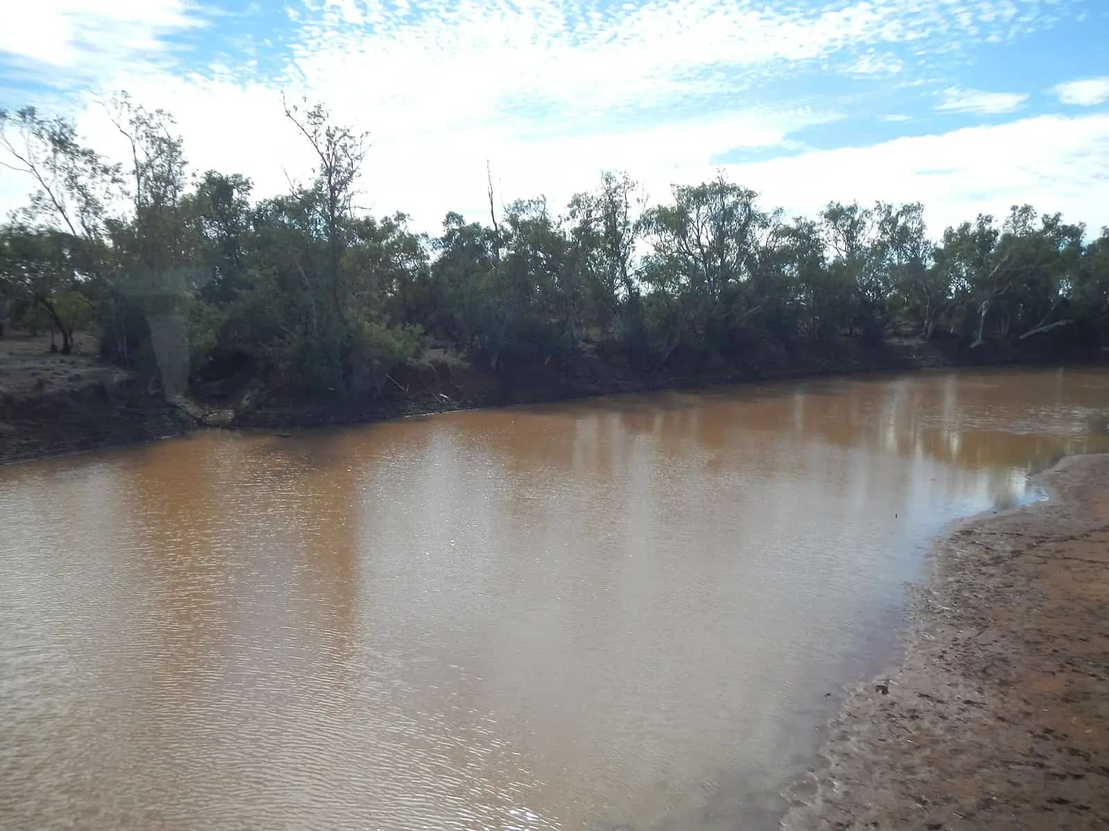
South-west Queensland takes in the Warrego, Paroo and Bulloo catchments and the eastern edge of the Channel Country. From the NSW border at Cunnamulla the country runs north through Charleville towards the central west, and west through Quilpie and Windorah towards Birdsville. It is the start of the Matilda Way, a string of artesian spa towns, boulder-opal country and some of the state's quieter national parks. Outback Queensland Tourism and local councils — Murweh, Paroo, Bulloo, Quilpie, Barcoo, Balonne and Maranoa — are the official sources for visitor information. Check QLDTraffic before any drive west of the Warrego Highway.
Town guides
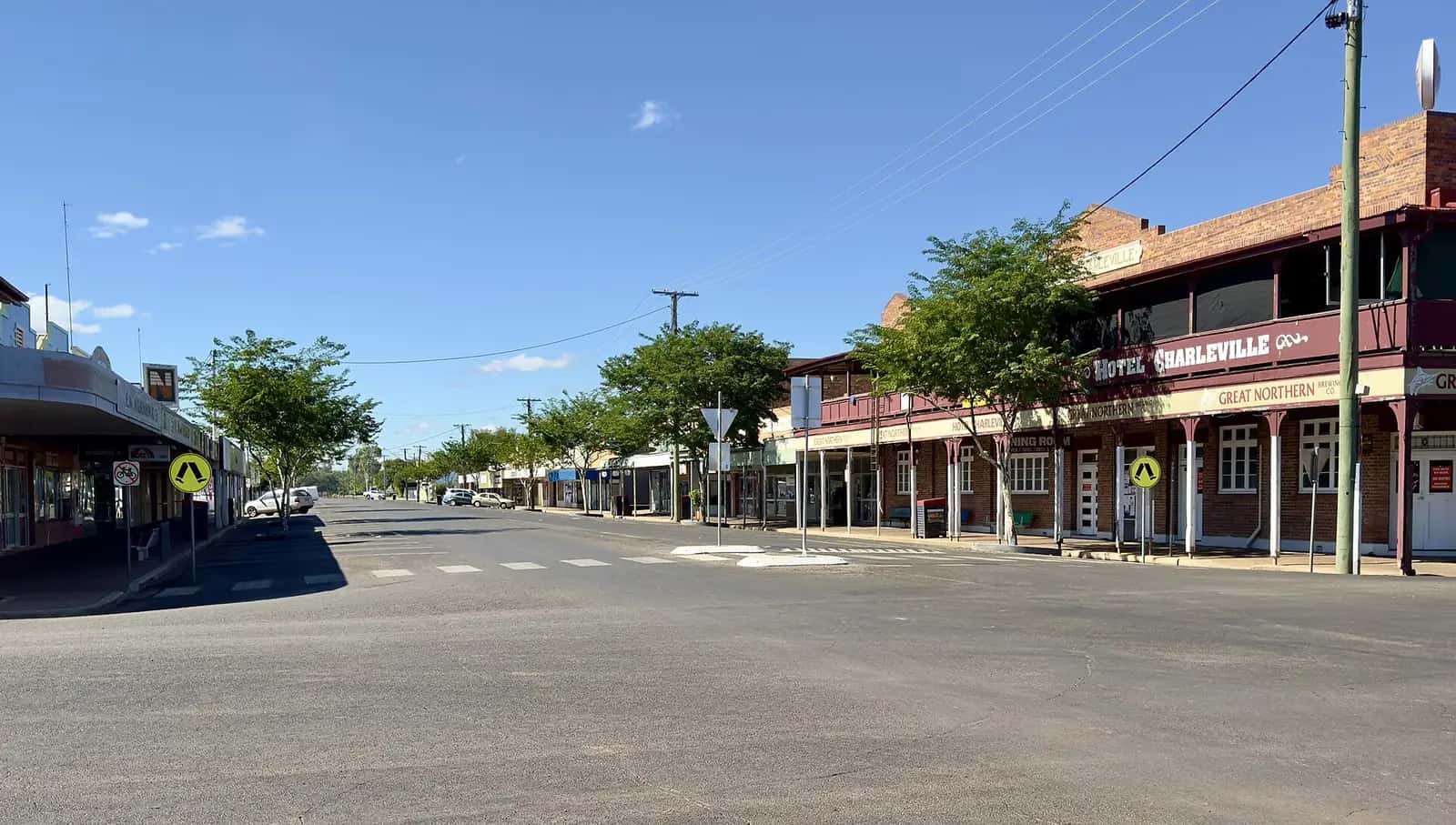
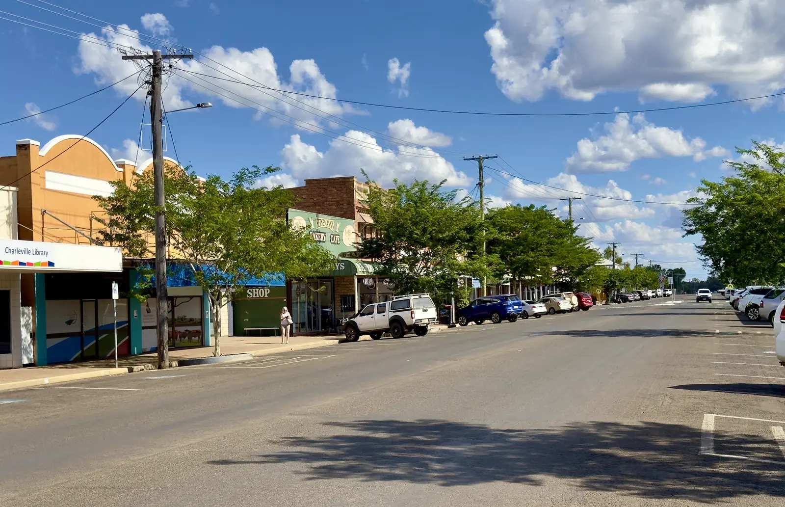
Charleville is the largest town in the south-west, about 750 km west of Brisbane on the Warrego Highway and the Warrego River. The Charleville Bilby Experience introduces the endangered marsupial; the Cosmos Centre offers outback stargazing; and the Royal Flying Doctor Service visitor centre covers the service's west Queensland story. WWII history is part of the town's fabric. The Westlander train from Brisbane terminates here.
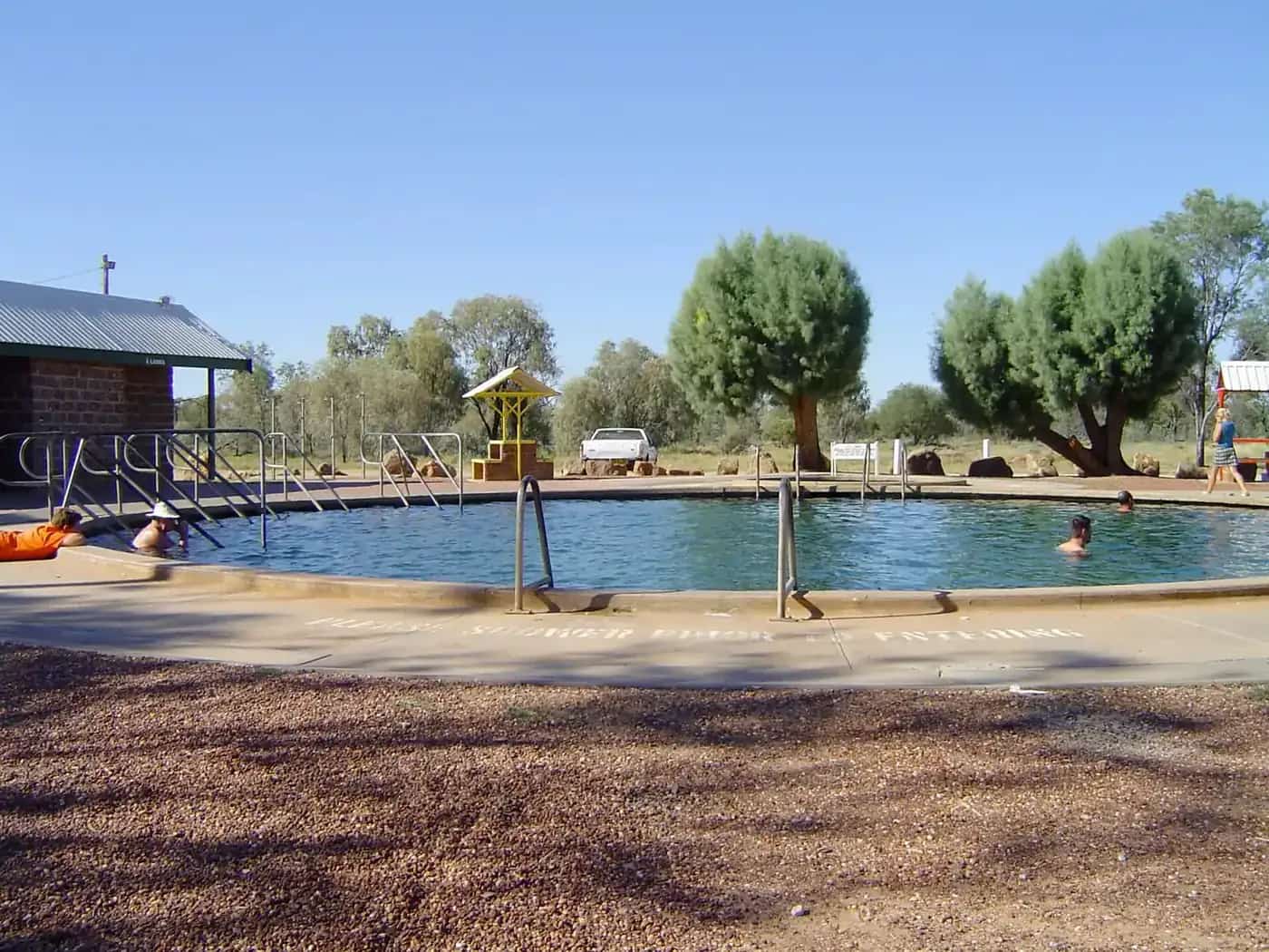
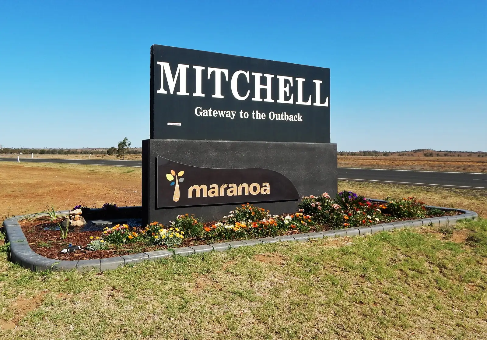
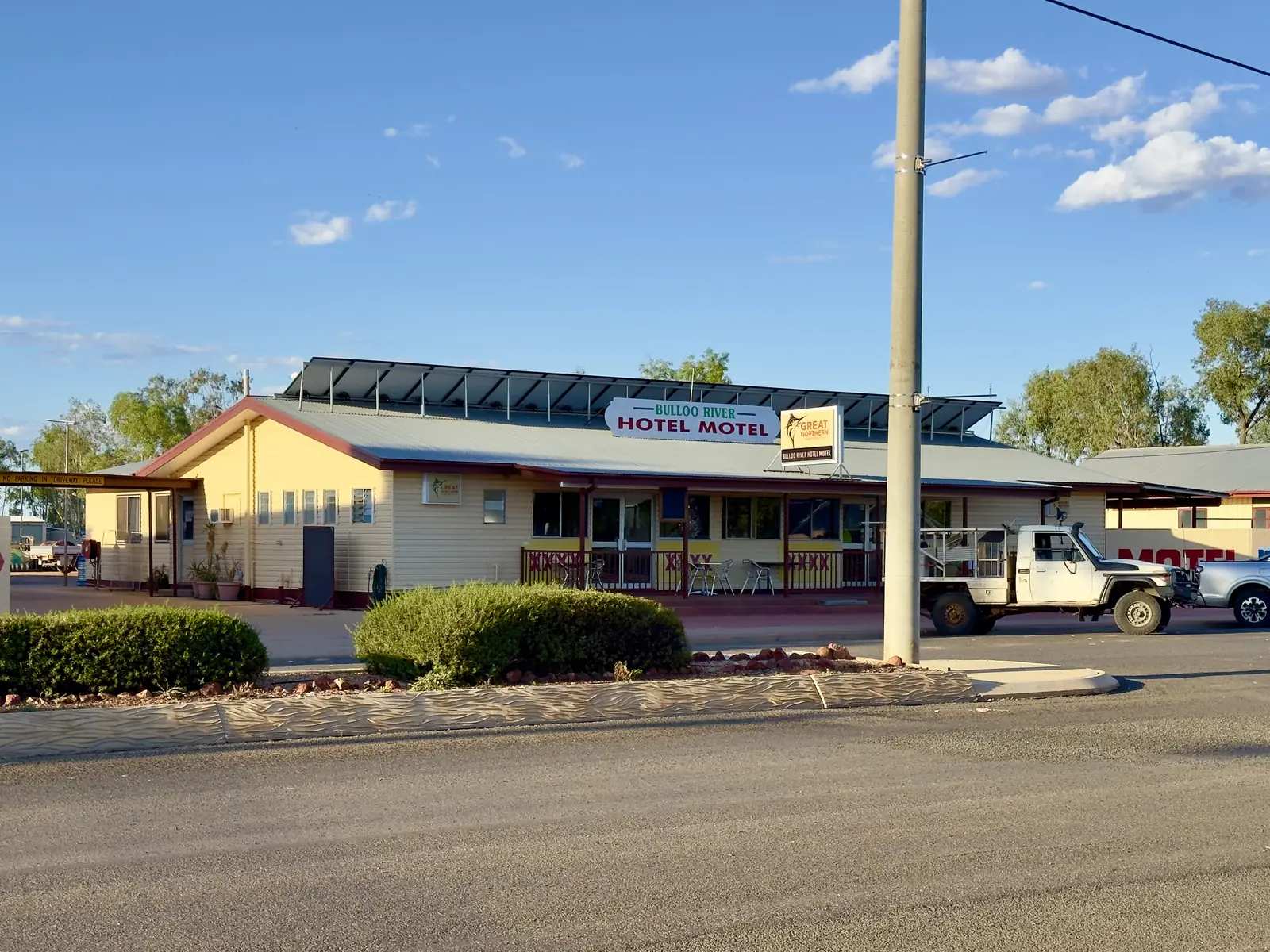
Mitchell, on the Maranoa River and the Warrego Highway between Roma and Charleville, is known for the Great Artesian Spa and river walks. Local stories include the Kenniff brothers, and the town hosts camel races and a ute muster. It is one of the easiest spa stops on a westbound drive from Brisbane.
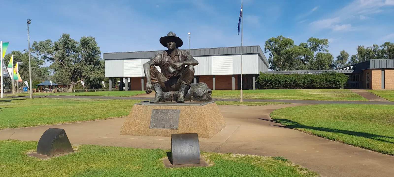
Cunnamulla sits on the Warrego near the NSW border and is the southern start of the Matilda Way. The Cunnamulla Fella statue and river walks are the usual first stops. From here the Mitchell Highway runs north to Charleville.
Quilpie is about 210 km west of Charleville on the Bulloo River. It is boulder-opal country: St Finbarr's Church is known for its opal altar, and Baldy Top lookout sits above town. The Eromanga Natural History Museum, a short drive west, displays dinosaur fossils from the surrounding Channel Country.
Thargomindah on the Bulloo River is a small far-south-west town with an unusual claim: an early hydro-electric plant powered by artesian bore water. Lake Bindegolly and the road to Noccundra are local side trips. Currawinya National Park protects wetlands on the Paroo.
Windorah is a tiny Channel Country town near Cooper Creek, where the Thomson and Barcoo meet. Red sandhills, the International Yabby Races and a solar farm are what most travellers come for. It is the last substantial stop before the long run to Birdsville.
St George on the Balonne River, about 500 km west of Brisbane, is a crossroads of four highways and a centre for irrigated cotton and grapes. The weir and river fishing draw visitors heading to Cunnamulla, Dirranbandi or Lightning Ridge.
Surat is 78 km south of Roma on the Carnarvon Highway (Great Inland Way) and the Balonne River. Maranoa Regional Council's visitor material centres on the Cobb & Co Changing Station at 62 Burrowes Street — museum, replica coach and visitor information — and notes that Australia's last horse-drawn Cobb & Co mail ran from Surat to Yuleba in 1924. The 2021 Census counted 402 people in the Surat urban centre.
Augathella is the Murweh Shire town on the Matilda Way north of Charleville.
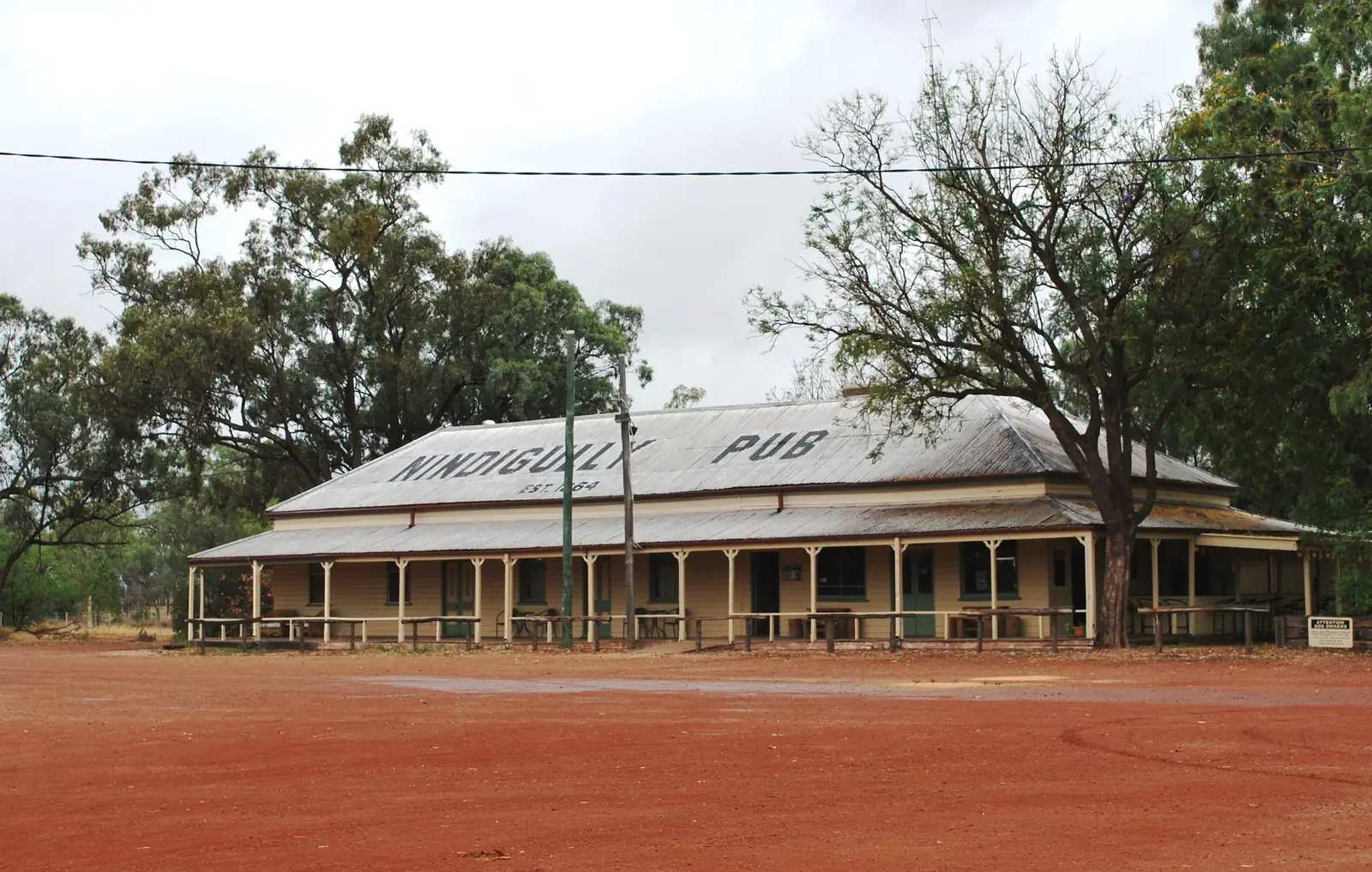
Nindigully is a small Balonne locality south of St George, known for the Nindigully Pub and pig races on official visitor pages.
Hebel sits on the Queensland–NSW border on the road toward Lightning Ridge.
Eulo is west of Cunnamulla in Paroo Shire.
Yowah is Paroo Shire’s opal-field town west of Cunnamulla.
Dirranbandi is a Balonne Shire cotton town on the Castlereagh Highway.
Thallon is the Balonne silo-art town south of St George.
Morven sits on the Warrego Highway in Murweh Shire, east of Charleville.
Jundah is Barcoo Shire’s Thomson River town, 45 km north of Welford National Park.
Bollon is on Wallam Creek and the Adventure Way west of St George.
Tara is the Western Downs town on the Moonie Highway.
Hungerford is the Paroo / Queensland–NSW border locality on the Currawinya approach.
Mungallala sits on the Warrego Highway west of Mitchell.
Muckadilla is a small Warrego Highway locality west of Roma.
Eromanga is Quilpie Shire’s dinosaur-museum town west of Quilpie.
Noccundra is the Bulloo Shire locality west of Thargomindah on the Innamincka approach.
Wyandra is Paroo Shire’s Warrego Highway town between Charleville and Cunnamulla.
Adavale is a tiny Quilpie Shire locality north-west of Quilpie.
Getting around
The Warrego Highway (A2) is the sealed spine from Brisbane through Roma, Mitchell and Charleville. The Mitchell Highway continues south to Cunnamulla and the NSW border. The Balonne Highway and Carnarvon Highway (Great Inland Way) link St George with Cunnamulla, Surat and Roma. West of Charleville the Quilpie and Thargomindah roads include unsealed sections; the Windorah–Birdsville stretch is remote and flood-prone.
Carry extra water and fuel. Distances between services grow quickly west of Charleville. Road trains share the highways. Unsealed roads in the Channel Country close after rain; even sealed sections can flood. Do not drive on a closed road. QLDTraffic (13 19 40) is the official source. See outback safety.
Queensland Rail's Westlander is the train option as far as Charleville. Regional flights serve Charleville. From here the Matilda Way continues north into the central west.
When to go
The cooler months, roughly April to September, are the comfortable touring season. Summers on the Warrego and Channel Country plains are very hot. After good rain, roads west of Quilpie and around Windorah and Thargomindah can stay closed for long periods while floodwater moves down the channels. Events such as Windorah's yabby races and Mitchell's camel races run in the cooler months; confirm dates with the relevant council or visitor centre rather than relying on a printed calendar. See best time to visit.
Themes
Bilbies, stars and the Flying Doctor. Charleville packs three of the south-west's signature experiences into one town. The Save the Bilby Fund's nocturnal presentations, Cosmos Centre telescope sessions and the RFDS visitor centre are the usual two-day itinerary.
Artesian water. Mitchell's spa is the best-known soak on the Warrego. Thargomindah's hydro history is a different take on the same Great Artesian Basin. Our Great Artesian Spa Tour joins these towns with other bore-bath stops.
Opal and fossils. Quilpie's boulder opal and the Eromanga museum sit on the way towards Windorah. Fossicking is regulated; check Queensland fossicking rules before you dig.
Rivers and parks. The Warrego, Paroo, Bulloo, Maranoa, Balonne and Cooper Creek systems define the region. Currawinya protects wetlands on the Paroo. After floods, birdwatching on the channels can be outstanding; see birdwatching.
A suggested route
From Brisbane, allow several days on the Warrego: Roma in the Downs, Mitchell's spa, two nights in Charleville, then either south to Cunnamulla or west to Quilpie and Windorah if roads are open. St George is the southern gateway from Goondiwindi or from Lightning Ridge in NSW. Visitor centres in Charleville, Cunnamulla, Quilpie, Thargomindah, Windorah, Mitchell and St George (and, when you pass through, Surat's Changing Station) can confirm fuel, road closures and which attractions are open.
Continue north on the Matilda Way into the central west, or see the outback Queensland state guide for the full set of regions.
Towns in this region
Outback Queensland
Charleville
Charleville, Queensland: the bilby experience, Cosmos Centre stargazing, Royal Flying Doctor Service visitor centre, WWII history and the Warrego River.
Read · 6 min
Outback Queensland
Mitchell
Mitchell, Queensland: soak in the Great Artesian Spa, walk the Maranoa River, learn about the Kenniff brothers and catch the camel races and ute muster.
Read · 5 min
Queensland · South West
Thargomindah
Thargomindah travel guide: the historic hydro-electric plant powered by artesian water, the Bulloo River, Lake Bindegolly and Noccundra.
Read · 5 min
Queensland · South West
Cunnamulla
Cunnamulla travel guide: the Cunnamulla Fella statue and centre, the Warrego River, the Robber's Tree, artesian spa and Yowah opal fields.
Read · 5 min
Queensland · Channel Country
Windorah
Windorah travel guide: Channel Country town near Cooper Creek, the red sandhills, International Yabby Races, solar farm and fishing.
Read · 5 min
Queensland · South West
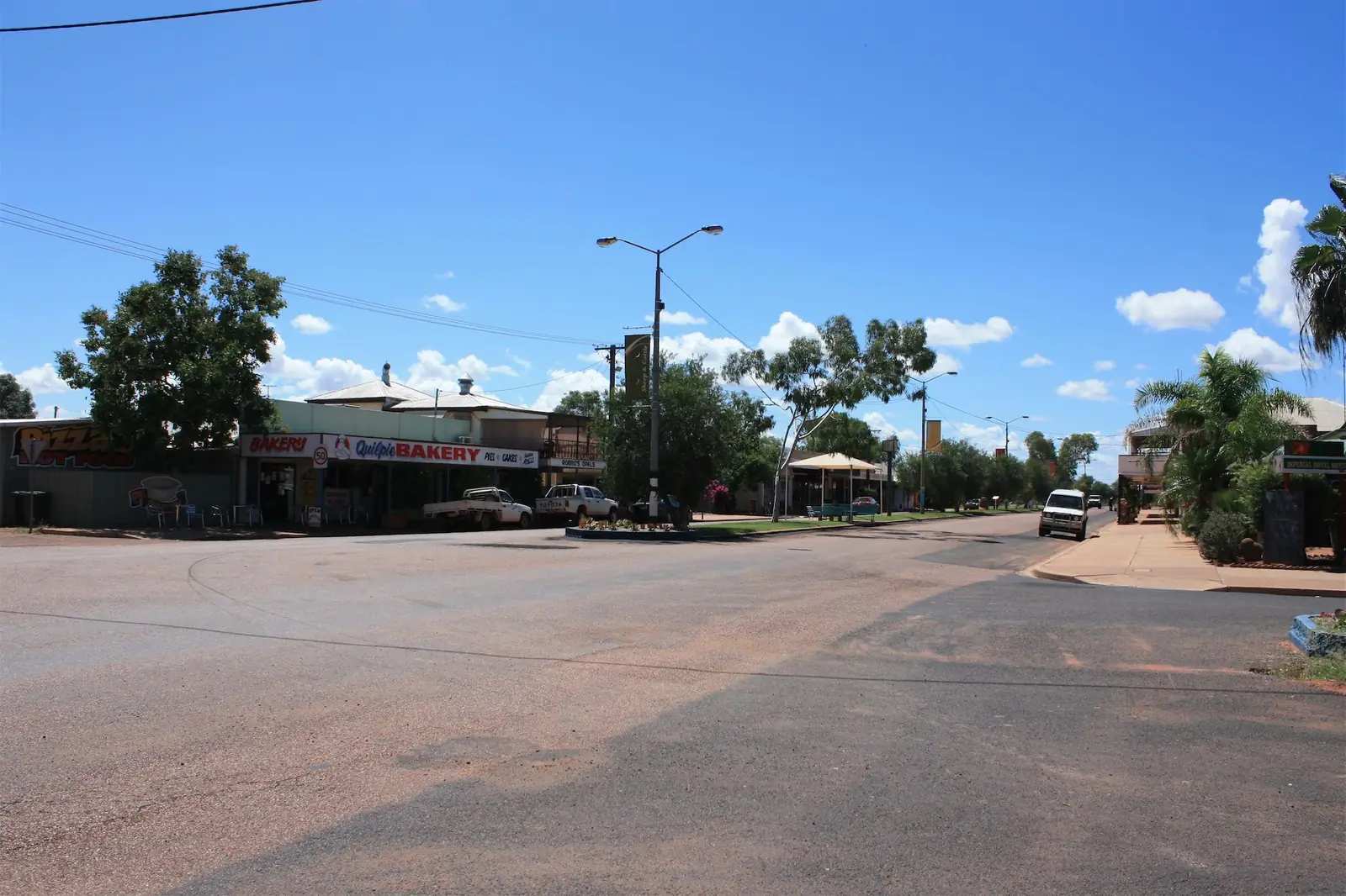
Quilpie
Quilpie travel guide: south-west Queensland's boulder opal town on the Bulloo River, the opal altar, Baldy Top lookout and fossicking.
Read · 5 min
Queensland · South West
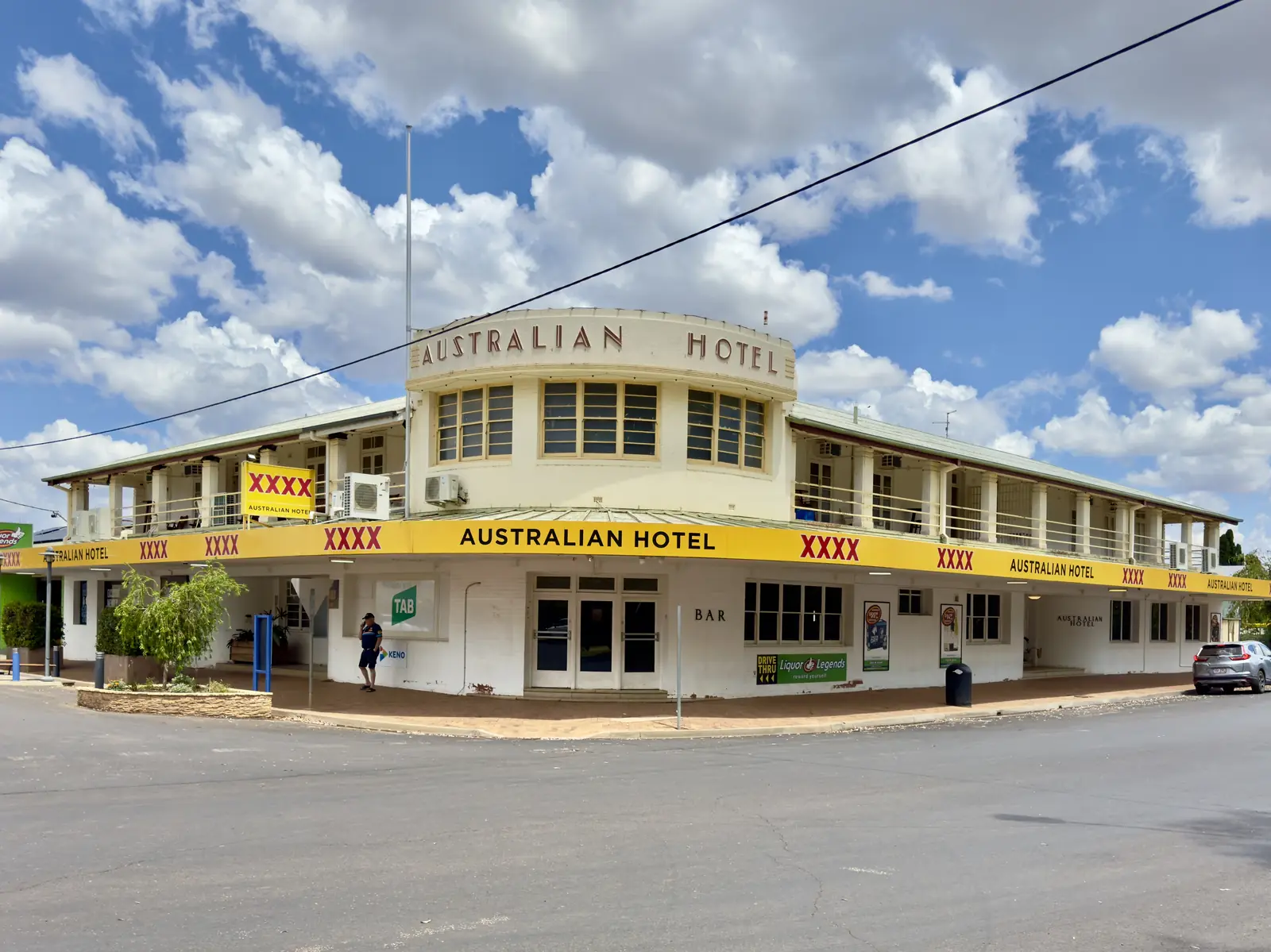
St George
St George travel guide: the Balonne River town at the crossroads of south-west Queensland, its weir, cotton and grape industries, and travel tips.
Read · 5 min
Queensland · South West
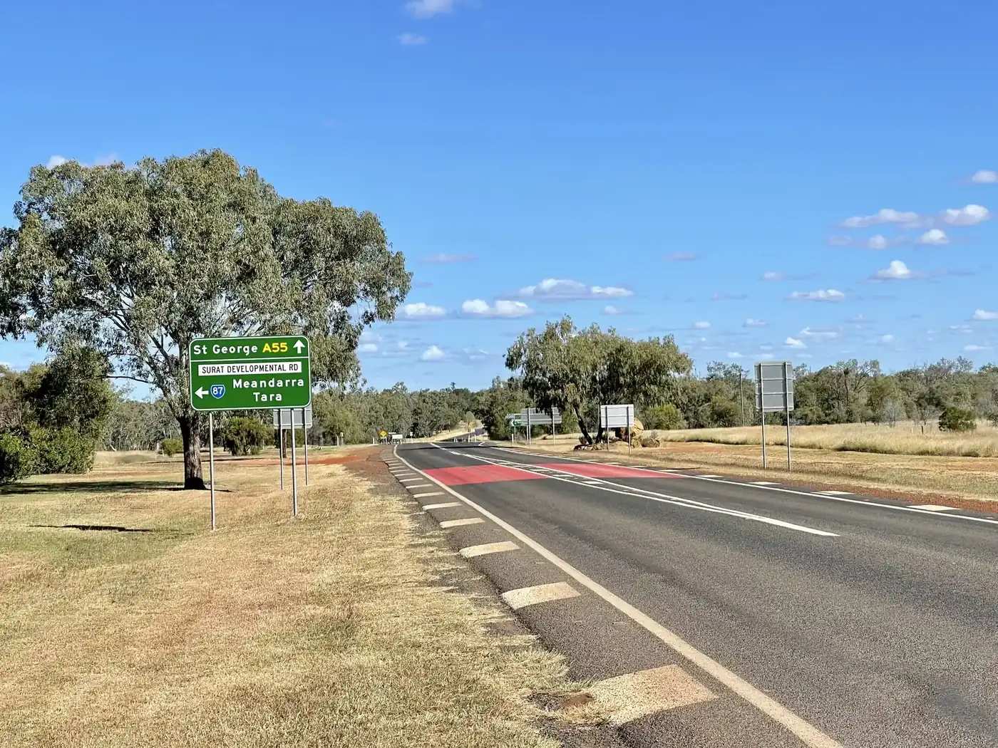
Surat
Surat travel guide: 78 km south of Roma on the Carnarvon Highway, Cobb & Co Changing Station, Balonne River parklands, Judd’s Lagoon camping and sealed highway access.
Read · 7 min
Queensland · South West
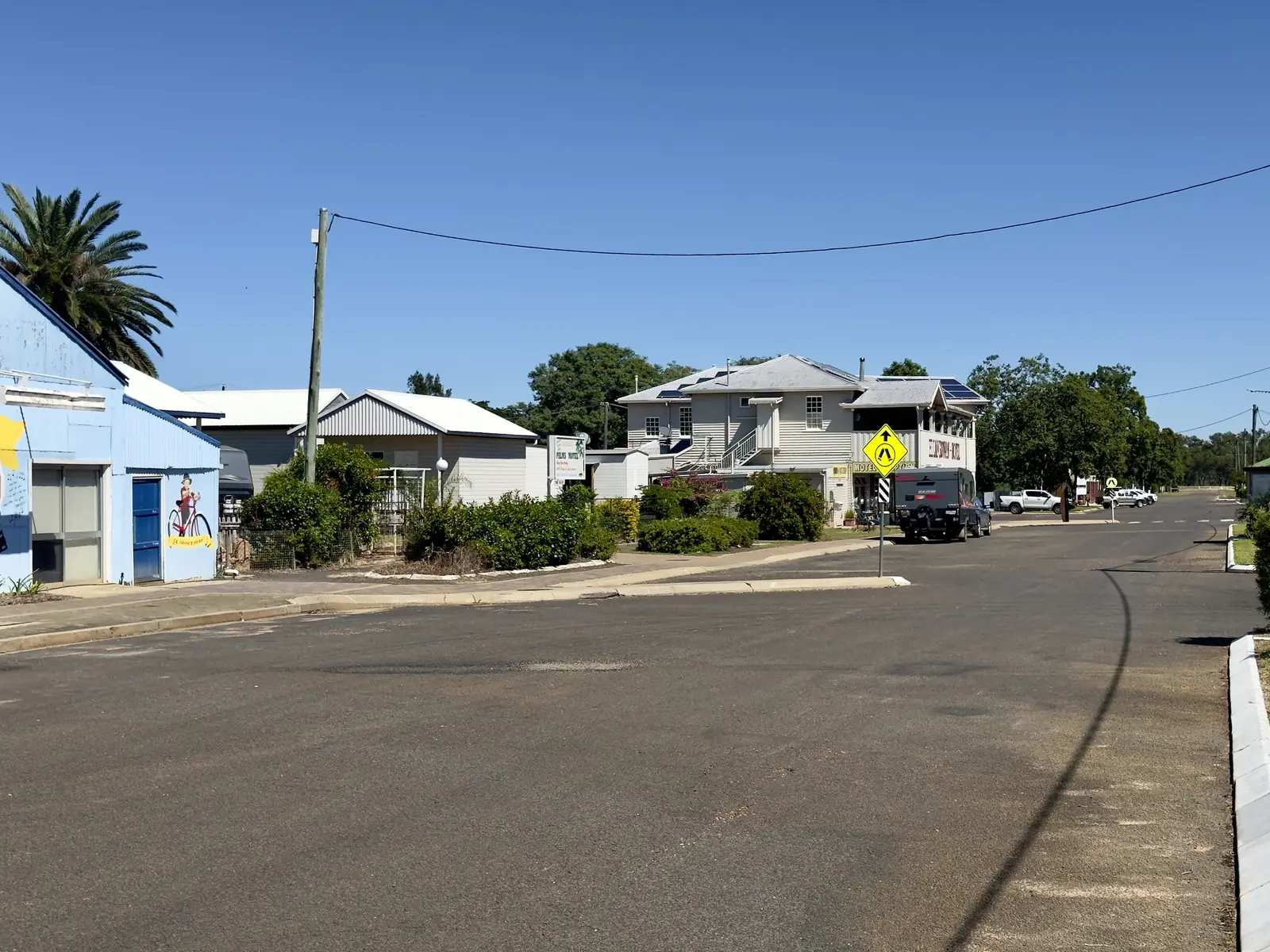
Augathella
Augathella travel guide: 84 km north of Charleville on the Matilda Way, Meat Ant Park, Kenniff Tree, visitor centre hours, camping types and QLDTraffic.
Read · 9 min
Queensland · South West
Nindigully
Nindigully travel guide: a tiny Balonne locality 45 km south-east of St George on the Moonie River — distinct from the Nindigully Pub — with Gully Walk, camping types and QLDTraffic.
Read · 8 min
Queensland · South West
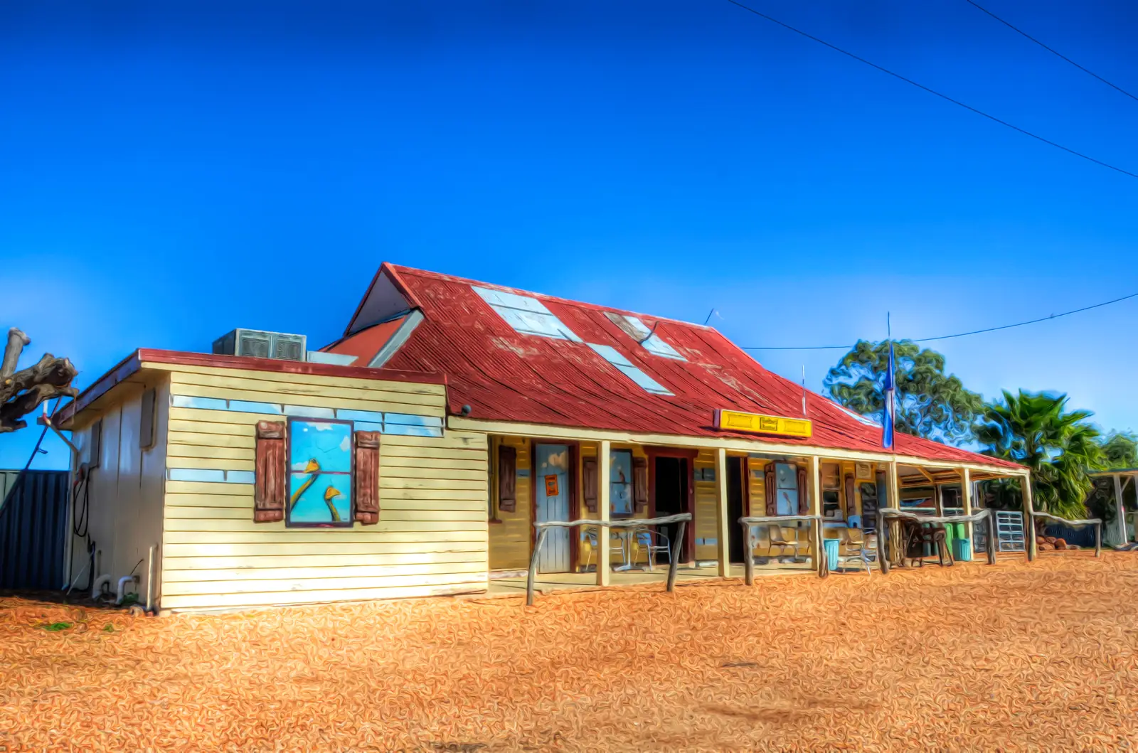
Hebel
Hebel travel guide: Balonne Shire border town on the Castlereagh Highway near Lightning Ridge, Historical Circle, Hebel Hotel, Bokhara River and Culgoa Floodplain National Park.
Read · 8 min
Queensland · South West
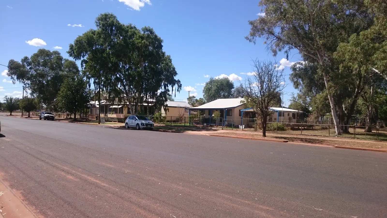
Eulo
Eulo travel guide: Paroo Shire town 67 km west of Cunnamulla on the Adventure Way — Eulo Queen story, artesian mud baths, mud springs, heritage trail and Paroo River camping.
Read · 8 min
Queensland · South West
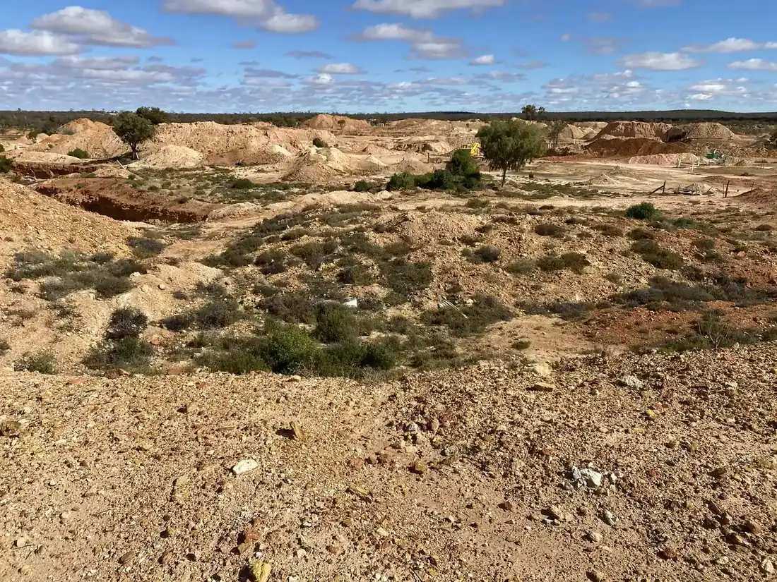
Yowah
Yowah travel guide: Paroo Shire opal field west of Cunnamulla — Yowah Nut fossicking, artesian baths, named camps and Adventure Way access. Sourced facts only.
Read · 9 min
Queensland · South West
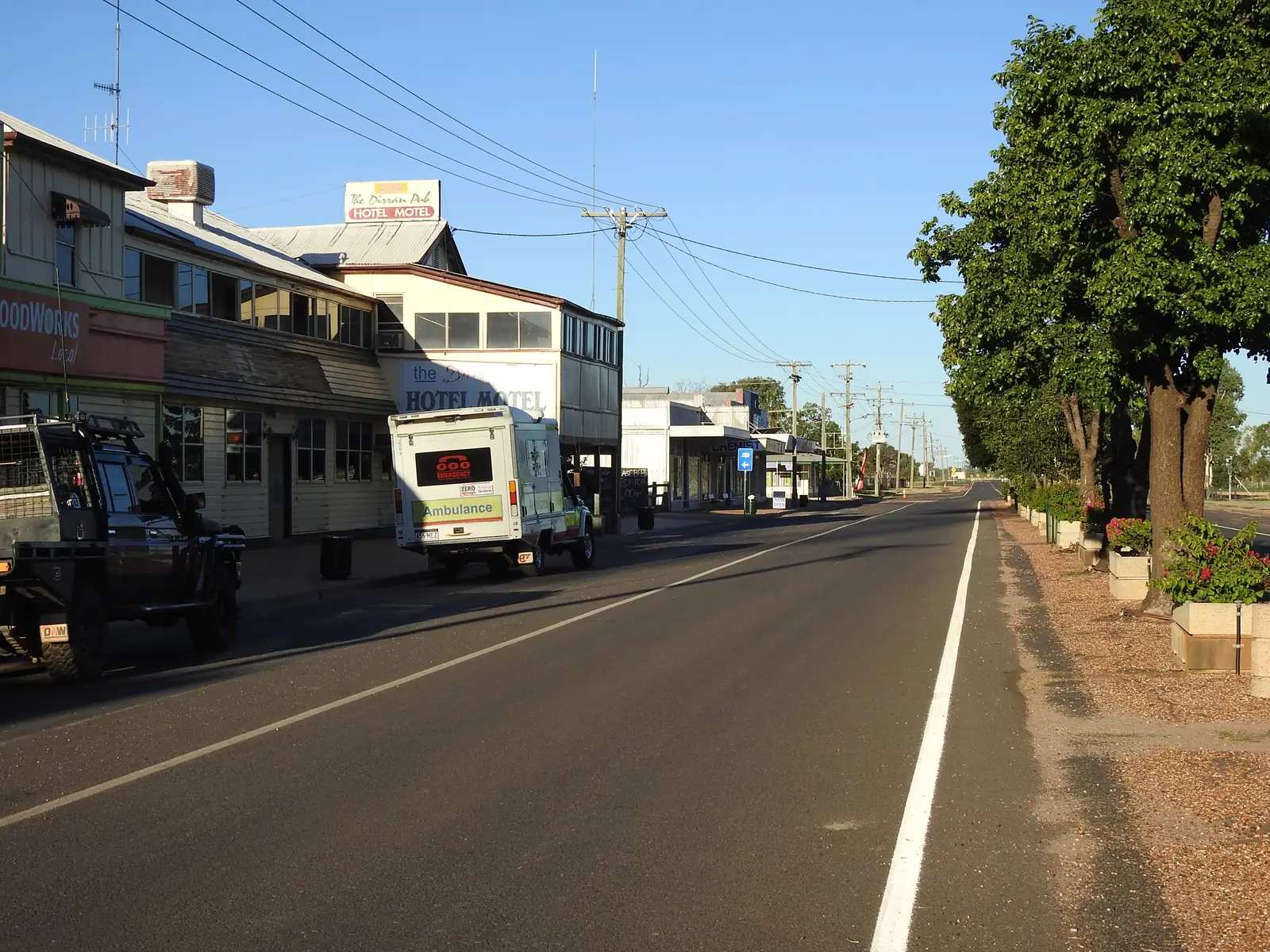
Dirranbandi
Dirranbandi travel guide: Balonne Shire cotton town — Cubbie Station, Mosaic Walk, last mail train precinct, Jack Dwyer Park. Sourced Census, BOM and council facts.
Read · 8 min
Queensland · South West
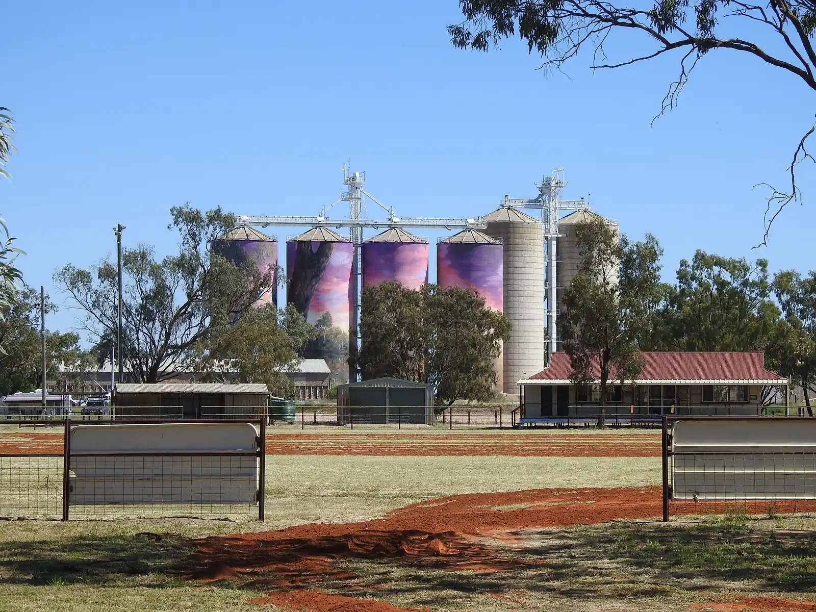
Thallon
Thallon travel guide: Balonne Shire silo-art town on the Carnarvon Highway — Watering Hole mural, Rogues Gallery, Francis Hotel, McGeever grounds. Sourced facts only.
Read · 7 min
Queensland · South West
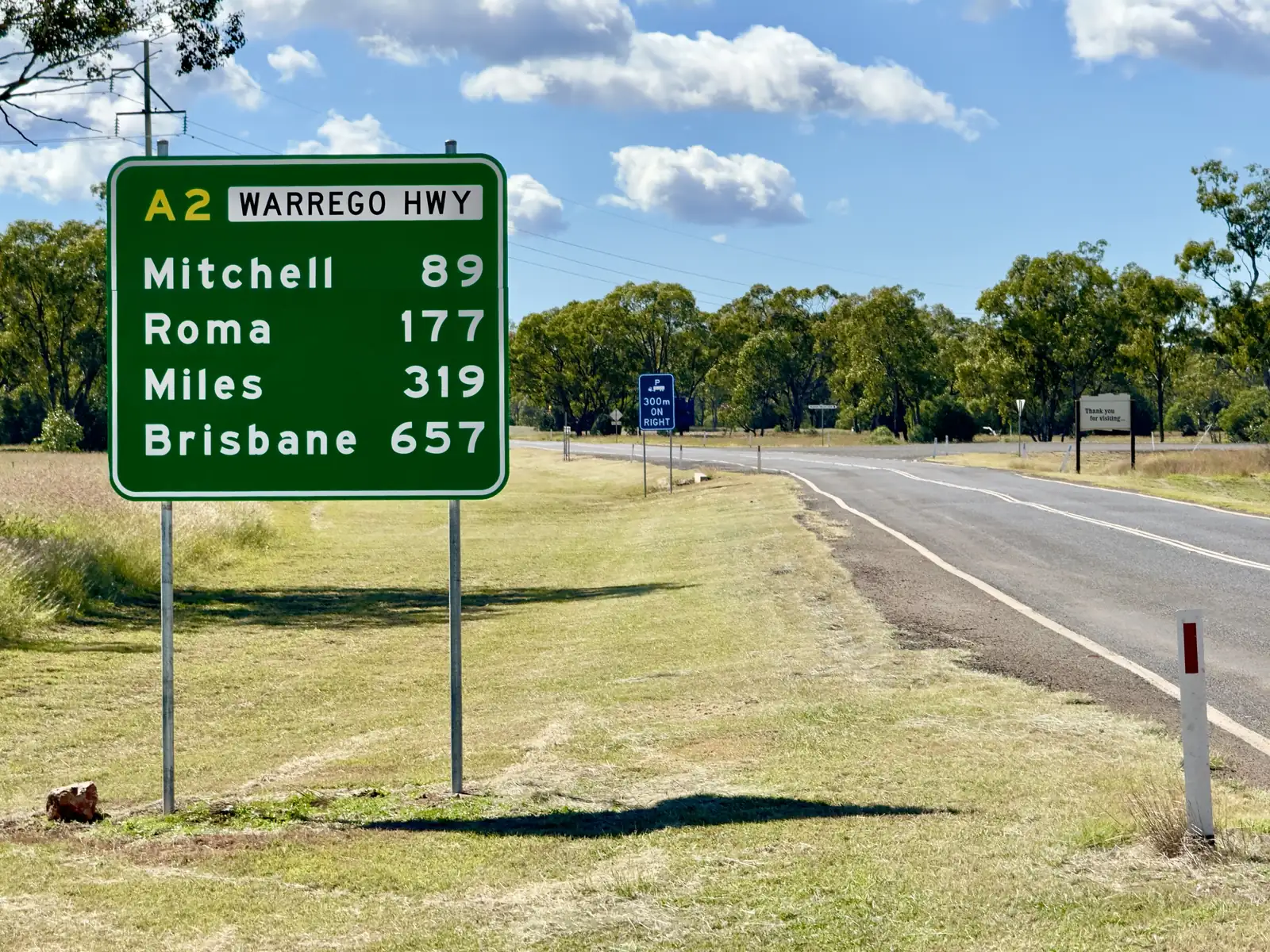
Morven
Morven travel guide: Murweh Shire town on the Warrego Highway — Historical Museum, tin hut, visitor centre and Tregole National Park 11 km south-west. Sourced facts only.
Read · 7 min
Queensland · South West
Jundah
Jundah travel guide: Barcoo Shire Channel Country town on the Thomson River — Heritage Trail, Shire Museum, Settler’s Nature Drive and Welford National Park 45 km south.
Read · 8 min
Queensland · South West
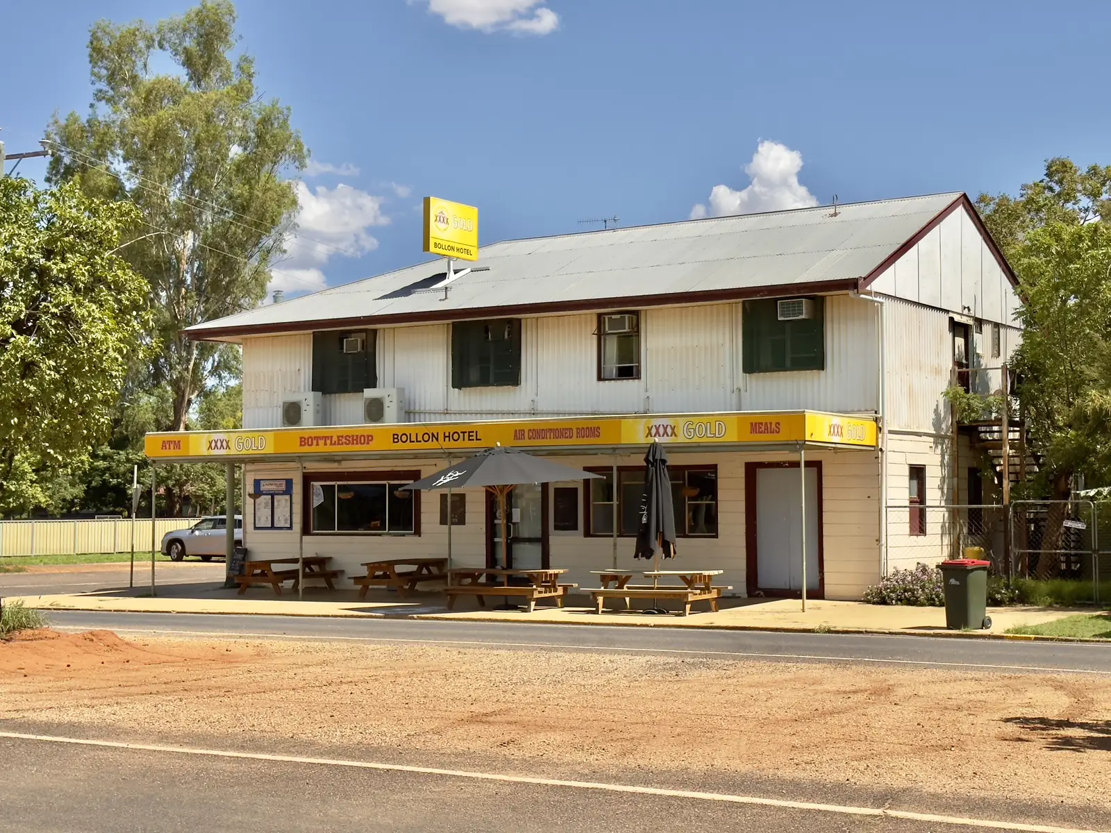
Bollon
Bollon travel guide: Balonne Shire town on Wallam Creek and the Adventure Way — free camp, Nullawokka First Nations Gallery, Heritage Centre and Thrushton National Park.
Read · 9 min
Queensland · South West
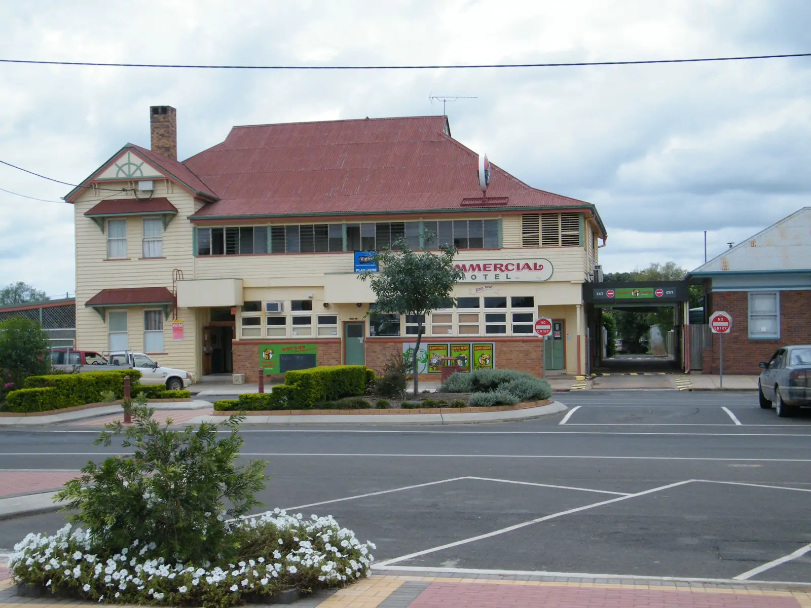
Tara
Tara travel guide: Western Downs town on the Surat Developmental Road off the Moonie Highway — lagoon parklands, museum, Sunset Way and the biennial Festival of Culture and Camel Races.
Read · 8 min
Queensland · South West
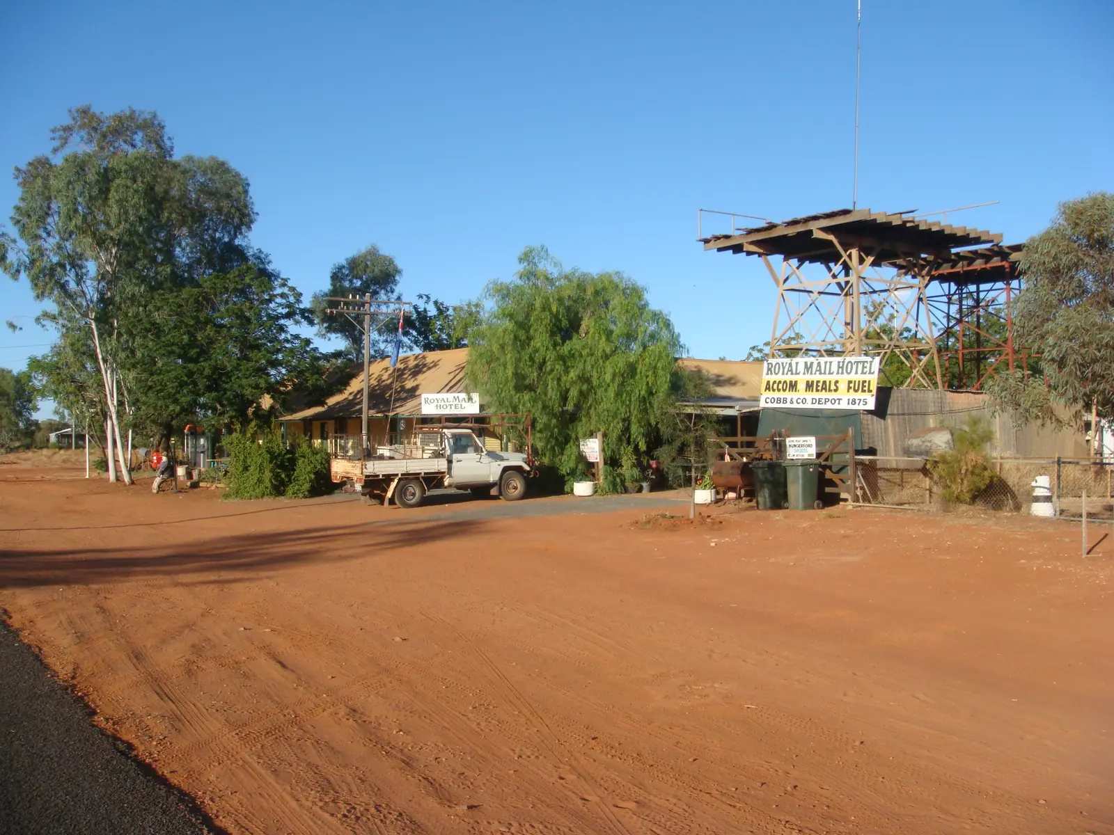
Hungerford
Hungerford travel guide: tiny Queensland–NSW border locality on the Paroo River and Dowling Track — Royal Mail Hotel, dog fence and Currawinya National Park 20 km north. Sourced facts only.
Read · 8 min
Queensland · South West
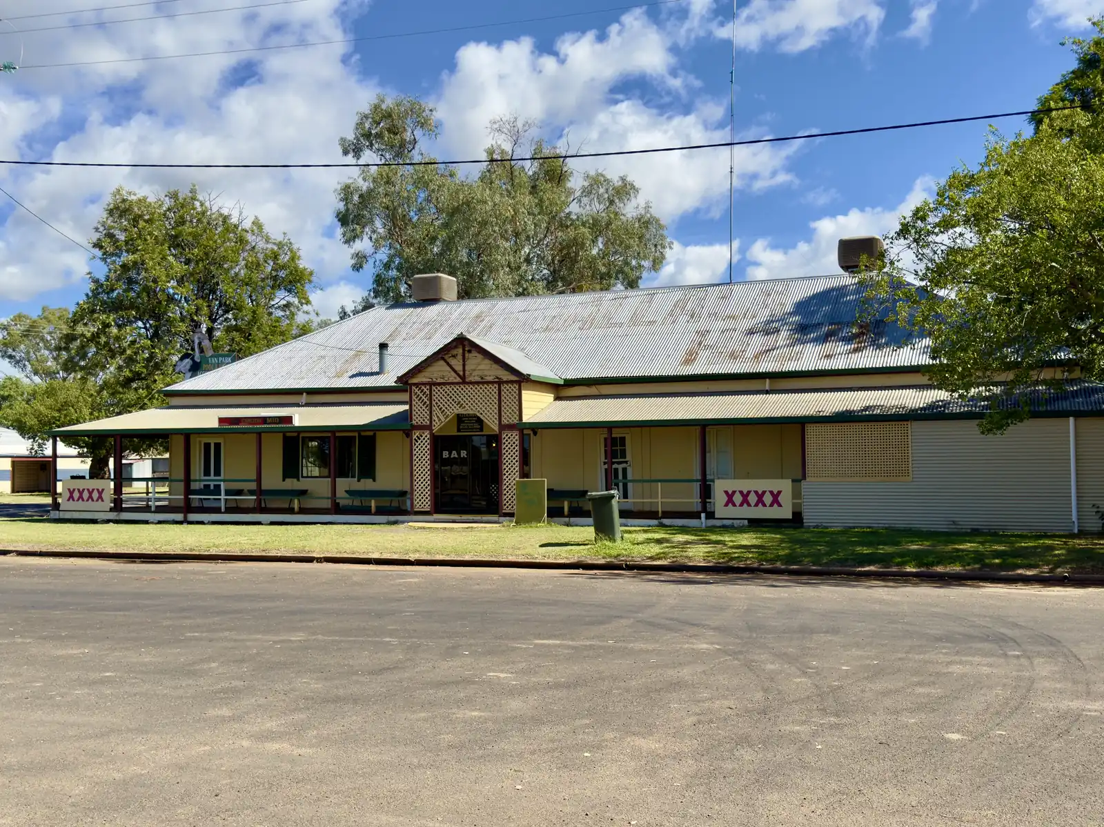
Mungallala
Mungallala travel guide: Maranoa locality on the Warrego Highway west of Mitchell — Club Hotel, Ooline Park and Dulbydilla Cemetery 18 km west. Sourced facts only.
Read · 6 min
Queensland · South West
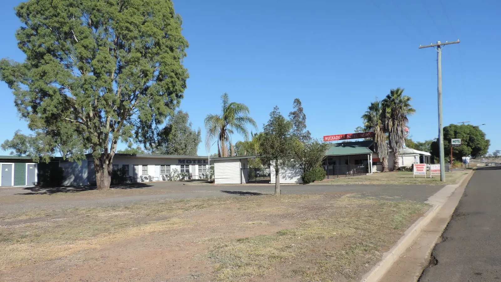
Muckadilla
Muckadilla travel guide: tiny Maranoa locality 41 km west of Roma on the Warrego Highway — Whistle Stop, Leichhardt memorial, Mucka Pub. Not a city. Sourced facts only.
Read · 6 min
Queensland · South West
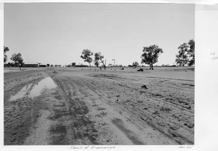
Eromanga
Eromanga travel guide: Quilpie Shire town on the Natural Sciences Loop — Eromanga Natural History Museum, Living History Centre, Cooper’s Country Lodge. Sourced facts only.
Read · 8 min
Queensland · South West
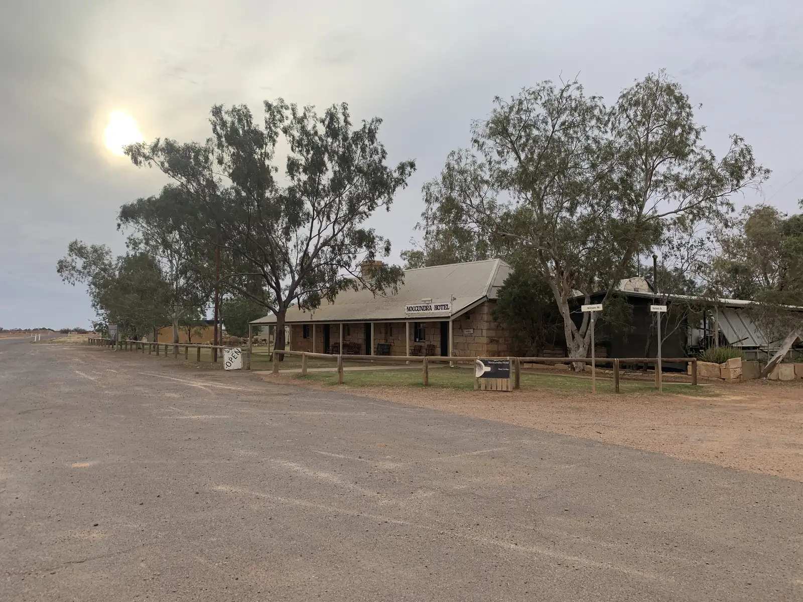
Noccundra
Noccundra travel guide: tiny Bulloo Shire locality west of Thargomindah — heritage Noccundra Hotel on the Wilson River, Adventure Way to Innamincka. Sourced facts only.
Read · 8 min
Queensland · South West
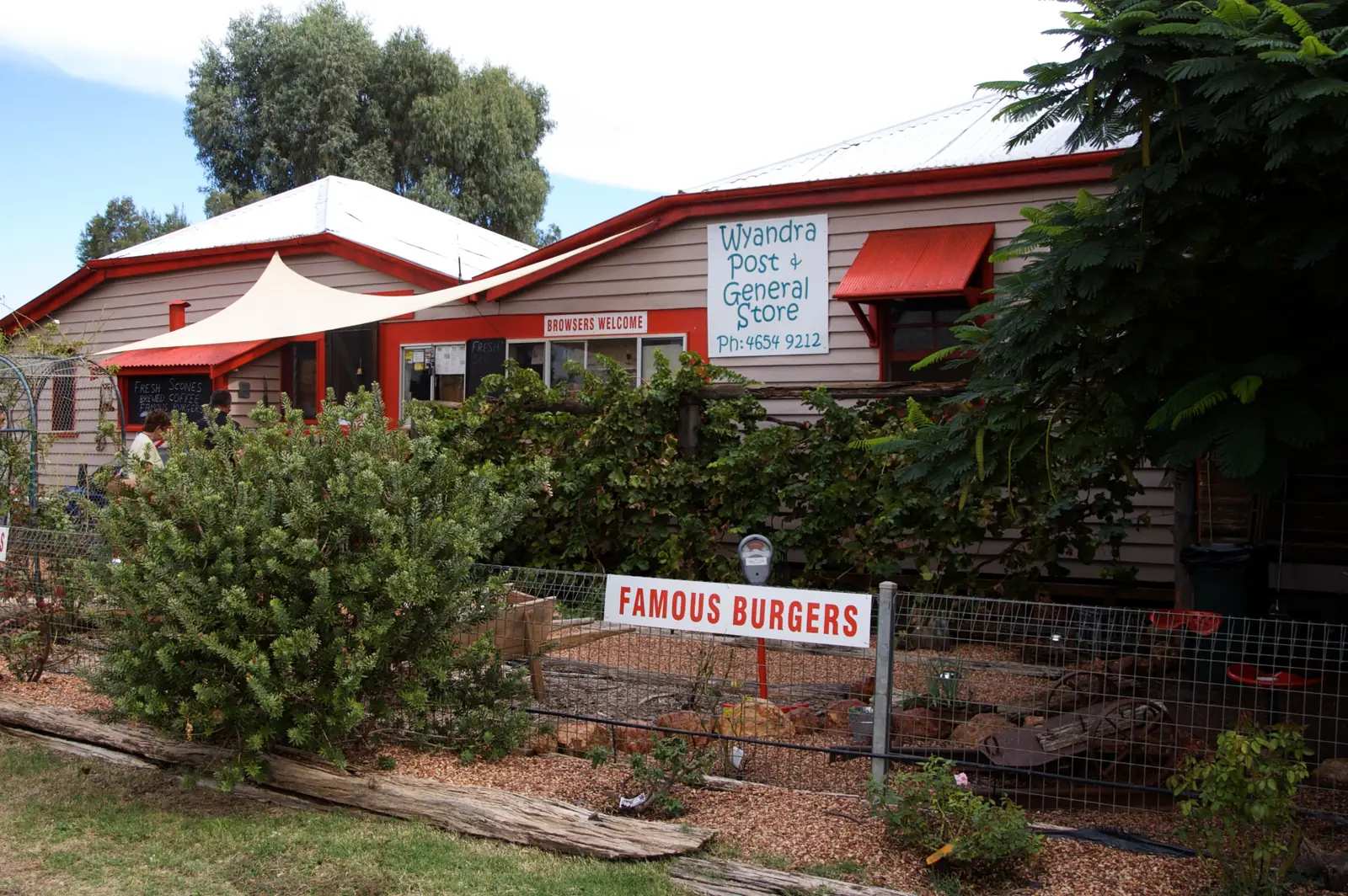
Wyandra
Wyandra travel guide: Paroo Shire town on the Warrego and Mitchell Highway between Charleville and Cunnamulla — Heritage Trail, The Beach, pub and free camp. Sourced facts only.
Read · 7 min
Queensland · South West
Adavale
Adavale travel guide: tiny Quilpie Shire locality — interpretive walk, Elegant Emu, no fuel on Queensland Parks’ wording, Hell Hole Gorge 69 km north-west. Sourced facts only.
Read · 8 min
Frequently asked questions
Which towns are in south-west Queensland?
This hub covers Charleville, Mitchell, Thargomindah, Cunnamulla, Windorah, Quilpie and St George, plus [Surat](/outback-towns/queensland/surat) on the Carnarvon Highway between Roma and St George.
How do you get there?
The Warrego Highway is the sealed route from Brisbane via Roma to Charleville and Cunnamulla. Queensland Rail's Westlander runs Brisbane to Charleville. Regional flights serve Charleville. Unsealed roads west of Quilpie and towards Windorah and Thargomindah close after rain — check QLDTraffic.
What is the Great Artesian Spa?
Mitchell's Great Artesian Spa is a public pool complex heated by bore water from the Great Artesian Basin. Thargomindah is known for an early hydro-electric plant driven by artesian water. Several south-west towns have spa or bore-bath facilities; check current hours with local visitor centres.
Is the road to Windorah and Birdsville sealed?
The Warrego and Mitchell highways to Charleville and Cunnamulla are sealed. West of Quilpie and towards Windorah, sections are unsealed. The Birdsville Developmental Road from Windorah has sealed and unsealed stretches and closes after rain.
Sources and further reading
Facts on this page were checked against these primary and official sources. Conditions change — confirm before you travel or buy.
- Outback Queensland — Outback Queensland Tourism Association
- QLDTraffic — Queensland Government
- Murweh Shire — visit Charleville — Murweh Shire Council
- Maranoa Regional Council — Surat — Maranoa Regional Council
- Queensland Rail Travel — Westlander — Queensland Rail
- Currawinya National Park — Queensland Parks and Wildlife Service