Weather advice for Woomera starts at the Bureau of Meteorology, not at a slogan. The official climate statistics page for Woomera Aerodrome, station number 016001, is the record used here. The station commenced in 1949. It sits at latitude 31.16°S, longitude 136.81°E, elevation 167 m. Product dates on the BOM pages cited in our Wave 1 research were 14 November 2026; means shift as extra years are added, so open the BOM table before you treat a figure as current.
This page does not invent monthly rainfall columns, overnight minima, or “record highs” that are not in the facts file. It uses the published annual mean rainfall and the hottest and coolest months defined by mean maximum temperature.
Rainfall
Mean annual rainfall: 183.0 mm, from 75 years of record (1949–2026) on that table. That is arid, even by South Australian outback standards. It explains dusty verges, hard ground, and why a rare wet year can close dirt roads that looked harmless on a blog.
Rain in this climate is unreliable. An annual mean is not a promise that your week will be dry — or that a storm cannot flood a creek on an unsealed track. For dirt, always use DIT outback road warnings. For the Stuart Highway bitumen, use Traffic SA.
Temperature
- Hottest month mean maximum: January 34.8°C.
- Coolest month mean maximum: July 17.1°C.
Those are monthly mean maxima, not the hottest afternoon you might draw in a heatwave, and not overnight lows. January days at 34.8°C on average still sit in the range where heat illness is a planning issue on a long sealed drive with a broken air-conditioner. July’s 17.1°C mean maximum describes milder days; it does not tell you how cold the night will be. Pack layers in winter because desert and near-desert nights often drop well below the daytime figure — we do not attach an invented minimum.
See summer heat if you are moving through in December–February, and best time to visit for the cooler-season pattern across inland Australia.
When to go
Most Stuart Highway travellers choose the cooler months, roughly April to October, for the same reasons they choose them for Coober Pedy: less extreme daytime heat, more predictable touring. Woomera’s museum and park are indoor/outdoor stops; January heat makes the Missile Park a short walk with water in hand.
There is no wet-season road closure pattern here like Cape York. The risk on dirt is episodic rain plus Defence closures, not a calendar monsoon. Village access on authorised sealed routes does not depend on a tourist season, but Heritage Centre hours can. Confirm locally.
What climate does not decide
- Permits. Heat or cold does not open the Anne Beadell Highway. Defence permits and the 1300 WPA DEL line do.
- Lake Gairdner. Salt-lake access follows Parks SA rules, not a Woomera forecast.
- How far you drive. Defence’s published distance is the WPA, about 450 km north-west of Adelaide. Village kilometres are unpublished on that page; climate does not fill them in.
On the road
Woomera is a highway stop. Plan around:
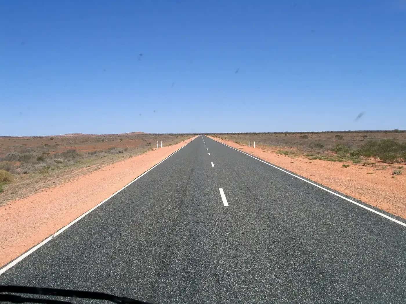
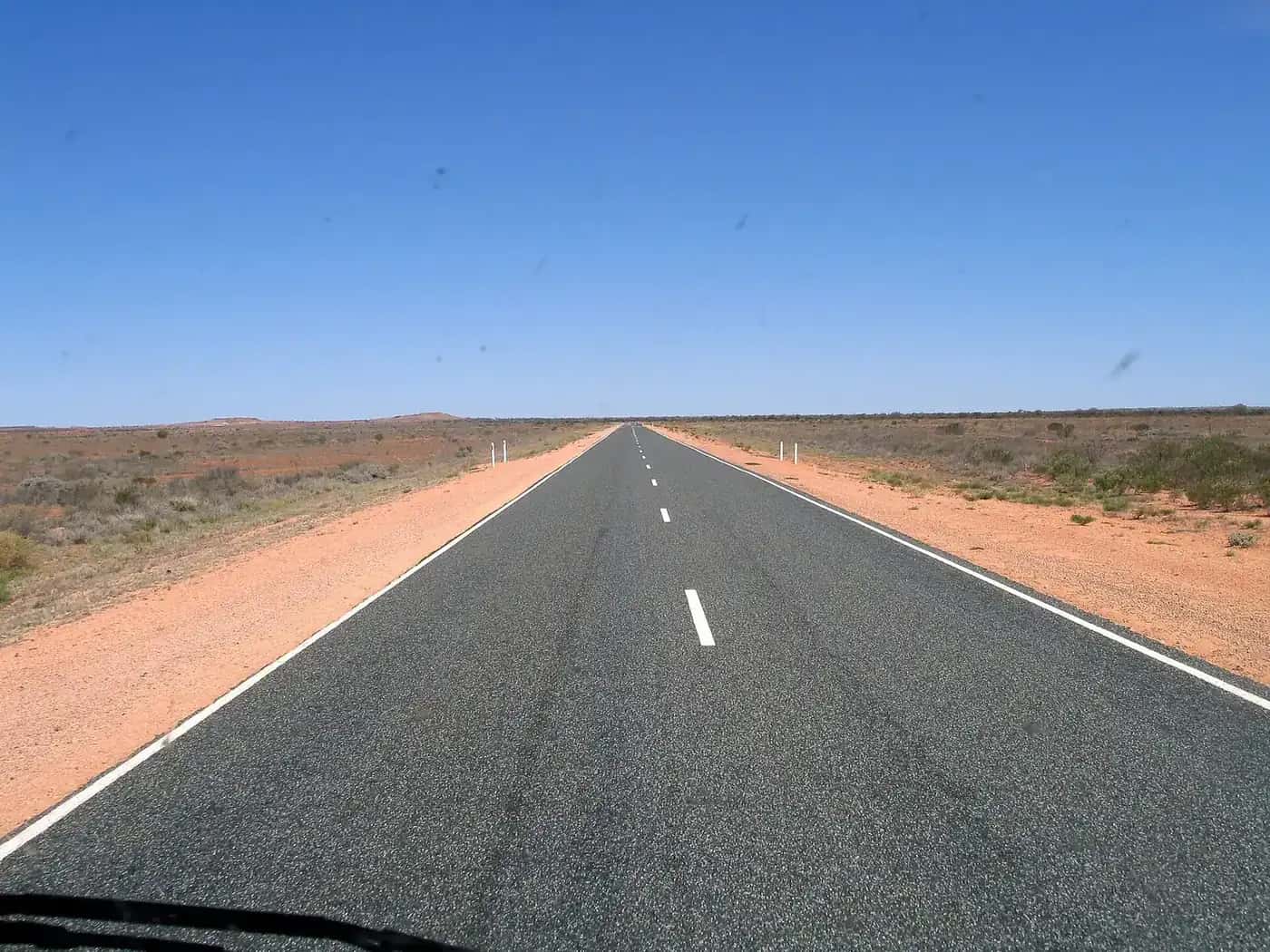
- Glare and fatigue on long straight bitumen.
- Wildlife at dawn, dusk and night — kangaroo driving safety.
- Water, even in July, because services in a town of 132 people (ABS 2021 UCL) are limited.
- Wind and dust as ordinary arid-zone conditions; we do not quote unofficial dust-storm counts.
Forecasts belong on BOM’s town/aerodrome forecast pages, which are not the same as the climate averages table. Use both: averages for packing, forecasts for the day you turn off at Pimba.
Back to the Woomera guide, things to do, and accommodation.
Plan this trip
Tell us the dates, who you are travelling with and where you need help. We reply with planning notes for Woomera — we are not a booking agent.
Frequently asked questions
How dry is Woomera?
Mean annual rainfall at Woomera Aerodrome is 183.0 mm (75 years, 1949–2026) on the Bureau of Meteorology climate averages table.
What is the hottest month in Woomera?
January has the highest mean maximum, 34.8°C, at Woomera Aerodrome (BOM).
What is the coolest month?
July has the lowest mean maximum, 17.1°C, at the same station.
Sources and further reading
Facts on this page were checked against these primary and official sources. Conditions change — confirm before you travel or buy.
- Climate statistics for Woomera Aerodrome (016001) — Bureau of Meteorology
- Woomera Aerodrome station information — Bureau of Meteorology
- Traffic SA — Government of South Australia
- Outback road warnings — Department for Infrastructure and Transport SA