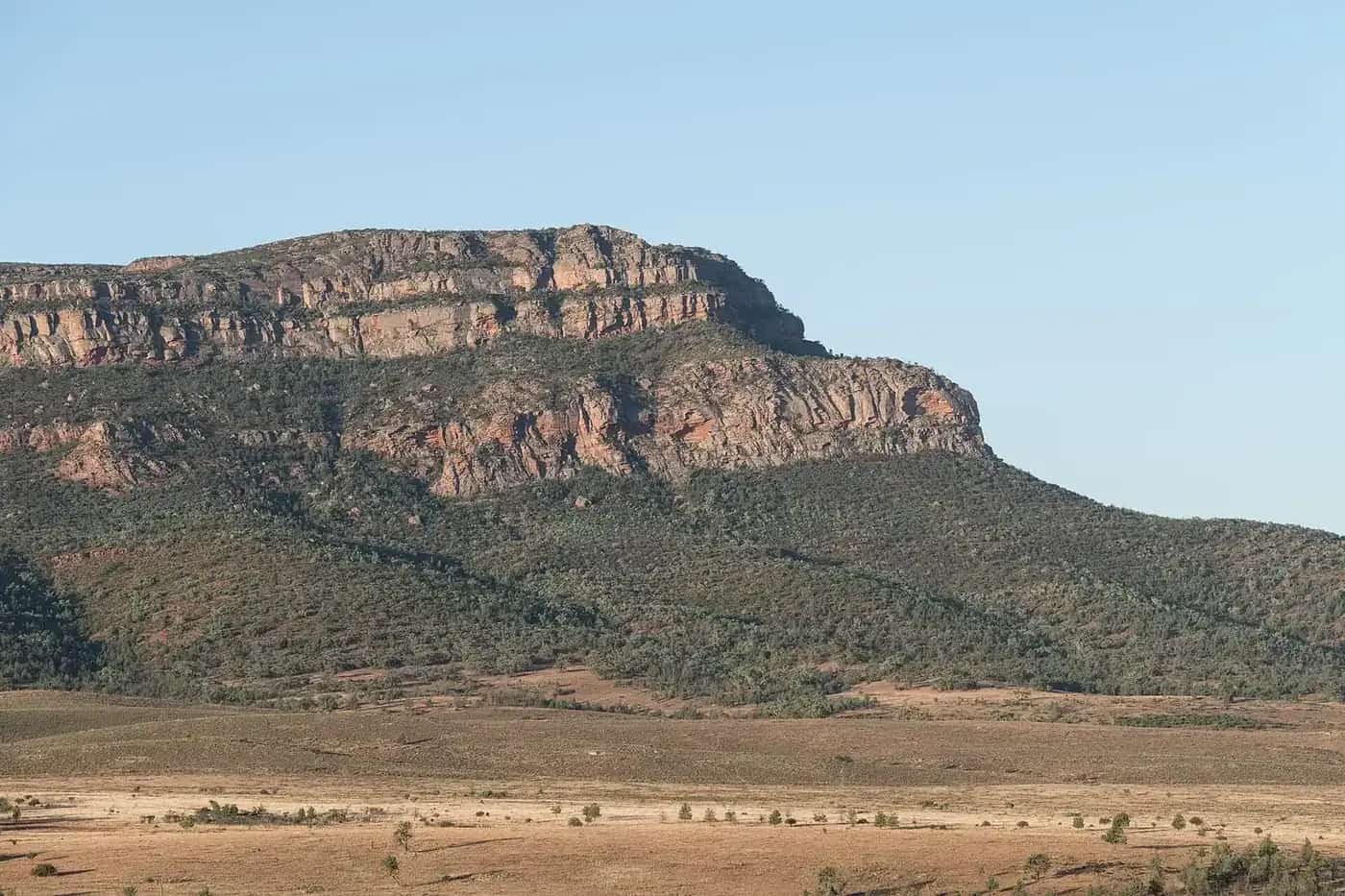
Most of South Australia north of Port Augusta is outback: the driest state in a dry continent, running up the Stuart Highway to the Northern Territory, east to the Corner Country and west towards the Nullarbor. This town hub covers the far-north service towns and track junctions in the original Outback Now "outback SA" region. The Flinders Ranges have their own hub. Official road advice comes from DIT's outback road warnings; park advice from National Parks and Wildlife Service SA.
Town guides
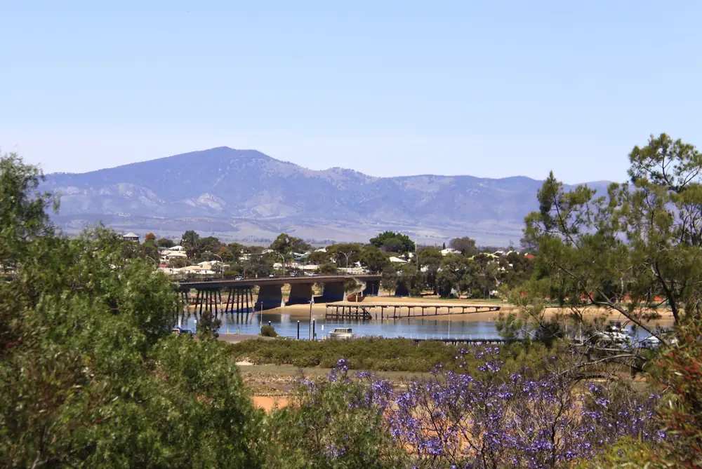
Port Augusta sits at the head of Spencer Gulf, about 300 km north of Adelaide, where the Stuart, Eyre and Augusta highways meet. It is the main gateway to the Flinders and the start of the sealed run to Darwin. The Wadlata Outback Centre is the visitor information stop; the Australian Arid Lands Botanic Garden is the other essential hour in town.
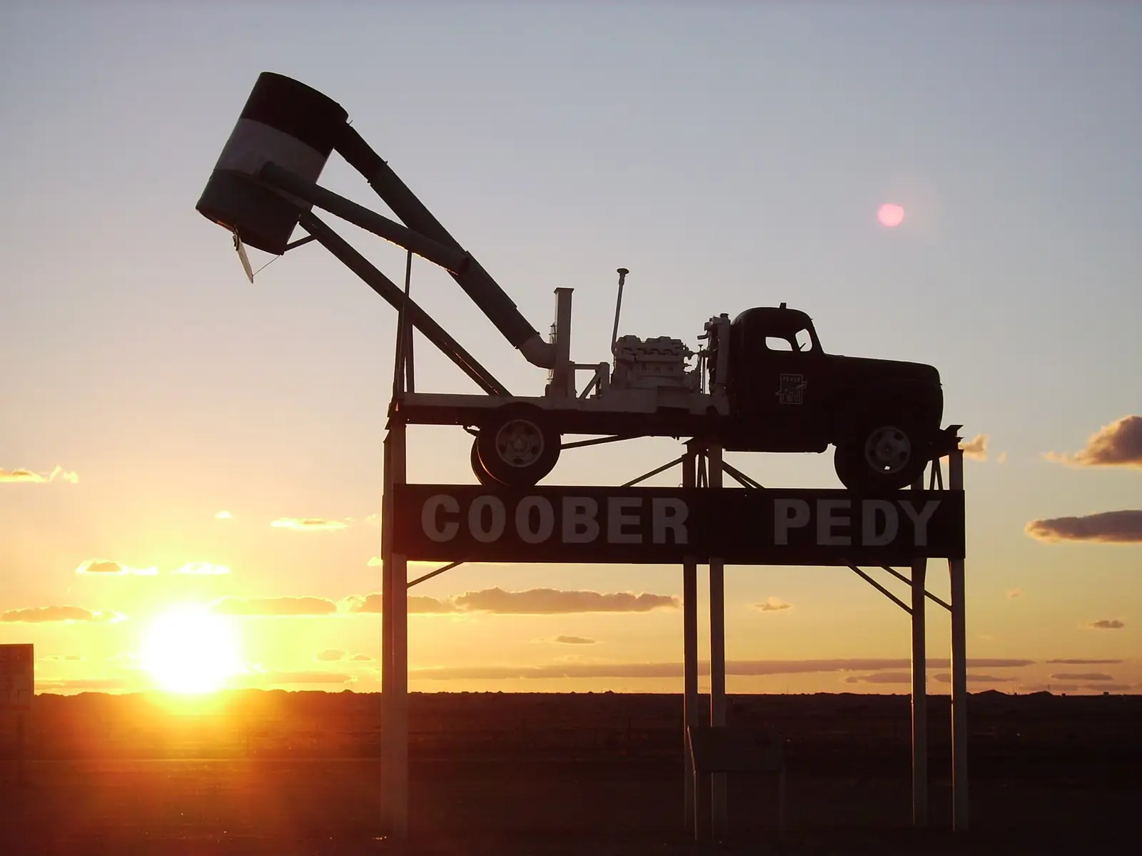
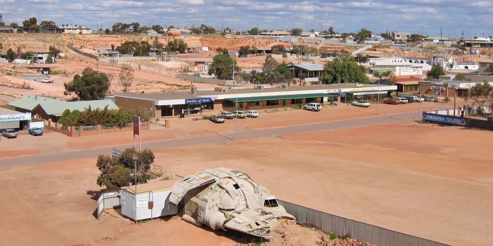
Coober Pedy produces much of the world's opal. Many residents live in dugouts to escape the heat. Mine tours, underground churches, noodling on the fields, Kanku-Breakaways Conservation Park and the Dog Fence are the usual two-day list. Unmarked shafts make the fields dangerous after dark. The town supply is treated Great Artesian Basin bore water.
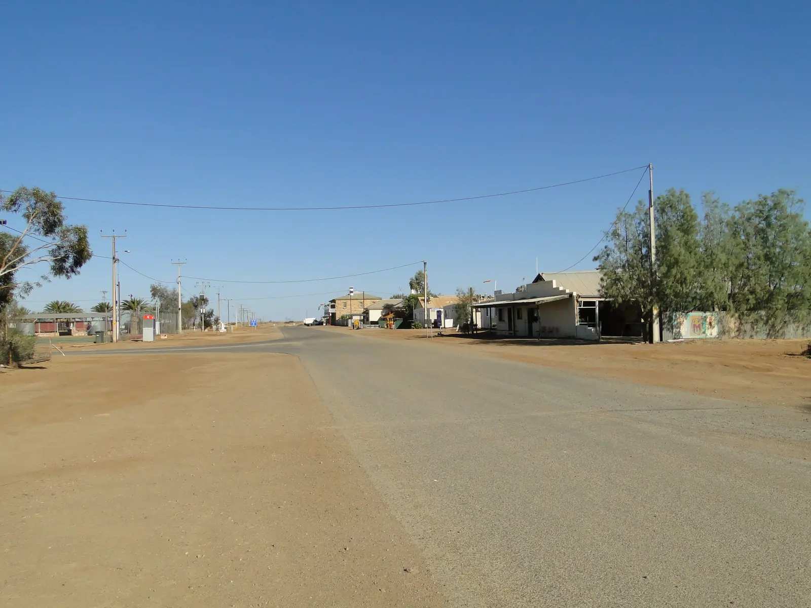
Marree is the junction of the Oodnadatta Track and the Birdsville Track. Afghan cameleer heritage and the old Ghan railway shape the town. It is a launch point for scenic flights over Kati Thanda–Lake Eyre.
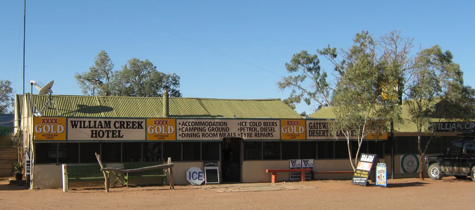
William Creek is a hotel, campground and airstrip on the Oodnadatta Track — one of the state's smallest towns and one of the best places for a Lake Eyre flight. Mound springs sit along this old Ghan corridor.
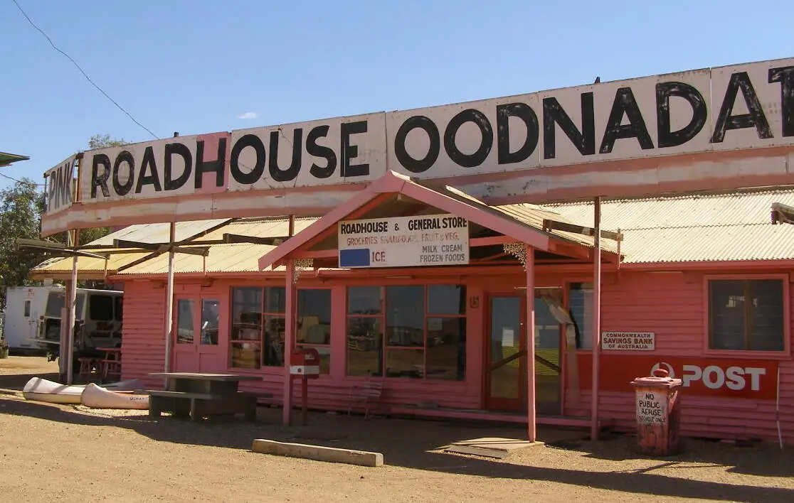
Oodnadatta is further along the same track, known for the Pink Roadhouse, railway history and some of the highest temperatures recorded in Australia. It is on Arabana Country and a gateway to Witjira National Park and Dalhousie Springs (Desert Parks Pass required).
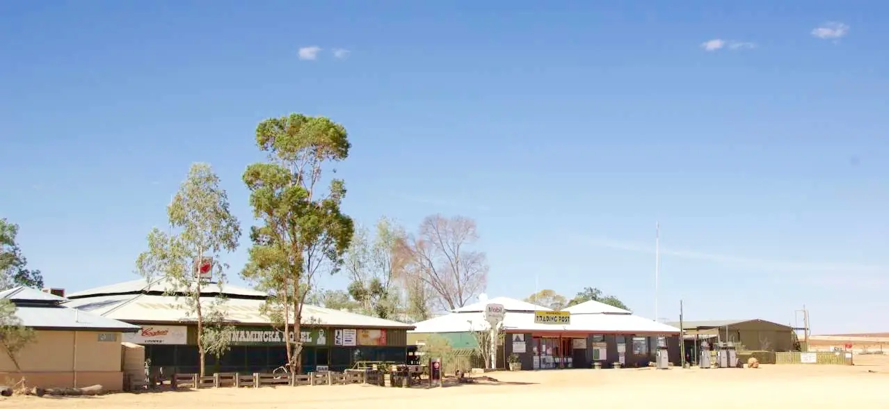
Innamincka sits on Cooper Creek at the top of the Strzelecki Track. The Burke and Wills story is told at the Dig Tree on the Queensland side of the border. Innamincka Regional Reserve and nearby Malkumba-Coongie Lakes need park passes and a close eye on road reports.
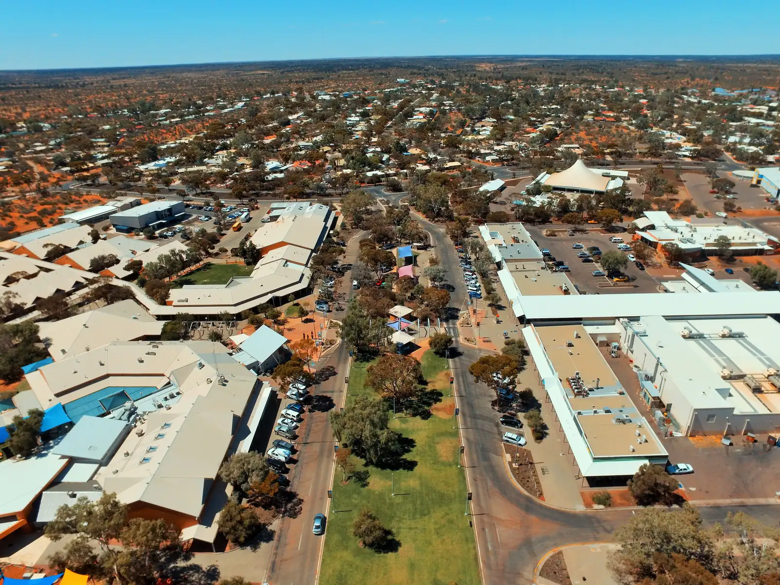
Roxby Downs is the modern town built in 1988 for the Olympic Dam copper, uranium, gold and silver mine, about 560 km north of Adelaide. It is a base for the Arid Recovery reserve and for Andamooka, which sits in the Flinders Ranges hub.
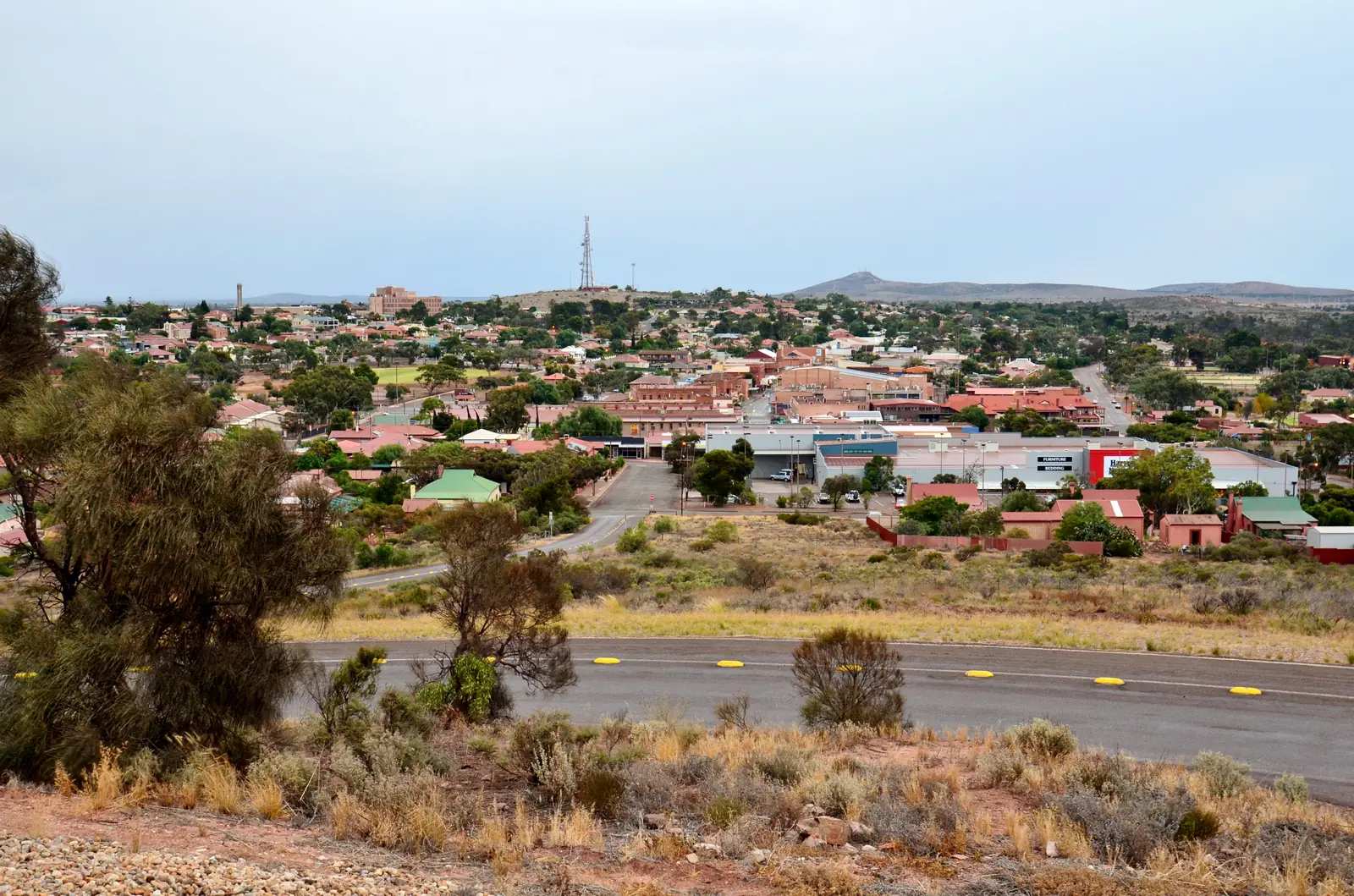
Whyalla is the Spencer Gulf steel city and a northern Eyre Peninsula service base, on a different highway to Ceduna.
Marla is the Stuart Highway roadhouse junction with the northern end of the Oodnadatta Track, south of the NT border.
Woomera and Ceduna
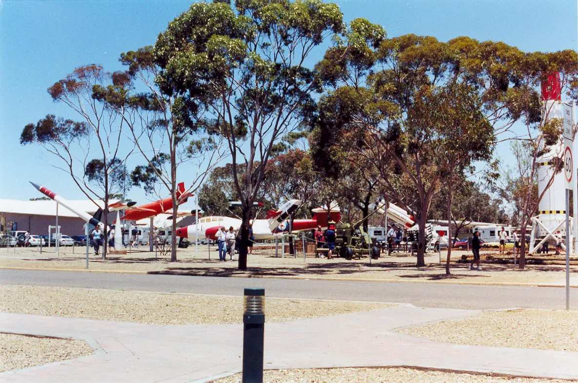
- Woomera. The village is reached from the Stuart Highway at Pimba. The Department of Defence says you do not need a Woomera Prohibited Area permit if you stay on authorised routes including the village and the Stuart Highway. Other tracks, including the Anne Beadell Highway, need a Defence tourist permit and can close for range use. The WPA is about 450 km north-west of Adelaide and about 122,000 km². The 2021 Census counted 132 people in the Woomera urban centre. Bureau of Meteorology averages for Woomera Aerodrome show mean annual rainfall of 183.0 mm, a January mean maximum of 34.8°C and a July mean maximum of 17.1°C. The Heritage and Visitor Information Centre / rocket-range museum and Aircraft and Missile Park are the public attractions. Confirm hours locally.
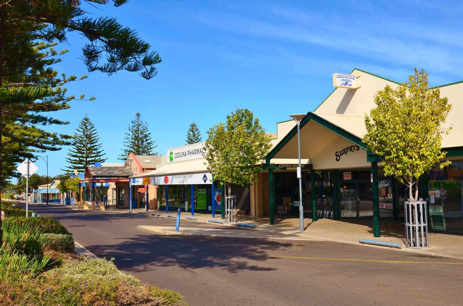
- Ceduna is 780 km west of Adelaide on the Eyre Highway — about 8.5 hours, and about 1,900 road kilometres from Perth — the last major service town before the Nullarbor. Ceduna Tourism acknowledges the Mirning, Kokatha and Wirangu peoples. The 2021 urban centre population was 2,290. BOM averages for Ceduna AMO show 291.3 mm of rain a year, wetter in winter. The visitor centre is at 58 Poynton Street; Nullarbor Links scorecards are sold there. Oysterfest is on the October long weekend.
- Glendambo is the Stuart Highway roadhouse locality between Woomera and Coober Pedy.
- Penong is the Eyre Highway town west of Ceduna, with the windmill museum on SATC pages.
- Yunta and Olary sit on the Barrier Highway toward Broken Hill.
- Cockburn is the Barrier Highway SA border locality (not City of Cockburn in Western Australia).
- Pimba is the Stuart Highway junction for Woomera.
- Iron Knob is the Eyre Highway iron-ore town in the Whyalla hinterland (not Iron Knob WA).
- Kimba is the Eyre Highway “halfway across Australia” town on SATC pages (not Kimba Qld).
- Fowlers Bay is the Far West Coast Bight township south of the Eyre Highway (not Fowlers Bay WA).
- Cadney is the Stuart Highway roadhouse (Cadney Park / Cadney Homestead) between Marla and Coober Pedy.
- Nundroo is the Eyre Highway roadhouse west of Penong and Ceduna.
- Border Village is the SA Nullarbor border roadhouse (not Eucla in Western Australia).
- Yalata is the Far West Aboriginal community — official community and SATC wording only.
- Wudinna is the Eyre Highway town and a named Gawler Ranges approach.
- Minnipa is the Eyre Highway granite / Tcharkuldu locality west of Wudinna.
- Kingoonya is the Trans-Australian Railway locality (South Australia, not a NSW spelling).
- Tarcoola is the Trans-Australian / Ghan railway junction (South Australia, not Tarcoola Victoria).
- Poochera is the Eyre Highway locality west of Minnipa.
The three tracks
- Oodnadatta Track — Marree to Marla via William Creek and Oodnadatta, following the old Ghan and a line of mound springs.
- Birdsville Track — Marree to Birdsville, about 520 km of gibber and sand.
- Strzelecki Track — Lyndhurst to Innamincka through Cooper Basin oil and gas country.
All three are unsealed, close after rain, and demand a high-clearance vehicle, spare tyres, extra fuel and water. There is no substitute for the morning DIT report. See fuel, permits and road conditions.
Parks, permits and seasons
A Desert Parks Pass covers several SA desert parks. The APY Lands and Maralinga Tjarutja Lands require their own permits. Kati Thanda–Lake Eyre is jointly managed with the Arabana people; visitors are asked not to walk or drive on the lakebed. The lake is usually dry; Channel Country floods occasionally fill parts of it.
Autumn, winter and spring are the main seasons. The far north is best from about May to September. Simpson Desert parks close over summer. Port Augusta and the Eyre Highway can be travelled year-round, with summer heat still a factor.
A suggested trip
A classic loop from Adelaide runs through the Flinders Ranges to Marree, along the Oodnadatta Track to William Creek and Coober Pedy, then south on the Stuart Highway. Allow at least ten days. Innamincka is a separate eastward expedition via the Strzelecki. Visitor centres in Port Augusta, Coober Pedy and Roxby Downs, and the roadhouses at Marree, William Creek and Oodnadatta, are the places to re-check roads.
See the outback South Australia state guide and outback South Australia road trip.
Towns in this region
Outback South Australia
Coober Pedy
Coober Pedy guide: underground homes, churches and hotels, opal mine tours and noodling, the Breakaways, the Dog Fence and how many days to stay.
Read · 8 min
Outback South Australia
Marree
Marree, South Australia: Ghan railway and Afghan cameleer heritage, the start of the Oodnadatta and Birdsville tracks and Lake Eyre flights.
Read · 5 min
Outback South Australia
William Creek
William Creek, South Australia: one of the state's smallest towns, the historic hotel, Lake Eyre scenic flights, mound springs and Oodnadatta Track tips.
Read · 5 min
Outback South Australia
Innamincka
Innamincka, South Australia: Cooper Creek waterholes, the Dig Tree and Burke and Wills sites, Innamincka Regional Reserve, Coongie Lakes and road access.
Read · 5 min
South Australia · Far North
Oodnadatta
Oodnadatta travel guide: the Pink Roadhouse, the old Ghan railhead, Australia's temperature record, Arabana Country, Witjira and Dalhousie Springs.
Read · 6 min
South Australia · Far North
Roxby Downs
Roxby Downs travel guide: the town built for the Olympic Dam mine, the Arid Recovery reserve, Andamooka nearby and travel tips.
Read · 6 min
Outback South Australia
Woomera
Woomera, South Australia: the Defence village off the Stuart Highway at Pimba, Heritage Centre and Missile Park, permit rules, population 132, and how to get there.
Read · 8 min
Outback South Australia
Ceduna
Ceduna, South Australia: last major service town before the Nullarbor on the Eyre Highway, 780 km from Adelaide, visitor centre, oysters, Nullarbor Links and how to get there.
Read · 6 min
South Australia · Upper Spencer Gulf
Port Augusta
Port Augusta travel guide: the crossroads of the Stuart, Eyre and Augusta highways, the Australian Arid Lands Botanic Garden and Wadlata Outback Centre.
Read · 6 min
South Australia · Outback SA
Whyalla
Whyalla travel guide: Spencer Gulf steel city and SA outback gateway on the Lincoln Highway, visitor centre, HMAS Whyalla, steelworks tours, cuttlefish season and sealed-road access.
Read · 6 min
South Australia · Outback SA
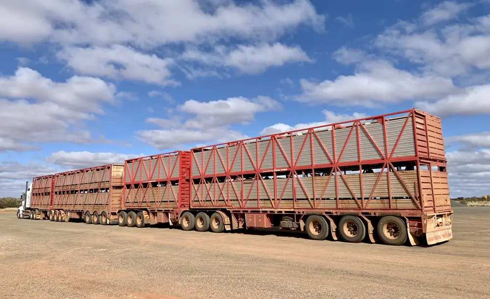
Marla
Marla travel guide: Stuart Highway service town and north-west end of the Oodnadatta Track, 2021 Census, closed BOM climate table, sealed versus dirt access.
Read · 6 min
South Australia · Outback SA
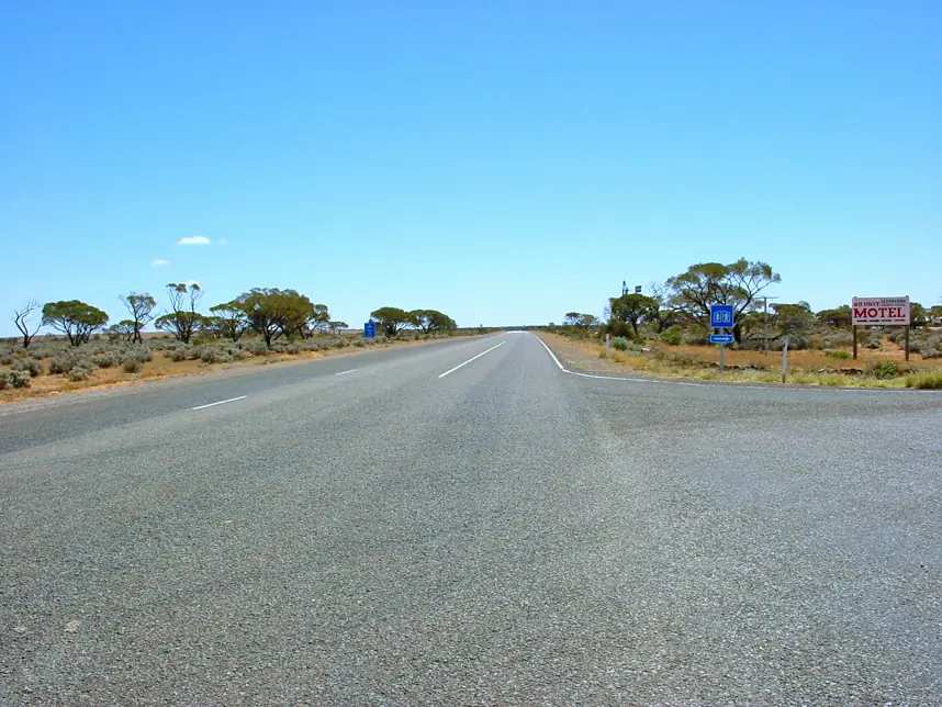
Glendambo
Glendambo travel guide: Stuart Highway fuel and sleep stop south of Coober Pedy. ABS 2021 SAL40504 publishes no people count. Lake Gairdner access toward Glendambo. Official SATC / Parks SA / DIT / BOM only.
Read · 7 min
South Australia · Outback SA
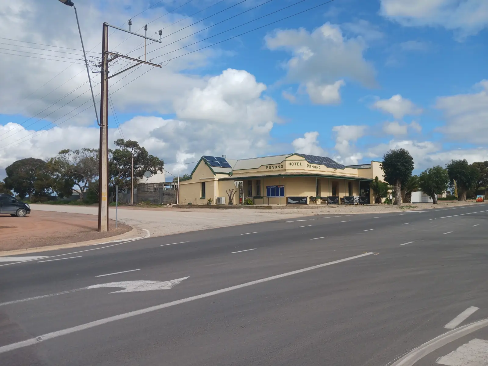
Penong
Penong travel guide: Eyre Highway town west of Ceduna, SATC Windmill Museum including Bruce, Penong Caravan Park, Cactus Beach and Lake MacDonnell. ABS 2021 SAL41138: 280 people.
Read · 7 min
South Australia · Outback SA
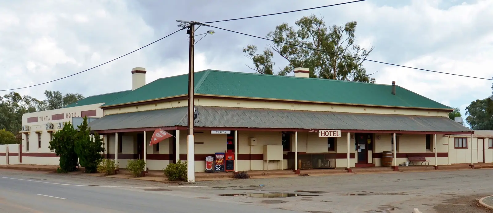
Yunta
Yunta travel guide: SATC Heritage Rail Trail town on the Barrier Highway between Peterborough country and Broken Hill. ABS 2021 SAL41695: 60 people. BOM Yunta Airstrip. Official SATC / DIT / BOM only.
Read · 7 min
South Australia · Outback SA
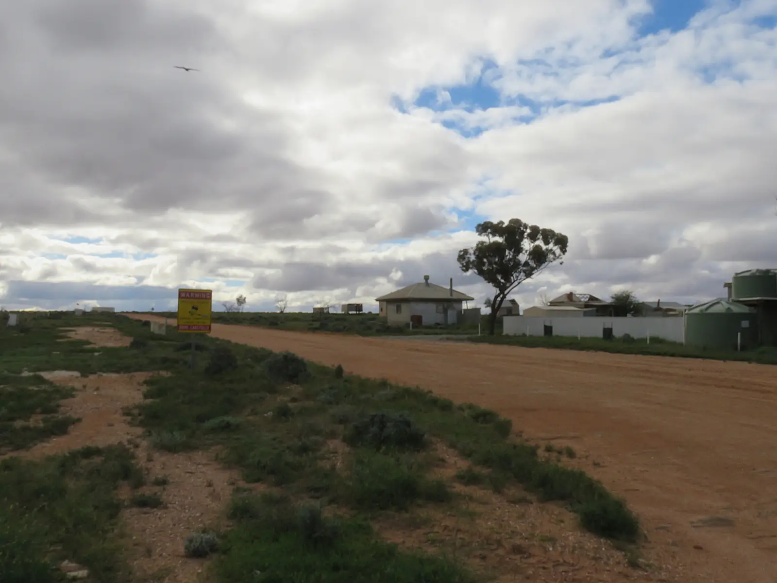
Olary
Olary travel guide: SATC Heritage Rail Trail township on the Barrier Highway between Yunta and Cockburn. ABS 2021 SAL41069: 4 people with limited tables. No Olary BOM table — use Yunta Airstrip.
Read · 7 min
South Australia · Outback SA
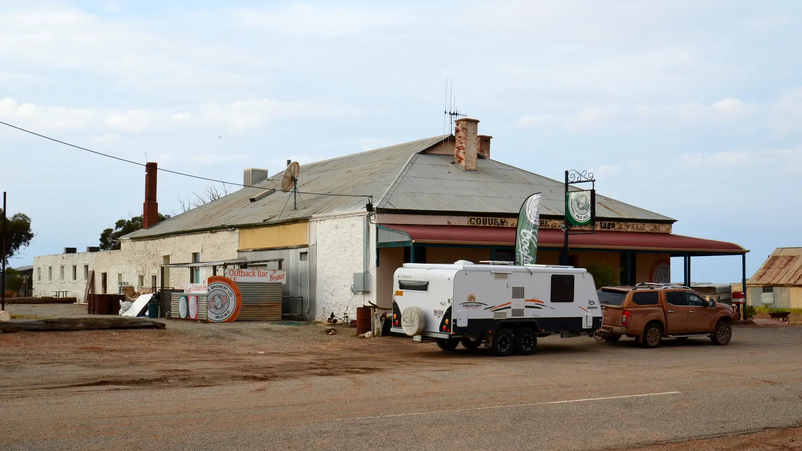
Cockburn
Cockburn travel guide: South Australian Barrier Highway locality at the NSW border near Broken Hill — Silverton Tramway gauge-break, SATC Heritage Rail Trail. ABS 2021 SAL40277: 12 people. Not City of Cockburn, Western Australia.
Read · 9 min
South Australia · Outback SA
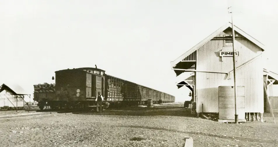
Pimba
Pimba travel guide: Stuart Highway junction for Woomera and the Olympic Dam Highway. ABS 2021 SAL41153: 25 people. Official Defence / SATC / BOM / OCA only — South Australia, not a second Woomera page.
Read · 8 min
South Australia · Outback SA
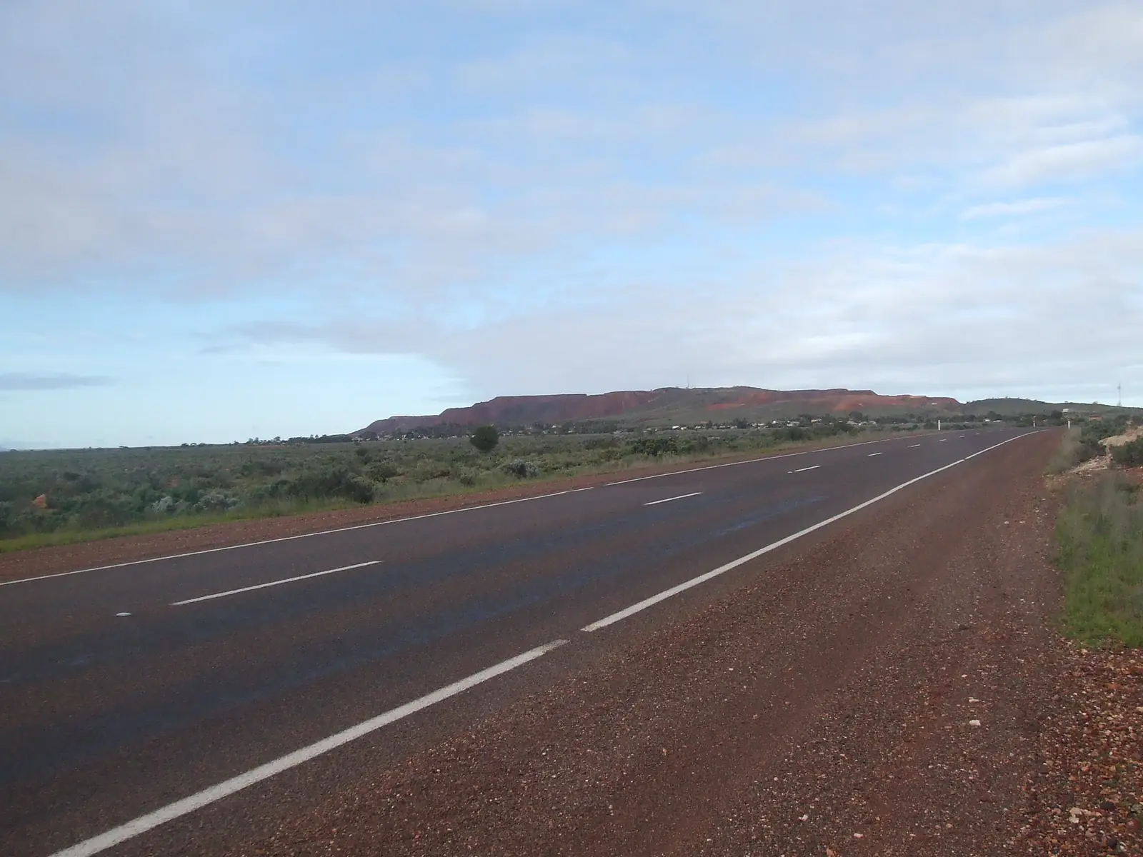
Iron Knob
Iron Knob travel guide: Eyre Highway iron-ore town in the Whyalla hinterland. ABS 2021 SAL40627: 110 people. No fuel in town. Gawler Ranges access. South Australia, not Iron Knob WA.
Read · 7 min
South Australia · Outback SA
Kimba
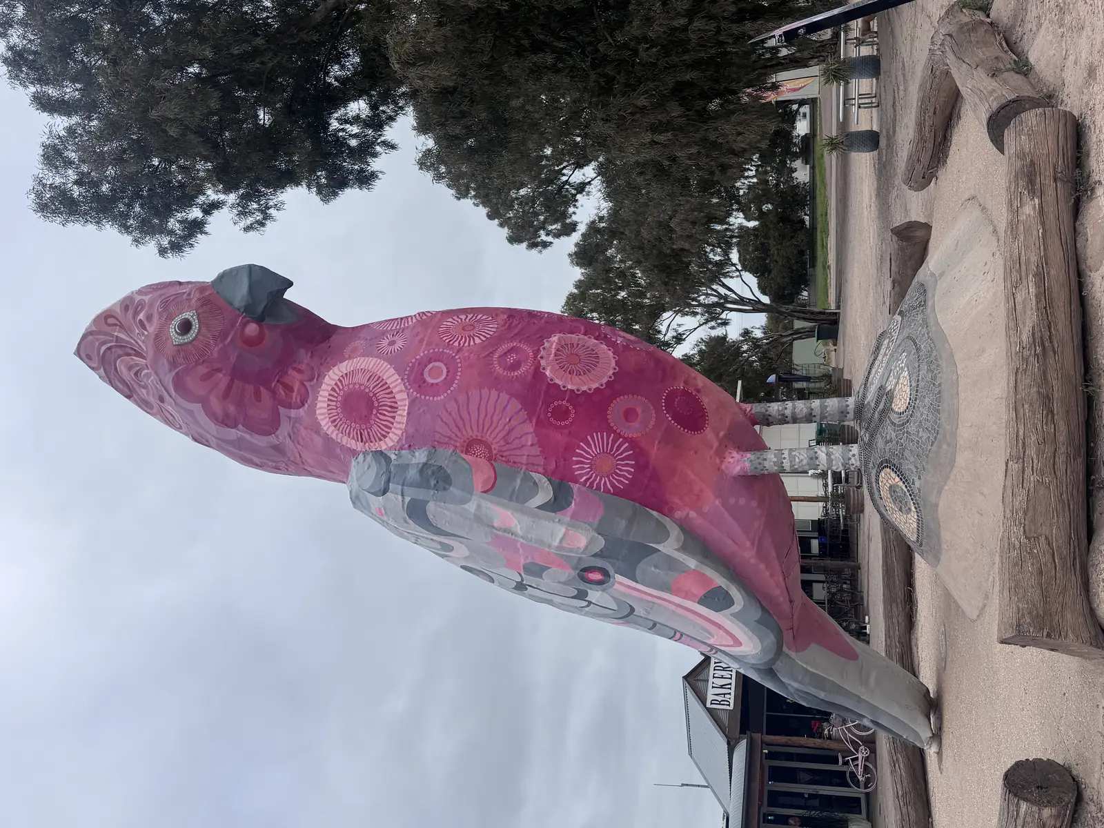
Kimba travel guide: Eyre Highway town the District Council and SATC call halfway across Australia. ABS 2021 UCL421019 / SAL40694: 608 people. Big Galah, Gawler Ranges access. Not Kimba QLD.
Read · 6 min
South Australia · Outback SA
Fowlers Bay
Fowlers Bay travel guide: South Australian Far West Coast township near Ceduna and the Nullarbor approach. Parks SA conservation park, southern right whales May–October. Not Fowlers Bay WA.
Read · 6 min
South Australia · Outback SA
Cadney
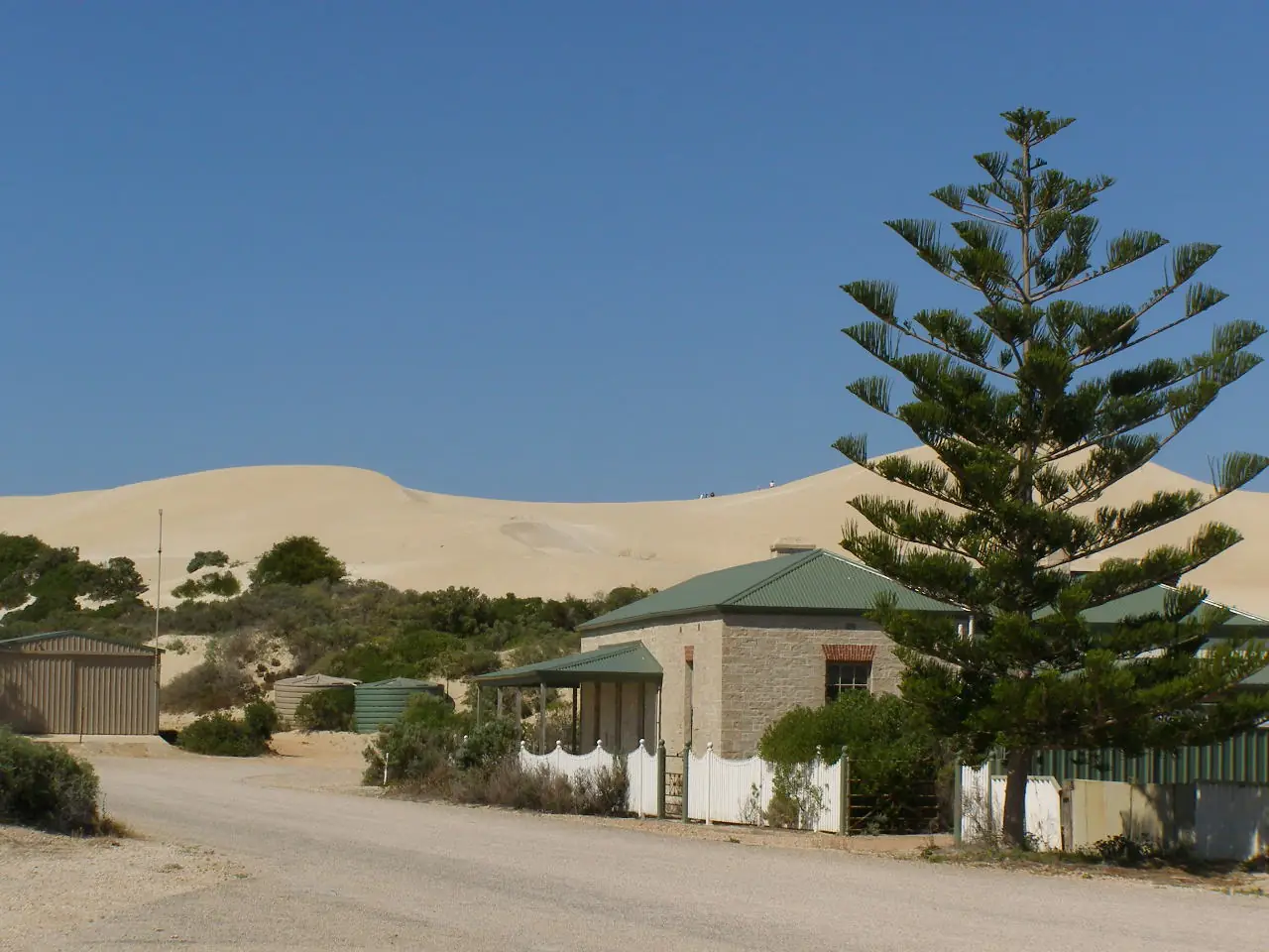
Cadney Park (Cadney Homestead) travel guide: Stuart Highway fuel stop north of Coober Pedy, south of Marla. Painted Desert about 80 km east. No 2021 Census people count. Official SATC / DIT / BOM only.
Read · 7 min
South Australia · Outback SA
Nundroo
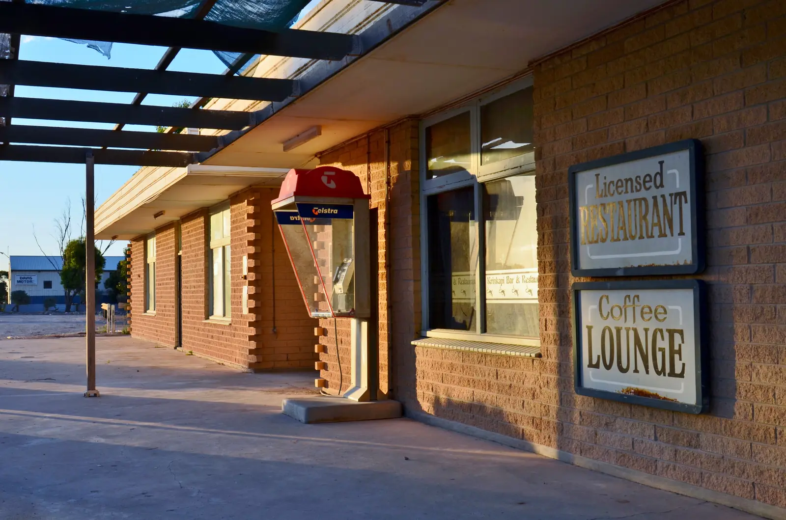
Nundroo travel guide: South Australian Eyre Highway stop west of Ceduna and Penong toward Yalata and the Nullarbor. SATC names Nundroo Roadhouse. No ABS 2021 SAL named Nundroo.
Read · 7 min
South Australia · Outback SA
Border Village
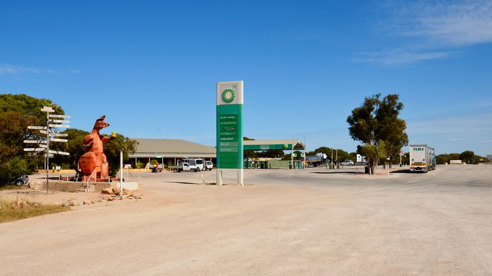
Border Village travel guide: South Australian Eyre Highway roadhouse at the WA border. SATC names Border Village Roadhouse, Rooey II and 37 rooms. Link Eucla. Quarantine into WA. No ABS 2021 SAL.
Read · 8 min
South Australia · Outback SA
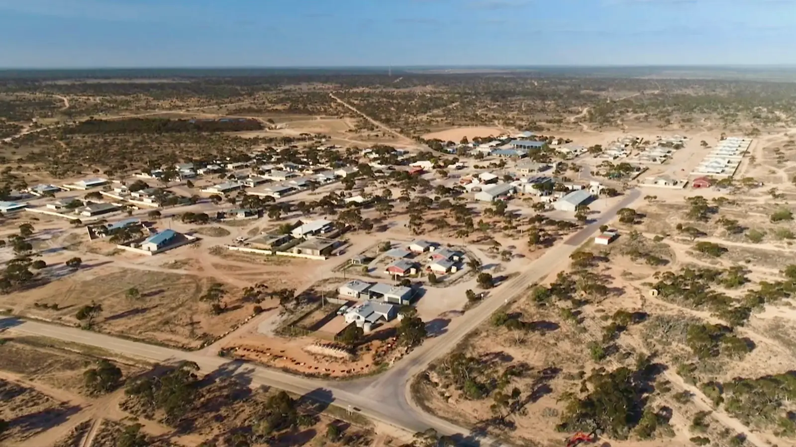
Yalata
Yalata travel guide: Far West Anangu Pitjantjatjara community on the Eyre Highway. Closed community without a permit. SATC camping and Head of Bight. ABS 2021 SAL41669: 313 people. Not a novelty stop.
Read · 8 min
South Australia · Outback SA
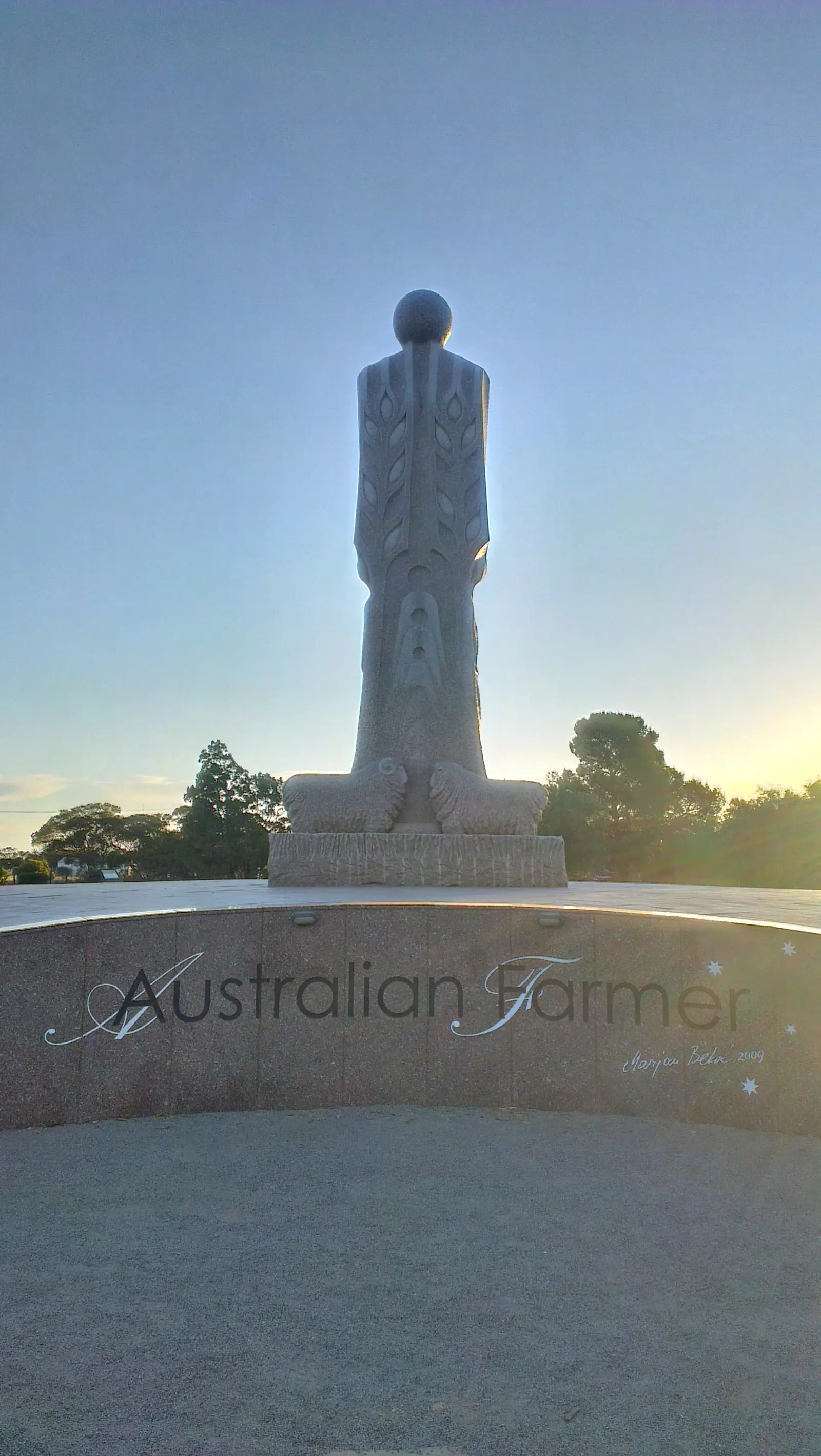
Wudinna
Wudinna travel guide: South Australian Eyre Highway town, SATC Mount Wudinna granite monolith, Ucontitchie Hill, Polda Rock. Parks SA names Wudinna as a Gawler Ranges approach. ABS 2021 SAL41659: 594 people. Not Wudinna VIC.
Read · 7 min
South Australia · Outback SA
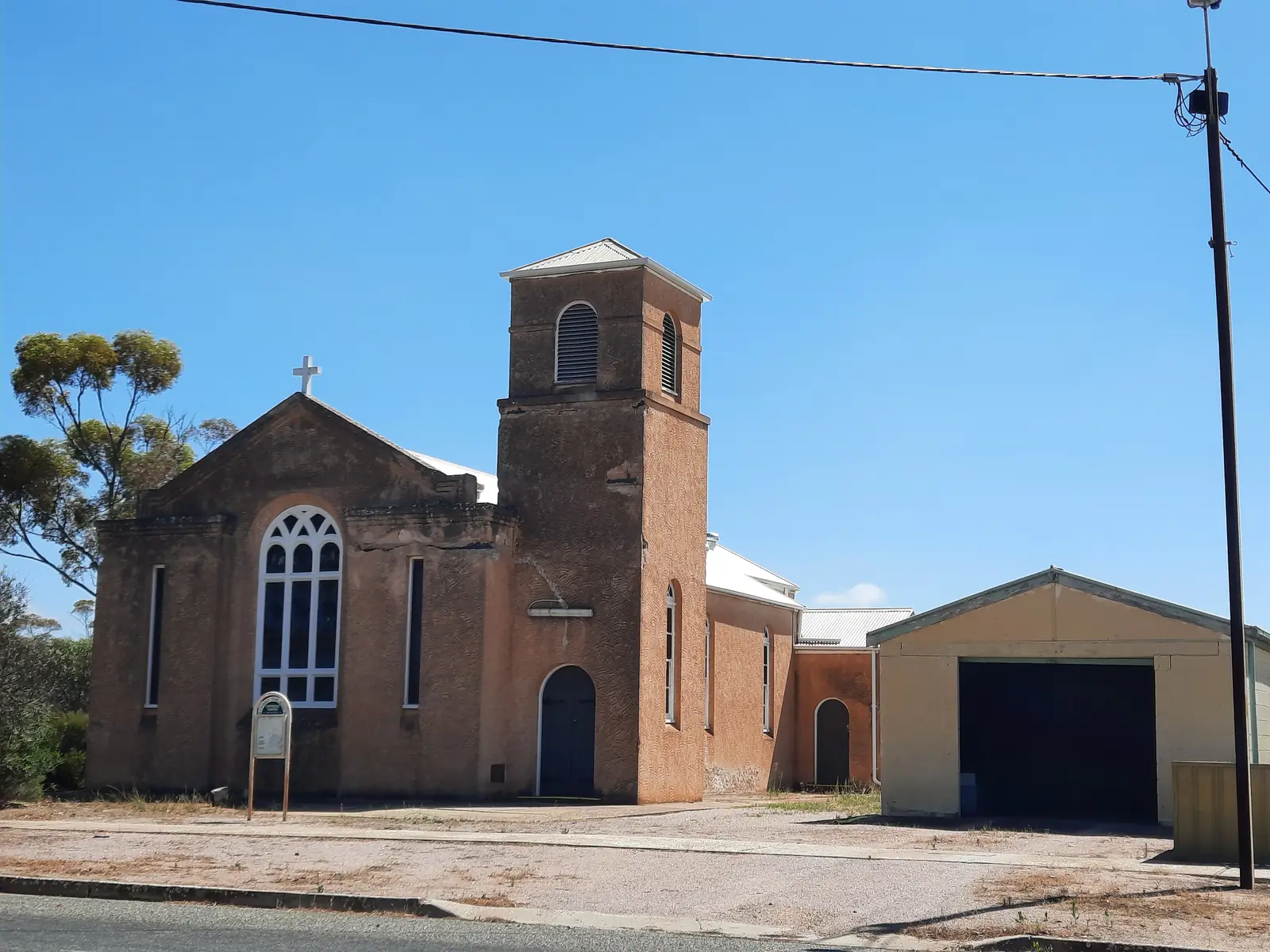
Minnipa
Minnipa travel guide: South Australian Eyre Highway town, SATC Pildappa Rock wave-granite 15 km off the highway. Parks SA names Minnipa as a Gawler Ranges approach. ABS 2021 SAL40887: 174 people. Neighbour Wudinna.
Read · 7 min
South Australia · Outback SA
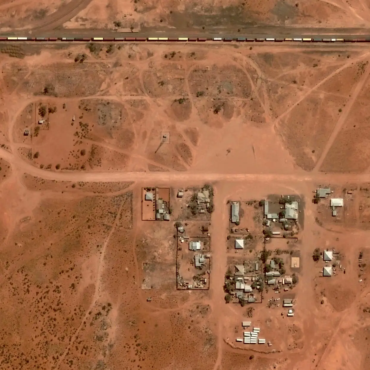
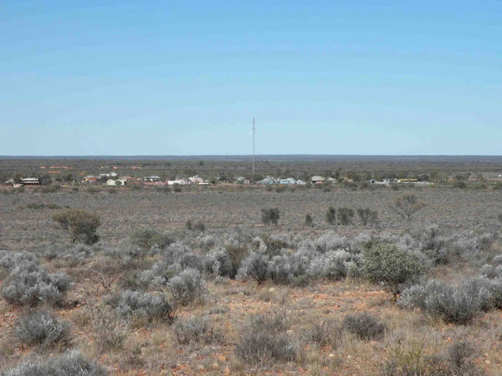
Kingoonya
Kingoonya travel guide: SATC’s Kingoonya Hotel on the Transcontinental railway, northern gateway to Gawler Ranges National Park, Lake Gairdner a few kilometres south. ABS 2021 SAL40695 publishes no people count. Not a NSW spelling.
Read · 9 min
South Australia · Outback SA
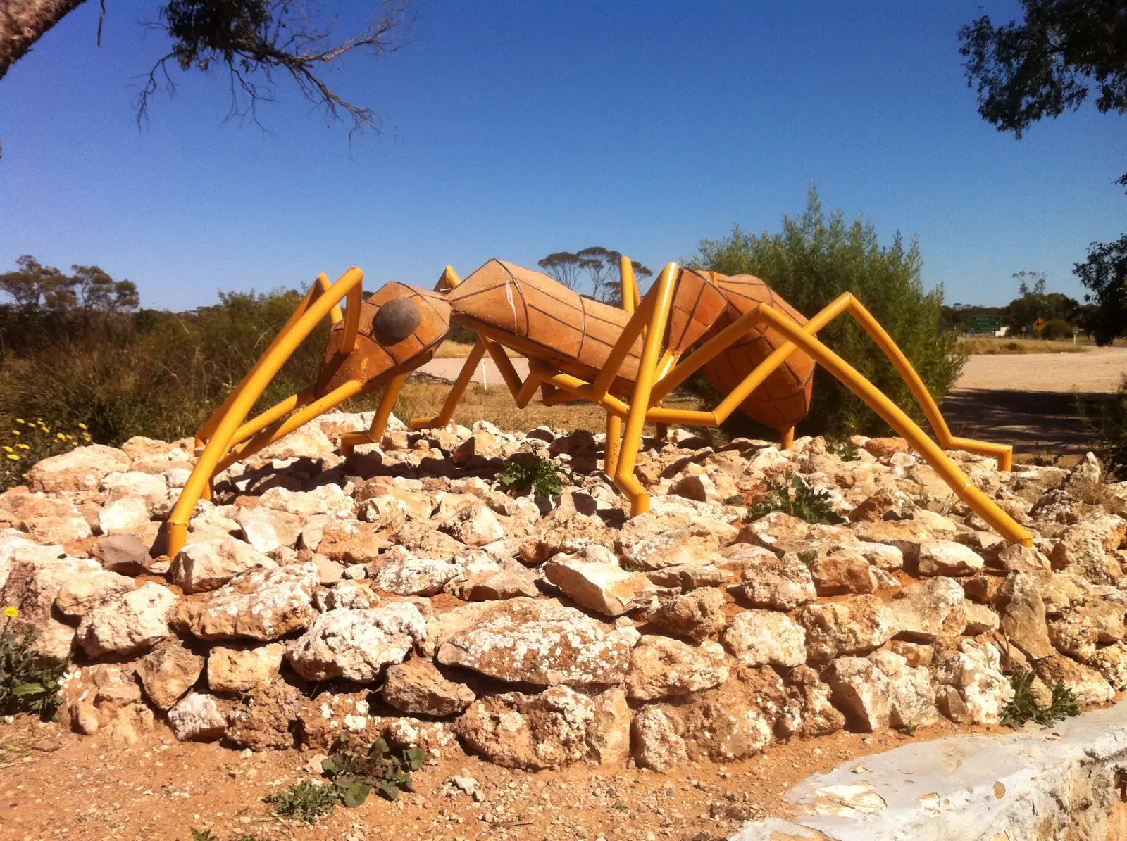
Tarcoola
Tarcoola travel guide: ARTC Trans-Australian / Adelaide–Darwin junction west of Glendambo. ABS 2021 SAL41424 publishes no people count. BOM Tarcoola Aero. 4WD from the Stuart Highway. Not Tarcoola Victoria.
Read · 8 min
South Australia · Outback SA
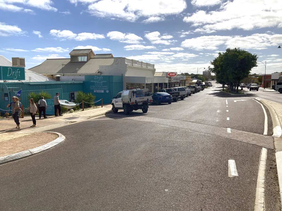
Poochera
Poochera travel guide: Eyre Highway town in District Council of Streaky Bay — museum, kerosene-can hut, caravan park. ABS 2021 SAL41181: 67 people. BOM Minnipa PIRSA. Not a Ceduna suburb.
Read · 6 min
South Australia · Outback SA
Streaky Bay
Streaky Bay travel guide: District Council of Streaky Bay, 720 km from Adelaide. Jetty, Cape Bauer Loop, Point Labatt. ABS 2021 UCL 967 / SAL 1,436. BOM Streaky Bay. Not Ceduna, not Port Lincoln.
Read · 7 min
South Australia · Outback SA
Wirrulla
Wirrulla travel guide: Eyre Highway town in District Council of Streaky Bay between Poochera and Ceduna — inland jetty, hotel 1927, campground. ABS 2021 SAL41625: 107 people. Not a Ceduna suburb.
Read · 7 min
Frequently asked questions
Which towns are in outback South Australia?
This hub covers Coober Pedy, Marree, William Creek, Innamincka, Oodnadatta, Roxby Downs, Port Augusta, Woomera on the Stuart Highway, and Ceduna on the Eyre Highway towards the Nullarbor.
Are the Oodnadatta, Birdsville and Strzelecki tracks sealed?
No. All three are unsealed and can close after rain. Check the Department for Infrastructure and Transport's outback road warnings before you travel. Driving on a closed outback road can attract heavy fines.
Do I need a Desert Parks Pass?
National Parks and Wildlife Service SA requires a Desert Parks Pass for several desert parks, including Witjira and Simpson Desert parks. Some Aboriginal lands, including the APY Lands, need separate entry permits. Check parks.sa.gov.au and the relevant land council.
How do you get to Coober Pedy?
The Stuart Highway is sealed from Port Augusta to Coober Pedy and on to the NT. The Ghan stops at Port Augusta and, on some departures, Manguri for Coober Pedy. Regional flights serve Coober Pedy.
Sources and further reading
Facts on this page were checked against these primary and official sources. Conditions change — confirm before you travel or buy.
- Outback road warnings — Department for Infrastructure and Transport SA
- Desert Parks Pass — National Parks and Wildlife Service SA
- Flinders Ranges and Outback — South Australian Tourism Commission
- District Council of Coober Pedy — explore — District Council of Coober Pedy
- Department of Defence — Woomera visits — Department of Defence
- Ceduna Tourism — getting here — District Council of Ceduna