At a glance
Sourced facts only. Distances and services change — confirm before you travel.
- Local government
- Shire of Dundas
- Traditional Owners
- Ngadju, named on the Shire of Dundas Aboriginal Culture and Heritage page for country surrounding NorsemanConfirm current wording at the Woodlands Centre.
- Nearest regional city
- Kalgoorlie-Boulder is the Goldfields service city on this site, north via Kambalda and Coolgardie. Eucla is 717 km east (Shire of Dundas tourism page).
- Capital
- 726 km from Perth (Shire of Dundas tourism page).
- Nearest fuel
- Last full Goldfields service strip before a long Eyre Highway gap on this hub’s sourced wording. Fill before Balladonia. This hub does not list bowser brands.
- Nearest hospital or clinic
- Norseman Hospital (WA Country Health Service Goldfields hospitals page), 24-hour accident and emergency care.
- Mobile coverage
- Check Telstra and Optus coverage maps before travel; do not assume a signal off the highway.
- Best time to visit
- Cooler BOM Norseman Aero mean maxima May–August (July 17.4 °C).
Climate
Monthly means from the Bureau of Meteorology station Norseman Aero (012009). This is not a forecast. Open station. Temperature 27 years and rainfall 26 years (1999–2026). Latest available data 14 November 2026. Closed Norseman Post Office (012065) is a separate longer record — do not blend.
| Month | Mean max (°C) | Mean min (°C) | Rainfall (mm) |
|---|---|---|---|
| Jan | 32.8 | 15.9 | 29.3 |
| Feb | 31.8 | 16.1 | 26.7 |
| Mar | 28.8 | 14.4 | 30.5 |
| Apr | 25.2 | 11.1 | 25.8 |
| May | 21.1 | 7.0 | 16.8 |
| Jun | 17.9 | 5.1 | 21.2 |
| Jul | 17.4 | 4.1 | 20.6 |
| Aug | 19.4 | 4.7 | 25.9 |
| Sep | 22.7 | 6.7 | 19.5 |
| Oct | 26.2 | 9.7 | 22.9 |
| Nov | 28.5 | 12.1 | 27.3 |
| Dec | 31.5 | 14.1 | 18.9 |
Norseman in pictures
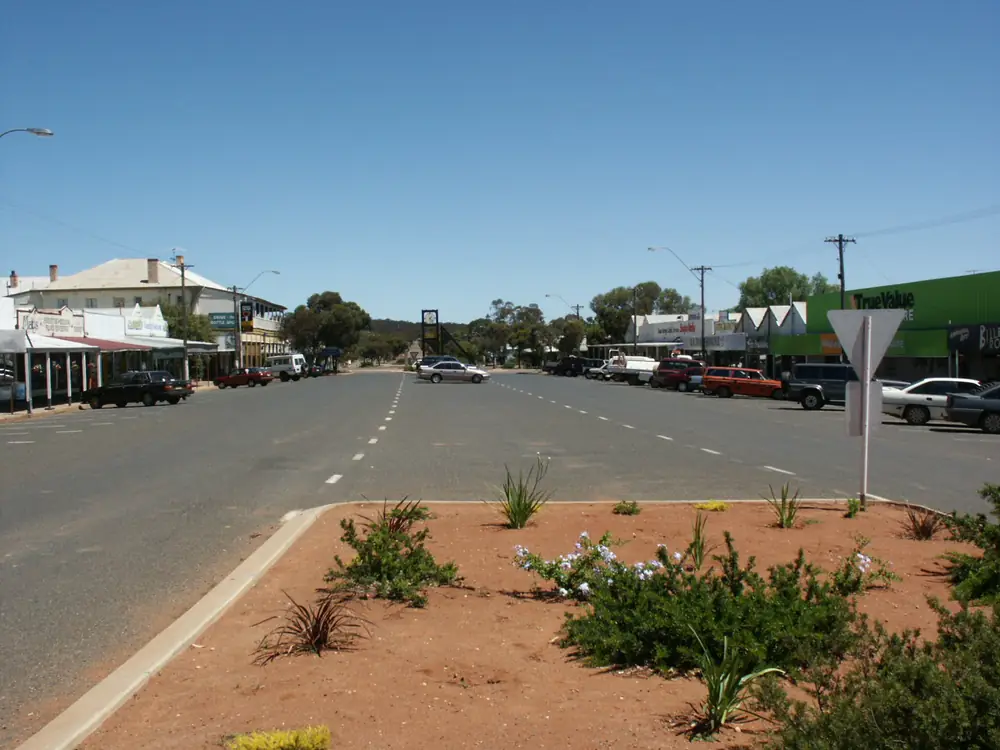
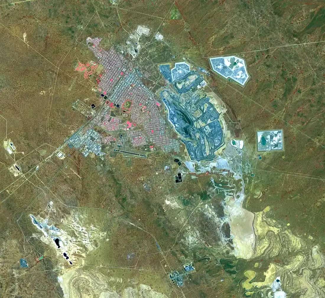
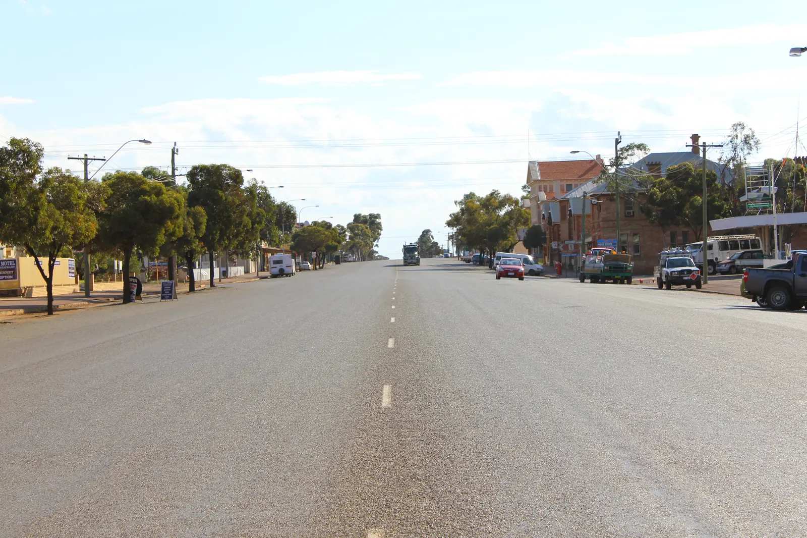
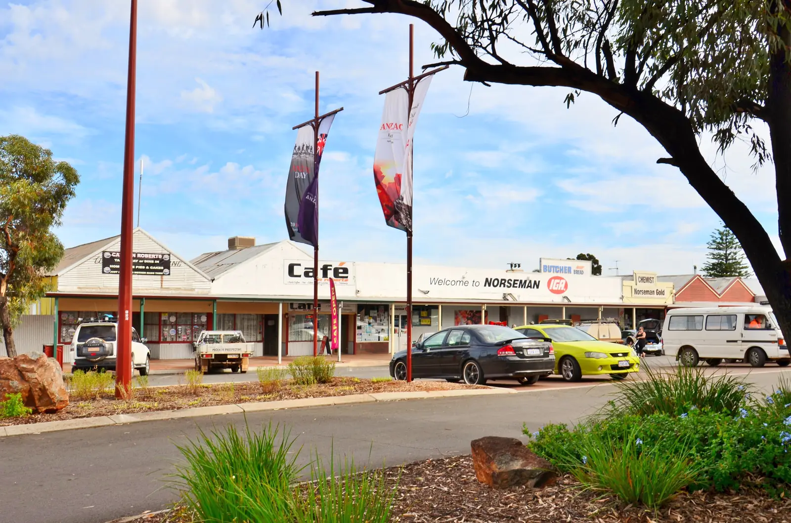
Norseman, Western AustraliaPhoto: Nachoman-au · CC BY-SA 3.0 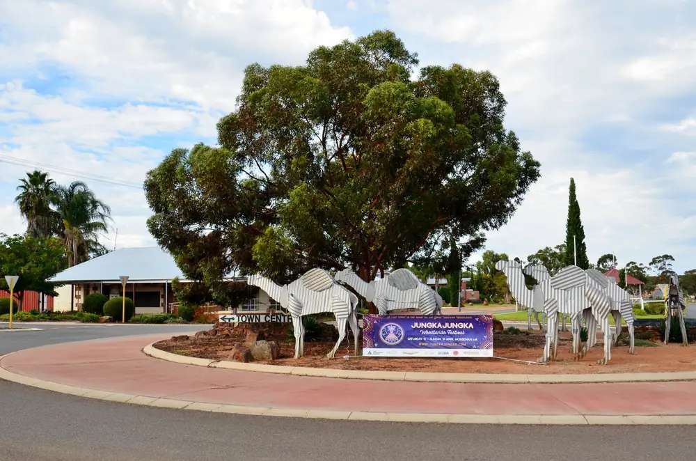
Tin camel roundabout, Norseman, 2017Photo: Bahnfrend · CC BY-SA 4.0 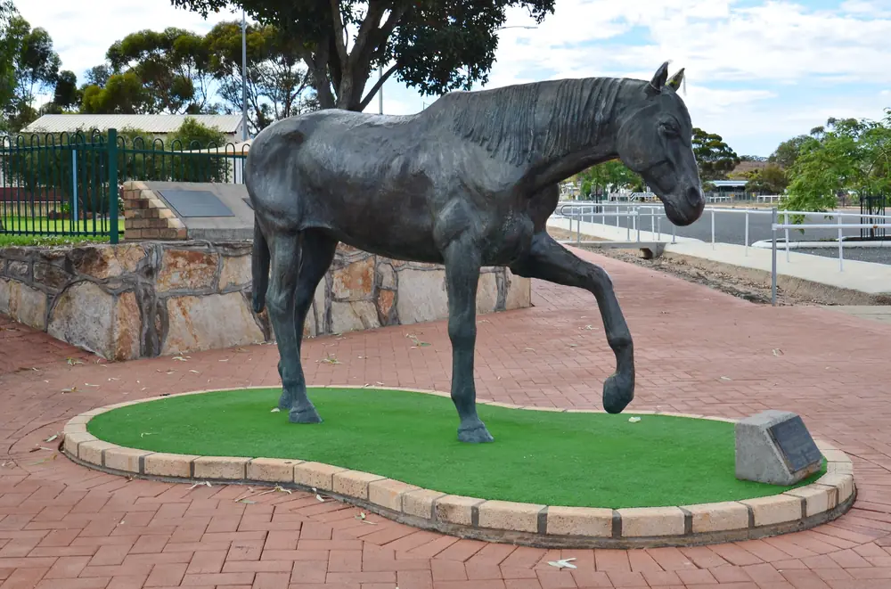
Hardy Norseman statue, Norseman, 2017Photo: Bahnfrend · CC BY-SA 4.0 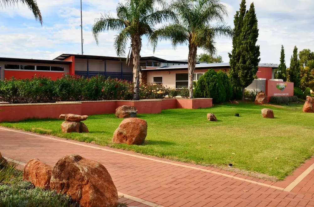
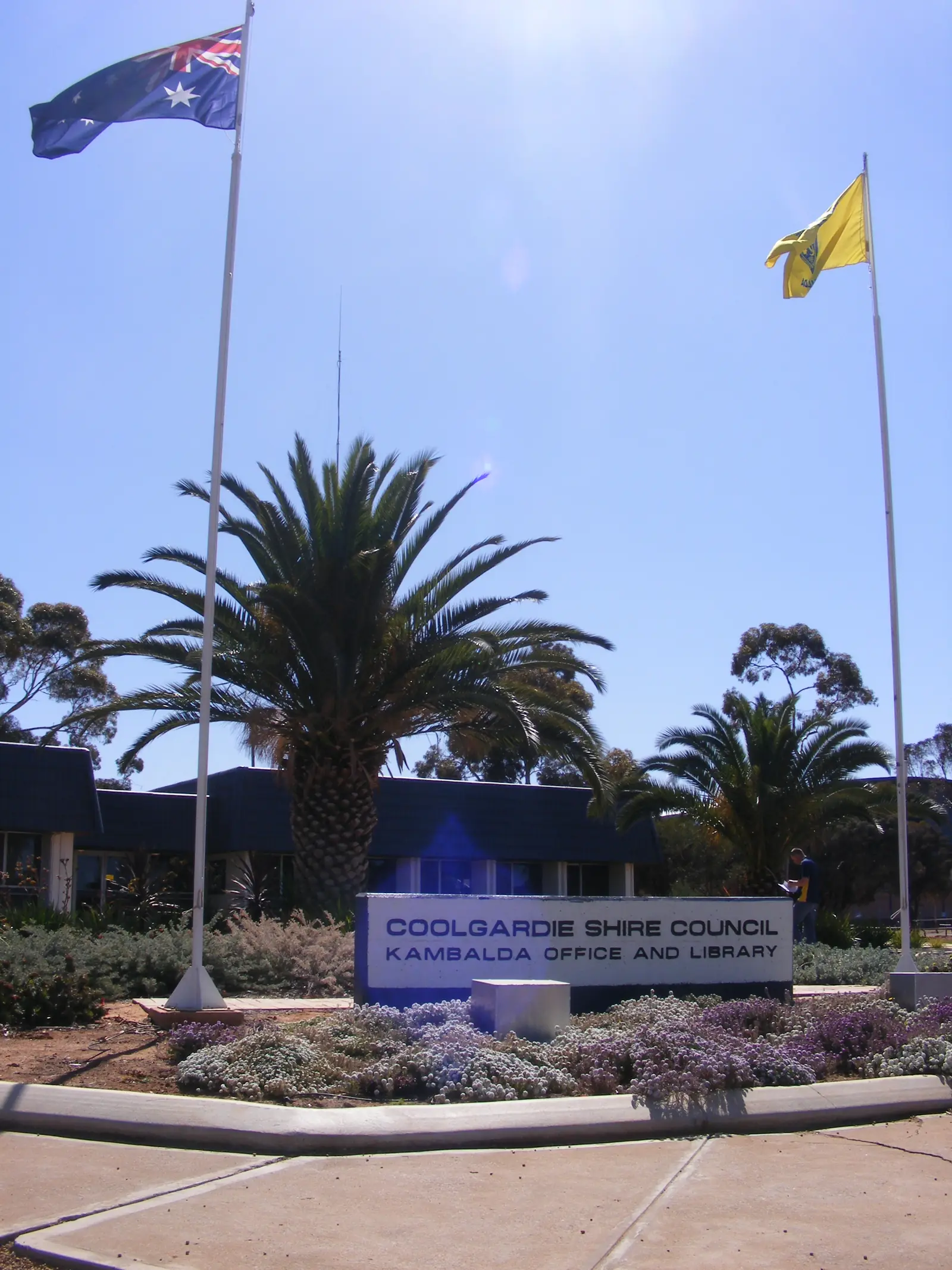
Dundas Shire Office, 2017Photo: Bahnfrend · CC BY-SA 4.0
Norseman sits in Western Australia’s Goldfields, inside the Golden Outback hub, as the major town in the Shire of Dundas. This is the Eyre Highway start of the Nullarbor — 726 km from Perth on the shire tourism page — not a town in Norway. Australia’s Golden Outback dates the town to 1894, after prospector Laurie Sinclair found a rich gold vein; the Heritage Trail page adds that the horse Norseman had gold-bearing rock in a hoof. The Woodlands Centre calls the town the gateway to Western Australia in the Great Western Woodlands.
The ABS publishes two 2021 geographies. Use urban centre Norseman (L) UCL521036: 555 people, median age 52, sex split 53.2% male / 46.8% female, Aboriginal and/or Torres Strait Islander people 96 (17.3%). Suburbs-and-localities SAL51127 counted 562. Travellers stop for Beacon Hill, Lake Cowan, the Woodlands Centre and a last night before the Nullarbor. Perth is 726 km on the shire tourism page; that is a published distance, not a closure report. Check the Main Roads WA travel map after rain before you treat the Eyre Highway start as open.
Where it is, and how far
Norseman is south of Kambalda, Coolgardie and Kalgoorlie-Boulder on the Coolgardie–Esperance Highway, and at the western end of the Eyre Highway. The shire tourism page: shire border 45 km north of Norseman, 50 km south, 165 km west as the crow flies, and east to the WA–SA border. Eucla is the other shire townsite, 717 km east. This is sealed highway country in ordinary weather.
| Place | Distance from Norseman (sourced) |
|---|---|
| Perth | 726 km (Shire of Dundas tourism page) |
| Eucla | 717 km east (same page) |
| Beacon Hill Lookout | 2 km along Mines Road (shire Beacon Hill page) |
| Lake Cowan Lookout | about 7 km on Mort Harslett Drive (Woodlands Centre) |
| Dundas Rocks / Heritage Trail | 28 km Heritage Trail drive on Golden Outback’s Norseman page; Dundas Coach Road Heritage Trail spread over 50 km on the Heritage Trail page |
A separate Norseman–Kalgoorlie kilometre was not on those sourced pages, so this hub does not invent one. Esperance is the south-coast choice Golden Outback names as a detour before the Nullarbor, not a Norseman suburb.
Facts at a glance
Population. ABS 2021 Census, Urban Centres and Localities UCL521036 Norseman (L): 555 people. Median age 52. 122 families, 538 private dwellings. Average household size 1.8. SAL SAL51127: 562 people. Shire tourism page: shire population approximately 1,600. Use the Norseman (L) UCL QuickStats for the town.
Climate. Bureau of Meteorology NORSEMAN AERO, 012009, commenced 1999, location 32.21°S, 121.75°E, elevation 263 m, Open, latest available data 14 November 2026. Mean maximum (27 years, 1999–2026): January 32.8 °C, July 17.4 °C, annual 25.3 °C. Mean minimum: January 15.9 °C, July 4.1 °C, annual 10.1 °C. Mean rainfall (26 years, 1999–2026): annual 282.9 mm; March 30.5 mm wettest mean month; May 16.8 mm driest on that open table. Closed NORSEMAN, 012065 (commenced 1897, closed 1 September 2012, elevation 277 m): January mean maximum 32.6 °C, July 16.8 °C, annual rainfall 288.9 mm (112 years, 1897–2012). Do not average the two tables into a fake blended mean. See Norseman weather.
Visitor information. Woodlands Cultural, Community and Visitor Centre, 78 Prinsep Street, built 2019. Hours: 8:30am–4:30pm Monday–Friday, 8:30am–12:30pm Saturday, (08) 9039 0040, tourism@dundas.wa.gov.au. Shire office (08) 9039 1205, shire@dundas.wa.gov.au.
Traditional Owners
The Woodlands Centre Aboriginal Culture and Heritage page names Ngadju people as living in the country surrounding Norseman for some 50,000 years, with Edward John Eyre the first known European to traverse the landscape in 1841. It calls Ngadju the song and dance people and links to the Ngadju Native Title Aboriginal Corporation. That is the official visitor-centre wording for this town. This guide does not flatten neighbouring Goldfields groups onto the Norseman townsite. Confirm current wording at 78 Prinsep Street.
History
Golden Outback: Norseman was established in 1894 after Laurie Sinclair’s rich vein of gold; relics of the gold rush remain. The Heritage Trail page: Sinclair and his horse Norseman literally stumbled across gold when the horse had gold-bearing rock stuck in a hoof. The Woodlands Centre asks visitors to discover the roots of Norseman, Eucla, the wider shire and the horse that started it all. The shire tourism page: goldmining and tourism remain the backbone; gold is still of major importance. That page’s mining-company sentence is historical context on a shire site — confirm current operators at the Woodlands Centre rather than treating it as a 2026 mine roster.
Dundas was the earlier goldfields townsite. Golden Outback’s Heritage Trail runs between Norseman and the original township of Dundas on a sealed loop. Phoenix Tailings Dump is named as a pyramid-like backdrop that still contains gold — a view from town, not a climbing gym.
Things to do
Woodlands Centre — interpretive displays on Dundas history, culture and community; visitor services for the Nullarbor.
Beacon Hill Lookout — 2 km along Mines Road; panoramic views; information panels and a directional dial in a shaded hut; 900 m walking trail with seats.
Lake Cowan Lookout — about 7 km on Mort Harslett Drive; salt lake, no swimming; do not drive on the lake.
Tin Camels — Golden Outback: tribute to camel trains that carried mail and freight.
Historical Collection — Golden Outback: includes a large piece of Skylab. Confirm hours at the Woodlands Centre.
Nullarbor Links — world’s longest golf course, named on Golden Outback’s Norseman page.
Granite Woodlands Discovery Trail — 16 interpretive sites; camping, bushwalking, granite, spring wildflowers.
Dundas Coach Road Heritage Trail — Golden Outback: about 1–2 hours, fully sealed, 50 km loop, 10 key places; the Norseman town page also names a 28 km Heritage Trail drive to Dundas Rocks. Use the Woodlands Centre to match the loop you actually want.
Phoenix Tailings Dump — the named backdrop. Stay off working mine areas.
Goldfields Woodlands National Park is the Parks WA park on this woodlands corridor, used on this site’s Kambalda hub, not a Norseman main-street attraction.
Where to stay
The Woodlands Centre accommodation page names:
- The Railway Motel & Woodlands Guesthouse
- Ngadju Gateway Motel
- Gateway Caravan Park — powered and unpowered sites, cabins and chalets
- Norseman Eyre Motel — highway location, 24/7 check-in via BP on that page
- Norseman Hotel — single and double rooms, shared bathrooms
- Free RV Park — 72-hour free camp, fully self-contained vehicles only, near the Norseman Town Oval
Those are official named types, not a ranked inventory. Confirm at (08) 9039 0040.
- How to choose: Norseman accommodation
- Camping detail: Norseman caravan parks
- Operator enquiries: feature your business
If Norseman is full, Kalgoorlie-Boulder is the Goldfields city with more rooms. That is a geometry fact, not a booking guarantee. Fraser Range Station is named on Golden Outback’s Nullarbor list as a working sheep farm stay along the highway, not as an in-town motel.
Caravan and camping
Vans use Norseman as the last powered Goldfields night before the Nullarbor, or the first WA night coming west. Official named camps are Gateway Caravan Park and the 72-hour self-contained free RV park at the oval. Ask the Woodlands Centre for stay limits and dump points. Read Norseman caravan parks and outback camping.
After rain, salt-lake tracks and woodlands spurs are the constraint. Main Roads first.
Fuel and services
A town of 555 people will not match Kalgoorlie for a hospital, but it is the last full Goldfields service strip before a long Eyre Highway gap. The Woodlands Centre and Golden Outback both treat Norseman as the place to pick up a Nullarbor map (hard copy named from the Norseman Visitor Centre). This guide does not list bowser brands. Fill up before Balladonia. For current questions, use 78 Prinsep Street and Main Roads WA.
Road access
The Coolgardie–Esperance Highway is the north–south sealed spine; the Eyre Highway is the eastbound Nullarbor. Golden Outback’s Eyre Highway page: two days, sealed roads, Norseman to Ceduna; before leaving, Beacon Hill and the Woodlands Centre. The Nullarbor road trip on this site is the crossing briefing. After rain, check Main Roads. Do not drive around closed signs to keep a golf-hole booking.
North: Kambalda, Coolgardie, Kalgoorlie-Boulder. South: Esperance on Golden Outback’s detour wording. East: Balladonia and Eucla. Woodlands and Dundas Rocks loops are visitor-centre road questions.
Nearby parks and towns
Parks and named nature sites:
- Great Western Woodlands (Woodlands Centre and Golden Outback Heritage Trail)
- Lake Cowan (lookout; salt lake)
- Beacon Hill
- Dundas Rocks / original Dundas townsite
- Goldfields Woodlands National Park — Parks WA, on this corridor
Towns on this site:
- Kambalda — nickel town, Lake Lefroy
- Coolgardie — gold-rush neighbour
- Kalgoorlie-Boulder — Goldfields city
Eucla is the shire’s other townsite, 717 km east — a Nullarbor night, not a Norseman suburb.
When to go, and how long
Norseman Aero’s January mean maximum of 32.8 °C is hot for Beacon Hill at midday, milder than inland Goldfields tables on this site. July’s 17.4 °C mean maximum is the comfortable walking season; July’s 4.1 °C mean minimum is why an oval RV night needs a layer. Annual rainfall 282.9 mm on the open aero table. Golden Outback names spring wildflowers on the woodlands trails. Two hours at the Woodlands Centre, Tin Camels and Beacon Hill is the minimum. A night lets you use the caravan park or 72-hour RV stop if the Centre has confirmed it. Two nights only if you are adding Lake Cowan, the Dundas loop and a rest day before the Nullarbor and Main Roads agrees.
Operators who want a checked listing: feature your business. The listings slot on this hub stays empty until then.
Plan this trip
Tell us the dates, who you are travelling with and where you need help. We reply with planning notes for Norseman — we are not a booking agent.
Events and road-conditions newsletter
Occasional notes on outback festivals, race days and official road-condition sources — not a daily blast. We use these details only to send the newsletter.
Western Australia · Golden Outback
Norseman accommodation
Where to stay in Norseman: motels and Gateway Caravan Park named by the Woodlands Centre, plus a 72-hour self-contained RV park at the oval. Confirm at 78 Prinsep Street. This is WA, not Norway.
Read · 4 min
Western Australia · Golden Outback
Norseman caravan parks
Camping in Norseman: Gateway Caravan Park plus a 72-hour self-contained free RV park at the town oval, as named by the Woodlands Centre. Confirm at 78 Prinsep Street. This is WA, not Norway.
Read · 3 min
Western Australia · Golden Outback
Norseman weather
Norseman climate from BOM Norseman Aero (012009): January mean max 32.8 °C, July 17.4 °C, annual rainfall 282.9 mm. Open station. Closed Norseman 012065 has the longer rainfall record.
Read · 4 min
Western Australia · Golden Outback
Things to do in Norseman
Things to do in Norseman: Woodlands Centre, Beacon Hill Lookout, Lake Cowan, Tin Camels, Dundas Heritage Trail and the Eyre Highway start of the Nullarbor. This is Western Australia, not Norway.
Read · 3 min
Frequently asked questions
Is this Norseman in Western Australia or Norway?
This guide is Norseman in the Shire of Dundas, Western Australia’s Goldfields, at the western start of the Eyre Highway Nullarbor crossing. It is named after prospector Laurie Sinclair’s horse, not after the Norwegian city.
What is Norseman’s population?
Use the 2021 urban centre Norseman (L) UCL521036: 555 people, median age 52. Suburbs-and-localities SAL51127 counted 562. The Shire of Dundas tourism page separately describes the shire population as approximately 1,600 — that is the whole shire, including Eucla, not the townsite.
How far is Norseman from Perth and Eucla?
The Shire of Dundas tourism page puts Norseman 726 km from Perth and Eucla 717 km east of Norseman. The Nullarbor road-trip page on this site uses the sealed Eyre Highway from here toward Ceduna.
What is the weather like in Norseman?
BOM Norseman Aero (012009) has a January mean maximum of 32.8 °C, a July mean maximum of 17.4 °C and annual mean rainfall of 282.9 mm. The station is listed open from 1999. The closed Norseman Post Office table (012065, closed 1 September 2012) has a longer rainfall record: annual 288.9 mm.
Can I camp at Norseman?
Yes, as named types. The Woodlands Centre accommodation page lists Gateway Caravan Park (powered and unpowered sites, cabins and chalets) and a 72-hour free RV park for fully self-contained vehicles near the Norseman Town Oval. Confirm at (08) 9039 0040.
Sources and further reading
Facts on this page were checked against these primary and official sources. Conditions change — confirm before you travel or buy.
- Goldfields hospitals and health services — WA Country Health Service
- Norseman (L) 2021 Census QuickStats (UCL521036) — Australian Bureau of Statistics
- Norseman 2021 Census QuickStats (SAL51127) — Australian Bureau of Statistics
- Climate statistics for Norseman Aero (012009) — Bureau of Meteorology
- Climate statistics for Norseman (012065) — Bureau of Meteorology
- Tourism — Shire of Dundas — Shire of Dundas
- Woodlands Cultural, Community and Visitor Centre — Shire of Dundas
- Aboriginal Culture and Heritage — Shire of Dundas
- Accommodation — Shire of Dundas
- Beacon Hill Lookout — Shire of Dundas
- Lake Cowan Lookout — Shire of Dundas
- Norseman & Nullarbor — Australia’s Golden Outback — Australia's Golden Outback
- Norseman Heritage Trail — Australia's Golden Outback
- Eyre Highway & The Nullarbor Plain — Australia's Golden Outback
- Goldfields Woodlands National Park — Parks and Wildlife Service, DBCA
- Main Roads WA travel map — Main Roads Western Australia