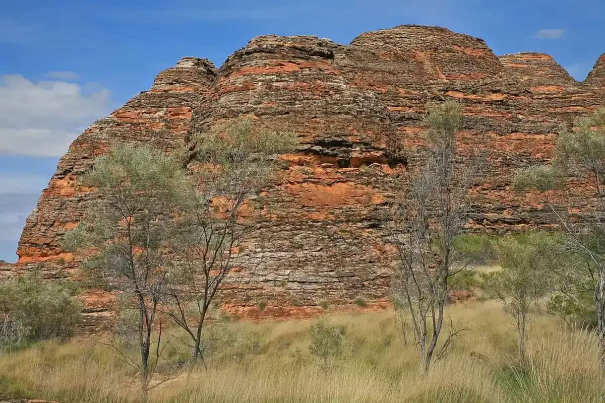
WA's Golden Outback, in Tourism Western Australia's language, is a huge inland band from the wheatbelt to the deserts. In the original Outback Now town directory the gold-rush core was Kalgoorlie, Coolgardie, Leonora and their satellites. That is what this hub covers. The Goldfields-Esperance region grew from the rushes of the 1890s. Hannan Street's hotels and the Fimiston open pit — the Super Pit — on the Golden Mile still define Kalgoorlie-Boulder. Coolgardie was the first boom town. North, Leonora keeps the Gwalia historic precinct alive after the Sons of Gwalia mine closed in 1963.
Town guides
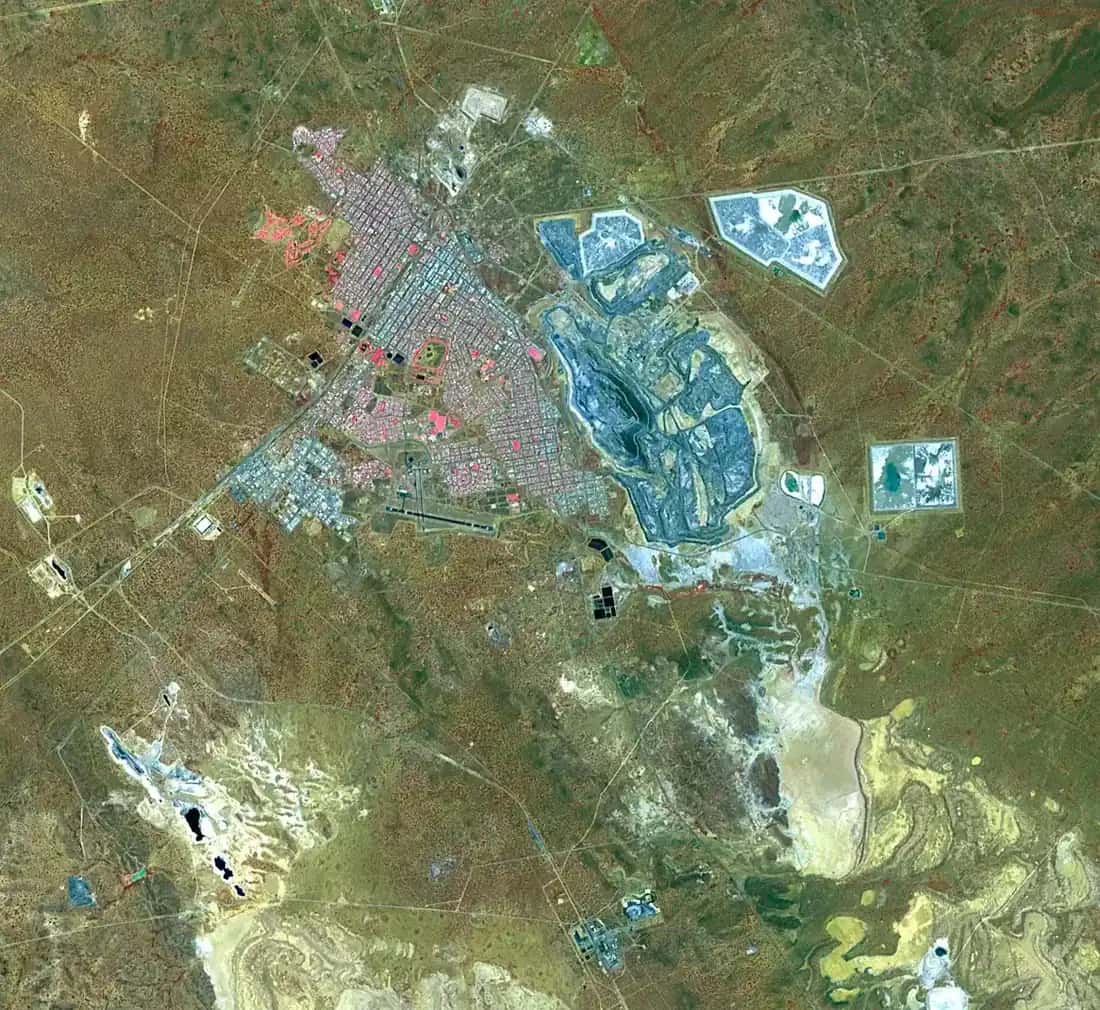
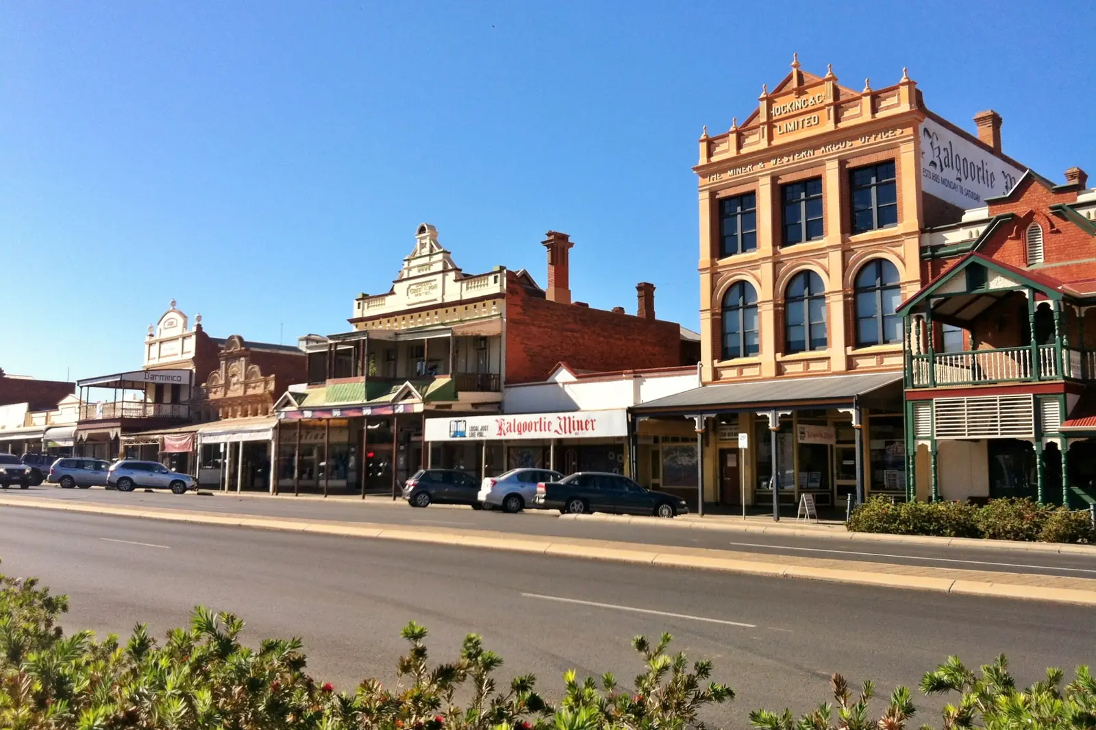
Kalgoorlie-Boulder was built on the Golden Mile, among the richest gold deposits on Earth, and mining still shapes the city. The Super Pit lookout is the essential first stop. The Museum of the Goldfields (WA Museum) is free. Hannan Street and Boulder's heritage streetscapes repay a slow walk. The Golden Pipeline Heritage Trail follows the water scheme that C. Y. O'Connor built to keep the goldfields alive. Two days covers the pit, museum and streets; a third day fits Coolgardie or Leonora. The city is also the eastern Australian jumping-off point for the Nullarbor via Norseman and the Eyre Highway.
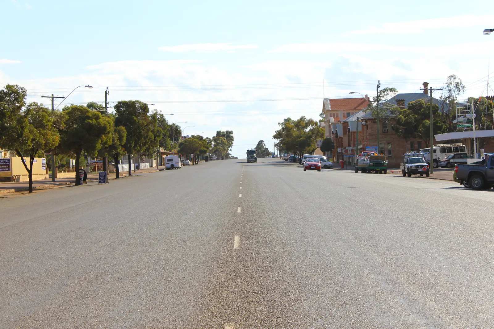
Coolgardie is about 40 km south-west of Kalgoorlie on the Great Eastern Highway. Gold in 1892 turned it into one of the largest towns in Western Australia for a few frantic years. Grand 1890s buildings, the Goldfields Exhibition Museum and Warden Finnerty's Residence tell that story. It is an easy half-day from Kalgoorlie, or a first stop if you are driving in from Perth.
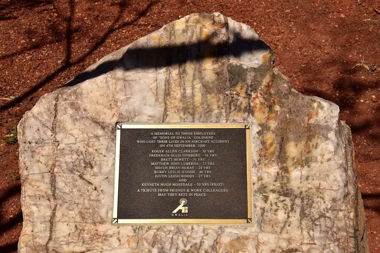
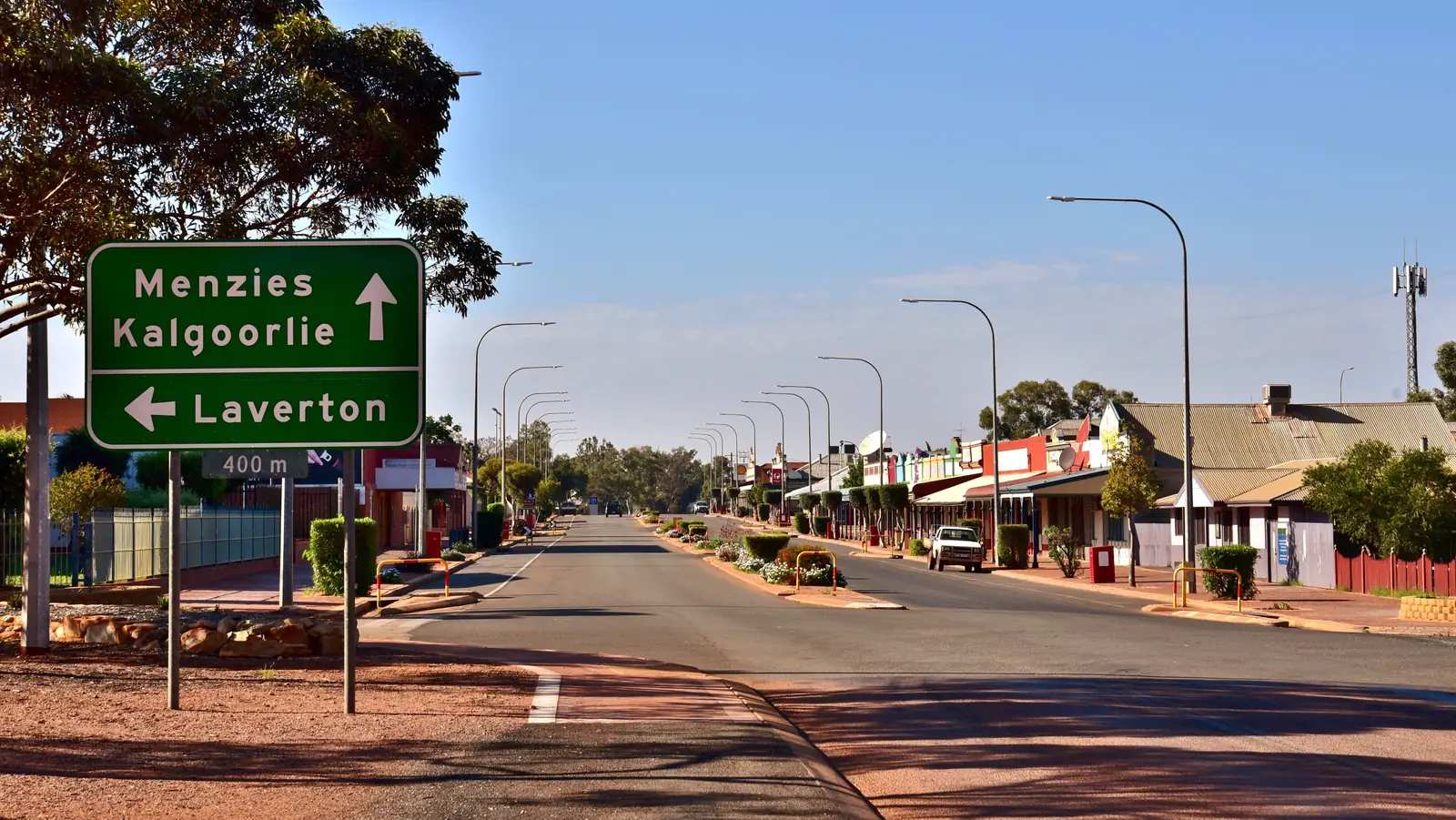
Leonora and Gwalia sit about 235 km north of Kalgoorlie-Boulder. Leonora is still a mining town. Next door, the Gwalia Historic Precinct preserves the settlement that emptied when the Sons of Gwalia gold mine closed in 1963, including Hoover House — associated with Herbert Hoover, who worked at the mine as a young engineer before becoming US president. Allow a full day from Kalgoorlie, or overnight in Leonora.
Menzies is the Goldfields Highway town north of Kalgoorlie-Boulder and the sealed gateway to Lake Ballard and Antony Gormley's Inside Australia sculptures; see that tour page as well as the town hub.
Paynes Find is the Shire of Yalgoo partner locality on the Great Northern Highway south of Mount Magnet, named for the Paynes Find Gold Battery.
Norseman (WA Goldfields, not Norway) is the southern Goldfields town where the Eyre Highway starts the Nullarbor crossing.
Southern Cross is the Shire of Yilgarn seat on the Great Eastern Highway, the last Wheatbelt / first Goldfields town on Visit Yilgarn wording.
Eucla is the WA Nullarbor town 10 minutes from the SA border (Western Australia, not a South Australian town page).
Mullewa is the Midwest / Geraldton hinterland town known for wildflowers and Monsignor Hawes churches.
Mundrabilla is the Eyre Highway Nullarbor roadhouse west of Eucla.
Balladonia is the Eyre Highway Skylab / museum stop east of Norseman.
Caiguna is the Eyre Highway Nullarbor roadhouse on the 90 Mile Straight.
Cocklebiddy is the Eyre Highway caves / roadhouse stop west of Caiguna.
Madura is the Eyre Highway pass / roadhouse on the Roe Plains approach.
Northampton is the Midwest town north of Geraldton (Western Australia, not Northampton UK).
Mingenew is the Shire of Mingenew Midwest wildflower and rail town on the Brand Highway, west of Morawa. Geraldton is named on official pages and has no town page here.
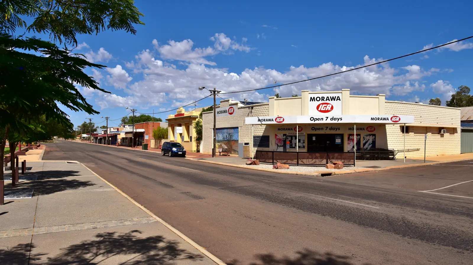
Morawa is the Shire of Morawa Midwest wildflower town — Monsignor Hawes, Koolanooka and wreath flowers. Perenjori is named on the Hawes trail and has no town page here.
Merredin is the Wheatbelt / Great Eastern Highway town on the Prospector line (Western Australia, not Merredin VIC).
Kellerberrin is the Great Eastern Highway town west of Merredin.
Hyden is the Wheatbelt town Tourism WA names for Wave Rock (Western Australia, not a Perth suburb).
Leinster is the nickel town on the Goldfields Highway between Leonora and Wiluna.
Mount Magnet is the Murchison gold town on the Great Northern Highway.
Sandstone is the small shire town north-east of Mount Magnet; the shire names London Bridge as a local rock formation.
Warburton (WA, not Victoria) is the Ngaanyatjarra community on the Great Central Road / Outback Way. Access and permits are published by the Ngaanyatjarra Council and the Shire of Ngaanyatjarraku — not a casual highway overnight.
Meekatharra is the Murchison service town on the Great Northern Highway.
Wiluna is the Goldfields Highway town at the southern start of the Canning Stock Route and the western Gunbarrel approach — follow official permit language; do not invent access into community housing.
Laverton (WA, not Victoria) is the Northern Goldfields start of the Outback Way / Great Central Road, east of Leonora.
Cue is the Murchison gold town on the Great Northern Highway between Mount Magnet and Meekatharra.
Yalgoo is the Shire of Yalgoo town on the Geraldton–Mount Magnet road.
Kambalda (WA Goldfields, not Victoria) is the nickel town in the Shire of Coolgardie, south of Kalgoorlie-Boulder.
Getting there
The Great Eastern Highway is sealed from Perth to Coolgardie and Kalgoorlie. The Goldfields Highway continues north to Menzies, Leonora and Laverton, and south towards Norseman and the Eyre Highway. The Prospector train runs Perth–Kalgoorlie. Regional flights serve Kalgoorlie-Boulder Airport.
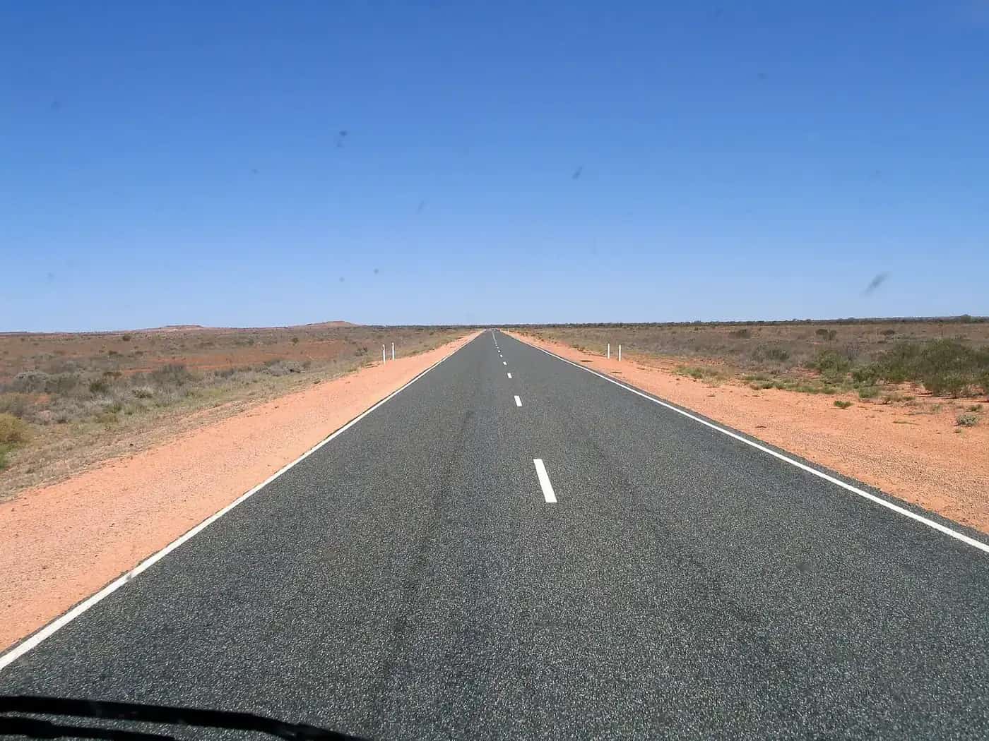
These are long, fast inland highways shared with road trains. Wildlife at dusk and fatigue are the usual risks. Fuel is reliable in Kalgoorlie; fill up before side trips north or onto the Nullarbor. Main Roads WA's travel map is the official conditions source. Quarantine rules apply if you later enter South Australia on the Eyre Highway or return west into agricultural areas — see fuel, permits and road conditions.
The Great Central Road (part of the Outback Way) leaves the Goldfields at Laverton towards Uluru. It is remote, crosses Aboriginal land and needs permits and self-sufficiency. It is not a casual extension of a Kalgoorlie weekend.
When to go
The Goldfields are hot in summer and can be cold at night in winter. Autumn and spring are the most comfortable driving months. After good winter rain, wildflowers appear on the edges of this region (more reliably in the Mid West than on the Golden Mile itself). Mining lookouts and museums run year-round; confirm Super Pit hours after extreme weather. Summer heat is genuine — carry water even for a lookout visit.
What to see beyond the three towns
Kalgoorlie is the service city: visitor centre, supermarket, repairs, flights. Coolgardie is the heritage streetscape. Leonora–Gwalia is the ghost-town counterpoint. Together they explain how gold built inland Western Australia, and why water — the pipeline — mattered as much as ore.
If you have more time, Lake Ballard is a day north of Kalgoorlie via Menzies. Norseman and the Nullarbor head south-east. The deserts west and north-east are permit country, not day trips. Parks and Wildlife Service WA manages conservation reserves around the salt lakes; check Explore Parks WA for camping rules.
A simple loop
Perth to Kalgoorlie in a day (or on the Prospector), two nights in Kalgoorlie-Boulder for the Super Pit and museum, a half-day in Coolgardie, a day to Leonora and Gwalia, then either back to Perth or on to the Nullarbor. Visitor information in Kalgoorlie-Boulder is the desk for blast times, museum hours and whether Hoover House is open.
See the outback Western Australia state guide, outback Western Australia road trip and the north-west hub if you are heading on to the Pilbara or Kimberley — that is a different climate, a different season and a much longer drive.
Towns in this region
Outback Western Australia
Kalgoorlie-Boulder
Kalgoorlie-Boulder, WA: the KCGM Super Pit lookout, Hannan Street heritage, the Museum of the Goldfields, the Golden Pipeline and Goldfields day trips.
Read · 7 min
Western Australia · Goldfields
Coolgardie
Coolgardie travel guide: the 1892 gold rush town with grand heritage buildings, the Goldfields Exhibition Museum and Warden Finnerty's Residence.
Read · 5 min
Western Australia · Goldfields
Leonora and Gwalia
Leonora and Gwalia travel guide: the Goldfields town and neighbouring Gwalia ghost town, Hoover House, the Sons of Gwalia mine and travel tips.
Read · 5 min
Western Australia · Golden Outback
Warburton WA
Warburton WA travel guide: Ngaanyatjarra Lands community on the Great Central Road, ABS 2021 population, transit permits, Tjulyuru, and BOM Warburton Airfield climate. Not Warburton Victoria.
Read · 10 min
Western Australia · Golden Outback
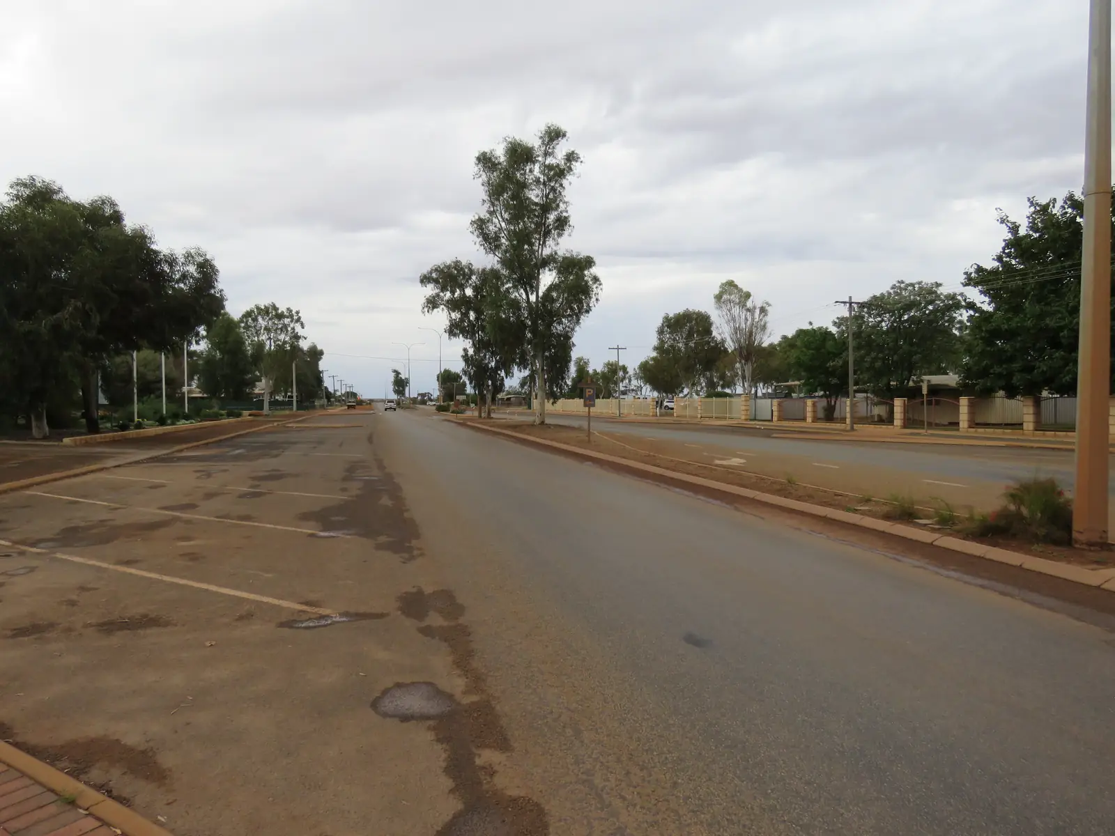
Mount Magnet
Mount Magnet travel guide: Shire of Mount Magnet on the Great Northern Highway, Mining and Pastoral Museum, 37 km Tourist Trail, caravan park and BOM Mount Magnet Aero climate.
Read · 7 min
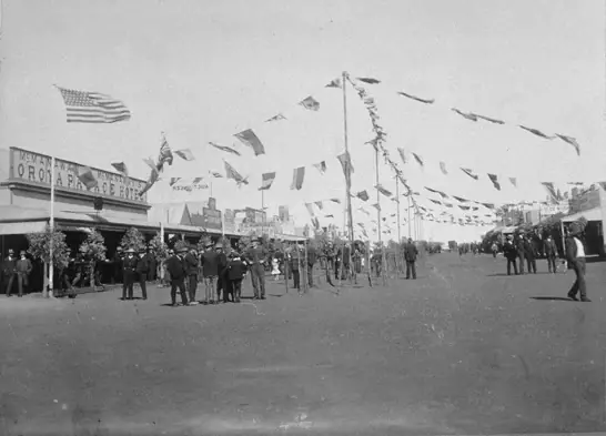
Western Australia · Golden Outback
Sandstone
Sandstone travel guide: Shire of Sandstone in WA’s Golden Outback, Heritage Museum, London Bridge rock on shire heritage listing, Alice Atkinson Caravan Park and BOM Sandstone climate.
Read · 6 min
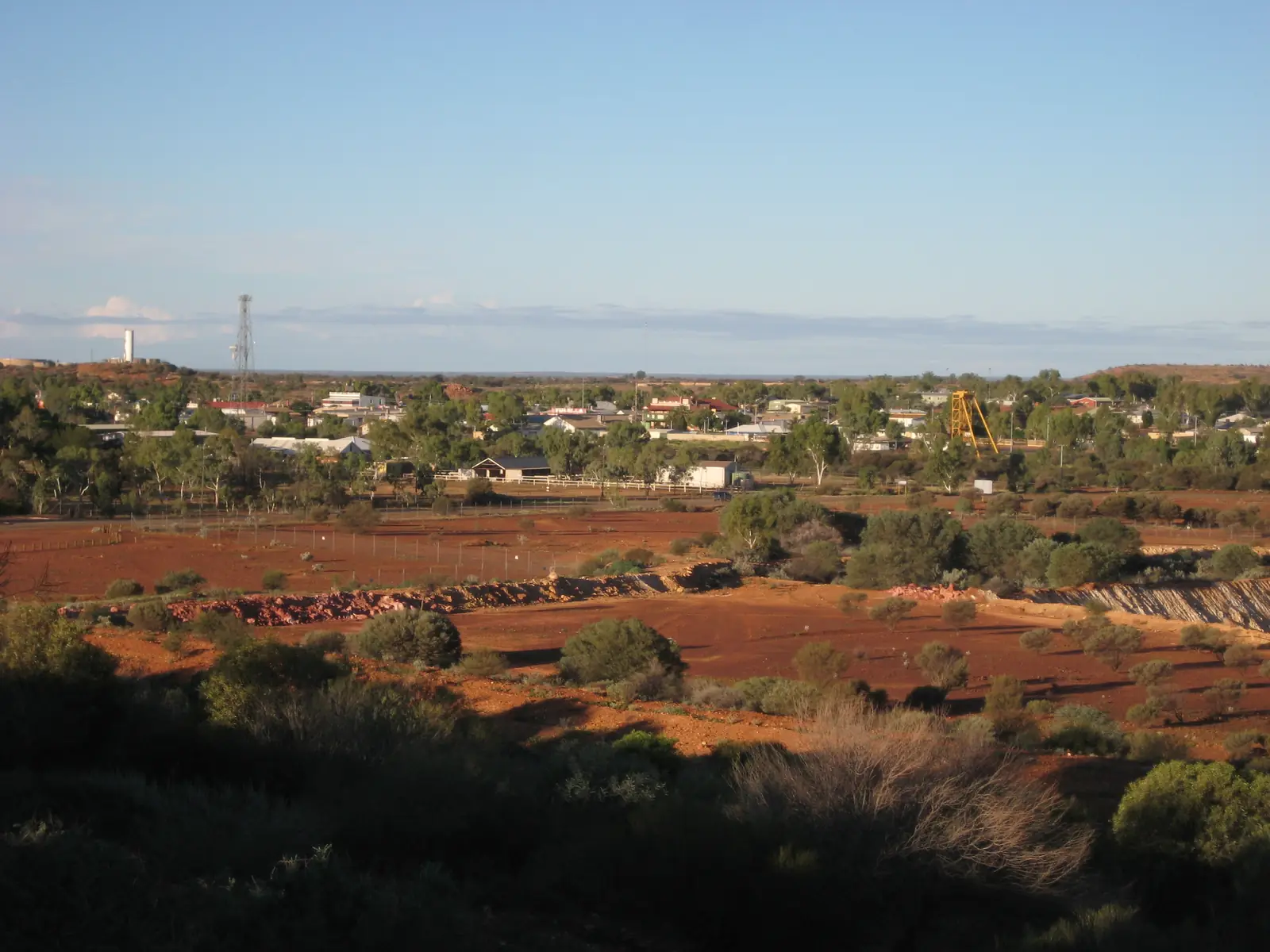
Western Australia · Golden Outback
Meekatharra
Meekatharra travel guide: Shire of Meekatharra on the Great Northern Highway, Peace Gorge, Meeka trails, museum, caravan park types and BOM Meekatharra Airport climate.
Read · 10 min
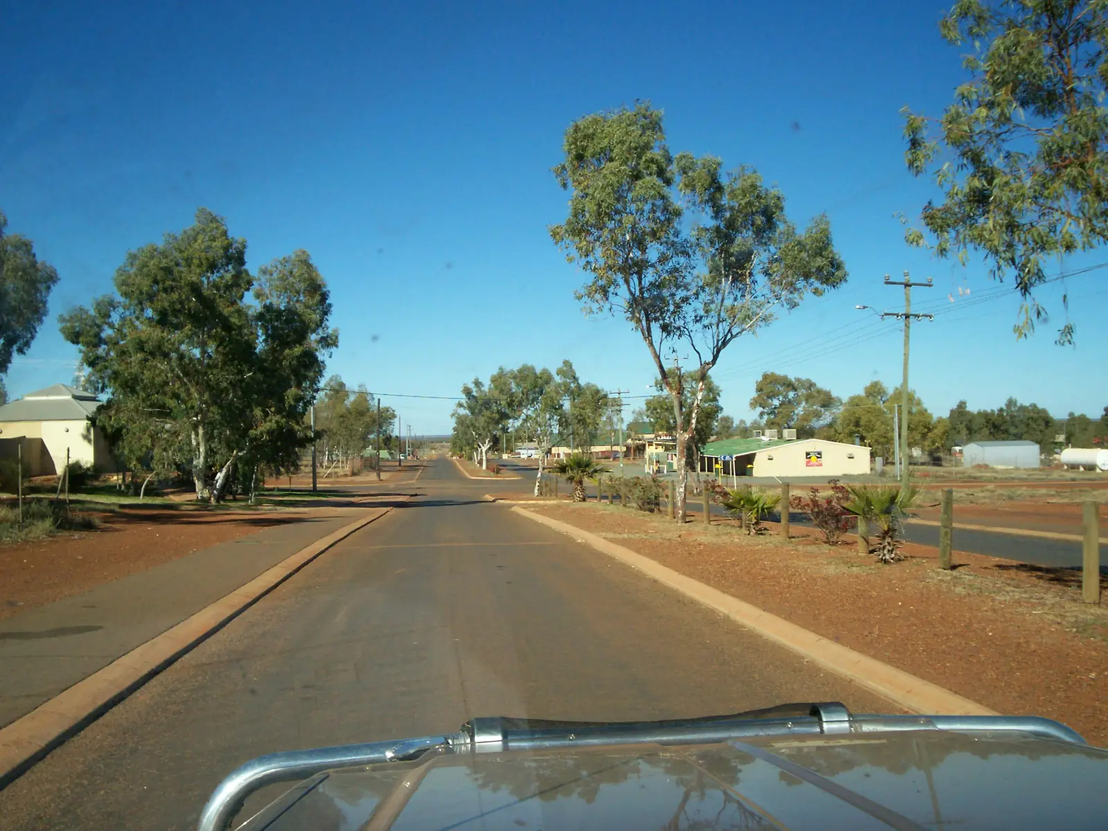
Western Australia · Golden Outback
Wiluna
Wiluna travel guide: Shire of Wiluna on the Goldfields Highway, Canning Stock Route and Gunbarrel gateway, Tjukurba Art Gallery, shire caravan park and BOM Wiluna climate. Follow official permit language.
Read · 11 min
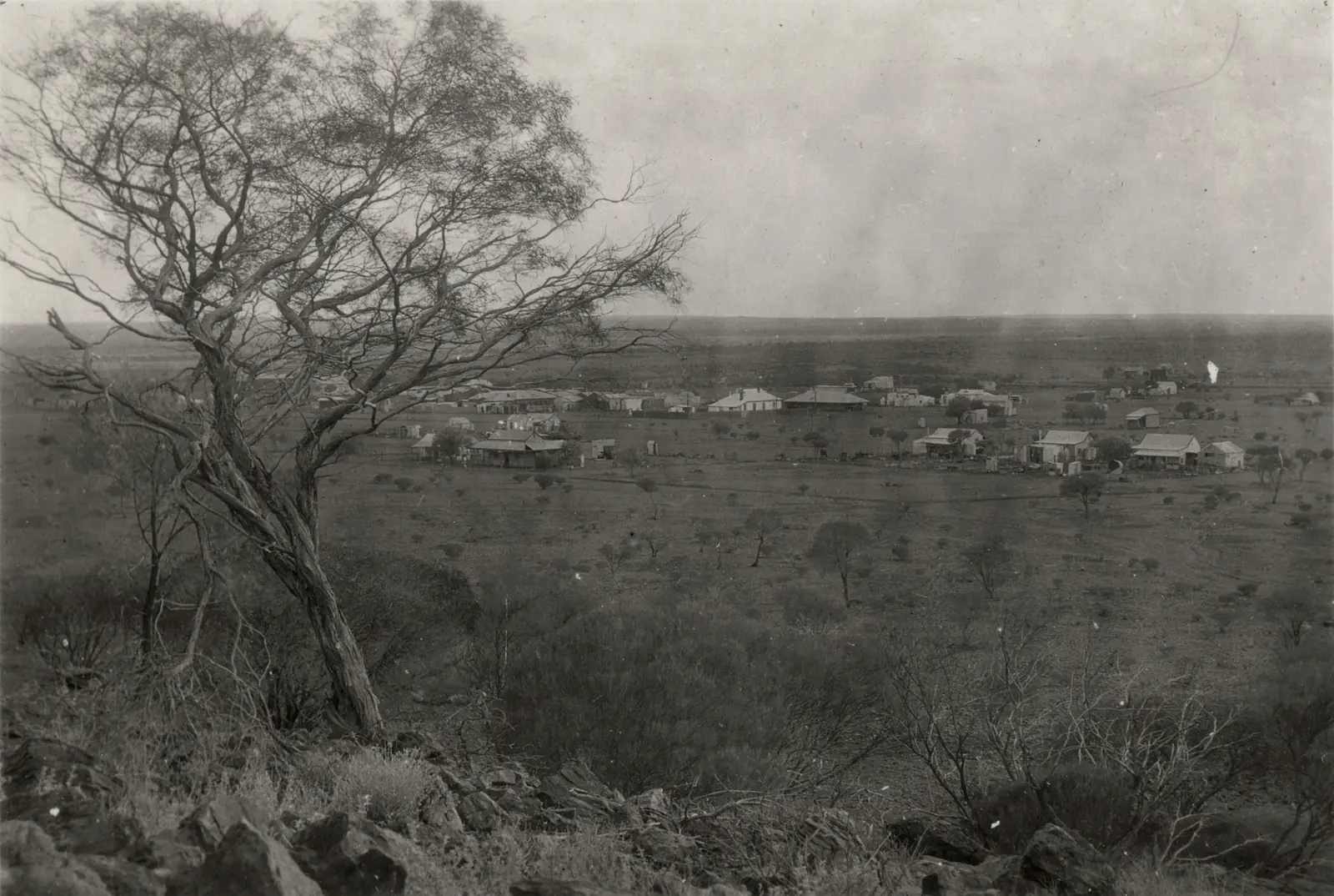
Western Australia · Golden Outback
Laverton WA
Laverton WA travel guide: Goldfields town at the start of the Outback Way / Great Central Road, Great Beyond Visitor Centre, Windarra lookout, permits and BOM Laverton Aero climate. Not Laverton Victoria.
Read · 10 min
Western Australia · Golden Outback
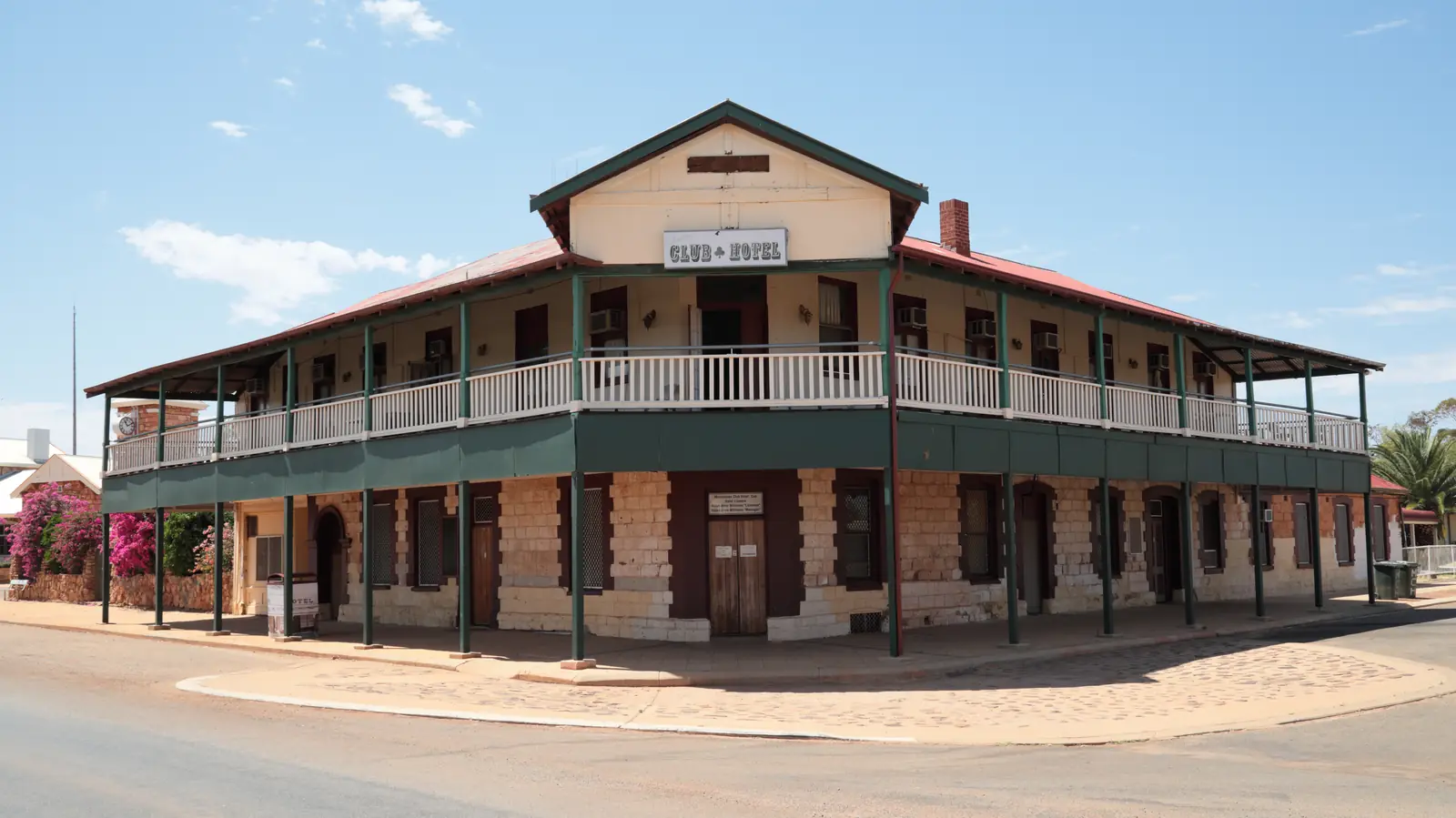
Cue
Cue travel guide: Shire of Cue gold town on the Great Northern Highway between Mount Magnet and Meekatharra — Walga Rock art, Day Dawn, Big Bell, Tourist Park and BOM Cue climate.
Read · 9 min
Western Australia · Golden Outback
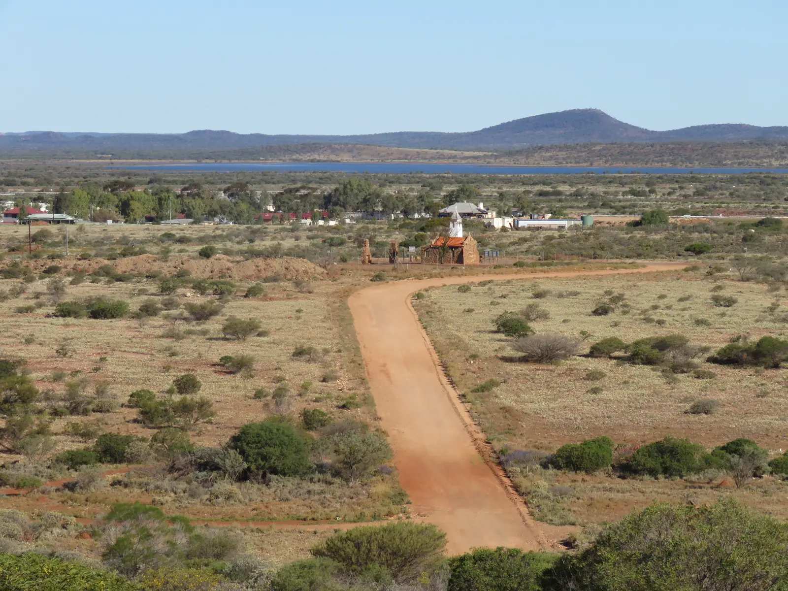
Yalgoo
Yalgoo travel guide: Shire of Yalgoo on the Geraldton–Mount Magnet road — Dominican Chapel of St Hyacinth, railway station, Courthouse Museum, caravan park and BOM Yalgoo climate.
Read · 8 min
Western Australia · Golden Outback
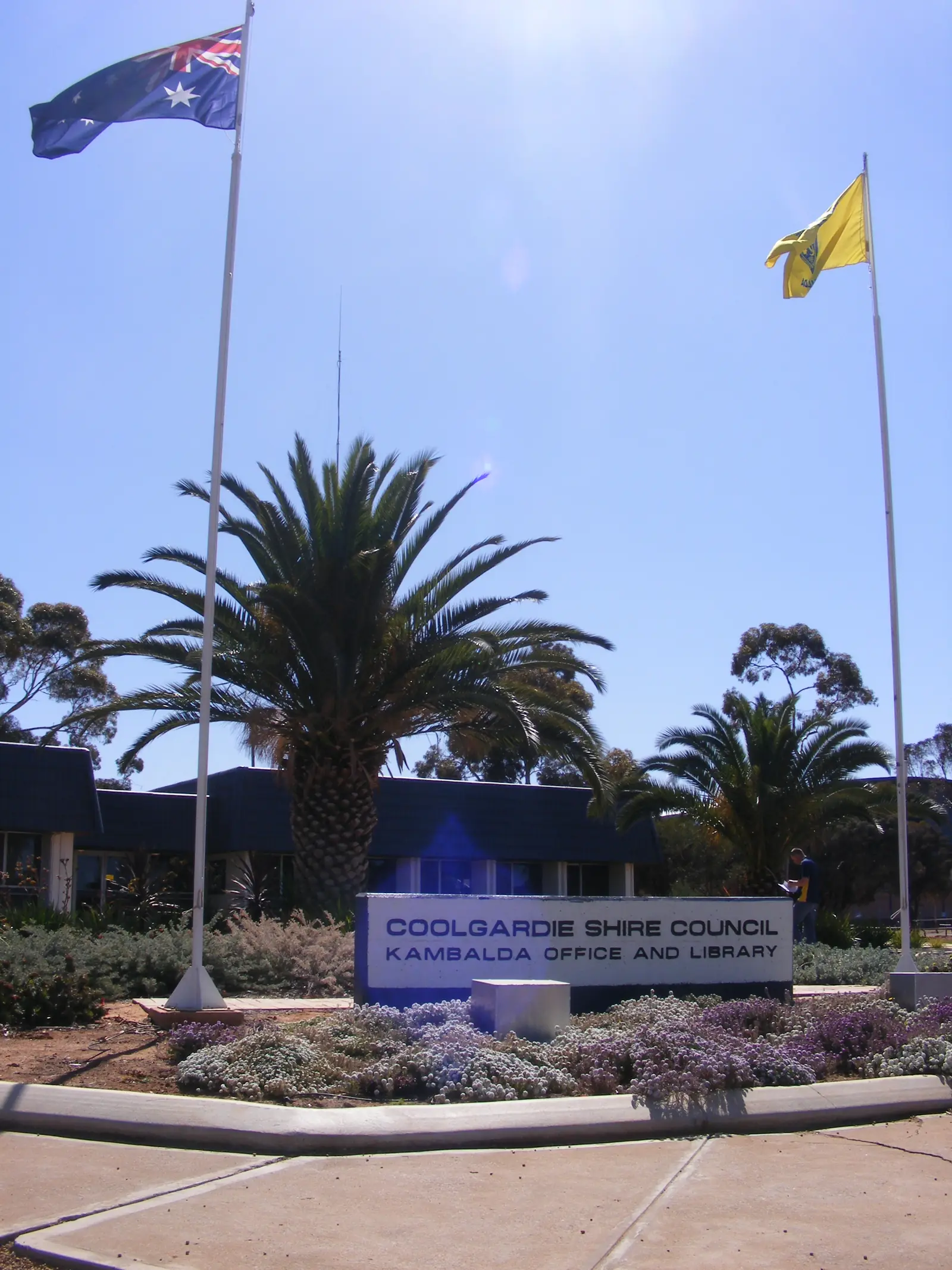
Kambalda
Kambalda travel guide: Shire of Coolgardie Goldfields nickel town south of Kalgoorlie — Kambalda East and West, Red Hill Lookout, Lake Lefroy, 48-hour RV stop and Kalgoorlie-Boulder Airport climate.
Read · 8 min
Western Australia · Golden Outback
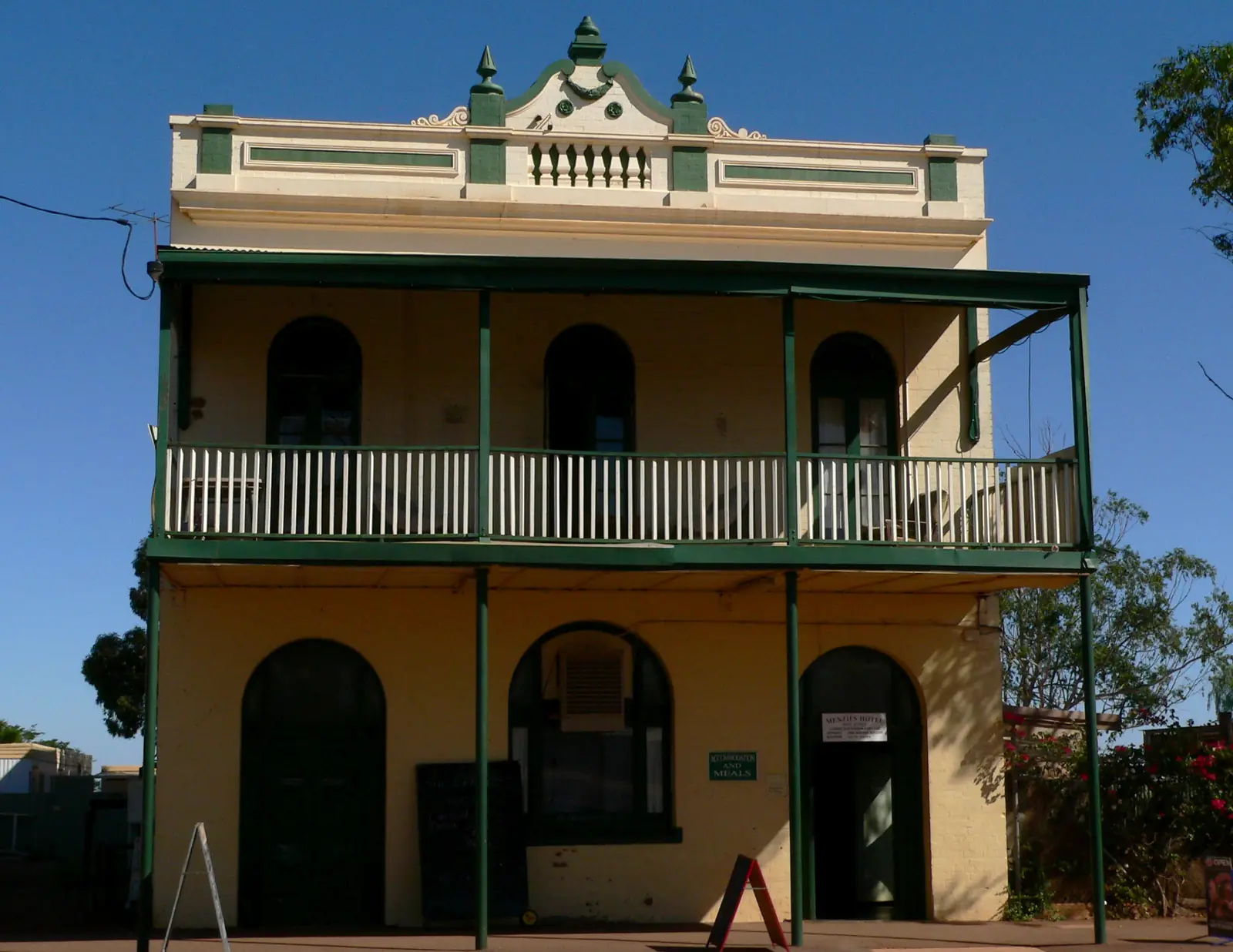
Menzies
Menzies travel guide: Shire of Menzies Goldfields town 730 km east of Perth — Lake Ballard Inside Australia sculptures, Town Hall clock, caravan park and BOM Menzies climate. This is Western Australia, not Victoria.
Read · 10 min
Western Australia · Golden Outback
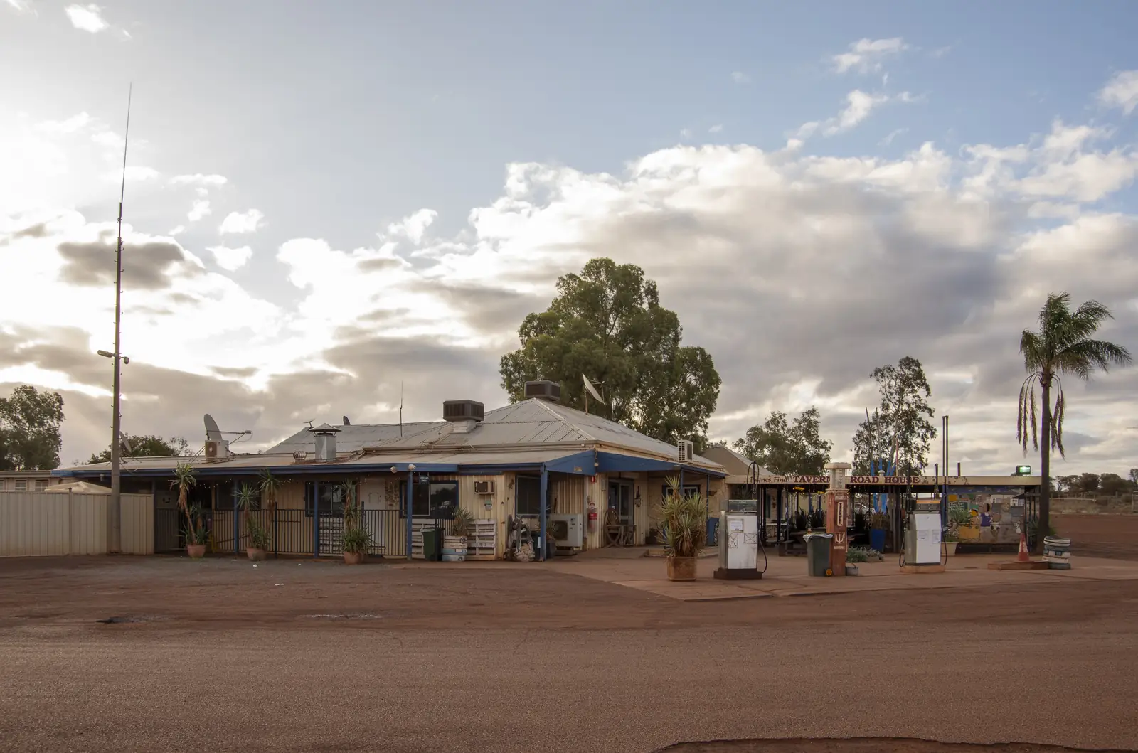
Paynes Find
Paynes Find travel guide: Shire of Yalgoo partner town on the Great Northern Highway — Paynes Find Gold Battery, roadhouse stay, wildflowers and BOM Paynes Find climate. This is Murchison WA, not a Goldfields suburb.
Read · 8 min
Western Australia · Golden Outback
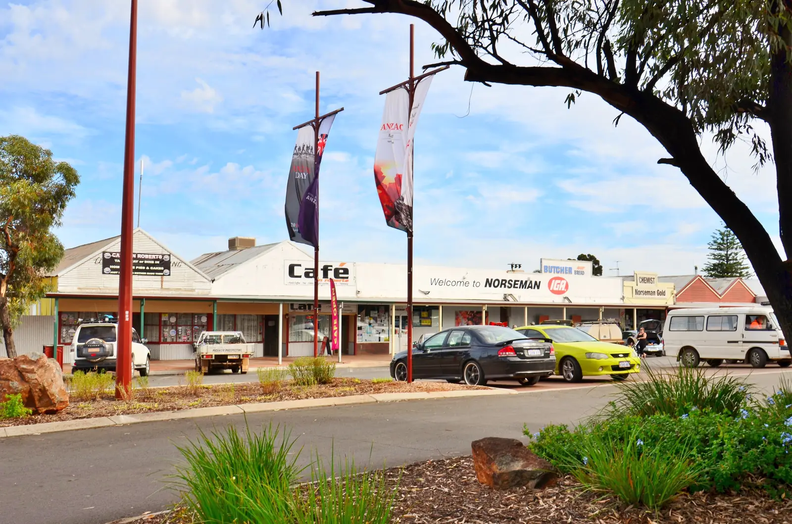
Norseman
Norseman travel guide: Shire of Dundas Goldfields town 726 km from Perth — Eyre Highway start of the Nullarbor, Beacon Hill, Lake Cowan, Woodlands Centre and BOM Norseman Aero climate. This is Western Australia, not Norway.
Read · 7 min
Western Australia · Golden Outback
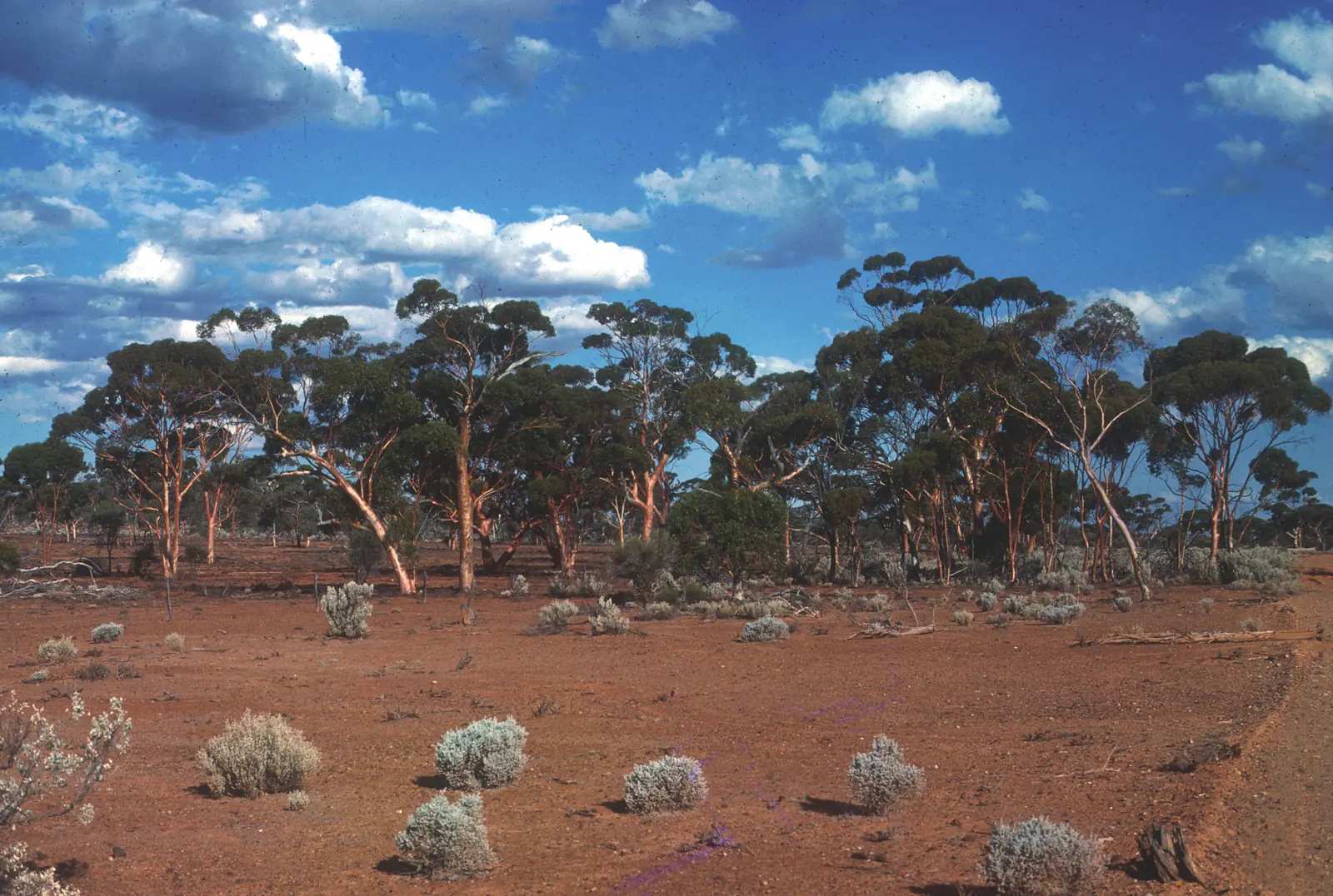
Leinster
Leinster travel guide: Shire of Leonora nickel town 368 km north of Kalgoorlie on the Goldfields Highway — company town from 1976, caravan park, lodge and BOM Leinster Aero climate. This is Western Australia, not Ireland.
Read · 7 min
Western Australia · Golden Outback
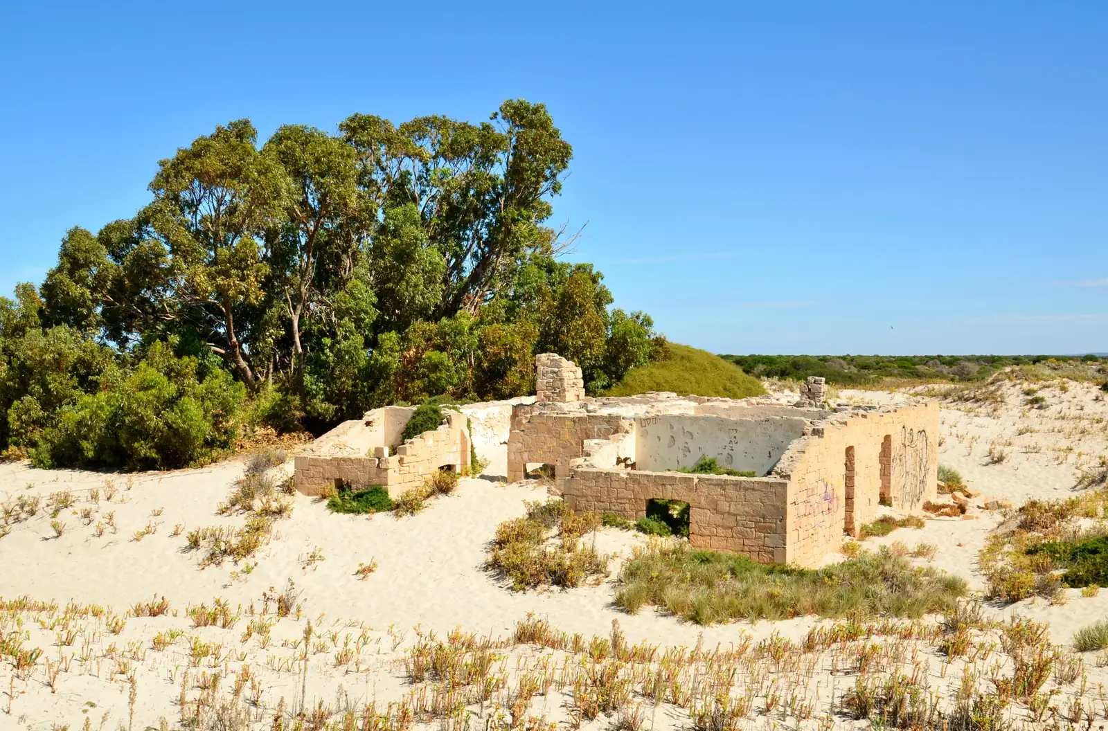
Eucla
Eucla travel guide: Shire of Dundas Nullarbor town 1,430 km from Perth, 10 minutes from the SA border — Old Telegraph Station, museum, Eucla Motor Hotel. This is Western Australia, not a South Australian town page.
Read · 8 min
Western Australia · Golden Outback
Southern Cross
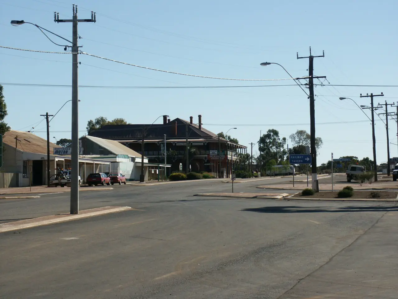
Southern Cross travel guide: Shire of Yilgarn seat 368 km east of Perth on the Great Eastern Highway — gold-rush courthouse museum, Palace Hotel, Wimmera Hill. Goldfields Wheatbelt town, not a second Kalgoorlie.
Read · 7 min
Western Australia · Golden Outback
Mullewa
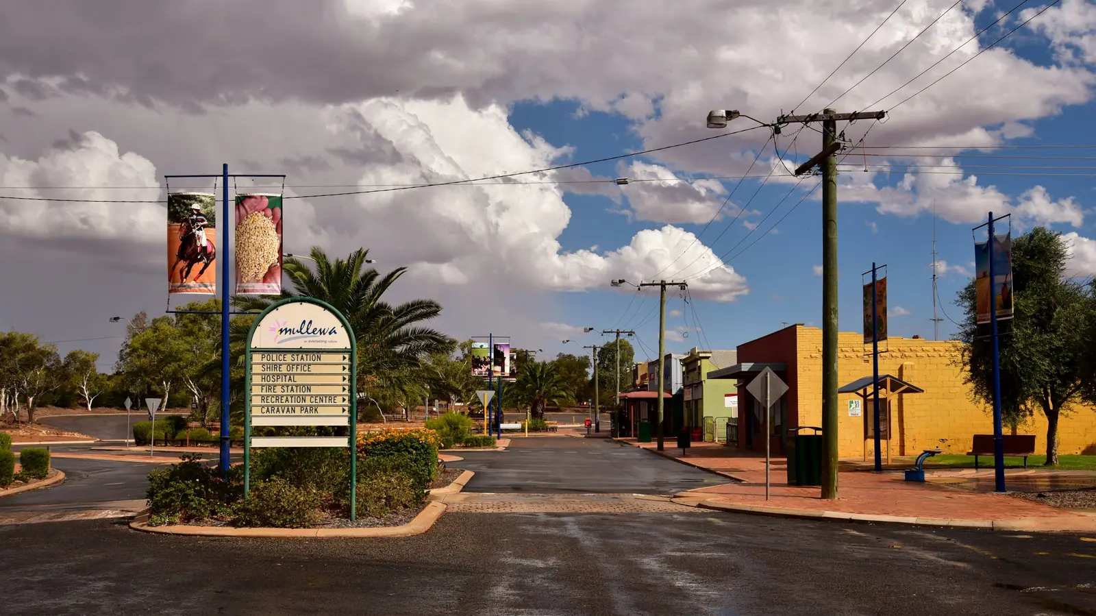
Mullewa travel guide: City of Greater Geraldton Midwest town 98 km east of Geraldton — wreath flowers, Monsignor Hawes church, caravan park and BOM Mullewa climate. Hinterland wildflower town, not a coastal Geraldton page.
Read · 10 min
Western Australia · Golden Outback
Mundrabilla
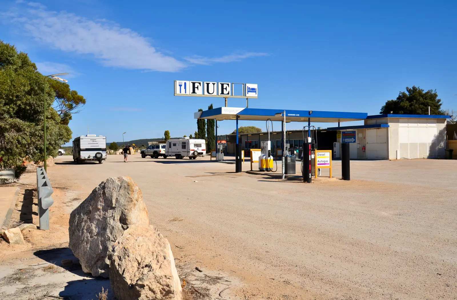
Mundrabilla travel guide: Shire of Dundas Eyre Highway roadhouse 646 km east of Norseman — fuel, motel rooms, powered and unpowered sites, Nullarbor Museum. Western Australian Nullarbor stop, neighbour to Eucla, not a South Australian town page.
Read · 8 min
Western Australia · Golden Outback
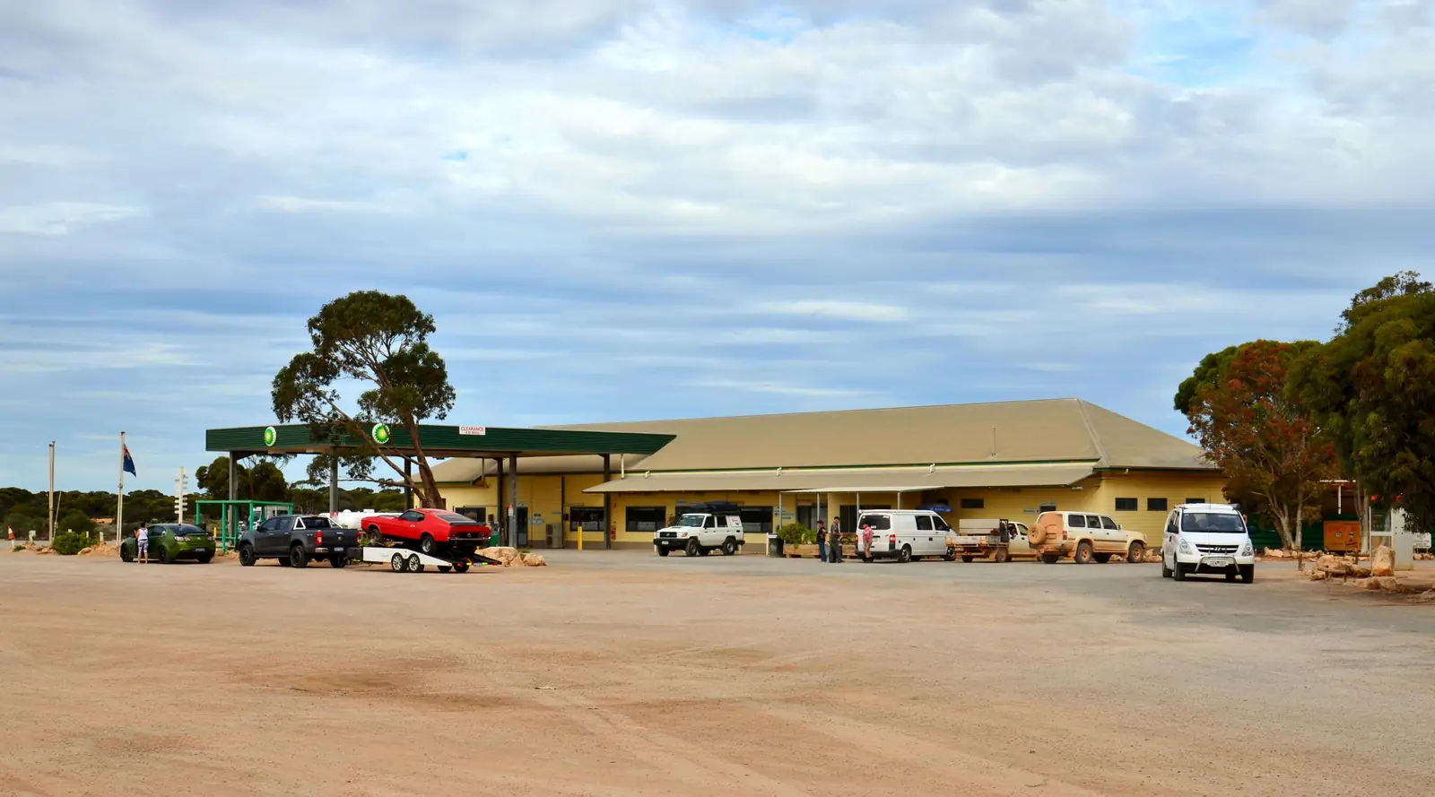
Balladonia
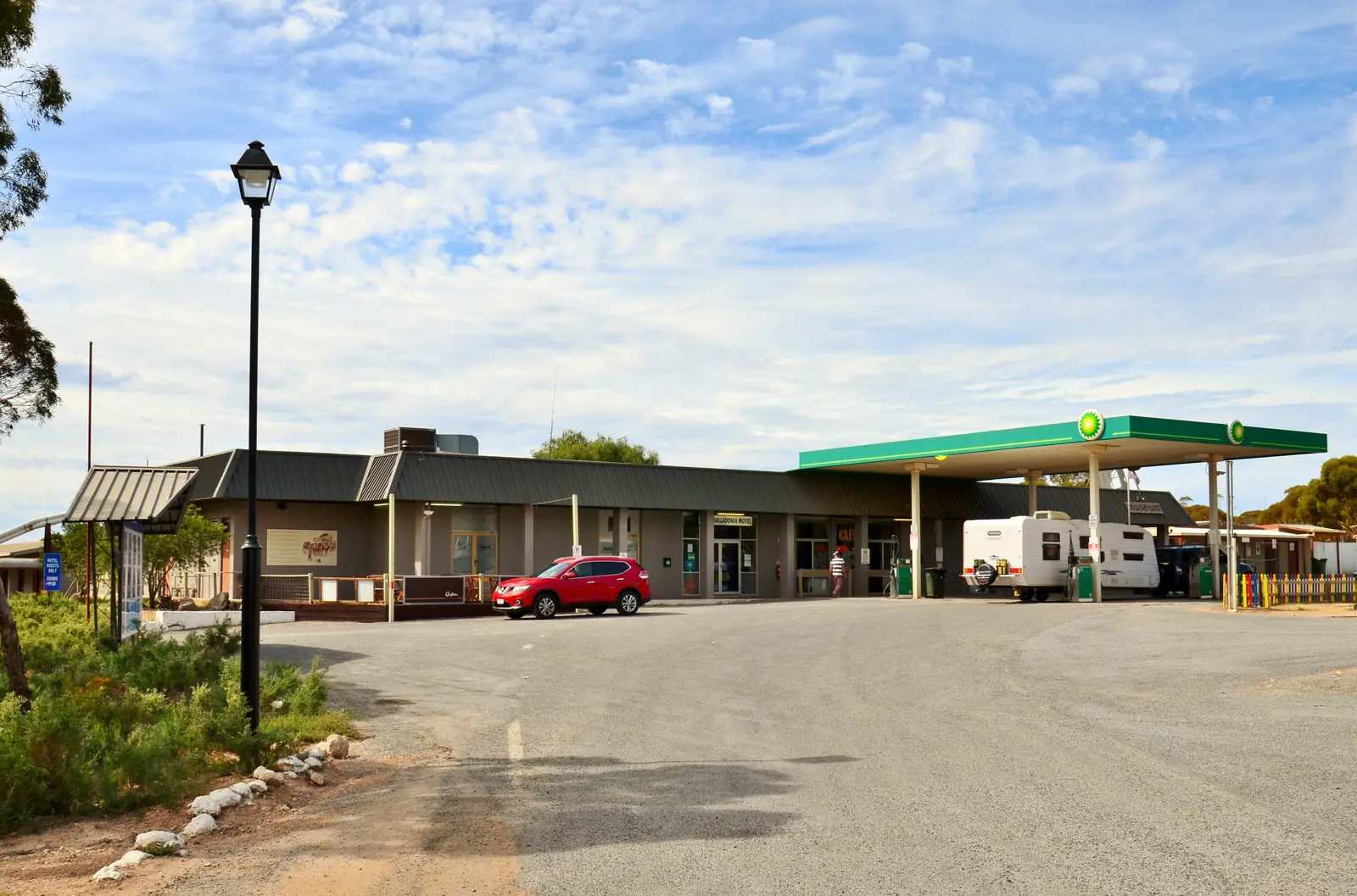
Balladonia travel guide: Shire of Dundas Eyre Highway stop 197 km east of Norseman — Skylab museum, Nullarbor Links 12th hole, Newman’s Rocks, hotel/motel and caravan park. Western Australian Nullarbor, neighbour to Norseman, not a South Australian town page.
Read · 9 min
Western Australia · Golden Outback
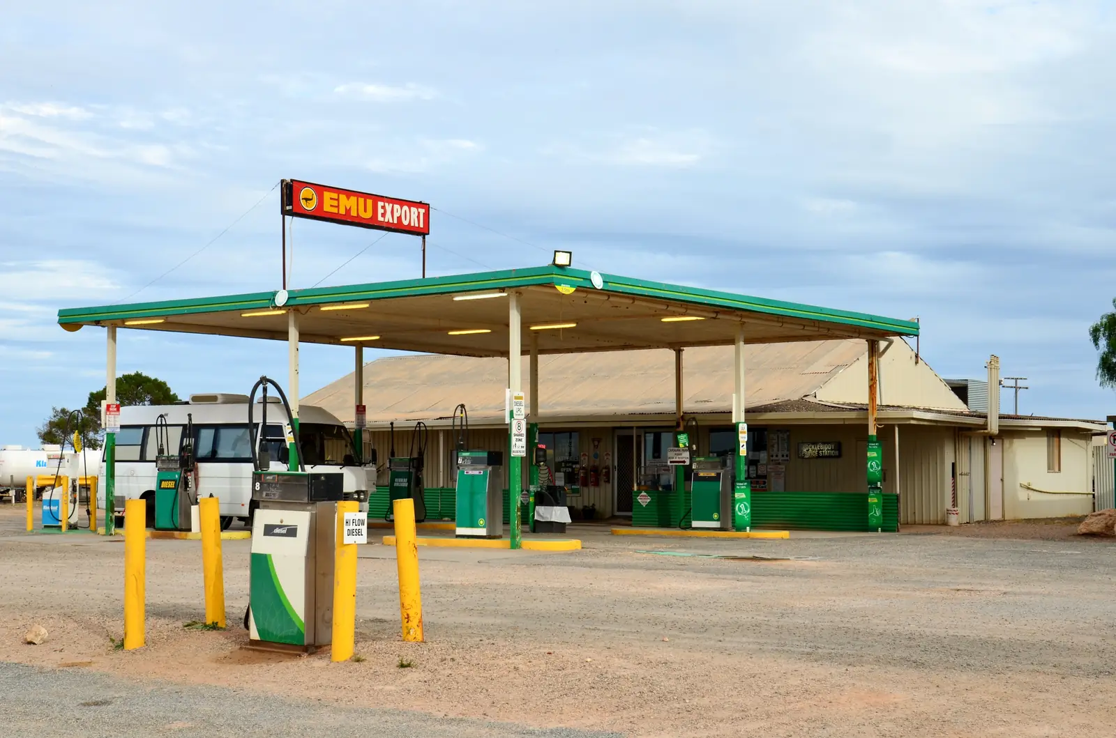
Caiguna
Caiguna travel guide: Shire of Dundas Eyre Highway roadhouse on the 90 Mile Straight — Caiguna Blowhole 5 km west, fuel stop. This is Western Australia Nullarbor, not a South Australian town page.
Read · 7 min
Western Australia · Golden Outback
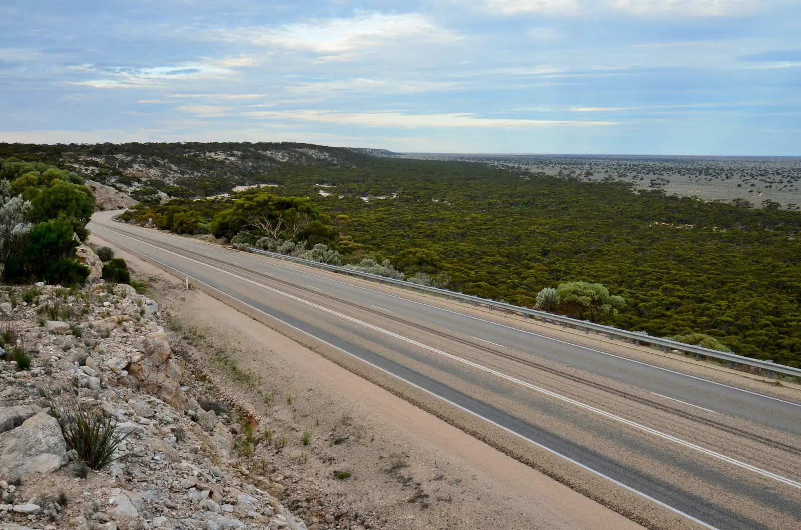
Cocklebiddy
Cocklebiddy travel guide: Shire of Dundas Eyre Highway stop — cave systems, Twilight Cove 32 km south, Eyre Bird Observatory. This is Western Australia Nullarbor, not a South Australian town page.
Read · 6 min
Western Australia · Golden Outback
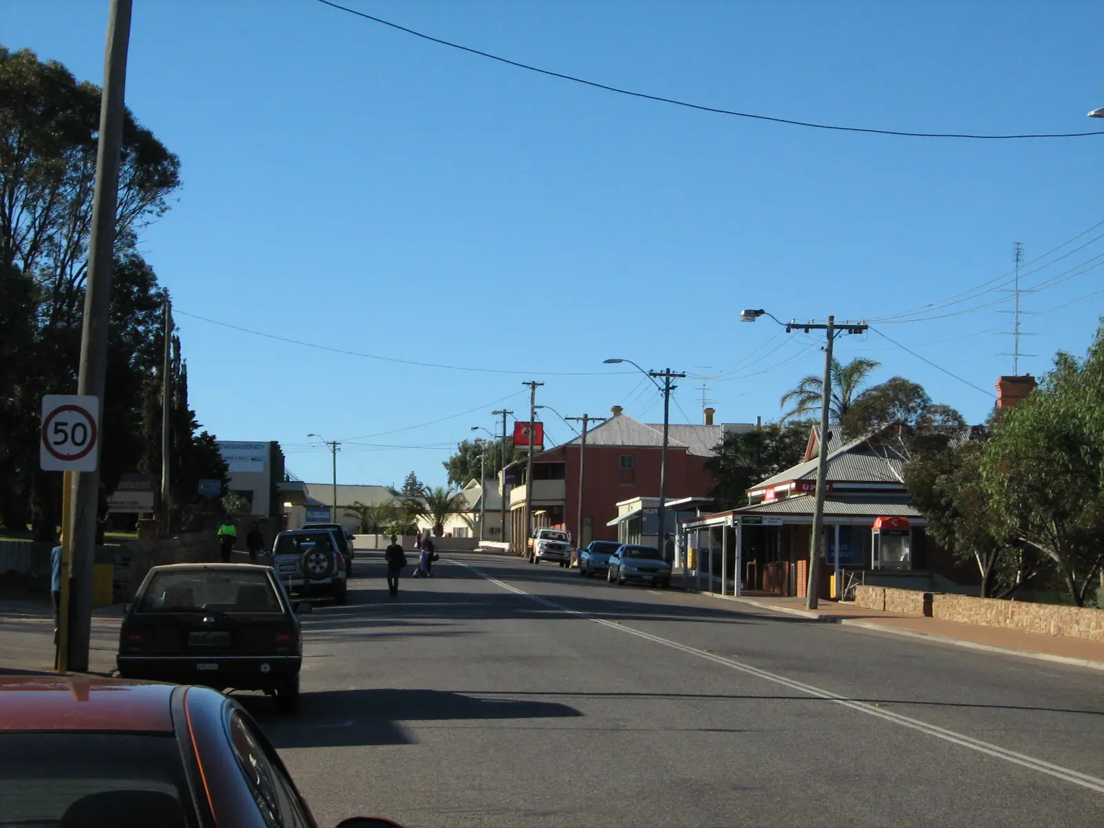
Madura
Madura travel guide: Shire of Dundas Eyre Highway stop at Madura Pass — Roe Plains views, blowhole with a red marker. This is Western Australia Nullarbor, not a South Australian town page.
Read · 6 min
Western Australia · Golden Outback
Northampton
Northampton travel guide: Shire of Northampton Midwest town 475 km from Perth, 40 minutes north of Geraldton — Chiverton House, railway precinct, St Mary’s, quilts in October. This is Western Australia, not Northampton in England.
Read · 8 min
Western Australia · Golden Outback
Merredin
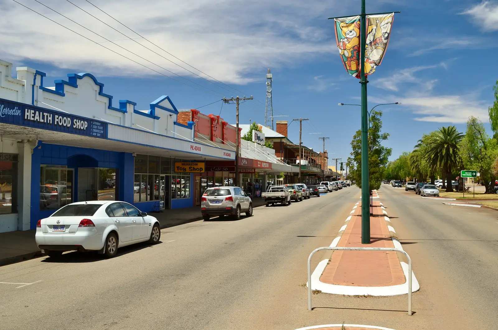
Merredin travel guide: Shire of Merredin Eastern Wheatbelt town on the Great Eastern Highway and Transwa Prospector — Peak Trail, railway and military museums, Cummins Theatre. This is Western Australia, not Merredin Victoria.
Read · 9 min
Western Australia · Golden Outback
Kellerberrin
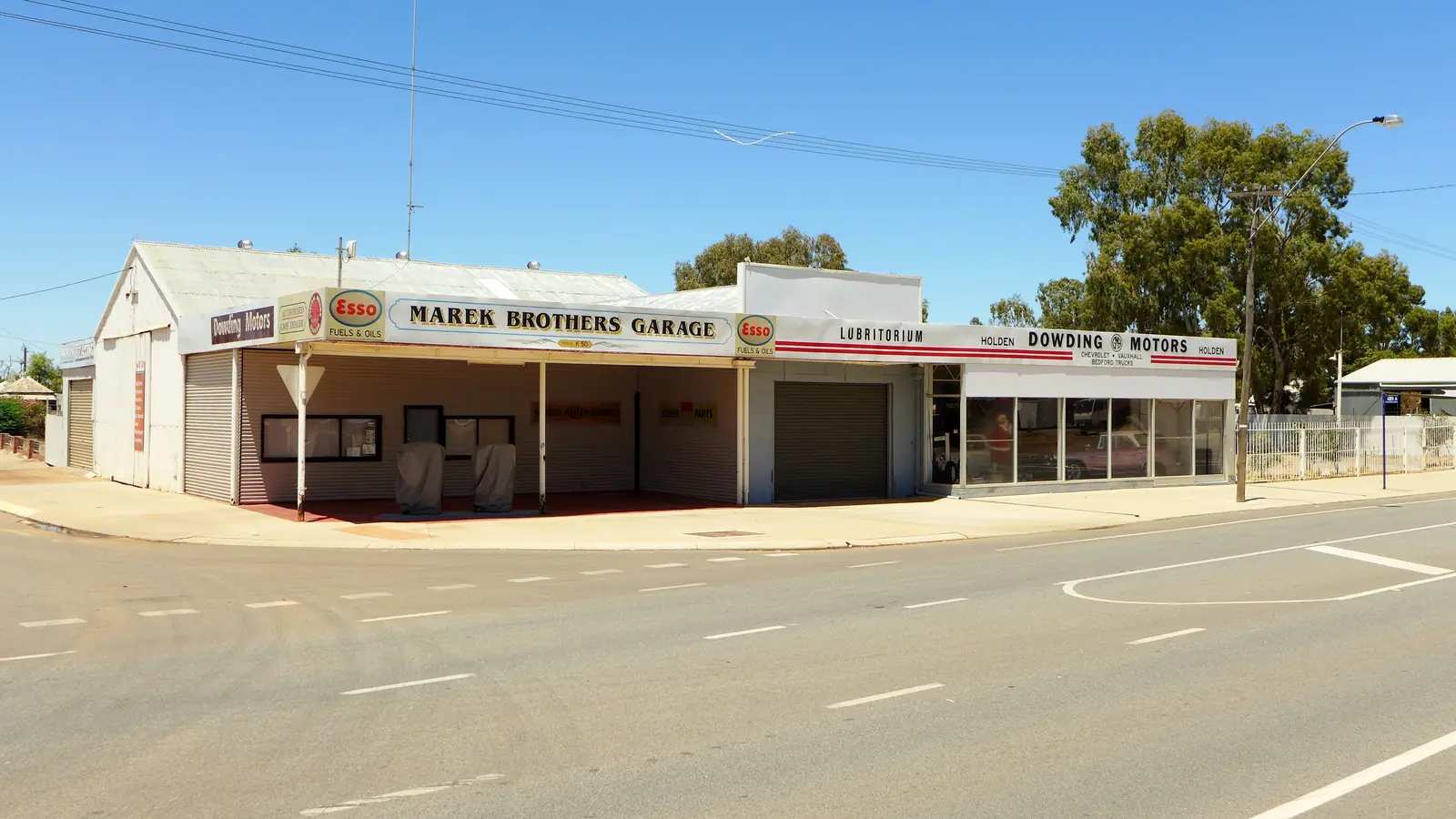
Kellerberrin travel guide: Shire of Kellerberrin Wheatbelt town 2.5 hours east of Perth on the Great Eastern Highway — Folk Museum, Kellerberrin Hill, Kokerbin Rock. This is Western Australia, west of Merredin, not a NSW town page.
Read · 8 min
Western Australia · Golden Outback
Hyden
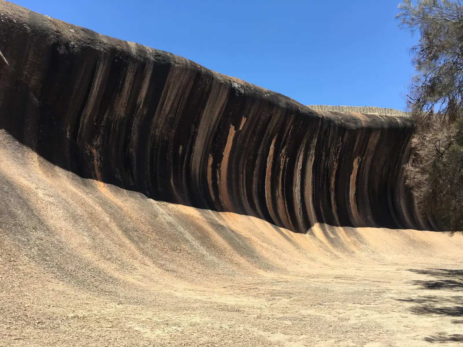
Hyden travel guide: Shire of Kondinin Wheatbelt town four hours east of Perth on Brookton Highway — Wave Rock / Katter Kich, Hippo’s Yawn, Mulka’s Cave. This is Western Australia, not a Perth suburb.
Read · 10 min
Western Australia · Golden Outback
Mingenew
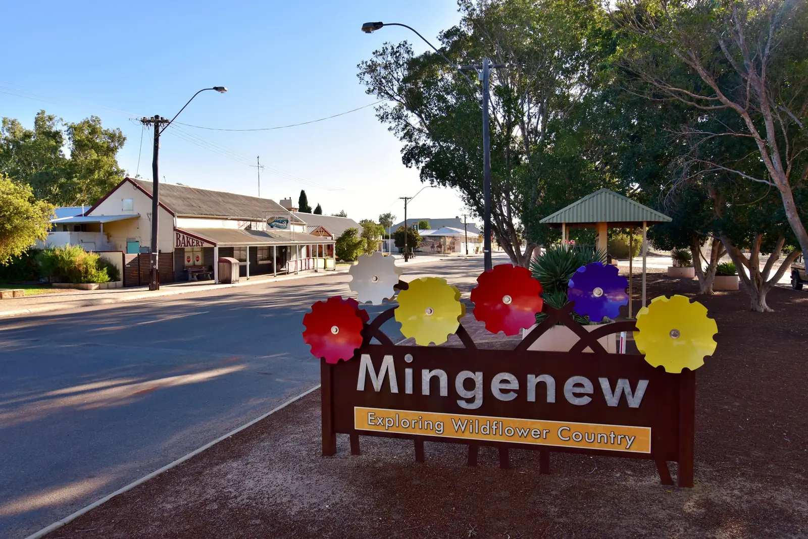
Mingenew travel guide: Shire of Mingenew Midwest wildflower and rail town — Big Ears, CBH grain, Coalseam Conservation Park, Commercial Hotel. Golden Outback hub. Name Geraldton; it has no town page here.
Read · 7 min
Western Australia · Golden Outback
Morawa
Morawa travel guide: Shire of Morawa Golden Outback town — Church of the Holy Cross, Koolanooka Springs and Mine, wreath flowers, museum windmills. Neighbour Mingenew, Mullewa and Northampton. Not Perenjori.
Read · 6 min
Frequently asked questions
Which towns are in the Golden Outback hub?
This hub covers Kalgoorlie-Boulder, Coolgardie, and Leonora with the Gwalia historic precinct, plus Midwest wildflower towns including Mullewa, Northampton, Mingenew and Morawa. The wider Tourism WA Golden Outback region also includes wheatbelt and desert country; those extra towns are not all rebuilt yet.
How far is Kalgoorlie from Perth?
About 595 km east on the Great Eastern Highway, roughly six to seven hours' drive. The Prospector train and flights also connect Perth and Kalgoorlie.
Can you see the Super Pit without a tour?
Yes. The KCGM Super Pit Lookout is free and listed as open daily from 7 am to 7 pm, off the Goldfields Highway via Mount Monger Road. Confirm hours and blast times with the Kalgoorlie-Boulder visitor centre.
Is the road to the Nullarbor sealed?
The Eyre Highway from Norseman to South Australia is sealed. Coolgardie and Kalgoorlie sit on the Great Eastern Highway. Check the Main Roads WA travel map for incidents and any unsealed side trips.
Sources and further reading
Facts on this page were checked against these primary and official sources. Conditions change — confirm before you travel or buy.
- Main Roads WA travel map — Main Roads Western Australia
- Kalgoorlie-Boulder visitor centre — City of Kalgoorlie-Boulder
- Museum of the Goldfields — WA Museum
- Golden Pipeline Heritage Trail — Golden Pipeline Heritage Trail
- Tourism Western Australia — Tourism Western Australia
- Explore Parks WA — Parks and Wildlife Service WA