At a glance
Sourced facts only. Distances and services change — confirm before you travel.
- Population
- 586 people (UCL121002, 2021 Census)
- Local government
- Warrumbungle Shire
- Traditional Owners
- Gamilaraay / Gamilaroi people named by NPWS and Destination NSW for Sandstone CavesWarrumbungle Shire’s thematic history places the shire at the meeting of Gamilaraay (northeast), Wiradjuri (south) and Wayilwan (west) Country. Confirm wording at the Pilliga Forest Discovery Centre.
- Nearest regional city
- Coonabarabran, 45 km south-east (Visit NSW; Warrumbungle Region Camp Cypress listing)
- Nearest fuel
- Confirm bowsers in Baradine or Coonabarabran; this guide does not name a brand
- Nearest hospital or clinic
- Baradine Health Service, 37A Macquarie Street — 24-hour emergency (NSW Health / Western NSW LHD)
- Mobile coverage
- Check Telstra and Optus coverage maps before travel; NPWS notes limited mobile reception in Pilliga Forest.
- Best time to visit
- Autumn for walking and camping (NPWS). May–September cooler BOM Baradine Forestry mean maxima. Summer in the forest often exceeds 40 °C on the NPWS visitor-info page.
Climate
Monthly means from the Bureau of Meteorology station Baradine Forestry (053002). This is not a forecast. Open. Commenced 1944. Elevation 302 m. Mean maximum 51 years (1944–2011); rainfall 71 years (1944–2026).
| Month | Mean max (°C) | Mean min (°C) | Rainfall (mm) |
|---|---|---|---|
| Jan | 33.5 | 18.4 | 79.1 |
| Feb | 32.4 | 18.3 | 63.9 |
| Mar | 30.3 | 15.3 | 50.7 |
| Apr | 25.8 | 10.2 | 36.0 |
| May | 21.0 | 6.5 | 42.5 |
| Jun | 17.4 | 3.6 | 40.5 |
| Jul | 16.6 | 2.3 | 39.9 |
| Aug | 18.4 | 3.1 | 38.0 |
| Sep | 22.0 | 6.0 | 40.3 |
| Oct | 26.1 | 9.8 | 55.5 |
| Nov | 29.3 | 13.2 | 55.7 |
| Dec | 32.5 | 16.3 | 62.0 |
Baradine in pictures
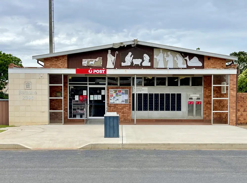
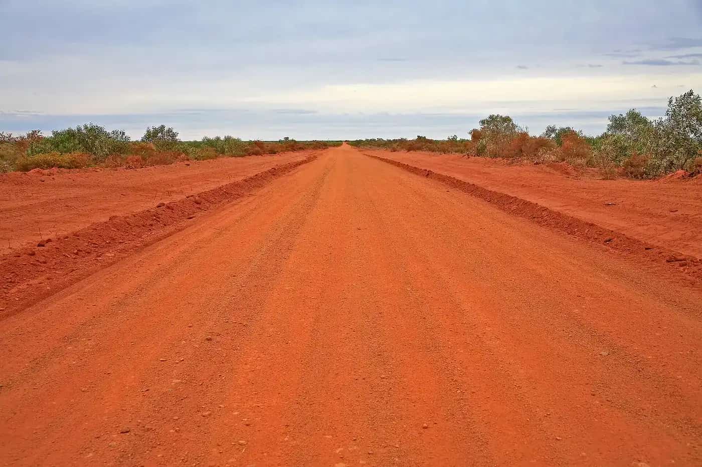
Baradine Post Office, Baradine, NSW, 2021Photo: Kgbo · CC BY-SA 4.0 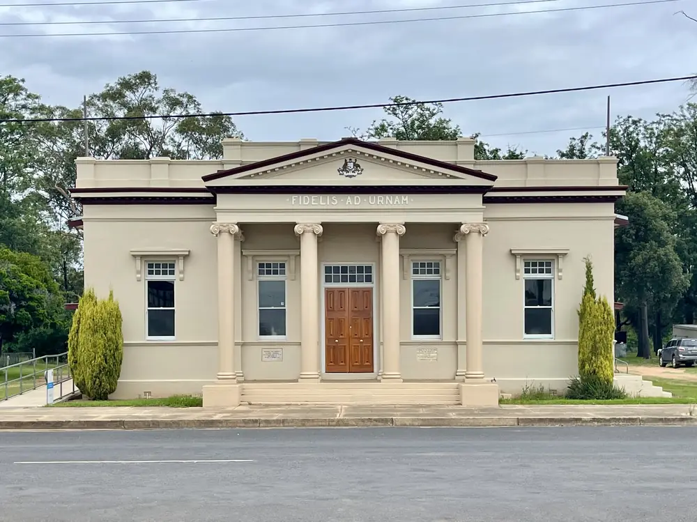
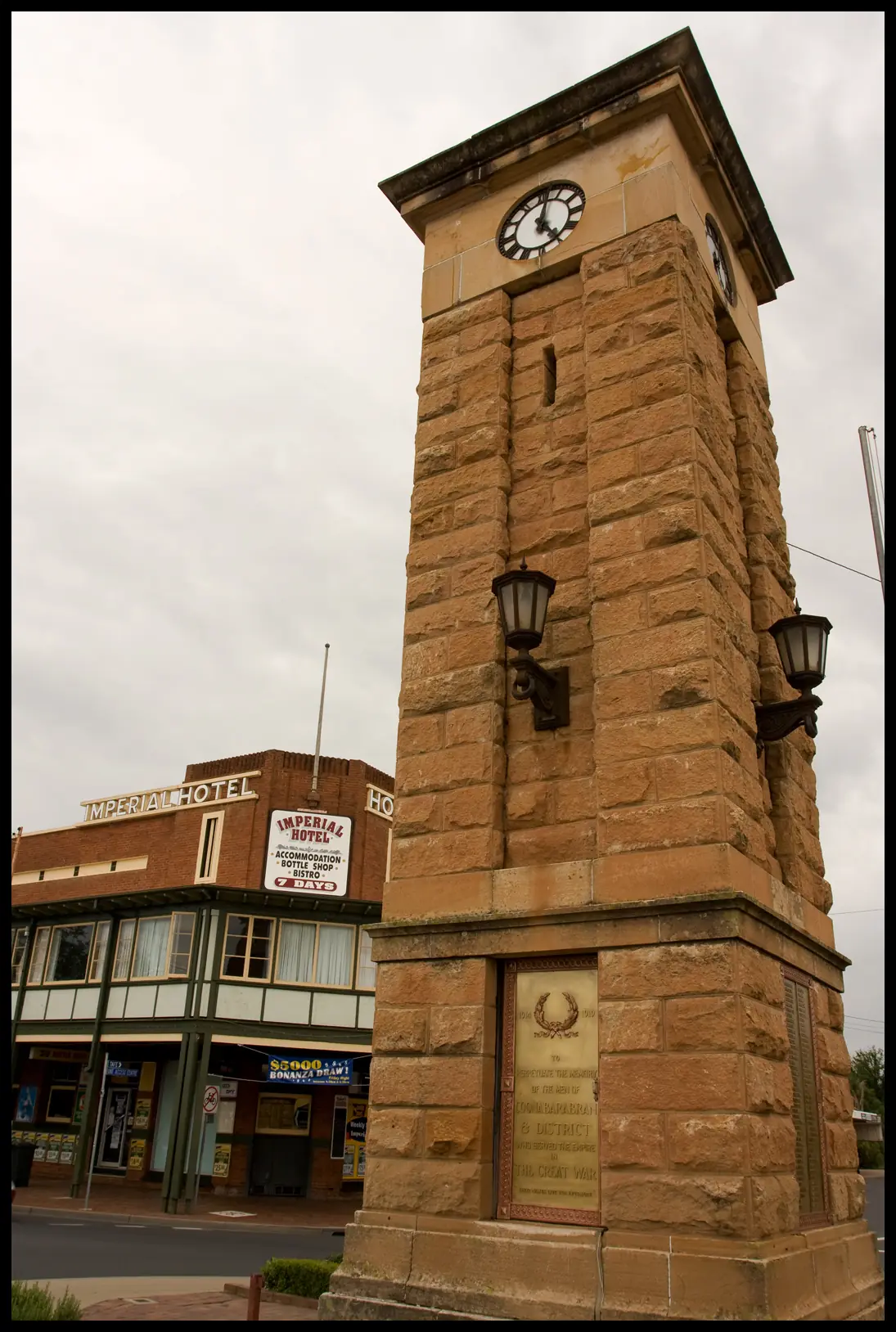
Baradine and District Soldiers Memorial, Baradine, NSW, 2021Photo: Kgbo · CC BY-SA 4.0 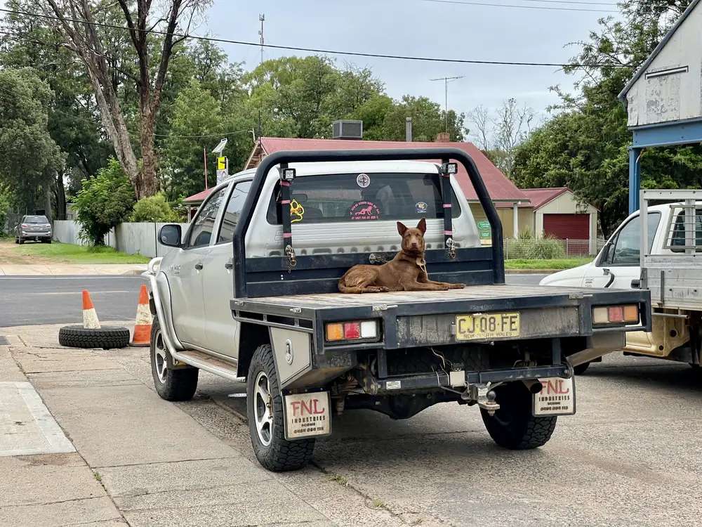
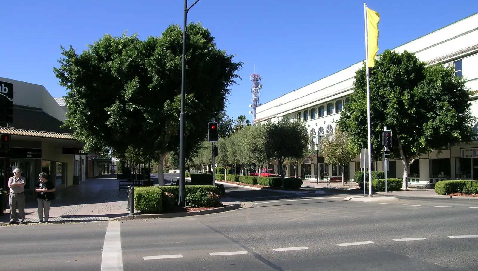
At the Service Station, Baradine, NSW, 2021Photo: Kgbo · CC BY-SA 4.0 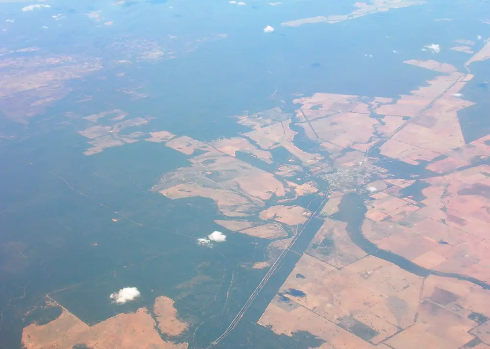
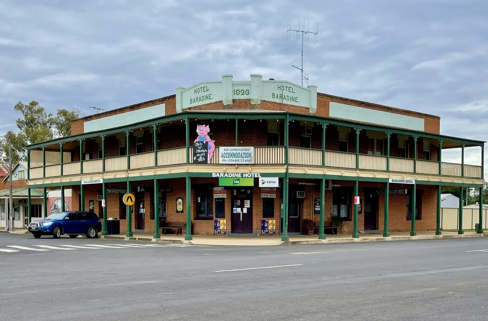
Baradine, New South WalesPhoto: brewbooks from near Seattle, USA · CC BY-SA 2.0
Baradine sits in Warrumbungle Shire, 45 kilometres north-west of Coonabarabran, on Visit NSW’s wording. It is the gateway to Pilliga Forest. Visit NSW says so twice: once on the Baradine page and once on the forest page that puts the landscape close to Baradine. This hub is the Warrumbungle Shire town. Pilliga village, with the Narrabri Shire bore baths, is a different council. Moree is the artesian-centre neighbour on this New England North West hub. Forest roads are unsealed and dry weather only on the NPWS visitor-info page. Start at the discovery centre on Wellington Street, then check Live Traffic NSW before a Sandstone Caves or Sculptures in the Scrub drive.
Use the urban-centre Census for the town. The 2021 urban centre Baradine (L), UCL121002, counted 586 people, median age 50, sex split 48.6% male / 51.4% female. Suburbs-and-localities SAL10191 counted 783, median age 50, 49.6% male / 50.4% female. Aboriginal and/or Torres Strait Islander people were 19.1% of the UCL and 16.7% of the SAL. Do not add those codes together. Read the ABS UCL QuickStats.
Travellers stop for the Pilliga Forest Discovery Centre, forest drives, Sandstone Caves, Sculptures in the Scrub and Camp Cypress. This hub is the town. Coonabarabran remains the Astronomy Capital story on this site.
Where it is, and how far
Baradine is north-west of Coonabarabran off the Newell Highway corridor. Visit NSW is the source for 45 km. Warrumbungle Region’s Camp Cypress listing repeats 45 kilometres north-west from Coonabarabran and the Newell Highway, and puts the camp less than two kilometres from town services. This hub does not invent a Sydney or Moree kilometre.
| Place | Distance from Baradine (sourced) |
|---|---|
| Coonabarabran | 45 km south-east (Visit NSW; Camp Cypress listing) |
| Newell Highway | 45 km on the Camp Cypress wording |
| Camp Cypress | Baradine Showground, Lachlan Street, less than 2 km from town services (Warrumbungle Region) |
| Pilliga Forest Discovery Centre | 50–58 Wellington Street, in town (NPWS) |
Pilliga village is the Narrabri Shire baths neighbour. BOM lists Baradine Forestry 33.3 km from closed Pilliga West Forestry as a station-to-station figure, not a driving distance.
Facts at a glance
Population. ABS 2021 Census, Urban Centres and Localities UCL121002: 586 people. Median age 50. Families 125. Private dwellings 292. Use the UCL for the town. SAL10191 is 783.
Climate. Bureau of Meteorology station BARADINE FORESTRY, 053002. Location 30.95°S, 149.07°E, elevation 302 m. Commenced 1944. Status: open. Mean maximum (51 years, 1944–2011): January 33.5 °C, July 16.6 °C, annual 25.4 °C. Mean minimum (51 years, 1944–2008): January 18.4 °C, July 2.3 °C, annual 10.2 °C. Mean rainfall (71 years, 1944–2026): annual 625.6 mm. Full columns: BOM Baradine Forestry. NPWS: summer in the forest often exceeds 40 °C. See Baradine weather.
Visitor information. Pilliga Forest Discovery Centre, 50–58 Wellington Street, 9am to 4pm daily, closed Christmas Day, (02) 6843 4011, pfdc@environment.nsw.gov.au. Coonabarabran Visitor Information Centre, Newell Highway, 1800 242 881 / (02) 6849 2144, open 7 days 9am–5pm except 25 December (Warrumbungle Region).
Traditional Owners
NPWS asks visitors to walk at Sandstone Caves to learn about an important Aboriginal site and the Gamilaraay People’s connections to this landscape. Destination NSW uses Gamilaroi for the same caves and notes a guided Discovery tour. Warrumbungle Shire’s thematic history, used on this site’s Coonabarabran guide, places the shire at the meeting of Gamilaraay (northeast), Wiradjuri (south) and Wayilwan (west) Country. Baradine sits on the forest side of that description. Confirm wording at Wellington Street. Read visiting Country respectfully.
History
This hub does not invent a gazettal year that was not on the Visit NSW and NPWS pages fetched. What those pages do record is a timber and forest town that now holds the NPWS discovery centre for a landscape of more than half a million hectares and 2,000 km of public trails — Pilliga Nature Reserve, Timmallallie National Park, Pilliga West and East State Conservation Areas. Visit NSW: the Pilliga Mouse is unique to the forest; koalas, kangaroos, possums, emus, echidnas and goannas are named on the Baradine page.
Sculptures in the Scrub, on the NPWS campground page, sit in Dandry Gorge in Timmallallie: five art pieces revealing cultural history of the Pilliga, once a secret location of the Aboriginal Gamilaraay people, now a place to share. That is a park sentence, not a town-museum catalogue.
Things to do
Pilliga Forest Discovery Centre — start here. Maps, track advice, fire and flood closures. (02) 6843 4011.
Pilliga Forest drives and walks — NPWS and Visit NSW. Dry weather only. Coonabarabran–Baradine–Warrumbungle scenic drive is named by NPWS.
Sandstone Caves — Gamilaraay / Gamilaroi site. Guided Discovery tour on Visit NSW’s forest page. Ask at the centre.
Sculptures in the Scrub — Timmallallie National Park, 3 km return walking track, campground. Get a map first.
Bird routes — Visit NSW Baradine page; Camp Cypress listing names Baradine bird routes and Salt Caves Dam for glossy black cockatoos on the operator page, which this hub treats as a local tip to confirm at the discovery centre rather than as a NPWS timetable.
Warrumbungle National Park — named as a nearby attraction on the Camp Cypress listing. Use the Coonabarabran guide and NPWS. Dark Sky Park story sits there. See stargazing and dark skies.
Where to stay
Official named stay types:
- Camp Cypress Cabin and Caravan Park — Baradine Showground, Lachlan Street; air-conditioned cabins, 20 powered sites, general camping, dump site, barbecue, laundry (Warrumbungle Region / Visit NSW). Phone (02) 6843 1035
- Sculptures in the Scrub campground — NPWS, unpowered, booking fee on the park page
- Salt Caves campground — Visit NSW forest page
- Coonabarabran rooms — 45 km if Baradine is full
Those are official named types, not a ranked inventory. Confirm at (02) 6843 4011 or 1800 242 881.
- How to choose: Baradine accommodation
- Camping detail: Baradine caravan parks
- Operator enquiries: feature your business
Caravan and camping
Vans use Baradine as the forest overnight with a dump point. Visit NSW: 24-hour dump at the corner of Wellington and Darling Streets in Lions Park. Official named camps are Camp Cypress and designated Pilliga Forest areas. Read Baradine caravan parks. After rain, NPWS dry-weather rule first.
Fuel and services
A town of 586 people (UCL) is larger than Pilliga village and still smaller than Coonabarabran. This guide does not list bowser brands. Visit NSW names the discovery centre and Camp Cypress. Warrumbungle Region names town services less than two kilometres from Camp Cypress. Fill when you can; Coonabarabran is 45 km. Carry water. January’s mean maximum at Baradine Forestry is 33.5 °C.
For current questions, use the discovery centre (02) 6843 4011 and Coonabarabran VIC 1800 242 881.
Road access
Visit NSW and Camp Cypress place Baradine 45 km from Coonabarabran and the Newell. NPWS forest roads are unsealed, 2WD, dry weather only. Check Live Traffic NSW. Do not drive around closed signs to keep a cave tour. Road trains use the Newell; the Baradine road is the forest approach, not a freeway. See road trains.
Nearby parks and towns
Parks:
- Pilliga National Park / Pilliga Forest
- Warrumbungle National Park — via Coonabarabran
Towns on this site:
- Coonabarabran — 45 km; Warrumbungles, Siding Spring
- Moree — artesian aquatic centre
- Pilliga — Narrabri Shire baths village
When to go, and how long
NPWS: autumn for walking and camping; summer often over 40 °C; winter nights very cold. Baradine Forestry January 33.5 °C / July 16.6 °C is the town-station picture. See Baradine weather.
One night covers the discovery centre and a short forest drive if tracks are open. Two nights if you add Sandstone Caves, Sculptures in the Scrub and a Camp Cypress rest. Two full tourist days on Wellington Street is more than the sourced main-street list supports unless you are using Baradine as a forest base.
Operators who want a checked listing: feature your business. The listings slot stays empty until then.
Plan this trip
Tell us the dates, who you are travelling with and where you need help. We reply with planning notes for Baradine — we are not a booking agent.
Events and road-conditions newsletter
Occasional notes on outback festivals, race days and official road-condition sources — not a daily blast. We use these details only to send the newsletter.
New South Wales · New England North West
Baradine accommodation
Where to stay in Baradine: Camp Cypress cabins and powered sites at the showground, NPWS Sculptures in the Scrub, and Coonabarabran 45 km away if the forest town is full.
Read · 3 min
New South Wales · New England North West
Baradine caravan parks
Camping in Baradine: Camp Cypress at the showground, 24-hour dump at Lions Park, and NPWS Sculptures in the Scrub. Confirm forest tracks at the discovery centre.
Read · 3 min
New South Wales · New England North West
Baradine weather
Baradine climate from BOM Baradine Forestry (053002): January mean max 33.5 °C, July 16.6 °C, annual rainfall 625.6 mm. Open station; NPWS forest summer warning 40 °C.
Read · 4 min
New South Wales · New England North West
Things to do in Baradine
Things to do in Baradine: NPWS Pilliga Forest Discovery Centre, Sandstone Caves, Sculptures in the Scrub, forest drives and Camp Cypress. Start at Wellington Street.
Read · 3 min
Frequently asked questions
How far is Baradine from Coonabarabran?
Visit NSW puts Baradine 45 kilometres north-west of Coonabarabran. Warrumbungle Region’s Camp Cypress listing uses the same 45 kilometres from Coonabarabran and the Newell Highway.
What is Baradine’s population?
586 people at the 2021 Census for the urban centre Baradine (L) UCL121002, median age 50. Suburbs-and-localities SAL10191 counted 783. Do not mix the two geographies.
Which council is Baradine in?
Warrumbungle Shire. Visit NSW’s Baradine page states that directly. Pilliga village, the forest-fringe baths stop on this site, is in Narrabri Shire. Do not mix the two.
Where is the visitor centre?
Pilliga Forest Discovery Centre, 50–58 Wellington Street, Baradine, 9am to 4pm daily, closed Christmas Day, (02) 6843 4011. Coonabarabran Visitor Information Centre is the shire VIC: 1800 242 881 or (02) 6849 2144.
What is the weather like in Baradine?
BOM Baradine Forestry (053002, open): January mean maximum 33.5 °C, July 16.6 °C, annual rainfall 625.6 mm. NPWS says summer in the forest often exceeds 40 °C.
Sources and further reading
Facts on this page were checked against these primary and official sources. Conditions change — confirm before you travel or buy.
- Baradine (L) 2021 Census QuickStats (UCL121002) — Australian Bureau of Statistics
- Baradine 2021 Census QuickStats (SAL10191) — Australian Bureau of Statistics
- Climate statistics for Baradine Forestry (053002) — Bureau of Meteorology
- Baradine — Destination NSW
- Pilliga Forest — Destination NSW
- Pilliga National Park — NSW National Parks and Wildlife Service
- Pilliga National Park visitor info — NSW National Parks and Wildlife Service
- Sculptures in the Scrub picnic area and campground — NSW National Parks and Wildlife Service
- Camp Cypress Cabin and Caravan Park — Warrumbungle Region
- Warrumbungle Shire thematic history — Warrumbungle Shire Council
- Live Traffic NSW — Transport for NSW
- Baradine Health Service — NSW Government / Western NSW Local Health District