At a glance
Sourced facts only. Distances and services change — confirm before you travel.
- Population
- 175 people (SAL13217, 2021 Census)
- Local government
- Narrabri Shire
- Traditional Owners
- Gamilaraay / Gamilaroi people named by NPWS and Destination NSW for Sandstone Caves in Pilliga ForestPilliga village is on the Narrabri Shire side of that forest. Confirm wording at the Baradine discovery centre or with Narrabri Shire.
- Nearest regional city
- Baradine is the NPWS forest gateway (no Pilliga-village kilometre on the pages fetched). Baradine itself is 45 km north-west of Coonabarabran (Visit NSW Baradine page) — a Baradine figure, not a Pilliga offset.
- Nearest fuel
- Confirm bowsers in Pilliga or Baradine; this guide does not name a brand. Fill when you can.
- Nearest hospital or clinic
- Confirm with NSW Health — do not invent a clinic name. Baradine Health Service is the forest-side 24-hour emergency desk on Western NSW LHD’s directory.
- Mobile coverage
- Check Telstra and Optus coverage maps before travel; NPWS: limited mobile reception in the forest — download Emergency Plus before you go.
- Best time to visit
- Autumn for walking and camping (NPWS). May–September cooler BOM Baradine Forestry mean maxima. NPWS: summer in the forest often exceeds 40 °C.
Climate
Monthly means from the Bureau of Meteorology station Baradine Forestry (053002). This is not a forecast. Open. Nearest complete open forest-side table — Pilliga West Forestry 052024 closed 31 December 1956. Commenced 1944. Elevation 302 m. Mean maximum 51 years (1944–2011); rainfall 71 years (1944–2026). Do not blend with the closed Pilliga West table.
| Month | Mean max (°C) | Mean min (°C) | Rainfall (mm) |
|---|---|---|---|
| Jan | 33.5 | 18.4 | 79.1 |
| Feb | 32.4 | 18.3 | 63.9 |
| Mar | 30.3 | 15.3 | 50.7 |
| Apr | 25.8 | 10.2 | 36.0 |
| May | 21.0 | 6.5 | 42.5 |
| Jun | 17.4 | 3.6 | 40.5 |
| Jul | 16.6 | 2.3 | 39.9 |
| Aug | 18.4 | 3.1 | 38.0 |
| Sep | 22.0 | 6.0 | 40.3 |
| Oct | 26.1 | 9.8 | 55.5 |
| Nov | 29.3 | 13.2 | 55.7 |
| Dec | 32.5 | 16.3 | 62.0 |
Pilliga in pictures
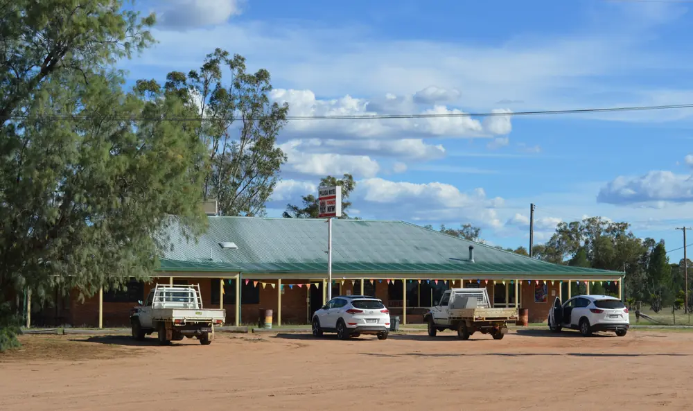
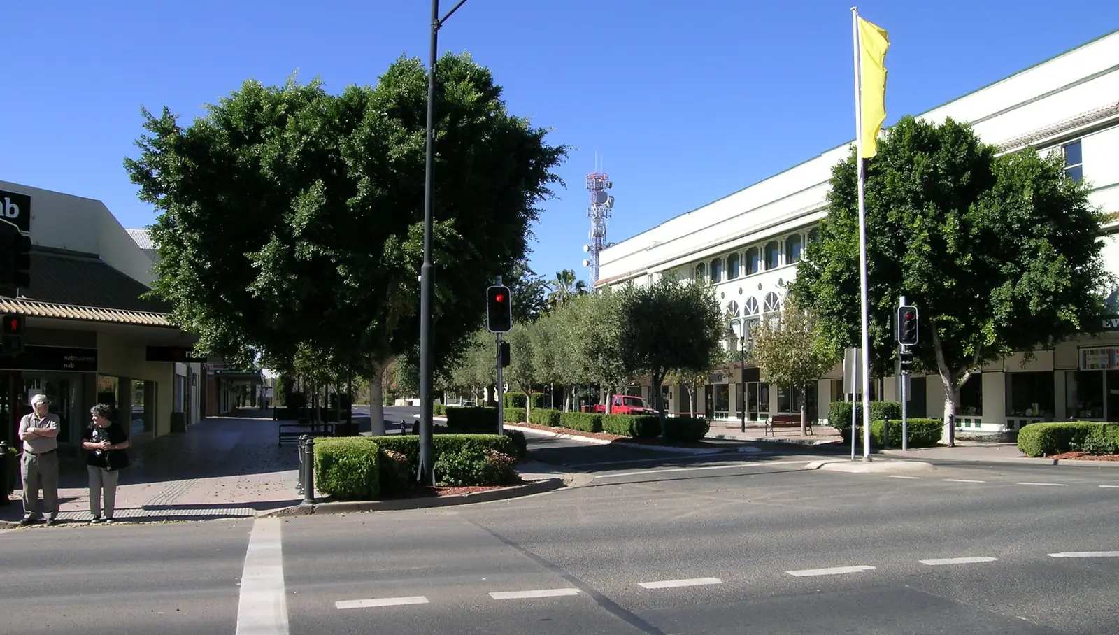
The Pilliga HotelPhoto: Mattinbgn (talk · contribs) · CC BY 3.0 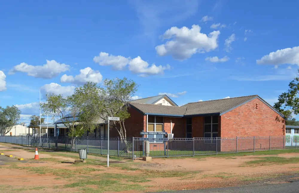
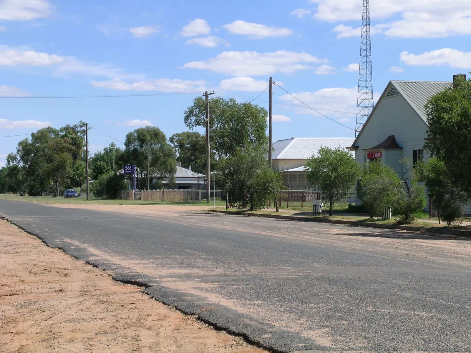
Pilliga Public SchoolPhoto: Mattinbgn (talk · contribs) · CC BY 3.0 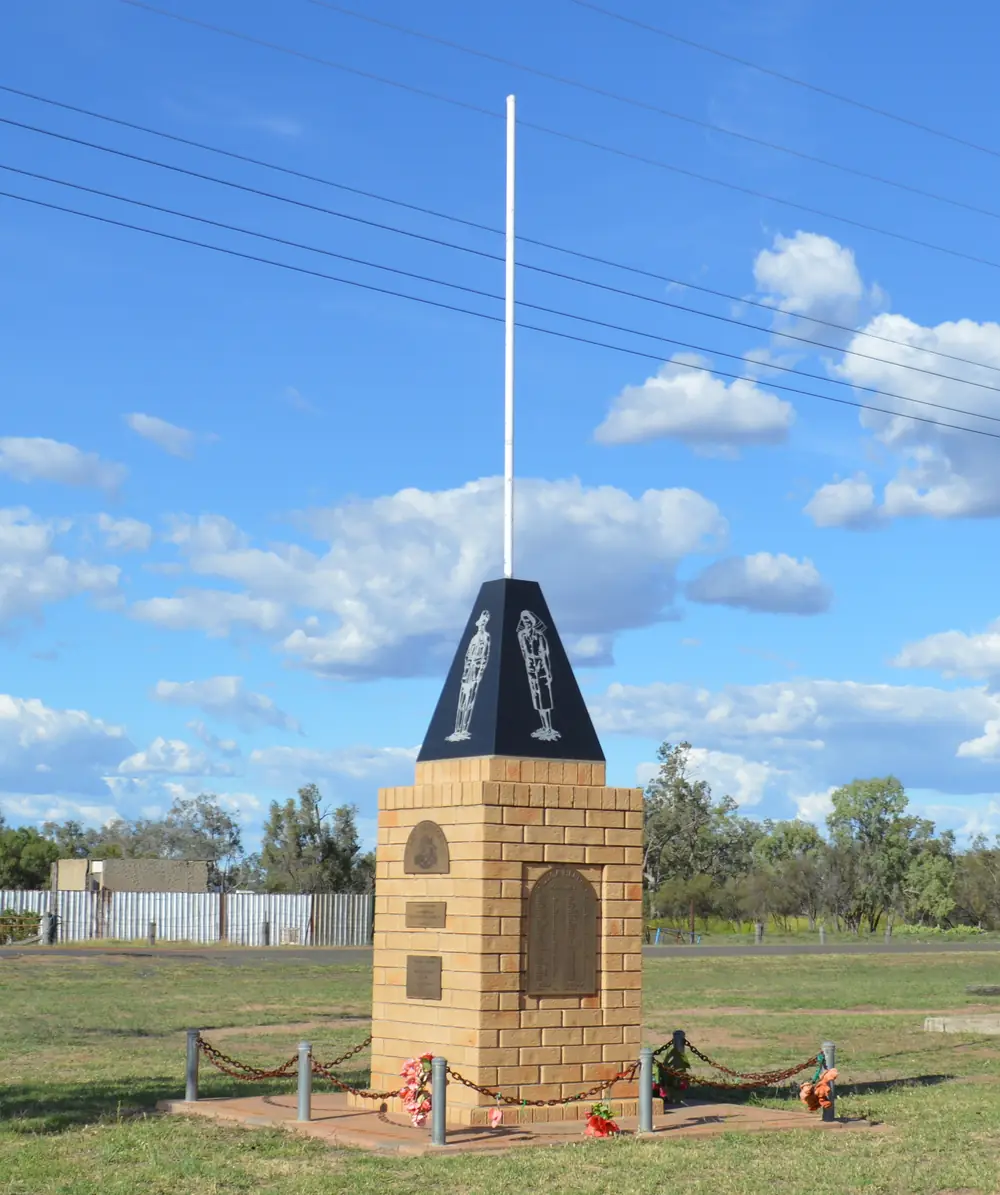
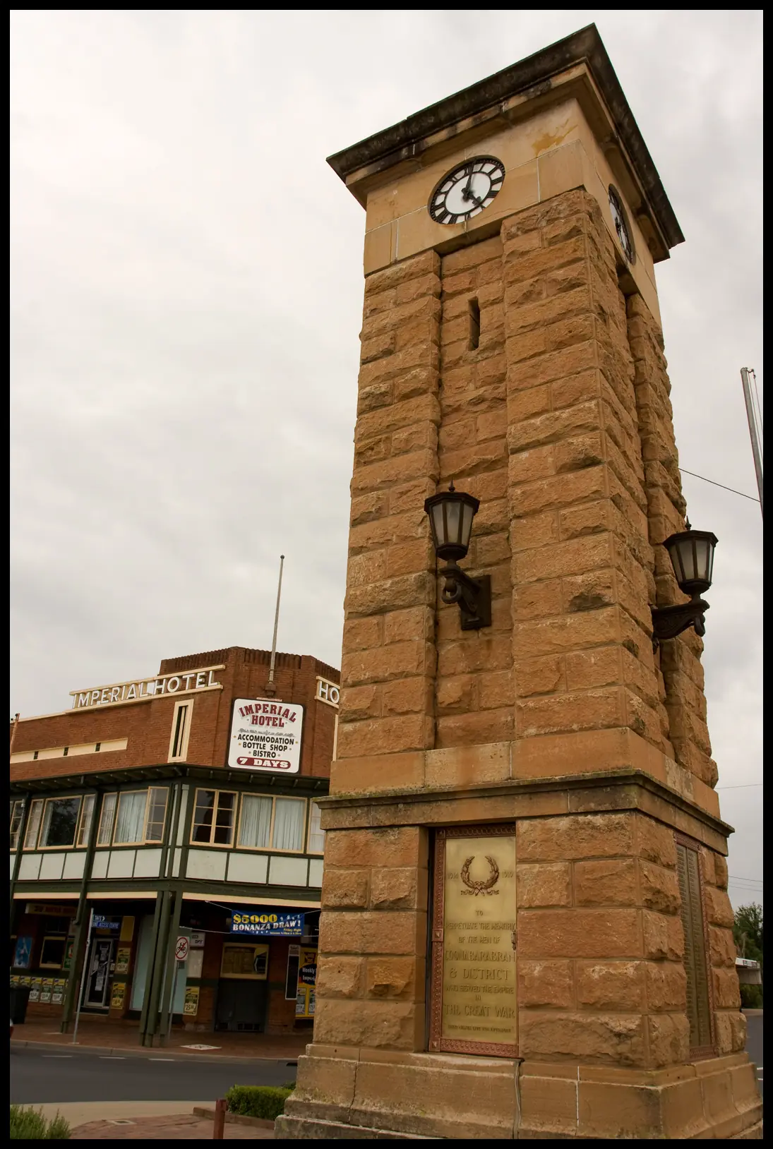
Pilliga's war memorialPhoto: Mattinbgn (talk · contribs) · CC BY 3.0 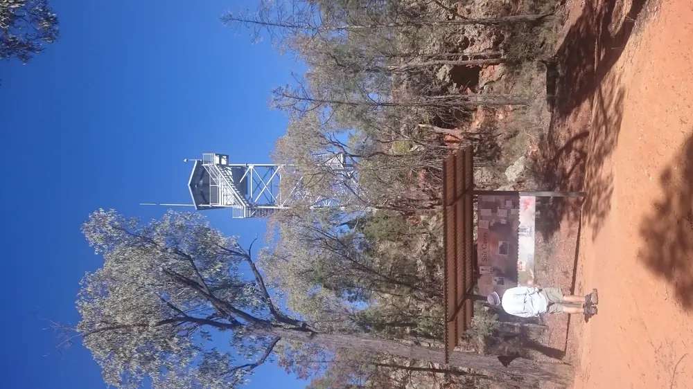
A fire tower in the Pilliga ScrubPhoto: JulieMay54 · CC BY-SA 4.0
Pilliga sits on the edge of Pilliga State Forest in Narrabri Shire, on the western side of New England North West. Narrabri Shire’s Pilliga and Gwabegar page calls it a small country village with hot artesian bore baths, a lagoon for canoeing and birdwatching, a café, a pub, and a community link and rural transaction centre. It is not Baradine, not the Pilliga Forest Discovery Centre, and not a city. Destination NSW pronounces the forest pilly-gah. This hub is the village. Coonabarabran is the Newell Highway neighbour on this site; Moree is the artesian-centre neighbour. Narrabri does not have a town guide here — do not invent a URL.
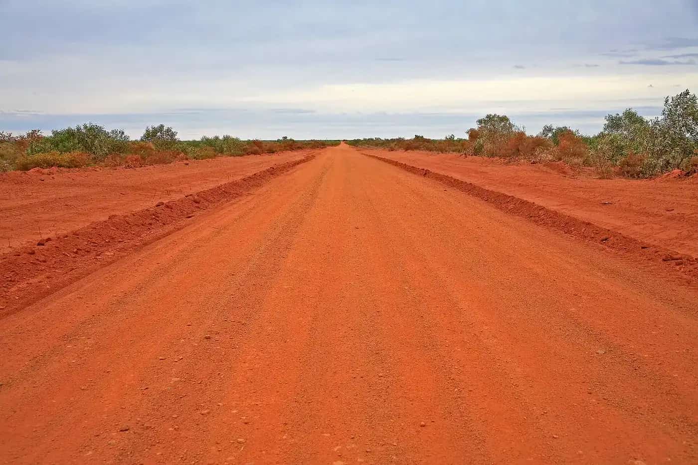
Forest roads are a different story from the village baths. NSW National Parks says Pilliga Forest is always open but may close for poor weather or fire danger, and visitor info marks unsealed roads as dry weather only. Ask at Wellington Street in Baradine, and check Live Traffic NSW, before you leave the lagoon for Sandstone Caves or Sculptures in the Scrub.
The Australian Bureau of Statistics does not publish a 2021 Urban Centre (UCL) named Pilliga on the QuickStats pages used here. Use suburbs-and-localities SAL13217: 175 people, median age 51, sex split 49.2% male / 50.8% female, 32 families, 112 private dwellings. Aboriginal and/or Torres Strait Islander people were 26.3% of the SAL. QuickStats notes small random adjustments for confidentiality. Read the ABS SAL QuickStats.
Where it is, and how far
Pilliga is a Narrabri Shire village on the forest fringe. Destination NSW locates Pilliga Forest between Coonabarabran and Narrabri, close to Baradine. NSW National Parks puts the discovery centre in Baradine. This hub does not invent a Narrabri or Coonabarabran kilometre that is not on those official pages.
| Place | Distance from Pilliga (sourced) |
|---|---|
| Baradine (forest VIC) | the NPWS and Visit NSW forest gateway; no Pilliga-village kilometre on the pages fetched |
| Coonabarabran | Baradine is 45 km north-west of Coonabarabran (Visit NSW Baradine page); that is a Baradine figure, not a Pilliga offset we invented |
| Moree | the next large artesian town on this site; no Pilliga kilometre on Visit Moree Plains pages used here |
| Pilliga West Forestry BOM station | closed table 052024; BOM lists Baradine Forestry 33.3 km from that station (station-to-station, not a driving distance) |
Fill and plan in Moree or Coonabarabran if you need a larger service town. Gwabegar is the other Narrabri Shire forest village on the same council page; it does not have a guide here.
Facts at a glance
Population. ABS 2021 Census, Suburbs and Localities SAL13217: 175 people. Median age 51. No UCL on the pages used here.
Climate. BOM monthly-statistics list used here includes PILLIGA WEST FORESTRY, 052024, location 30.75°S, 148.80°E, commenced 1940, closed 31 December 1956. January mean maximum 33.8 °C, July 16.4 °C, annual rainfall 616.1 mm on that short closed table. The nearest open forest-side table is Baradine Forestry, 053002: January 33.5 °C, July 16.6 °C, annual rainfall 625.6 mm. NPWS visitor info says average annual rainfall around 600 mm and summer days often exceed 40 °C. Do not average the tables into a fake village mean. See Pilliga weather.
Visitor information. There is no Pilliga-village VIC on the sourced pages. Forest questions go to Pilliga Forest Discovery Centre, 50–58 Wellington Street, Baradine, 9am to 4pm daily, closed Christmas Day, (02) 6843 4011, pfdc@environment.nsw.gov.au. Village questions go to Narrabri Shire Council, 46–48 Maitland Street, Narrabri, (02) 6799 6866.
Traditional Owners
NSW National Parks asks visitors to take a short walk at Sandstone Caves to learn about an important Aboriginal site and the Gamilaraay People’s connections to this landscape. Destination NSW uses Gamilaroi for the same caves. Pilliga village is on the Narrabri Shire side of that forest. This hub follows those official sentences rather than inventing a village-only nation label. Confirm wording at the discovery centre or with Narrabri Shire. Read visiting Country respectfully. Sandstone Caves are a guided or park-advice site, not a casual village shortcut.
History
This hub does not invent a gazettal year that was not on the Narrabri Shire and NPWS pages fetched. What those pages do record is a forest-edge village with artesian water, a lagoon, and a timber and cypress landscape that NPWS now describes as Pilliga Nature Reserve, Timmallallie National Park, and Pilliga West and East State Conservation Areas — more than half a million hectares, 2,000 km of public access trails.
Gwabegar, on the same council page, is described as sitting in the middle of the largest naturally formed cypress pine forest in the southern hemisphere, covering 3000 square kilometres on that wording. That is a Gwabegar sentence, not a Pilliga-village claim we have moved.
Artesian bathing is the village headline. See the Great Artesian Basin.
Things to do
Pilliga artesian bore baths — Narrabri Shire: hot artesian bore baths with therapeutic mineral waters and a new amenities block. Destination NSW: an oasis in rolling scrubland, Great Artesian Basin water, a top spot to watch Pilliga sunsets. Confirm hours with council. Limit soaks in hot artesian water.
Lagoon — Narrabri Shire: on the edge of town, canoeing and birdwatching, high diversity including coastal migratory birds. Stay on public access. After flood, stay off closed banks.
Café, pub, community link and rural transaction centre — named by Narrabri Shire, with attached multipurpose courts. Hours change. Ask locally.
Pilliga Forest — NPWS and Visit NSW: trails by car or on foot, Sandstone Caves, Sculptures in the Scrub campground in Timmallallie National Park, Salt Caves campground on Visit NSW’s forest page. Drop into the Baradine discovery centre first. Unsealed, dry weather only. See things to do in Pilliga.
Coonabarabran’s Warrumbungles and Moree’s aquatic centre are other town days.
Where to stay
Official named stay types:
- Village — Narrabri Shire names a café and pub; confirm whether rooms are offered
- Forest campgrounds — Sculptures in the Scrub (NPWS: no camping fee, a booking fee applies on that page) and Salt Caves (Visit NSW)
- Baradine — Camp Cypress and Lions Park dump point on Visit NSW’s Baradine page
- Moree or Coonabarabran — if you need a motel strip
Those are official named types, not a ranked inventory. Confirm at (02) 6799 6866 or (02) 6843 4011.
- How to choose: Pilliga accommodation
- Camping detail: Pilliga caravan parks
- Operator enquiries: feature your business
Caravan and camping
Vans use Pilliga as a forest-fringe overnight. Official named camps are NPWS forest sites, not a sourced village park brand on the Narrabri Shire page fetched. Ask the discovery centre for stay limits and whether tracks are open. Read Pilliga caravan parks. After rain, forest creeks may become impassable (NPWS). Live Traffic NSW first.
Fuel and services
A locality of 175 people will not match Moree or Coonabarabran for fuel, groceries or a hospital. Narrabri Shire names a café, pub, community link and rural transaction centre. This guide does not list bowser brands. Fill when you can. Carry water. NPWS: limited mobile reception in the forest; download Emergency Plus before you go.
For current questions, use Narrabri Shire (02) 6799 6866 and the discovery centre (02) 6843 4011.
Road access
Sealed access to the village is the ordinary-weather assumption; NPWS forest roads are unsealed, 2WD, dry weather only. Check Live Traffic NSW. Do not drive around closed signs to keep a bath or cave plan. The Coonabarabran–Baradine–Warrumbungle scenic drive is named by NPWS as a forest approach, not a Pilliga-village bypass we have measured.
Nearby parks and towns
Parks:
- Pilliga National Park / Pilliga Forest — NPWS cluster including Timmallallie
- Village lagoon (Narrabri Shire)
There is no Pilliga park page on this site yet. Use the NPWS URL.
Towns on this site:
- Moree — artesian aquatic centre
- Coonabarabran — Warrumbungles, Siding Spring
- Baradine — forest discovery centre; this site has a Baradine guide in the same wave
When to go, and how long
NPWS: autumn is a great time for walking and camping; summer is generally hot and often exceeds 40 °C; winter nights can be very cold with clear sunny days. Baradine Forestry’s January mean maximum of 33.5 °C is the open-station picture; the park page’s 40 °C is the extreme the means hide. See Pilliga weather.
One night covers the baths and the lagoon. Two nights if the discovery centre has confirmed a forest camp and the tracks are open. Two full tourist days on the village street is more than the sourced list supports unless you are using Pilliga as a rest day on the forest fringe.
Operators who want a checked listing: feature your business. The listings slot stays empty until then.
Plan this trip
Tell us the dates, who you are travelling with and where you need help. We reply with planning notes for Pilliga — we are not a booking agent.
Events and road-conditions newsletter
Occasional notes on outback festivals, race days and official road-condition sources — not a daily blast. We use these details only to send the newsletter.
New South Wales · New England North West
Pilliga accommodation
Where to stay in Pilliga: Narrabri Shire names a pub and café. NPWS names Sculptures in the Scrub. Confirm rooms and forest camps before you treat the village as a motel strip.
Read · 3 min
New South Wales · New England North West
Pilliga caravan parks
Camping in Pilliga: Narrabri Shire does not name a village caravan park on the page used here. NPWS names Sculptures in the Scrub. Baradine’s Camp Cypress is the town-park neighbour.
Read · 3 min
New South Wales · New England North West
Pilliga weather
Pilliga climate from closed BOM Pilliga West Forestry (052024) plus open Baradine Forestry (053002): January mean max 33.5 °C, July 16.6 °C, annual rainfall 625.6 mm. Forest roads are dry-weather only.
Read · 5 min
New South Wales · New England North West
Things to do in Pilliga
Things to do in Pilliga: Narrabri Shire artesian bore baths and lagoon, then NPWS Pilliga Forest from the Baradine discovery centre. Sandstone Caves are Gamilaraay Country.
Read · 3 min
Frequently asked questions
Is Pilliga the same as Pilliga Forest or Baradine?
No. Narrabri Shire’s Pilliga and Gwabegar page describes Pilliga village on the edge of Pilliga State Forest, with bore baths and a lagoon. NSW National Parks places the vast Pilliga Forest near Baradine and puts the Pilliga Forest Discovery Centre at 50–58 Wellington Street, Baradine. This hub is the village.
What is Pilliga’s population?
175 people at the 2021 Census for Pilliga suburbs-and-localities (SAL13217), median age 51. The ABS does not publish a 2021 Urban Centre (UCL) named Pilliga on the QuickStats pages used here.
Are there artesian baths in Pilliga?
Yes. Narrabri Shire names hot artesian bore baths with a new amenities block. Destination NSW’s hot-springs article names the Pilliga Artesian Bore Baths, fed by the Great Artesian Basin, as a sunset stop. Confirm current hours with Narrabri Shire.
What is the weather like in Pilliga?
BOM’s monthly-statistics list used here includes closed Pilliga West Forestry (052024), not a still-open Pilliga Post Office table. Use that closed table plus open Baradine Forestry (053002): January mean maximum 33.5 °C, July 16.6 °C, annual rainfall 625.6 mm at Baradine.
Which council is Pilliga in?
Narrabri Shire Council. Baradine, the forest gateway town on this site, is in Warrumbungle Shire on Visit NSW’s Baradine page. Do not mix the two.
Sources and further reading
Facts on this page were checked against these primary and official sources. Conditions change — confirm before you travel or buy.
- Pilliga 2021 Census QuickStats (SAL13217) — Australian Bureau of Statistics
- Climate statistics for Pilliga West Forestry (052024) — Bureau of Meteorology
- Climate statistics for Baradine Forestry (053002) — Bureau of Meteorology
- Pilliga and Gwabegar — Narrabri Shire Council
- Pilliga Forest — Destination NSW
- The top hot springs and thermal pools in NSW — Destination NSW
- Pilliga National Park — NSW National Parks and Wildlife Service
- Pilliga National Park visitor info — NSW National Parks and Wildlife Service
- Live Traffic NSW — Transport for NSW